
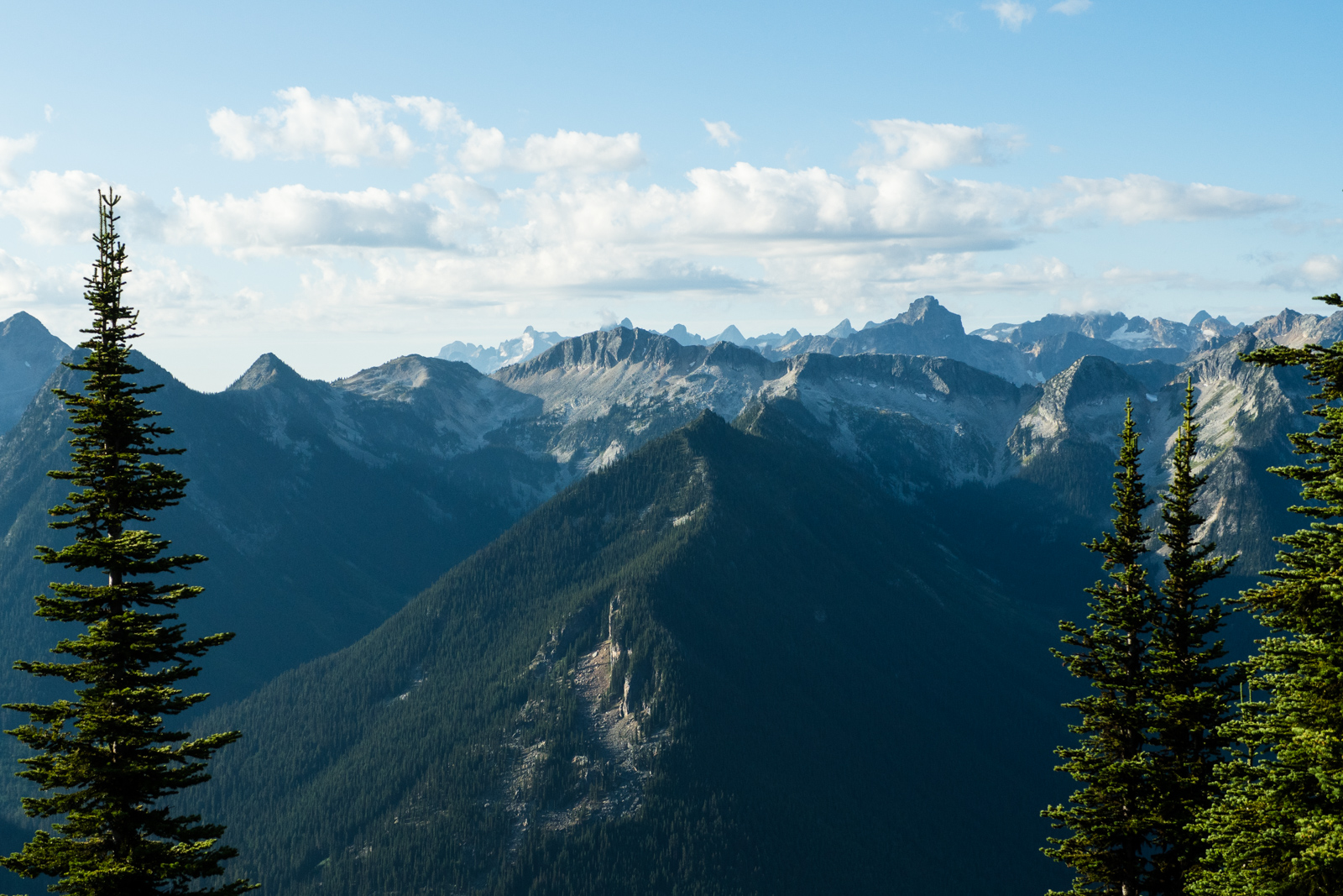
Valhalla Provincial Park is a hidden gem that protects a spectacular subrange of the Selkirk Mountains in the West Kootenay Region of British Columbia. It is home to glaciated peaks, wildflower meadows, and sparkling alpine lakes. While you can’t ride a bike into the park, you can ride around it. This route follows a mix of highway, rail trail, logging road, ATV tracks, ancient mining roads, and some off-trail hike-a-bike to circumnavigate the range. It makes for a great loop for those with a sense of adventure.
Highlights:
- Riding up Hailstorm Ridge and the views of the Valhallas from the top
- Exploring the abandoned Tillicum Mine
- Enjoying ice cream and other treats at the campground in Burton
- Cycling the shores of Slocan Lake
Background
I mapped out this route in the summer of 2019 and rode it over Labour Day weekend. While there were mapped roads along most of it, two sections were a bit of mystery – Koch Pass and the ridge between Hailstorm and Tillicum. They were marked as trails on local ATV maps and after consulting with the Arrow Lakes ATV Club, I decided to give it a go. A few years later, a few locals independently mapped and rode out the same route, but I believe I’m the first to link it all together. Correct me if I’m wrong.
Route Map

WordPress won’t let me embed the route map from Ride With GPS, so click on the image instead.
Key stats:
- Distance: 213 km
- Elevation: 4,997 m
- Suggested riding time: 2-4 days
- Road surfaces: 80% unpaved
Route Guide
I began my ride at Roseberry Provincial Park campground and went counter-clockwise, so the route is written from that perspective. You could easily start in New Denver, Burton, or Slocan City, depending on where you’re driving in from.
Leaving Roseberry, the ride starts with a gentle 10-kilometre warmup along the Nakusp and Slocan Rail Trail. The shaded trail follows the shore of Slocan Lake to the community of Hills. Here, you’ll begin a long up Shannon Creek Forest Service Road to an 1,800m pass, before dropping down again down increasingly rough logging roads. Eventually you’ll begin climbing again until reach an abandoned mine at the bottom of Hailstorm Ridge. A 2.5 km push will bring you to the top of the ridge, where you’ll enjoy some incredible views of the surrounding mountains.
From the ridge, you have two options: 1. You can follow the road down the other side and cruise all the way to Burton. 2. You can stay on the route by hanging a left and following a steep trail to the top of Grey Wolf Mountain.
If you stay on route, you’ll find yourself on a trail-less ridge linking Grey Wolf Mountain and Golden Hope Peak. You’ll ride or walk through broad meadows with spectacular views of the Valhalla Range to the east. Eventually, an old mining road emerges and you can follow that steeply downhill to the abandoned Tillicum Mine. Be careful to stay on route and not get lost in the maze of old mining trails up here. From the mine, it’s all downhill to Burton, home to a great cidery and one of the most beautiful campgrounds in BC.
From Burton, you’ll begin a long gradual climb up the Burton Forest Service Road. The first dozen or so kilometres of this road were in great shape when I rode it in 2019, but it got progressively worse as I neared the head of the valley and I found myself pushing steadily up a rough ATV trail. I could barely tell I was still on a trail, but eventually I popped into a young plantation where the track was obvious. At the top of the pass, I found myself greeted by a perfectly graded logging road. (Note: The Kootenay Confluence route on Bikepacking.com follows this route from Slocan to Burton, so you can check the comments there for updates on this stretch.)
From there, the hard part is over and it’s generally easy cruising home. From the pass, it’s a long descent down Koch Creek FSR to Little Slocan Road. From the village of Slocan City, it’s 33 km of highway back to New Denver, where you can enjoy pleasant trail the rest of the way home.


Camping, lodging, food, and water
This route is almost entirely through public land, which means you can camp wherever you want. If you prefer a campsite, I’ve marked all the official ones on RideWithGPS. Water is readily attainable, but bring a filter. There’s no proper resupply between New Denver and Slocan City if you’re going counter-clockwise like I did. Burton does have a small store at the campground with limited options, but I wouldn’t rely on it for a meal.
Which Bike?
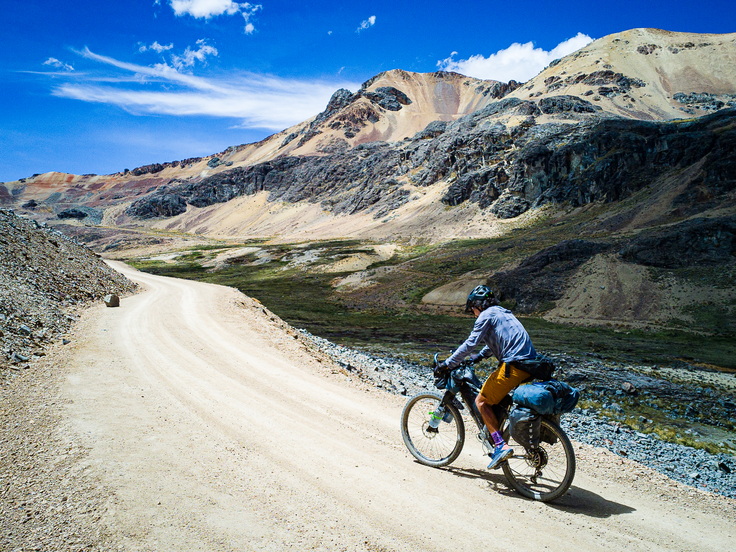
Given some of the rough, steep roads, a rigid mountain bike with 2.25″ tires is recommended at minimum. Front suspension is a bonus.
Must Know
When to ride & weather
You can pretty much only ride this route in summer as the high-passes won’t be snow-free until late-June at the earliest, and will likely be snowy again by mid-October.
Where to start?
You can start anywhere you can park your car. New Denver, Burton, or Slocan City are the preferred options.
Time and suggested itinerary
I’ve heard of people who’ve ridden this route in a day. A strong but human rider could do it in two days, but given the amount of climbing, I think three days is reasonable and four days would be a relaxed pace (but still over 1,000m of climbing per day).


Leave a Reply