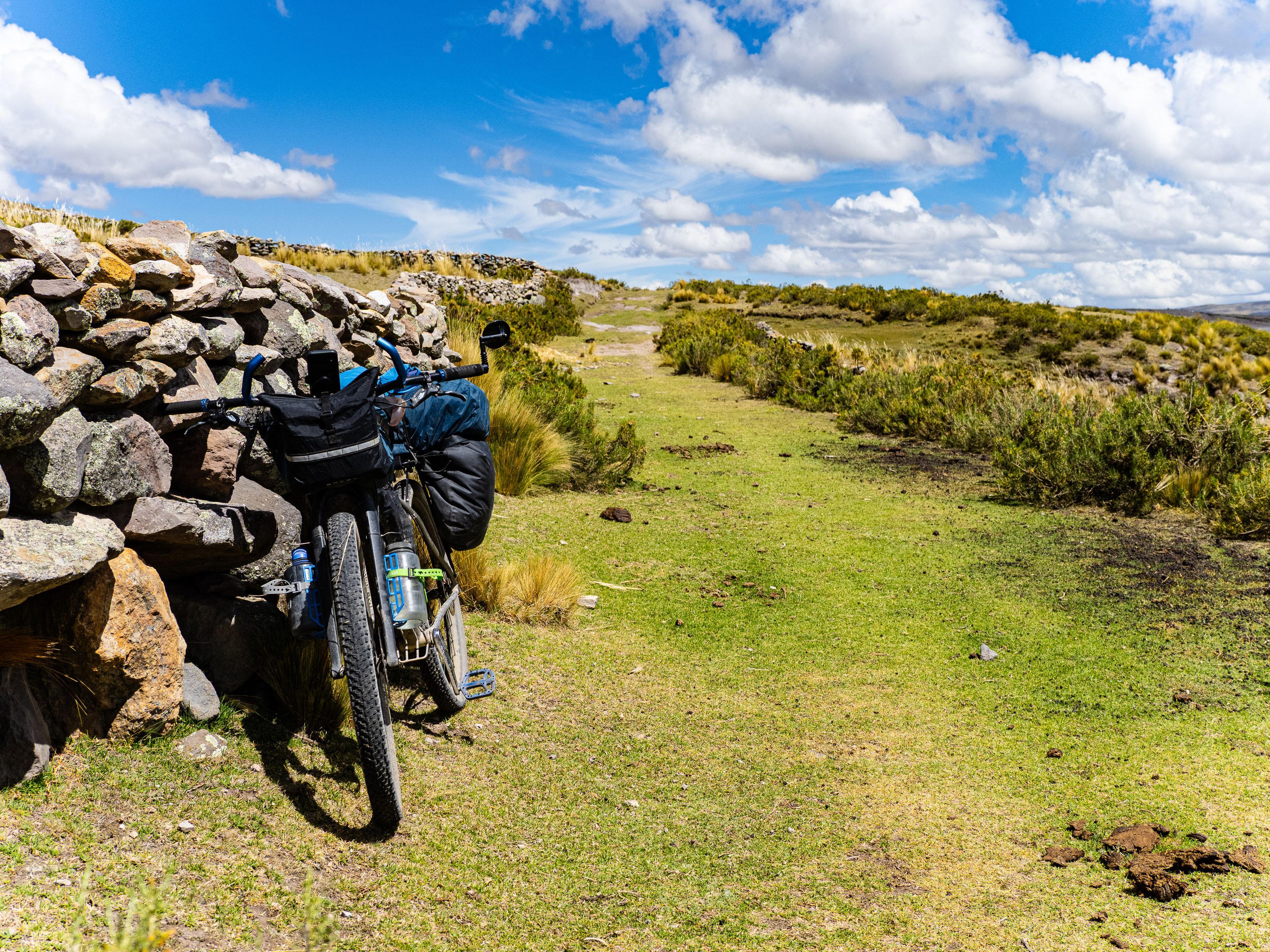
There wasn’t a single day on this trip that I didn’t experience a moment of awe at my surroundings. Peru is a beautiful country and spectacular scenery abounds. The three day stretch from Andamarca to Challuanca may have topped it all. That’s because I crossed over the stunning Nevado Ccarhuazo.
Ccarhuazo is one of those spots that jumped off the map when planning my route and when I saw there was a network of roads over and around it, it became a focal point of my trip planning. Its colours jumped out on Google Earth and the various ridges spreading out from its summit were enticing. The route from there to Cotahuasi, my next destination was less certain. I had a few ideas in mind, but ultimately chose a route that would take me through the stone forest of Pampachiri, allow me to enjoy a day off in Challuanca, then ride the full length of Cotahuasi Canyon.
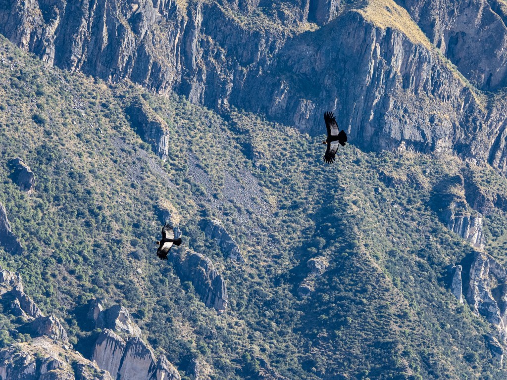
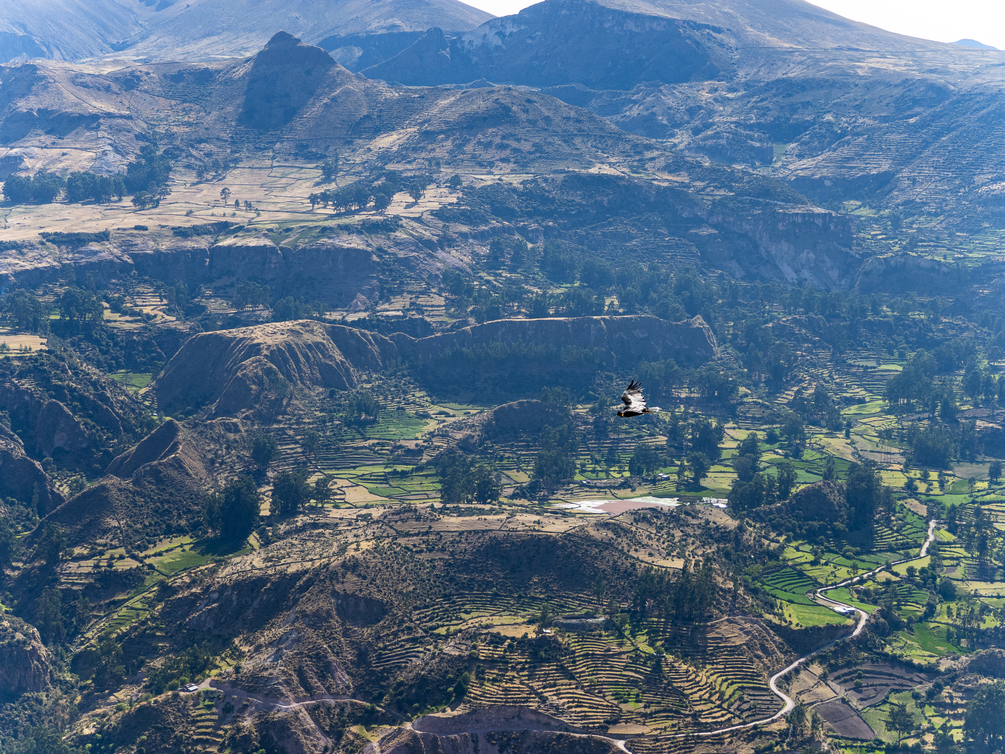
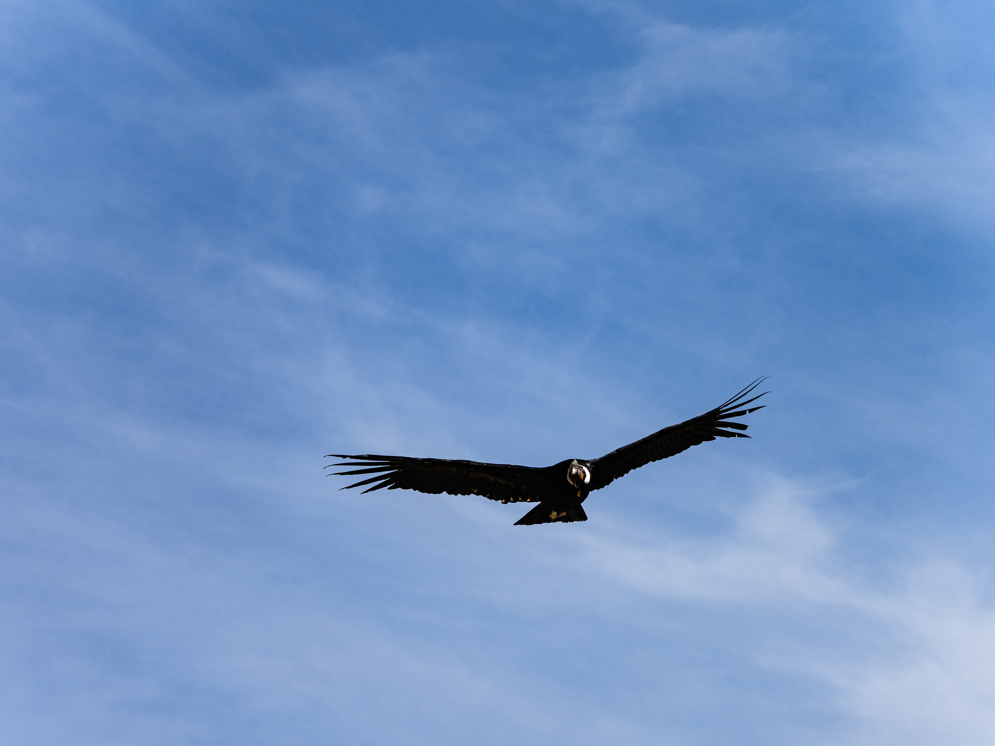
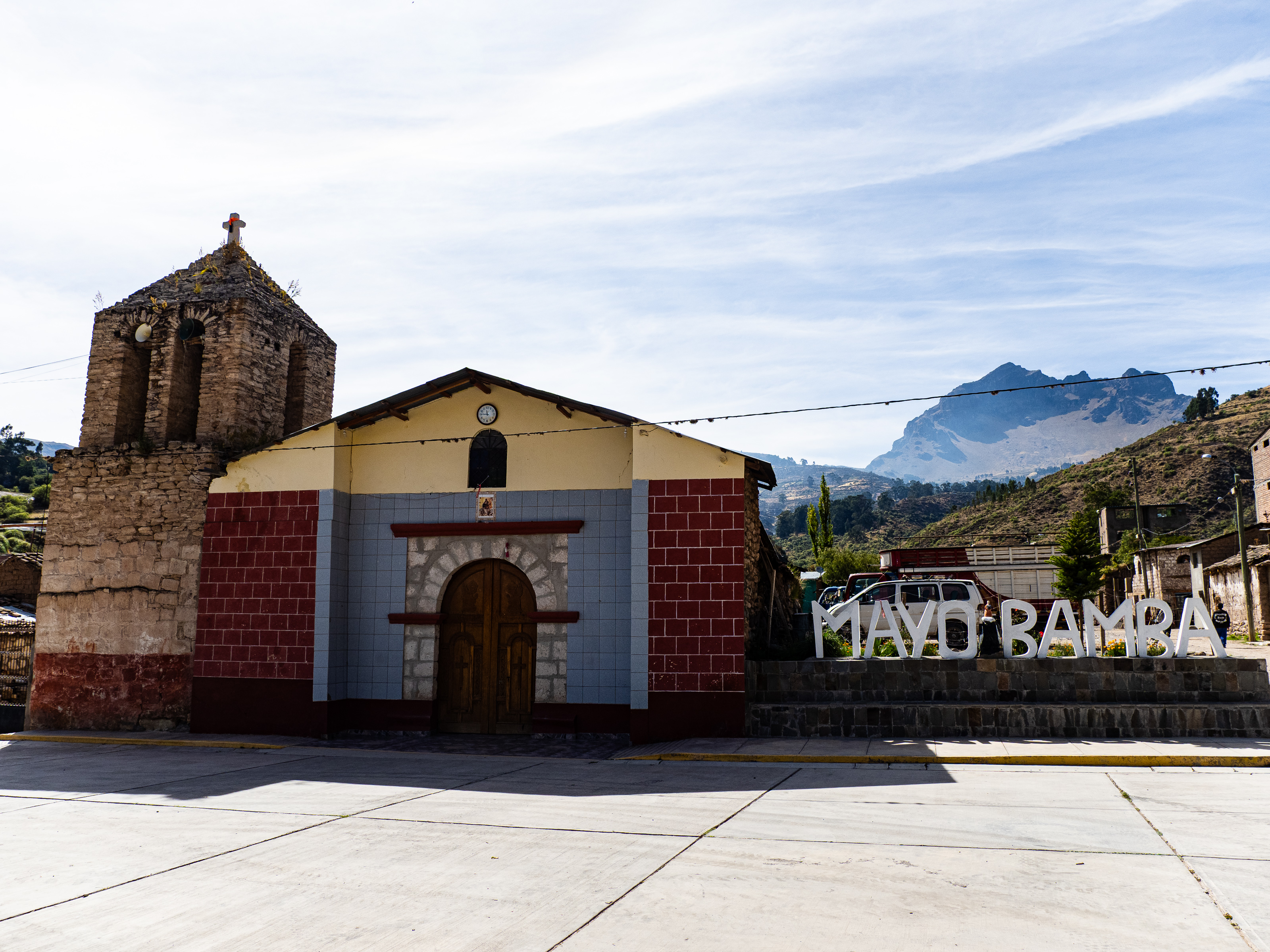
My first goal leaving Andamarca was to reach the Mirador de Condores Mayobamba. Local travel pages tout this as the best place to see condors in Peru, so I was eager to witness these majestic birds in flight for a second time this trip. Condors take flight in the morning, when the sun heats up the ground, creating thermals that they use to soar upwards. Knowing I had to get there early, I tried to arrange a ride through my hotel. Unfortunately, there was a miscommunication, and I only learned after sitting around for an hour that no ride was available. That meant I had to rush off to tackle the 15 km and 400 m of climbing quickly.
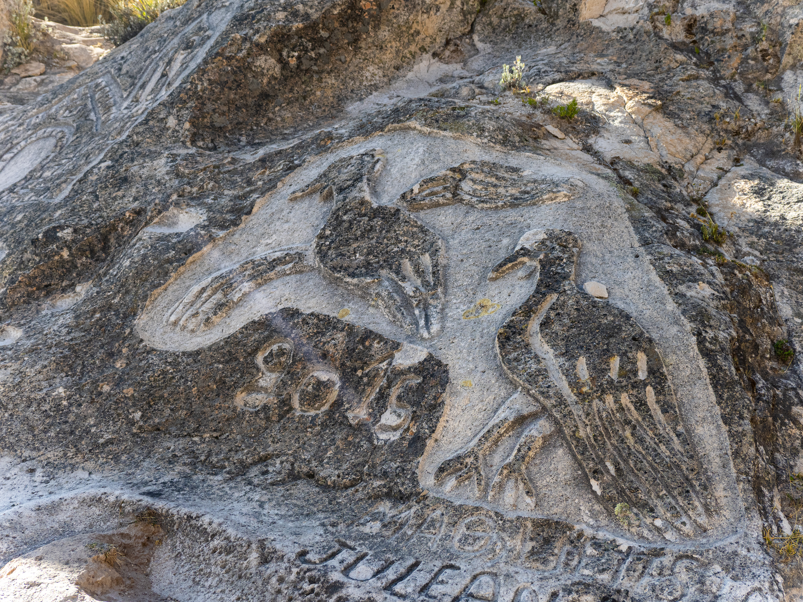
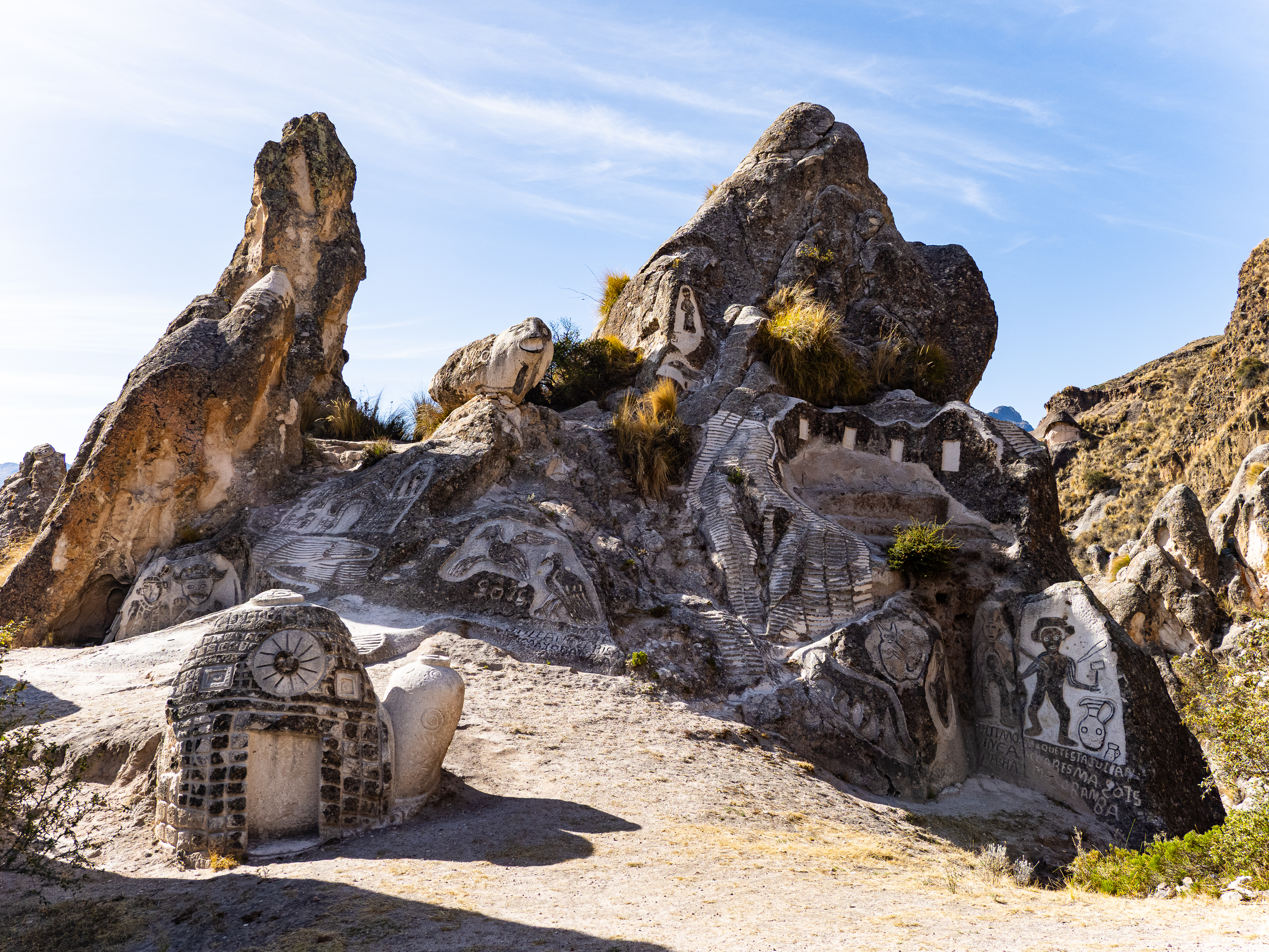
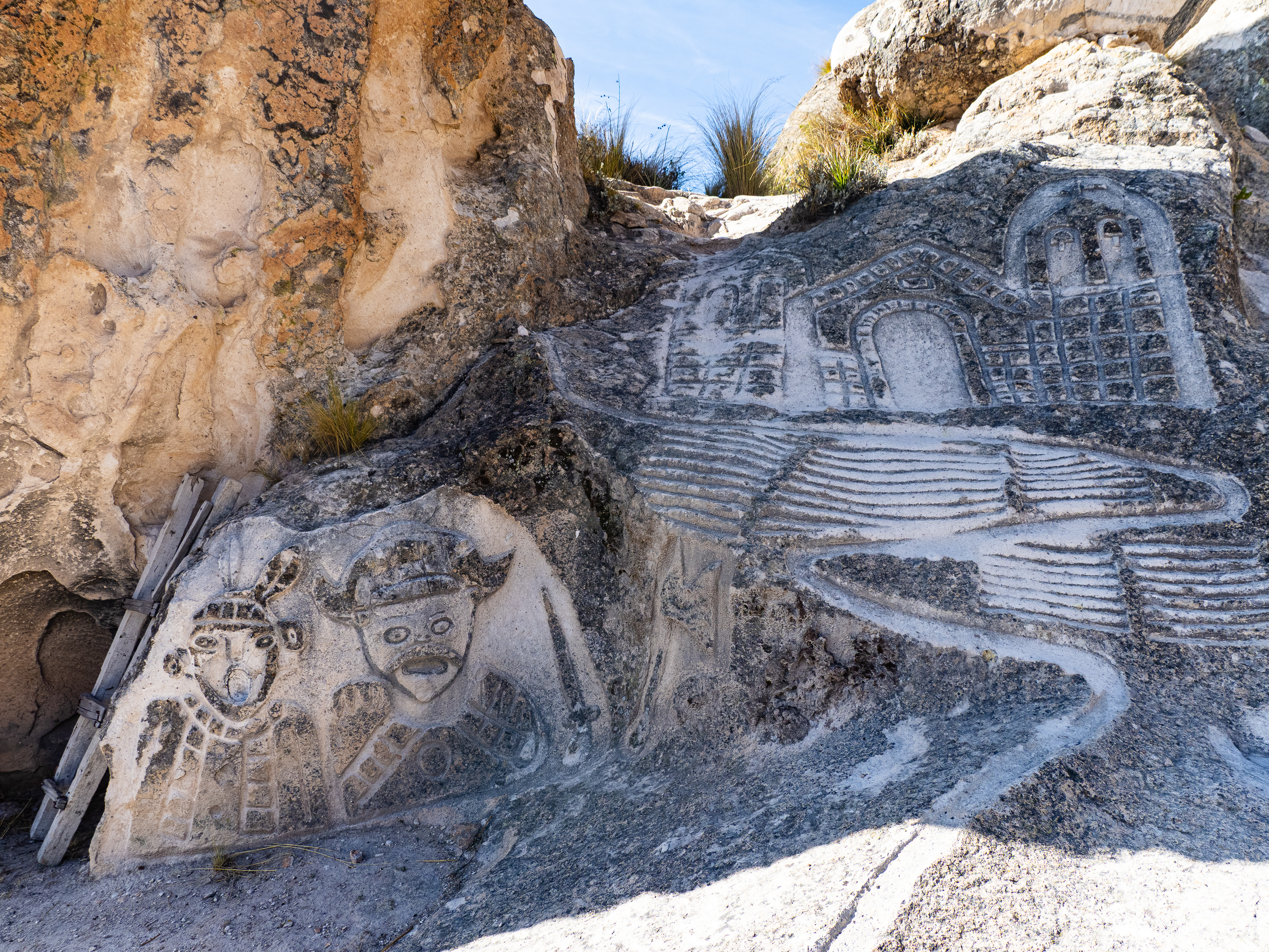
I dropped out of the city, crossed the river, and began ascending. I don’t like being rushed on my rides, and I definitely felt pressed to reach the lookout before the condors went back to their nests. So I climbed upwards a little faster than usual. Along the way, I made a brief stop at a the Zona Maquetas, where local artist Julián Cuaresma has spent decades carving various sculptures into the rocks. But I didn’t spend long admiring his creations before jumping back on the bike and descending a few switchbacks to the condor viewpoint.

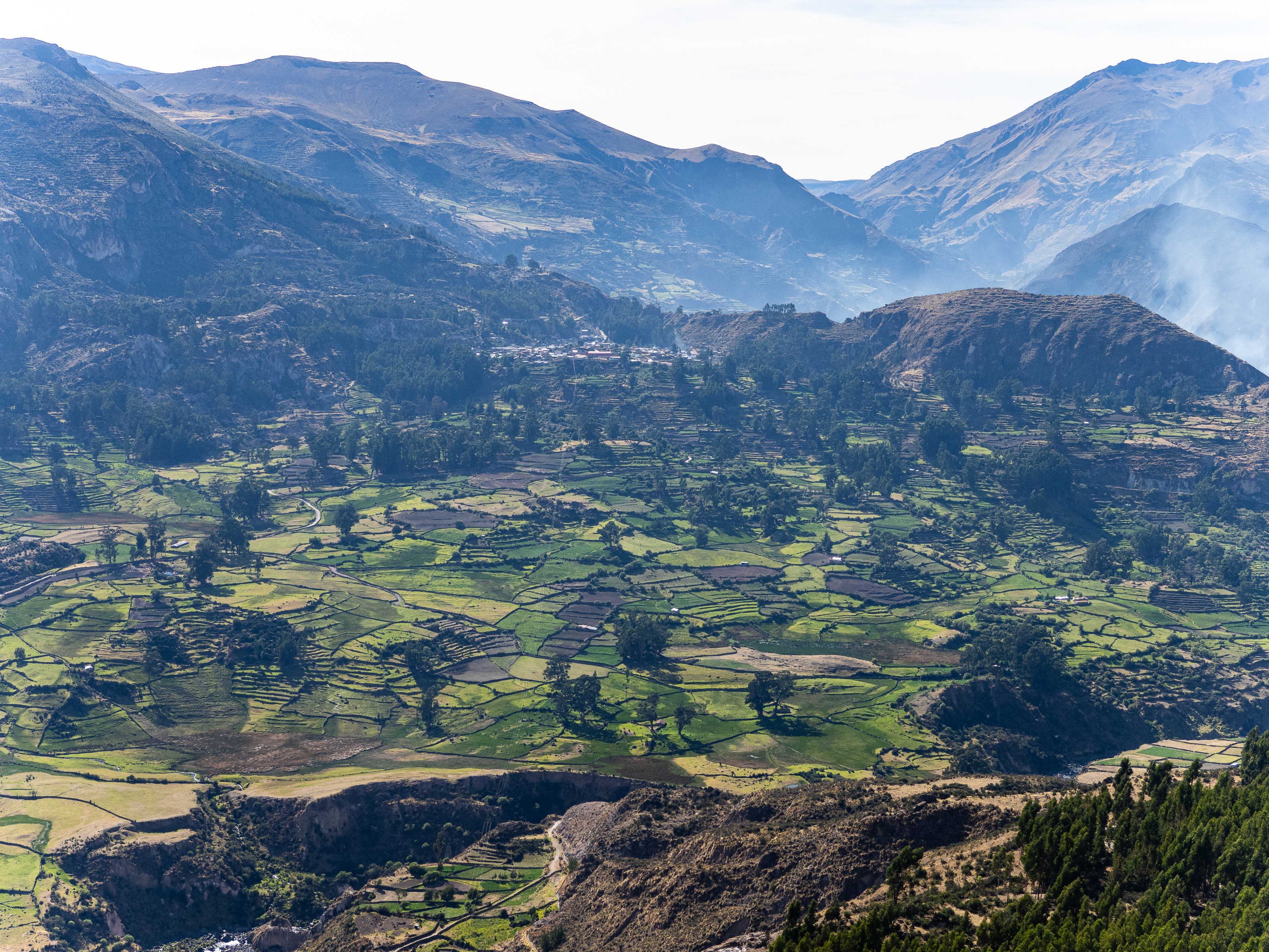
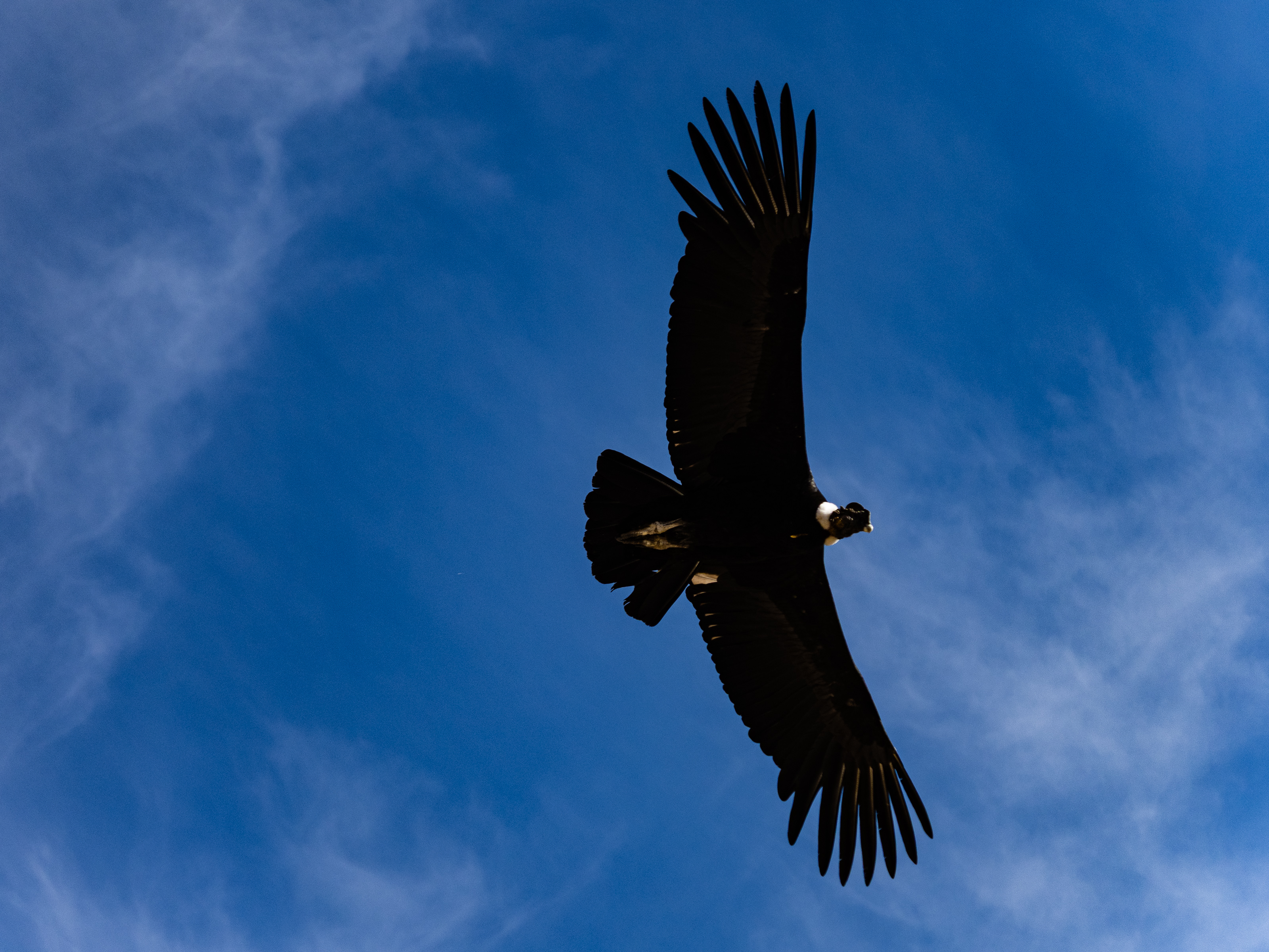
The condors were a little shy that morning and it took a while for them to show their wings. But my patient paid off, and eventually three took to the air, soaring along the nearby cliffs, majestically weaving through the air, riding the thermals like a master paraglider. Equally impressive was the view of the Mayobamba Valley, with its sprawling terraces covering the mountainsides all around it.
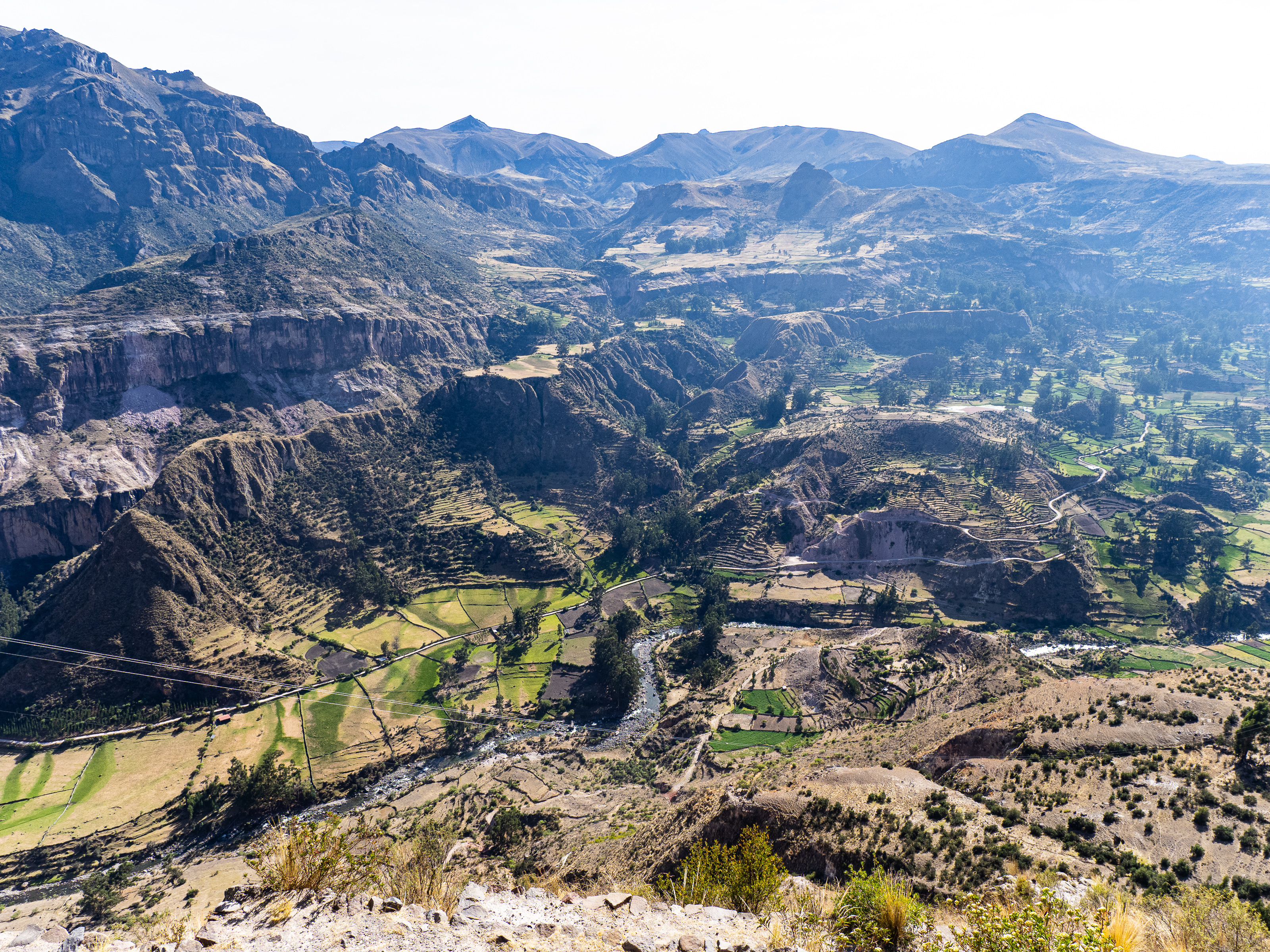
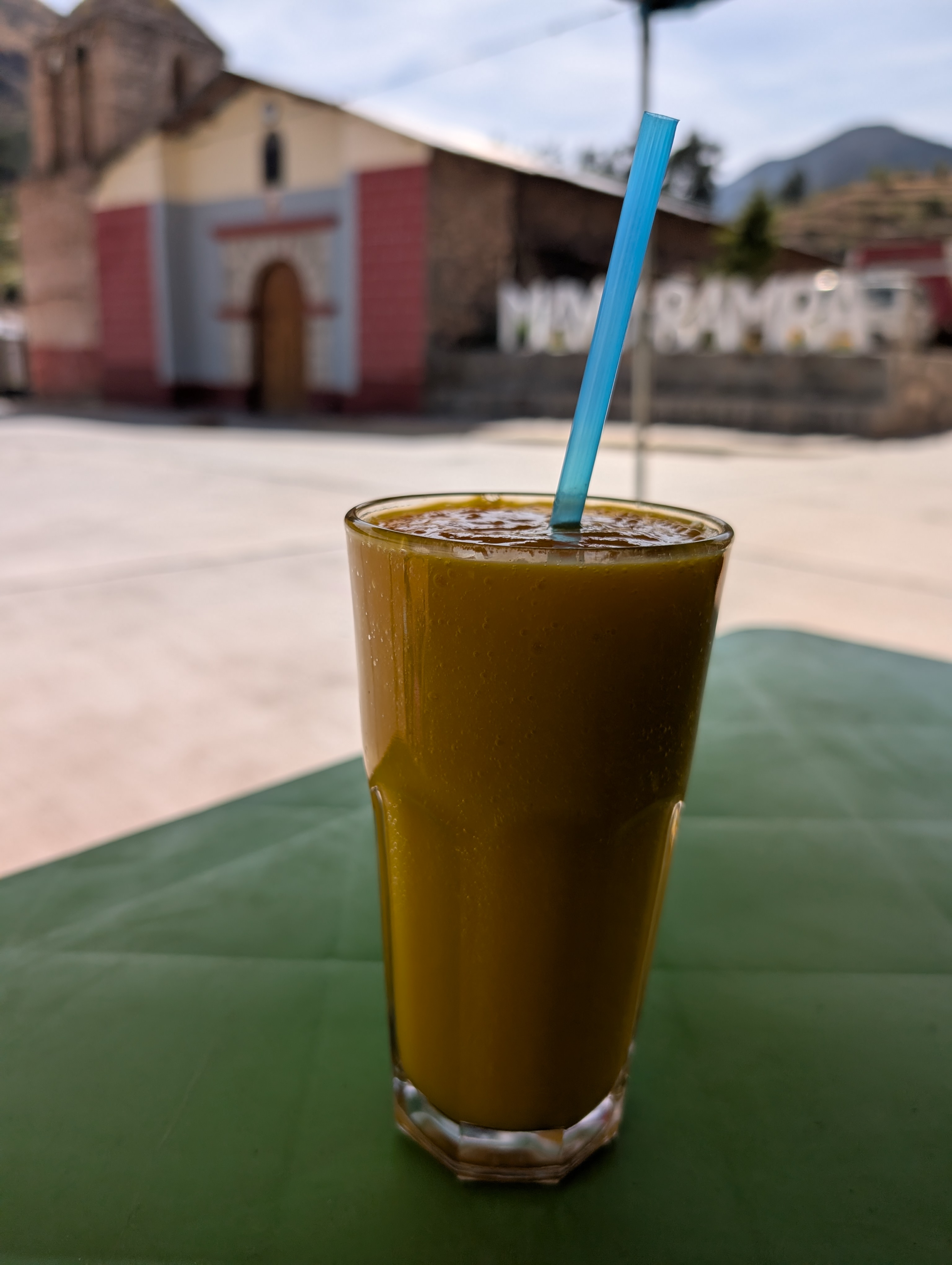
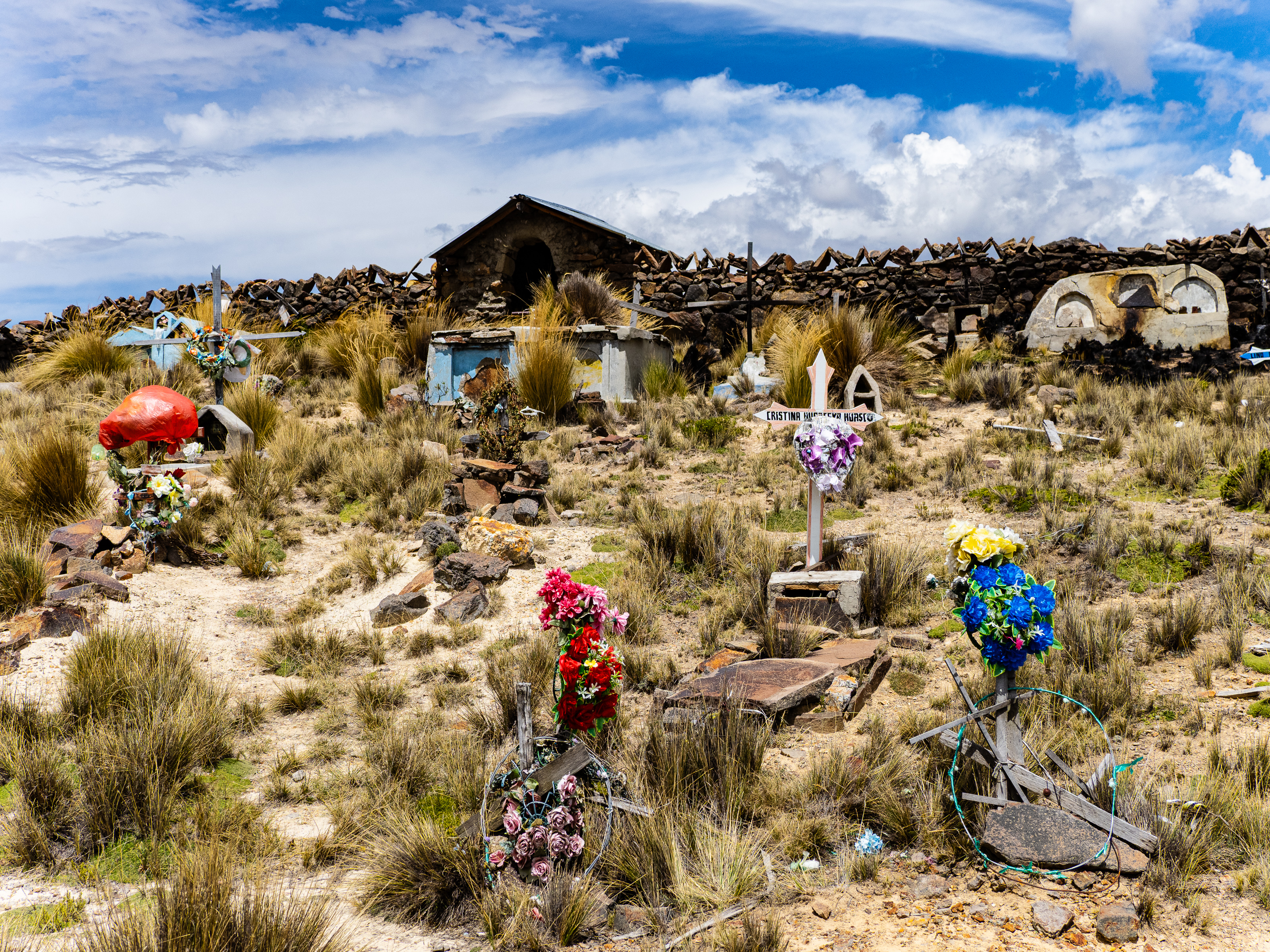
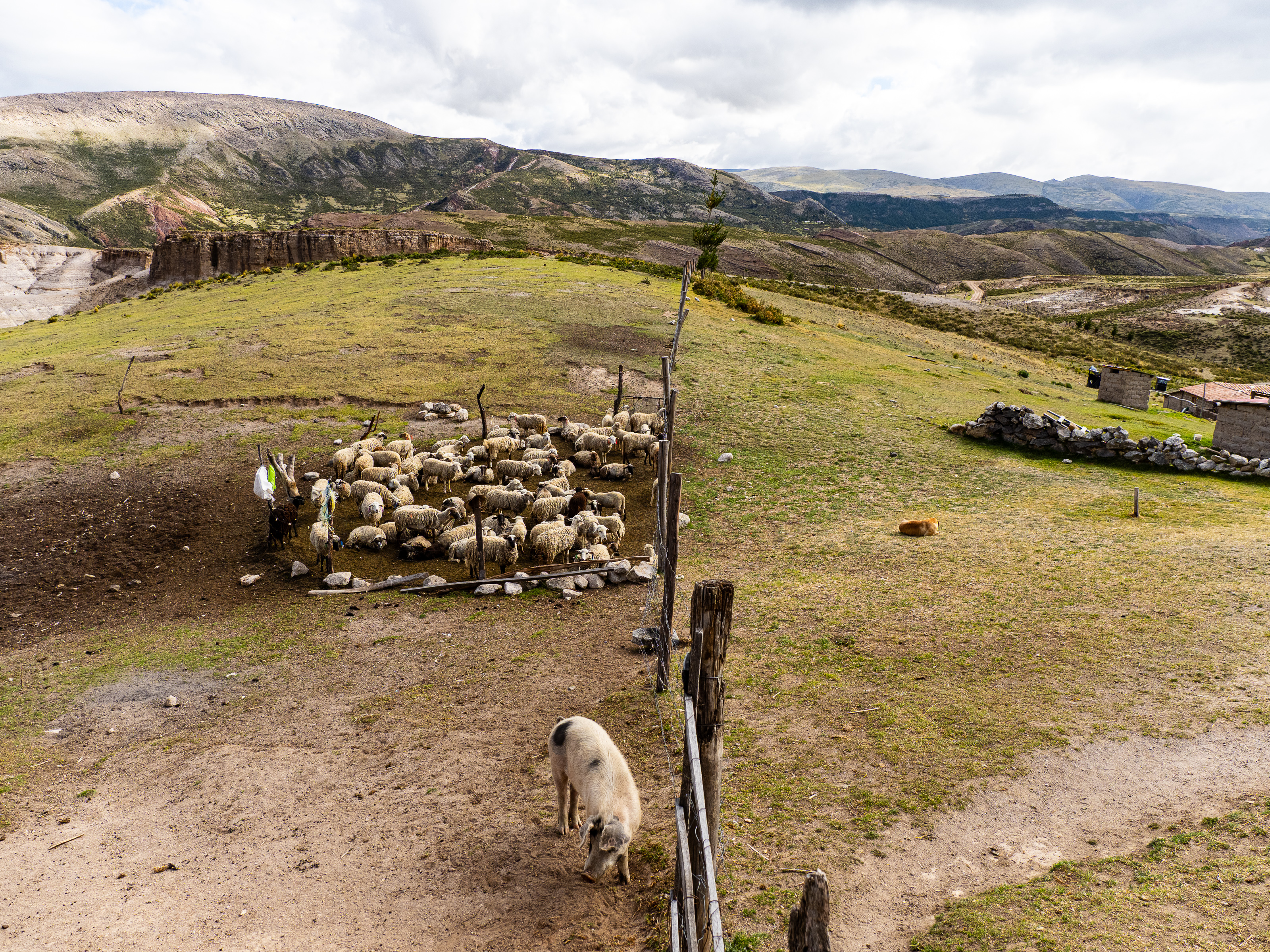
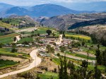
Descending to Mayobamba, I stopped for sandwhich and a glass of mango juice. I had skipped breakfast, so the boost was welcome. Mayobamba was a dusty village with a historic church (most of the churches in the Sondondo Valley date to the 17th century), so I didn’t linger long. Instead, I began the big climb up to Nevado Ccarhuazo. I pedaled past small farms, past indigenous people escorting their herds up and down the road. I stopped in Chipao for lunch, then set off for the remaining 1,200 m of climbing.
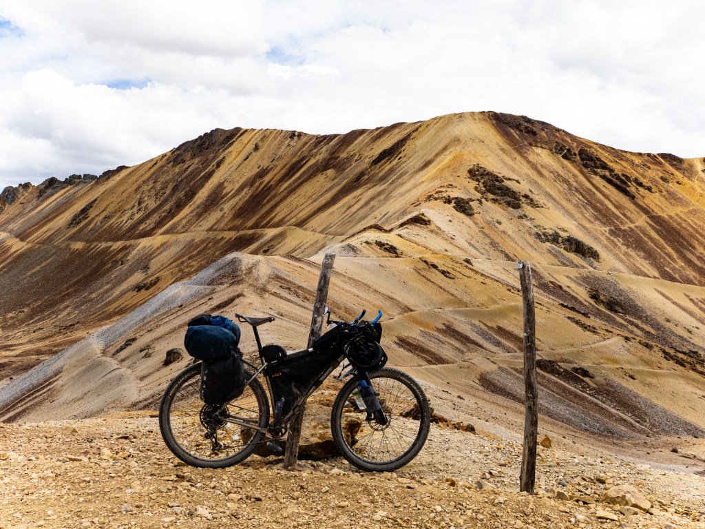
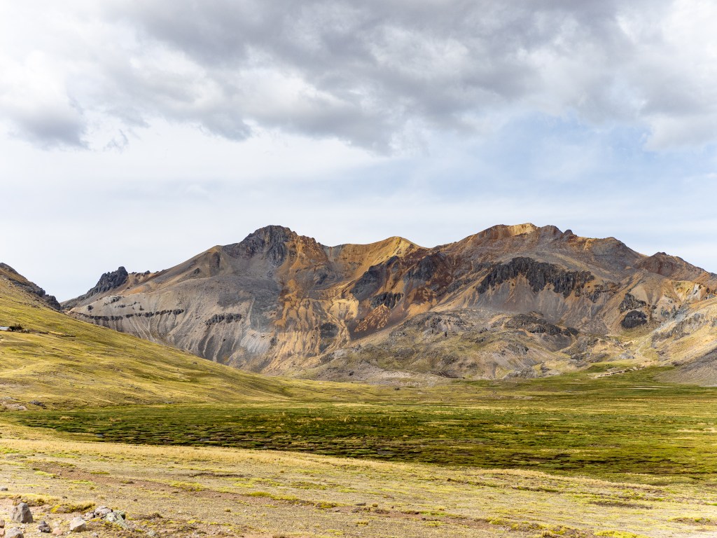
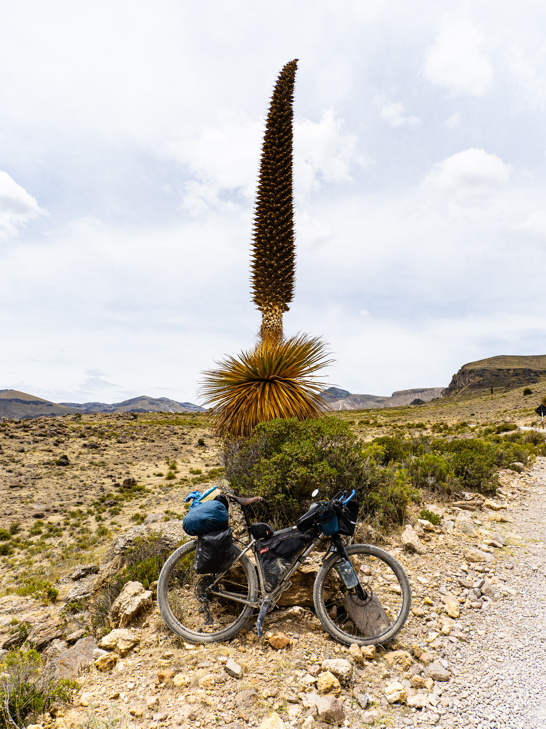
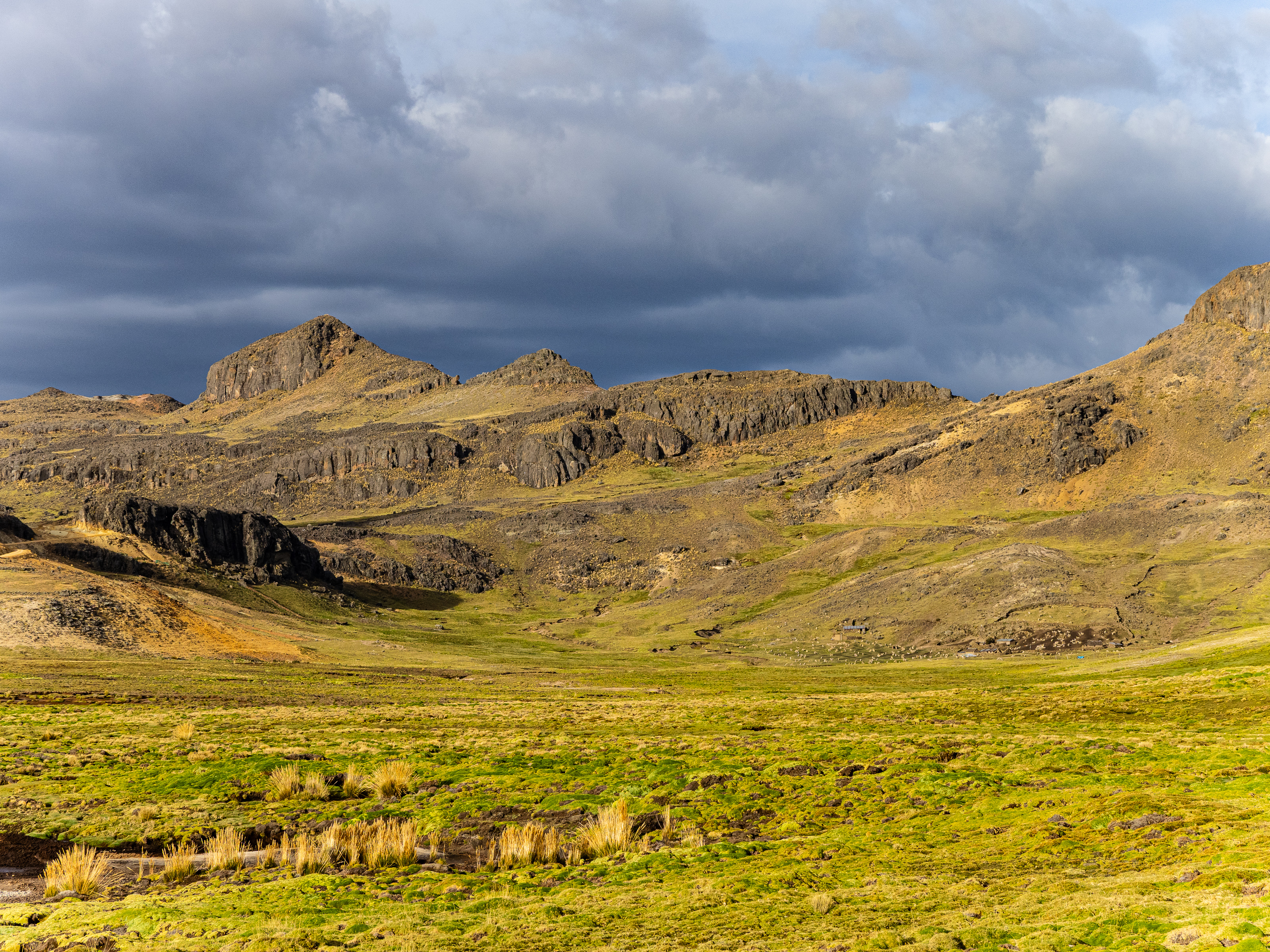
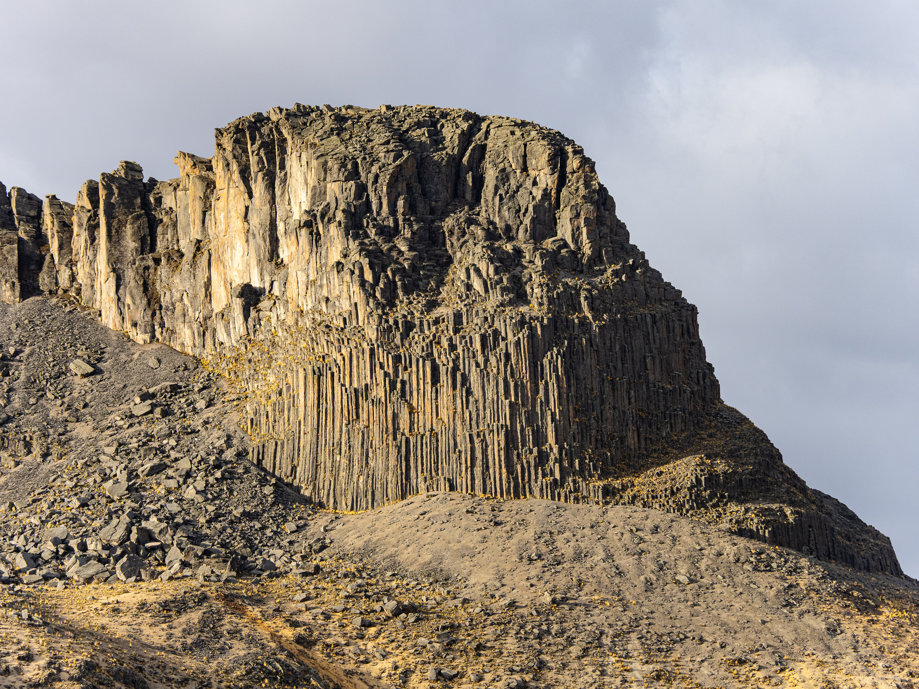
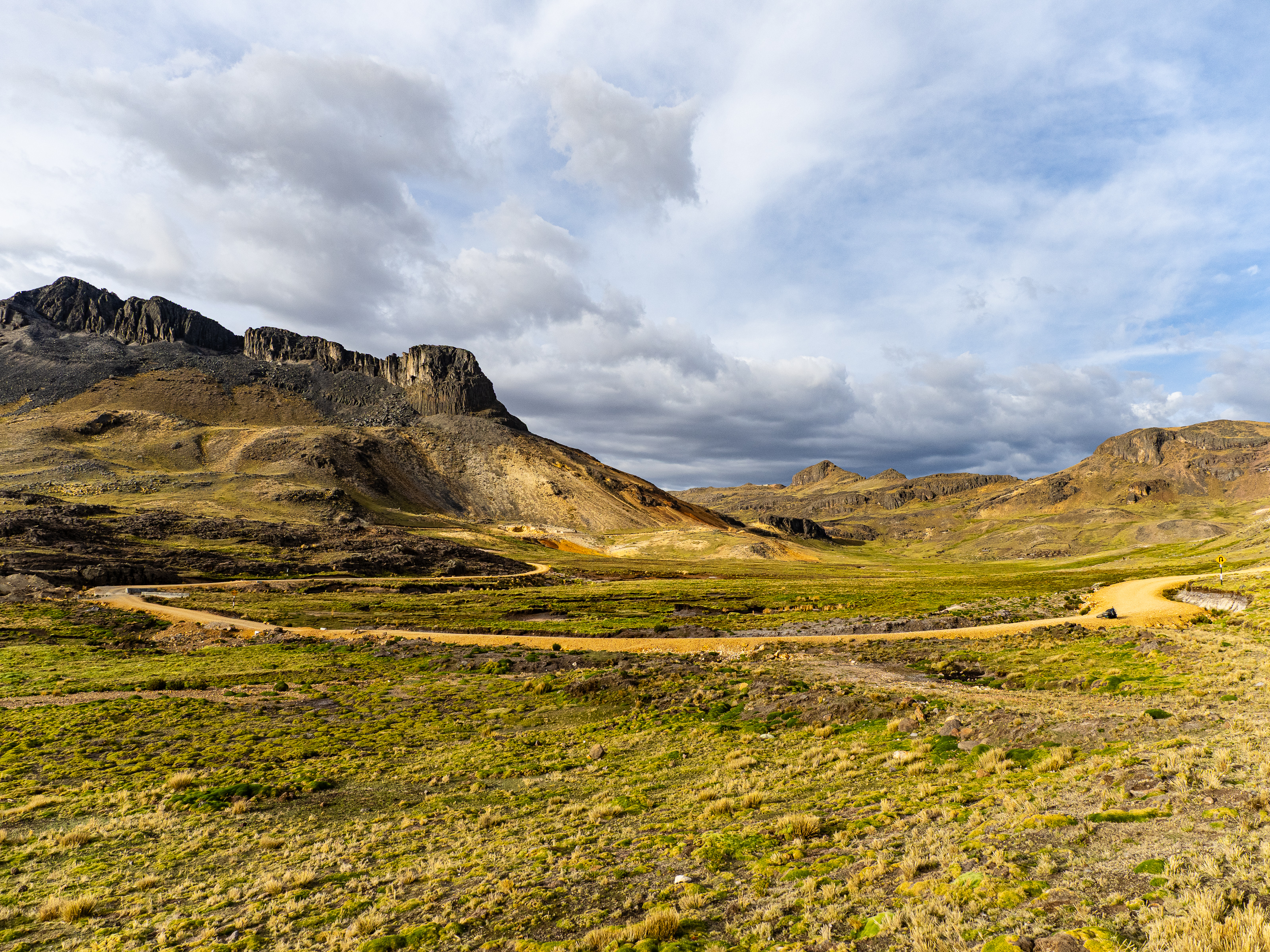
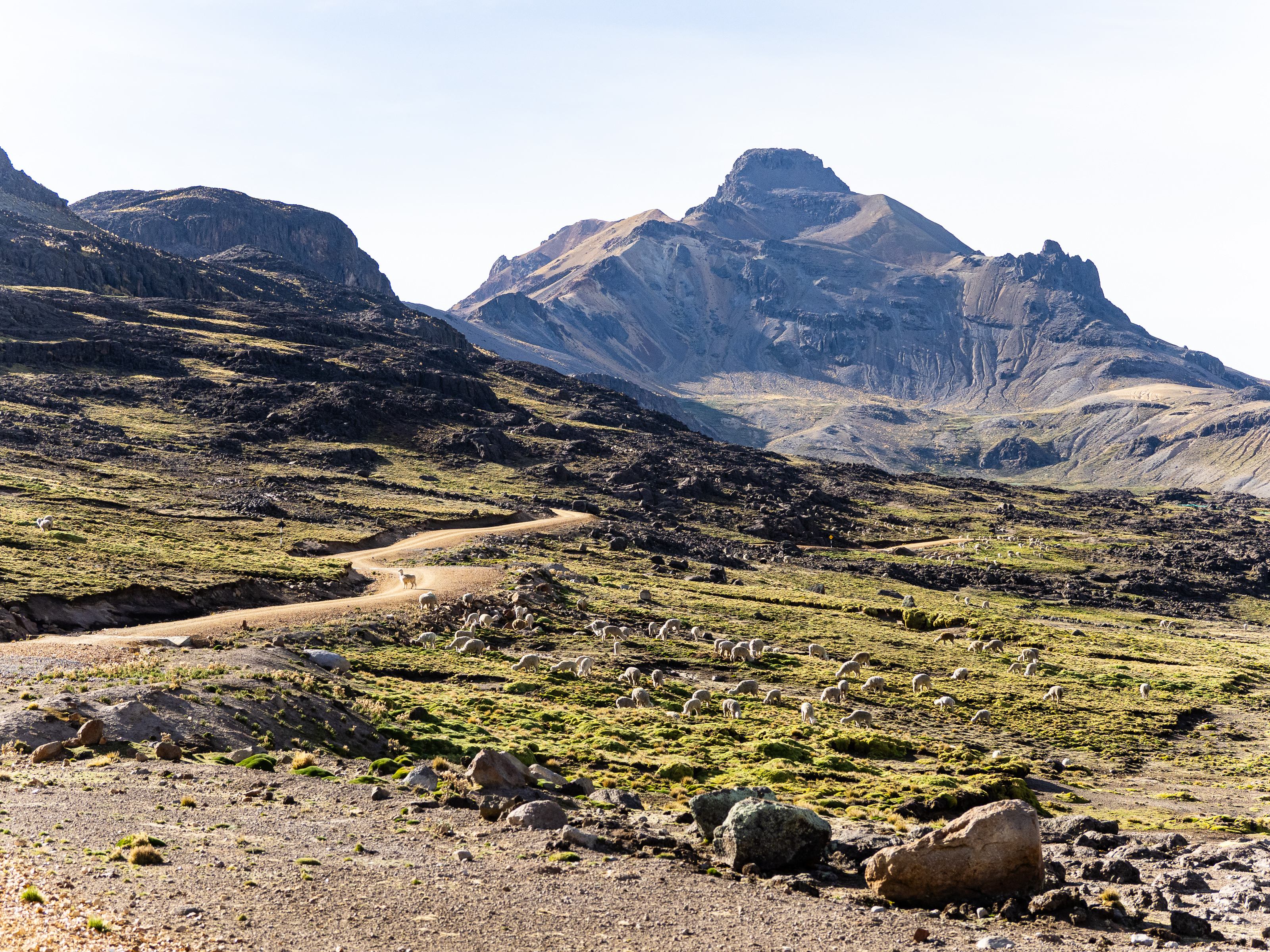
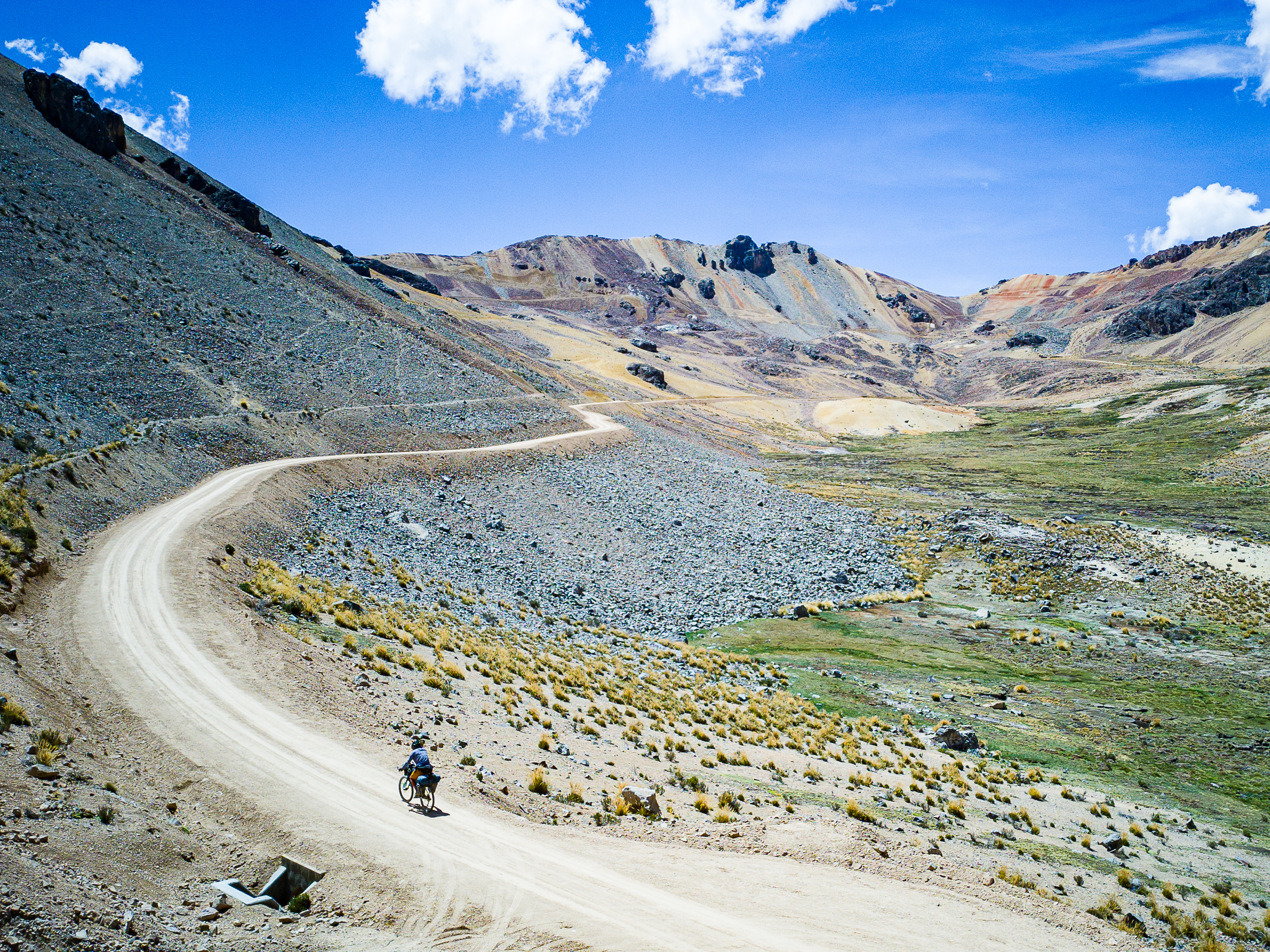
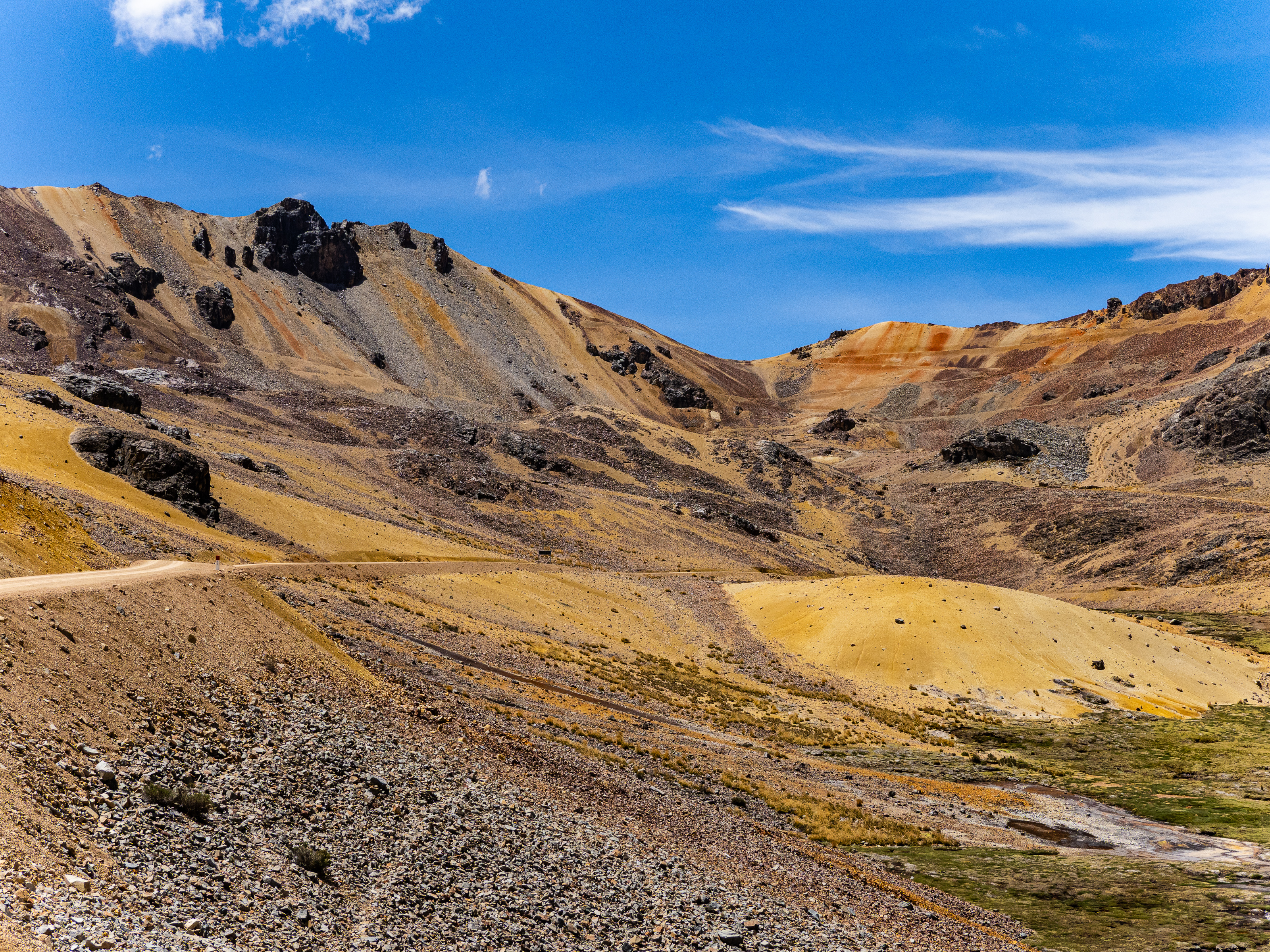
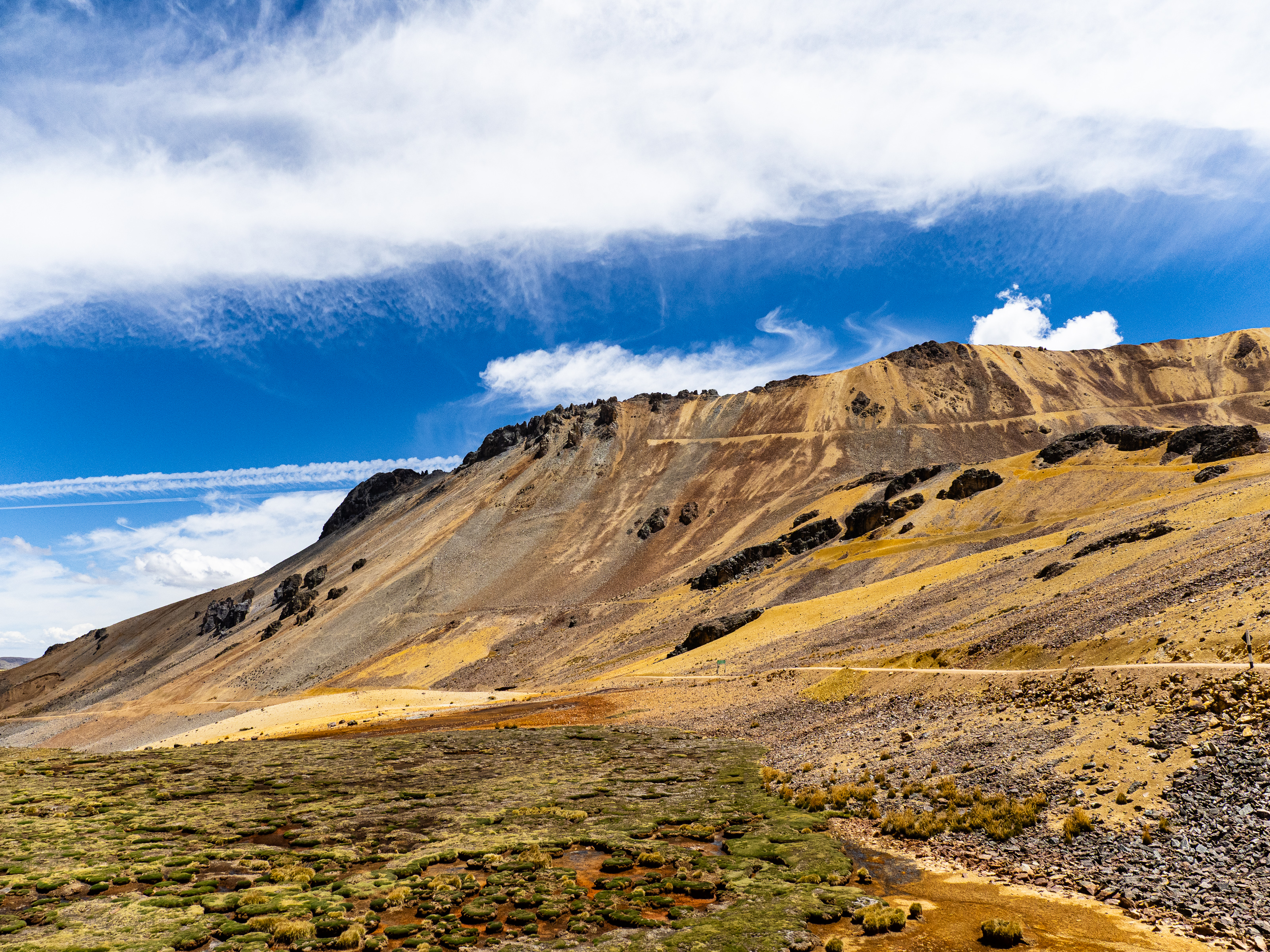
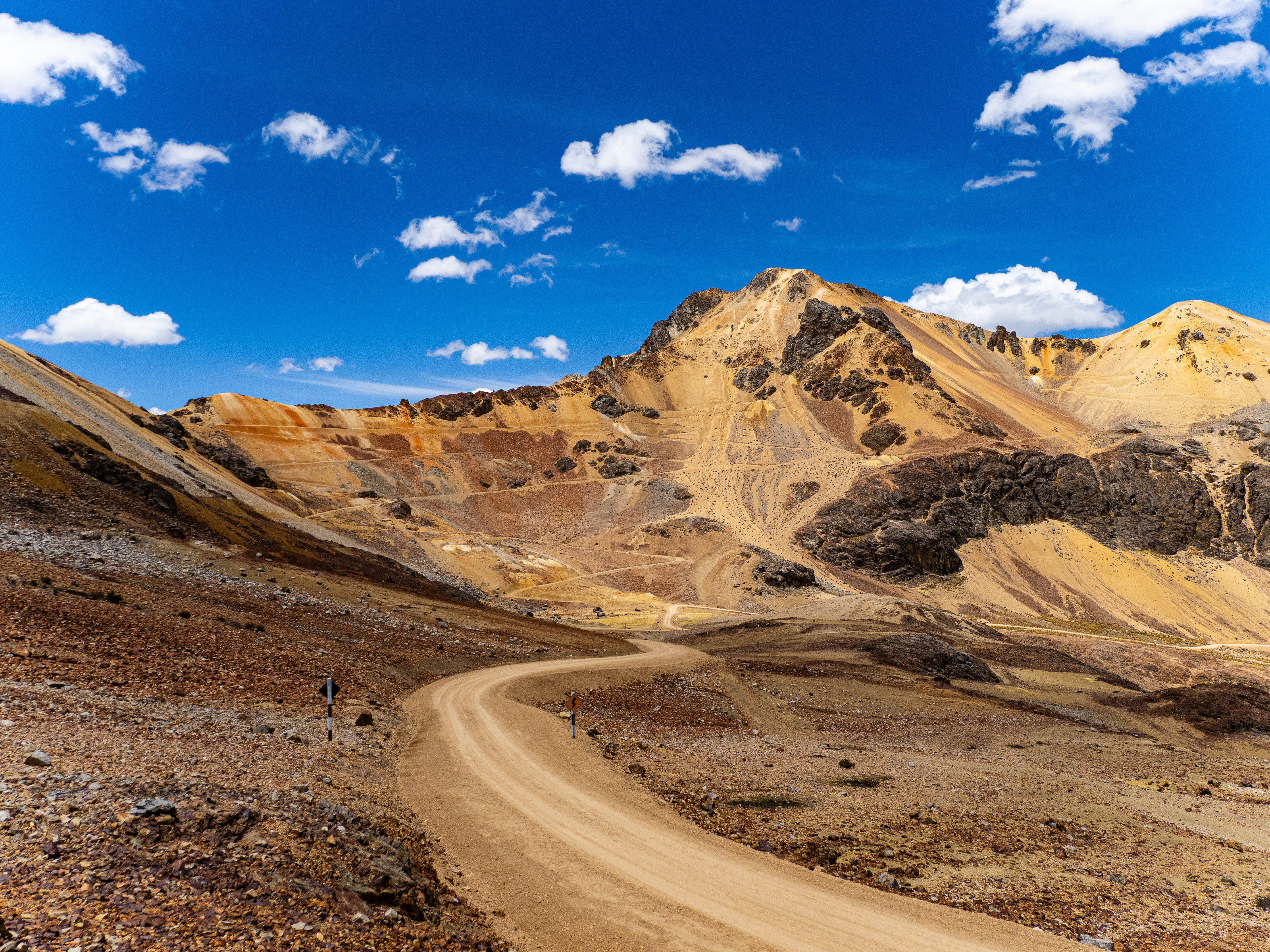
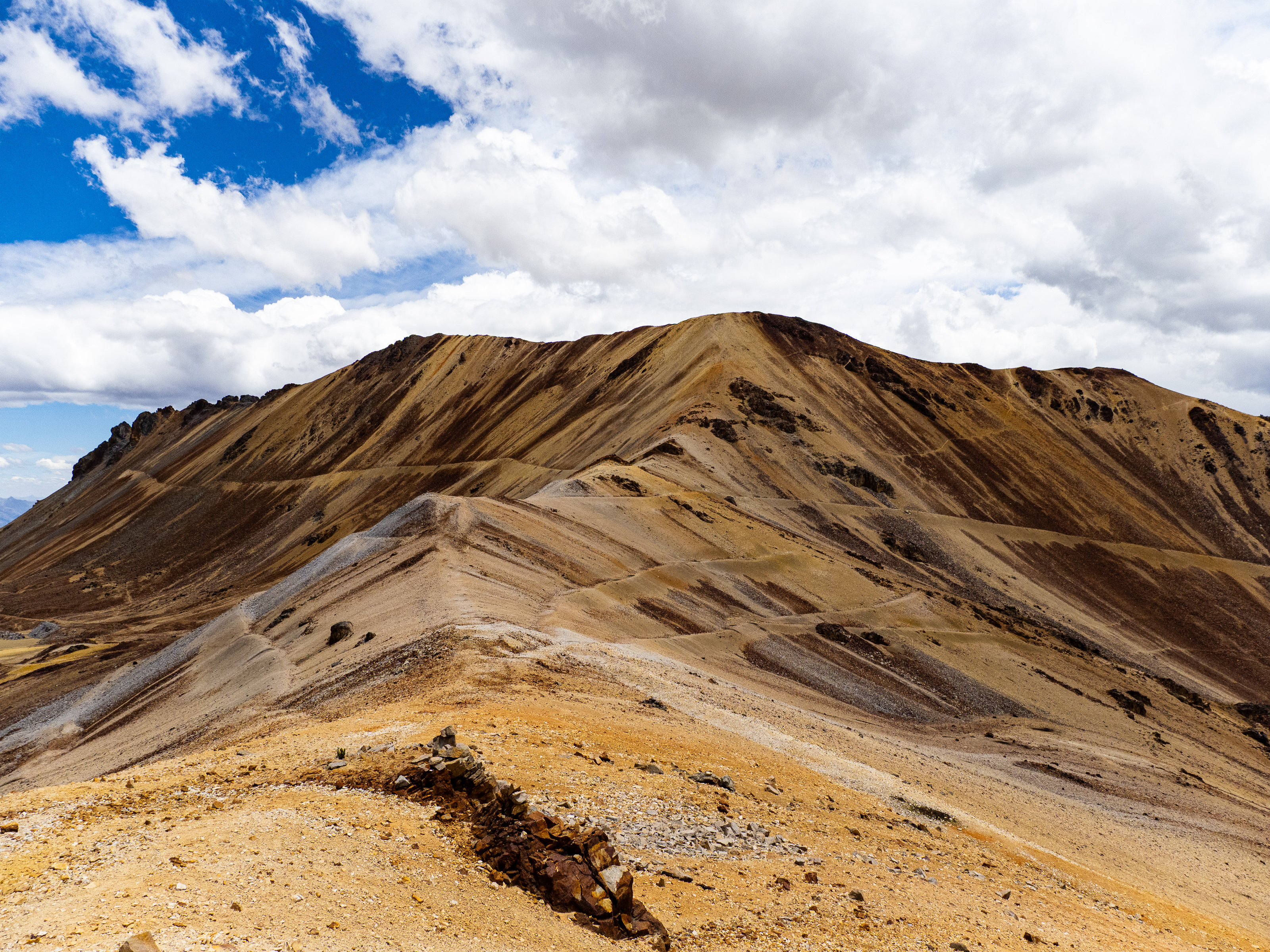
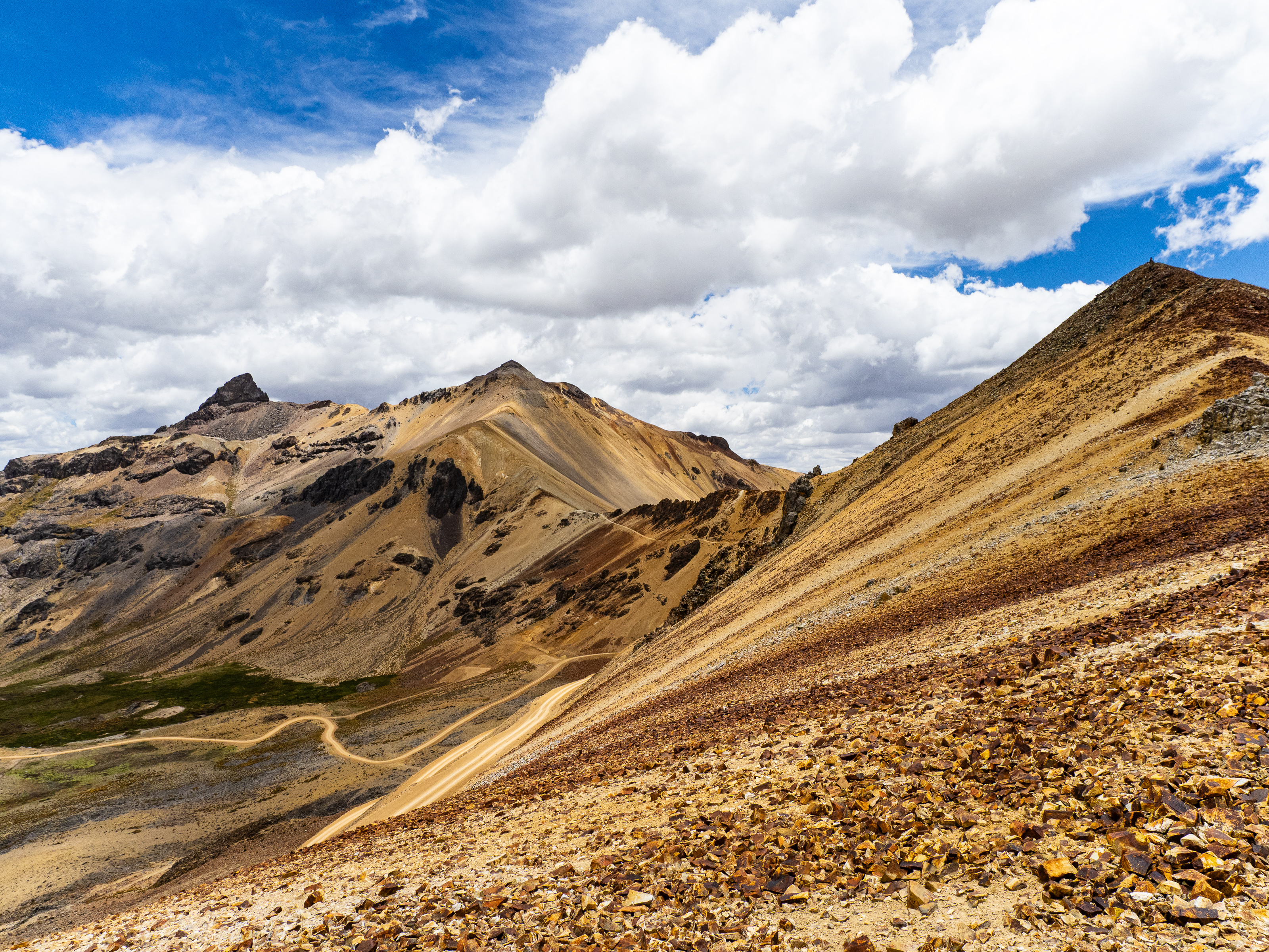
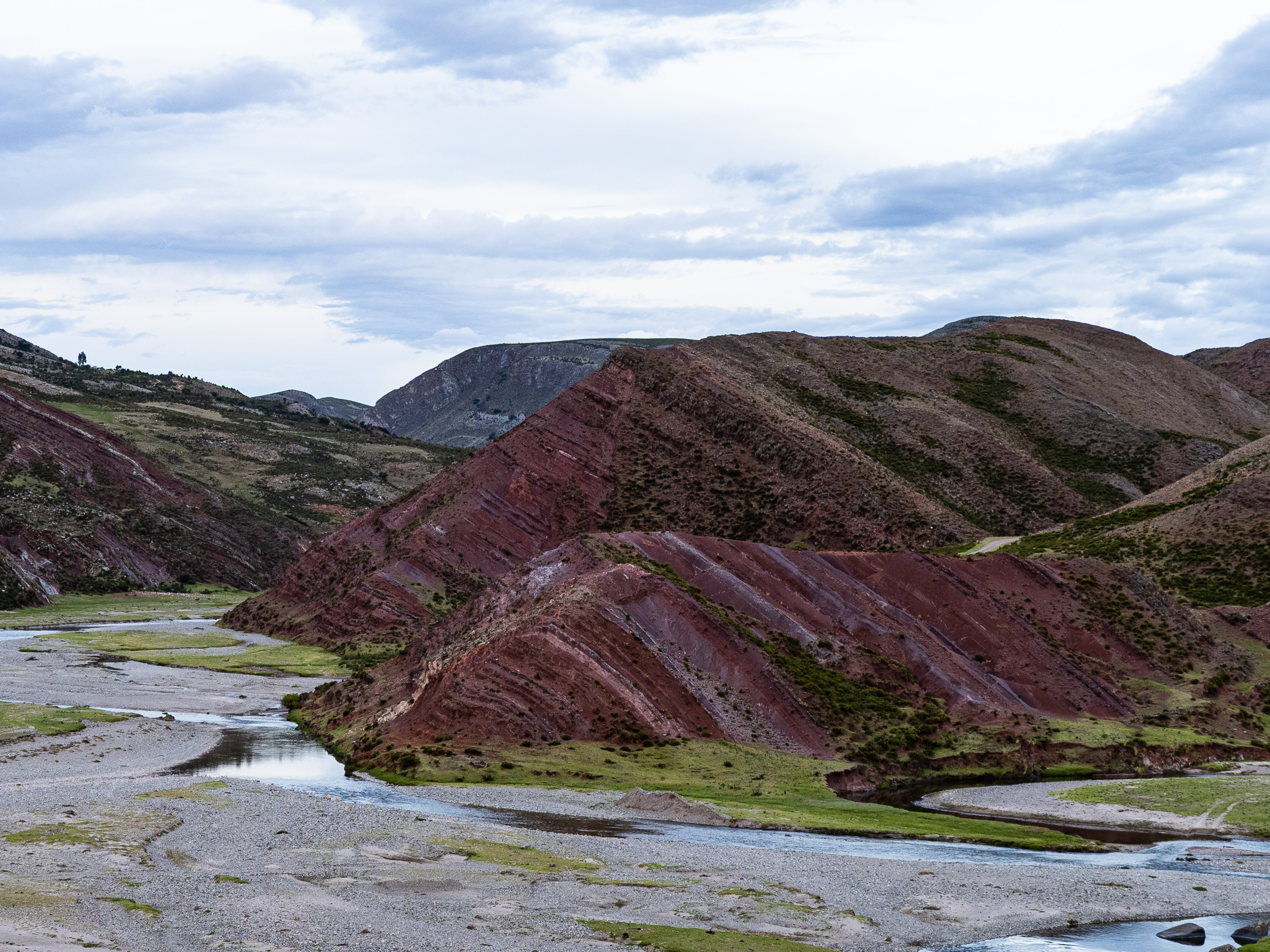
The road back to the puna was long, but the grades were always reasonable so I could easily spin myself upward. I passed by a small cluster of puya raimondii and then reached the barren alpine plateau at 4,400 m. The usual afternoon winds picked up as I made one final climb to a 4,560m pass. On the other side, I was treated to my first view of Ccarhuazo’s summit massif, its rich veins of burnt copper and golden brown glowing in the late-afternoon light.
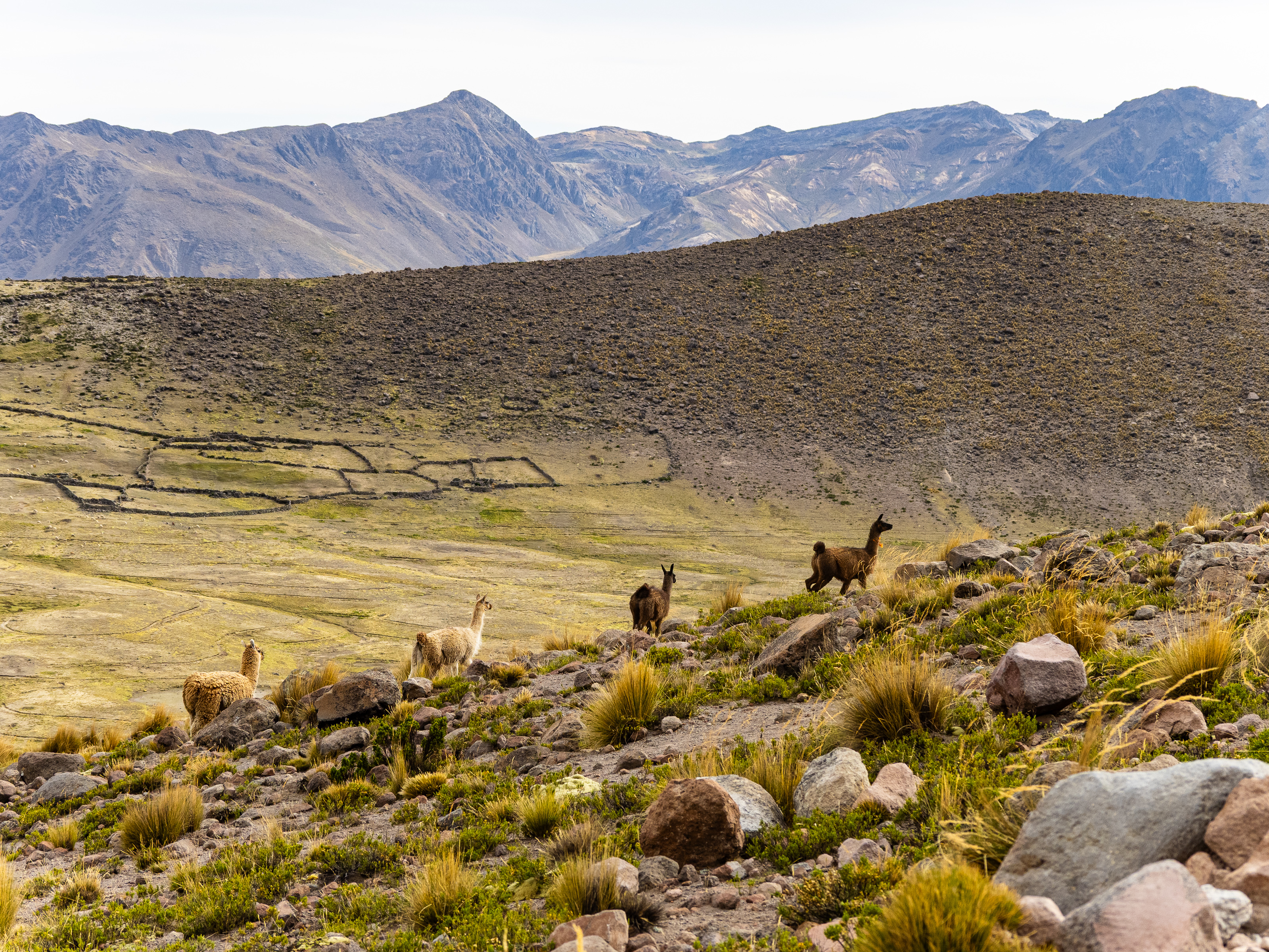
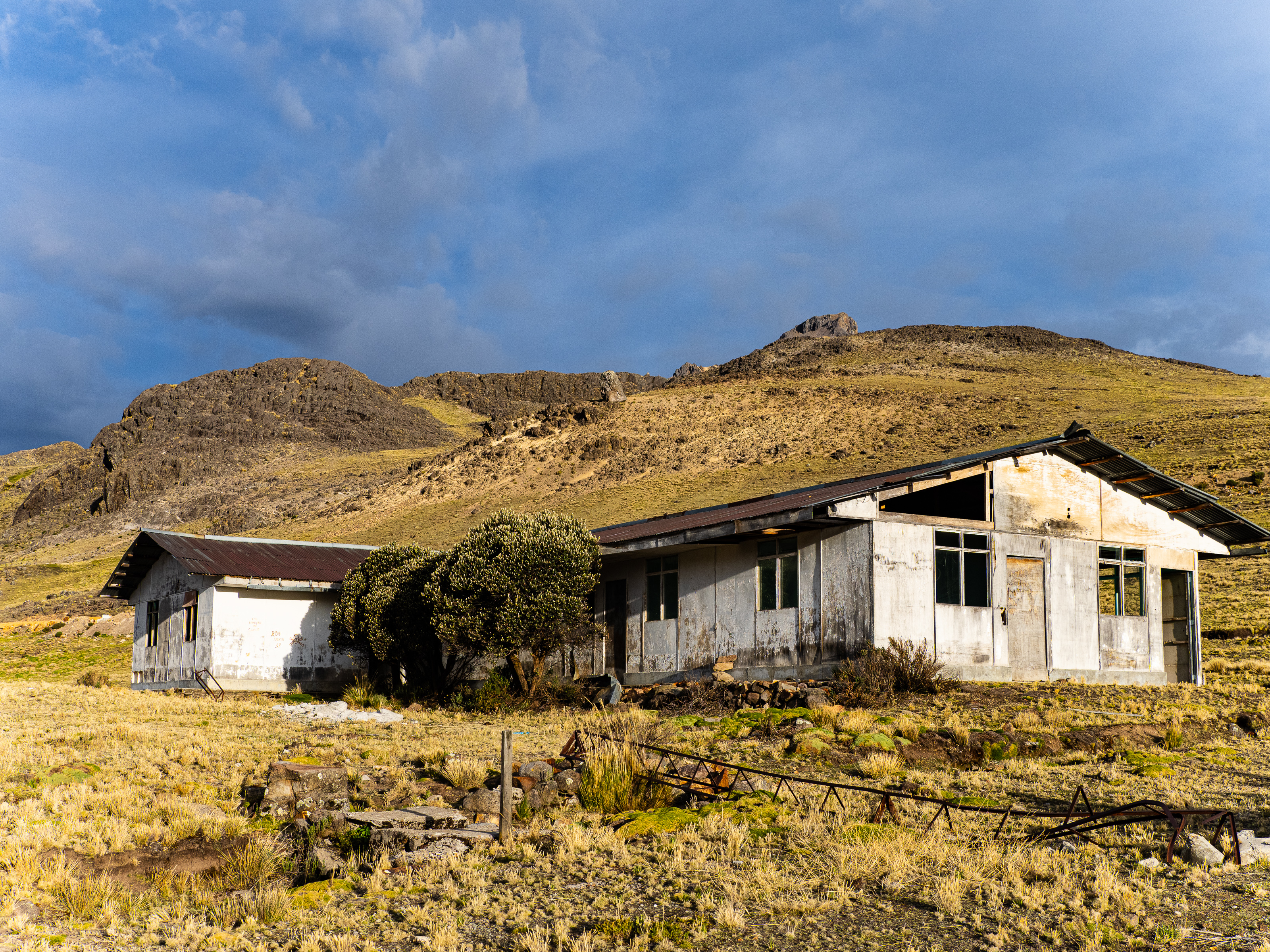
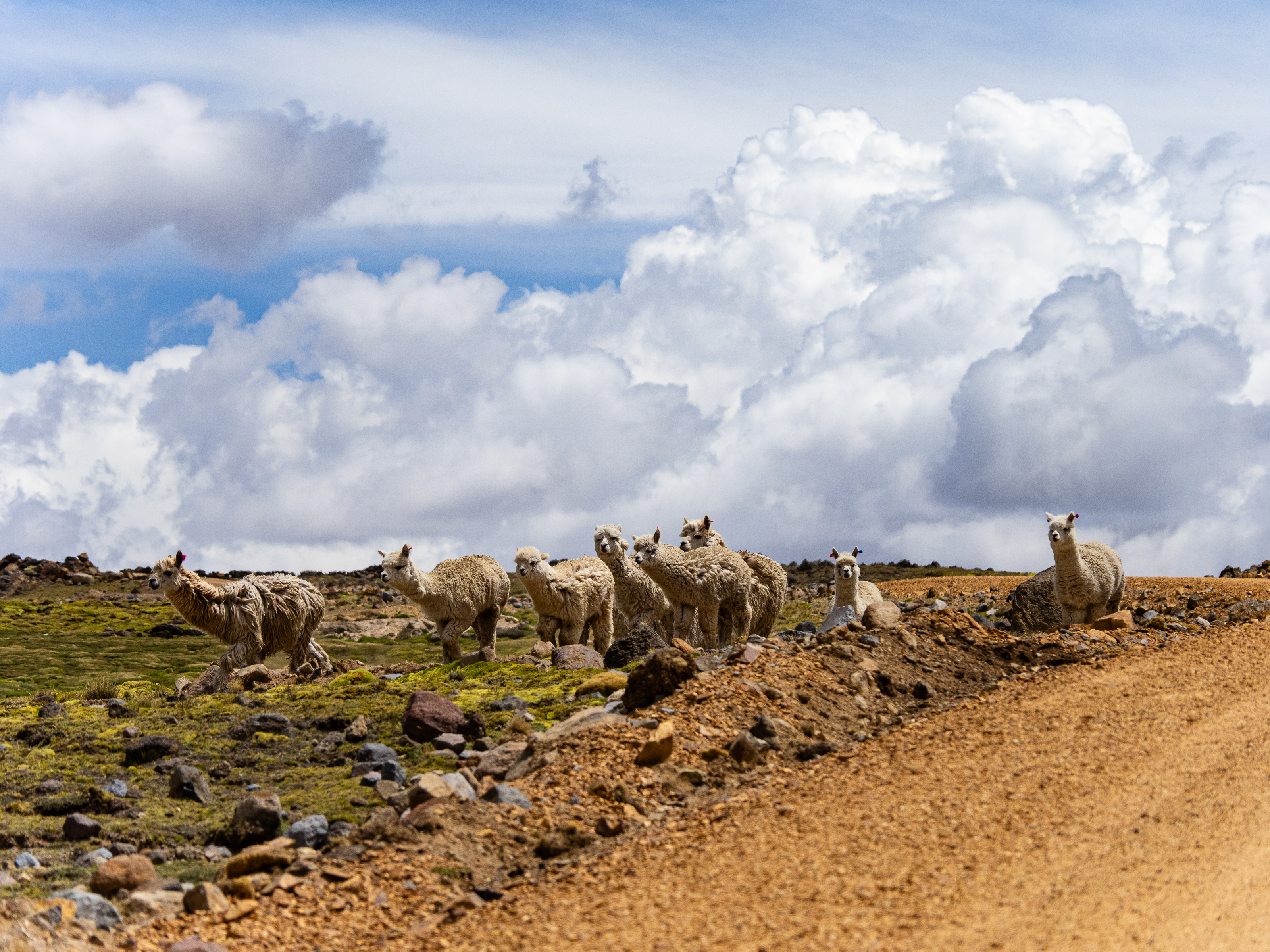
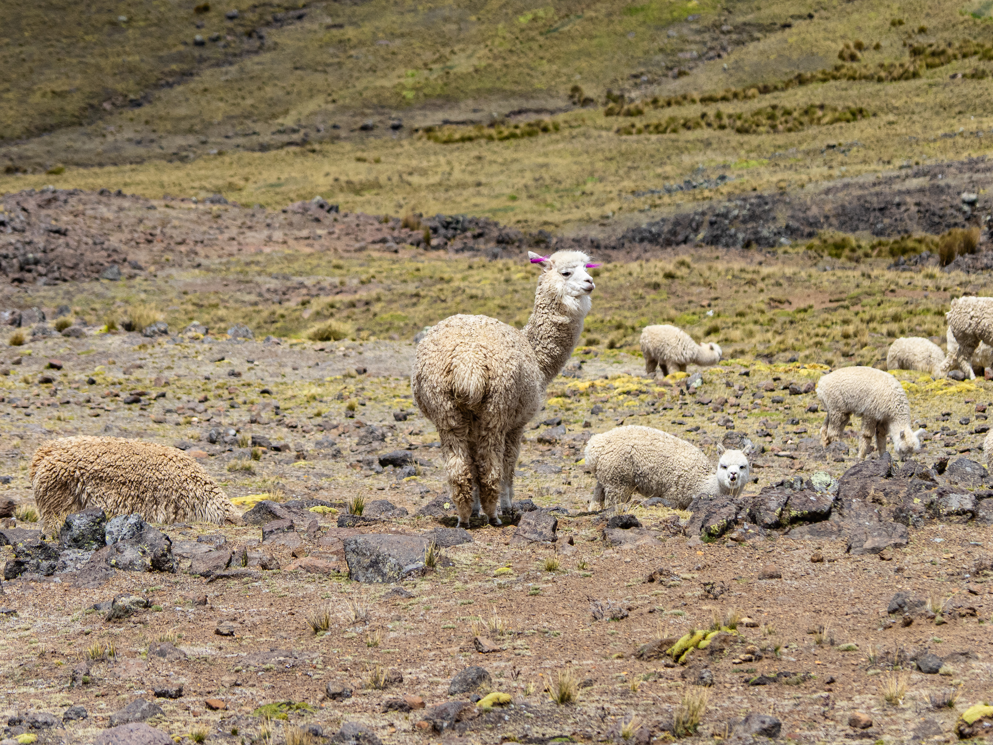
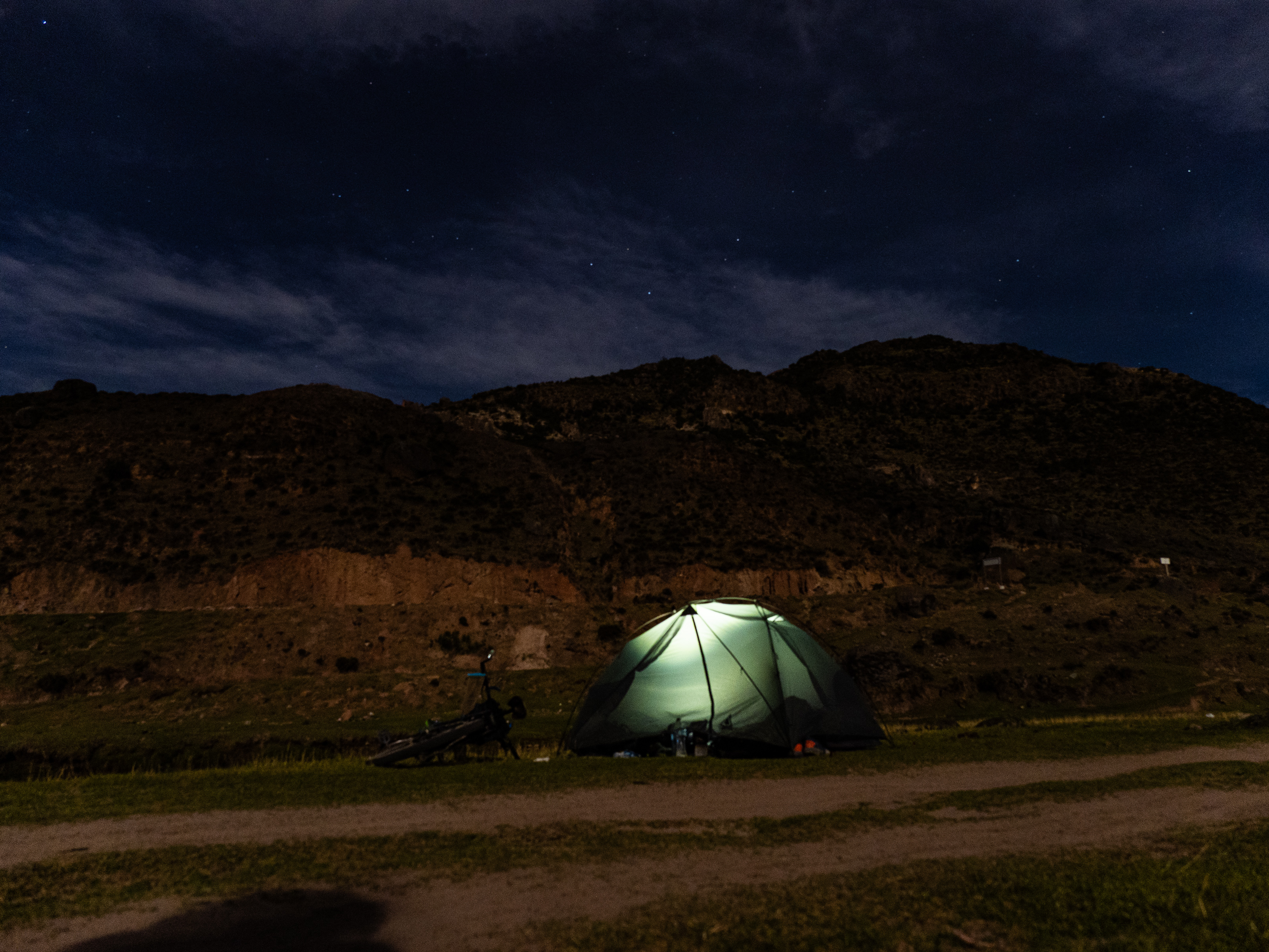
I pedaled past herds of llamas and alpacas, cresting one more rise before descending into a remote valley called Virgen de las Nieves (our Lady of the Snow). Two remote homesteads marked either end of the valley. In between was an abandoned building, which I made my home for the night despite the metal roof rattling in the wind. I enjoyed the final glow of the sunset, then waited for the wind to die down and the rattling to stop before falling asleep. In total, I climbed nearly 1,900m that day over just under 60 km.

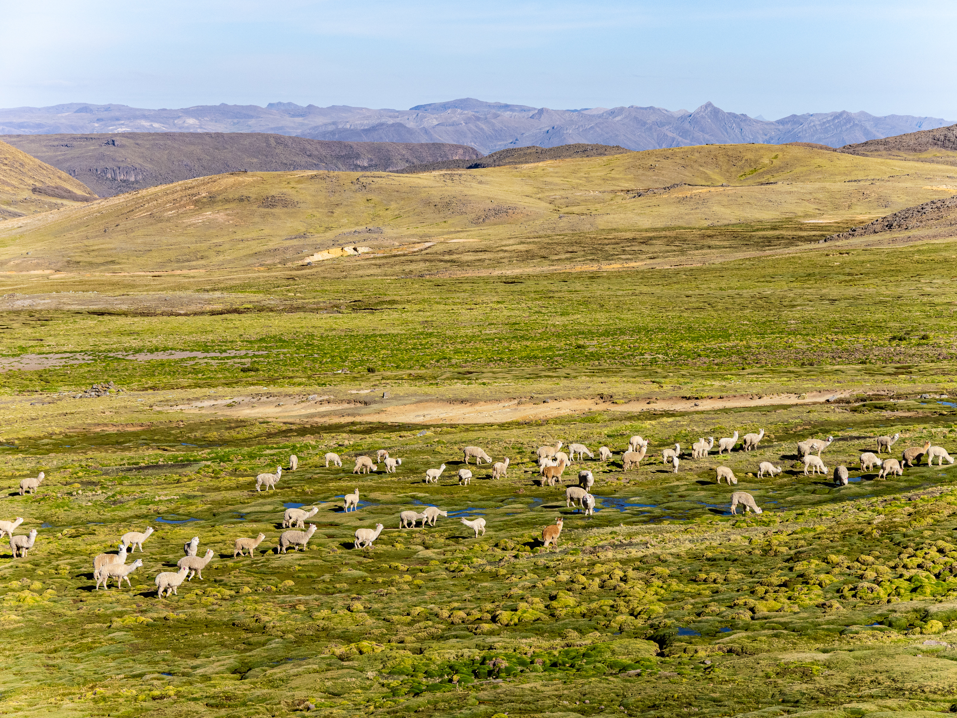
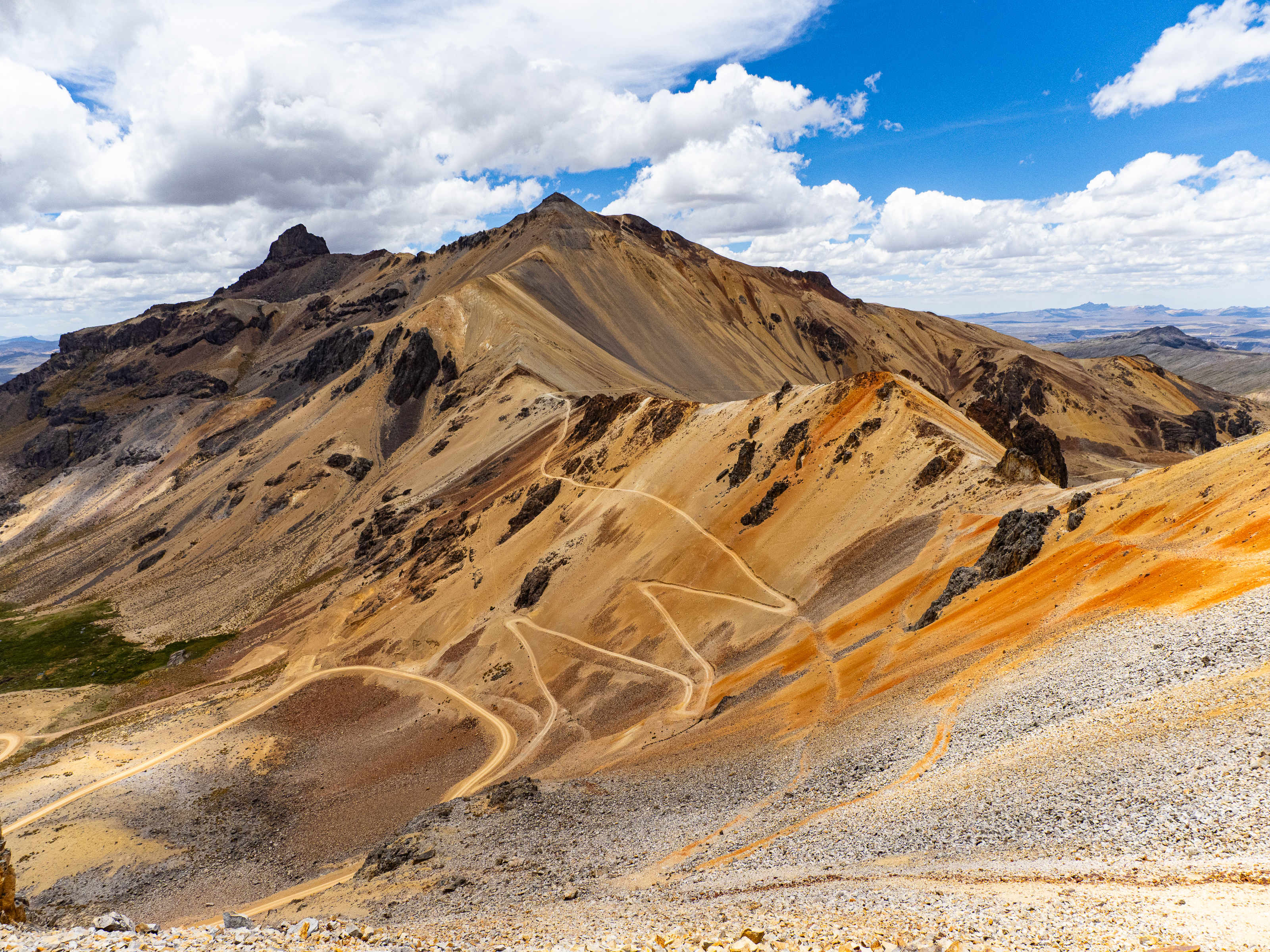
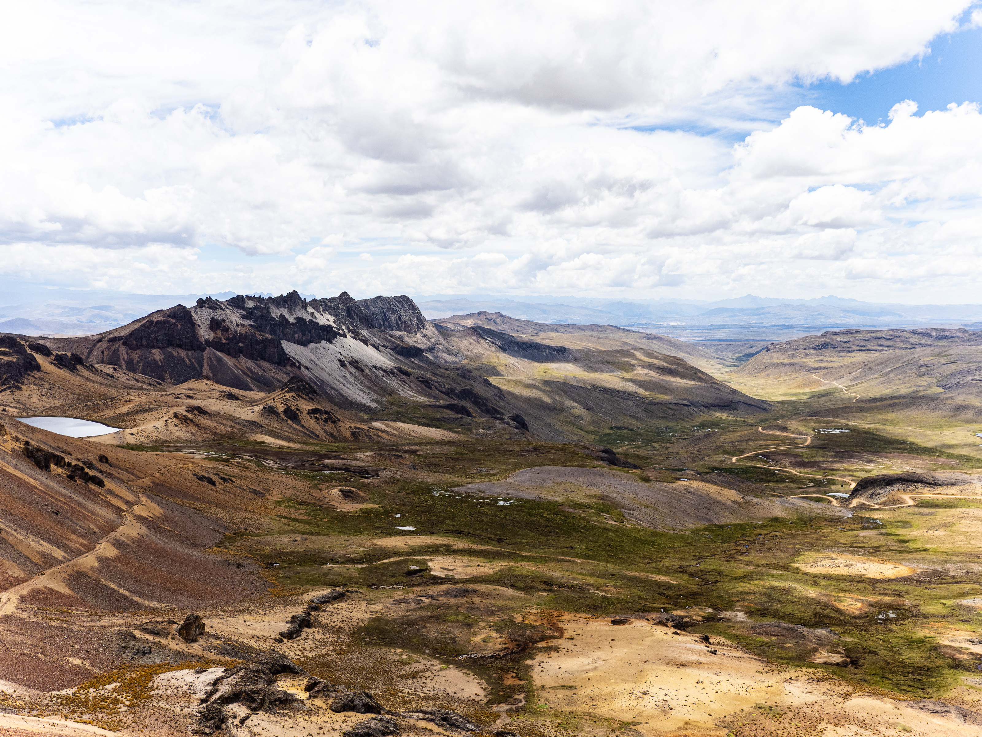
The next morning began with a short climb, then more easy pedaling past vast herds of alpacas and llamas. They looked at me curiously and scurried out of my way as I passed. I then rounded the northernmost ridge of Ccarhuazo and began my approach to the 4,880m high pass. This would be one of my favorite stretches of riding every.
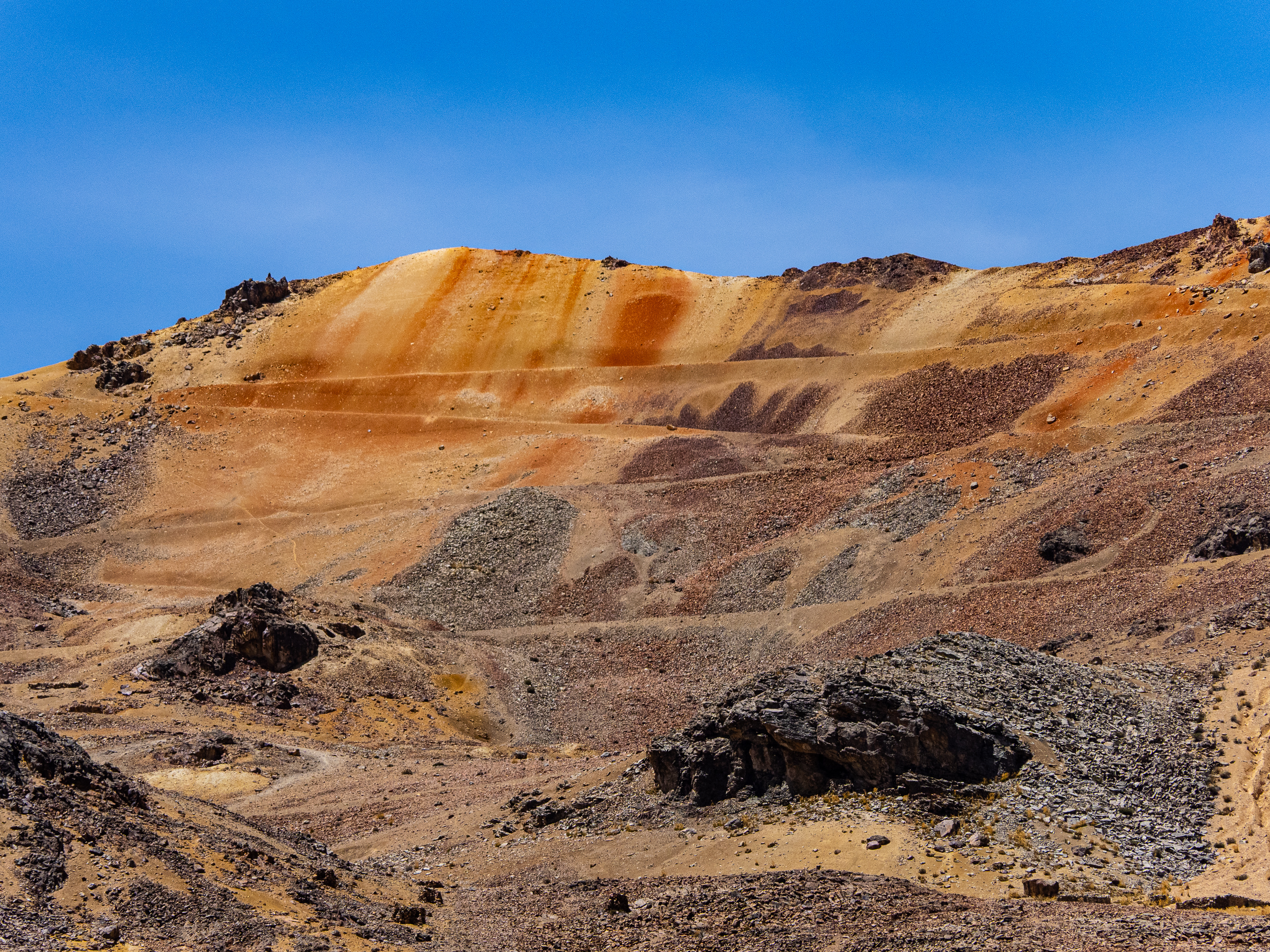
Almost everyone who’s traveled in Peru has heard Vinicunca, or the Rainbow Mountain. The mountain has become one of the country’s biggest tourist draws thanks to its remarkable striped flanks. It’s also a victim of over-tourism, with over a thousand people making the journey to see it every day. Ccarhuarazo is similar, and I had it all to myself.
It’s hard to describe the beauty I enjoyed that day. The locals consider the mountain sacred and fought hard to protect it from mining – it’s not hard to understand why they hold it in such regard.
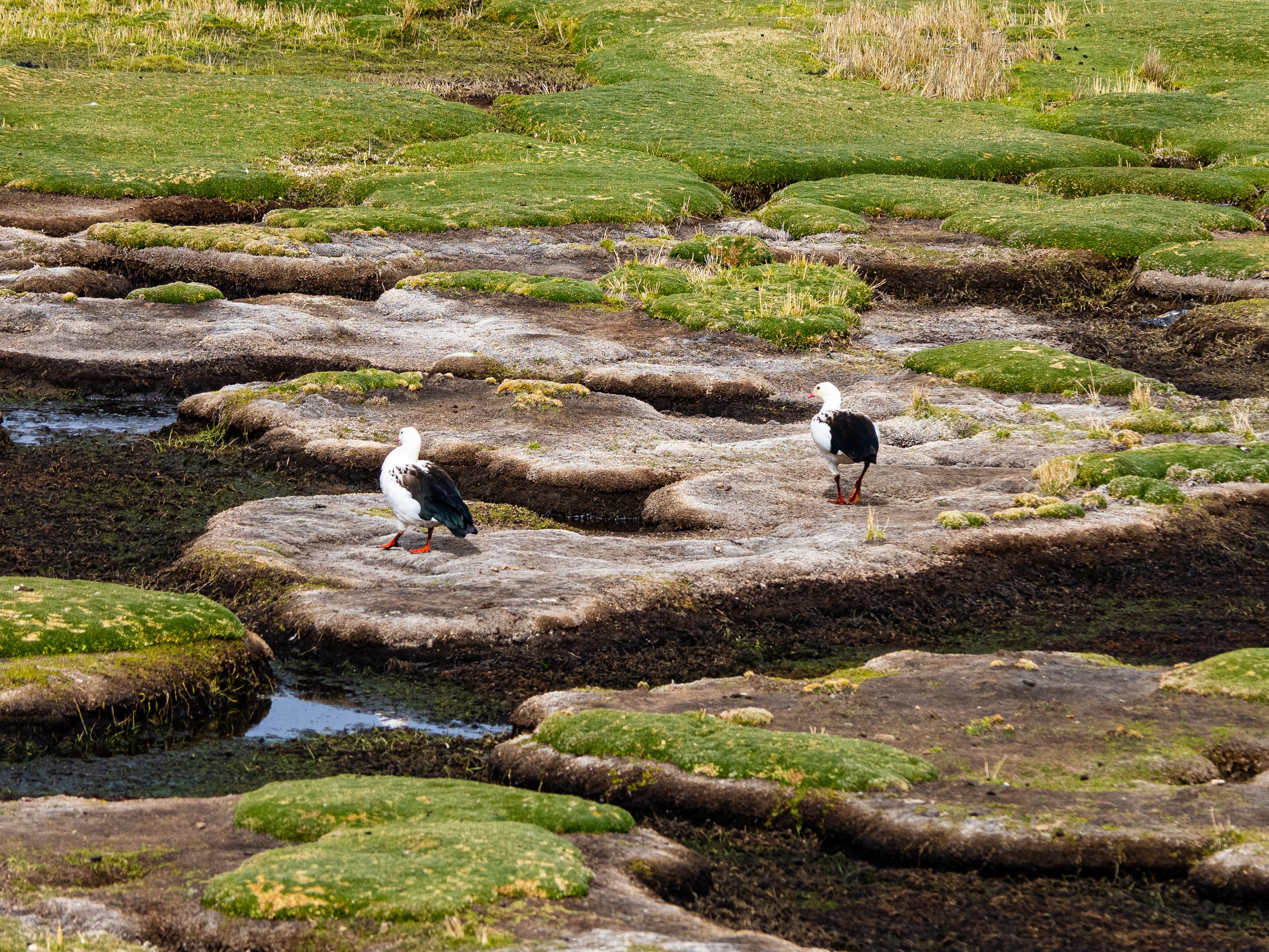
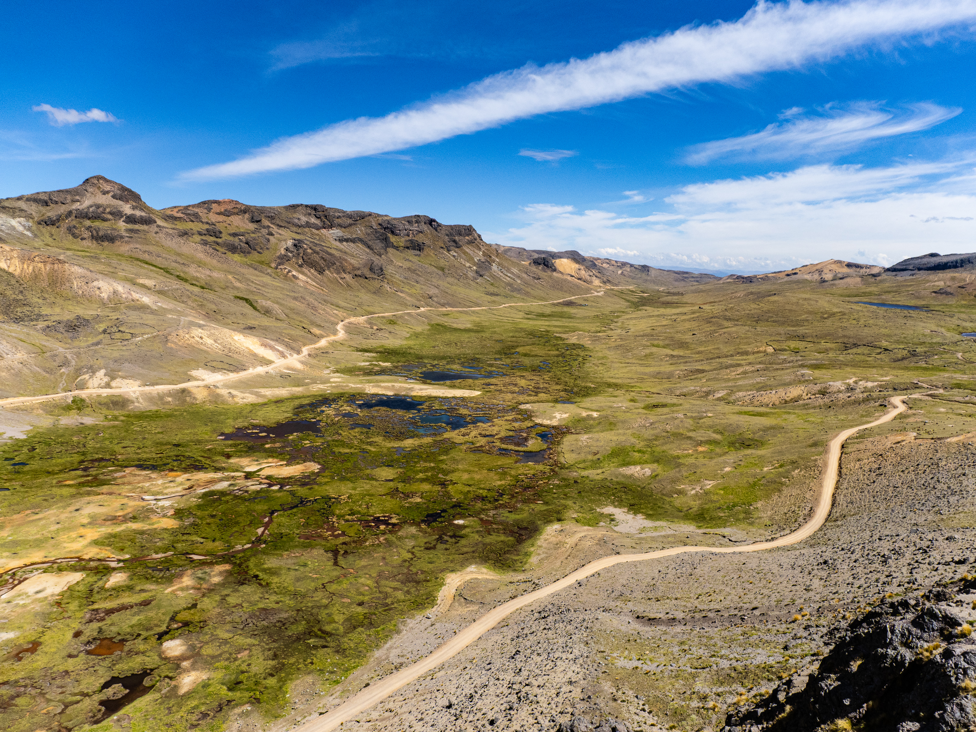
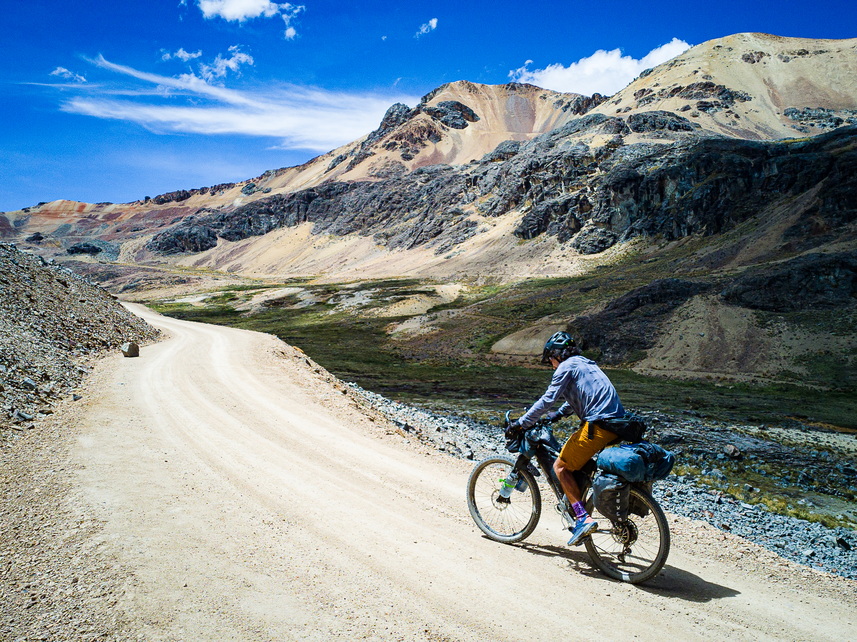
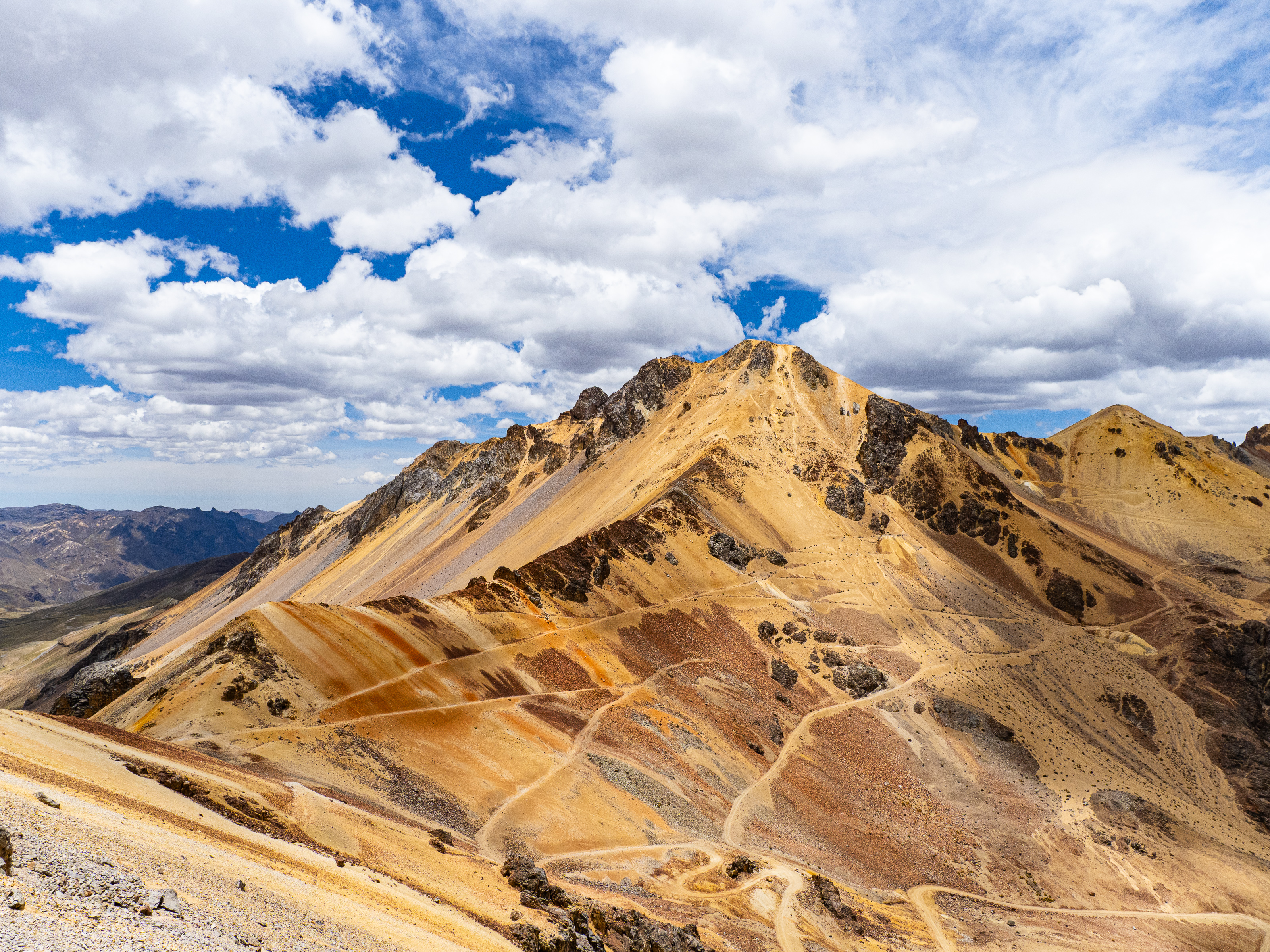
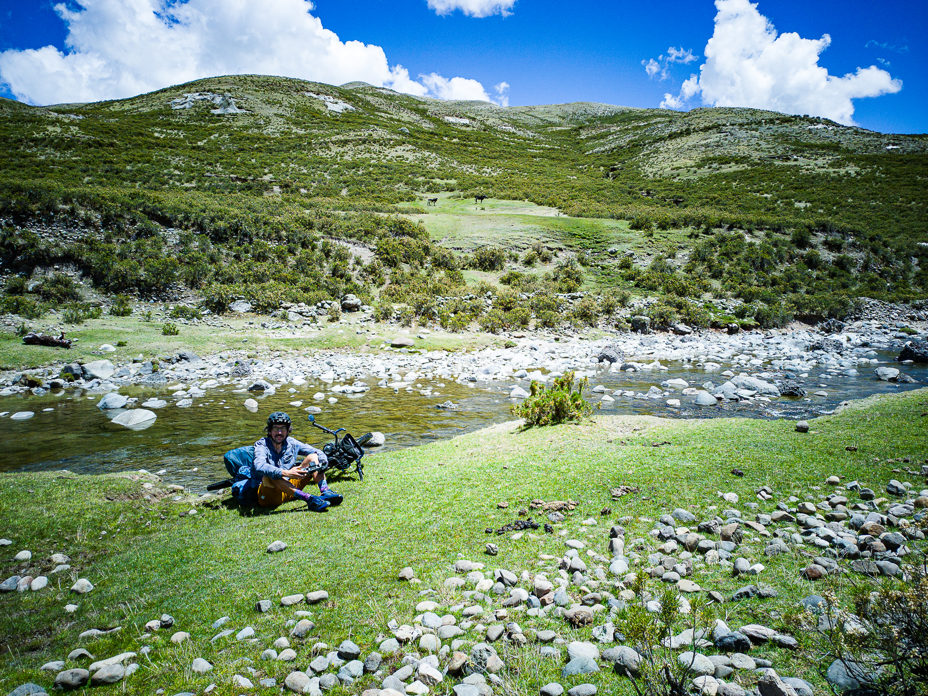
Heading south, I slowly approached the mountain’s massif. Grassy meadows gave away to multicolored scree slopes around the summit. I enjoyed a display of red, orange, yellow, brown, and tan striations, interspersed with dark rocky outcrops. It isn’t as colourful as Vinicunca, but the solitude more than made up for that. I saw a vicuna scamper through the wetlands and enjoyed the birds flying around.
At the summit, I paused. On my first trip to Peru, I had the good fortune to spend a few days riding with the wonderful Iohan Gueorguiev. His incredible videos were an inspiration and it was an unexpected treat to join him for a few days. Sadly, a few years later, his epic journey through the Americas was interrupted by Covid. Back in Canada, he struggled to adapt to a more sedentary lifestyle. Equally troubling, he suffered from sleep apnea. His mental health problems, exacerbated by insomnia, led to him die by suicide on Aug. 19, 2021.
A year later, I attended a memorial ride for Iohan. It was a wonderful occasion and I was grateful to learn more about this person I knew mostly from videos. At the ride, I was given a small baggie with some of his ashes. I promised to spread them somewhere special. To be honest, I missed a few opportunities. I meant to bring them to Colorado in 2023, but left them behind. The next summer, I did a trip to the Nemaiah Valley, where Iohan had ridden years earlier. Camping at Chilko Lake, it would have been a perfect place to spread his ashes, but again I didn’t have them with me.
Finally, I brought them with my to Peru. That’s where we rode together, so I knew it was the best spot to play tribute. And here standing at almost 4,900 m on this incredible mountain, I took his ashes out of my pack. I recorded a short tribute, struggling to hold back tears, and then let them go free in the wind. He is still an inspiration and will always be missed.
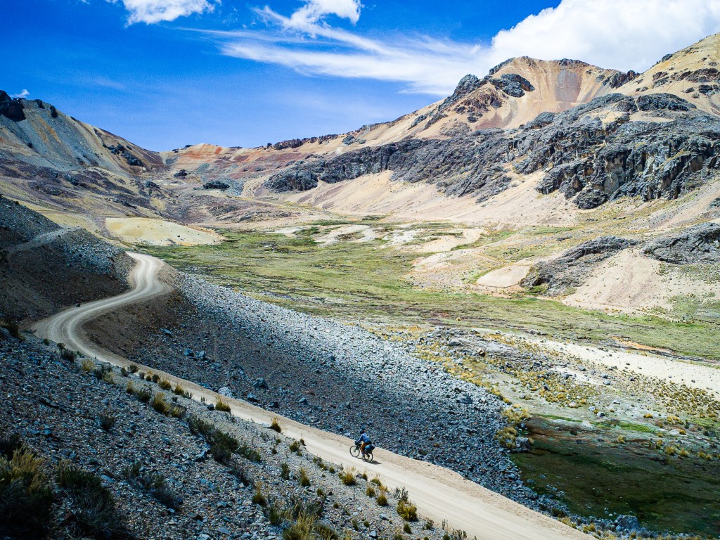
Before begging the descent, I hike a little ways up the mountain. I hoped to make it to 5,000 m, but ran out of real estate. And with another 70 km to before my hopeful destination near Pampachiri, I decided it was best to head down.
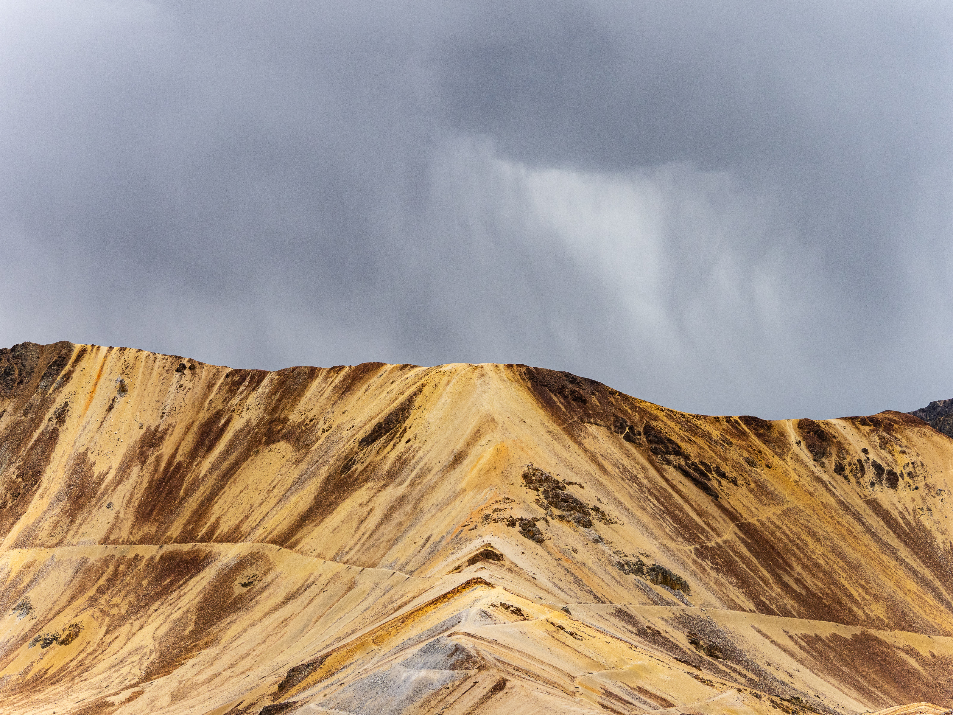
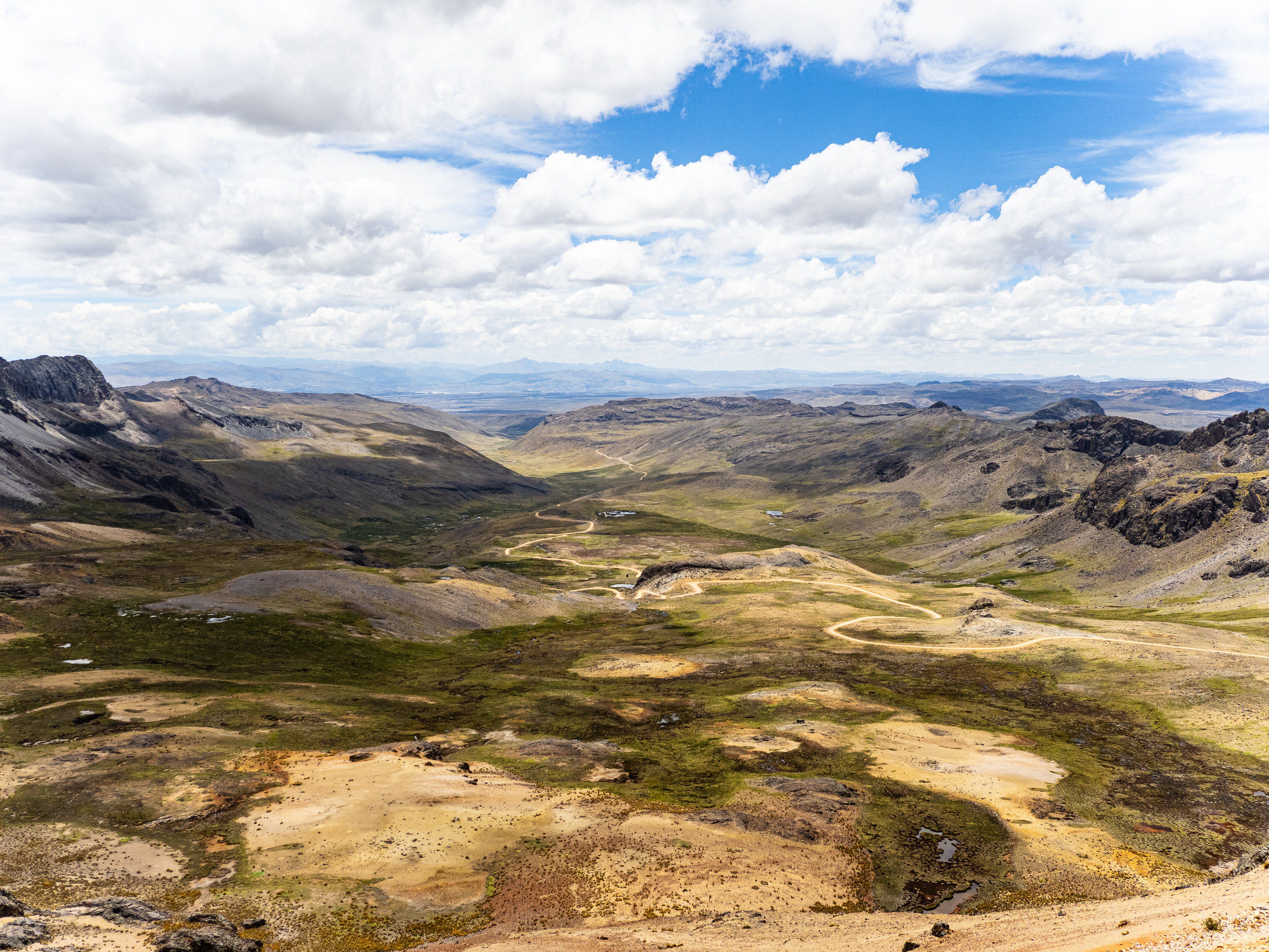
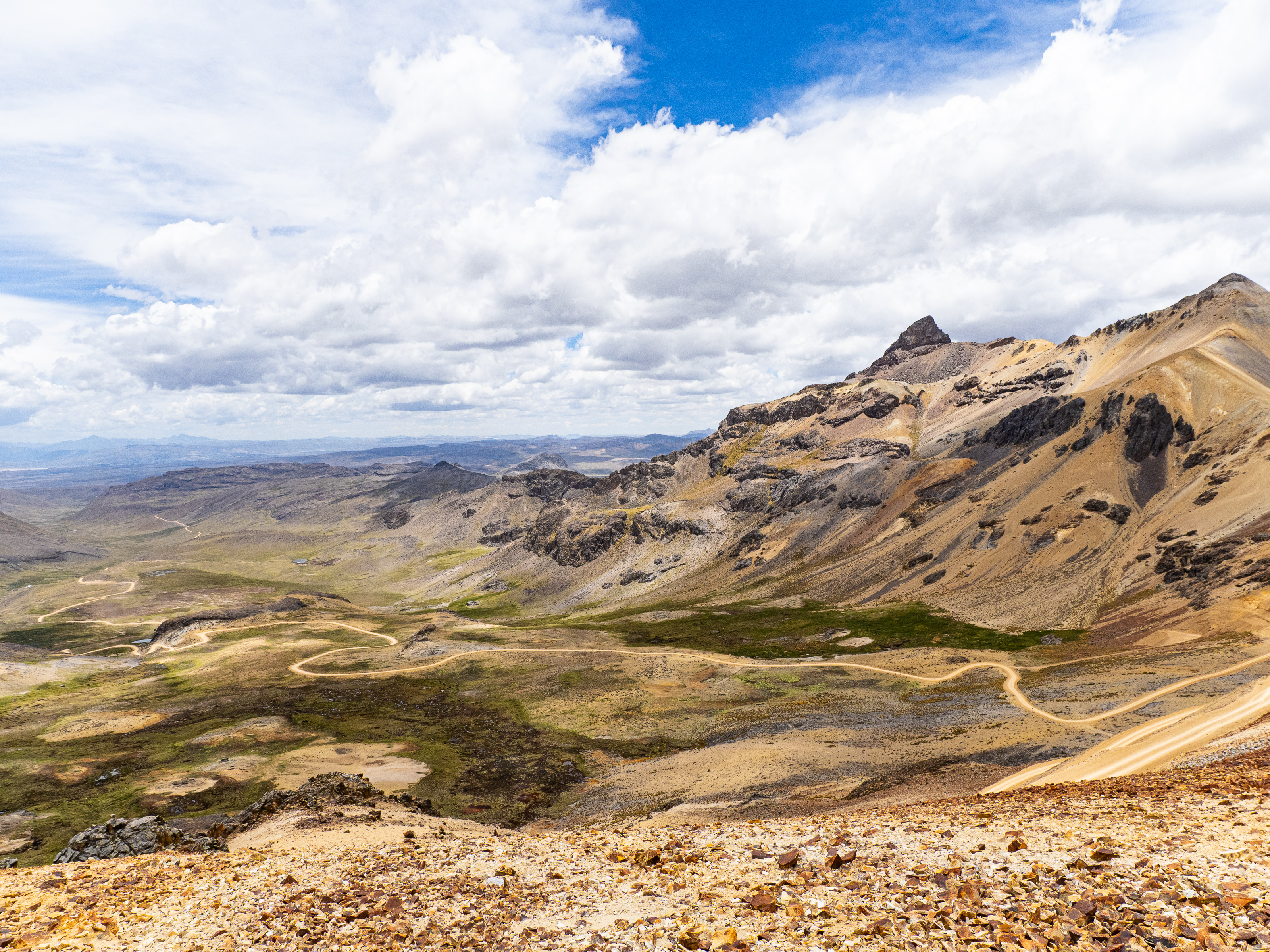
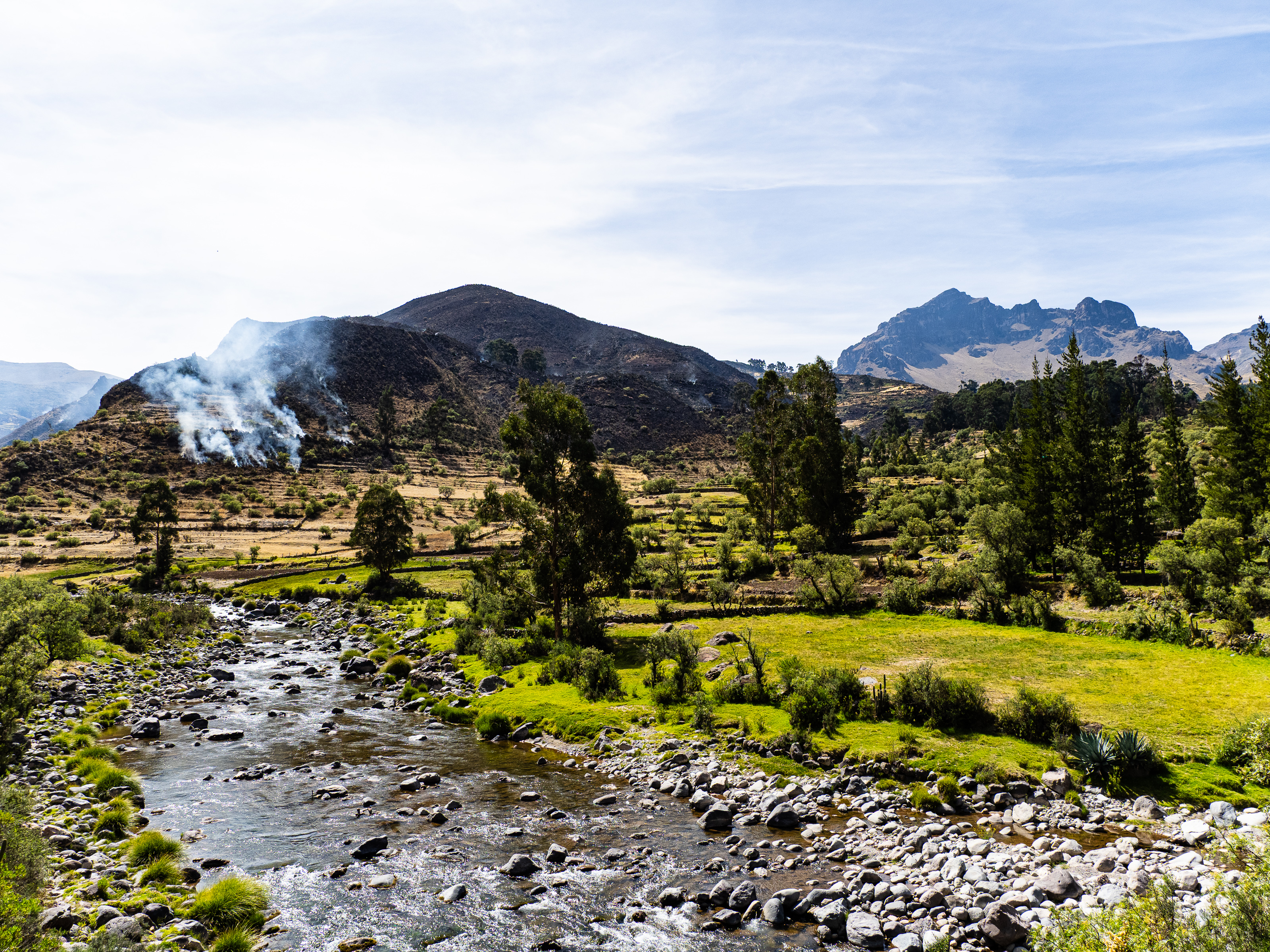
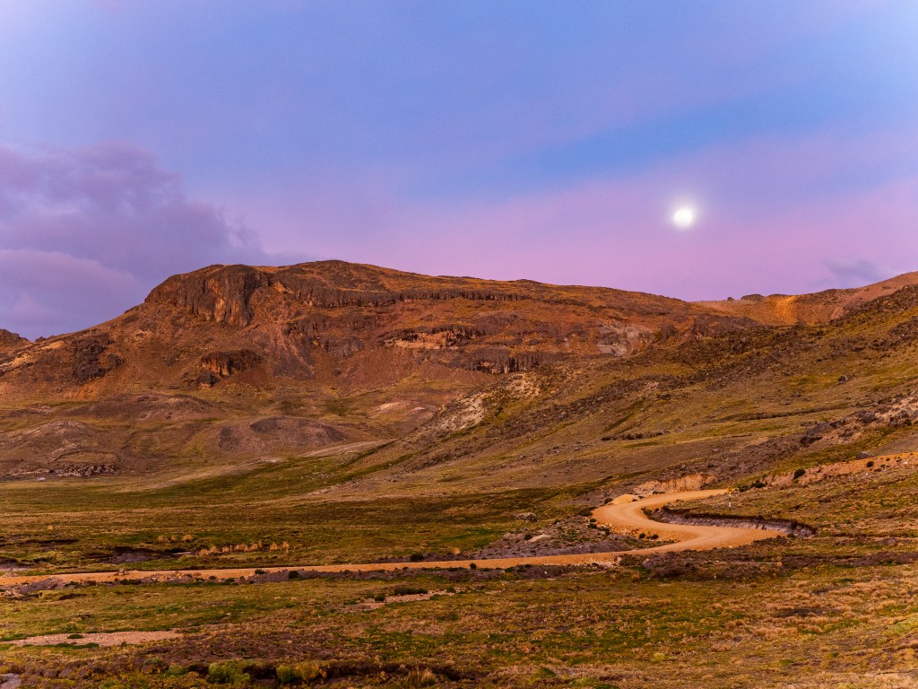
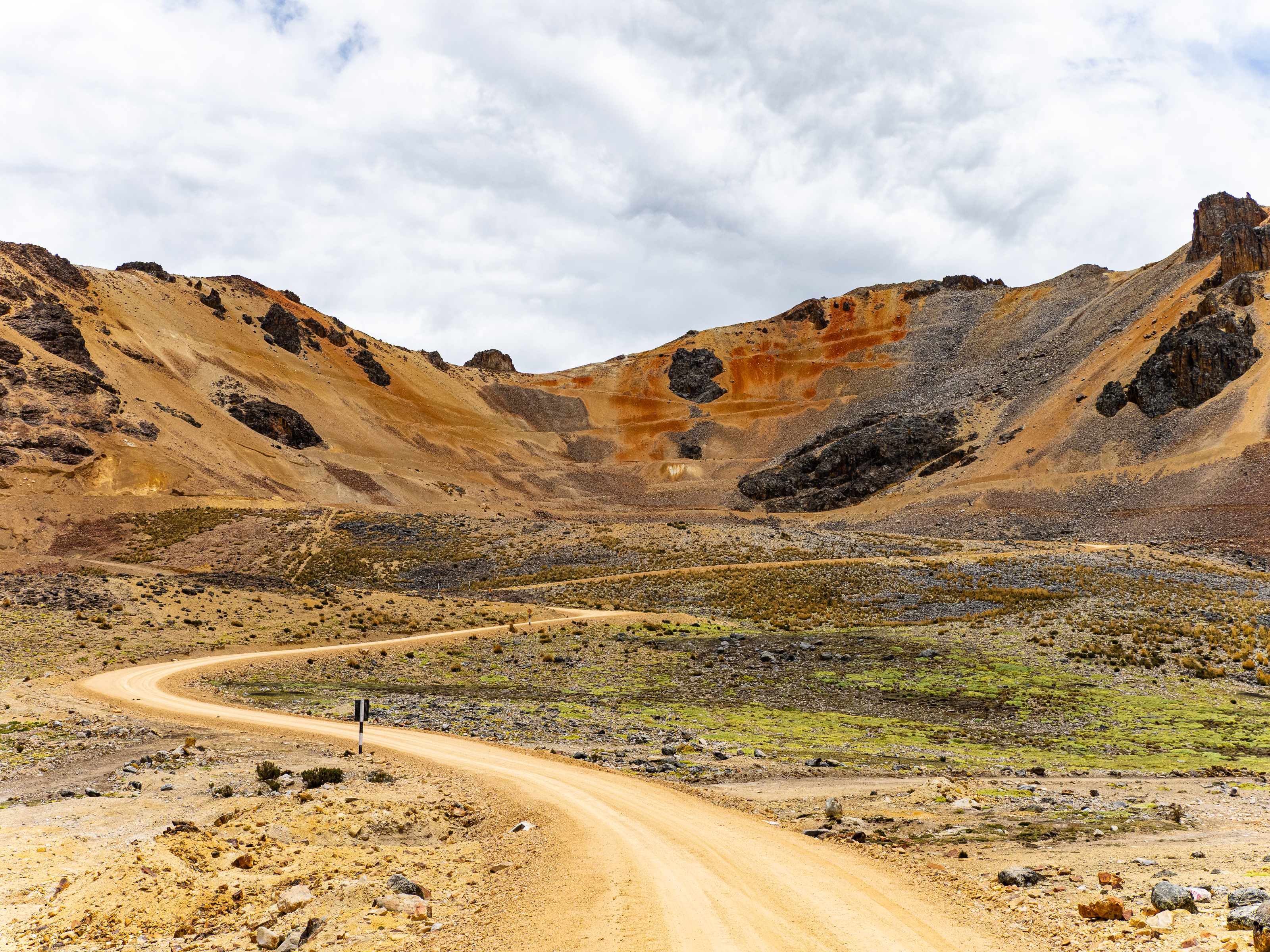
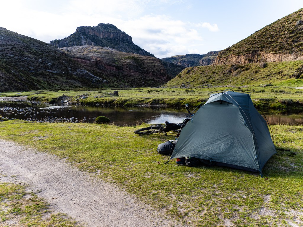
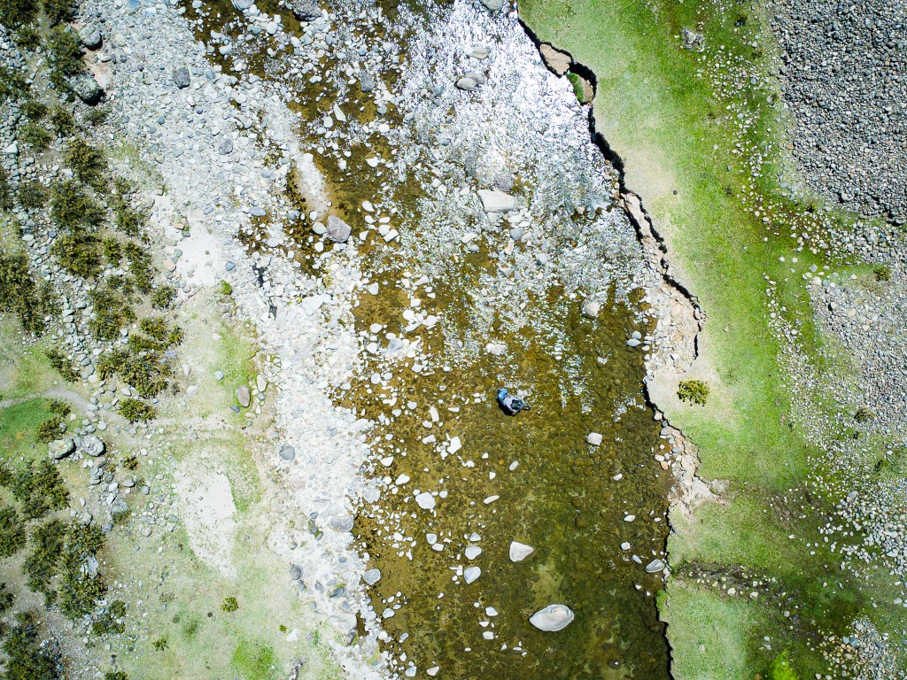
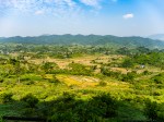
Leaving Ccarhuarazo, I descended through yet another remote valley, then made a short climb that brought me onto a gradually sloping plateau. I then had a long descent out of the heights of the puna, down to more a manageable altitude. Rain streaked the skies around me but I managed to avoid all but a few trickles. Eventually, I reached the highway and descended to the village of Chicha. A 200m climb brought me to a quiet dirt road and I descended to a pastoral river, where I found a perfect spot to set up camp just as it got dark.
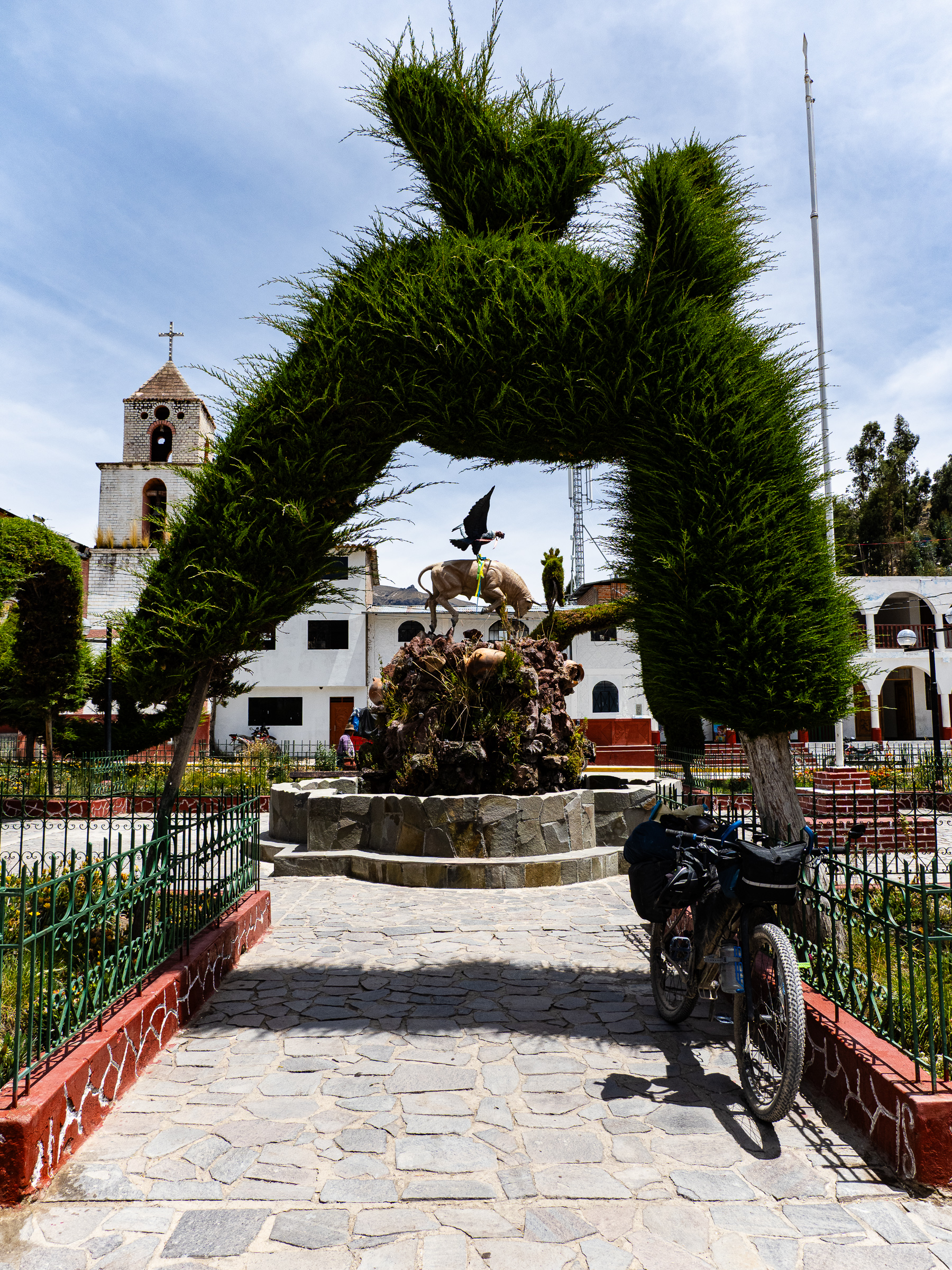
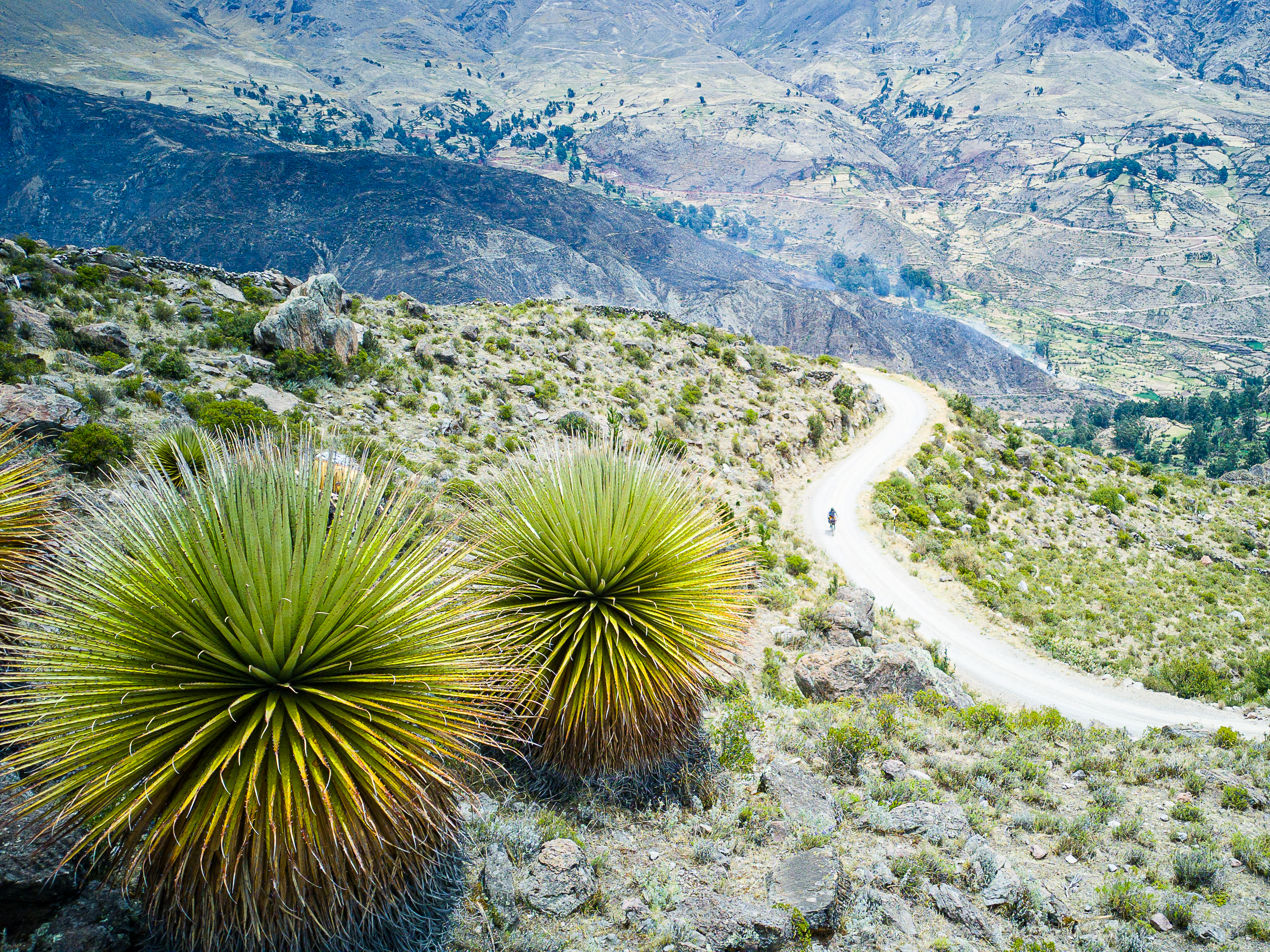
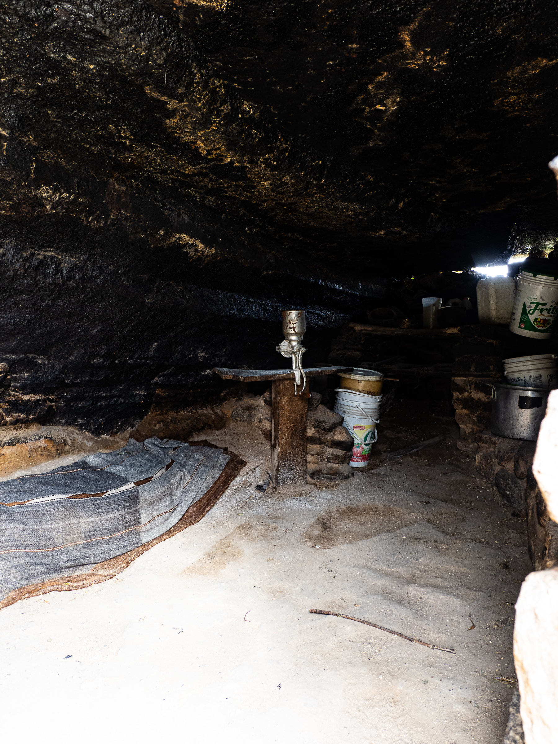
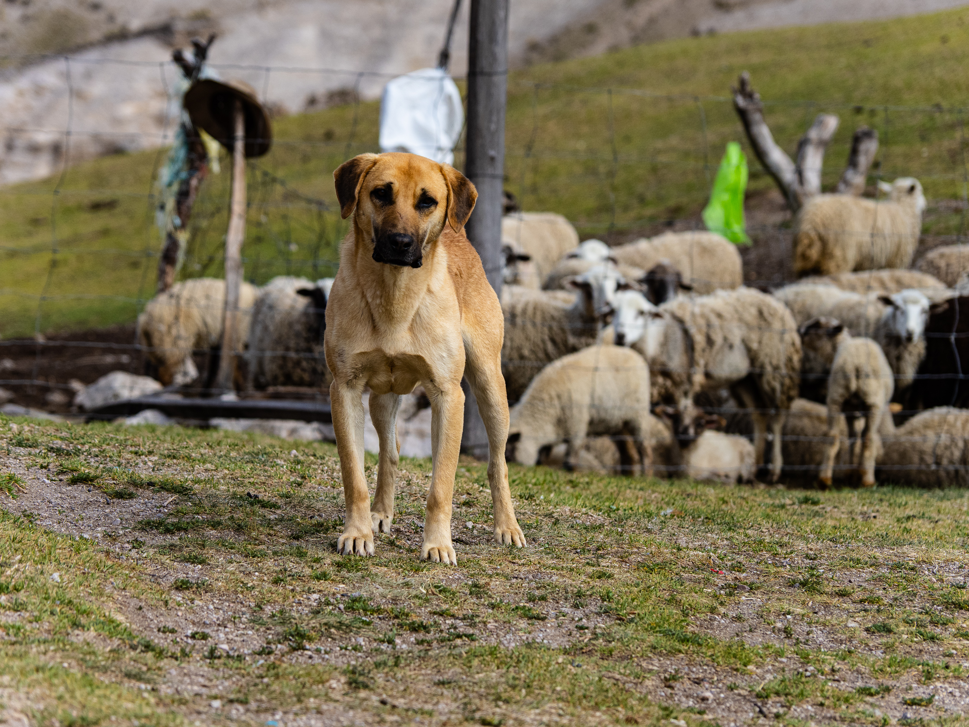
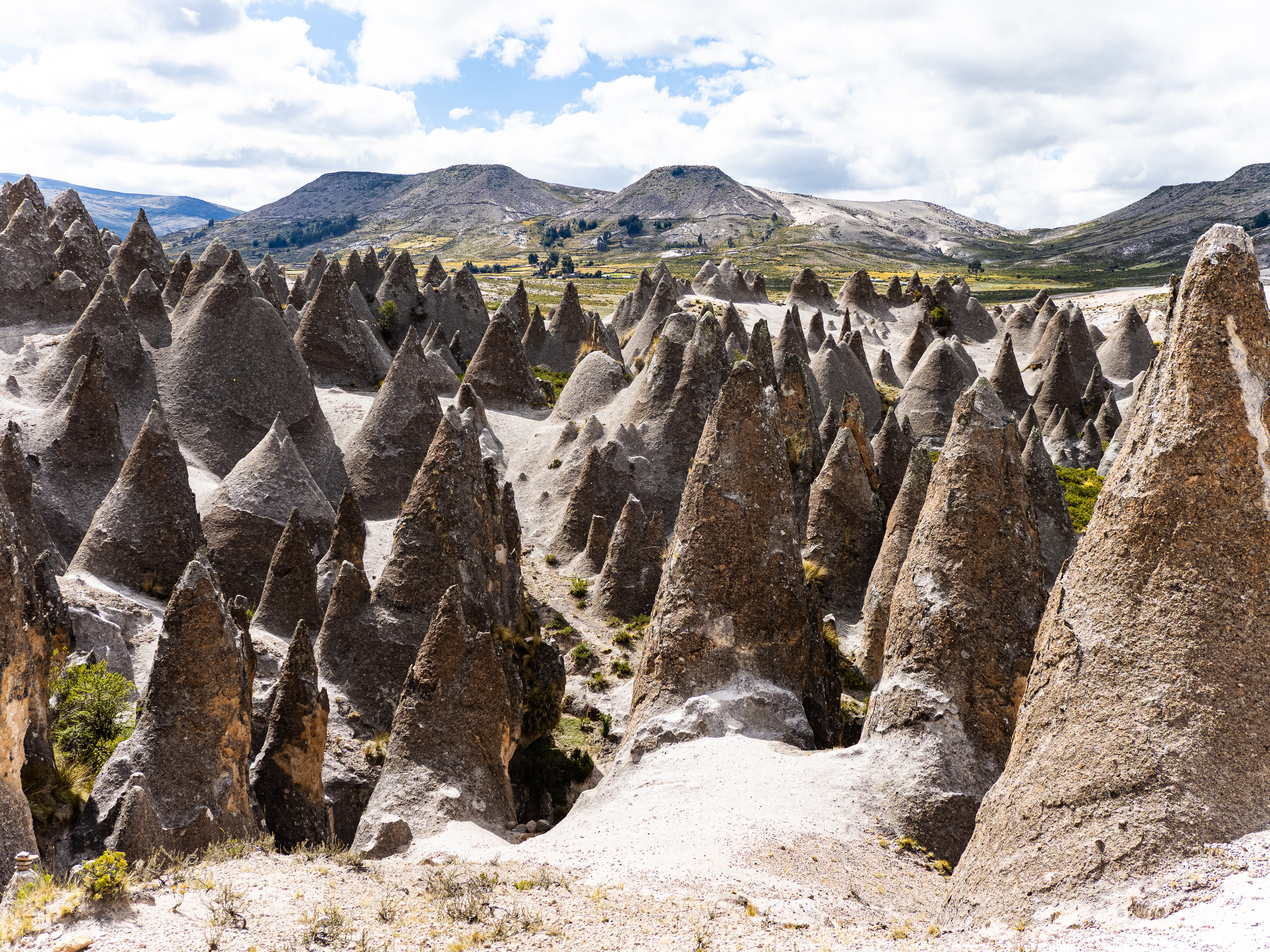
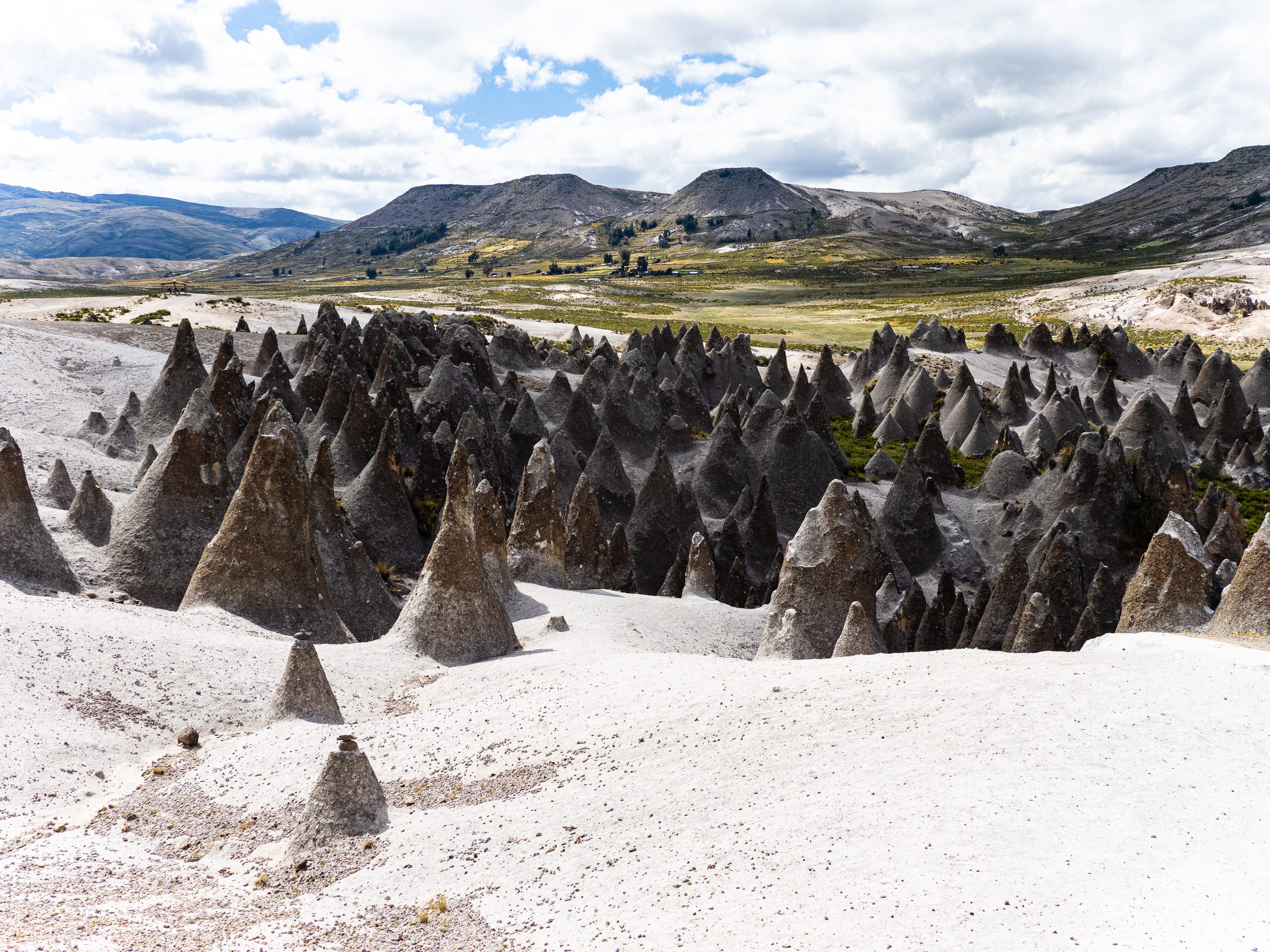
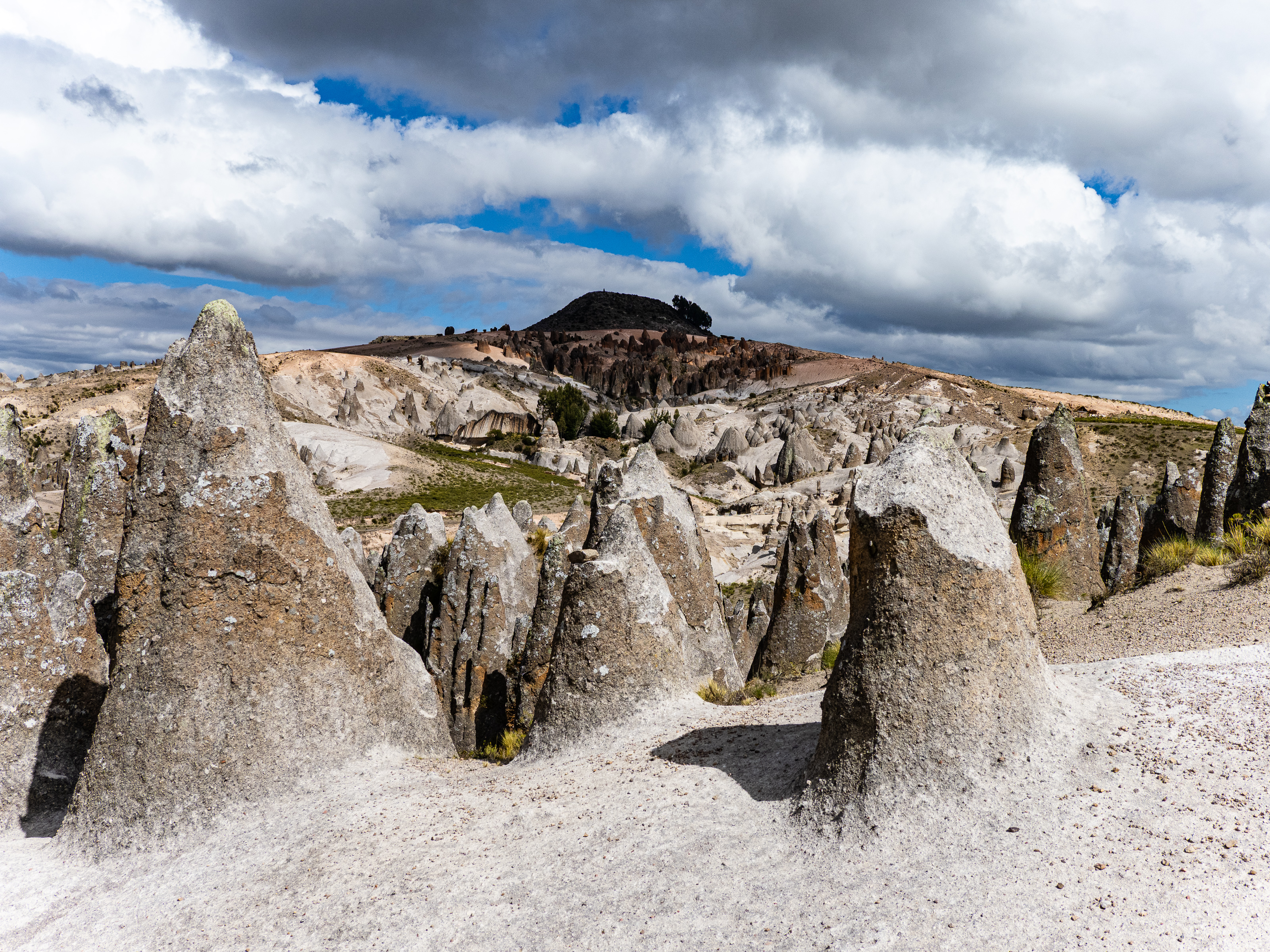
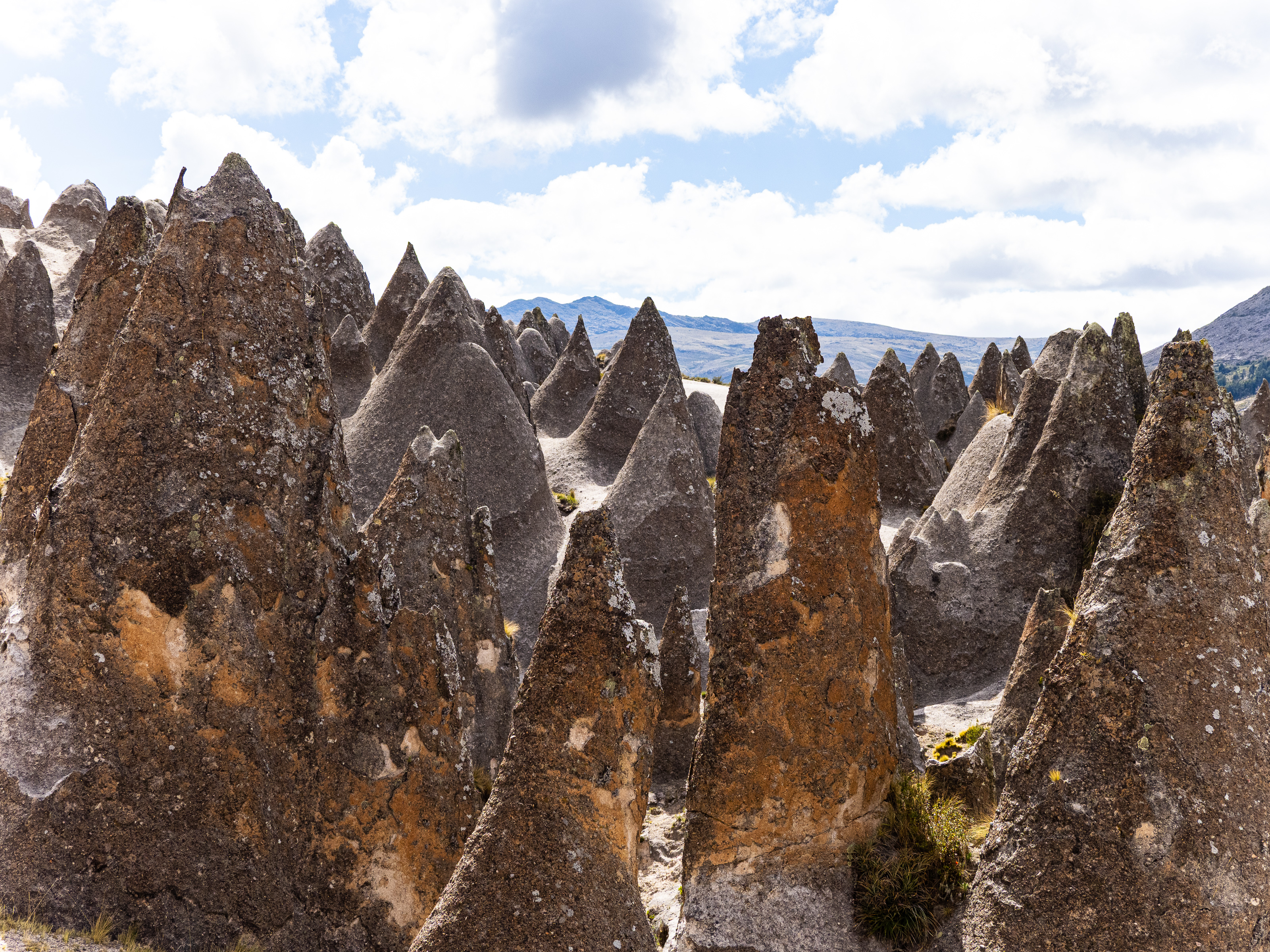
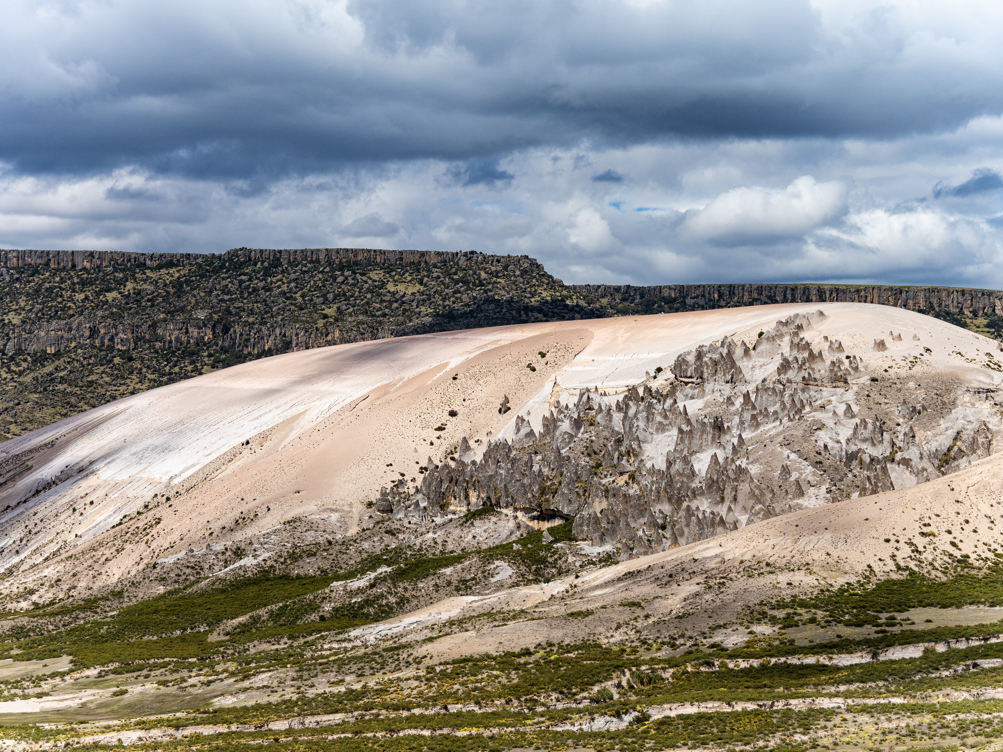
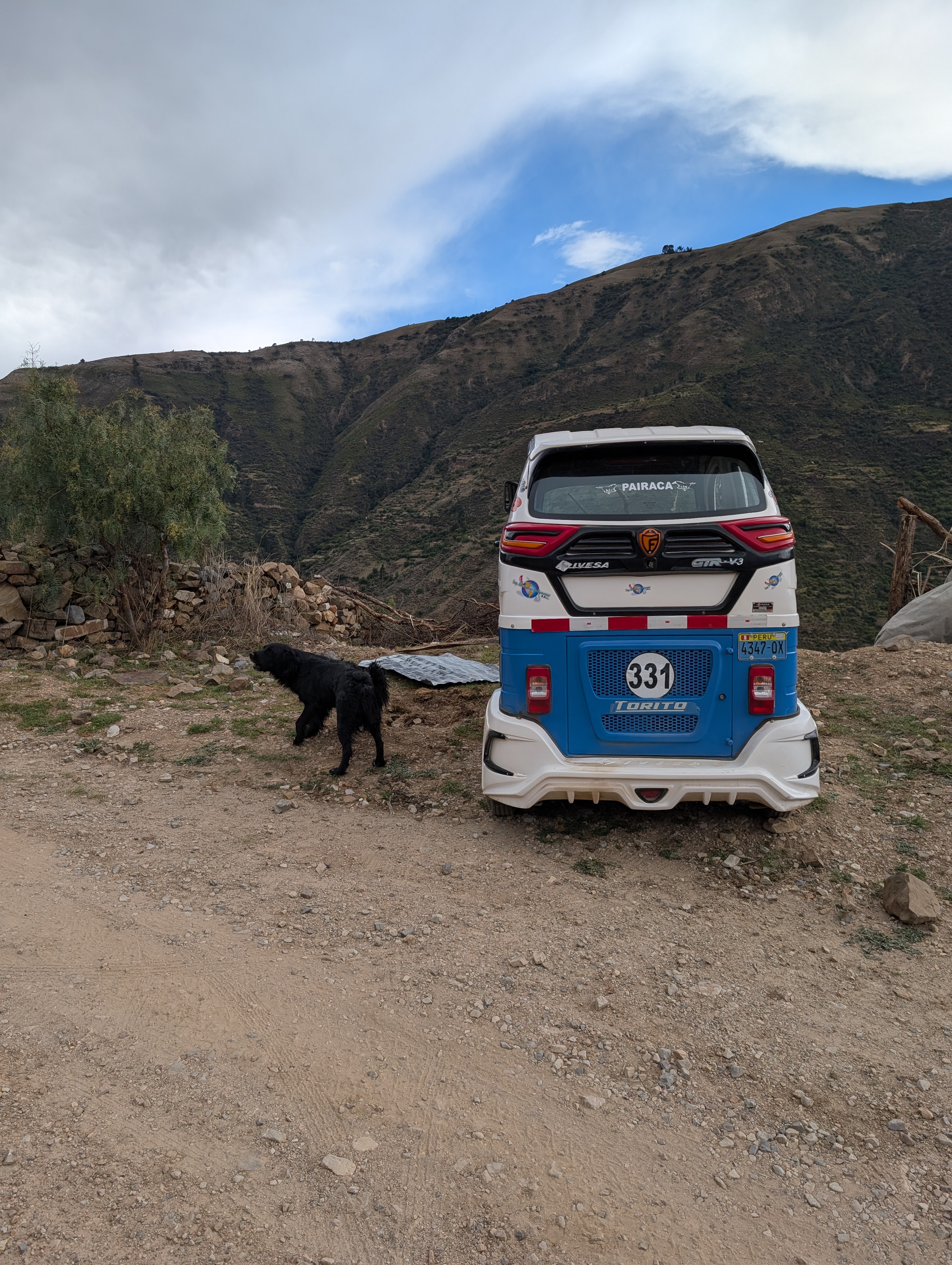
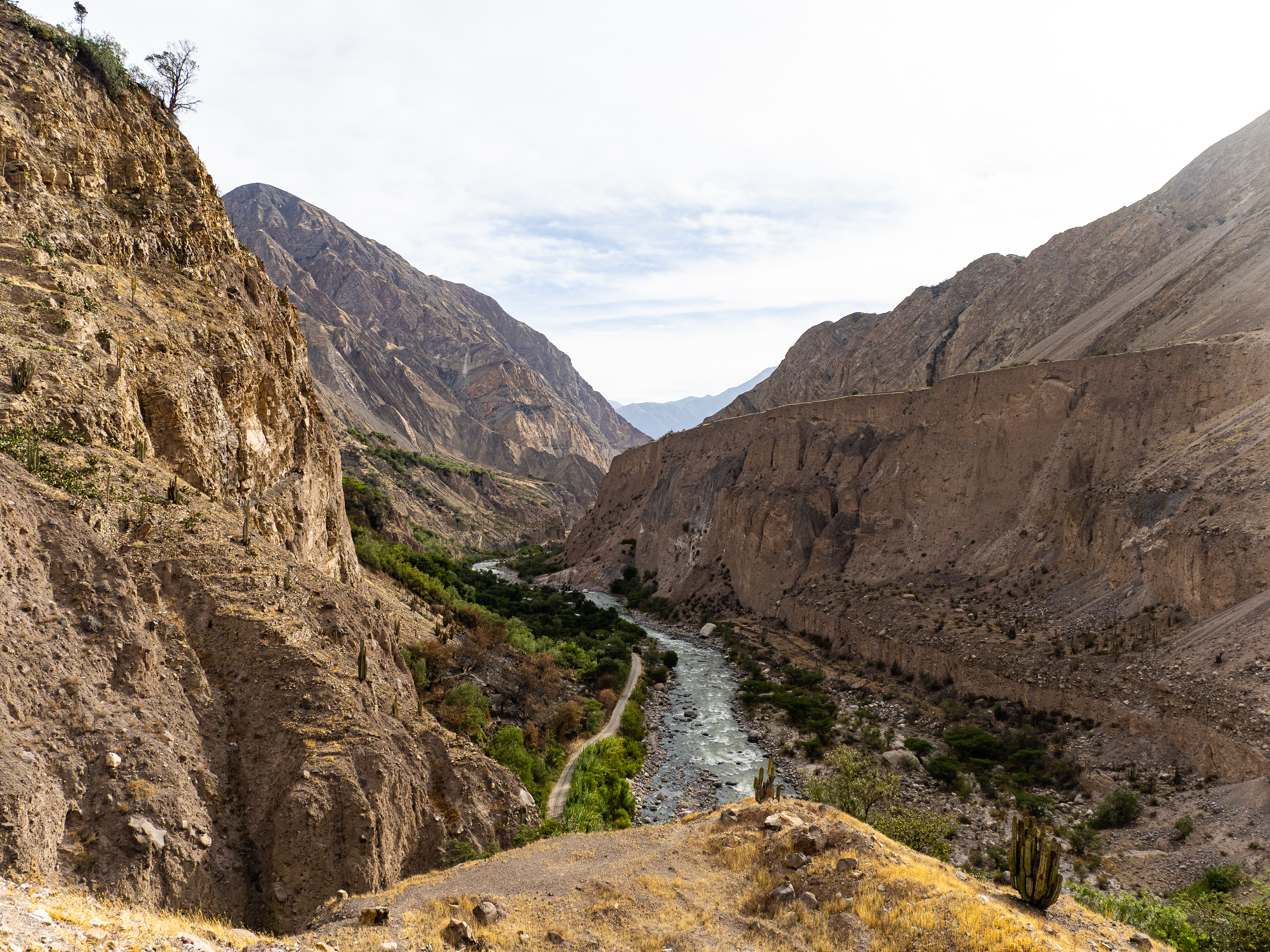
My third day on this segment brought me form the river camp to Challuanca across some of the roughest “roads” I’ve ever been on. Leaving camp, I crossed the river on a rickety bridge and headed uphill. My first stop was La Casa de Los Pitufos, or Smurf homes, where people many years ago built their homes into the conical rock formations that dot the landscape here. It was a quick stop, where I had a staredown with a buff sheep dog.
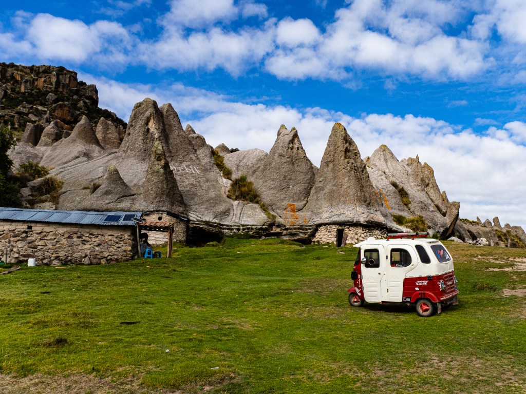
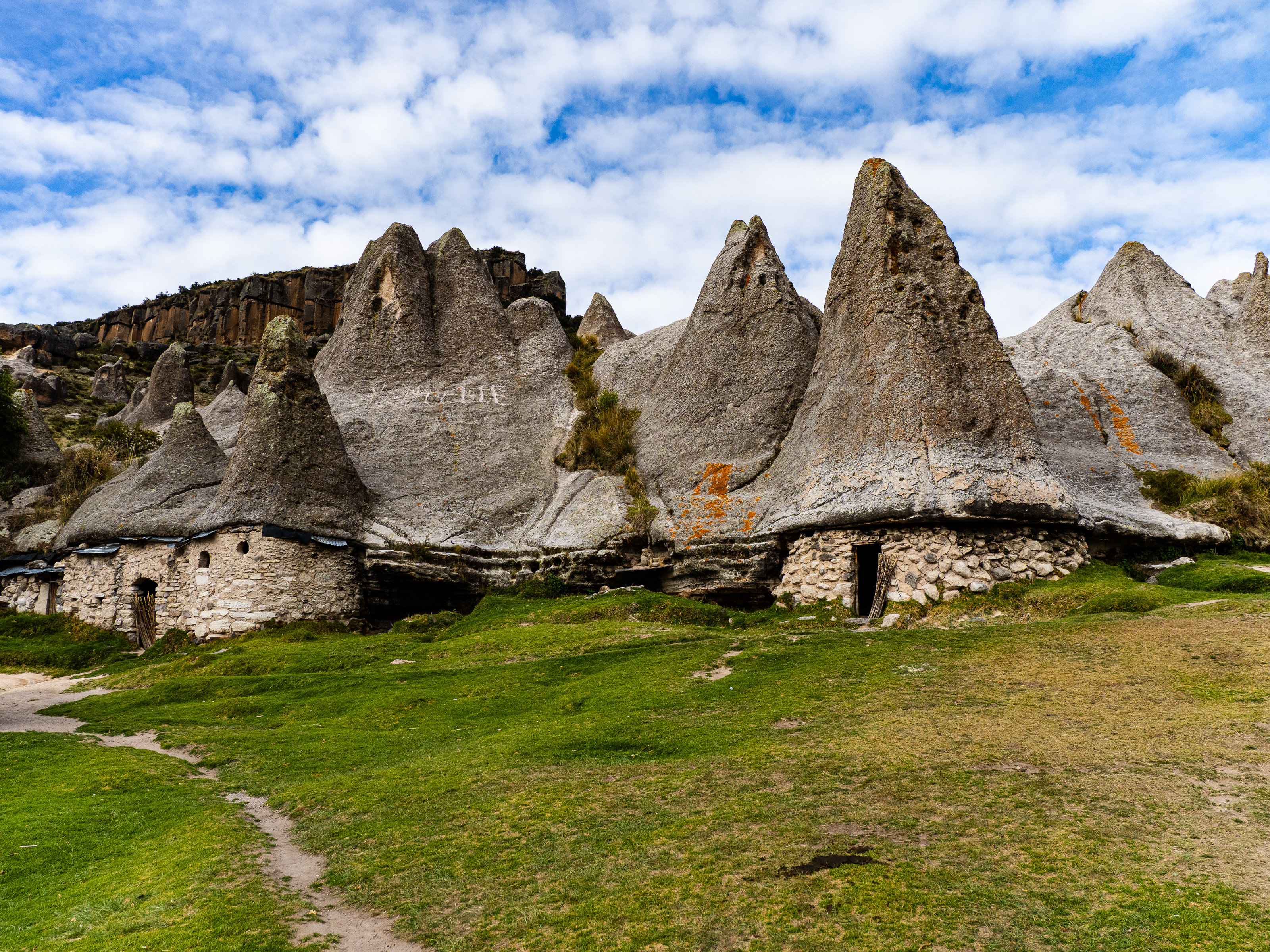
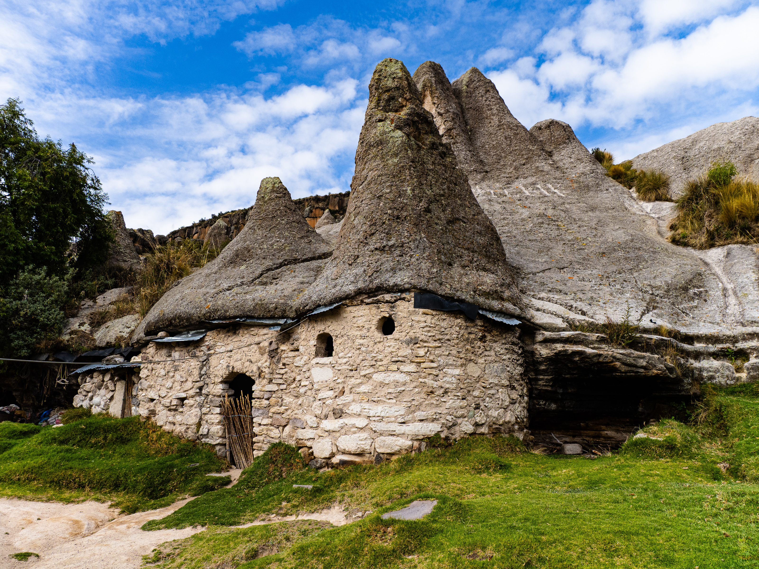
From there, I continued upwards to Bosque de Piedras de Pampachiri, a sprawling complex of fascinating conical rock formations. The place was empty and I explored the area, thinking it would be really fun to ride a mountain bike through the rocks. It was a beautiful, otherworldly location and I could have spent hours there if I had more time.
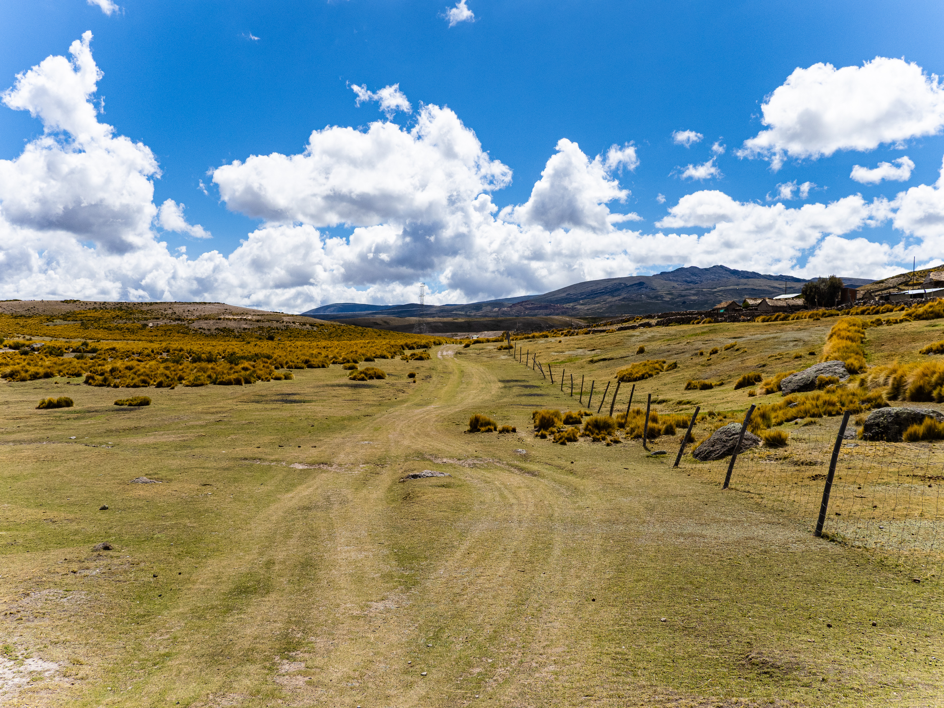
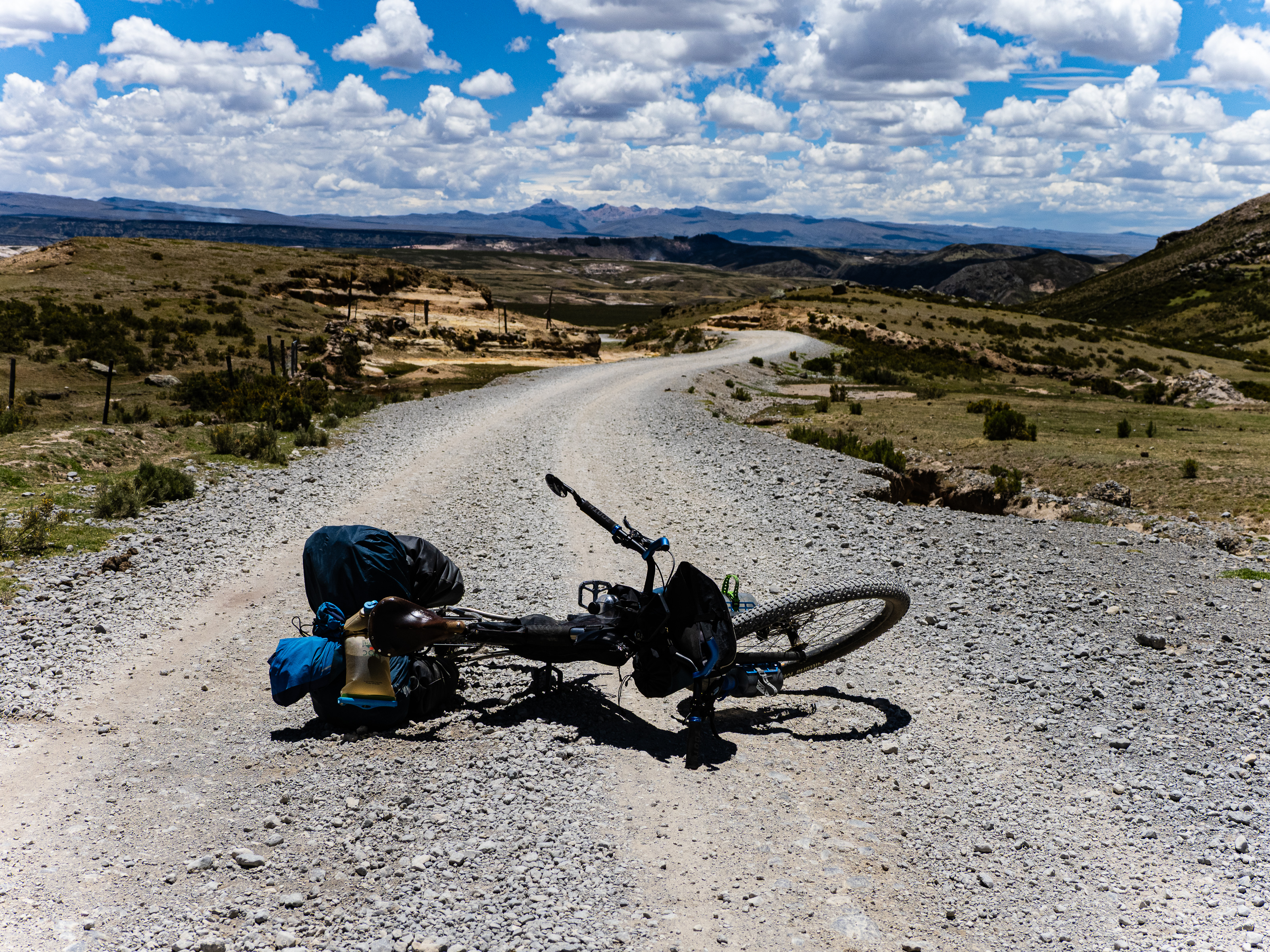
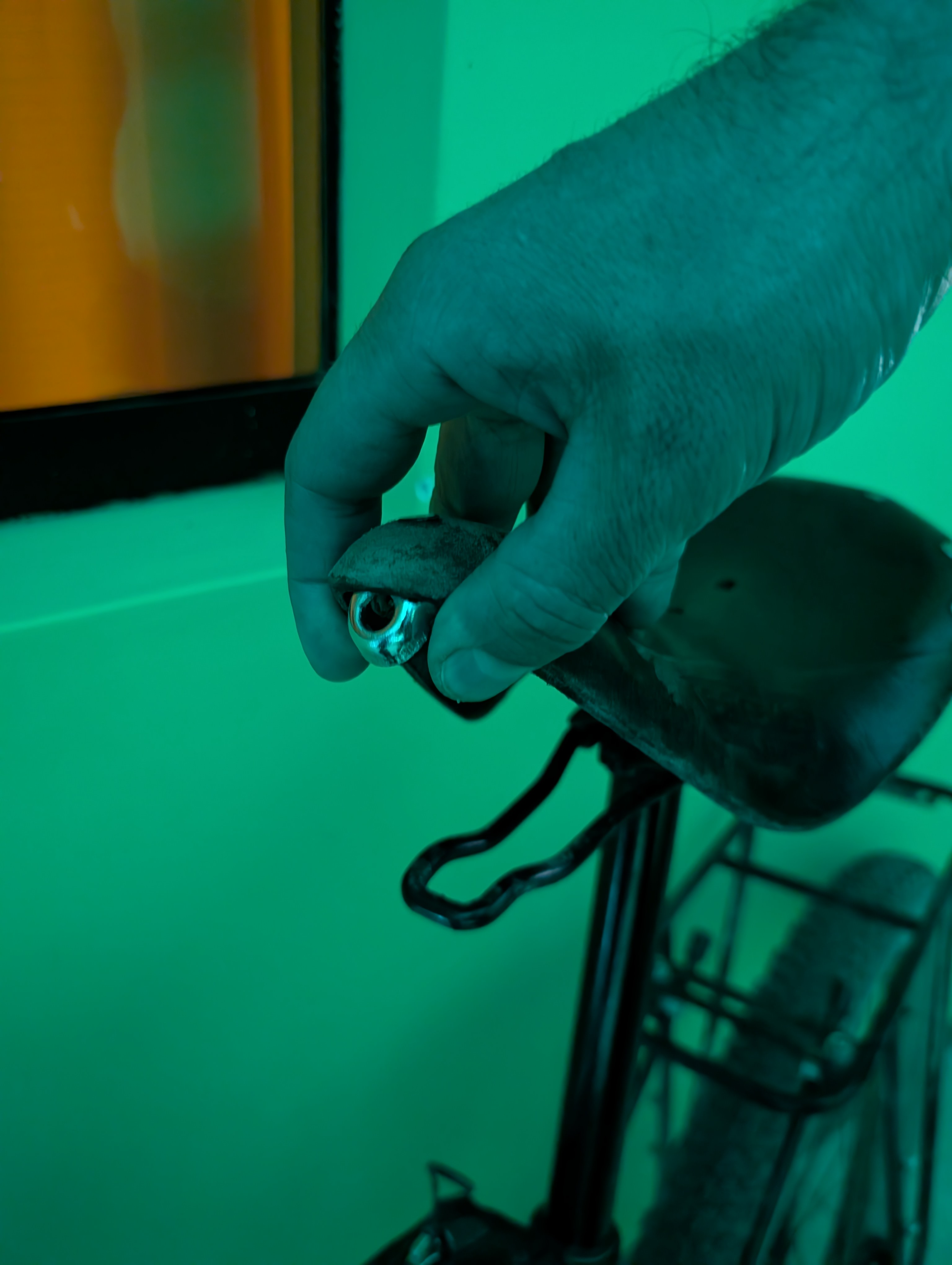
Leaving Pampachiri, I followed some roads on my map that could barely qualify as roads. They were more grass paths that meandered past stone farmhouses. I earned a few quizzical looks as I pedaled through. “What is this gringo doing here on his bike?” they must have been wondering. On one descent, the tension pin rattled loose from my Brooks Saddle. I hiked back up hoping to find it, but it was lost for good. Crucially, the tension shackle, which connects the pin to the saddle, also fell off. I set off with a saggy saddle, with mild hopes I could find a fix in Challuanca.
The roads went from bad to worst, but were still rideable. One path that was marked as a main road on my map appeared to barely exist, so I followed an alternate that was filled with rocks and bushes. It ended at a river, with water that was at least knee deep. The lost road continued a little further before improving into a dusty double track and eventually joining a main road, which linked up to a desolate, paved single-lane highway.
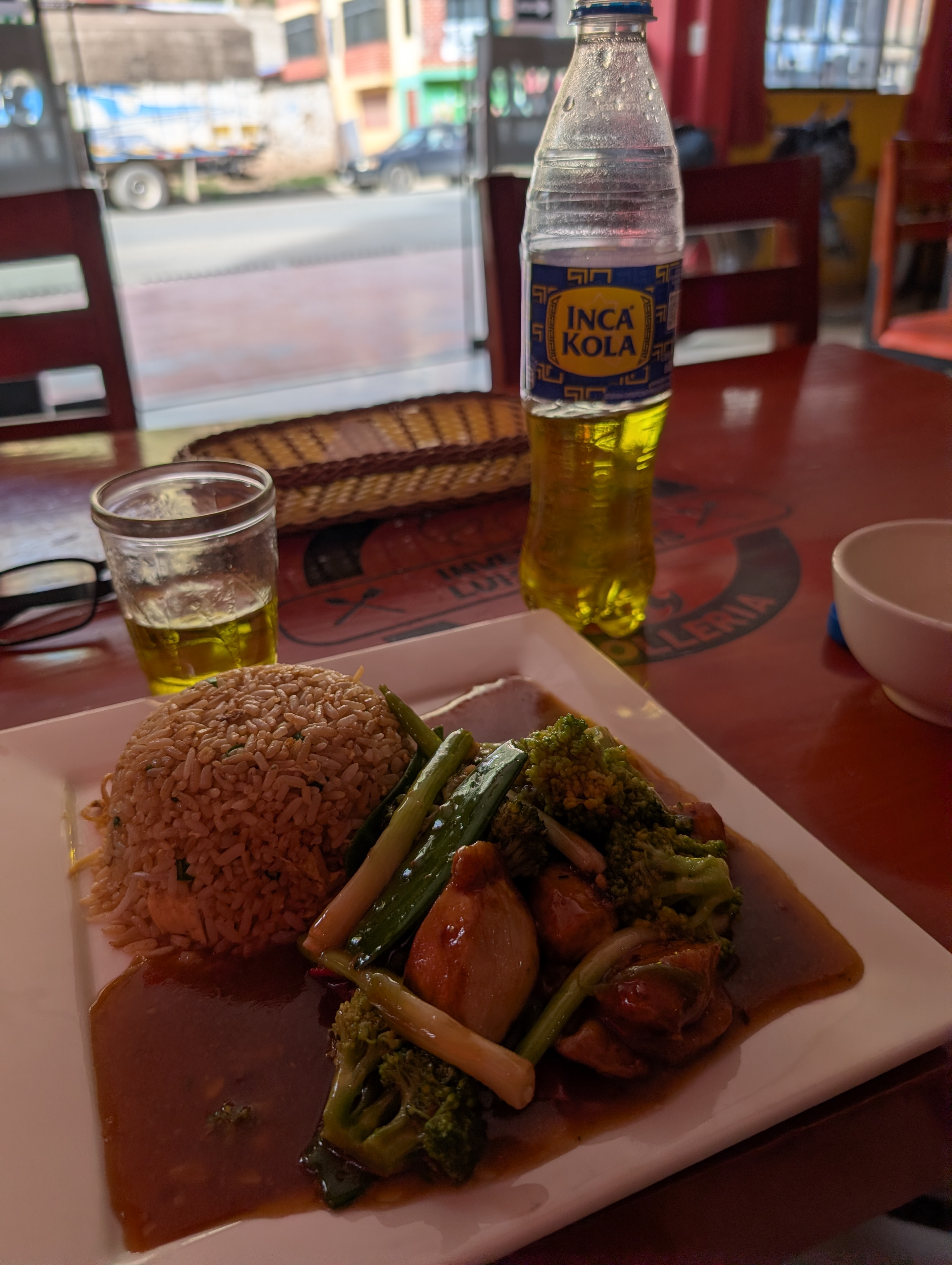
After a short stint of highway, I turned off onto a dirt road that dropped over 1,000m in elevation in only 18 km. Then it was a chill 10 km of highway to Challuanca, where I splurged on a room at the relatively upscale Hotel Sami Wasay. I was lured by the pool, but the weather ended up much cooler than expected so I never did enjoy it. It was a nice spot, but not really worth the price I paid.
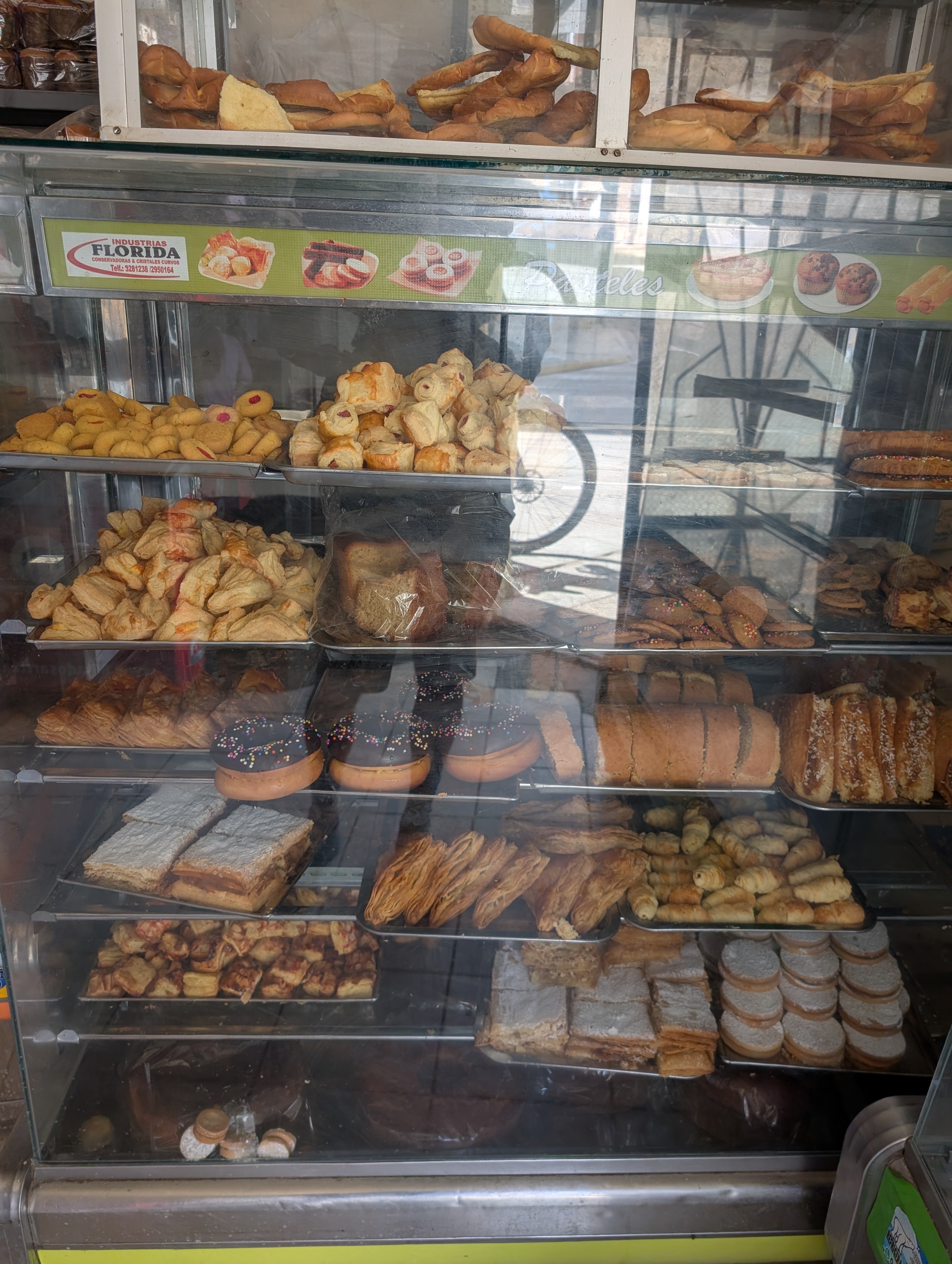
In Challuanca, I spent my day off stocking up on food for the road ahead. I anticipated three or four nights of camping before reaching Cotahuasi, and wanted to make sure I was prepared. I also looked for a fix for my Brooks saddle, but was unable to find a replacement for the tension shackle. And so I’d be riding the rest of the way with a soft, saggy saddle. I found some rags to at least provide some cushioning between the leather and the seat post.
Up next: my five day journey to the bottom of Cotahuasi Canyon.

Leave a comment