Flathead to Foothills is a challenging 583 km route that takes in two sides of the southern Canadian Rockies – the Flathead region of B.C. and the foothills region of southwest Alberta. On this route, you’ll experience both towering mountains and wind-open rolling prairies.
Highlights:
- Riding around Mt. Broadwood through Wigwam Flats.
- Crossing the Continental Divide at Middle Kootenay Pass
- Riding through Castle Wildland Provincial Park along the flanks of the Rockies.
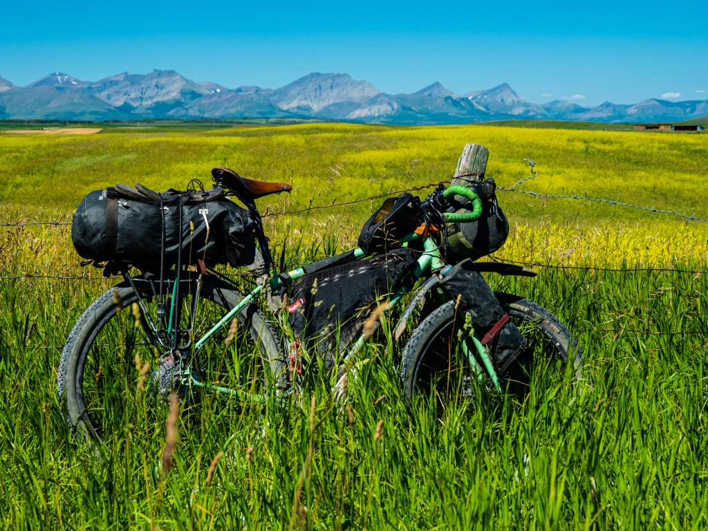
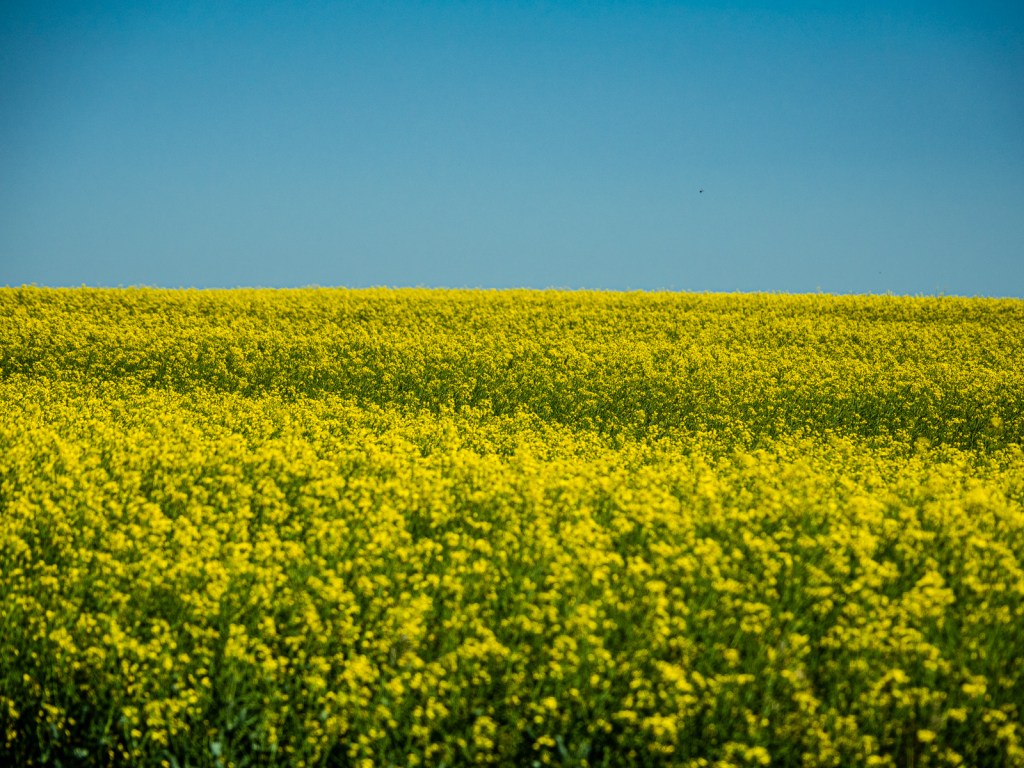
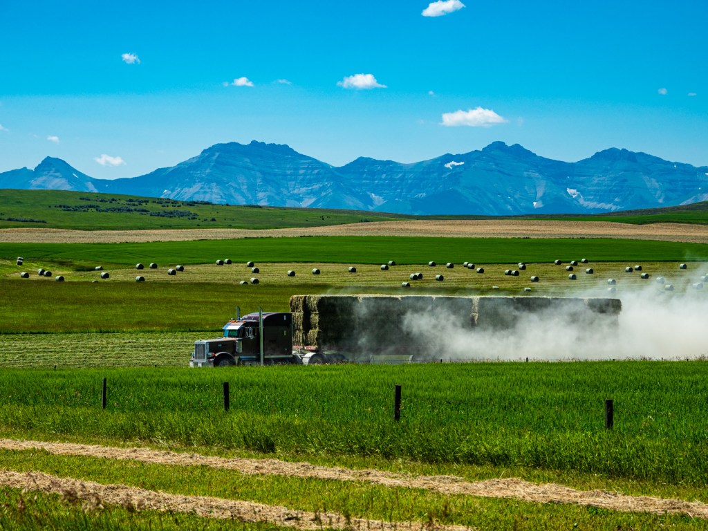
- Pedaling through vast yellow fields of canola, with the Rockies in the background.
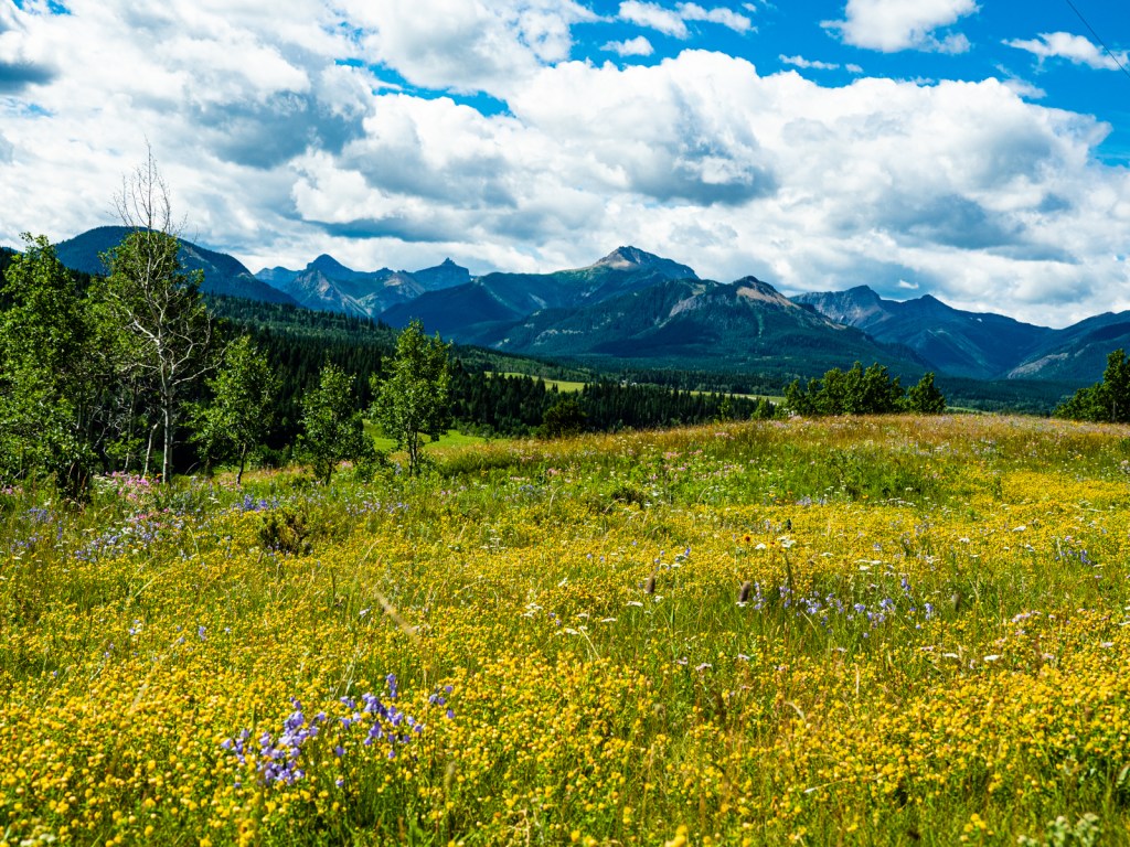
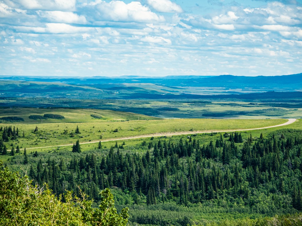
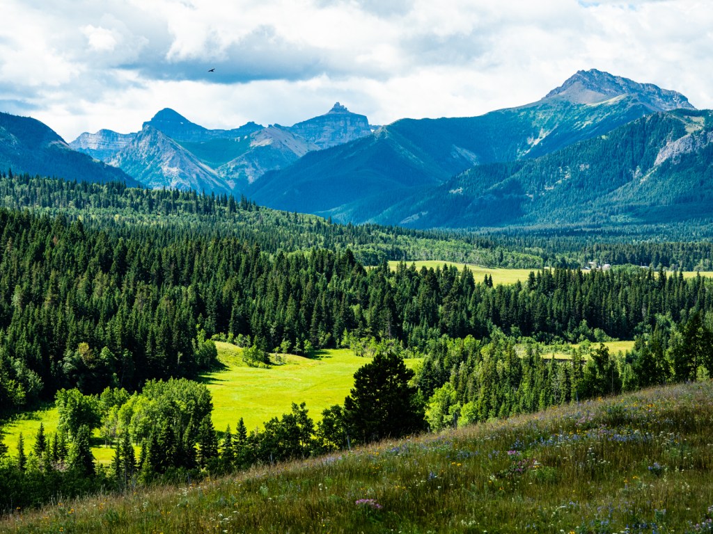
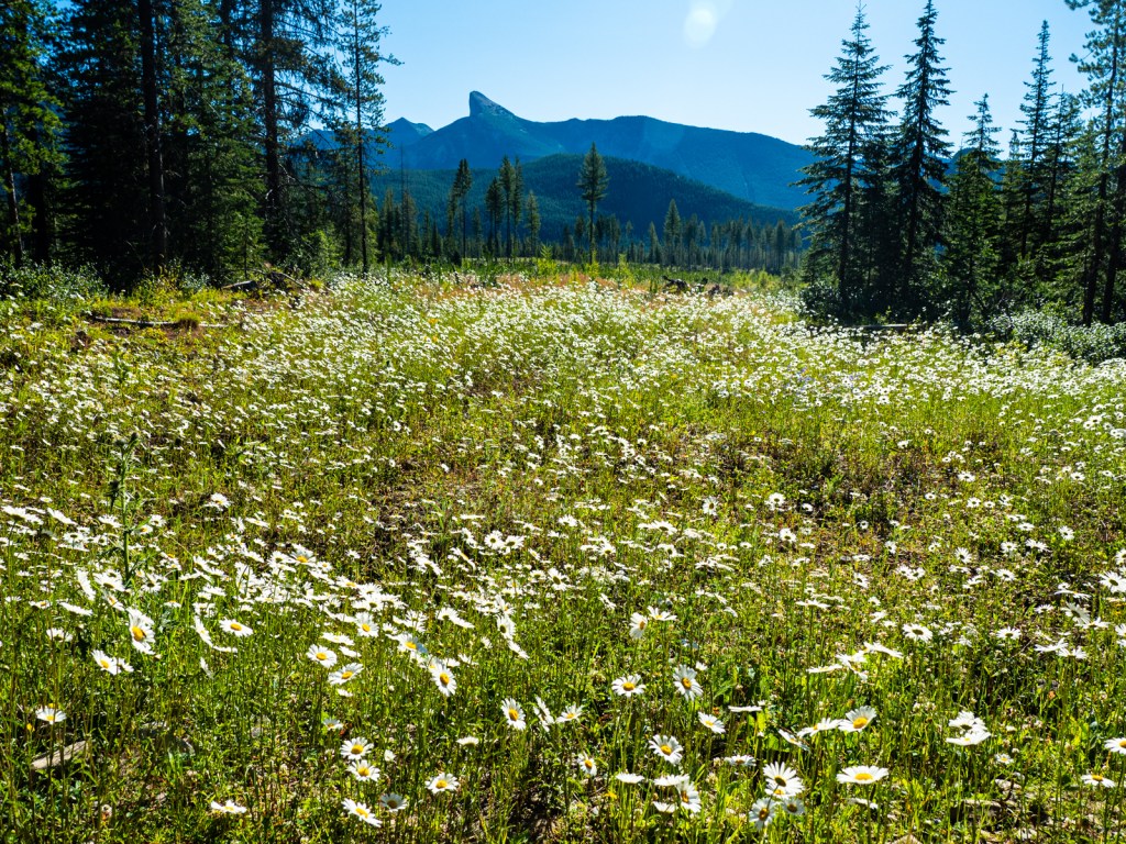
- Enjoying the peaceful forests in Porcupine Hills.
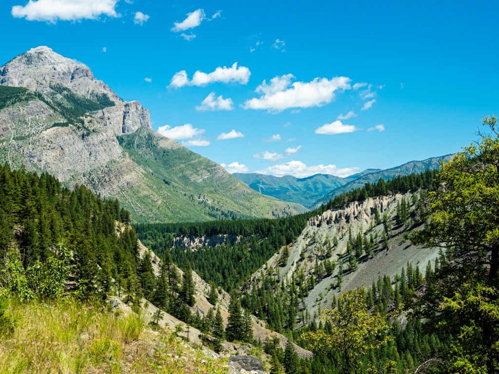
- The hidden valley along Range Road 31
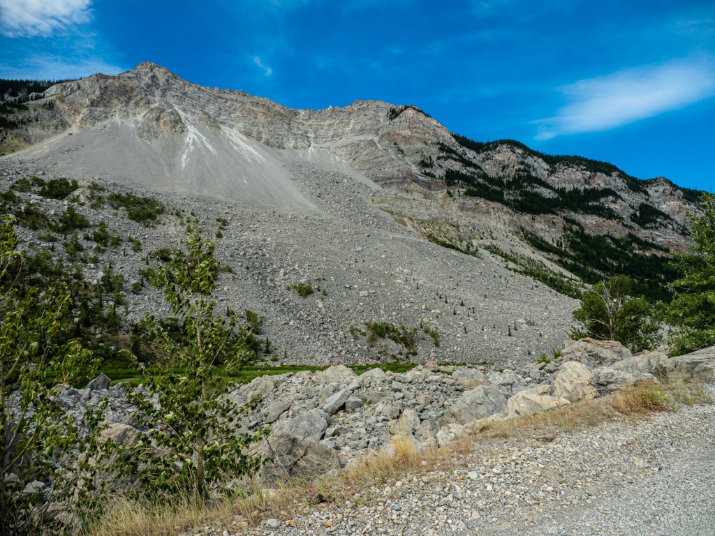
- Riding through Frank Slide, the deadliest landslide in Canadian history.
Route Guide
I rode this route in late-July 2020, during a lull in the pandemic. This guide reflects conditions at that time.
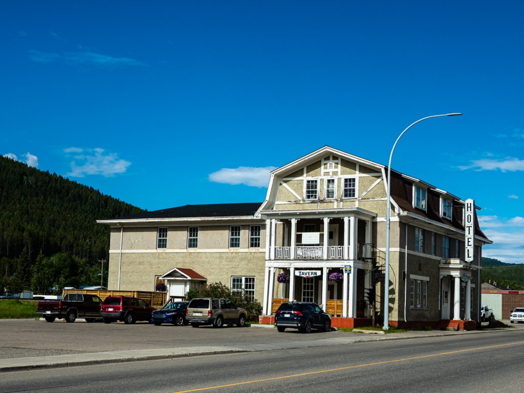
I started this route at the Elko Motel and went counter-clockwise, so this guide is written from that perspective. It would also be possible to start in Waterton, Pincher Creek, or Crowsnest Pass
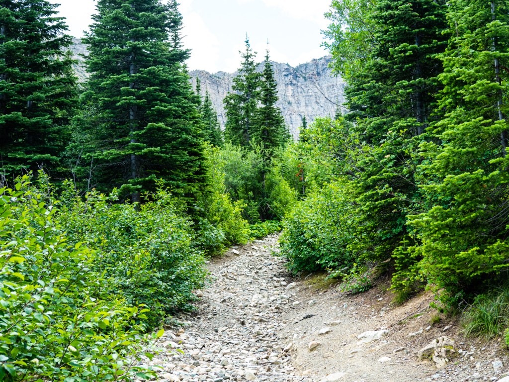
Leaving Elko, the route starts some punchy climbs bringing you to Wigwam Flats. Some mellow singletrack takes you through the meadows before joining a road through the powerline brings you into the Flathead. You’ll then begin a 675 m climb to Cabin Pass, before dropping down to the Flathead River.
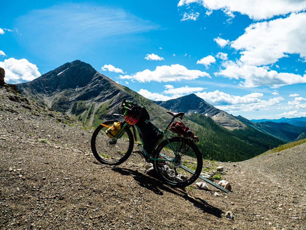
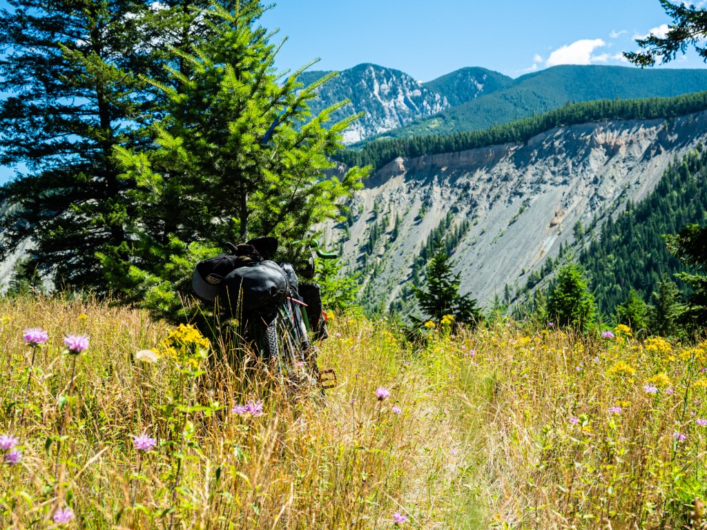
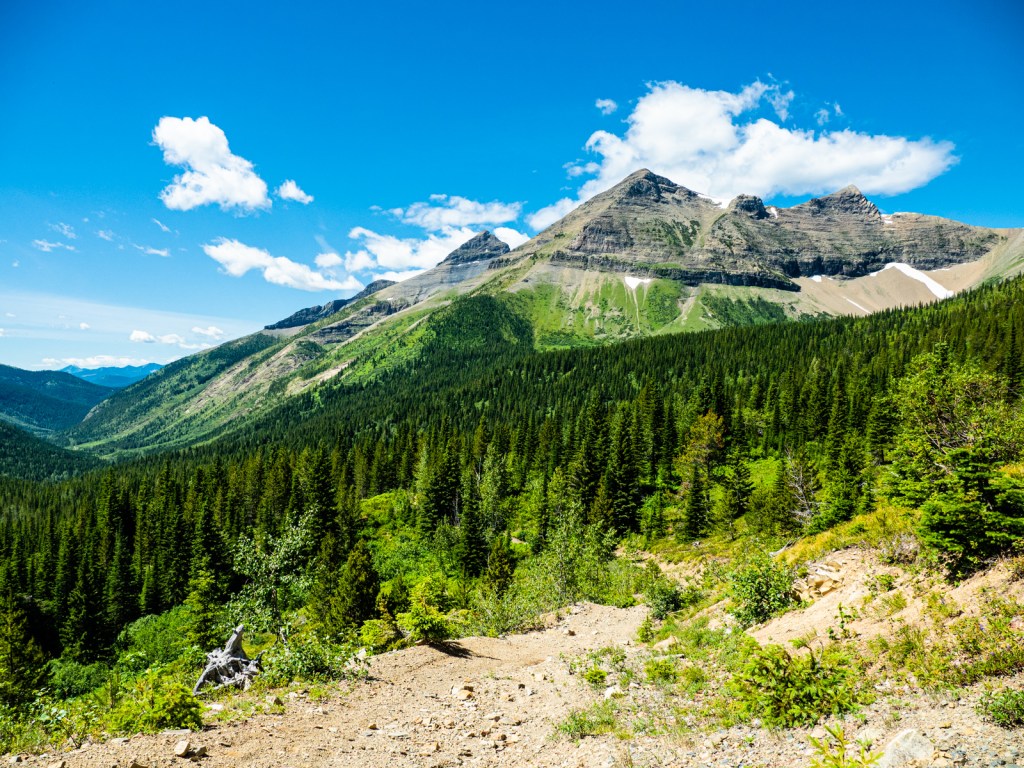
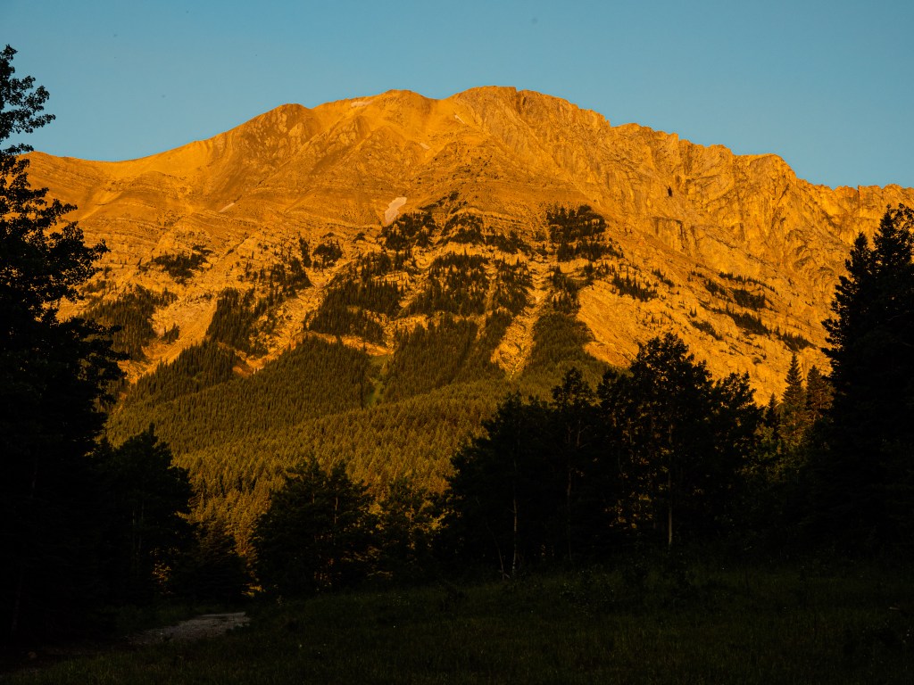
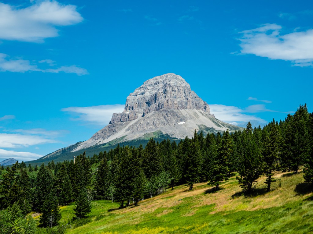
After crossing the river, the climb to Middle Kootenay Pass begins. It begins rather gradually up an old forest service road. Eventually it turns into a double-track that gets progressively steeper and overgrown. Eventually, it emerges into the alpine, where you’ll enjoy incredible views of the continental divide.
The descent is steep and full of loose rock. It’s rideable depending on your skill and comfort level. At the bottom, you’ll pass by Castle Mountain Resort and you may be able to get a meal at the T-Bar Pub. The route then follows a nice paved road to Beaver Mines, where you can stock up on treats at the general store.
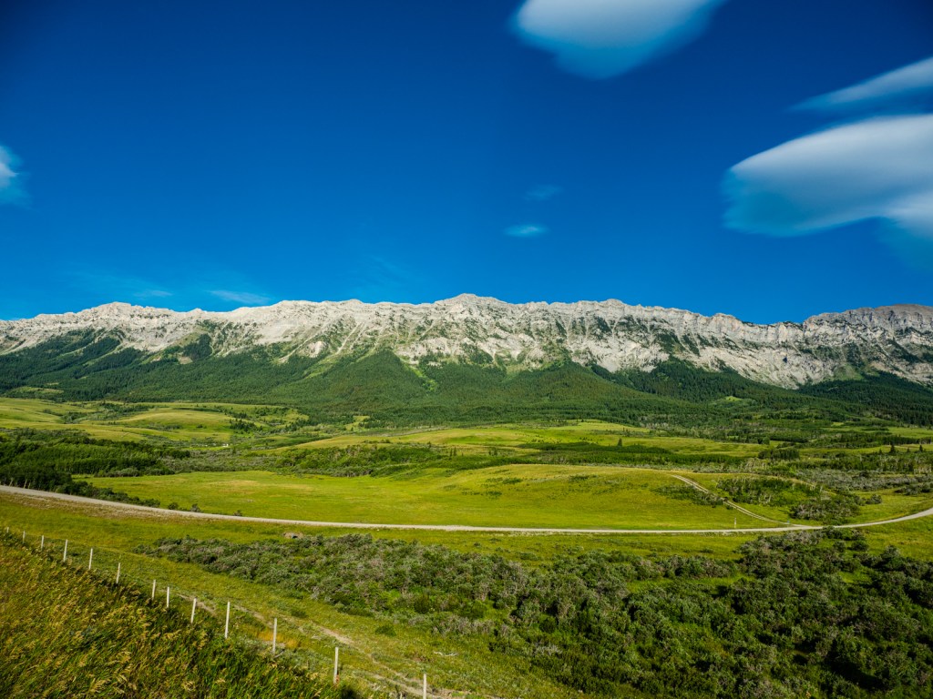
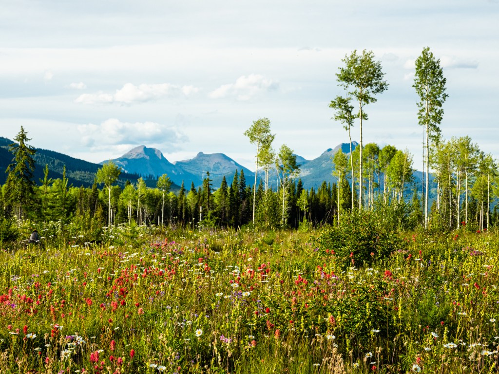
From Beaver Mines, the route turns south and enters Castle Wildlands Provincial Park. This gorgeous road sits of the lower flanks of the Rockies, affording you incredible views from the peaks to the prairies below. Expect some punchy climbs before beginning the long descent to Waterton National Park.
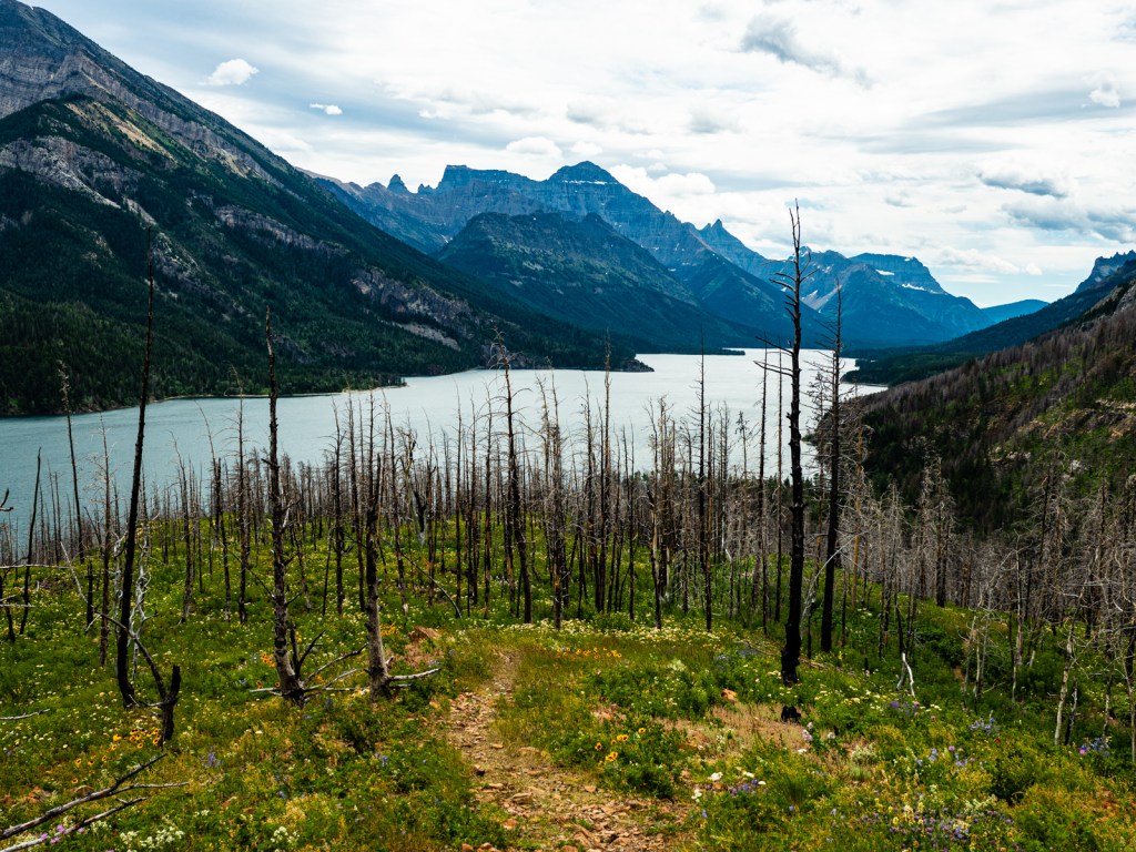
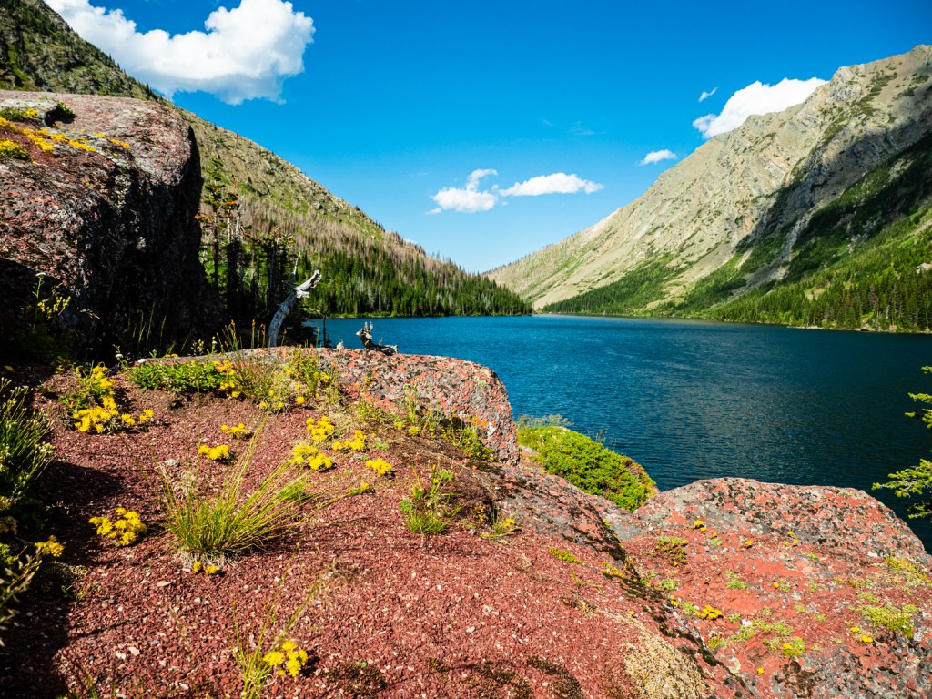
It’s worth the detour into Waterton National Park. You’ll find an (expensive) grocery store there, restaurants, hotels, and camping. I took the time to for an overnight hike to Bertha Lake while there.
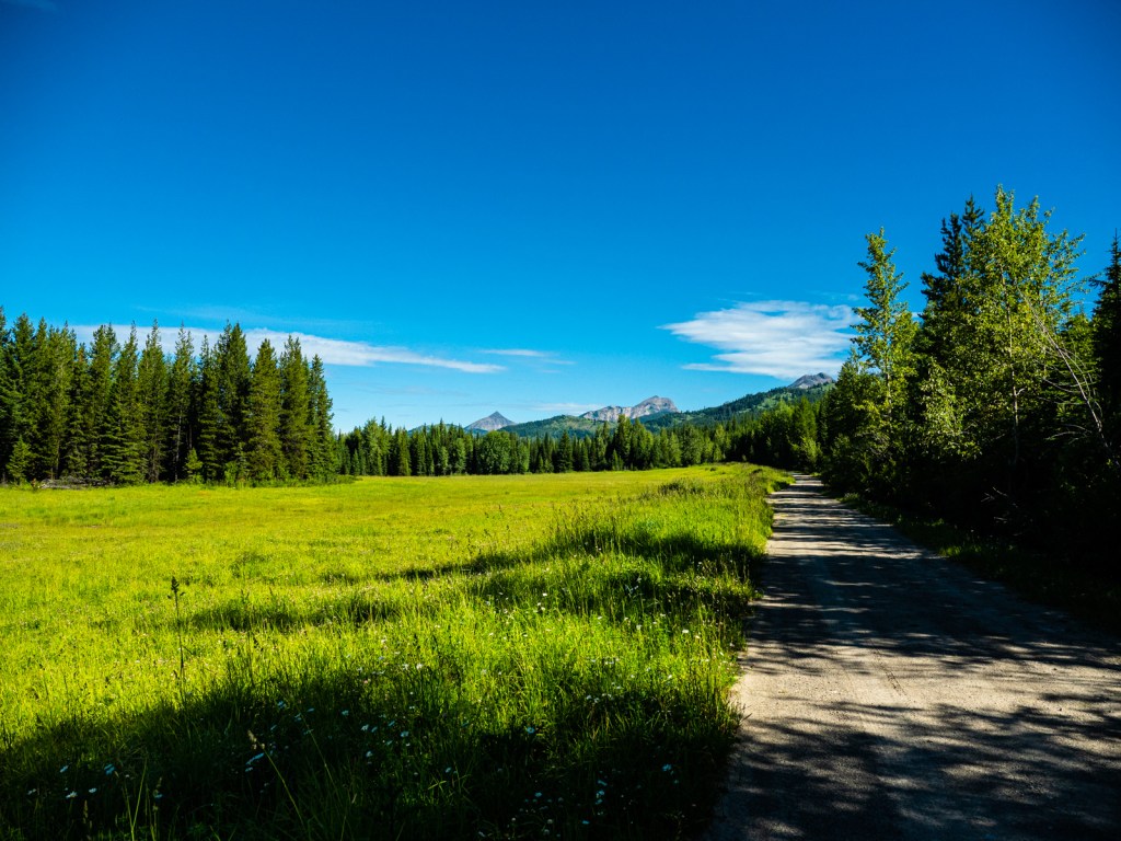
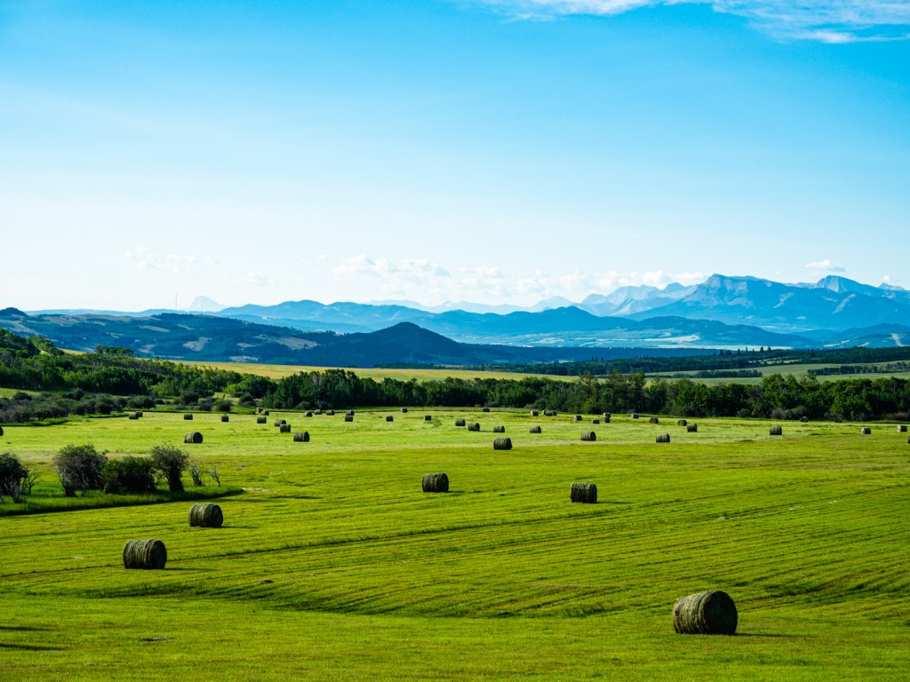
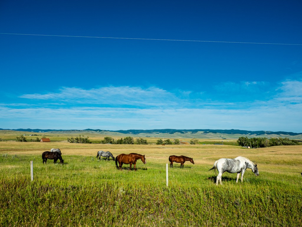
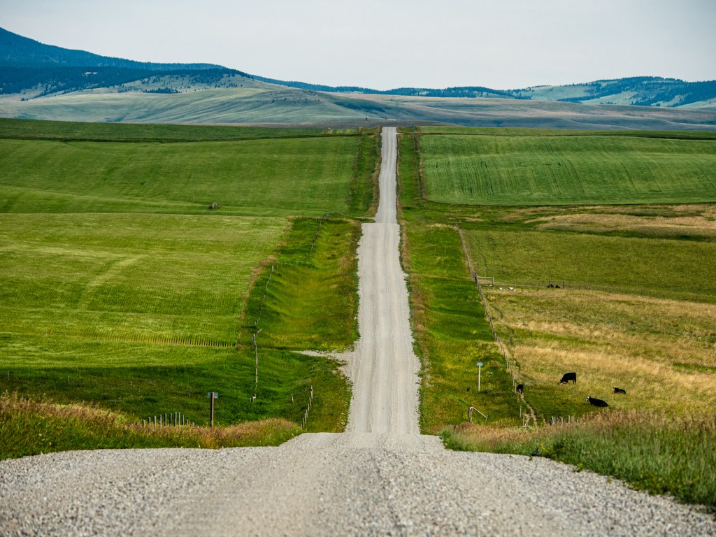
From Waterton, the road goes north, following gravel farms roads through sprawling fields of canola. This is a truly beautiful area to ride, with fast pedaling and incredible views. The downside is the wind when the road turns west towards Pincher Creek.
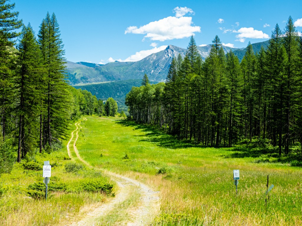
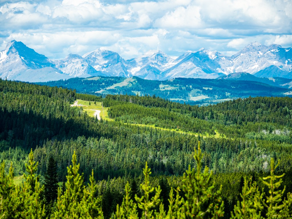
Pincher Creek makes a good place to resupply and even get a hotel room for the night. From town, the route heads north and climbs into the Porcupine Hills, where you’ll enjoy pleasant riding through tranquil pine forests. This area is popular with dirt bikers and ATVers, but they were all very respectful.
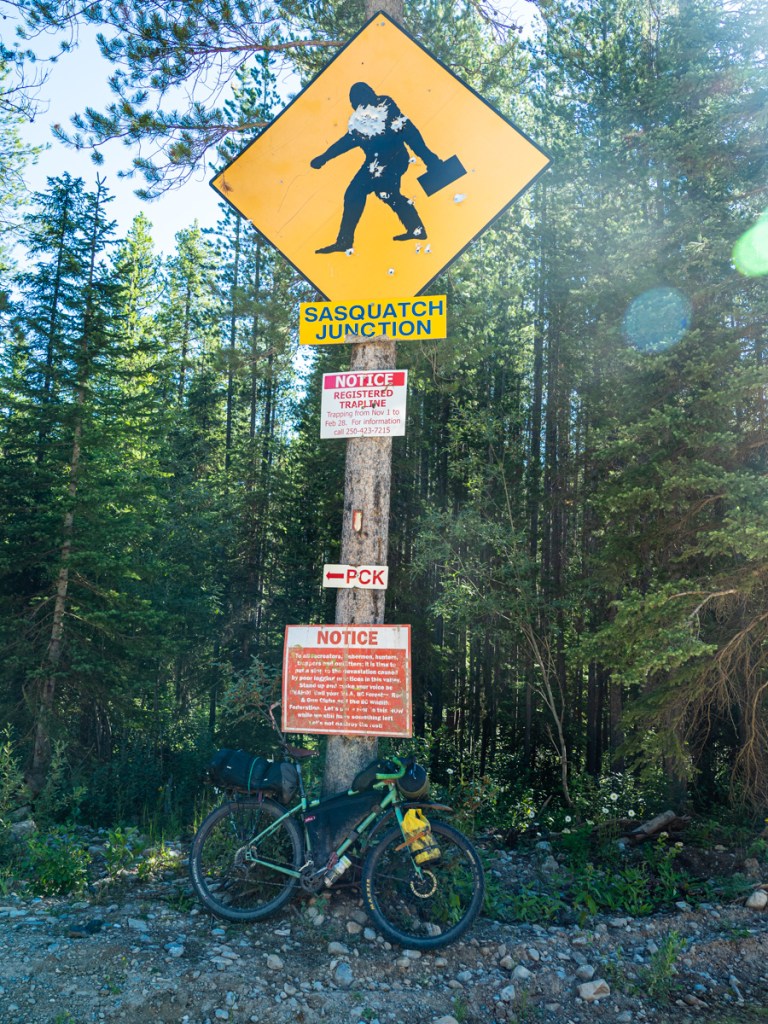
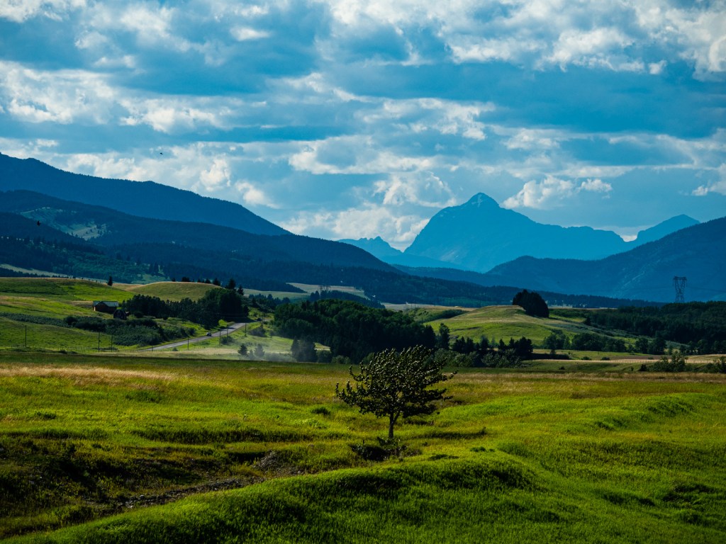
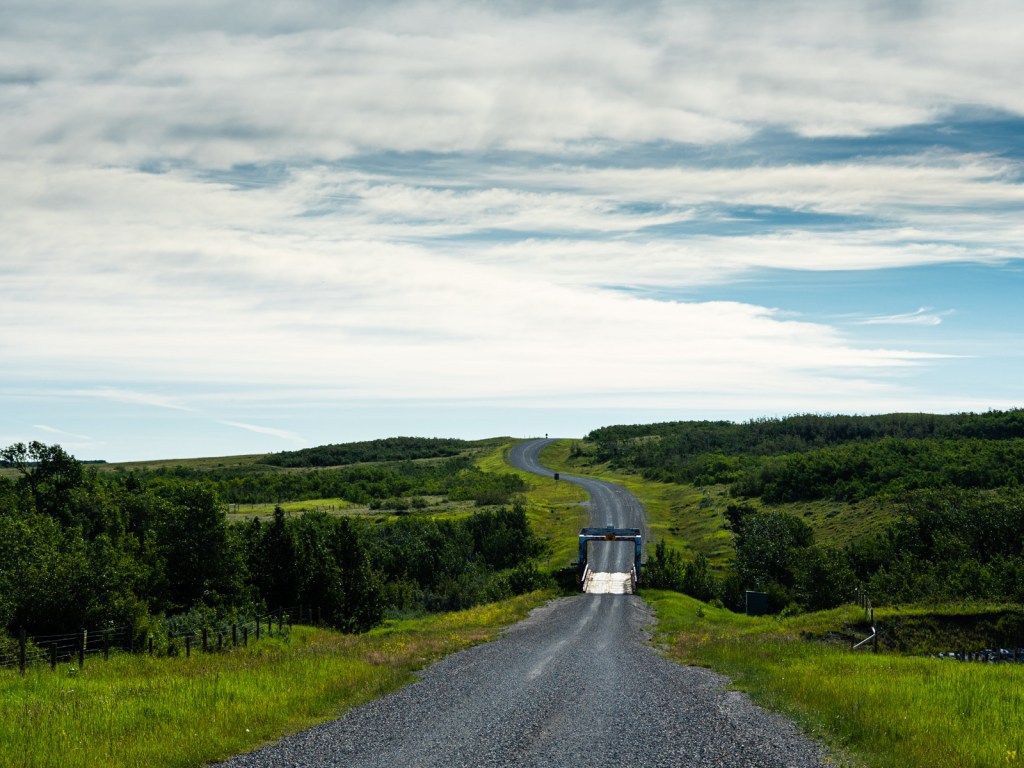
Leaving Porcupine Hills, I experienced the worst headwind of my life and had to pedal hard just go downhill. Eventually, I entered the Willow Valley, a magical land of rural homesteads abutting the front range of the Rockies. From there, the route briefly follows Highway 3 before turning onto a side road that takes you through the Frank Slide – Canada’s deadliest landslide. You’ll then follow the Crowsnest Past Trail through Blairmore and Coleman before rejoining the highway for 25 windy kilometres.
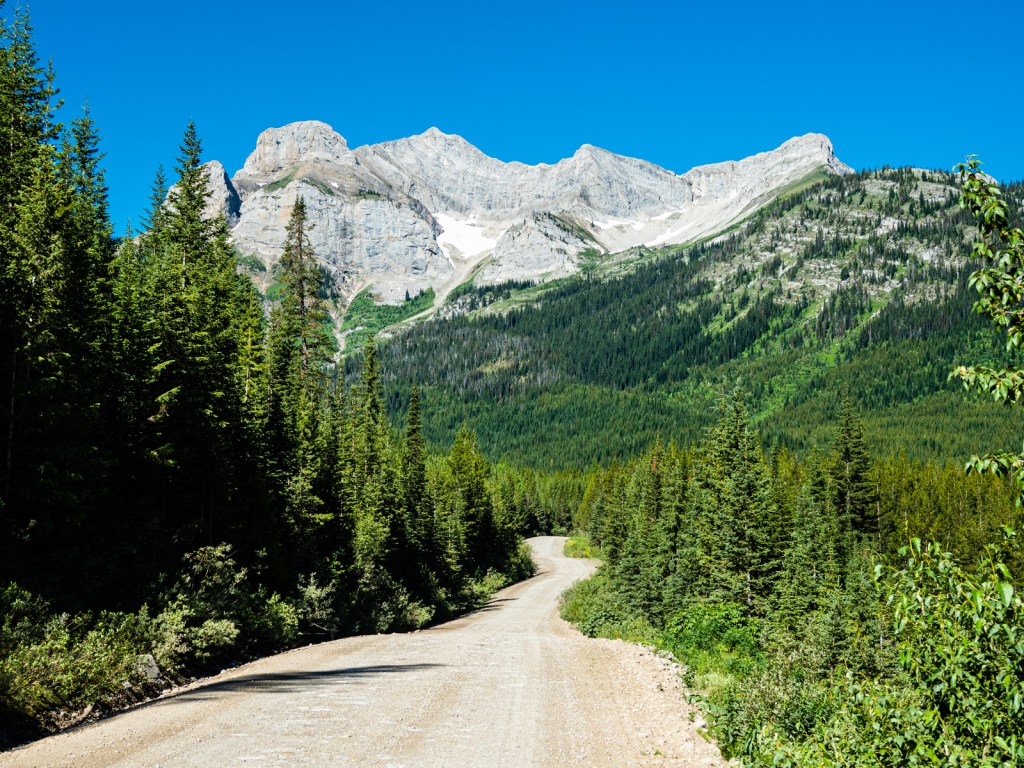
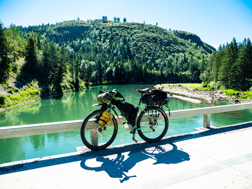
The route crosses back into B.C. and turns south onto Corbin Road, reentering the Flathead. You’ll pass by the massive Coal Mountain mine, then begin the climb to Flathead Pass. The climb wasn’t bad, but the road down the other side was a mess and had basically turned into a creek when I rode it. From Harvey Creek Rec Site, you’ll turn onto Lodgepole Road for a 350m climb. Then, it’s pretty much all downhill to Elko.
Camping, lodging, food, and water
There are numerous rec sits along the route in the Flathead Region. You can also try sleeping at Butts Cabin if it’s free. It’s a popular spot for Tour Divide racers, so there’s some history there for bikepackers.
Castle Provincial Park has a few campsites. Dispersed camping is allowed in Castle Wildland Provincial Park away from the main roads. Waterton National Park has a very large campground, though it can get booked up in peak season.
In the prairies, there’s a few camping options. Dispersed camping is allowed in the Porcupine Hills. After the Porcupine Hills, you’ll find a campground in Blairmore, as well as several free rec sites in the Flathead.
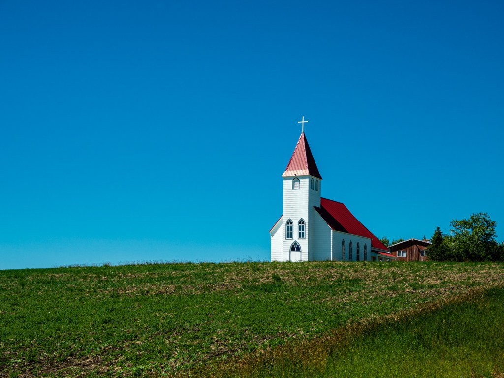
You can find hotels and food in Beaver Mines, Waterton, Pincher Creek, and throughout Crowsnest Pass. There’s also a restaurant at Castle Mountain Resort.
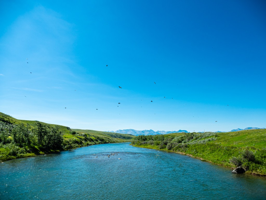
Water is plentiful in the Flathead, though we recommend filtering. In the Prairies, the widespread presence of agriculture and natural gas facilities means I recommend only filling up when you know it’s treated, or buying when possible.
Which Bike?
90% of this route is on smooth gravel roads, so any gravel bike with at least 40mm tires will do. The exceptions are Wigwam Flats, Middle Kootenay Pass, and the southern side of Flathead Pass. You’ll appreciate beefier tires and/or suspension on those sections, but they are relatively short and they shouldn’t deter you from going if you have skinnier tires.
Must Know
When to ride & weather
This route can be ridden from mid-June to mid-October. The Flathead region is likely to have snow covering the highest passes before and after this point. To enjoy the Canola fields at their brightest yellow, ride the route between mid-July and the end of August, before the harvest. The downside is this is when it’s hottest and temperatures can easily reach 30 C. Fall can be a great time for this route, but be ready for shorter days, colder nights, and more rain.
The winds in the foothills portion of the ride are definitely the worst. They come through Crowsnest Pass from the southwest and they can make life miserable.
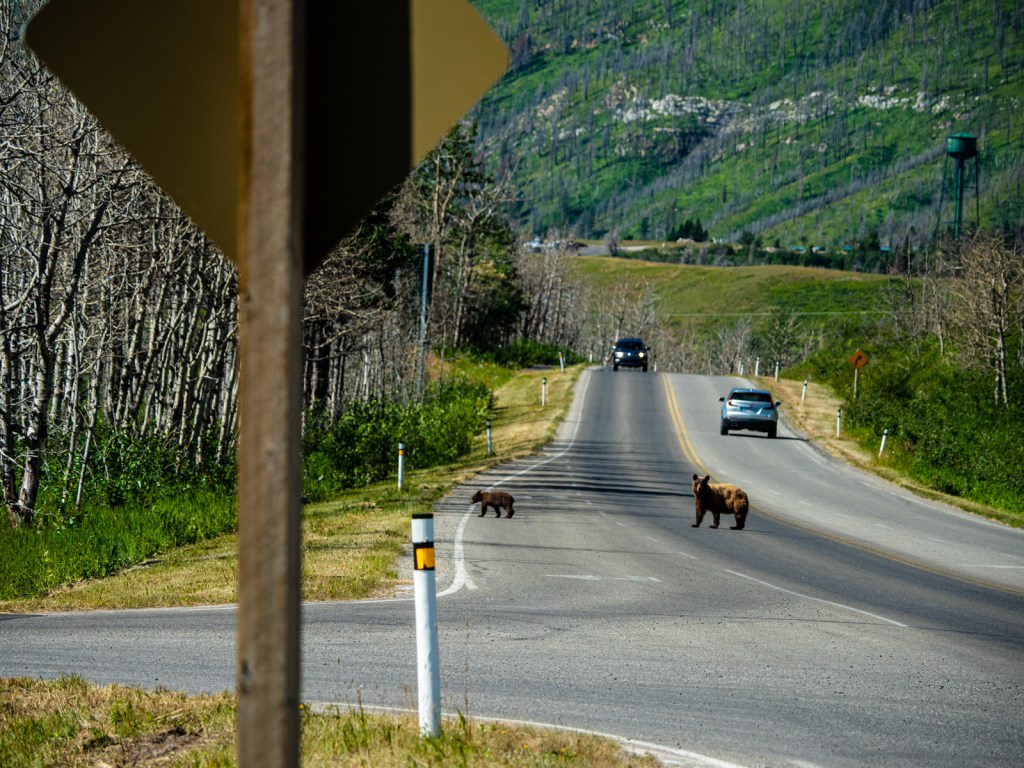
Bears & Other Wildlife
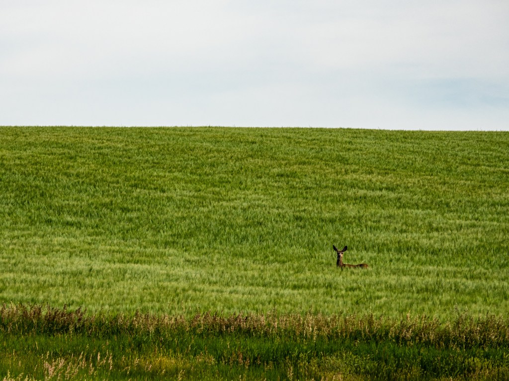
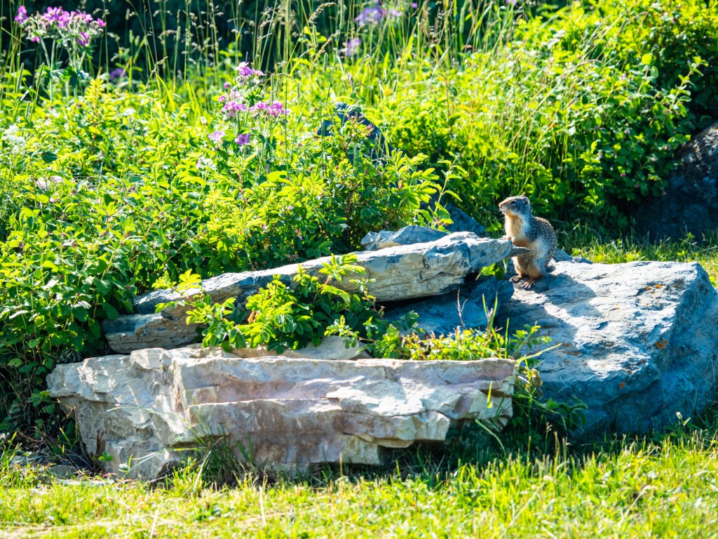
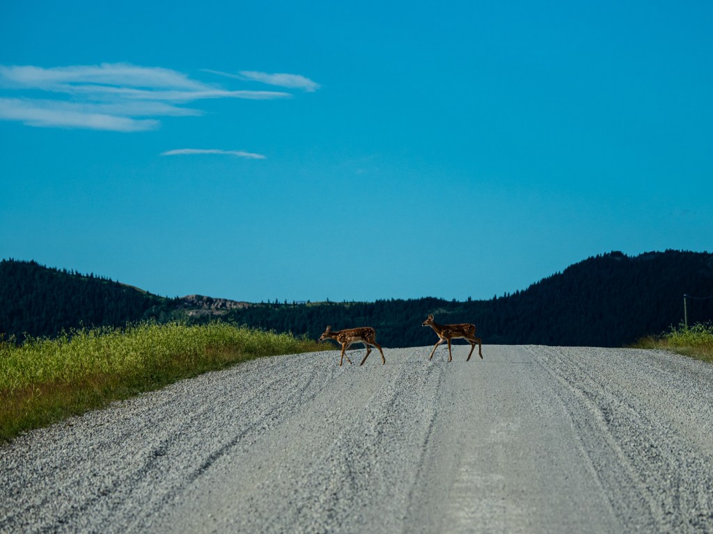
The Flathead region is famous for its high population of grizzly bears. Carry bear spray and make noise as you ride through this region. Make sure to keep your food well away from your tent and hang it up at night or keep it in a bear-proof bag. You may also encounter black bears, cougars, moose, and deer.
Where to start?
I started at the Elko Motel and was allowed to park my car there for the week for $10. Other potential starting points include Pincher Creek and Crowsnest Pass.
Time
I rode the route in eight days, though this included a short half-day riding into Waterton National Park so I could go for an overnight hike there. A seven-day pace will make the ride enjoyable, but it can definitely be done faster or slower.
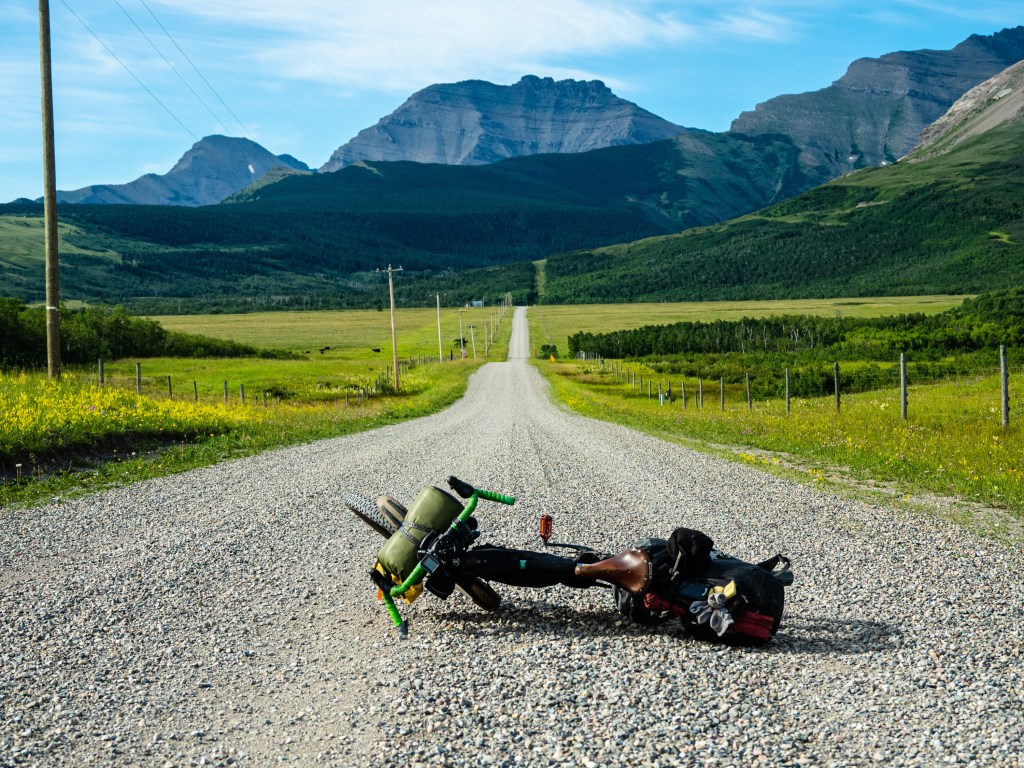
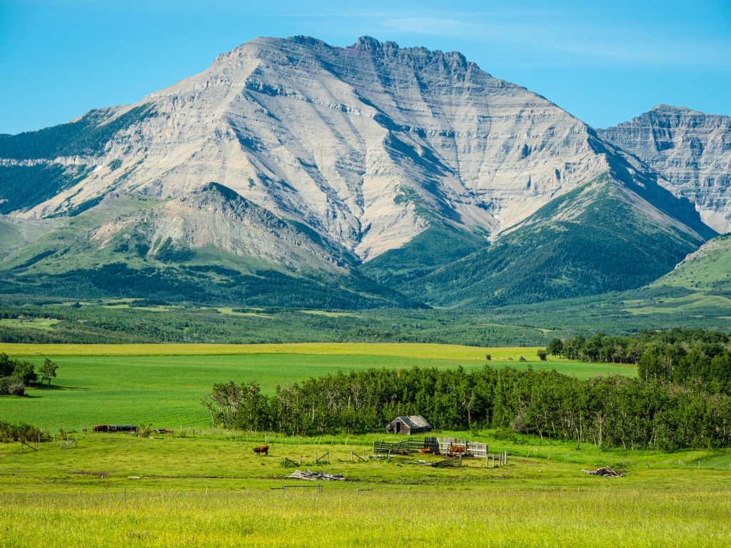
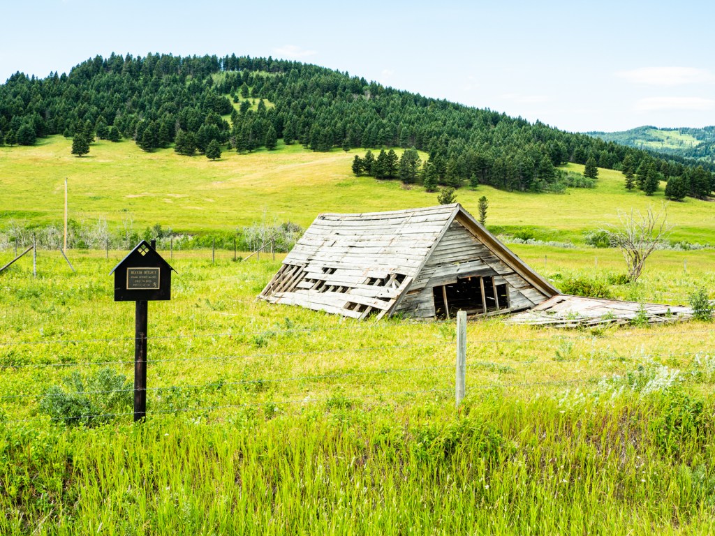
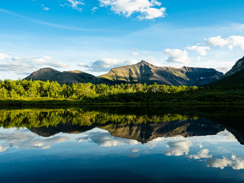
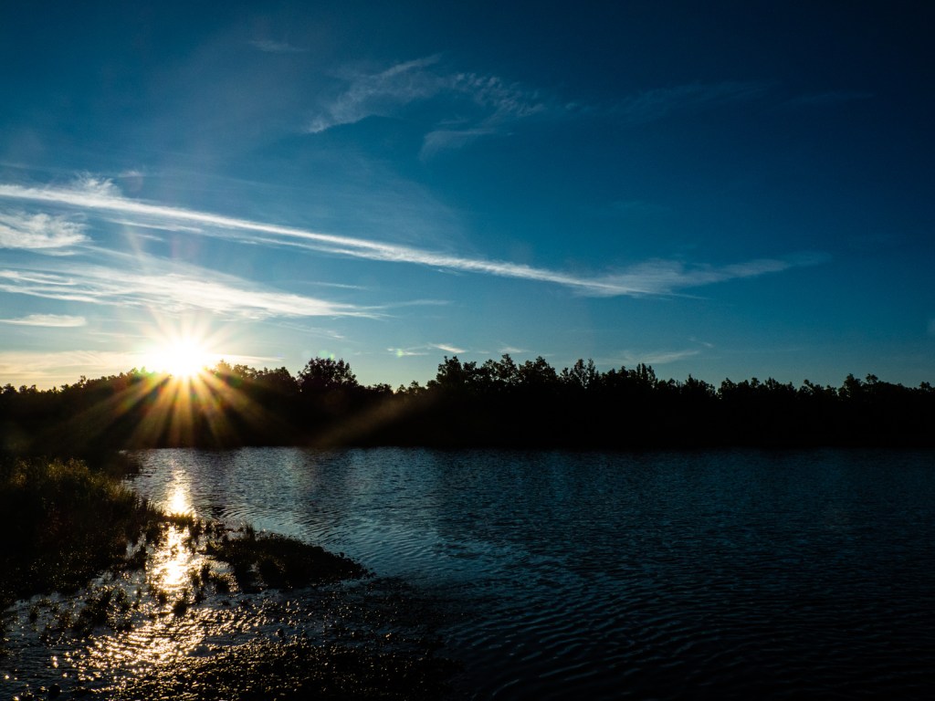
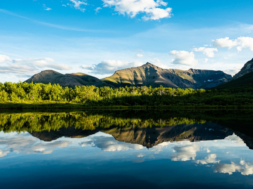
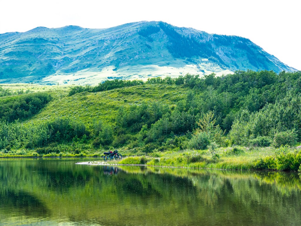
Gallery


Route Map
Click here for the link if the embed isn’t working.

Leave a comment