I was pretty happy after my three-day crossing from Andamarca to Challuanca. The route was remote, diverse, and spectacular, and I wondered if the rest of the trip would live up to those highs. Fortunately, the next five days descending into the depths of Cotahuasi Canyon would continue the stretch of incredible riding I’d been enjoying so far.
I left Challuanca a little later than planned after making one more tour of local hardware stores in the hopes of repairing my broken Brooks saddle. Unfortunately, I couldn’t find a suitable replacement for the tension shackle, so I was left with saggy saddle for the rest of my ride.
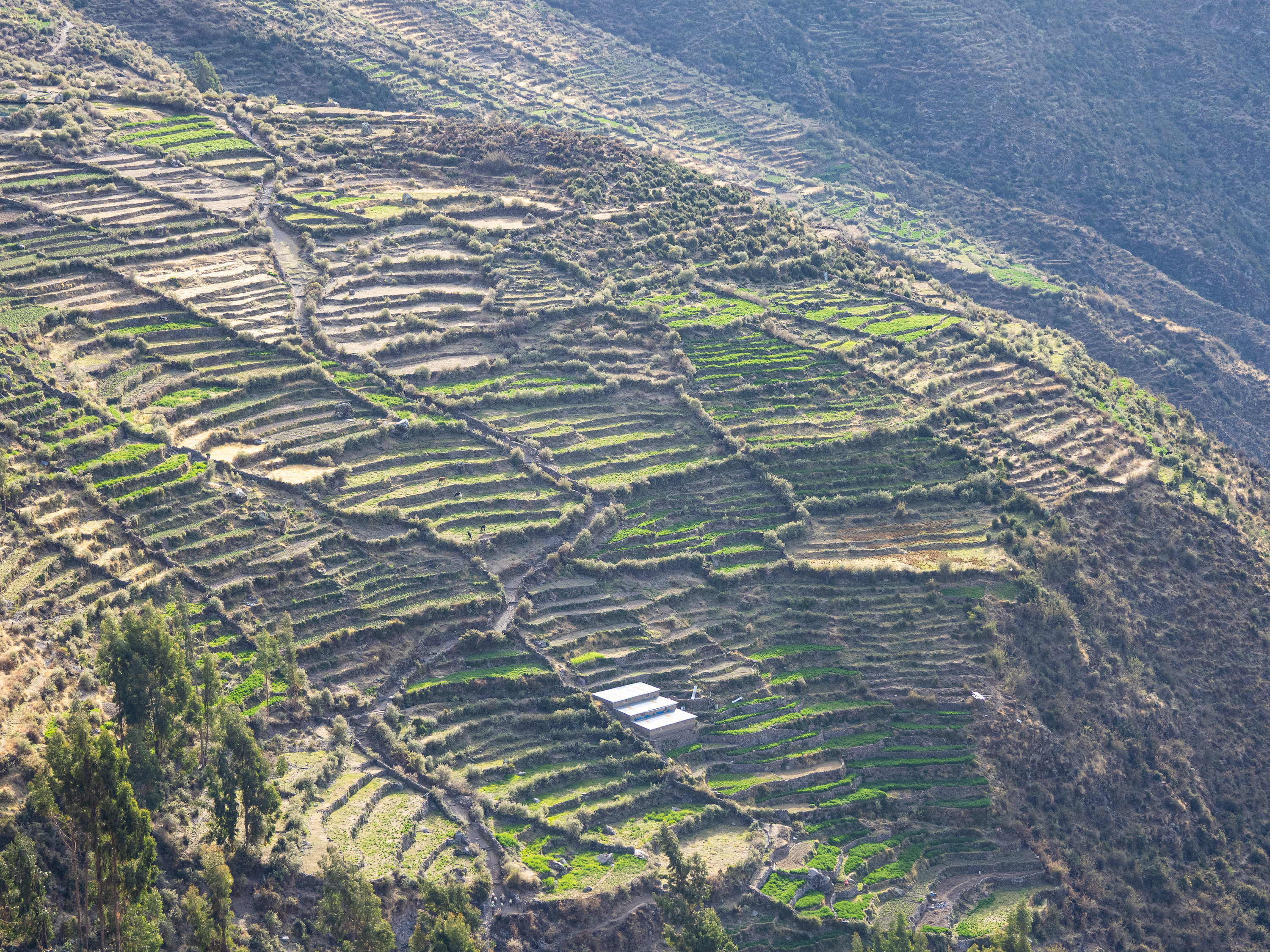
The first day out of Challuanca was one of the least interesting days of the trip. Carrying four days of food, I cruised down the highway, then turned off onto a paved secondary road and began a 1,600m climb back into the puna. I passed through one small village that was surrounded by historic Incan terraces. Later, I had a conversation with a local drunk farmer and his sober wife that I struggled to extract myself from. I set up camp at 4,300m, and for the first time on my ride, it rained at night.
I woke up the next morning to cloudy skies. It was the first morning of the trip that wasn’t sunny and I left camp with a bit of dread. The Peruvian weather service had issued a storm warning for the southeastern Andes and my route was along the periphery of their warning map. On top of that, after leaving camp, I would be staying above 4,300m elevation for the next 135 km. My biggest fear was a dreaded Andean thunder storm.
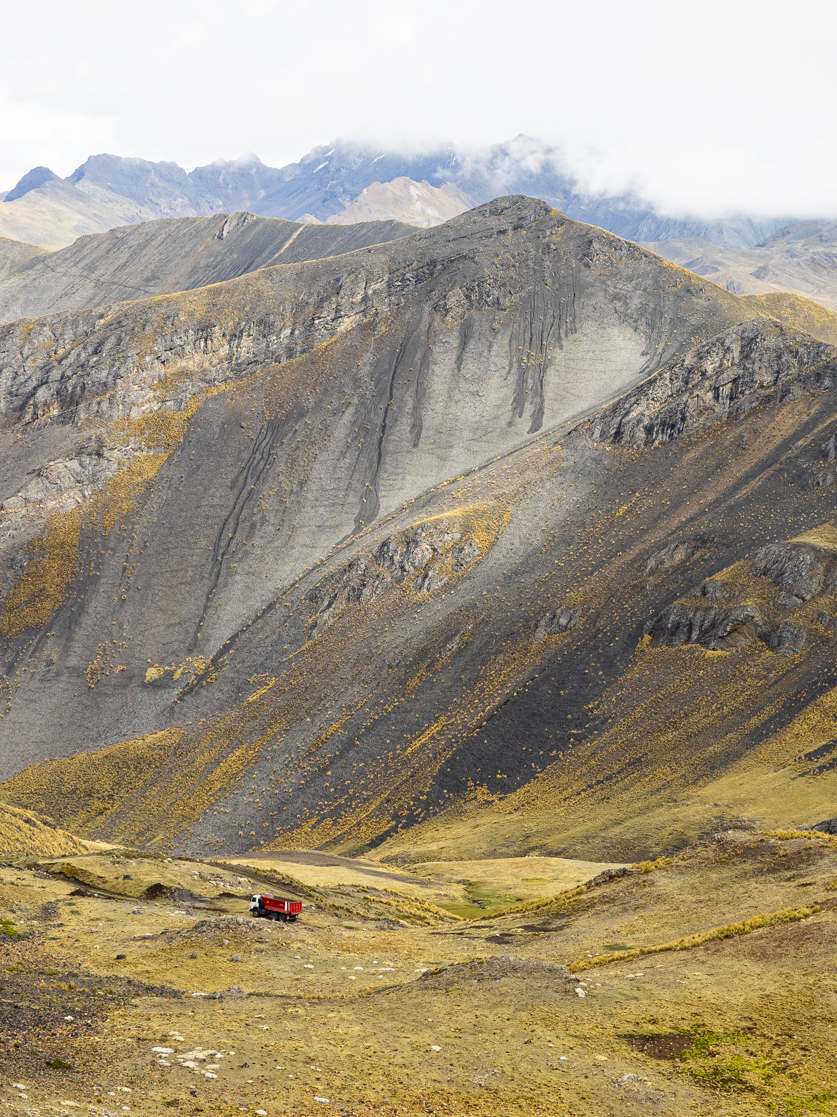
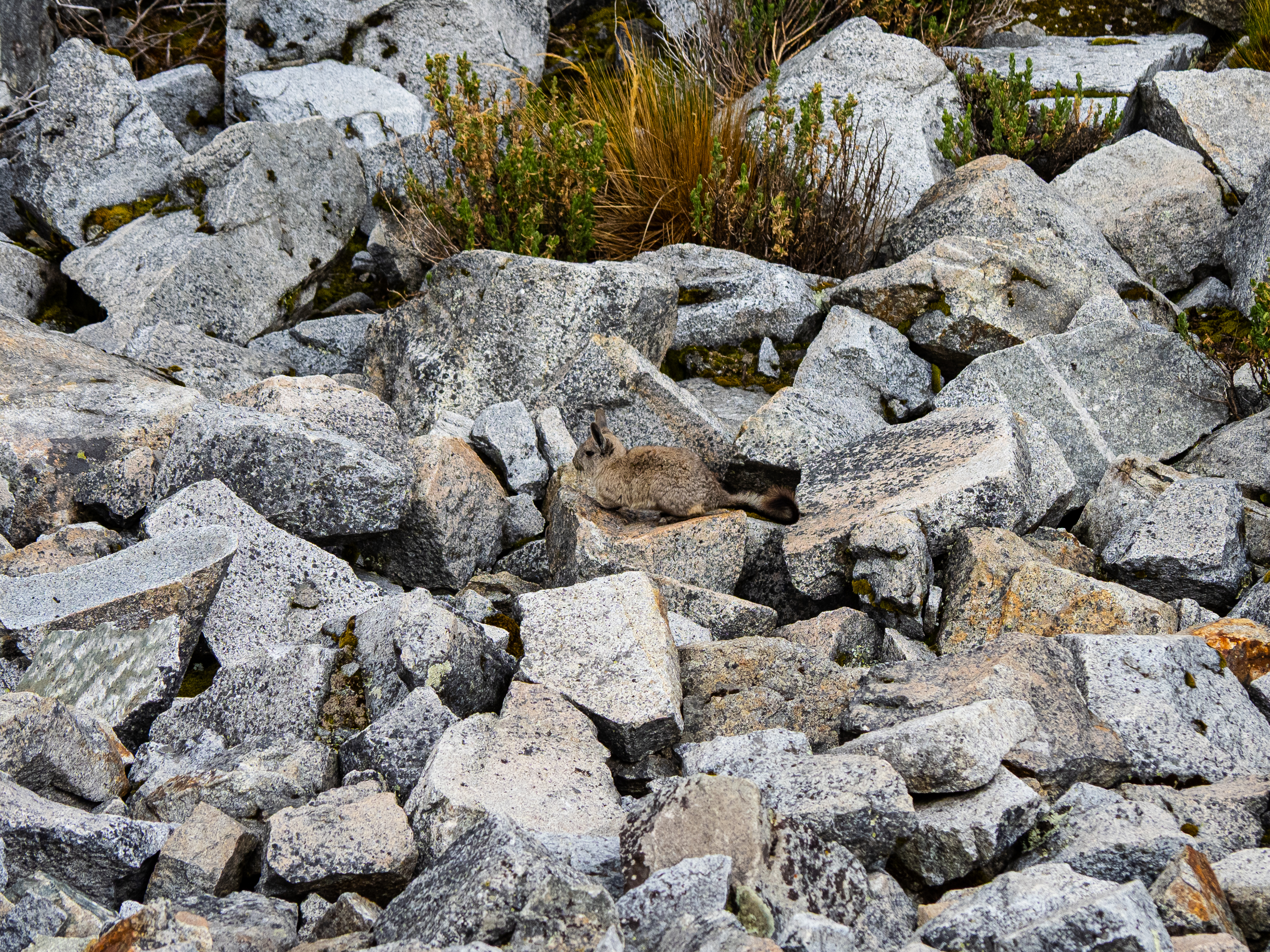
I completed the paved climb and turned off onto a rough dirt road. For the next 12 km, I navigated the rocky terrain, climbing to over 4,700m before descending into a small valley. I saw viscachas scurrying about the scree fields and a few mining trucks, but very few other signs of life.
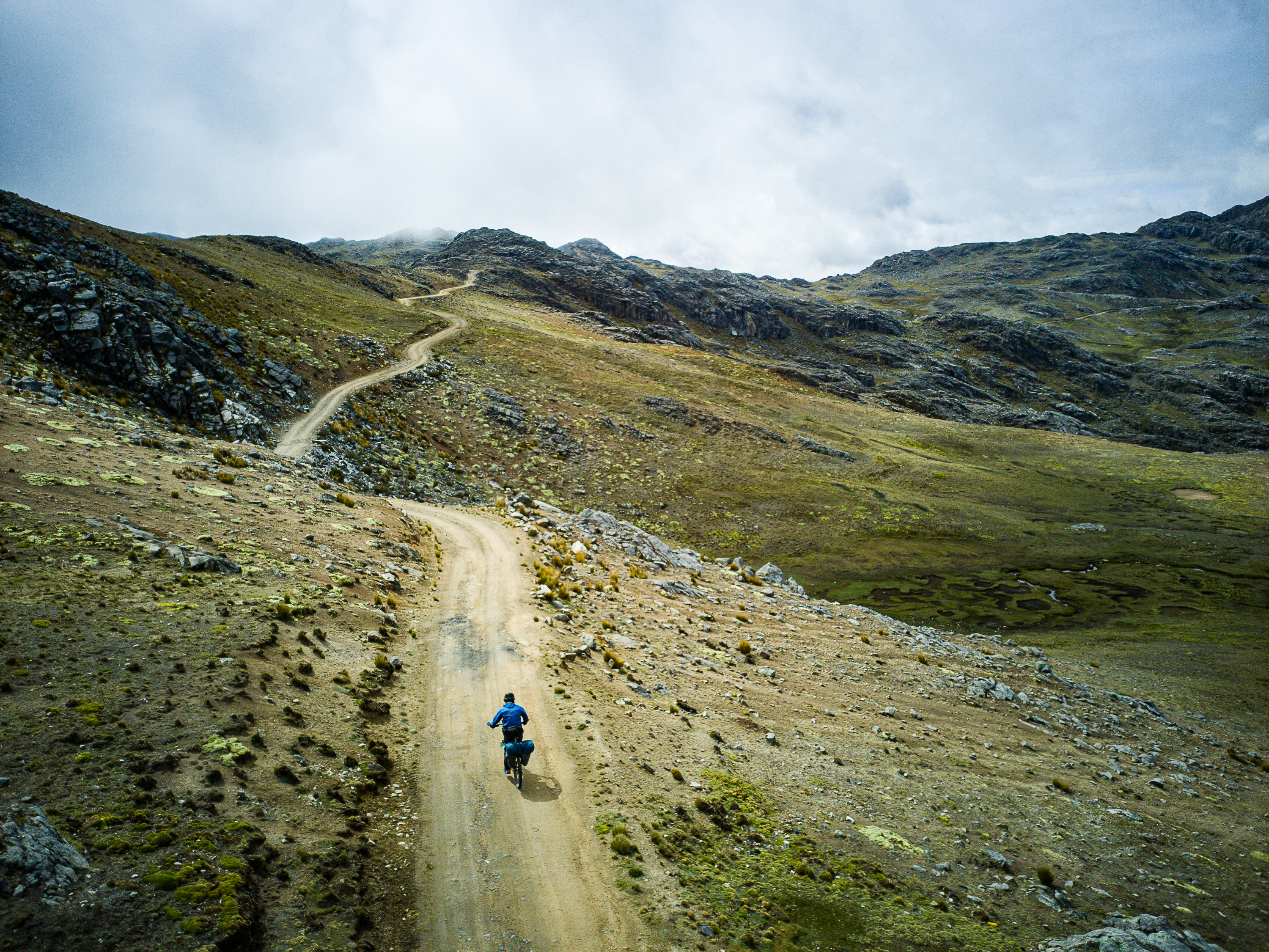
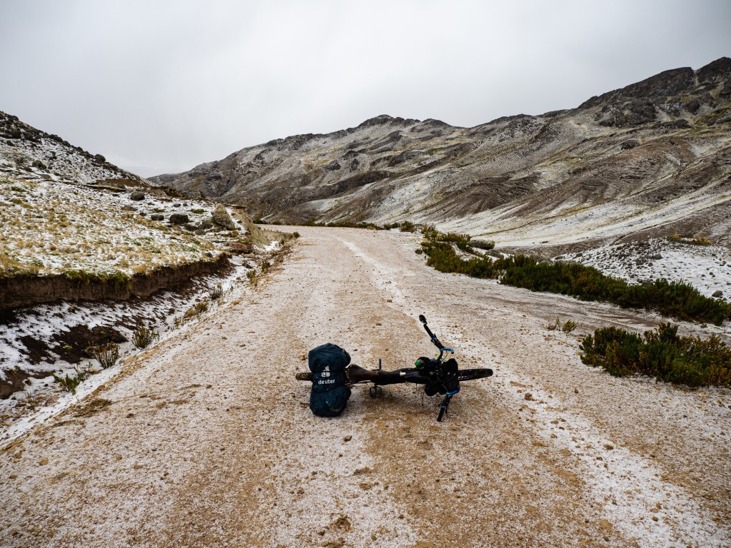
The road improved greatly after the valley and I climbed back up onto a small plateau where there was a surprise burst of activity. I got some quizzical looks and some people stopped to ask where I was going. As I ascended, the clouds opened up and I was pelted by a downpour of hail. With nowhere to hide, I kept going up to the next pass, hoping the storm would pass. Eventually, I found a scrap of plywood at the side of the road and I was able to use it as a shelter.
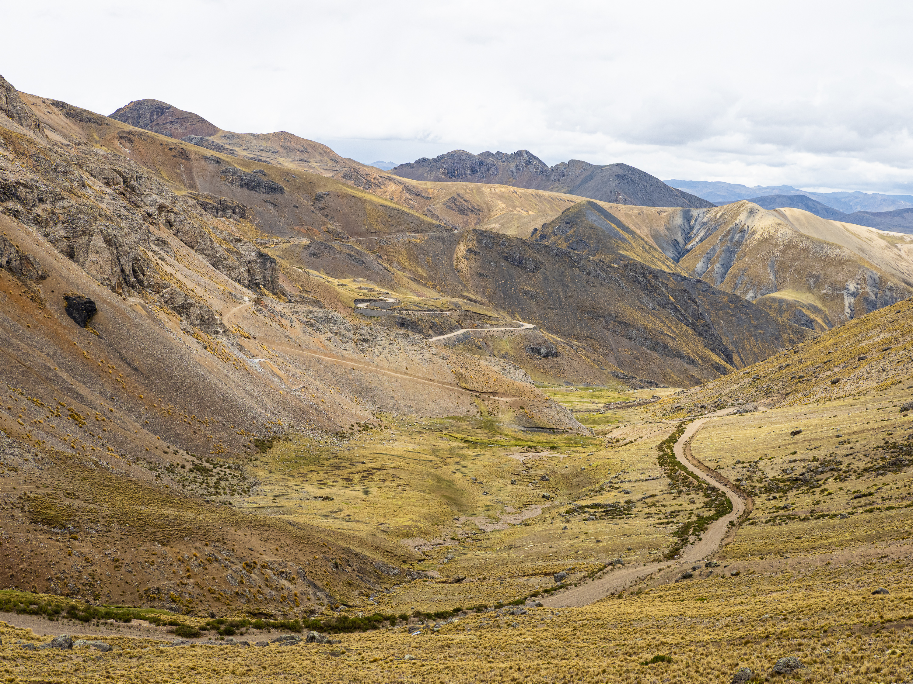
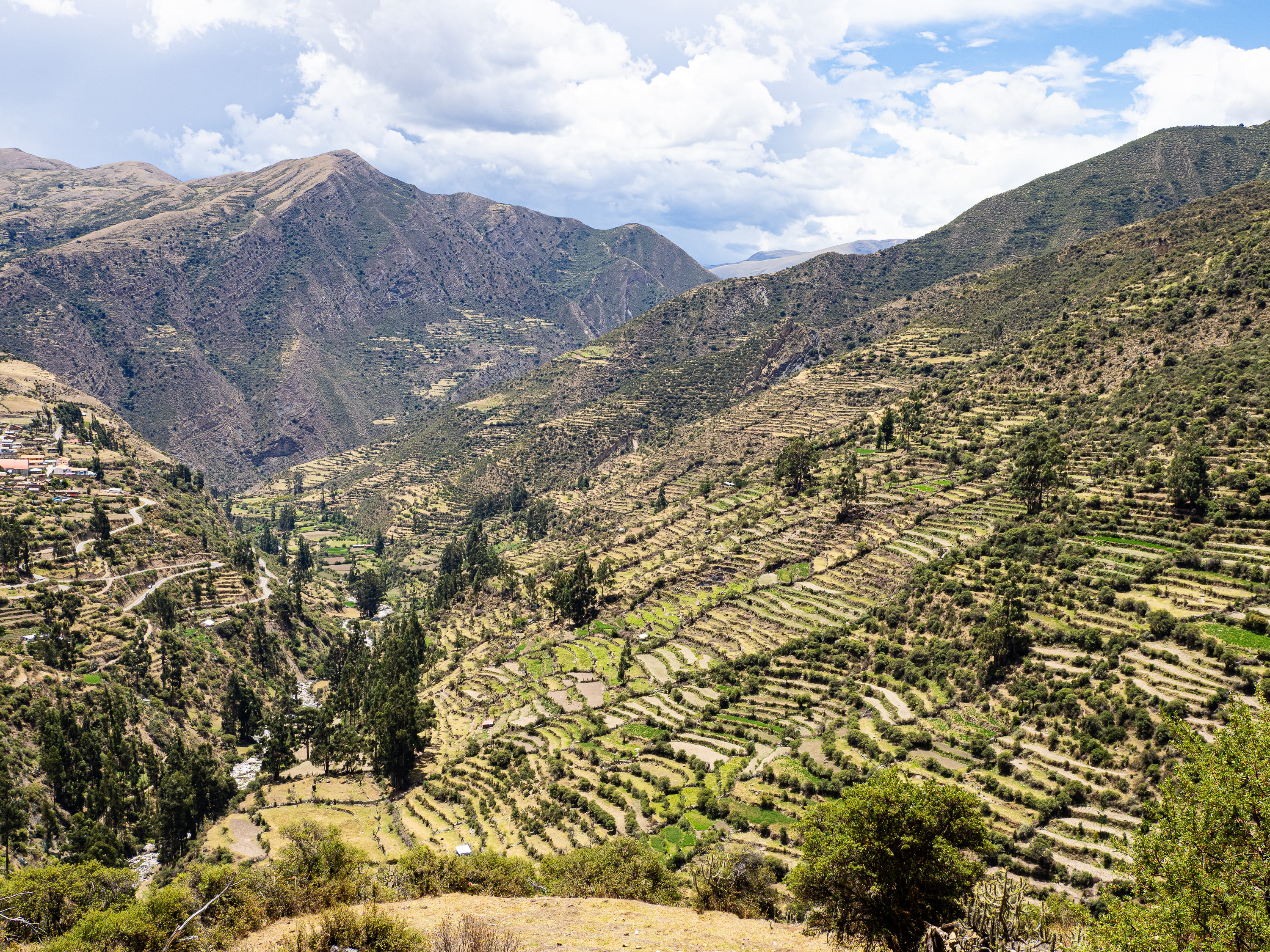
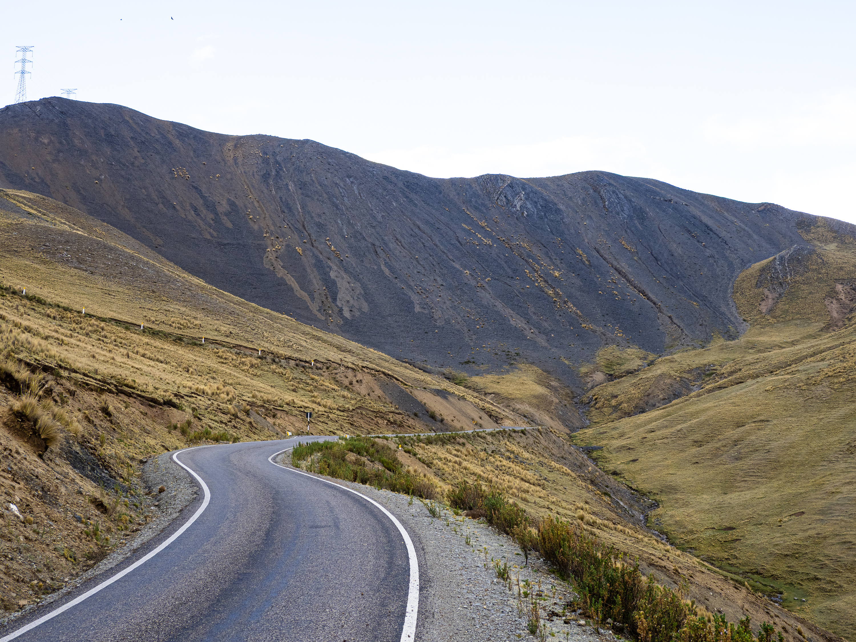
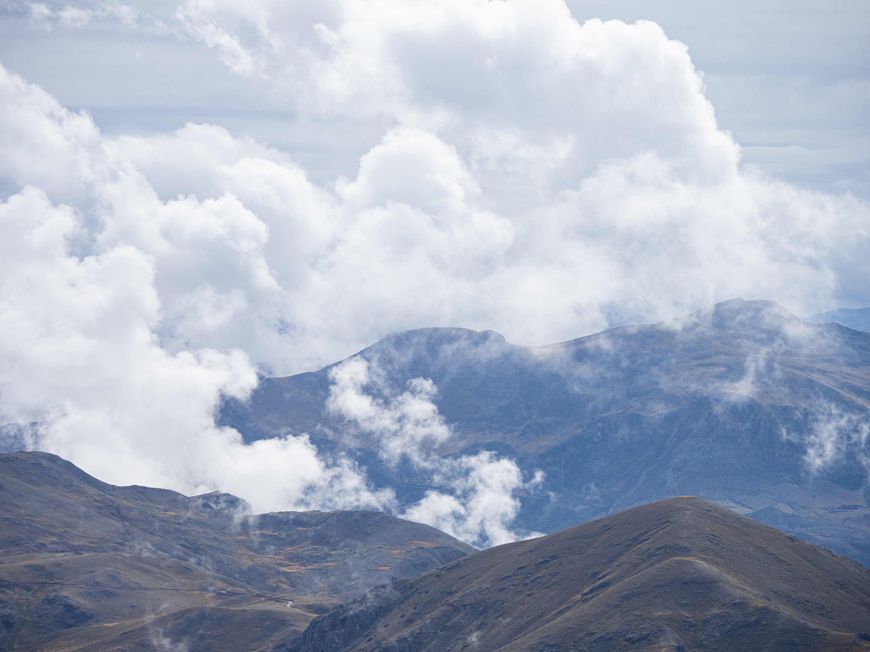
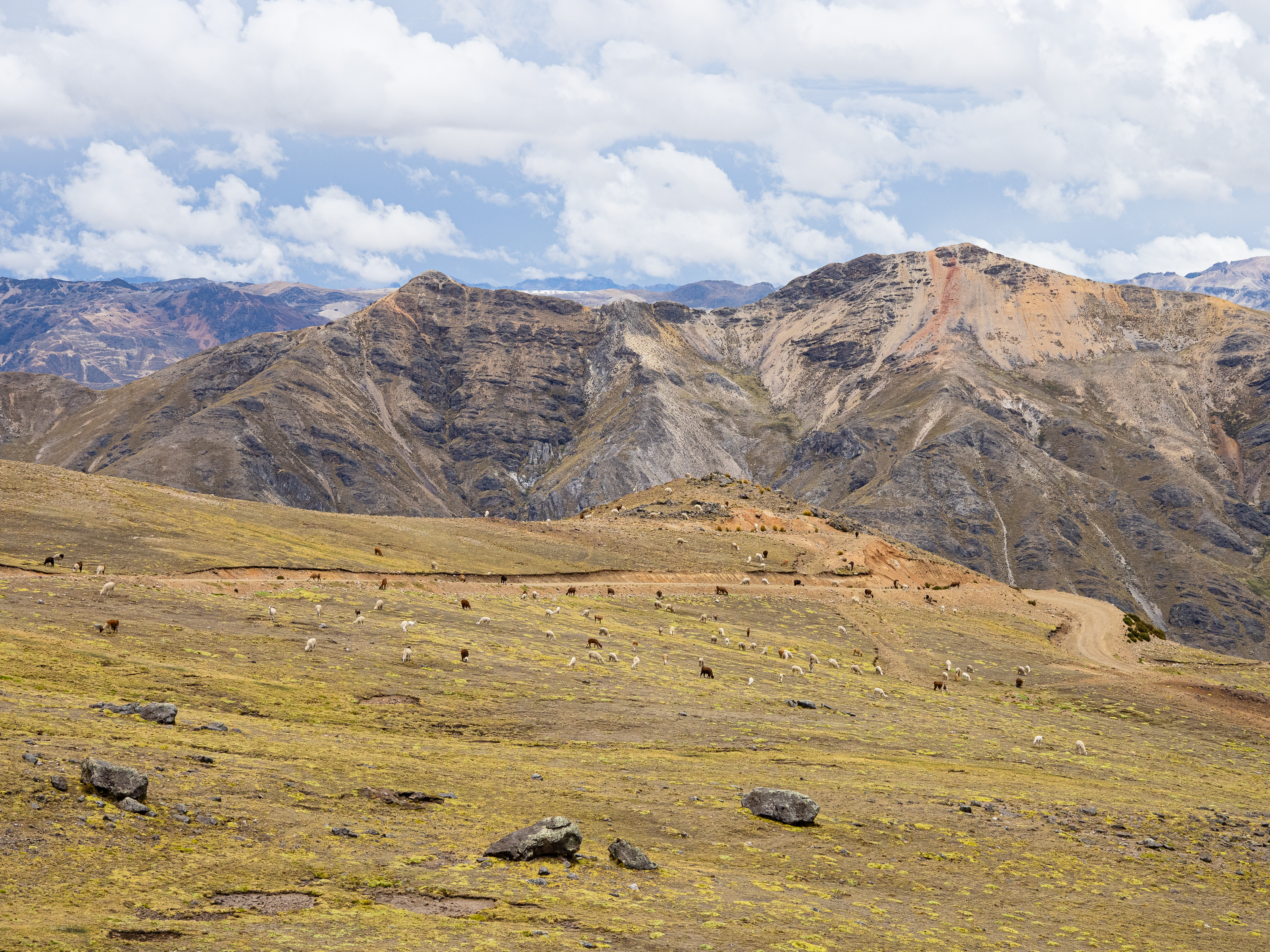
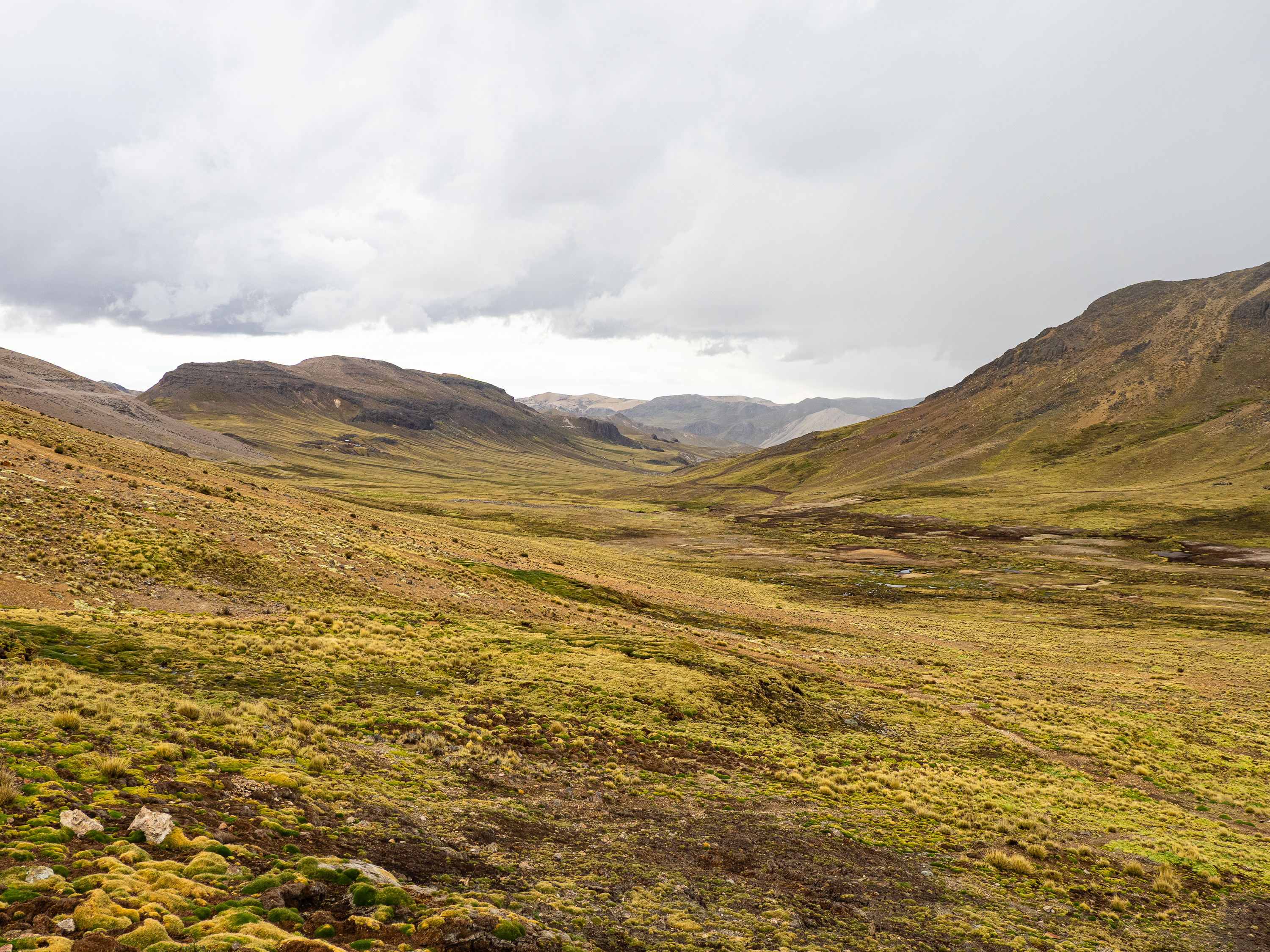
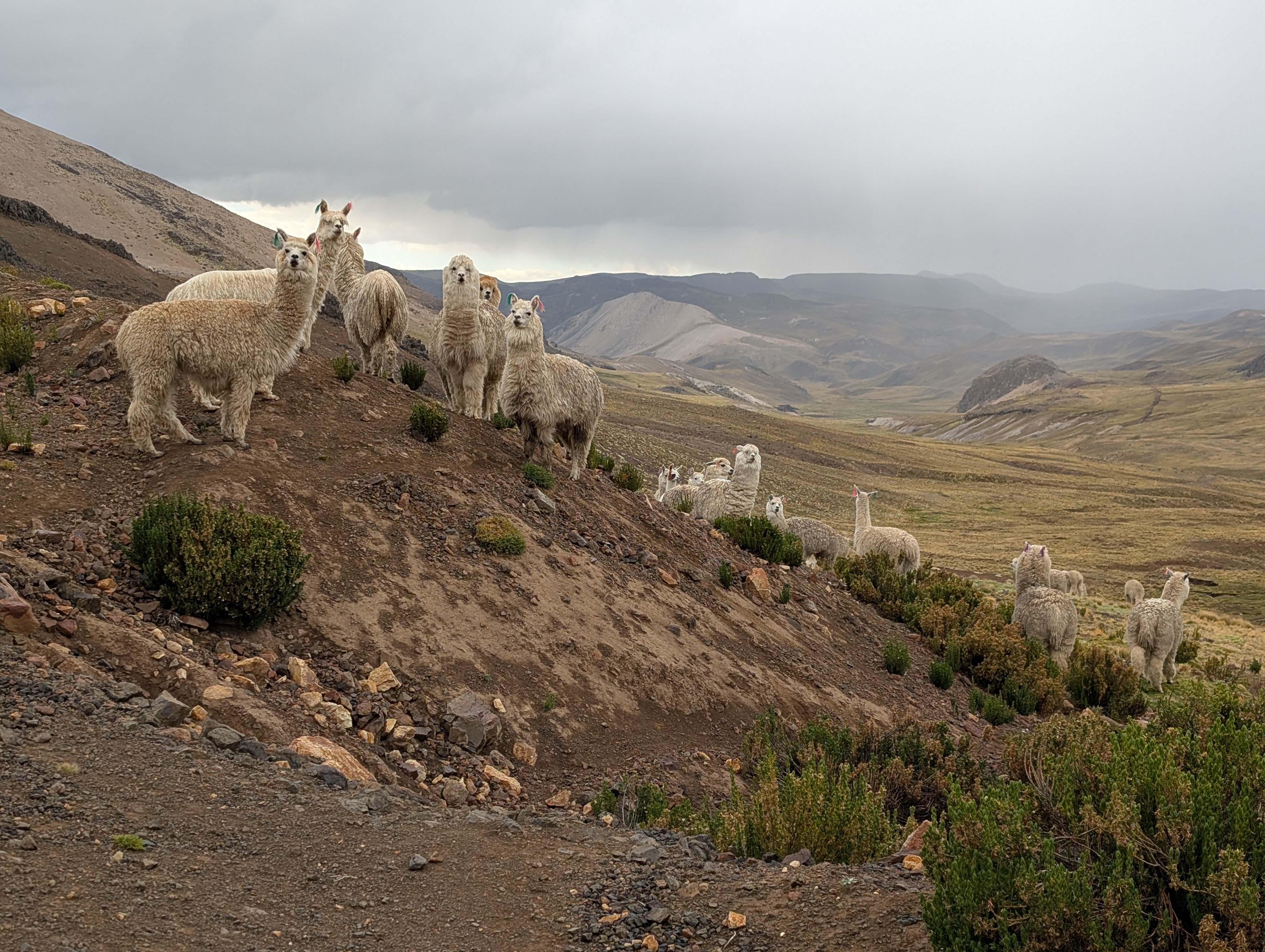
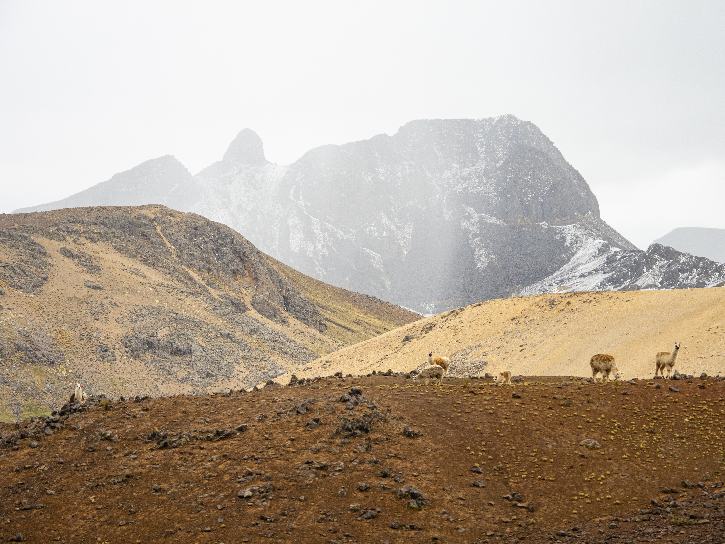
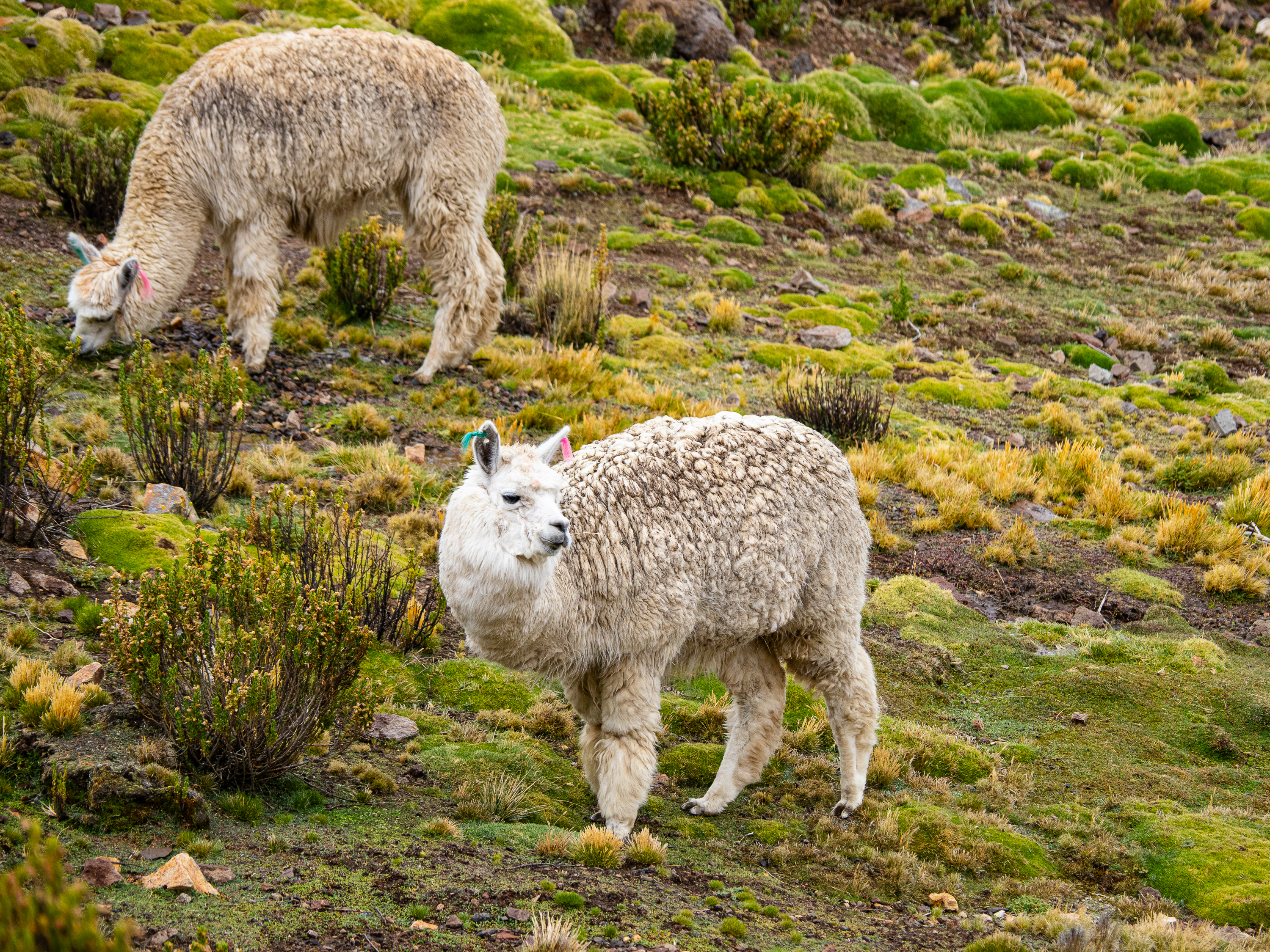
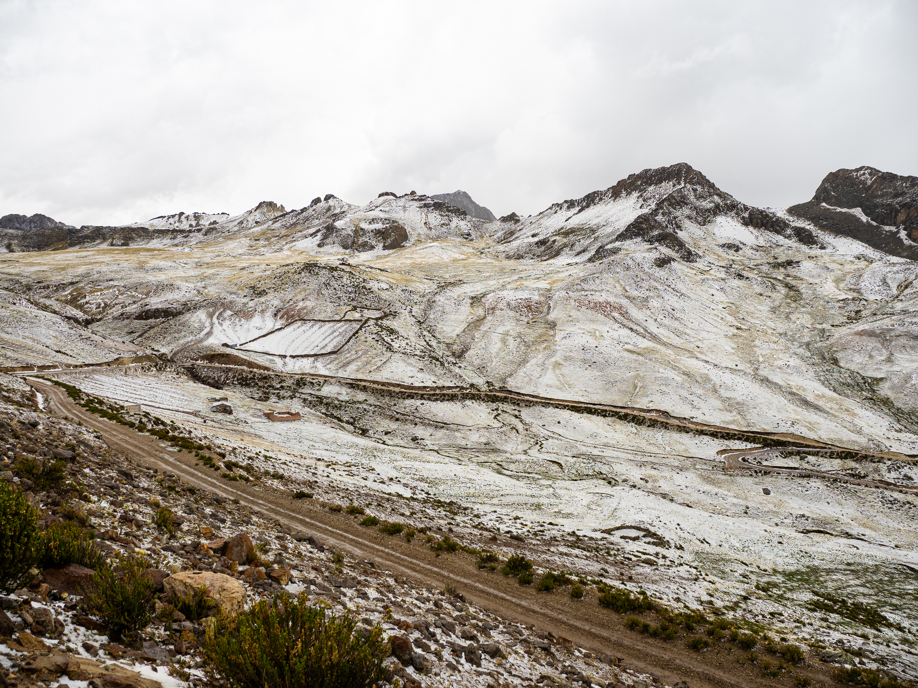
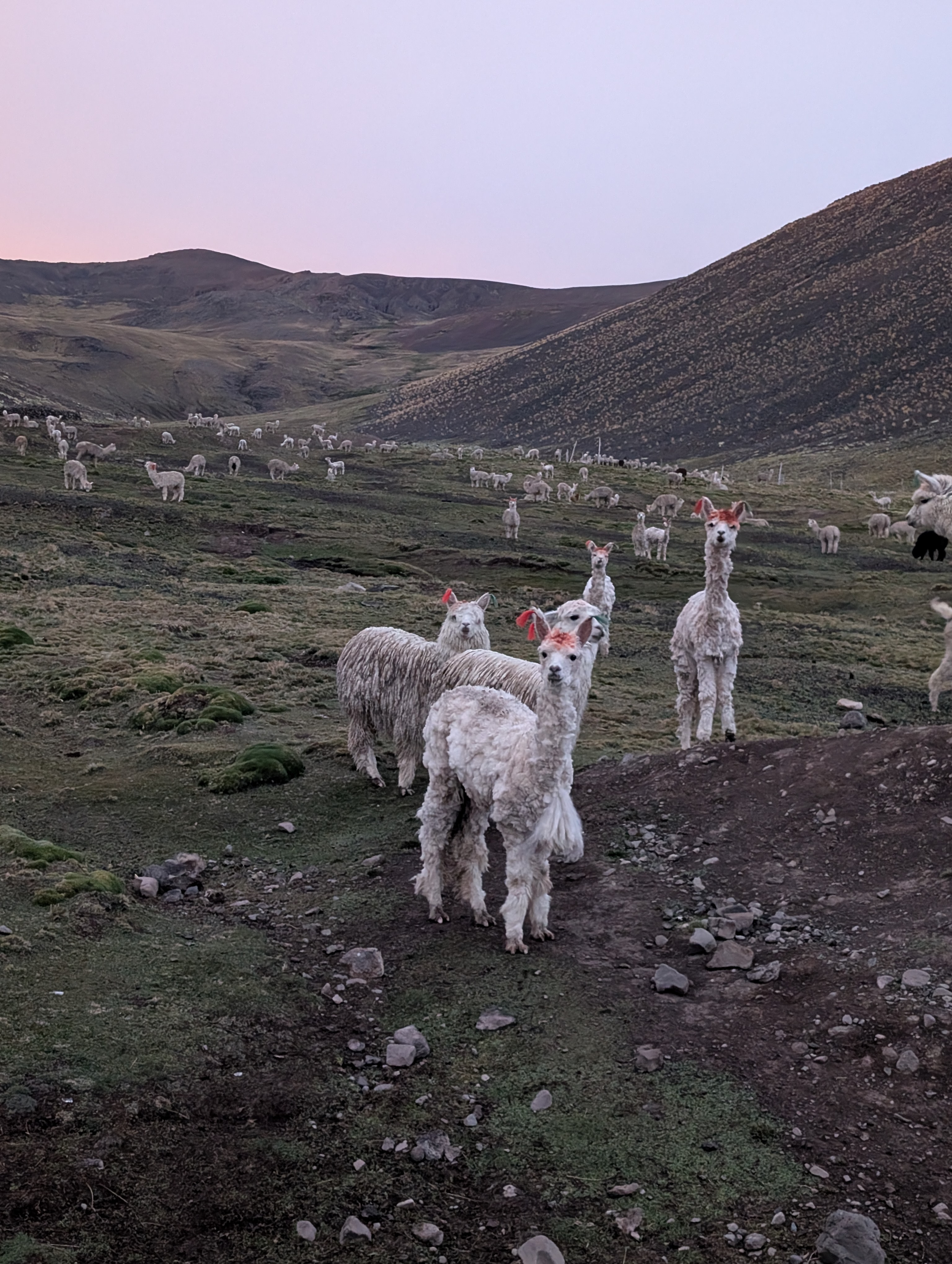
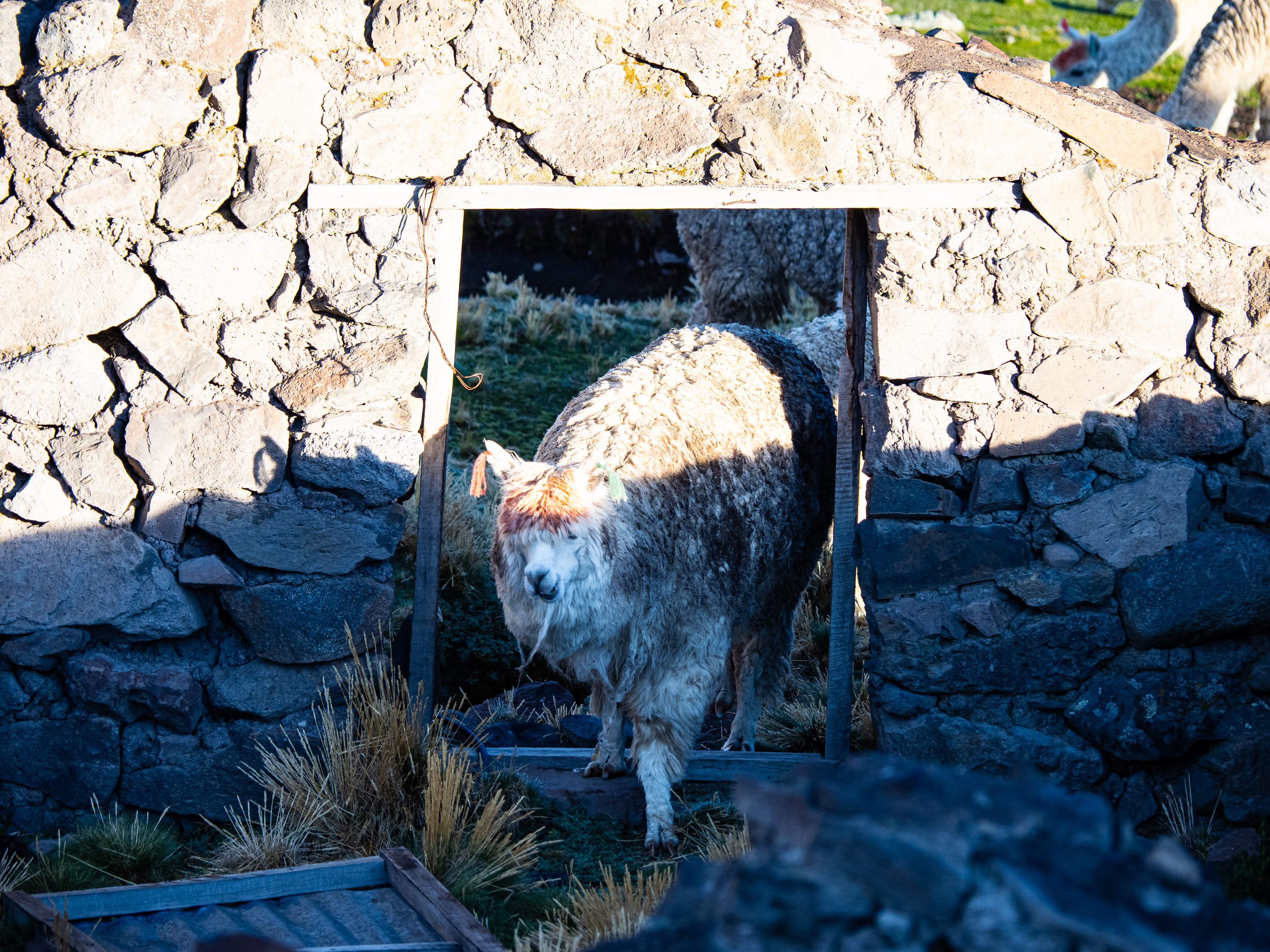
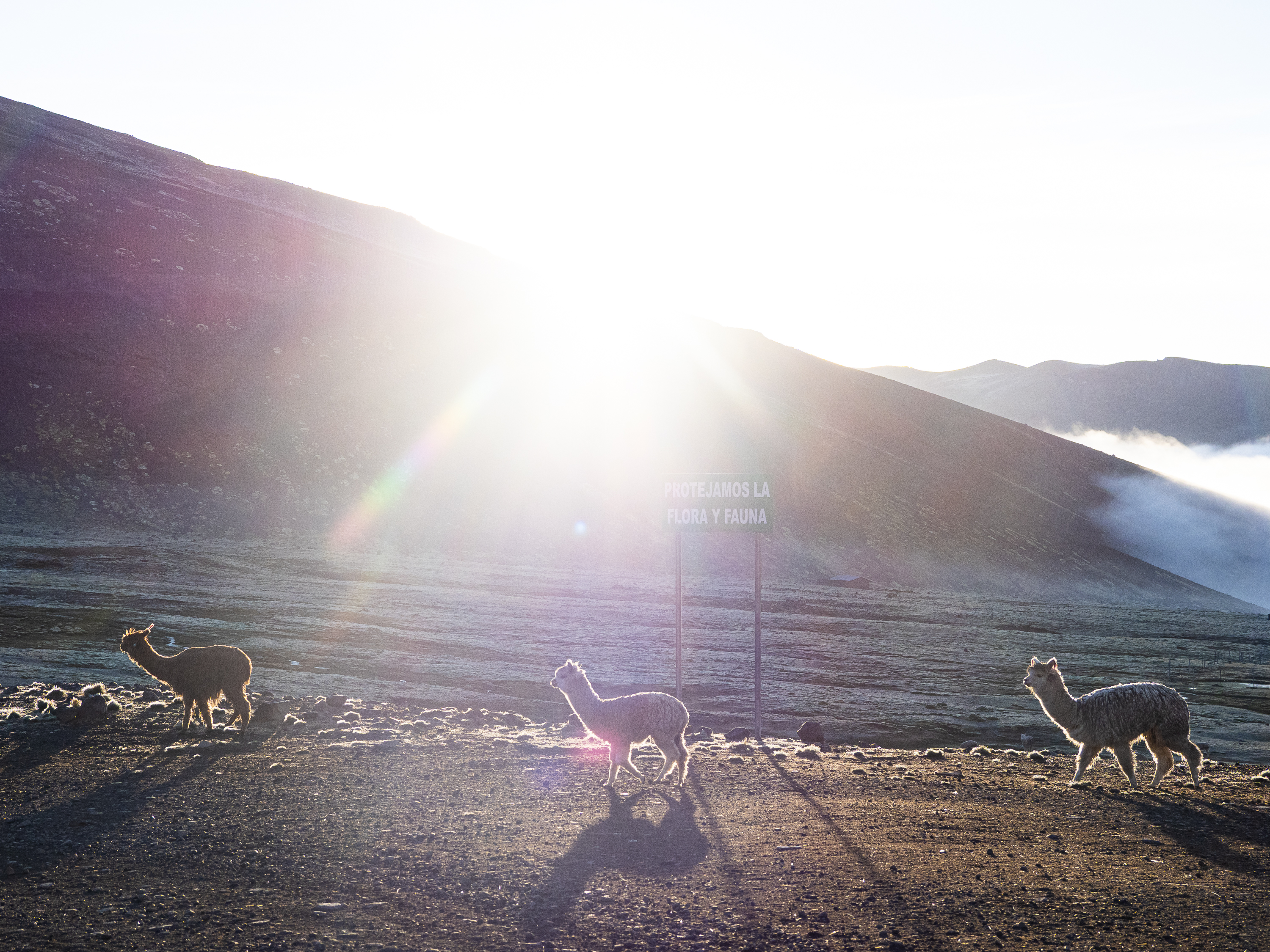
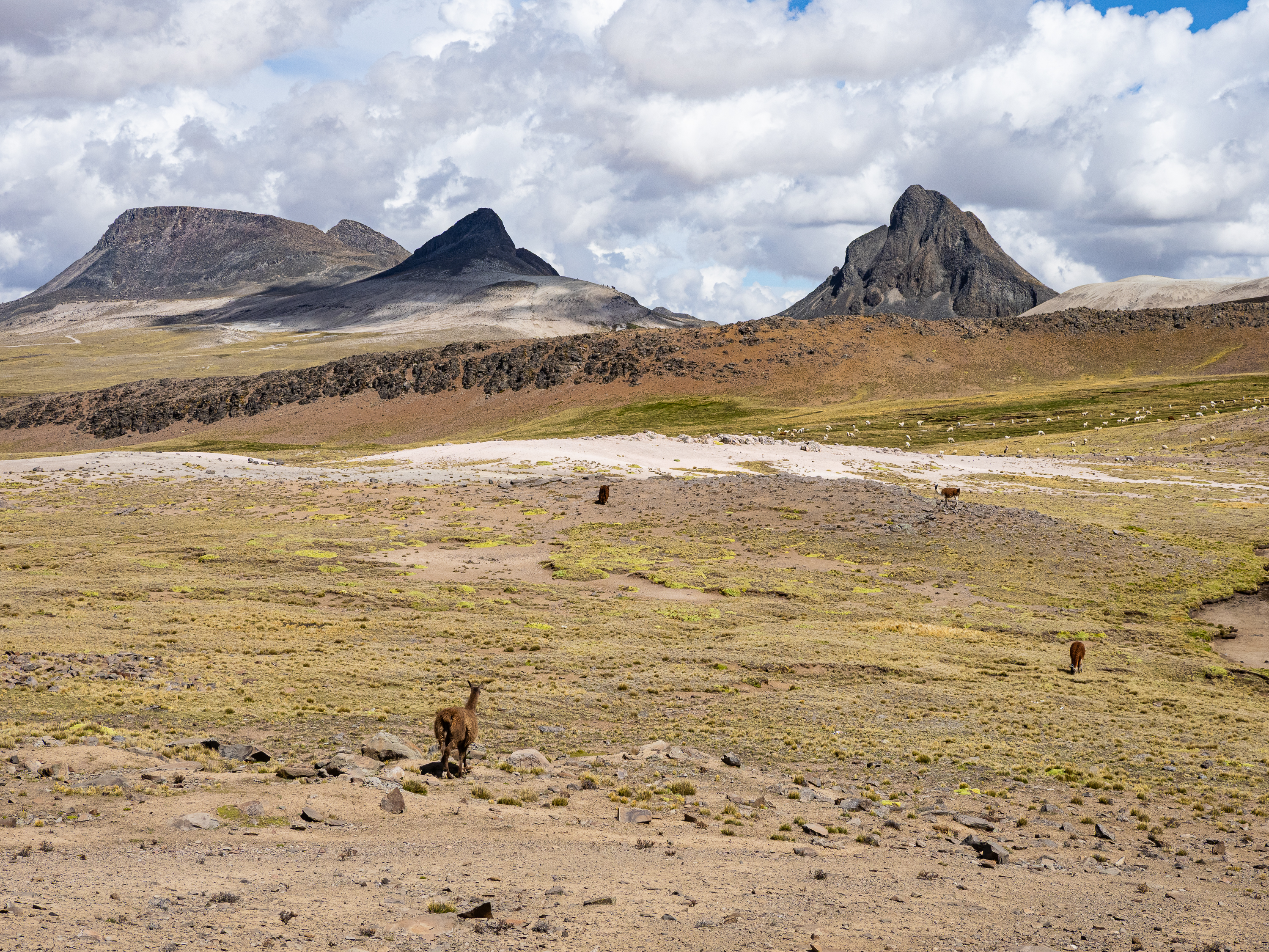
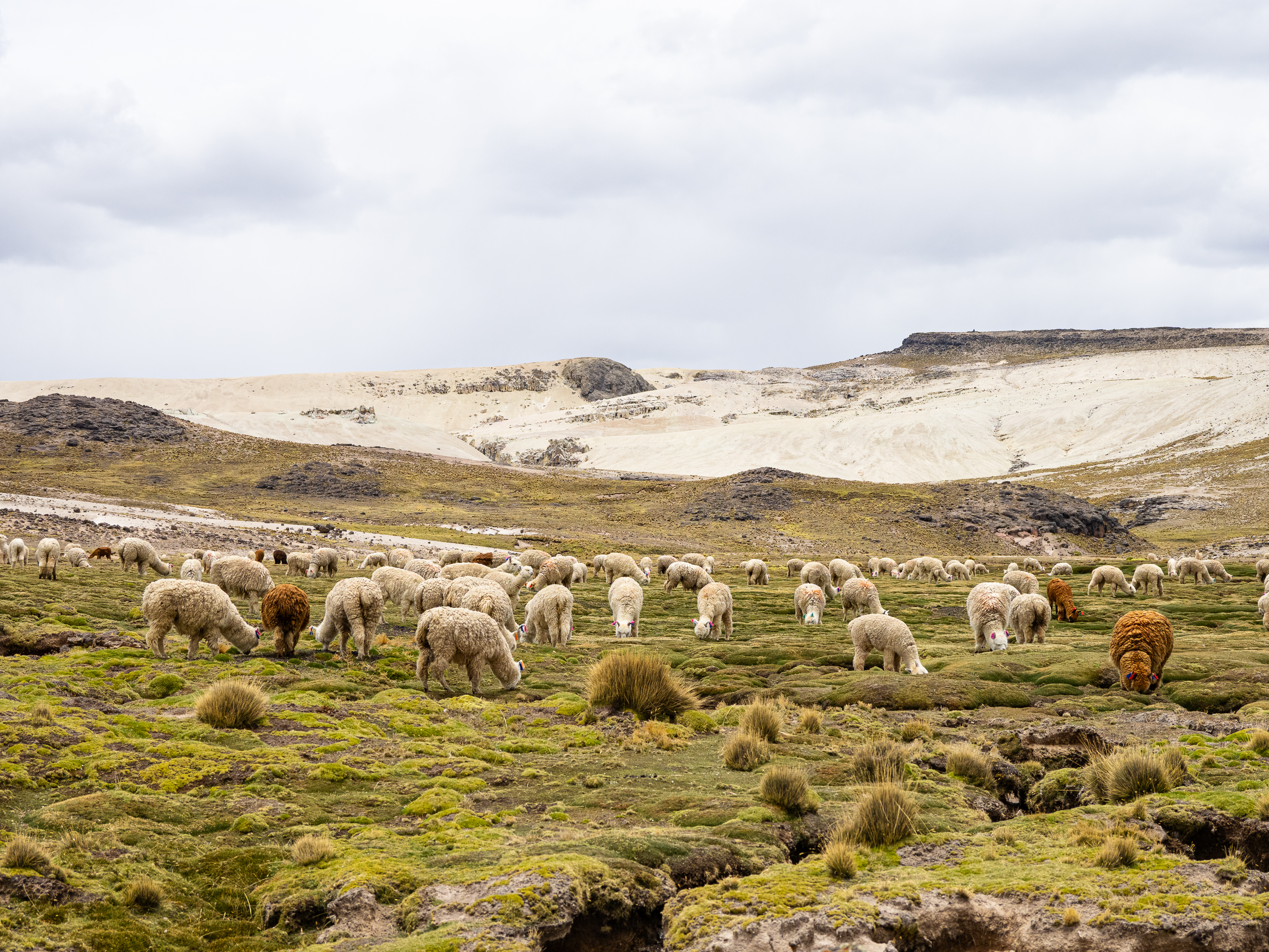
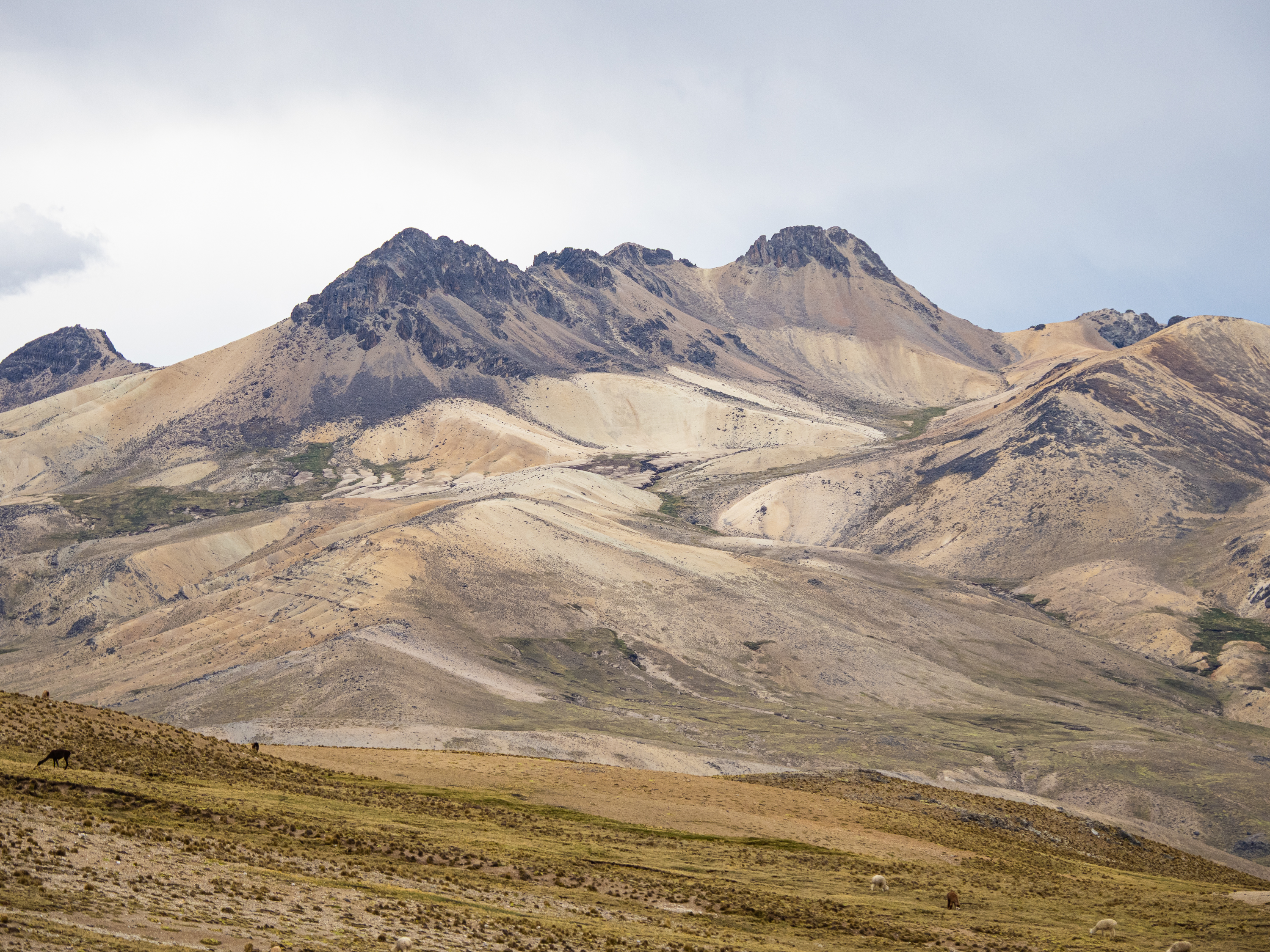
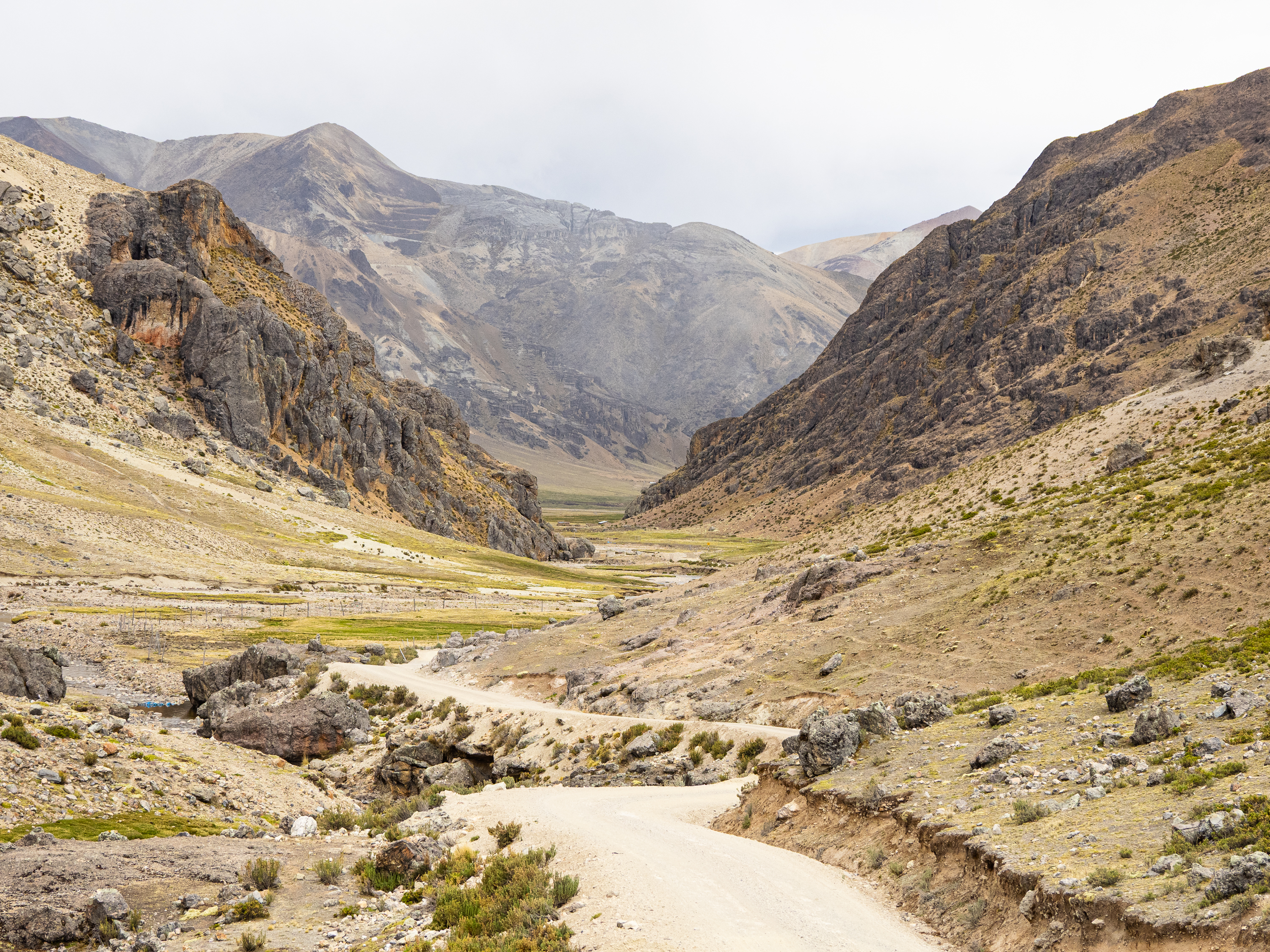
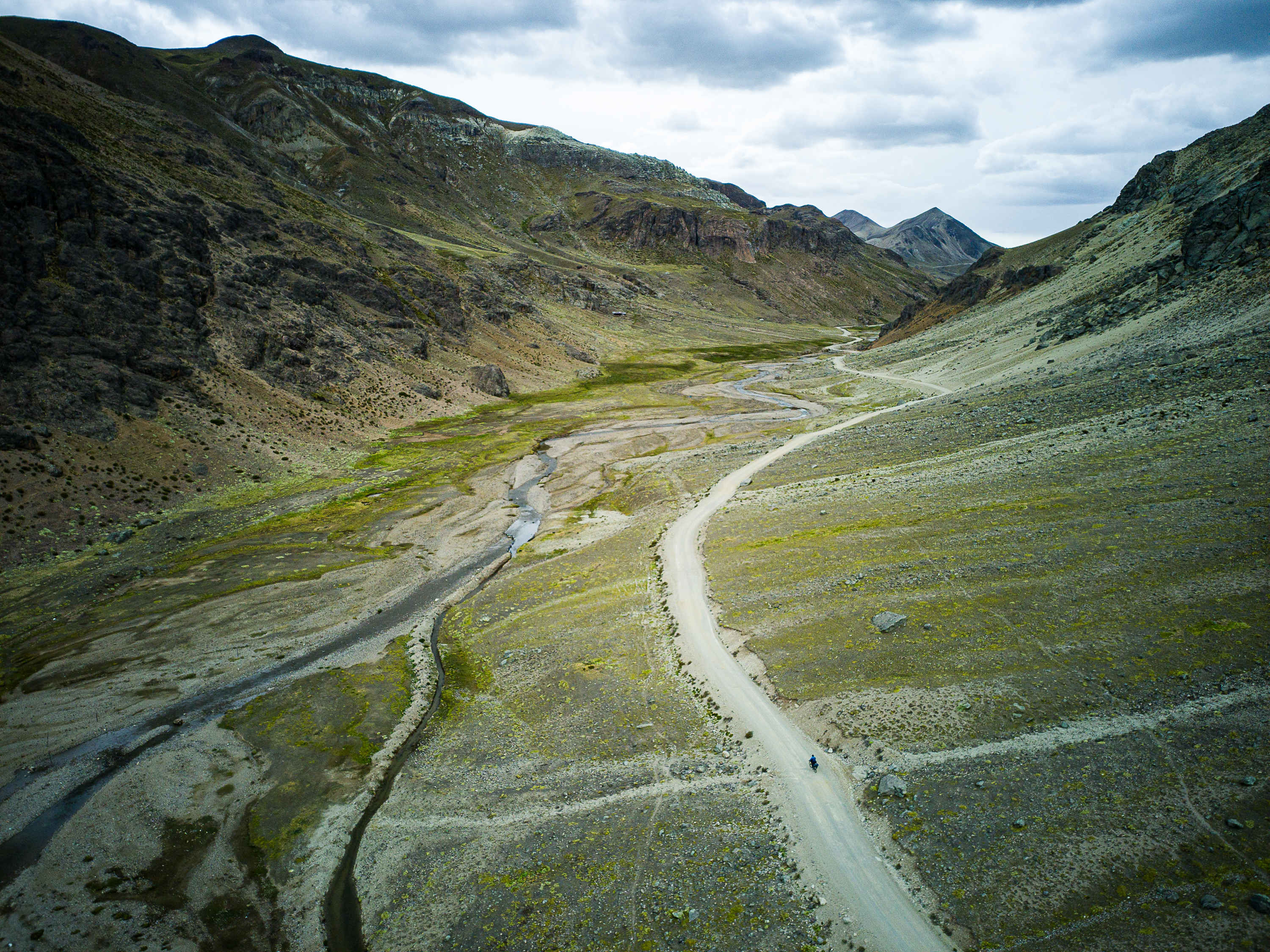
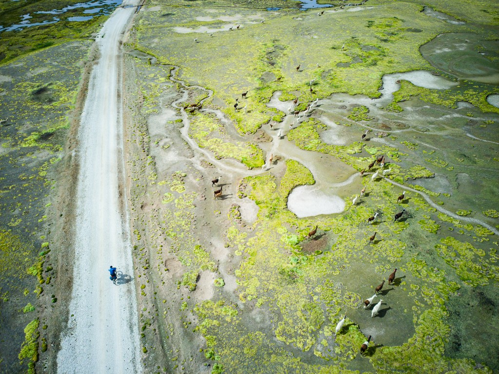
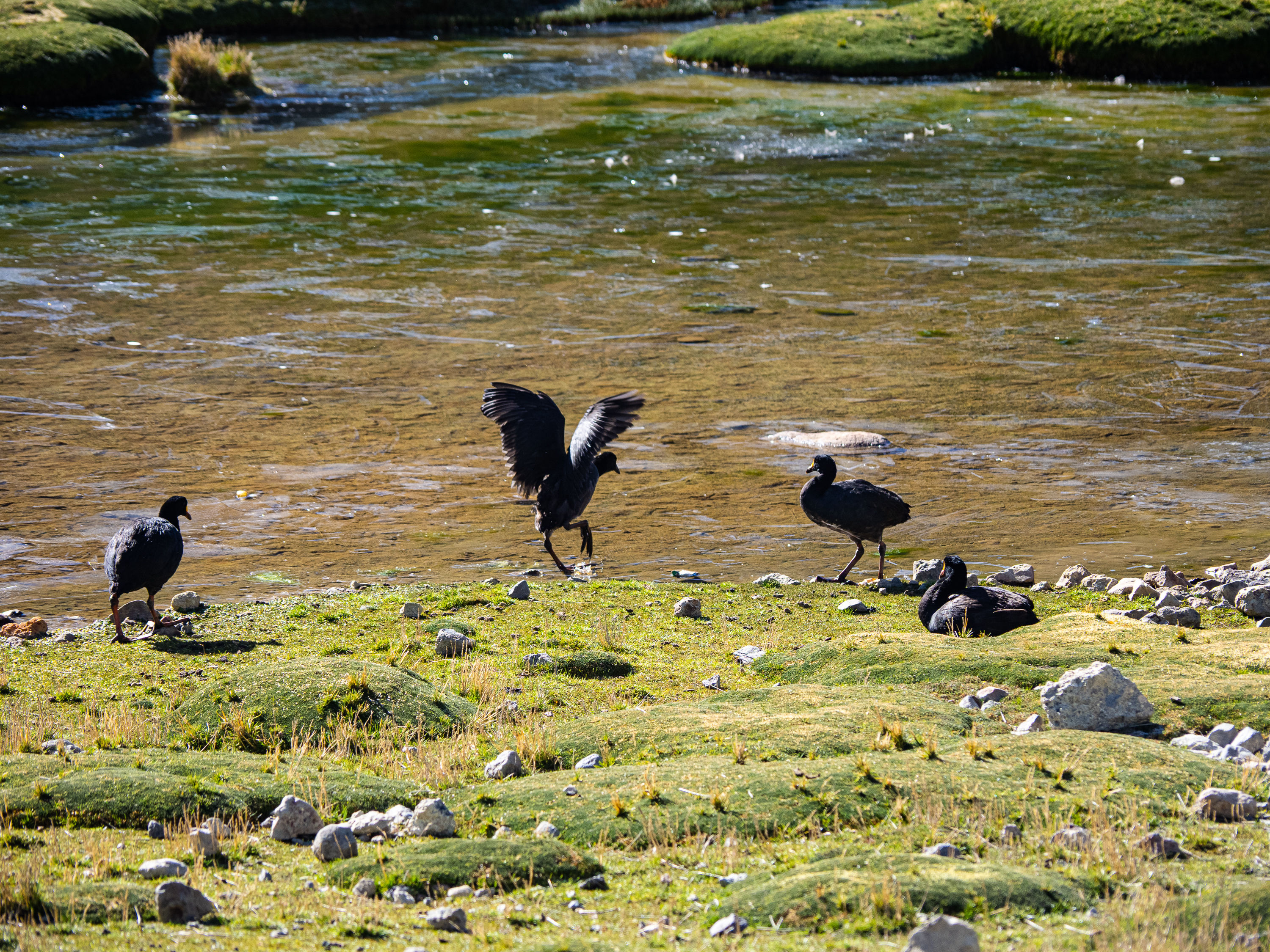
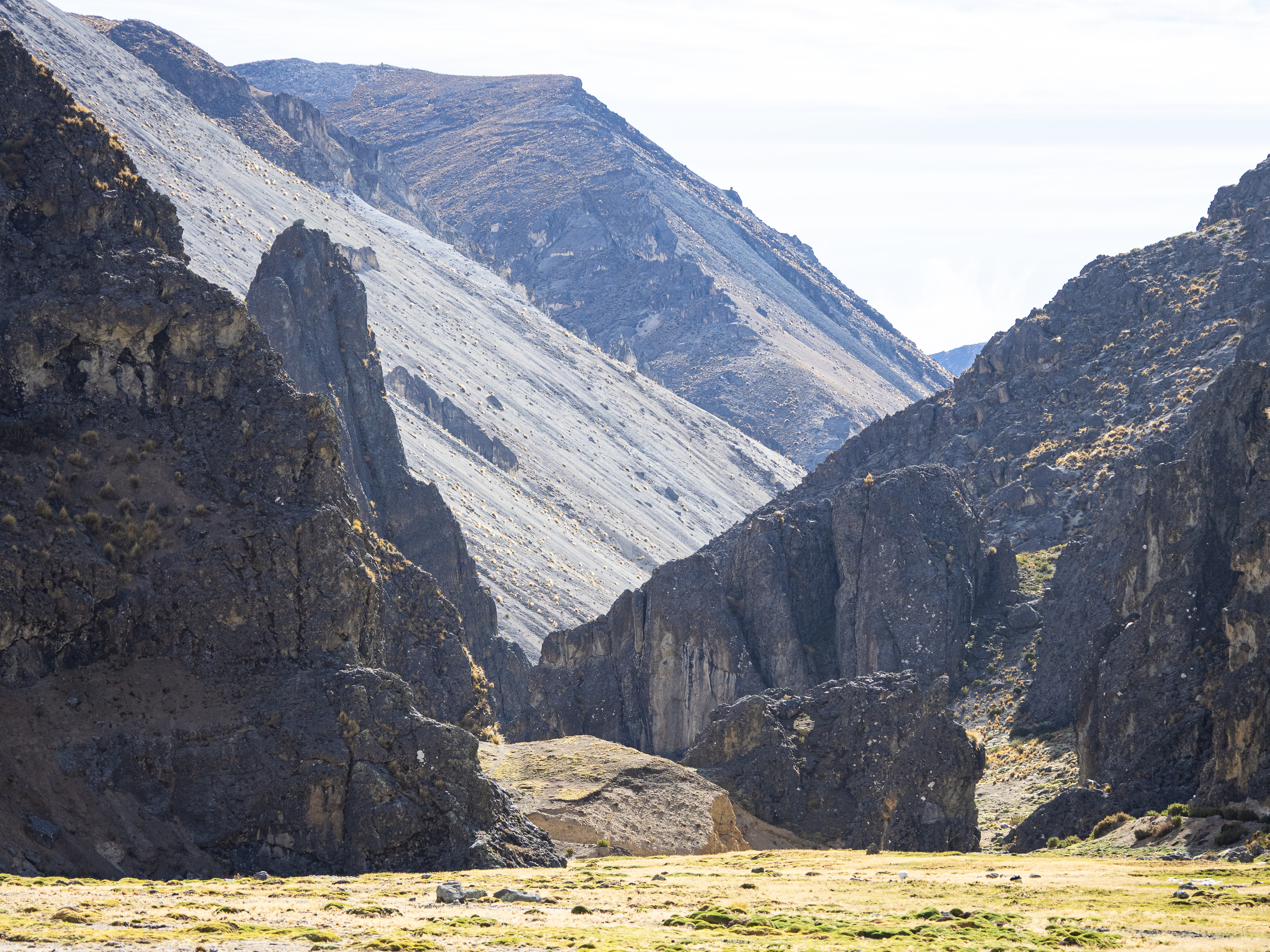
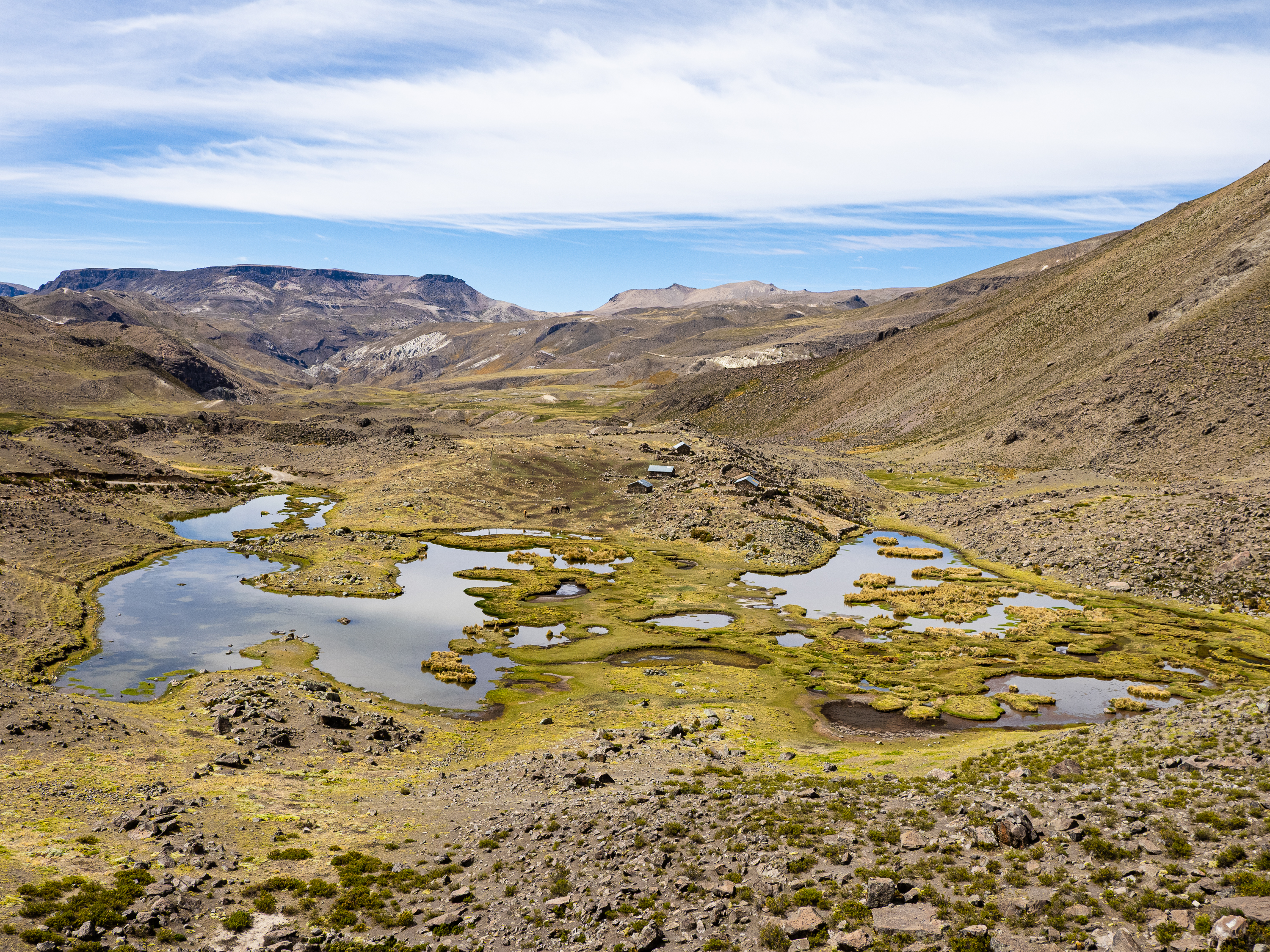
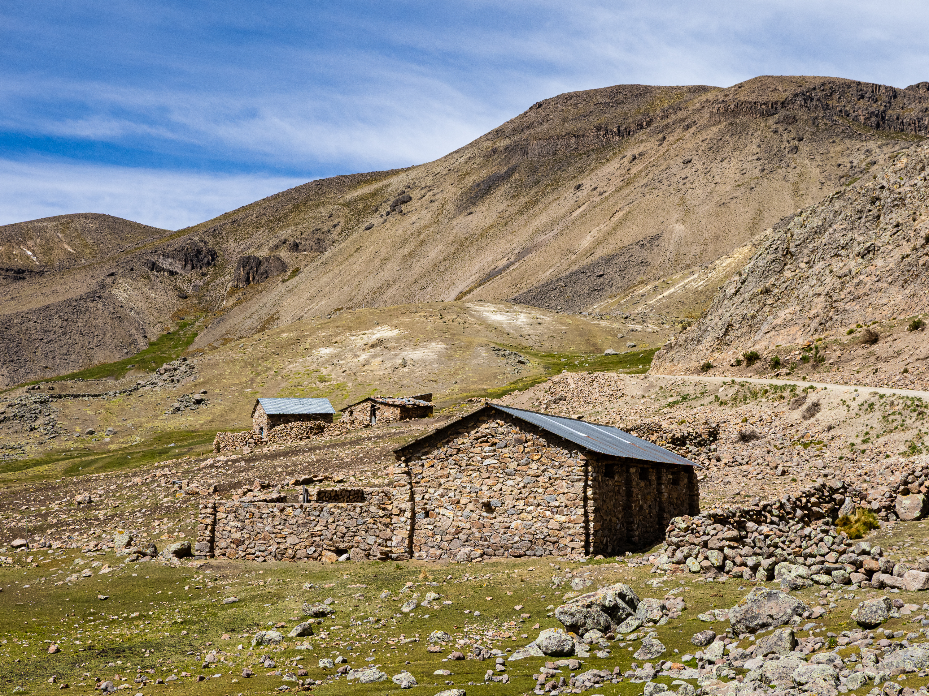
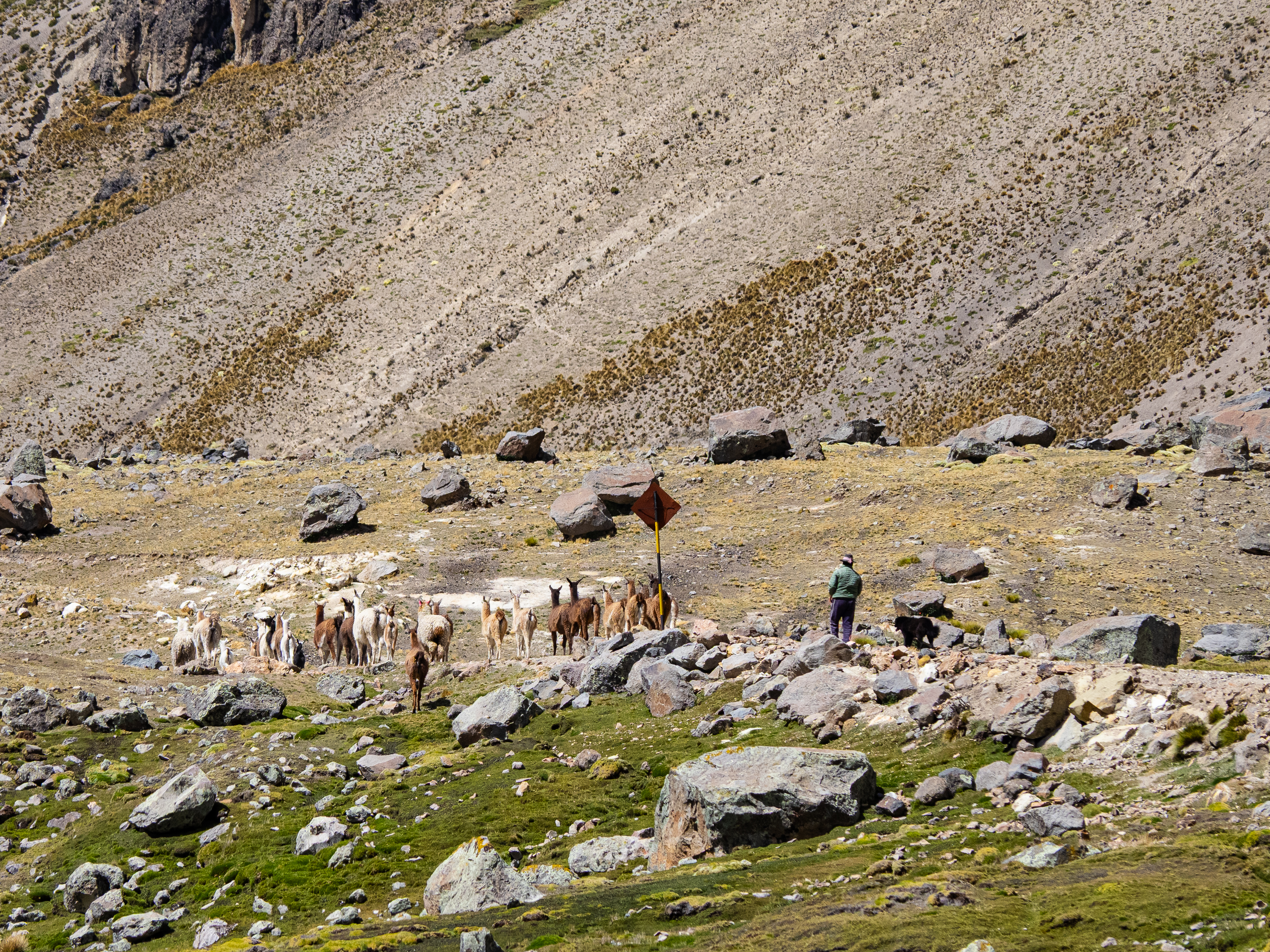
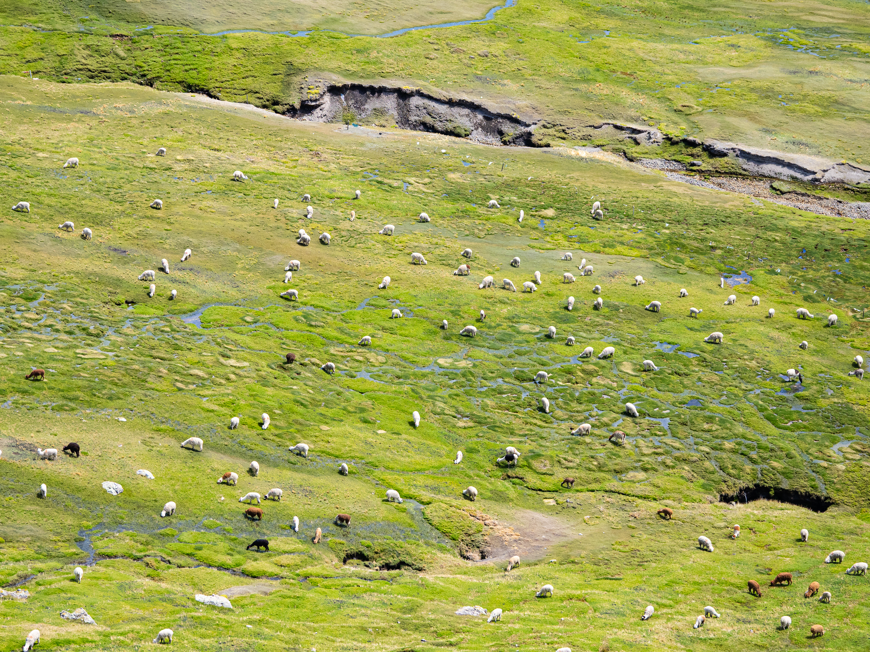
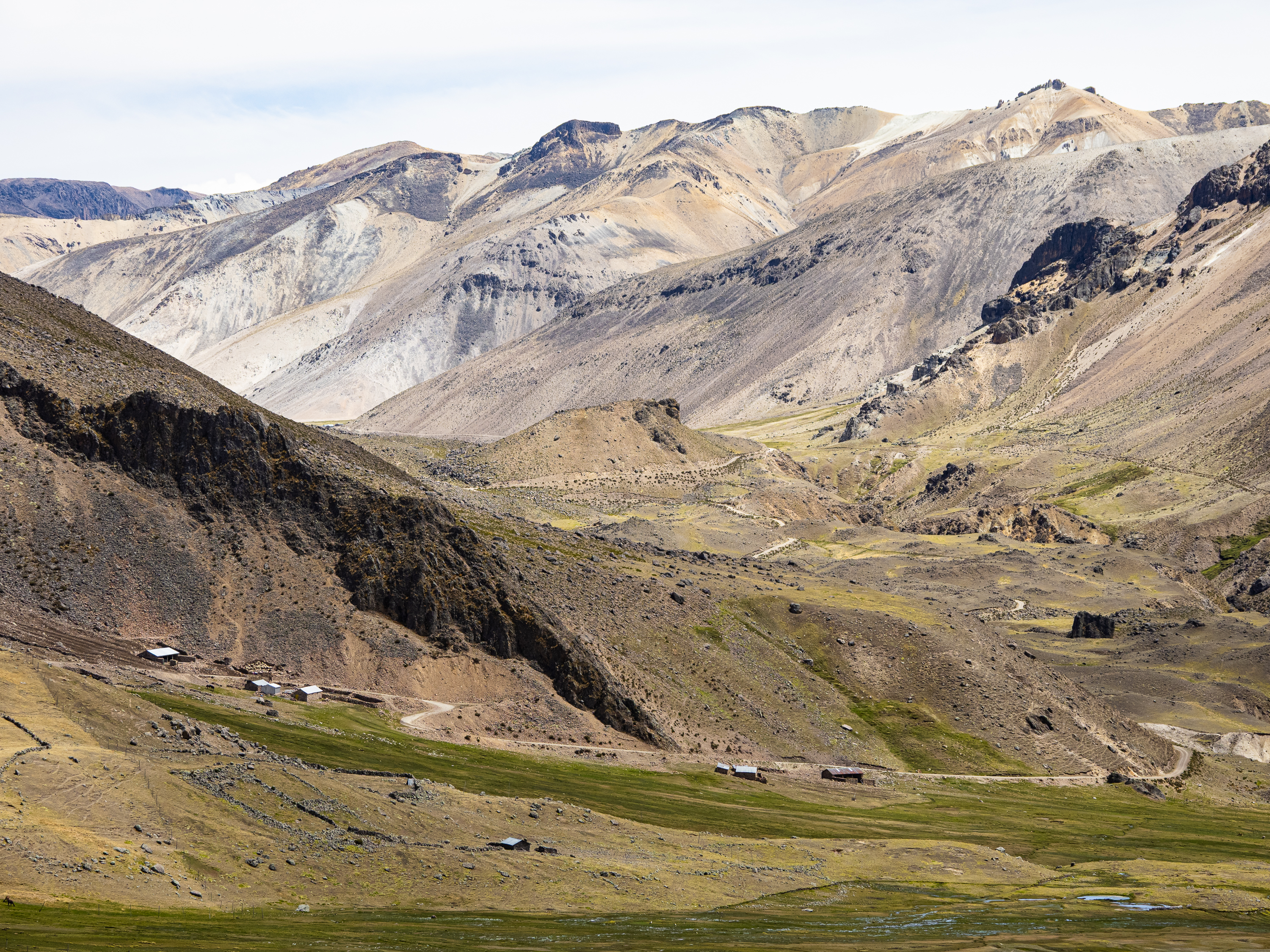
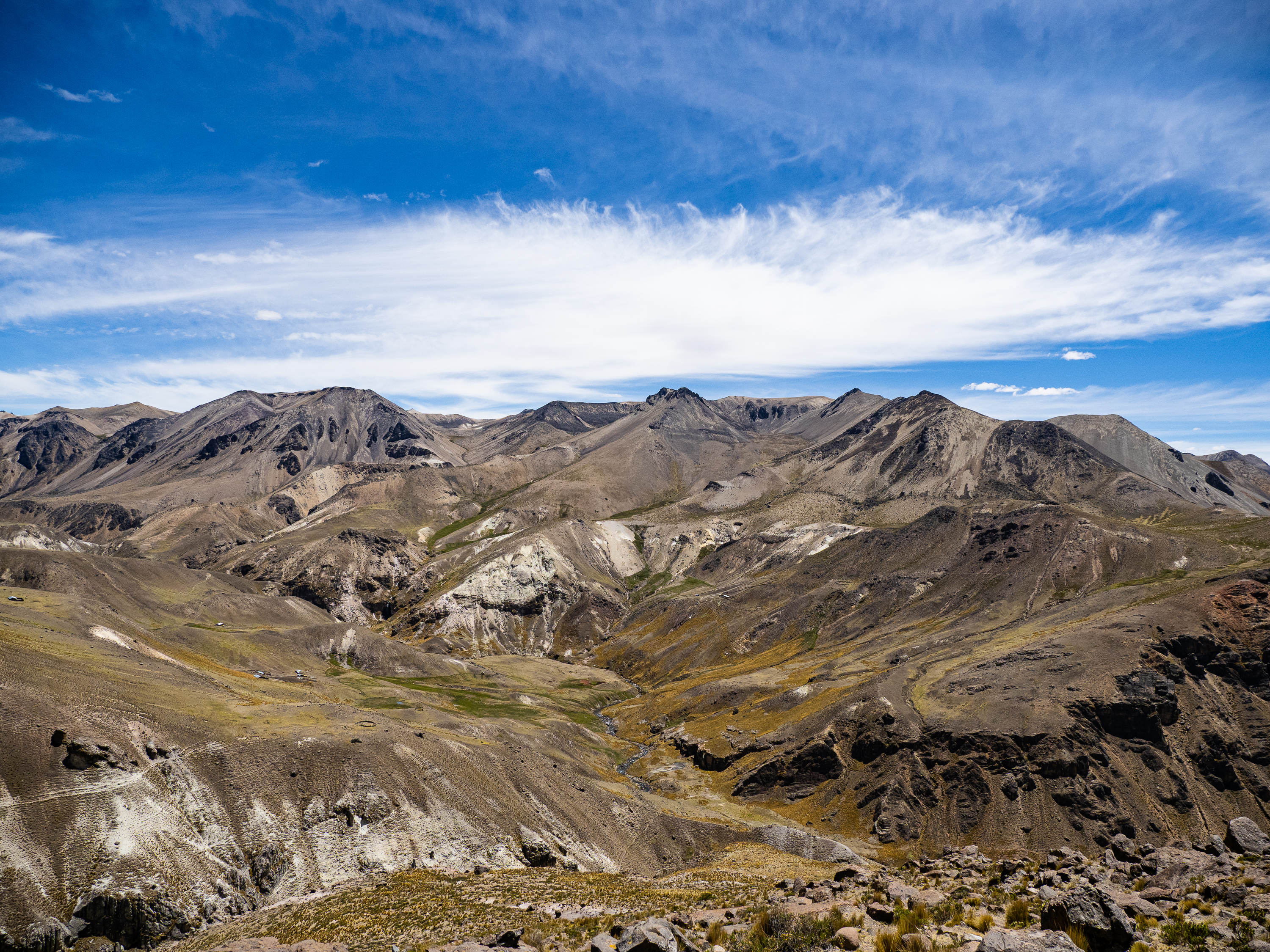
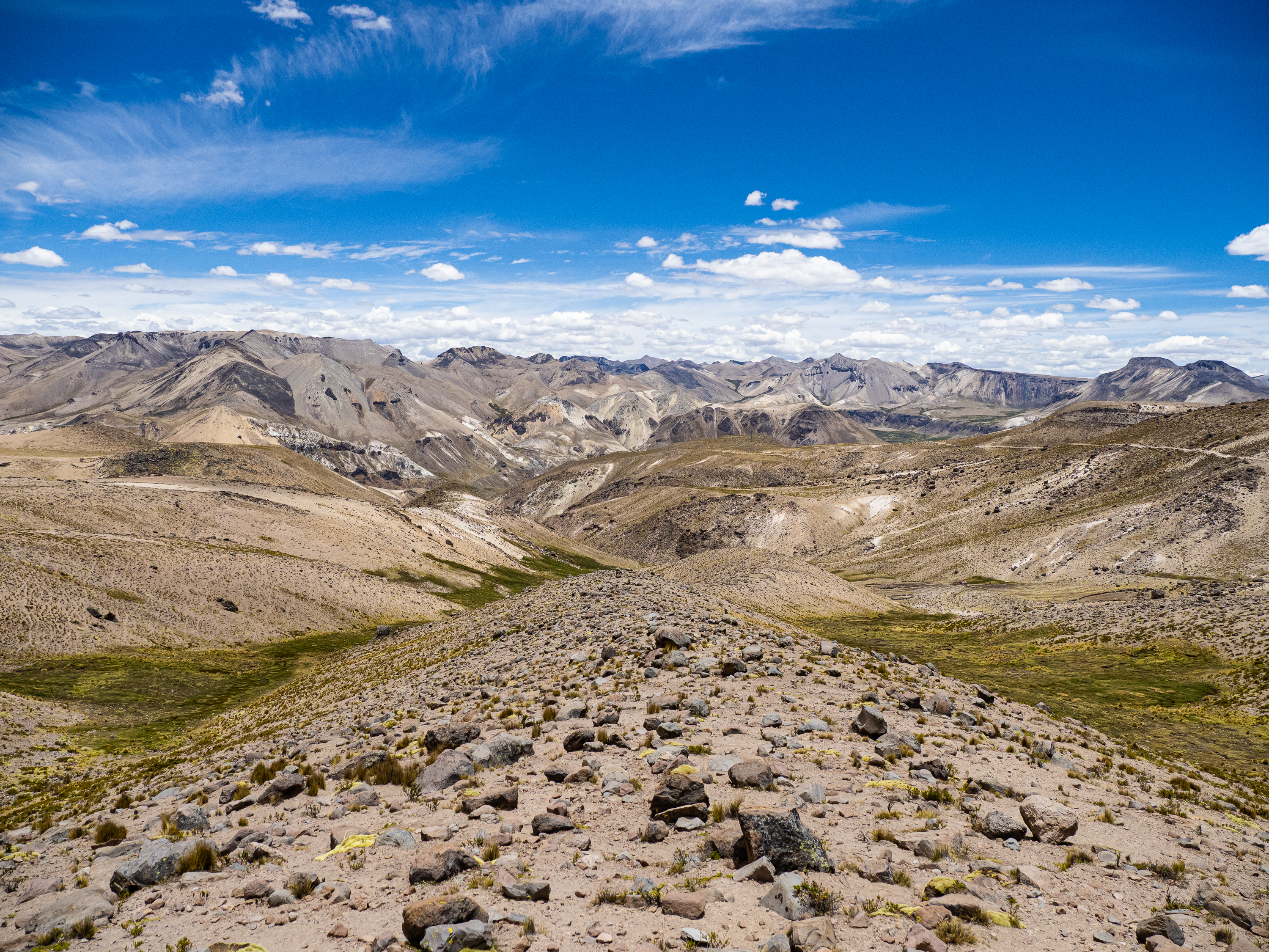
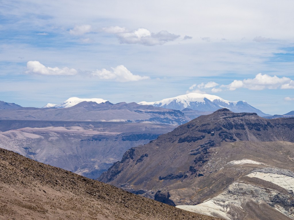
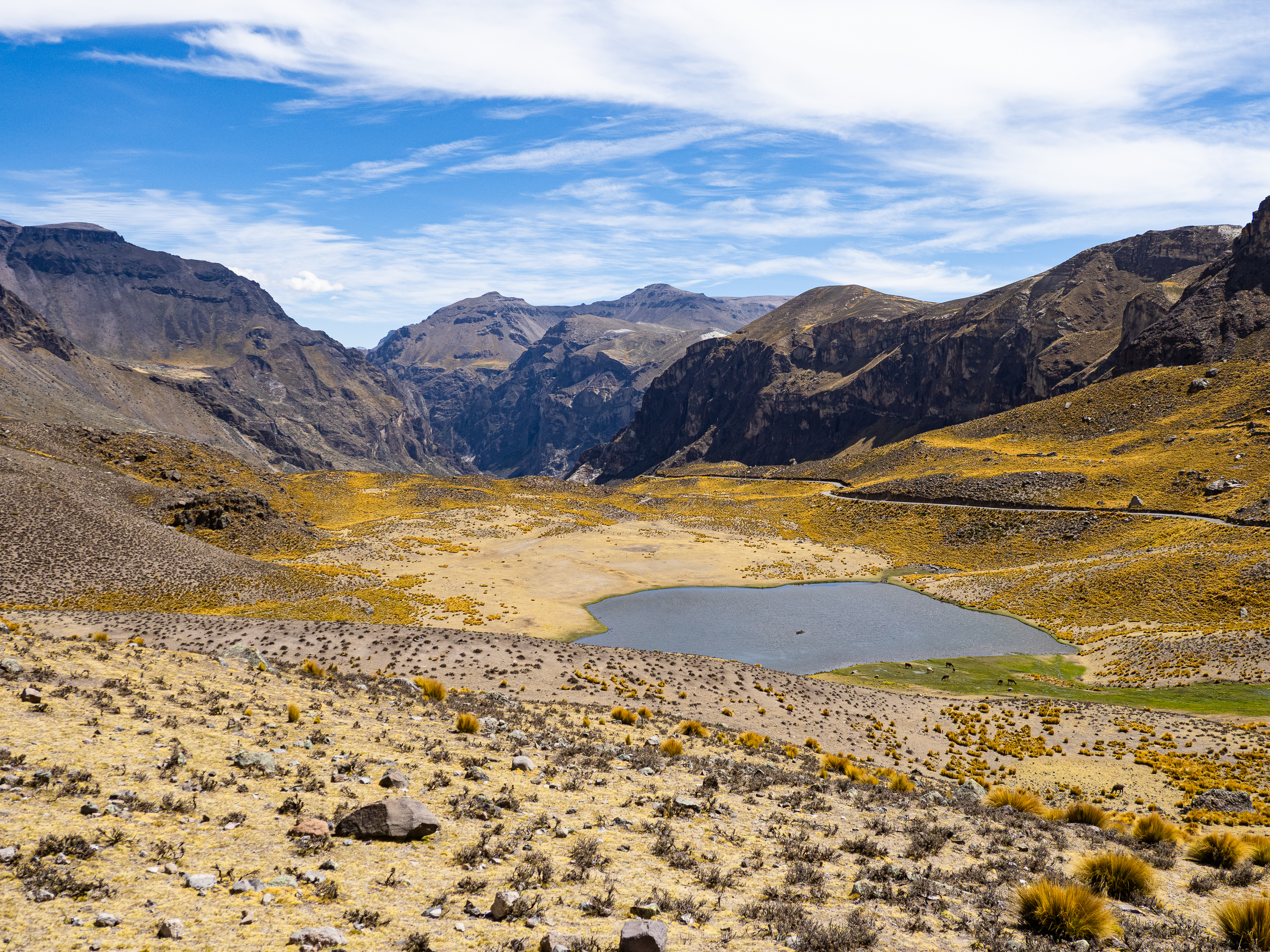
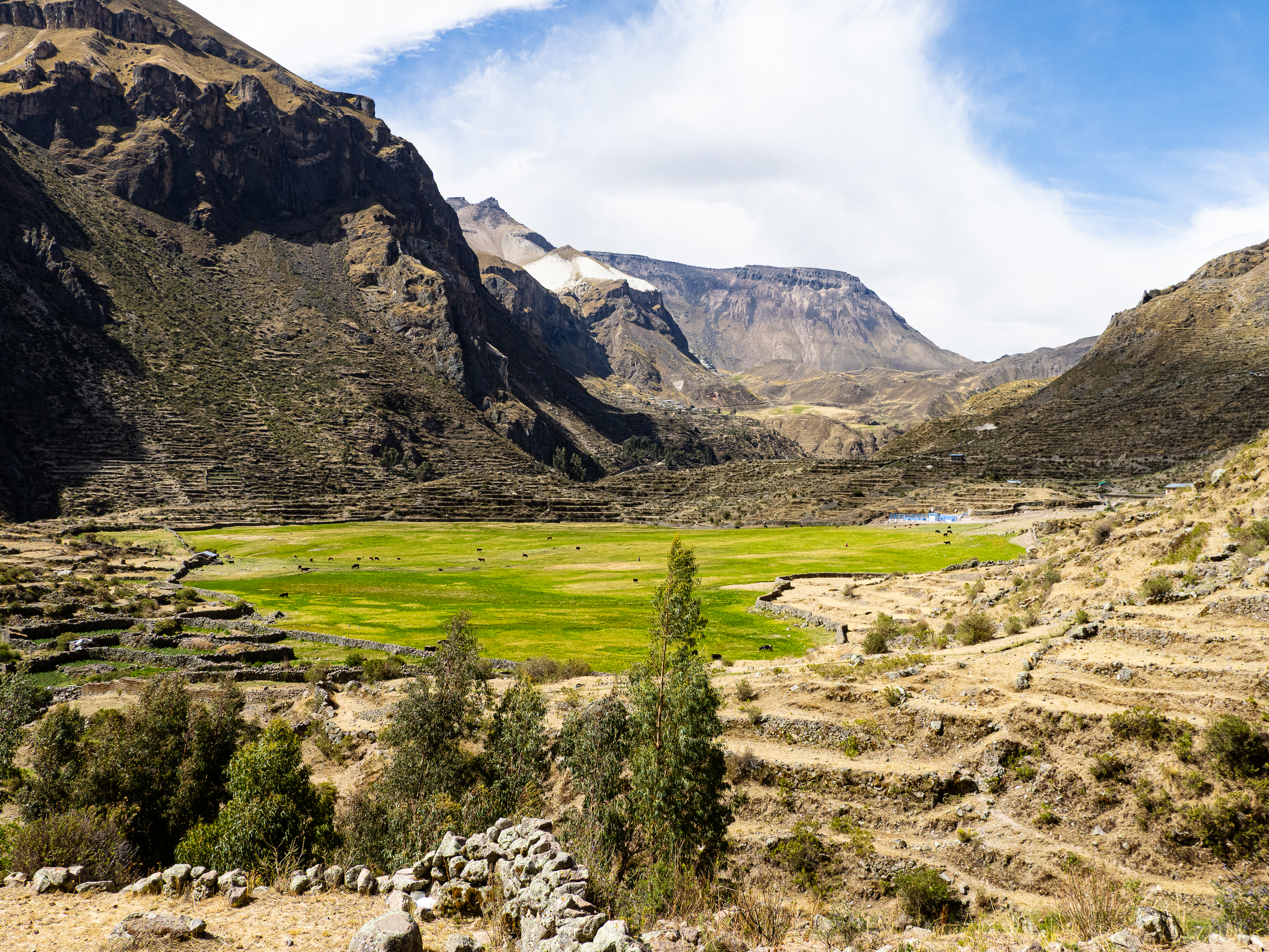
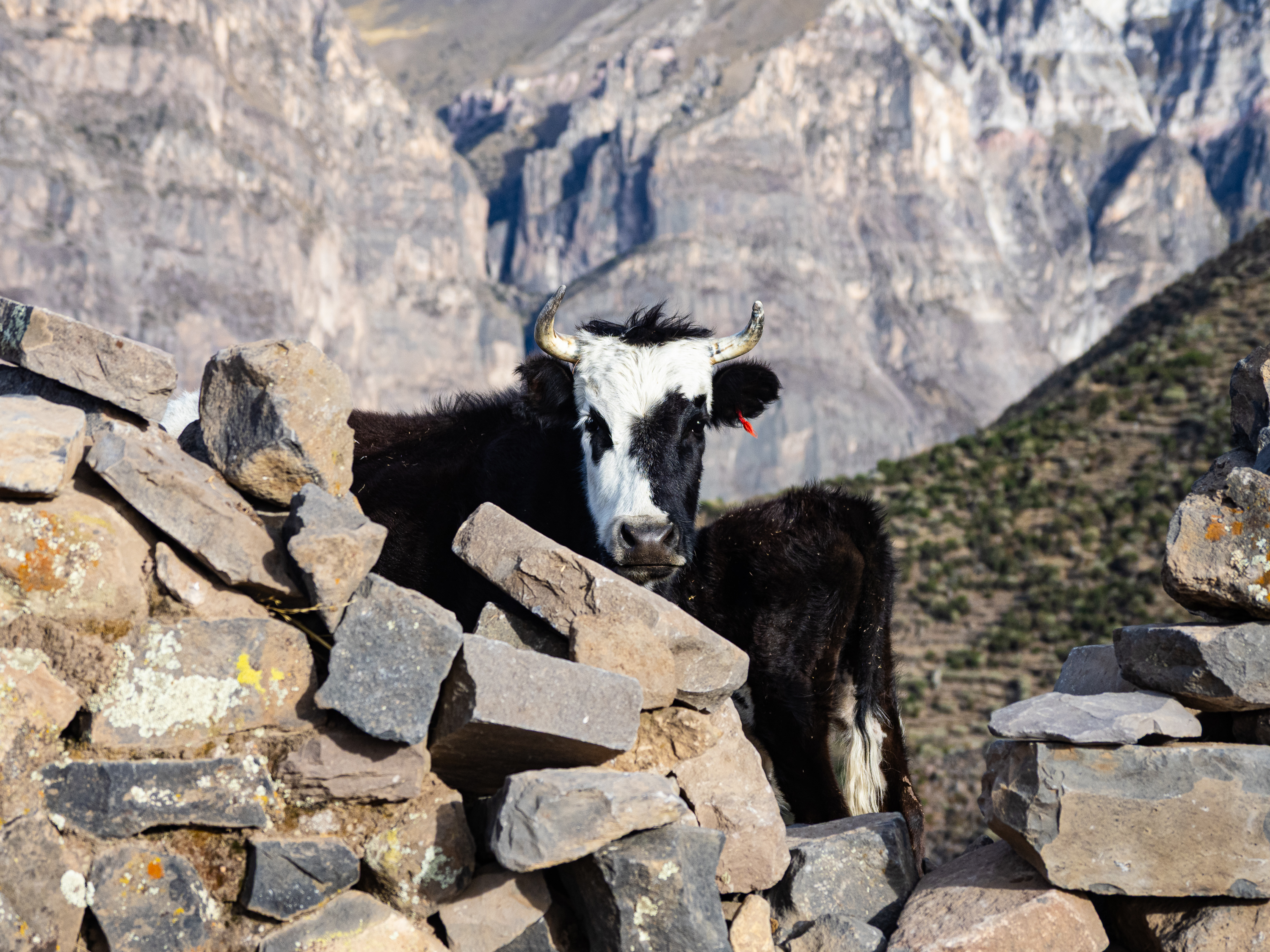
The storm did pass, but it was only a prelude of what was to come. The road continued to wind it’s way through the mountains, while the peaks themselves became increasingly dramatic. Jet black mountains streaked with grey rock falls capped red and pink mineral-rich soil, interspersed with tussock fields. I passed dispersed herds of llamas and alpacas, and the occasional shepherds home. It can’t be an easy life in these remote areas at over 4,500m elevation.


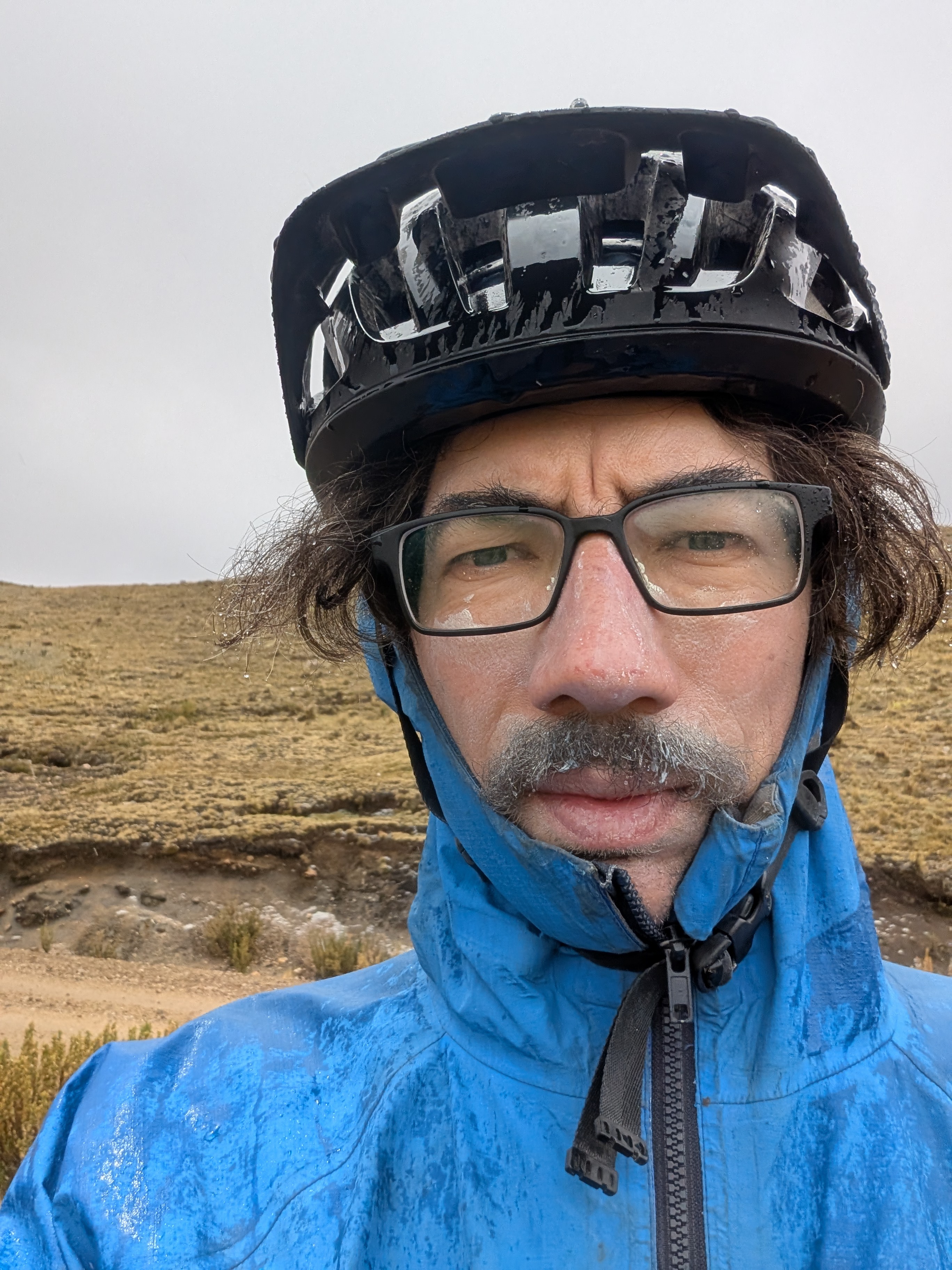
As I began the climb to the 4,800m high-point of the day, a distinct rumble began to echo through the mountains. Dark clouds approached and I could feel the storm approaching. The crashes got louder and I could see lightning in the distance. The hail began and slowly intensified. I could see a truck up ahead and hoped maybe it could provide shelter, but it drove away before I caught up. I looked around for a place to hide and saw nothing. With the storm getting closer, I did the safest thing I could and huddled in the ditch. The hail blanketed the landscape as the thunder roared and lightning flashed around me. I curled into a ball, hoping for the best.
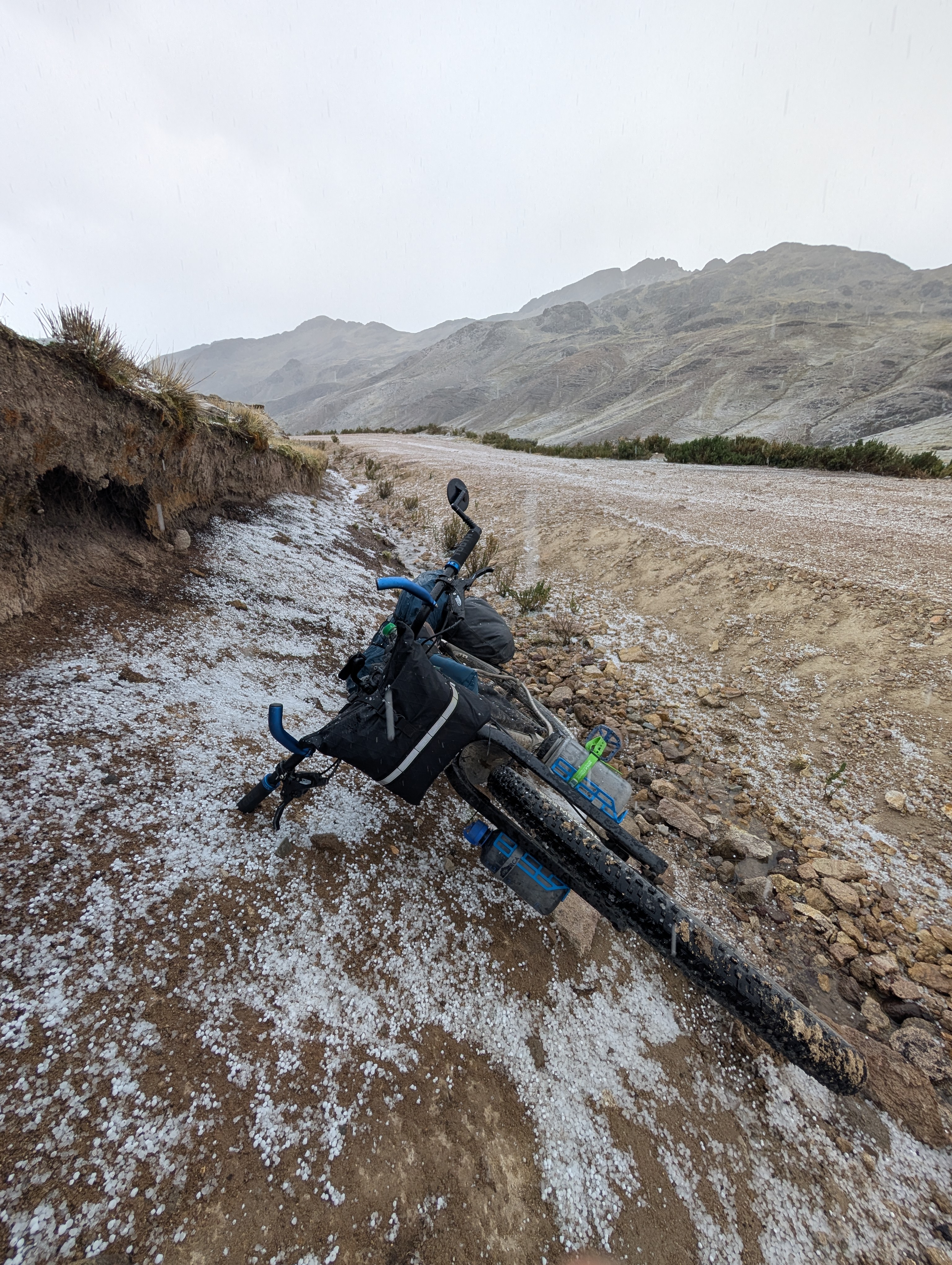
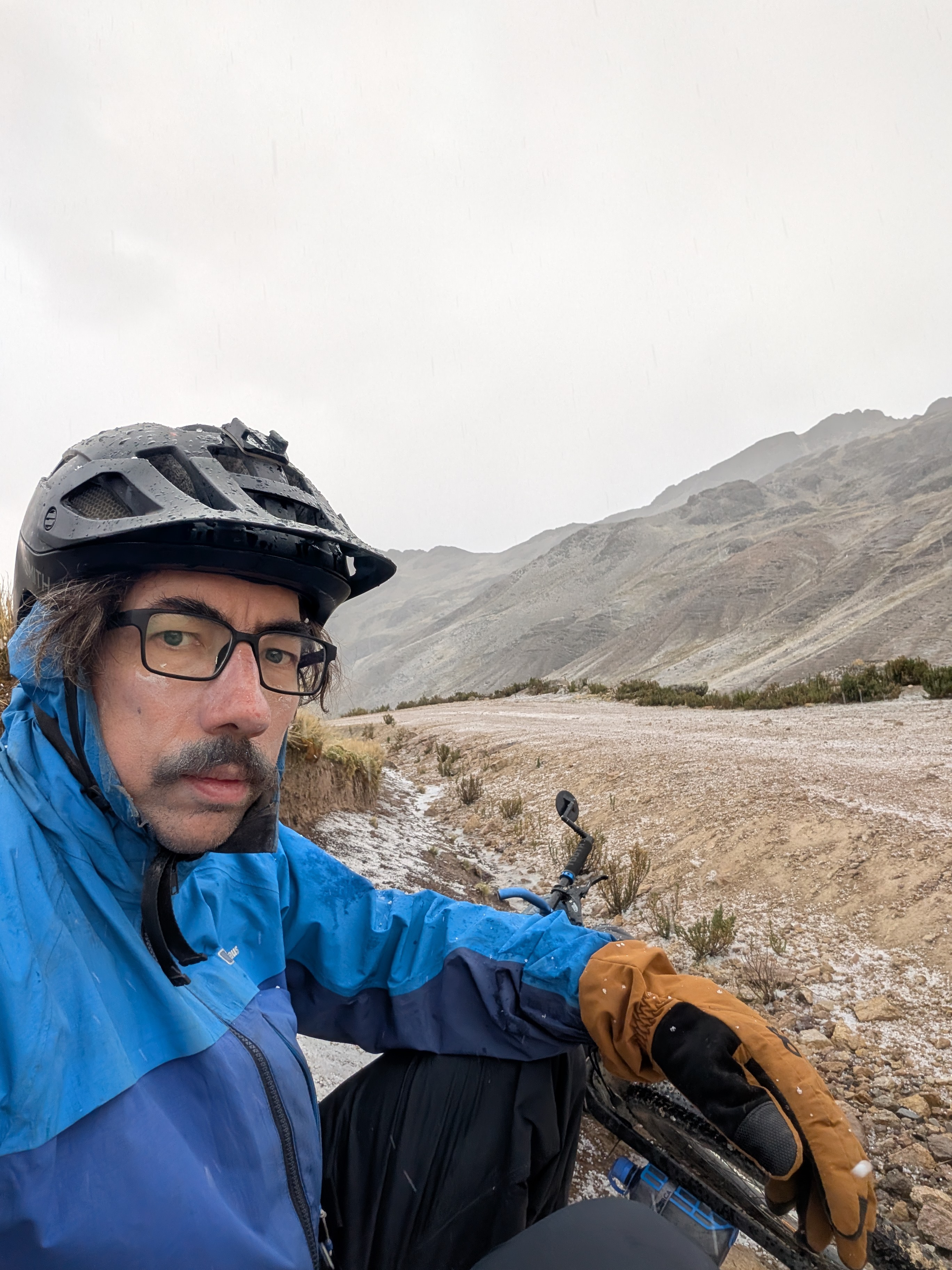
After an uncertain amount of time, the storm let up. The lightning became fainter and the thunder quieter. The hail let up and I felt safe emerging from my huddle and setting out again. The roads were covered in a thick layer of ice chunks that crunched beneath my tires. I complete the climb and passed a herd of damp alpacas, whose thick wool protects them from the weather.
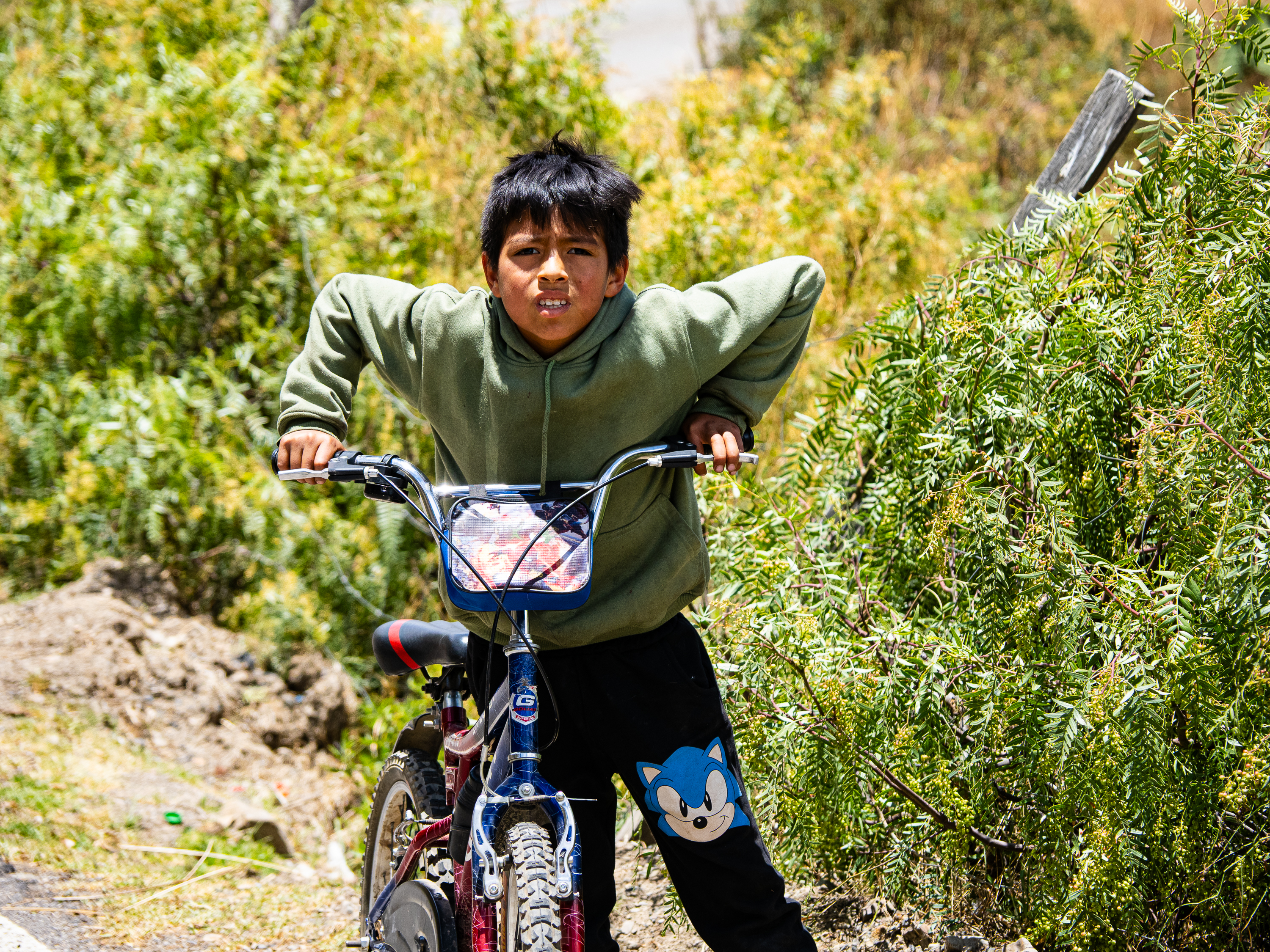
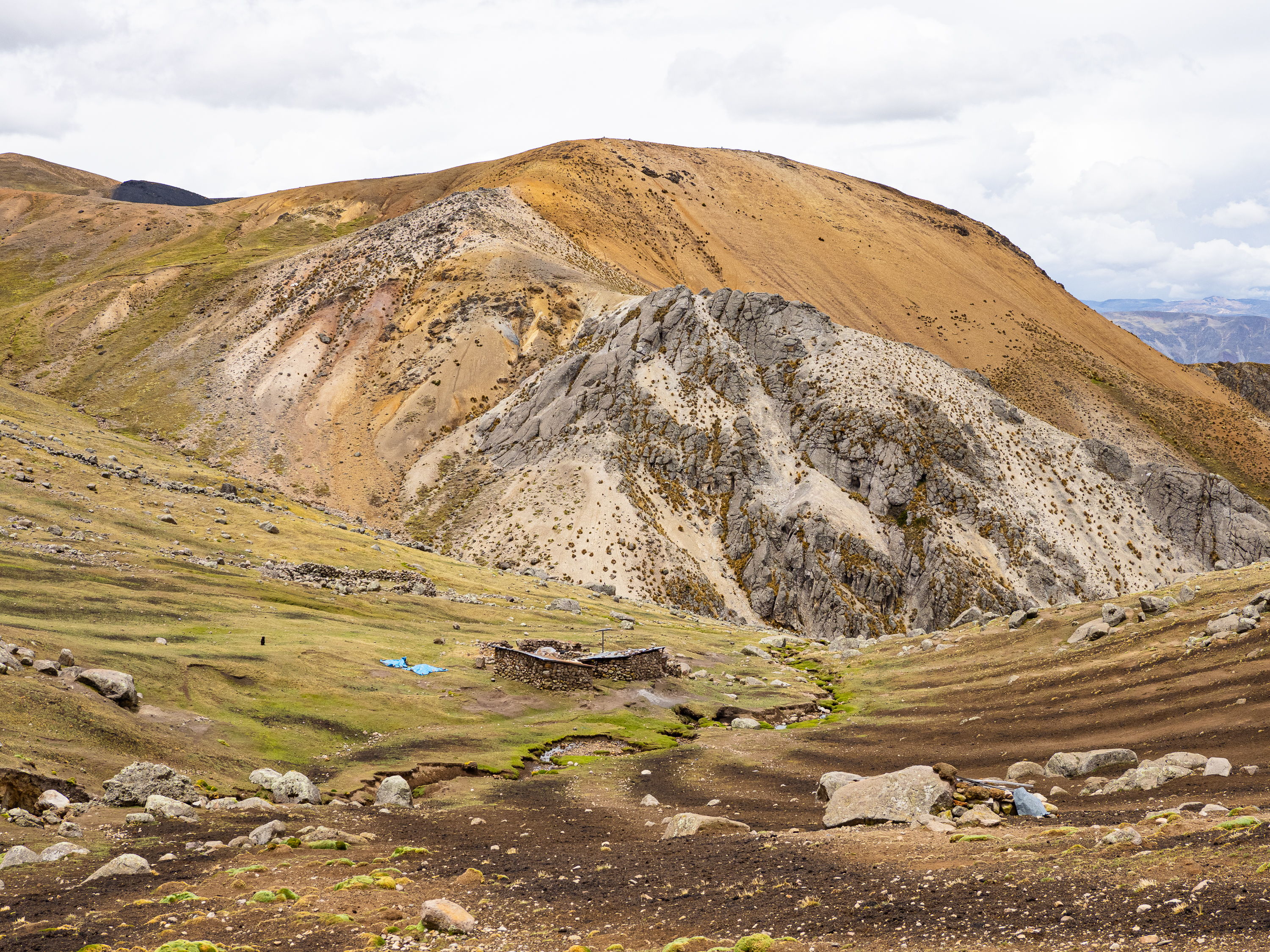
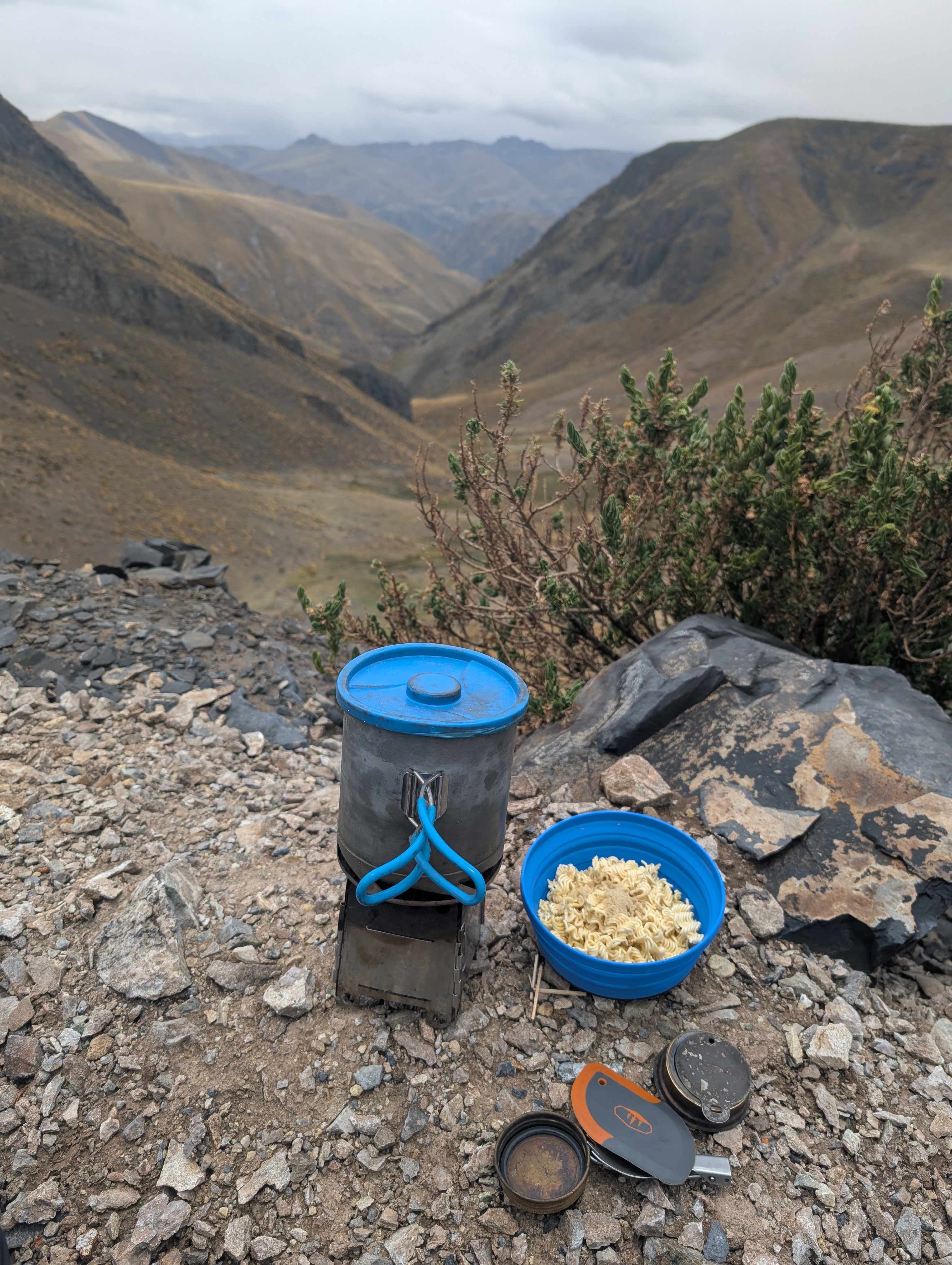
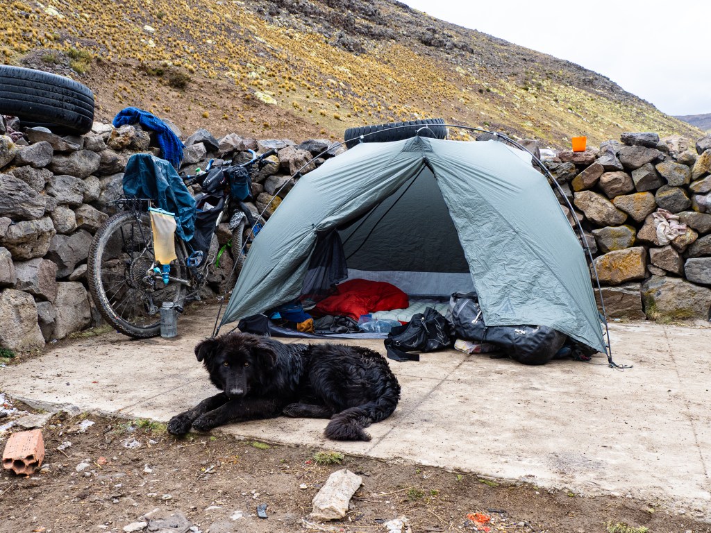
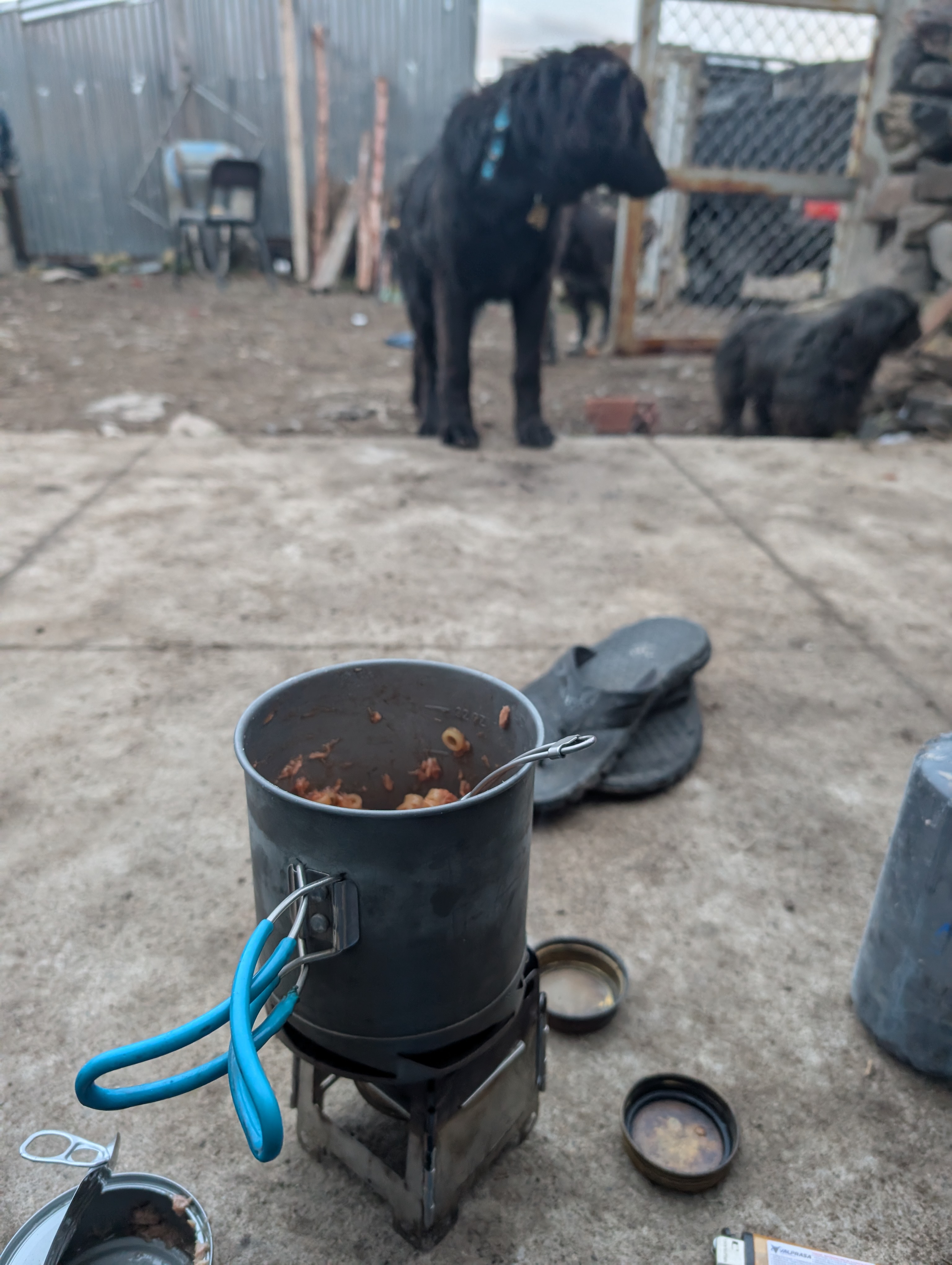
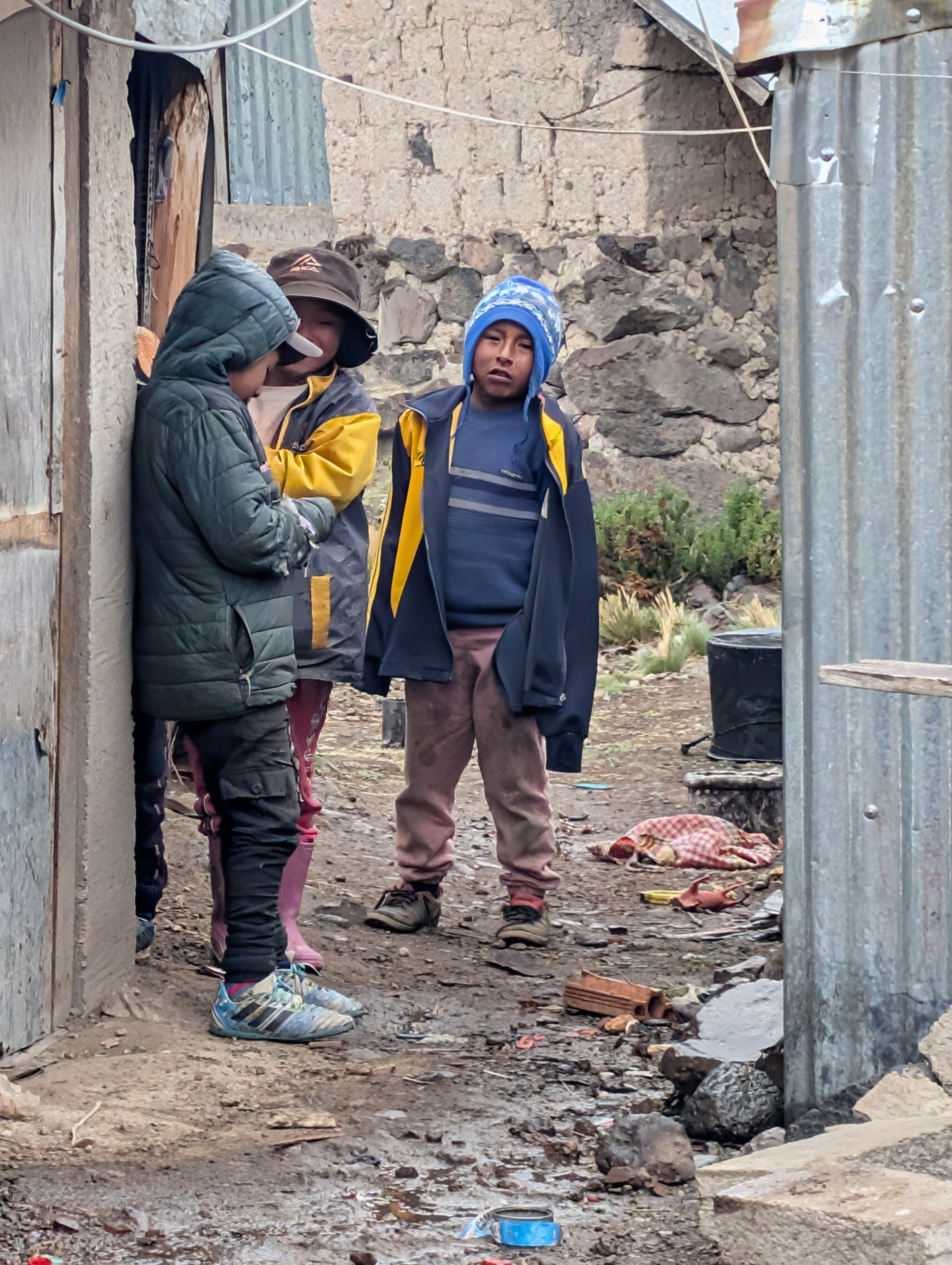
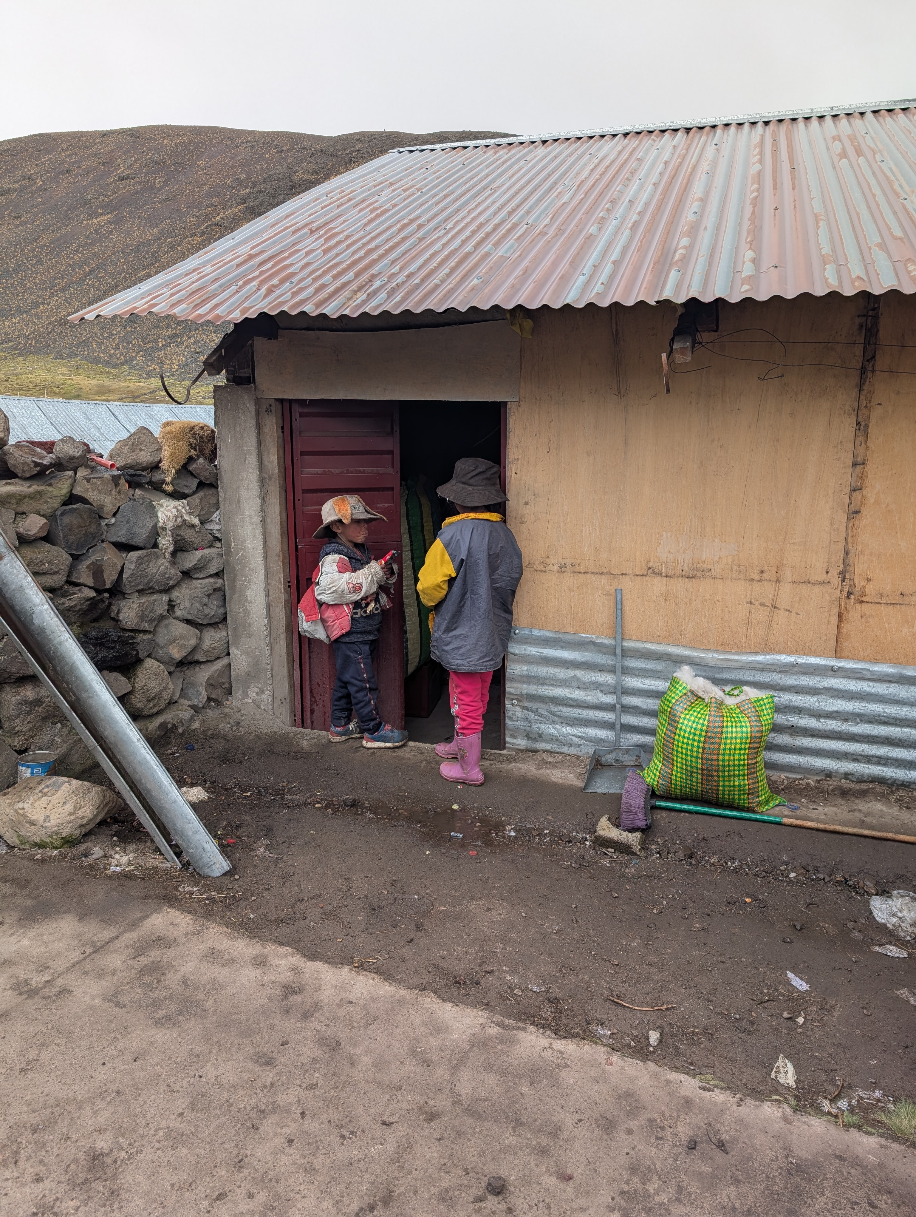
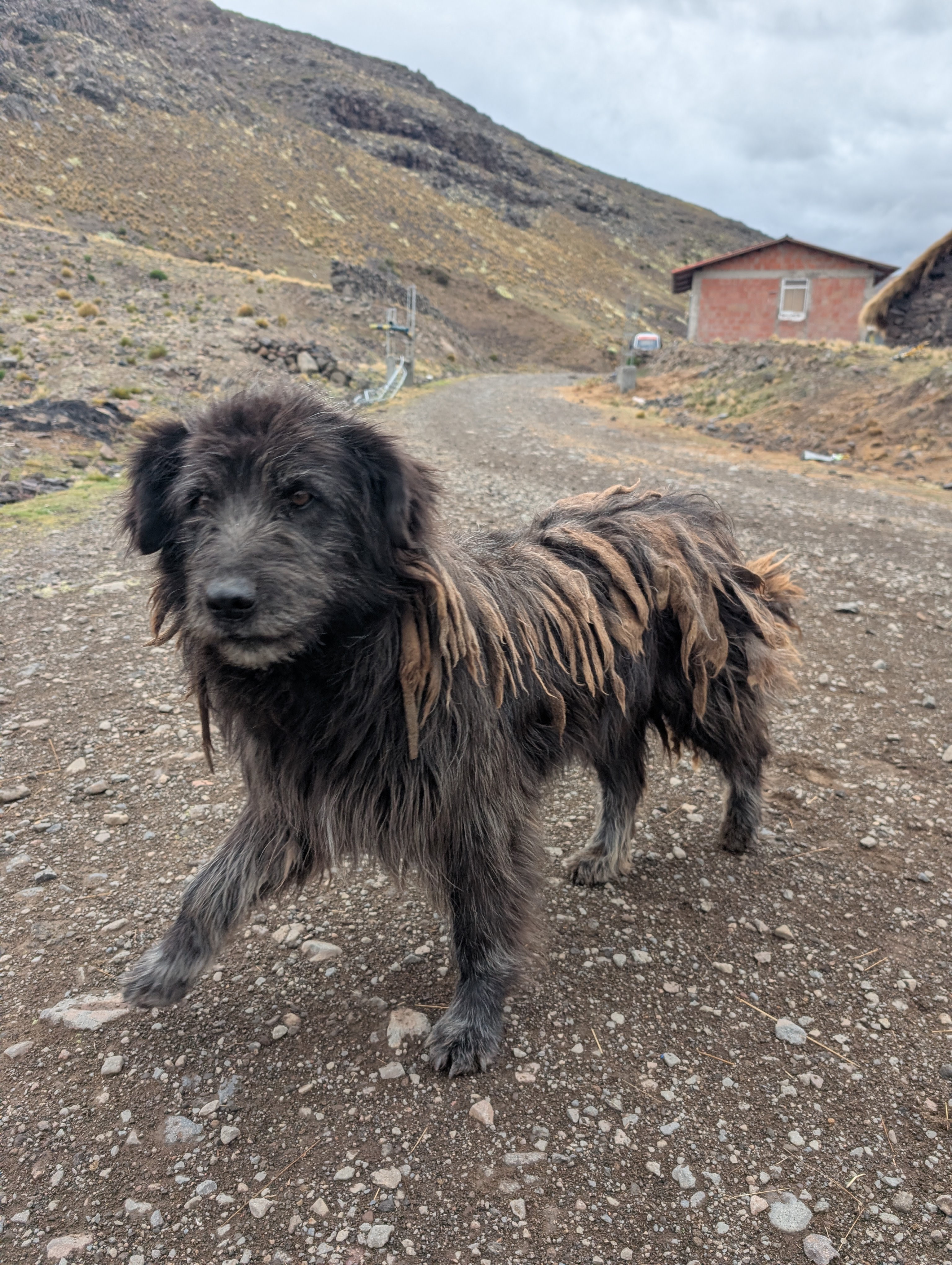
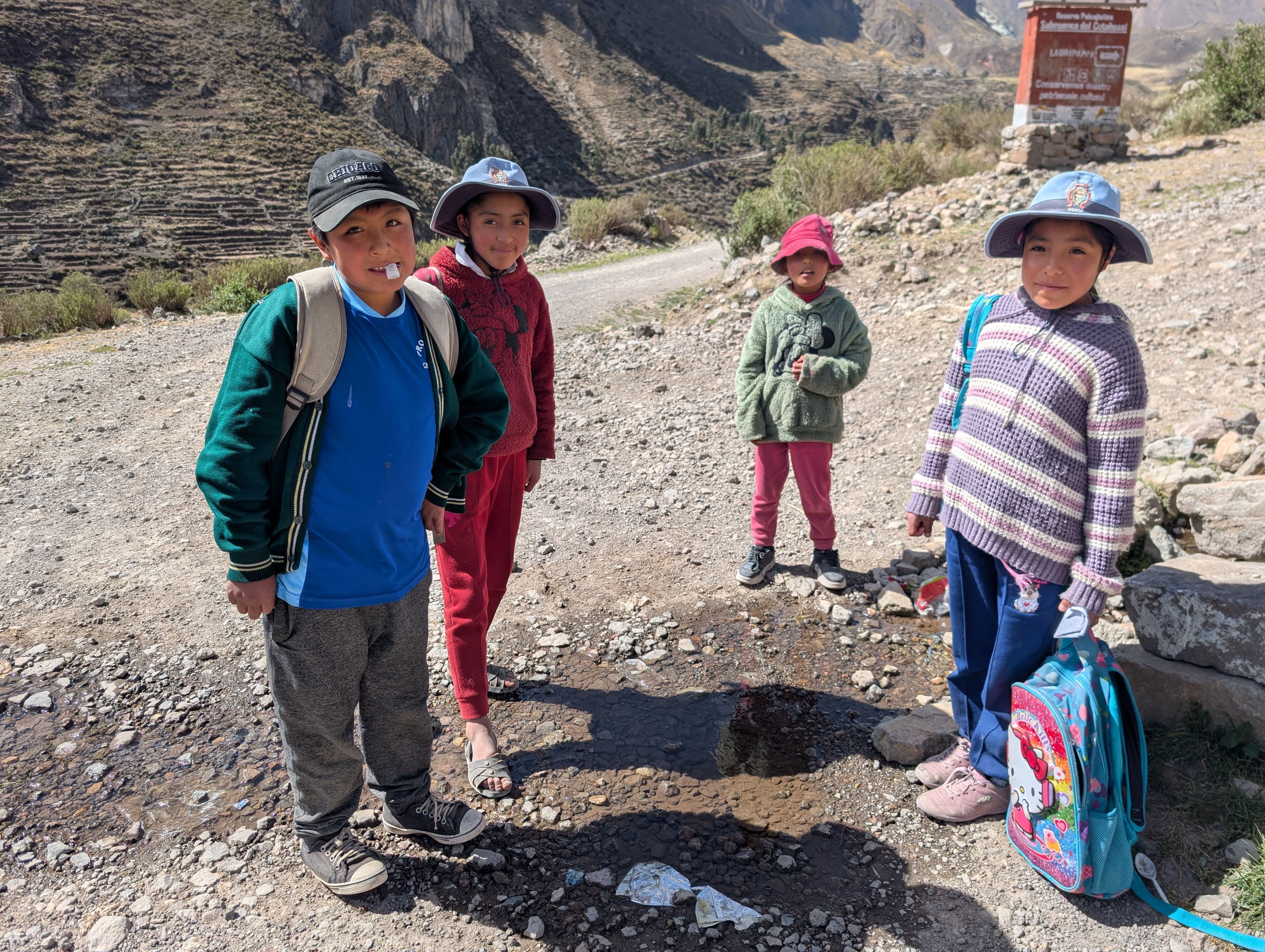
Having survived the storm, I descended a few hundred metres into the next valley, where my map showed there was a health clinic and school. While the clinic was closed, I was invited to sleep outside a shepherd’s home. It was Sunday and he was hosting a small gathering of local families. I could have kept going and camped higher up on the plateau, but I didn’t want to risk getting caught in another storm. Instead I enjoyed a glass of fermented corn beverage and settled into my tent. I was mostly ignored as the locals enjoyed the warmth inside and the kids eyed me curiously or suspiciously. I was happy to eat my dinner accompanied by the local scraggly dogs.
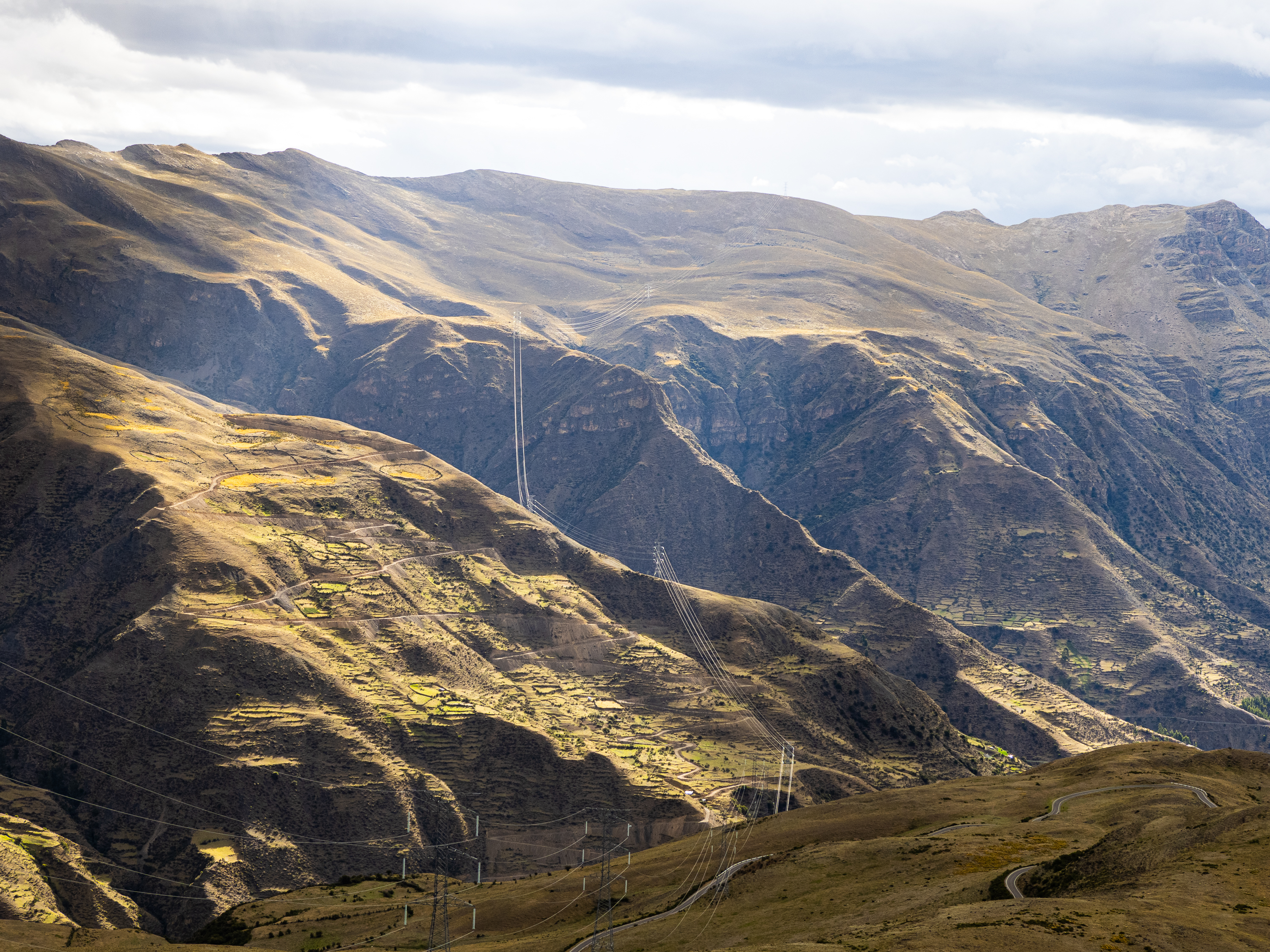
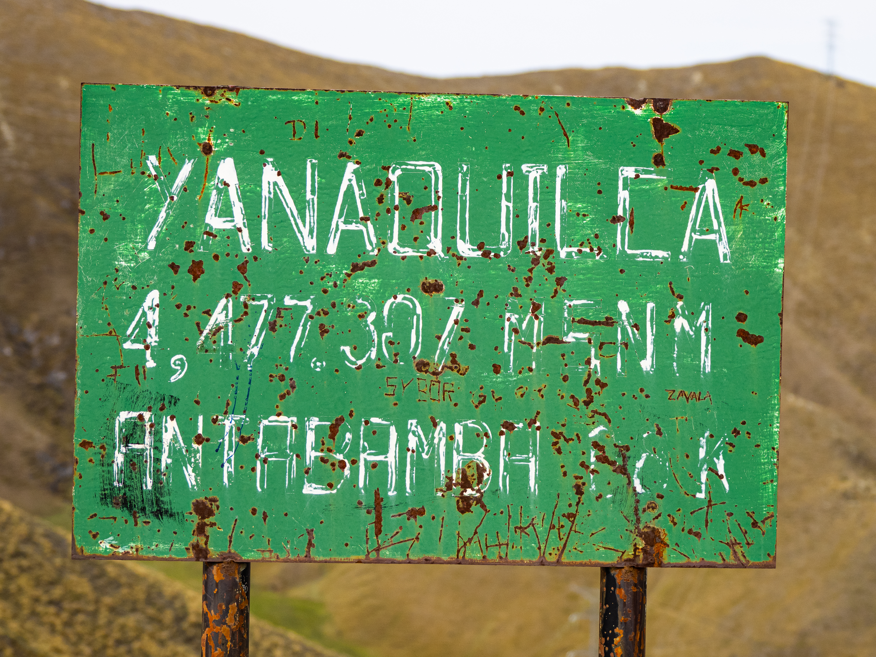
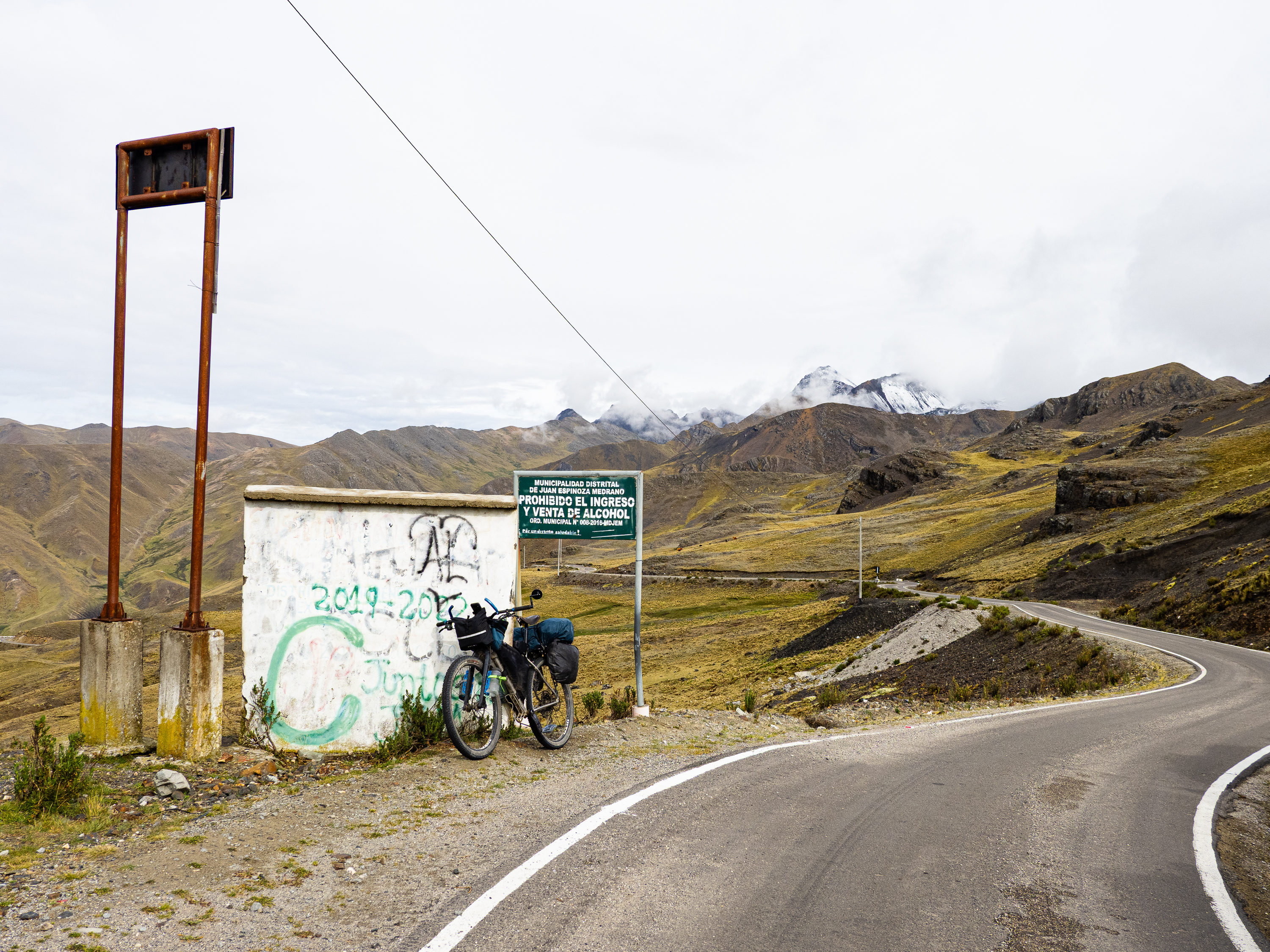
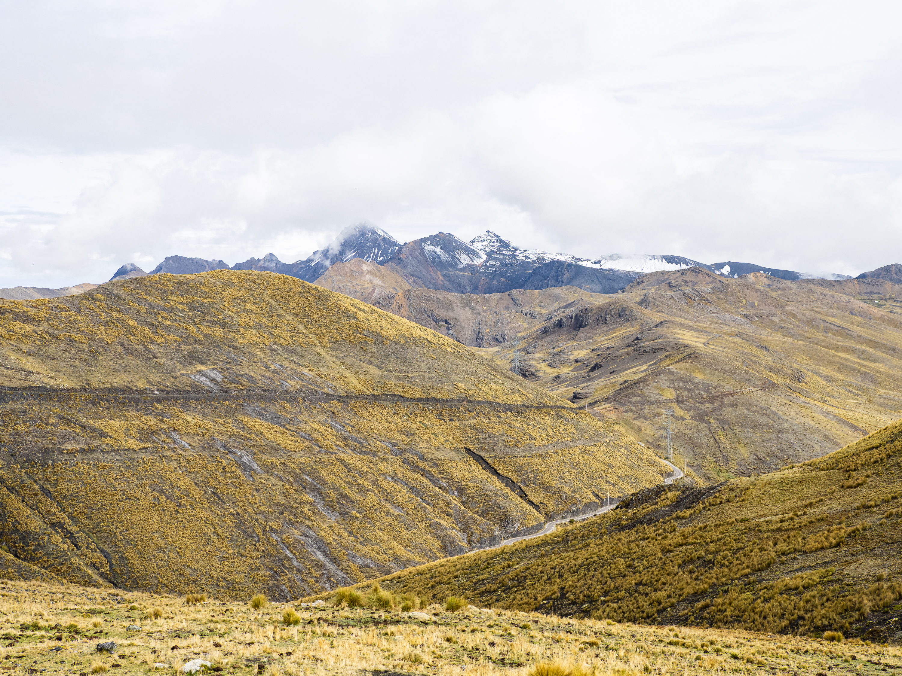
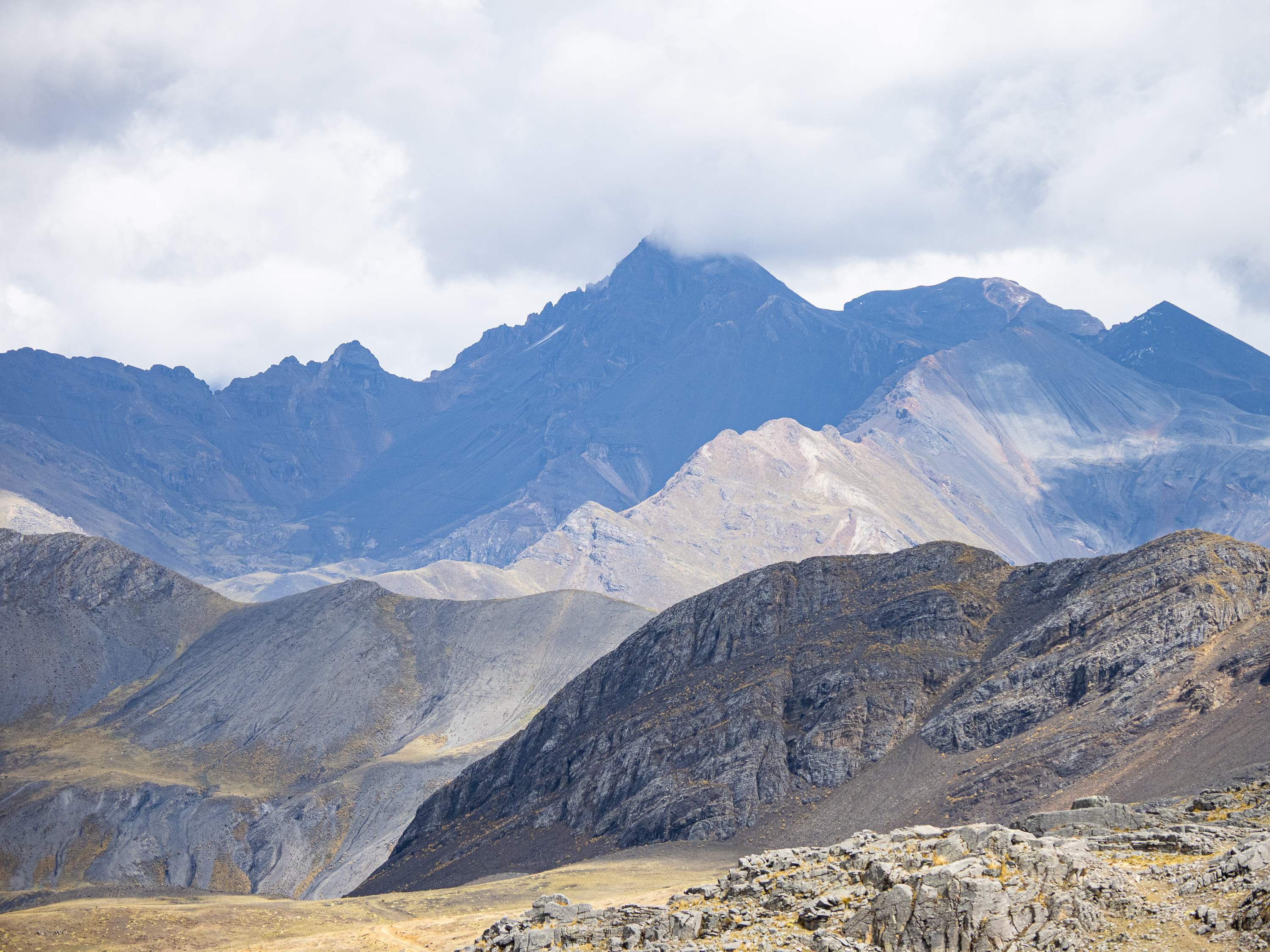
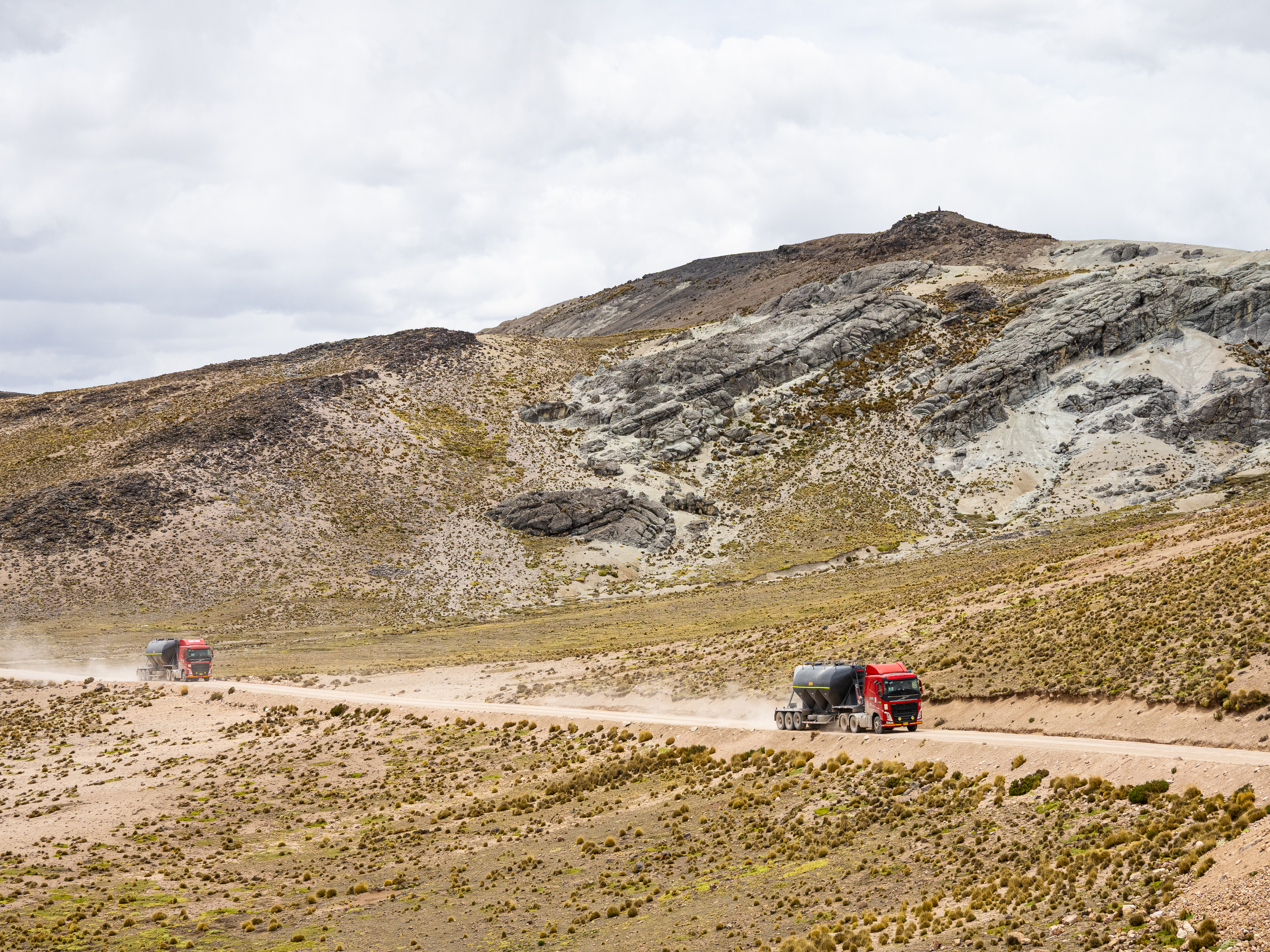
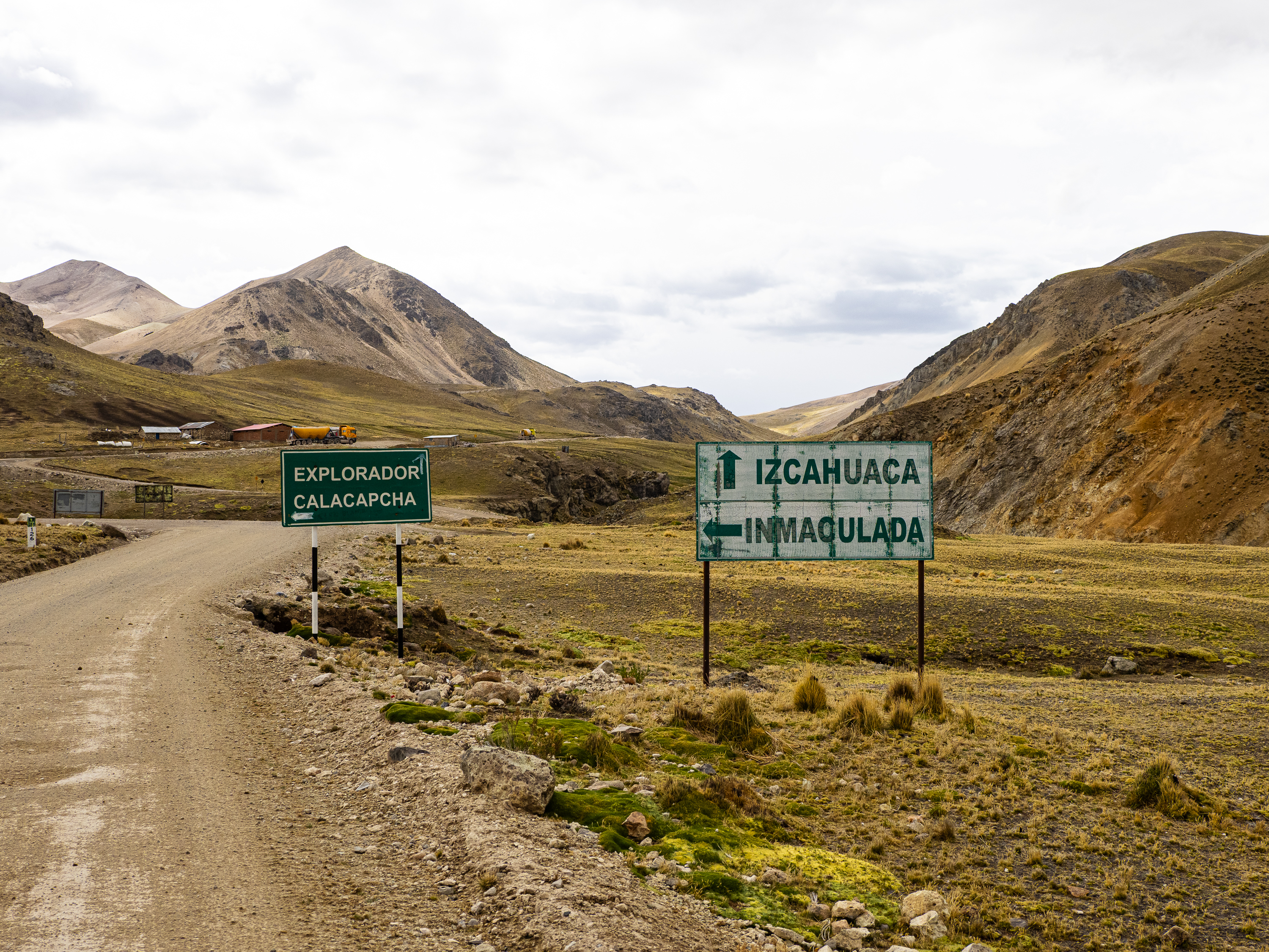
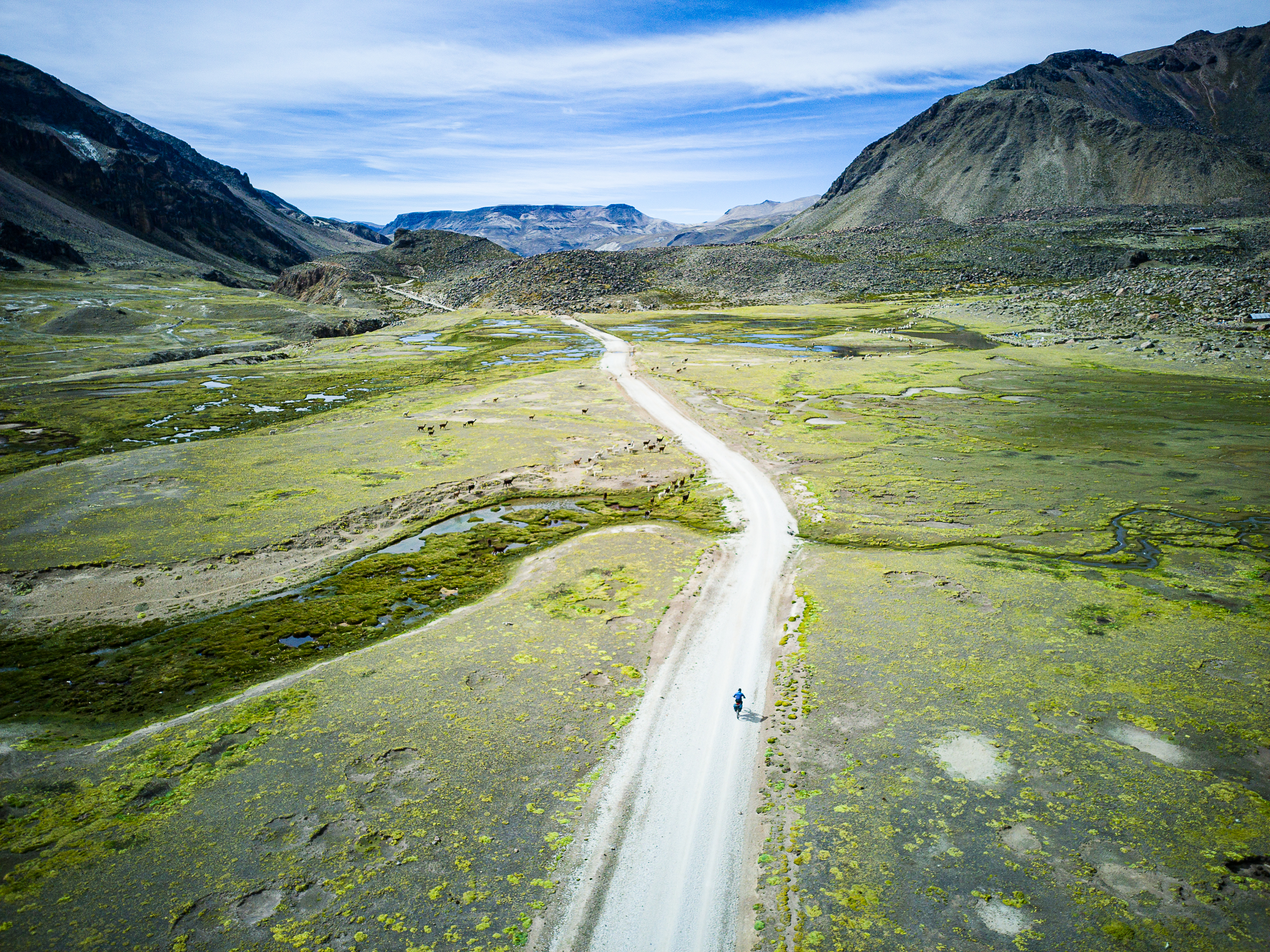
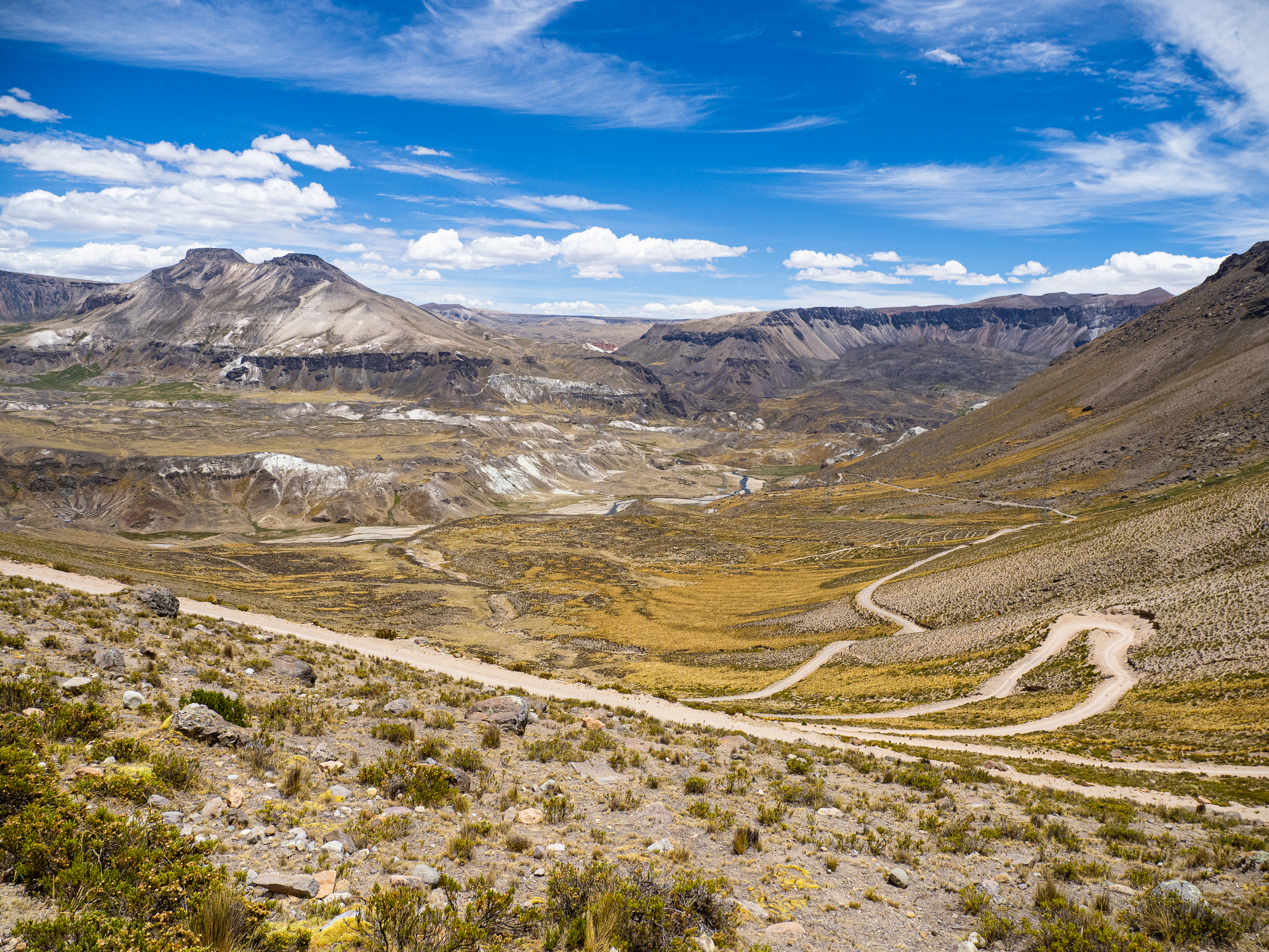
I had a cold sleep at 4,500 metres. I woke up to clear skies and a rising sun casting a luminous glow on the valley. I said farewell to my hosts and climbed back to the plateau, cycling around a pyramidal peak and eventually reaching the main road through this region. After a few days of isolation, I would now be joined by periodic trucks rumbling back and forth to the region’s massive mines. It was a pleasant ride on a well-graded road, with no major climbs, but the altitude – 30 km above 4,600m – did slow me down a little.
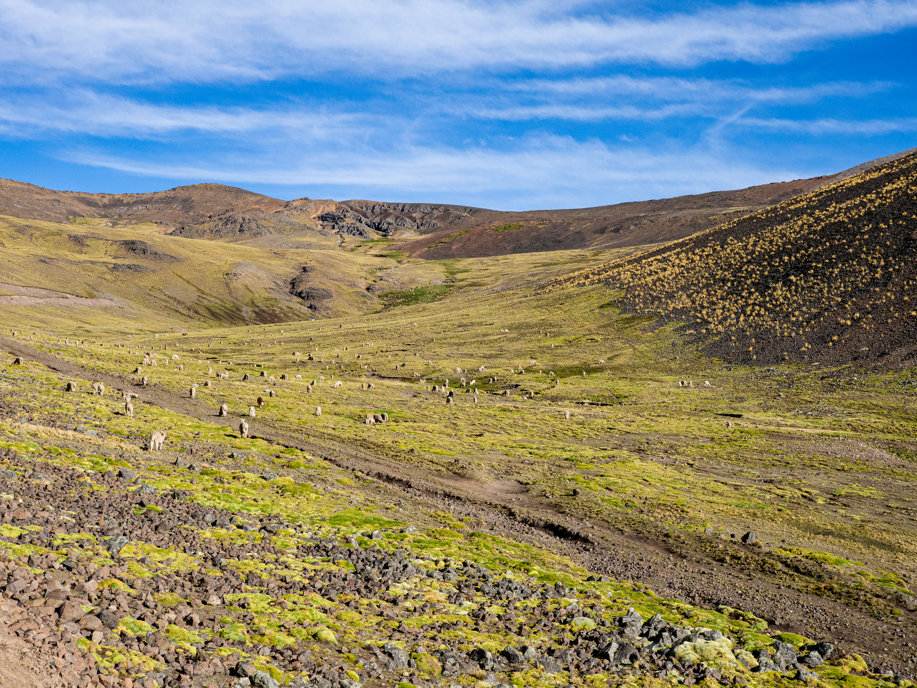
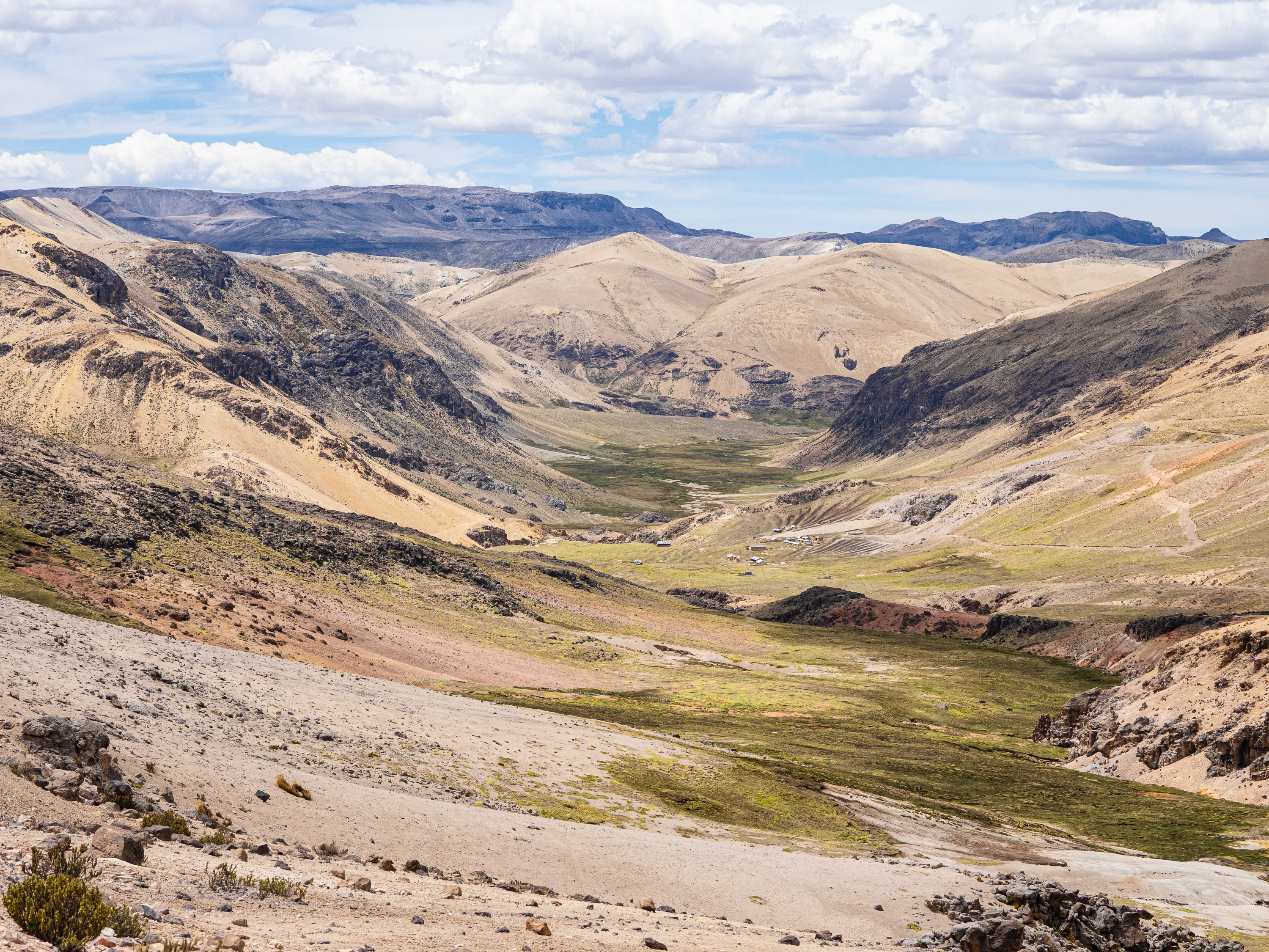
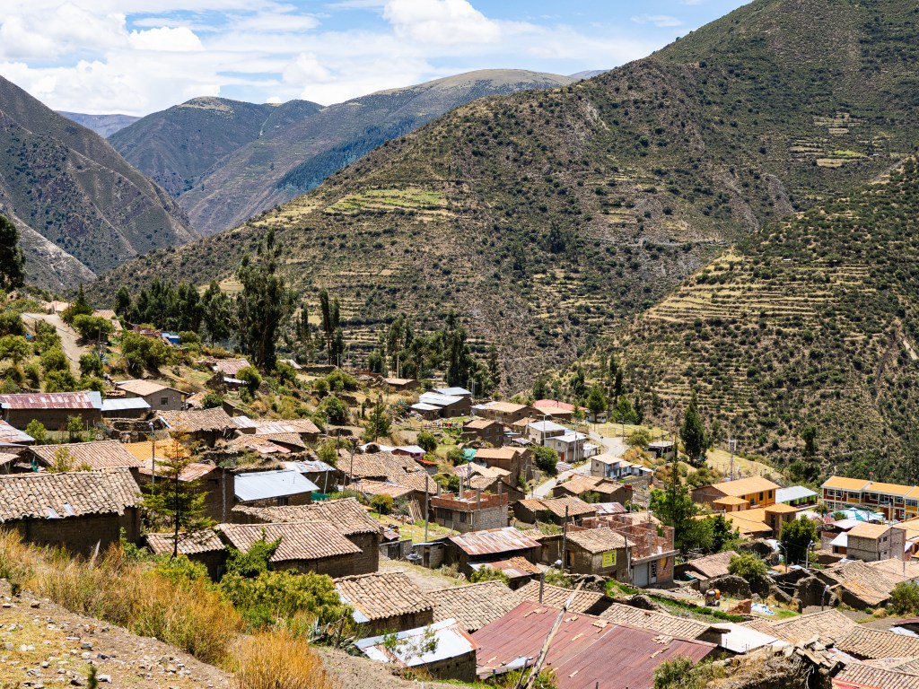
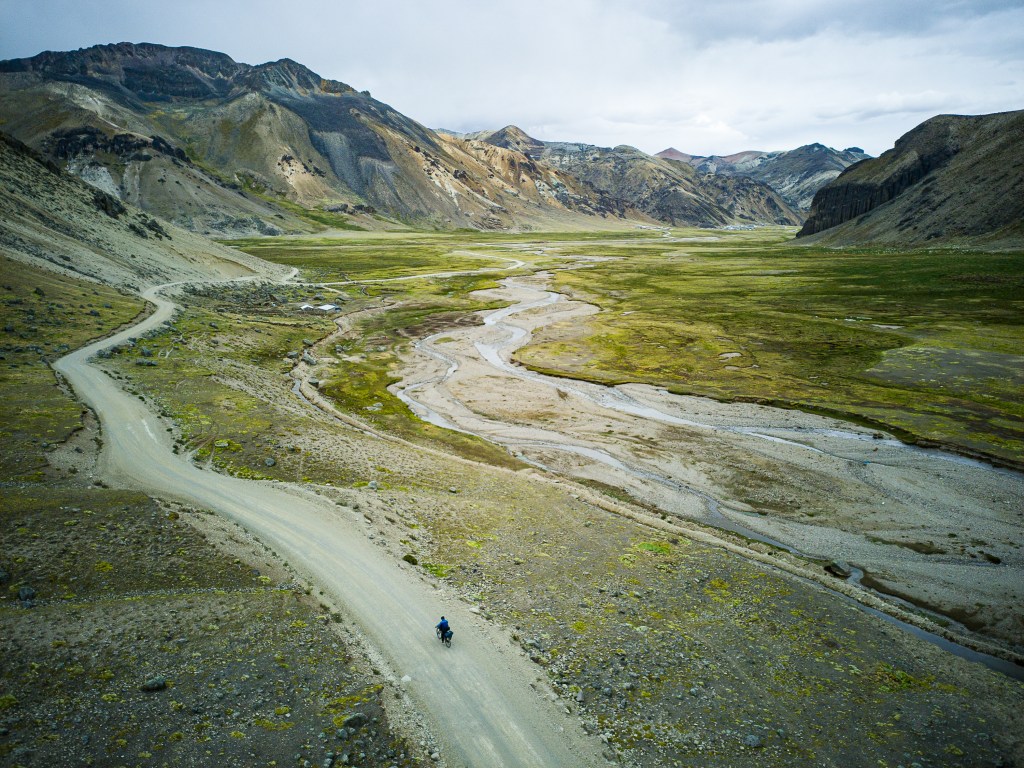
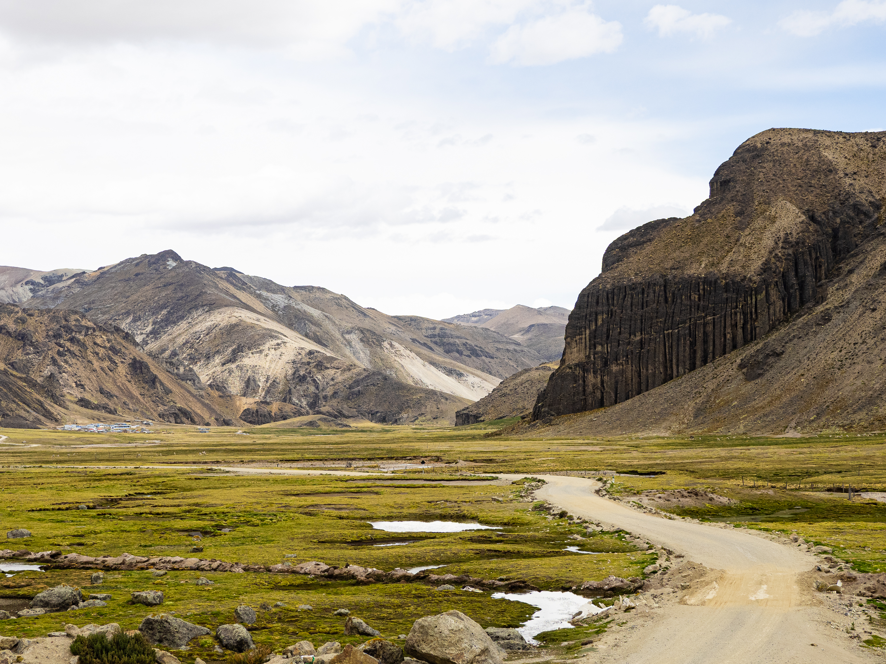
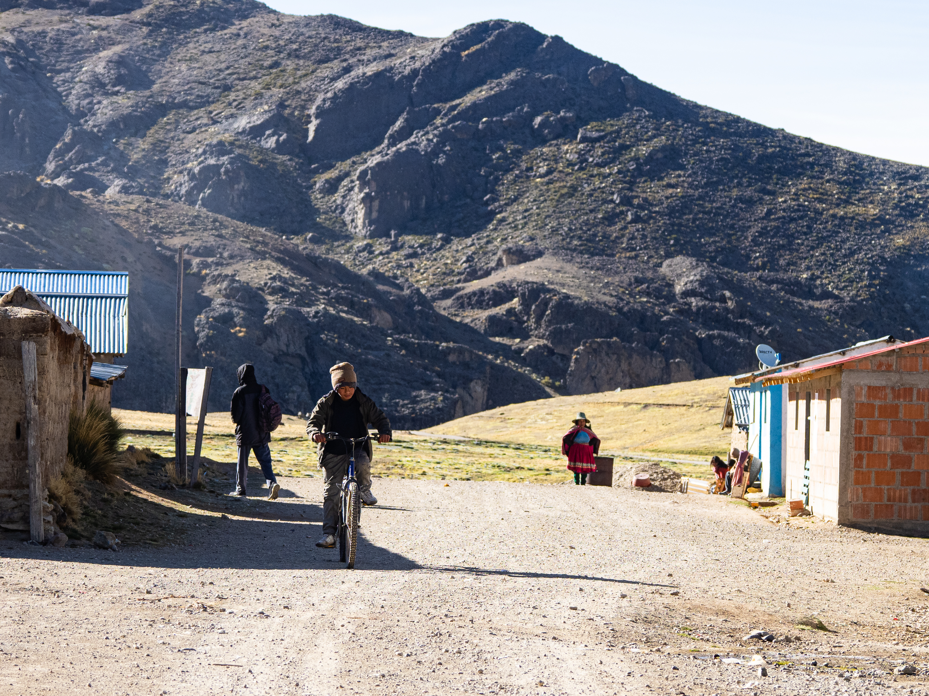
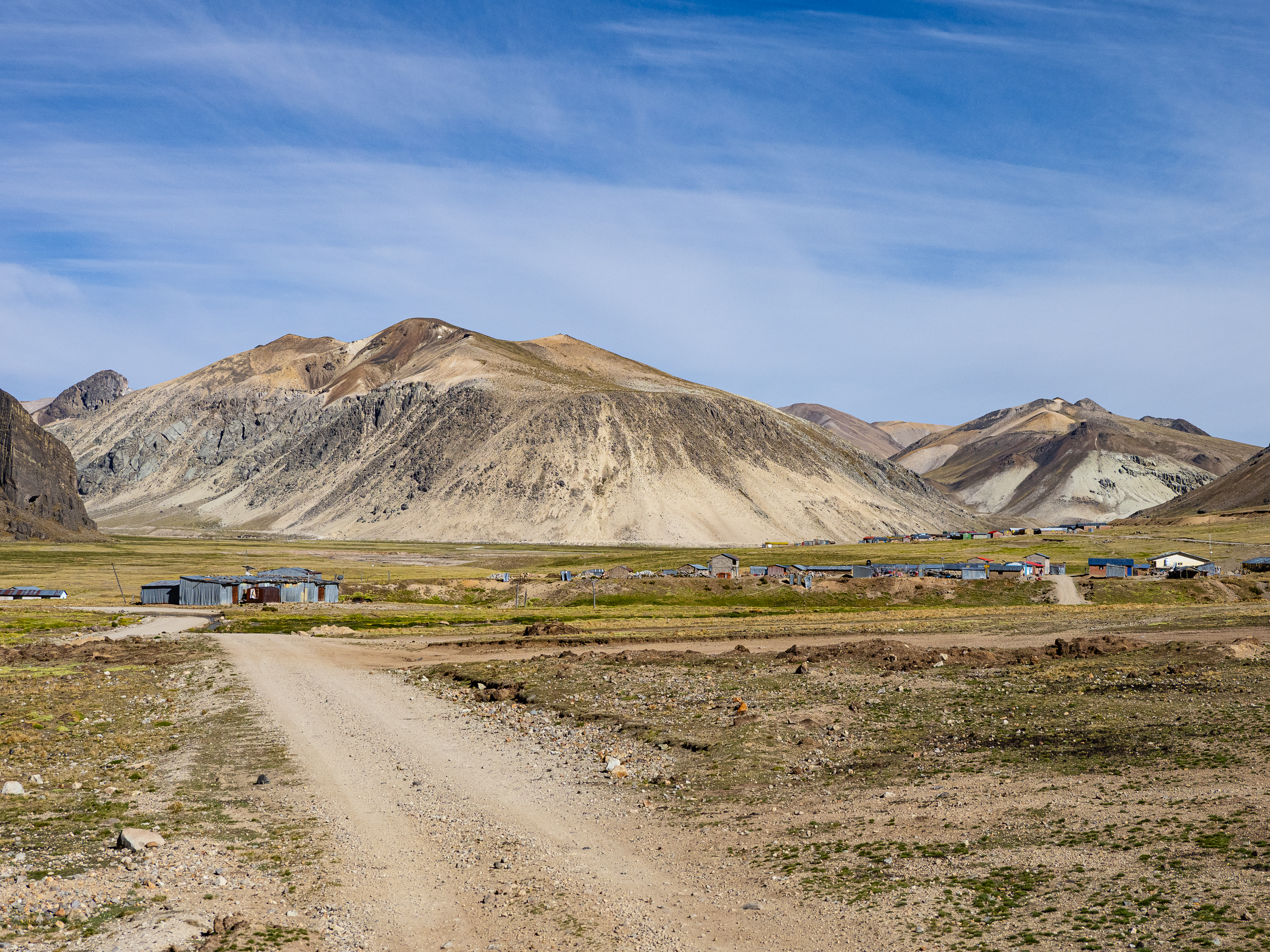
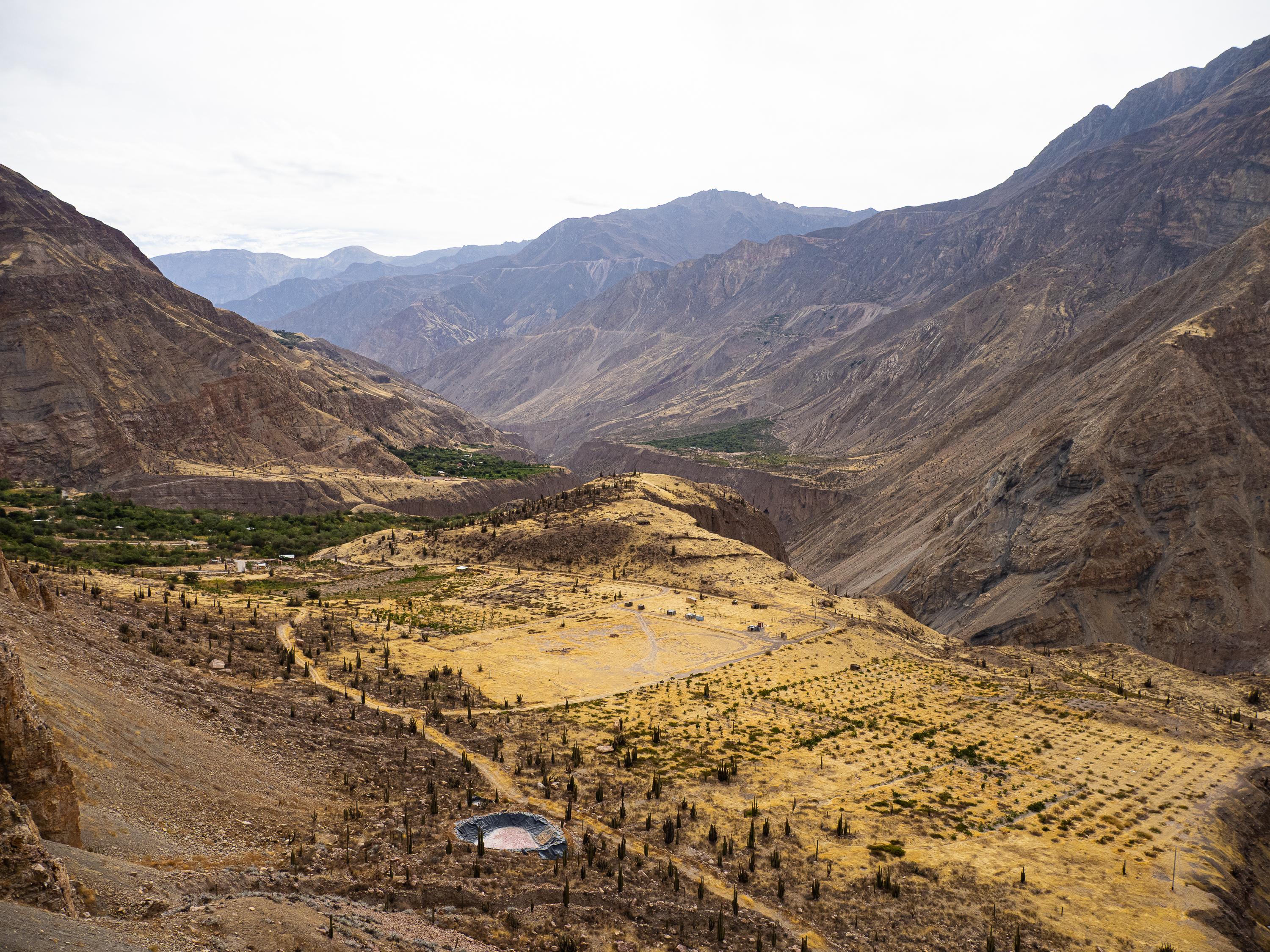
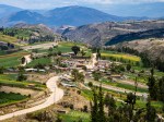
Eventually, I veered off the main road and took a spur to the village of Huarcaya. Another bikepacker a month ahead of me had posted that they slept at the health clinic and there was power and internet there, so it seemed like a good destination for the day. The road took me into a beautiful canyon, which opened up just before the village. Surrounded by lush wetlands and towering cliffs, Huaracaya lies in a stunning location. If it was anywhere near the Gringo Trail, it would be a hotspot of activity. Out here in the middle of the high plateau, it’s simply another hard-scrabble village, home to miners, herders, and the business owners that serve them.
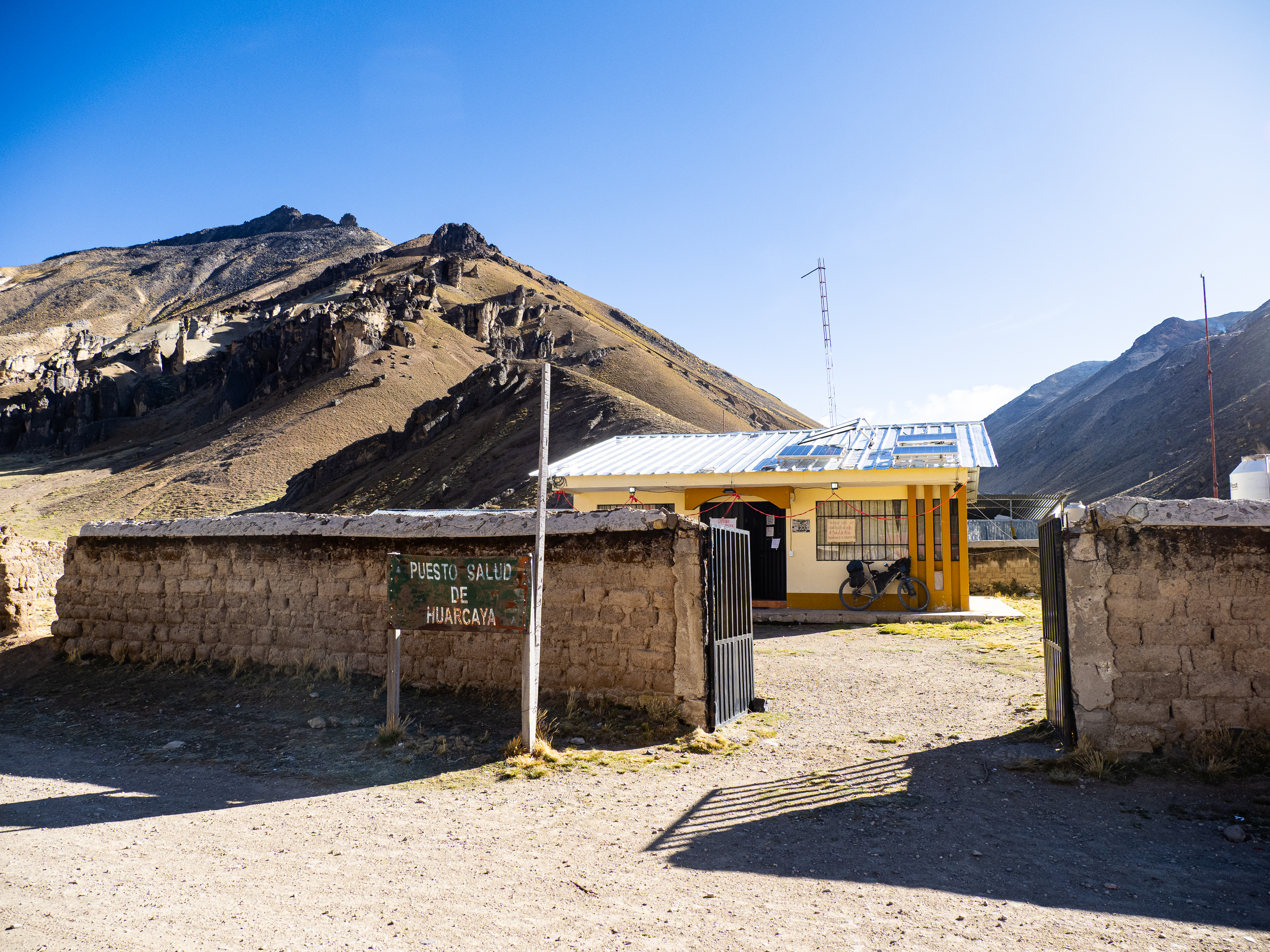
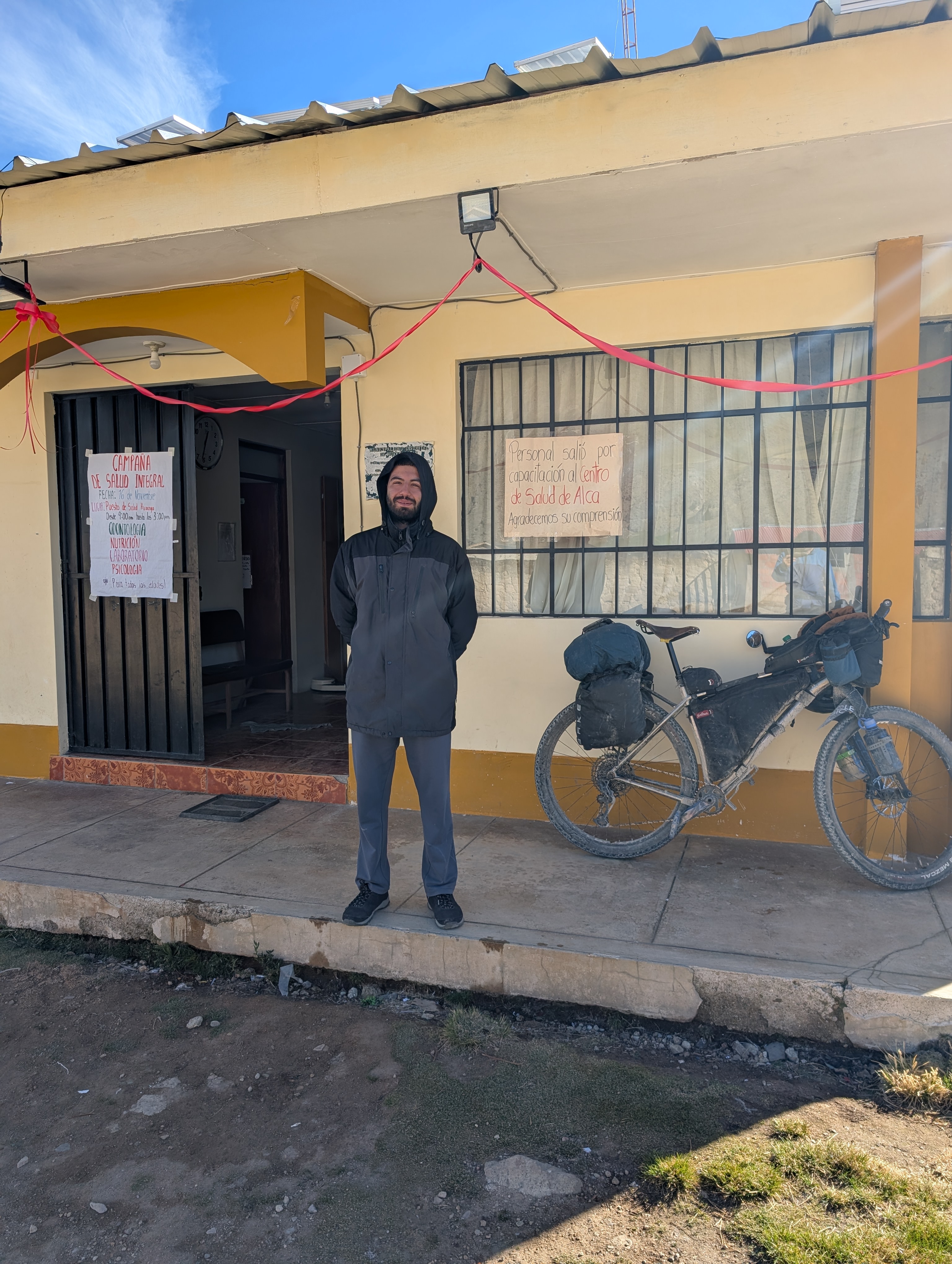
I reached the health clinic and was greeted by Joaquin, a young doctor from Arequipa. It was only mid-afternoon, so I considered heading further down the valley to camp somewhere. But Joaquin was insistent that I stay and offered me a spare office to sleep in. So I settled in and enjoyed a cozy night inside the clinic. It was welcome after my cold sleep the night before.
Leaving Huarcaya, I saw a sign for some hot springs. I wish I would have seen that earlier, because I would have loved to have camped by them. Oh well!
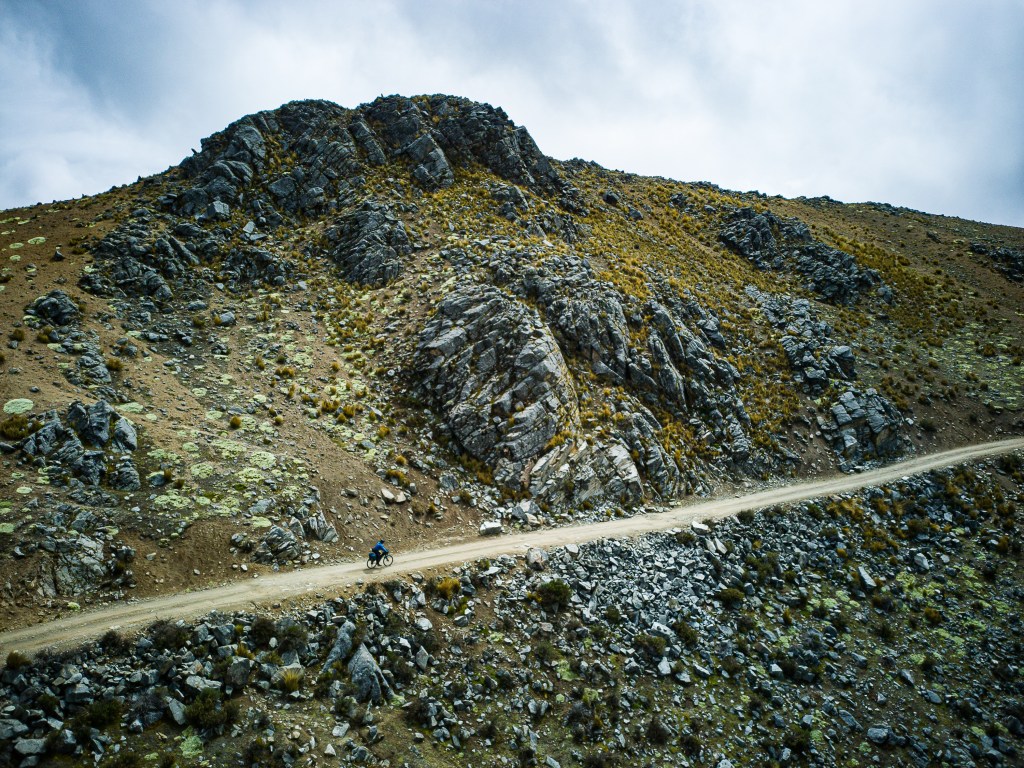
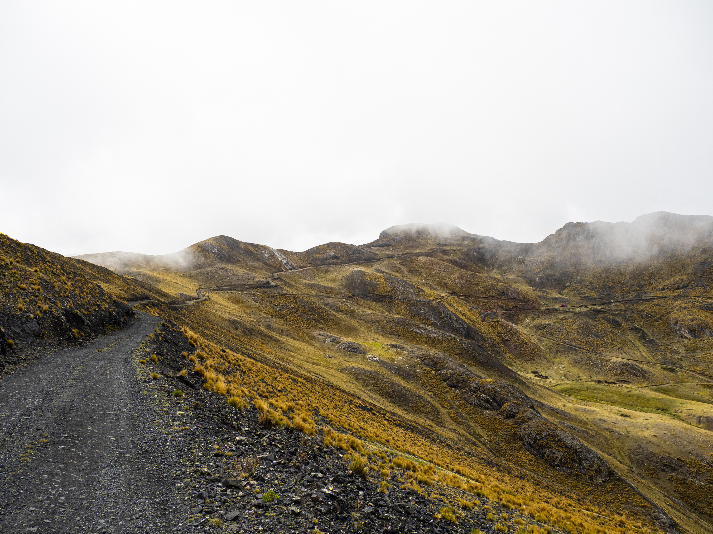
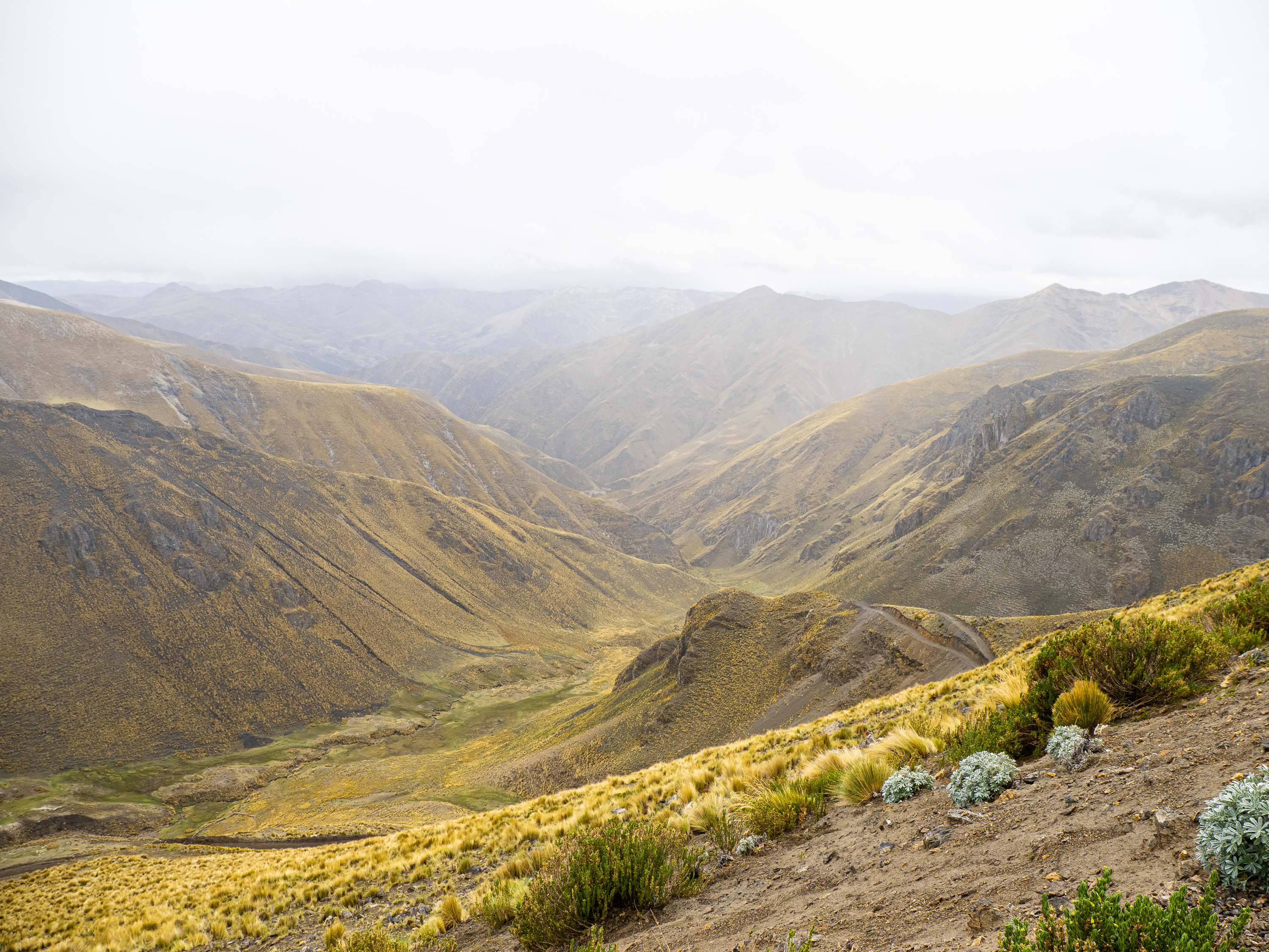
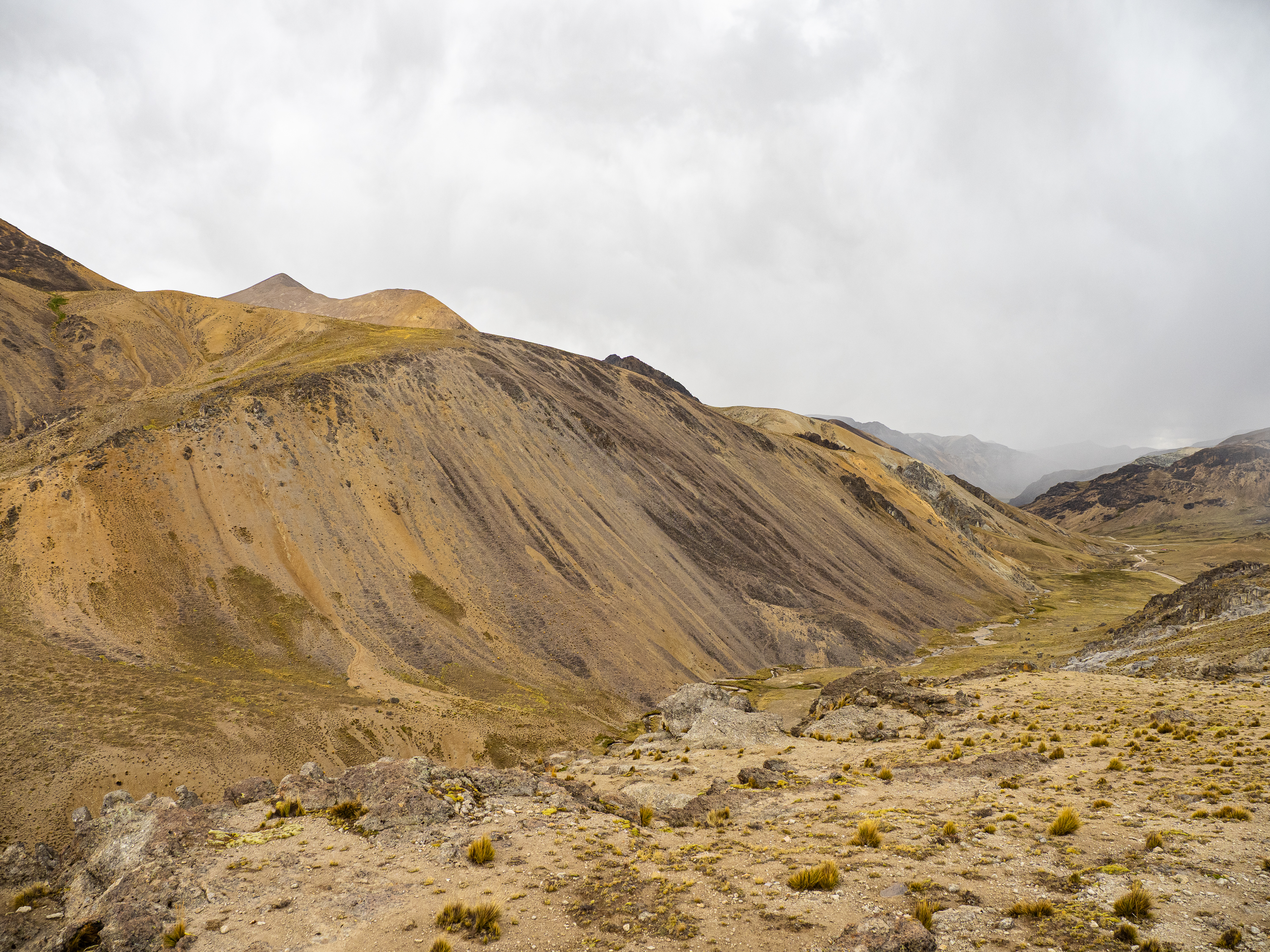
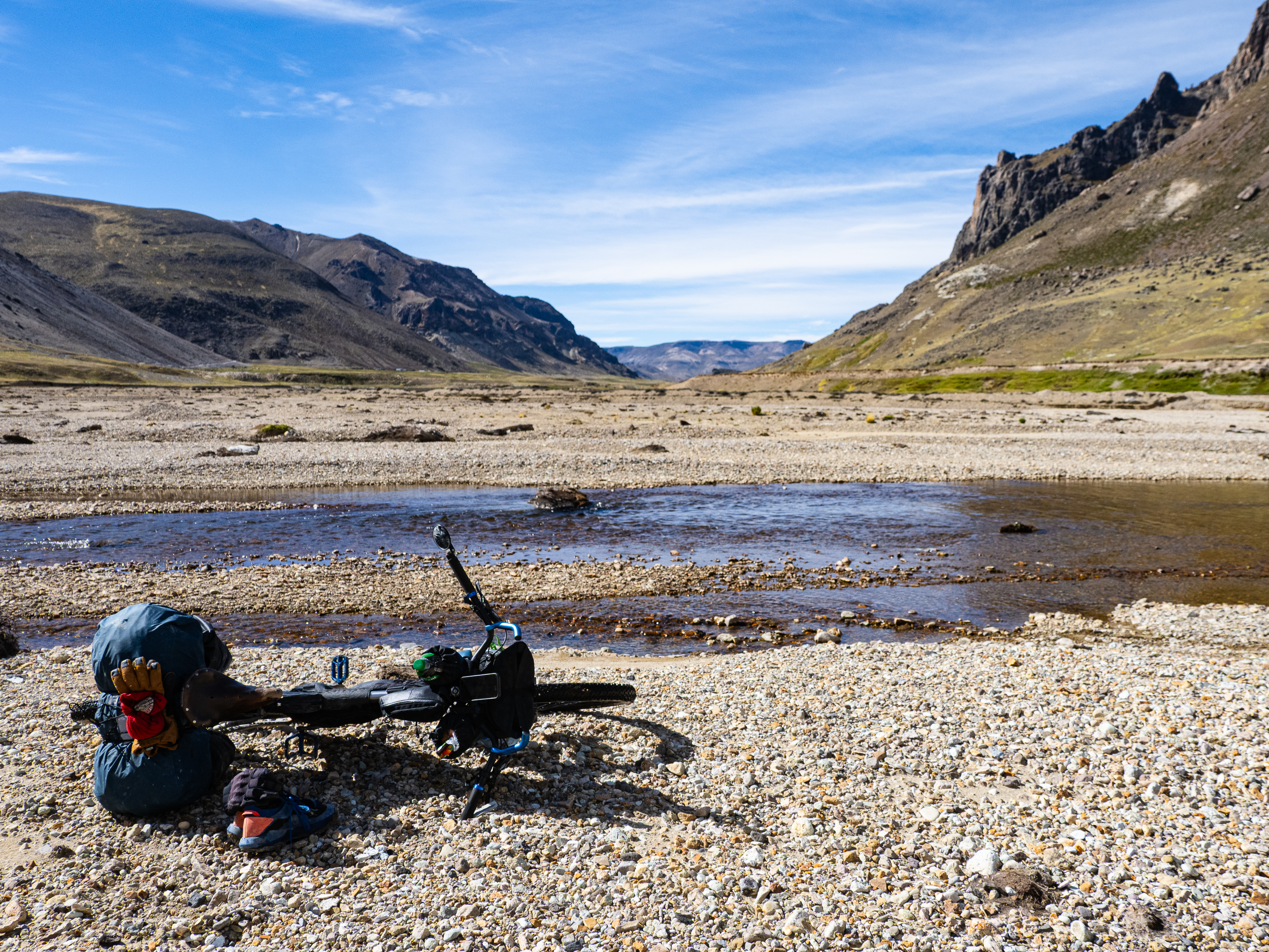
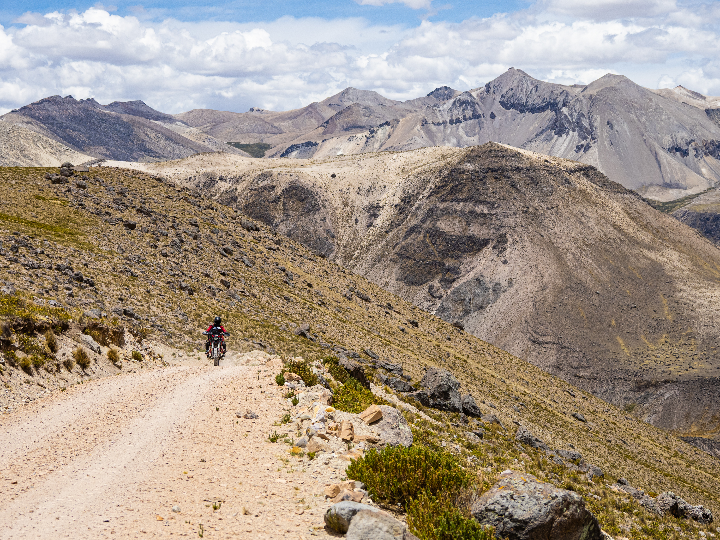
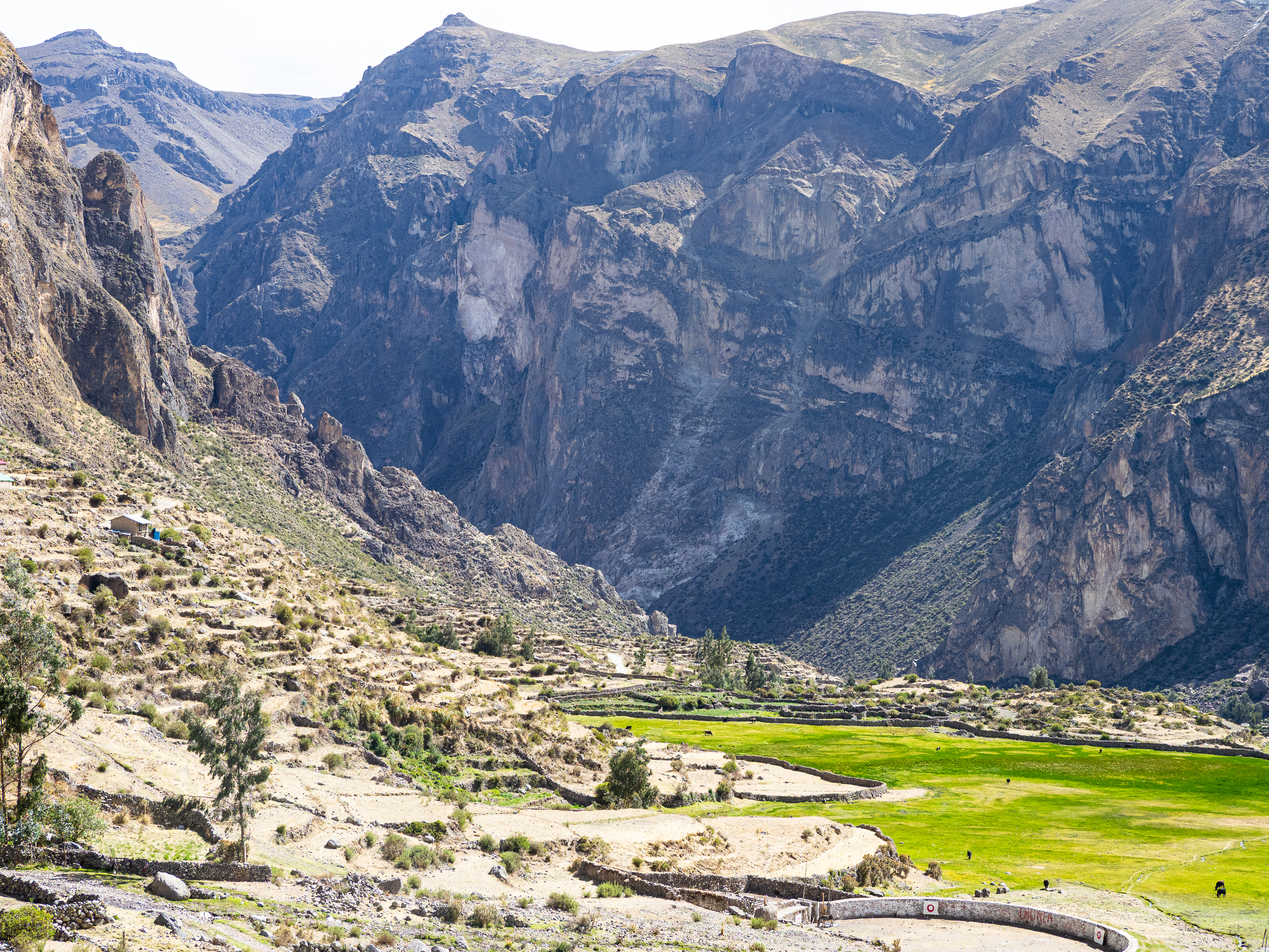
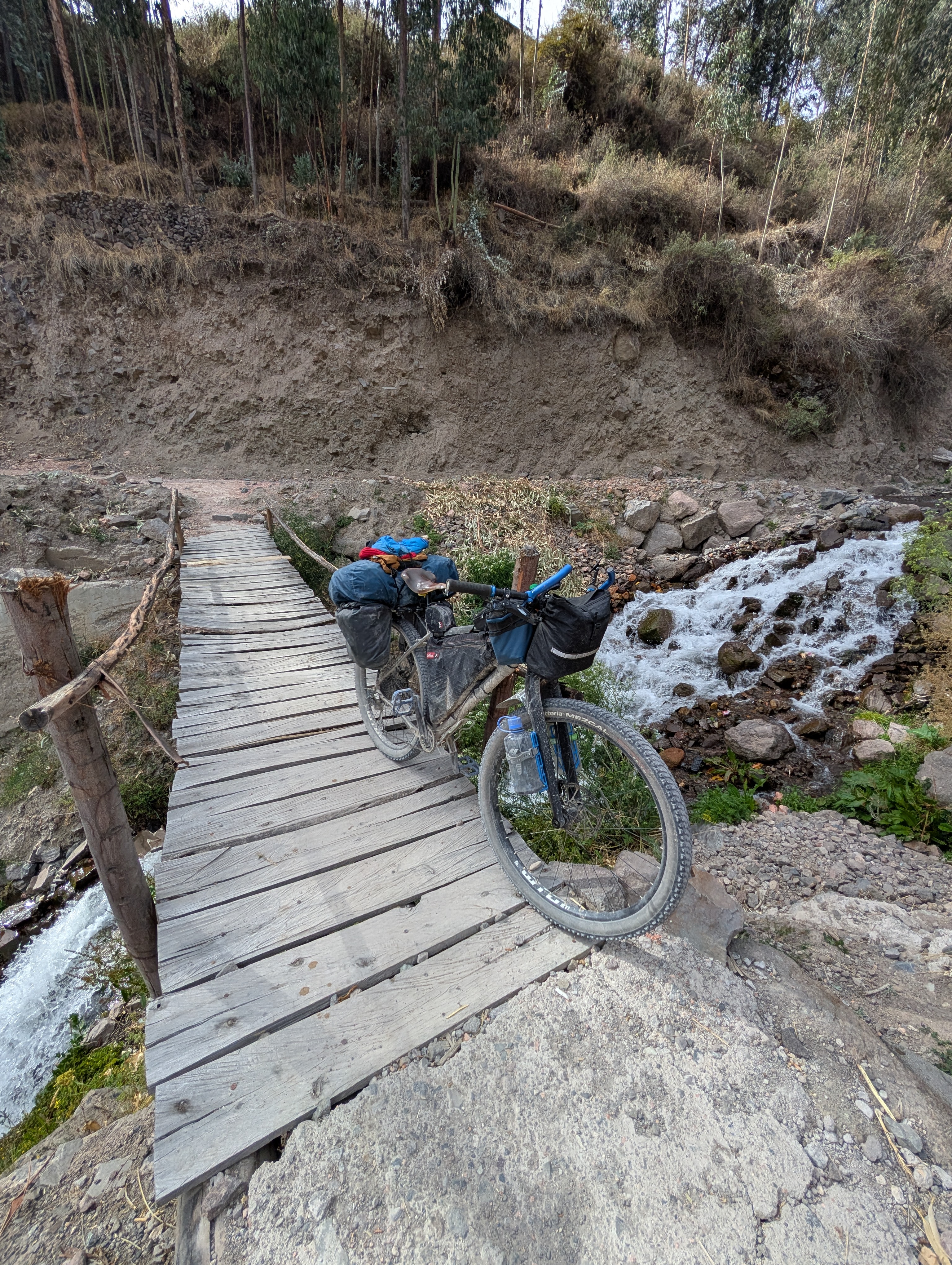
The road took me through yet another beautiful valley. For yet another day, I felt spoiled to have such amazing dirt roads all to myself. The first 20 kilometres was slow going, with the rough road surfaces and endless incredible vistas slowing my progress. Eventually I reconnected with the main mining road and began my descent into the far northern reaches of Cotahuasi Canyon.
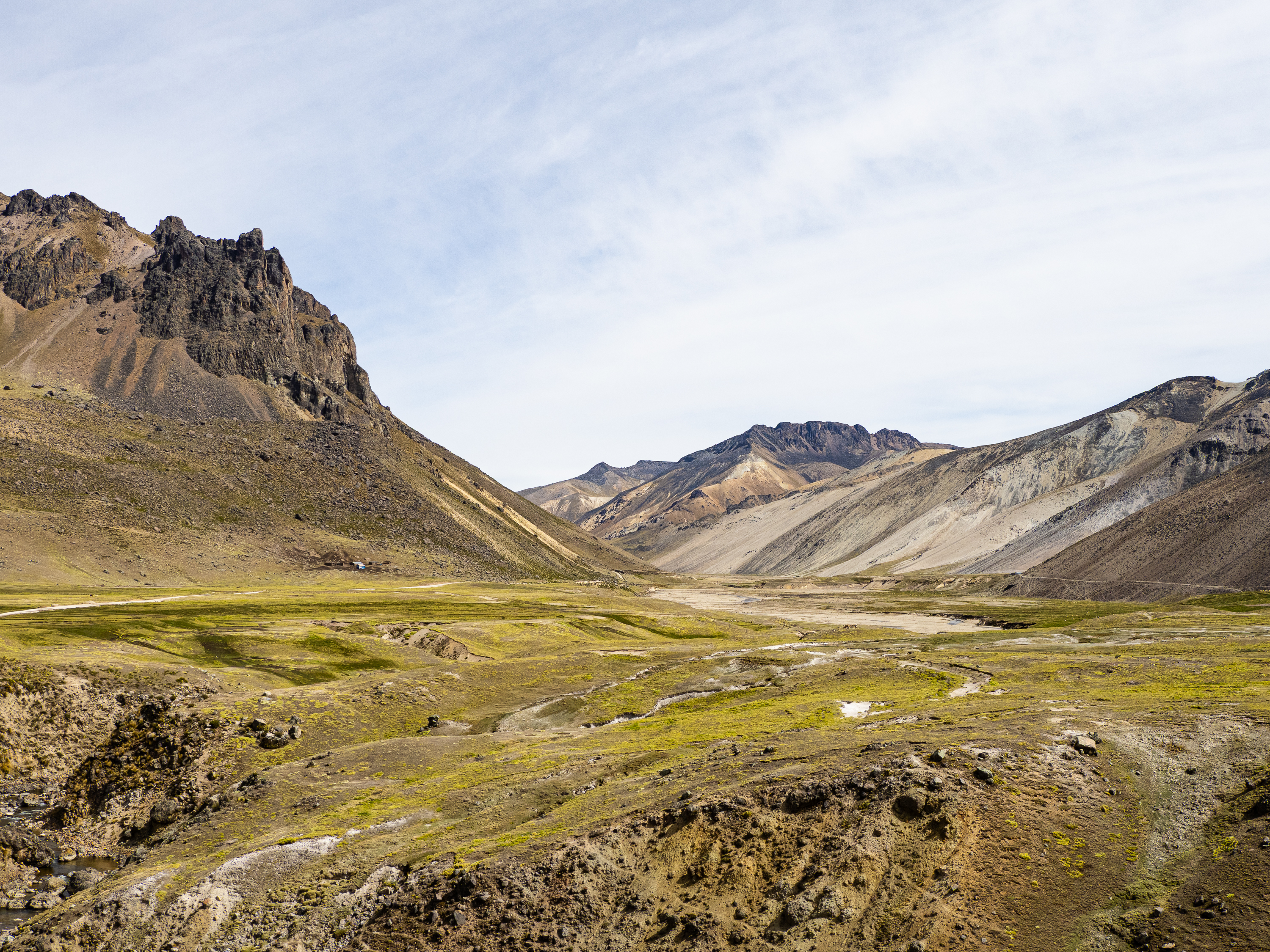
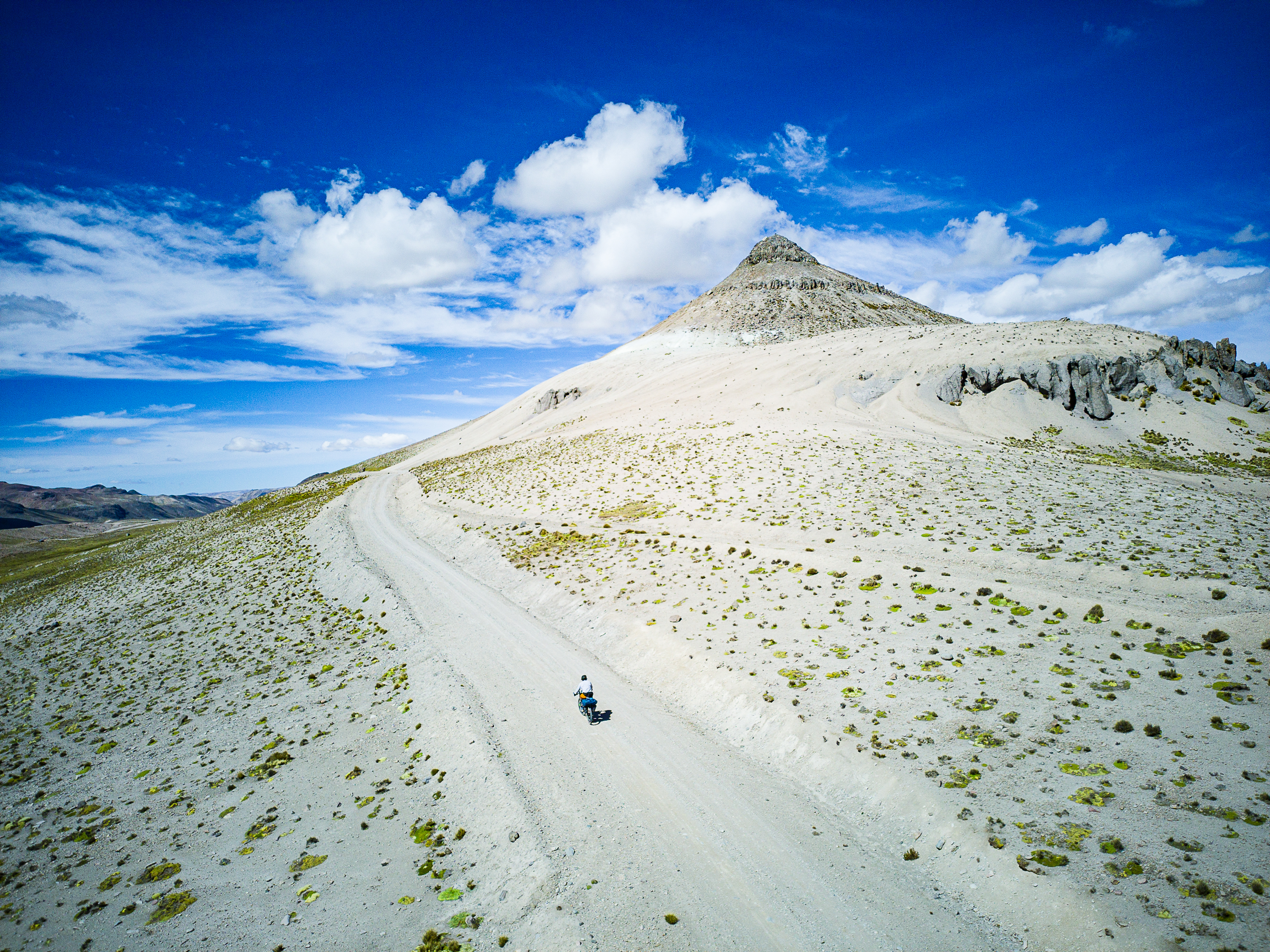
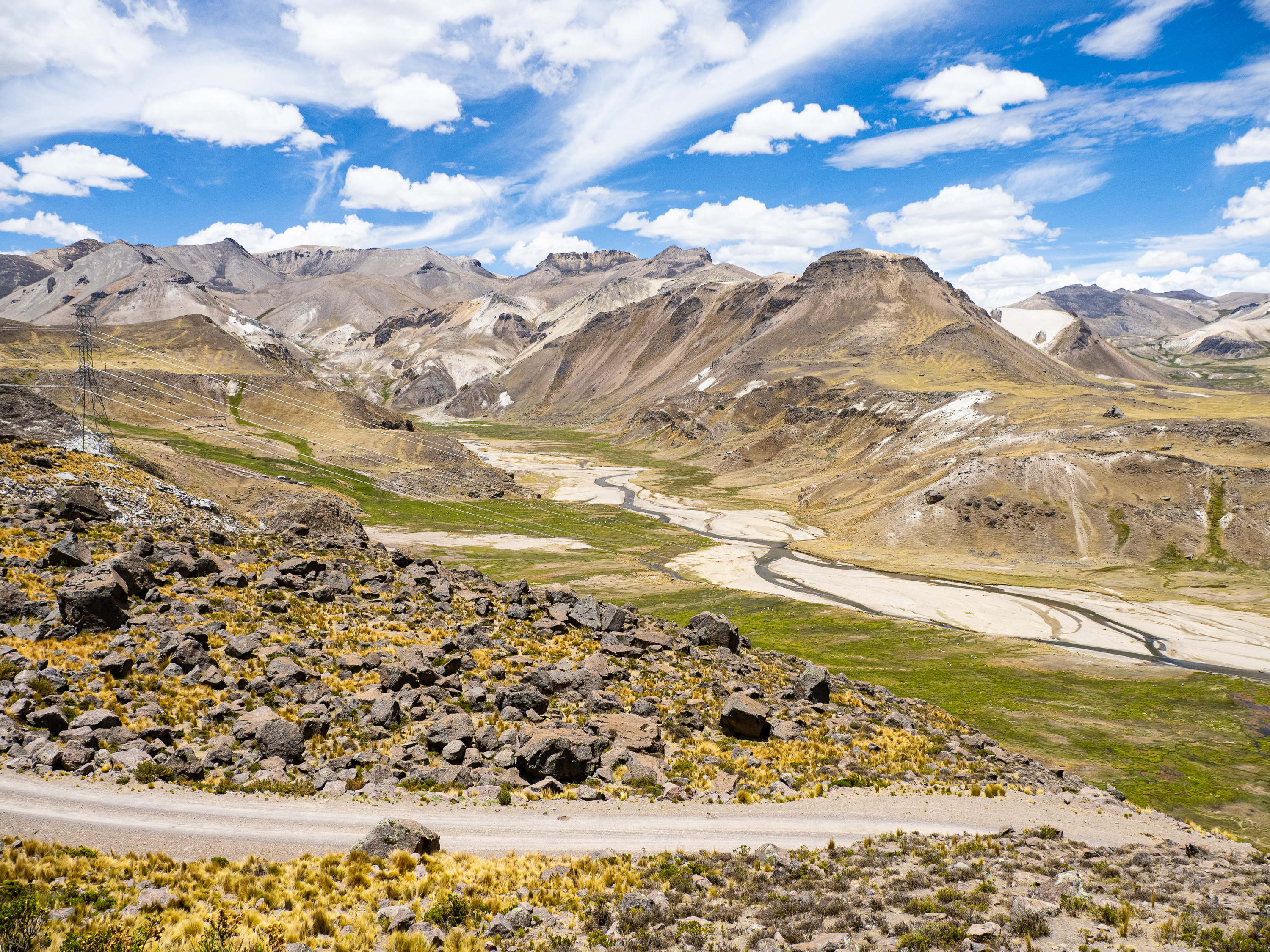
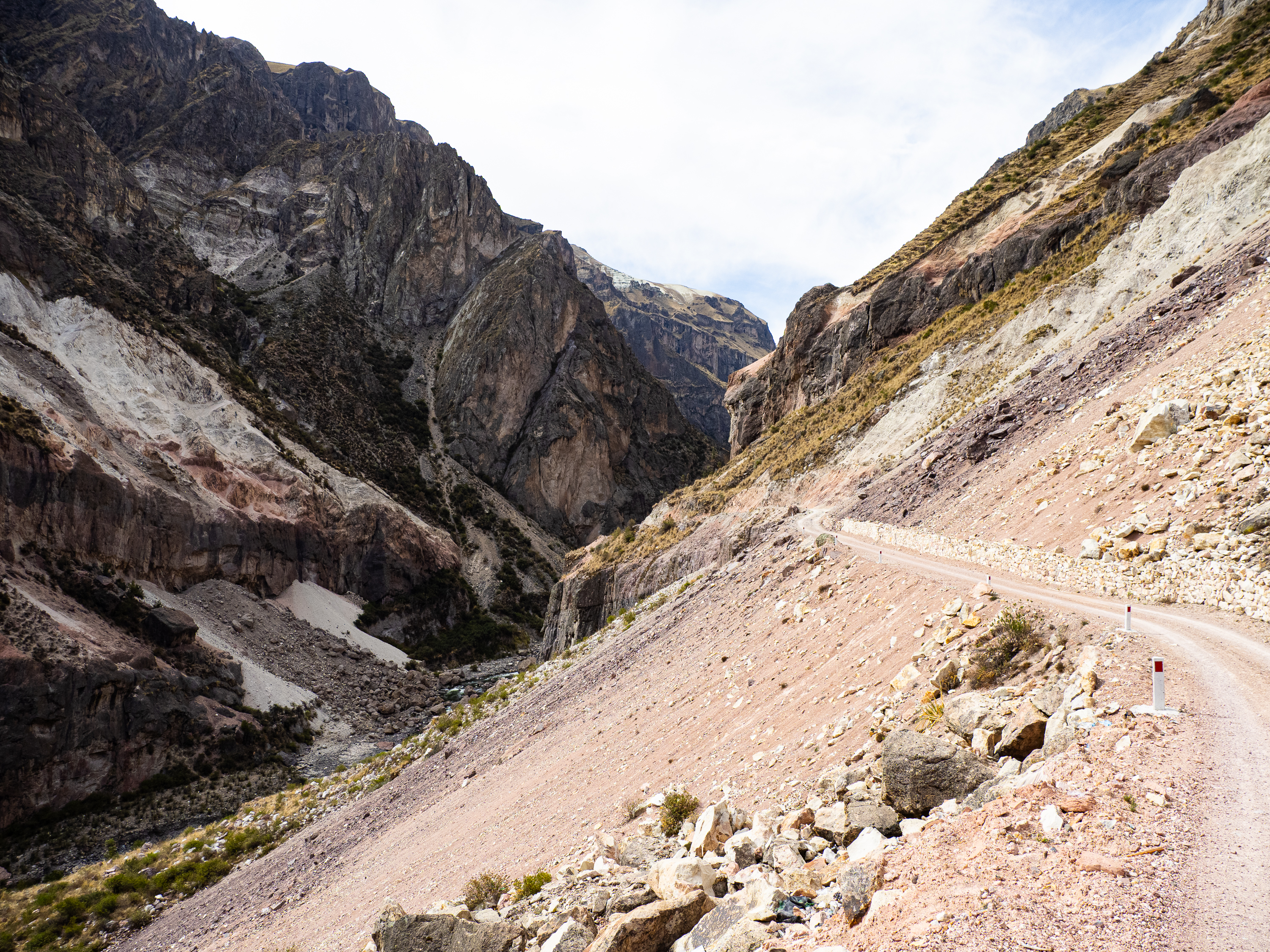
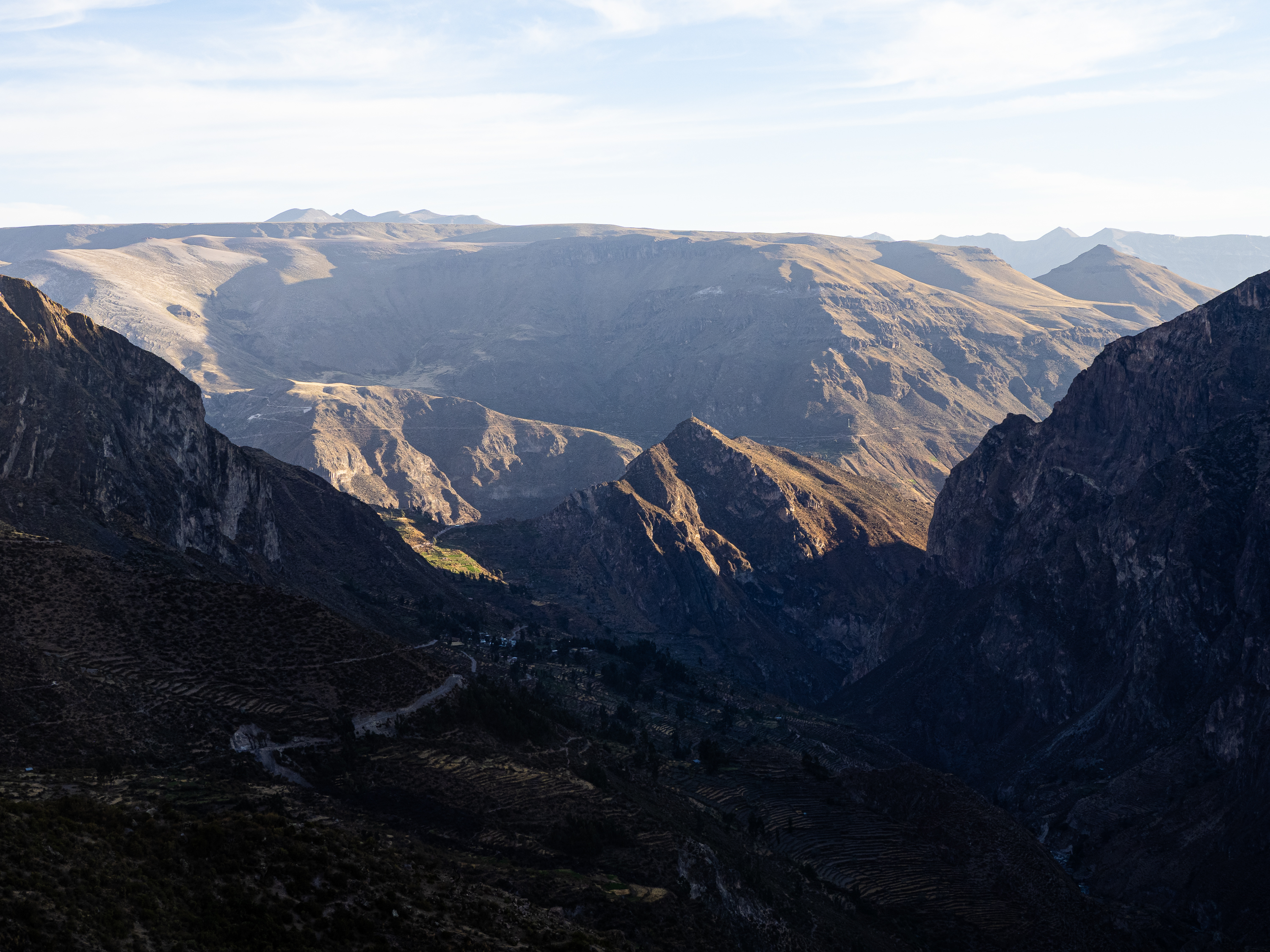
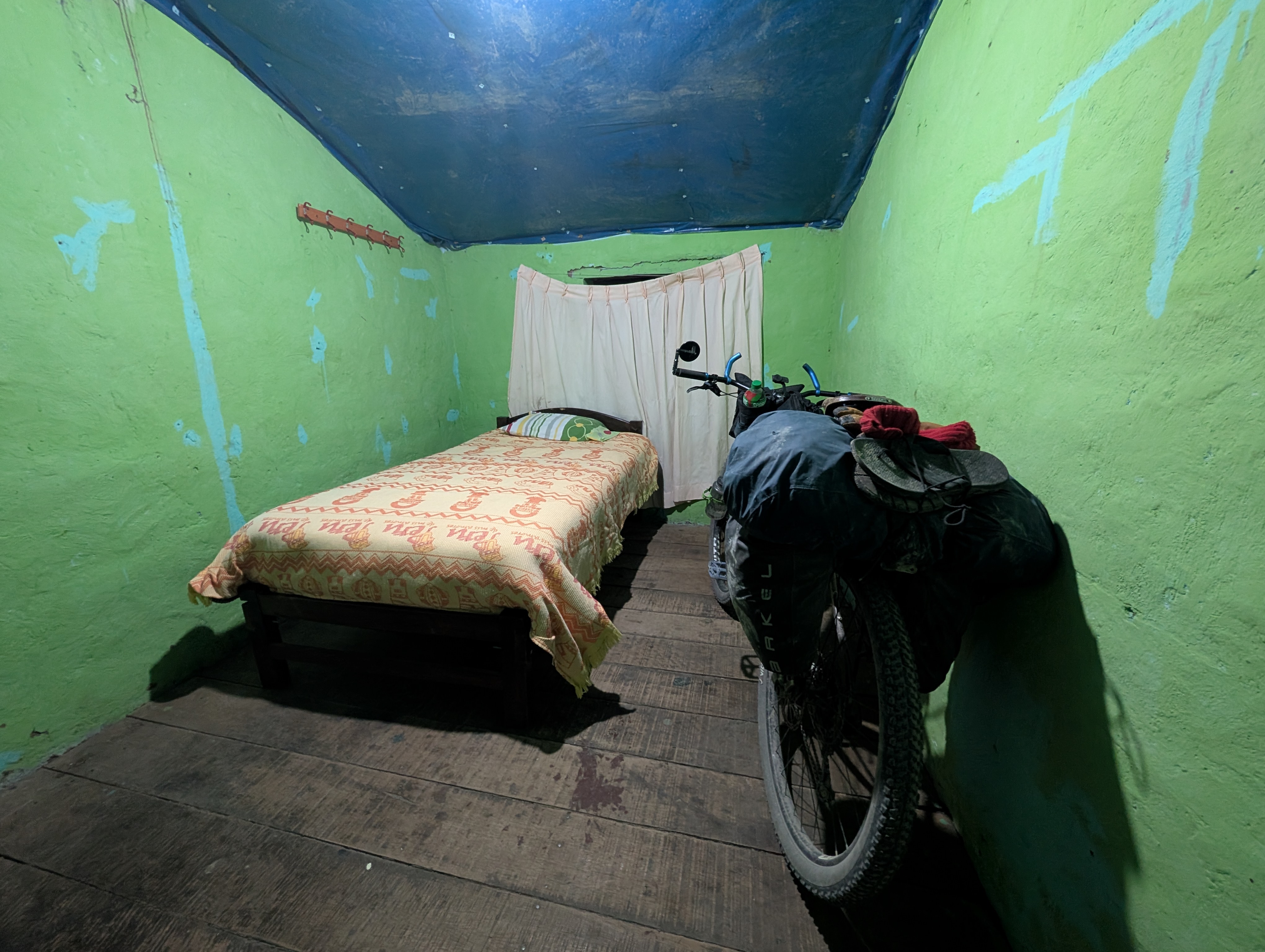
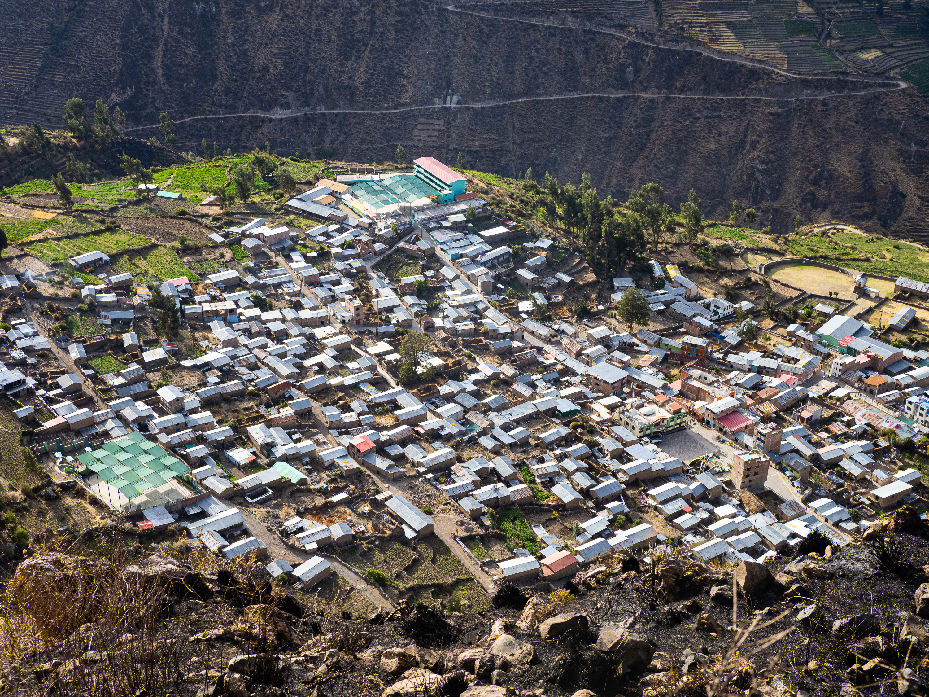
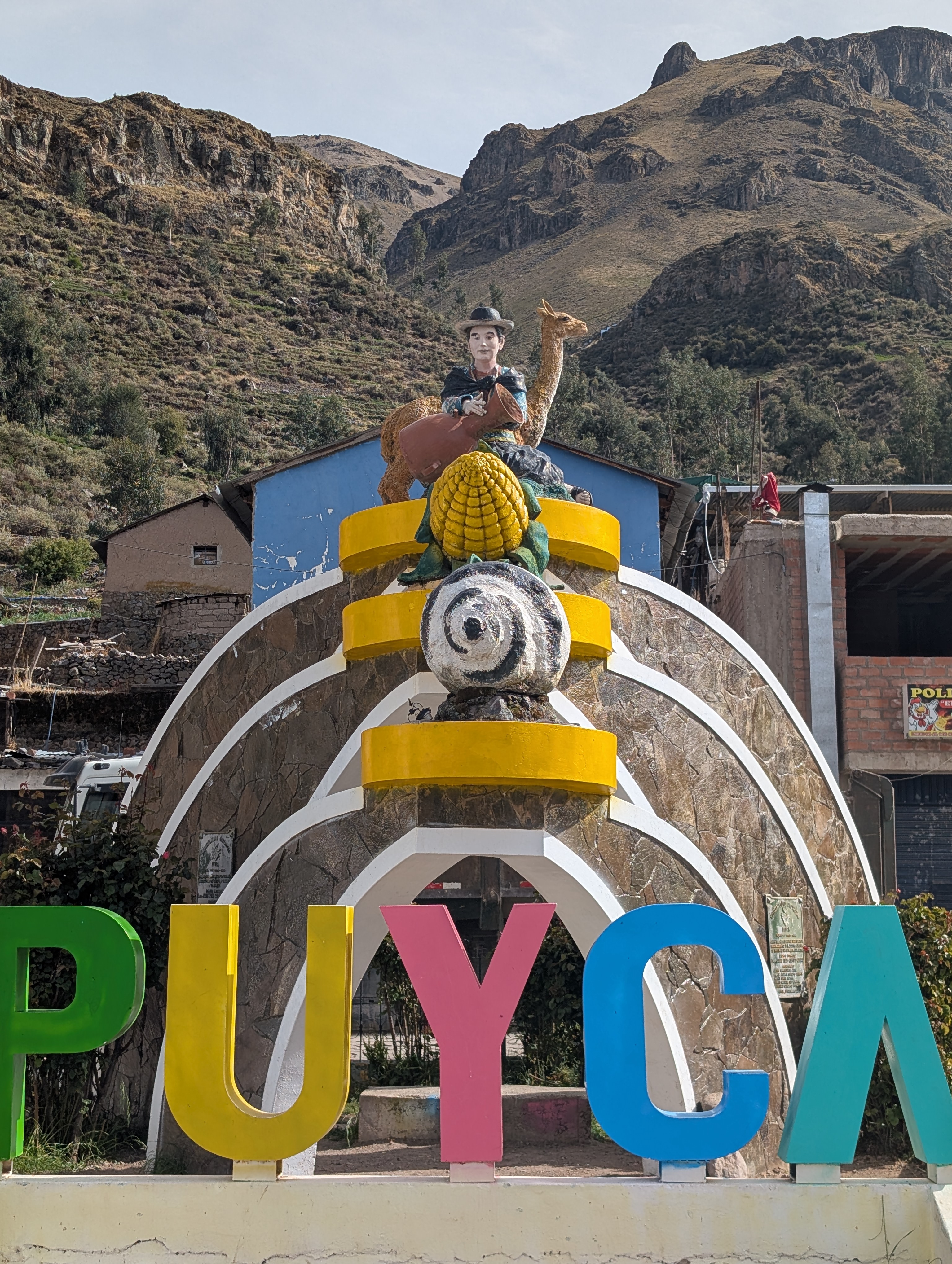
From a height of 4,800m, I descended past small villages as the treeless puna gave way to the agricultural canyon. But the canyon does not let you in easily. Instead, it squeezes through a narrow slot that forces the road to climb 550m uphill. After four days of challenging riding, the climb was a slog, but eventually I found myself pulling into the town of Puyca, where I secured myself a basic room and even simpler dinner for the night.
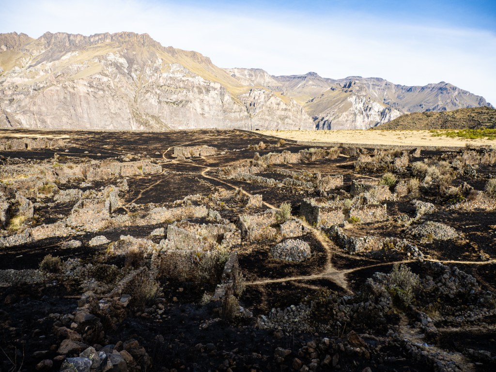
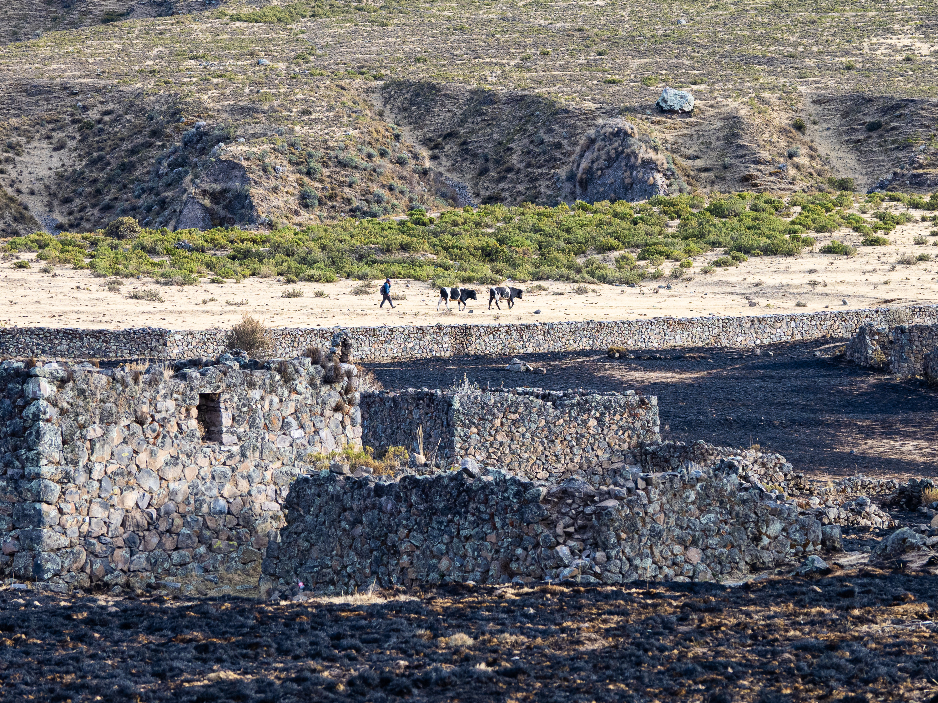
The next morning I was up early so I could hike up to Maukallacta, the remains of a pre-Incan fortress above the town. Located on a broad bench, with vast views down two distant canyons, it was built by the Wari culture around 1,000 years ago. Some of the buildings are still in reasonable condition after all these years.
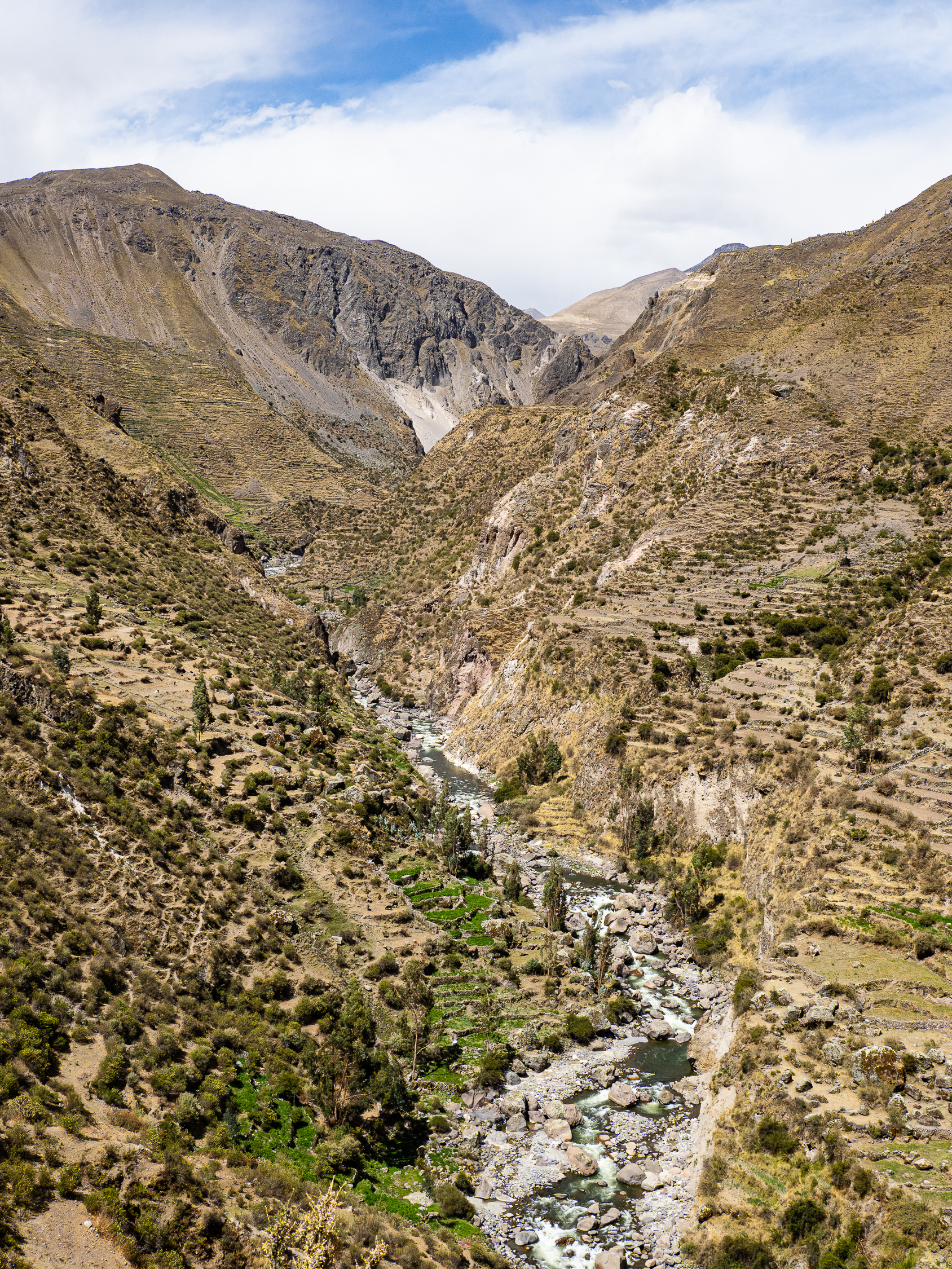
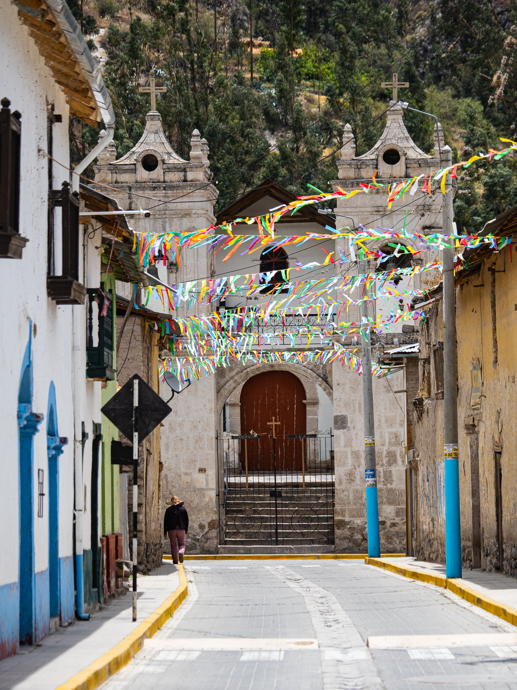
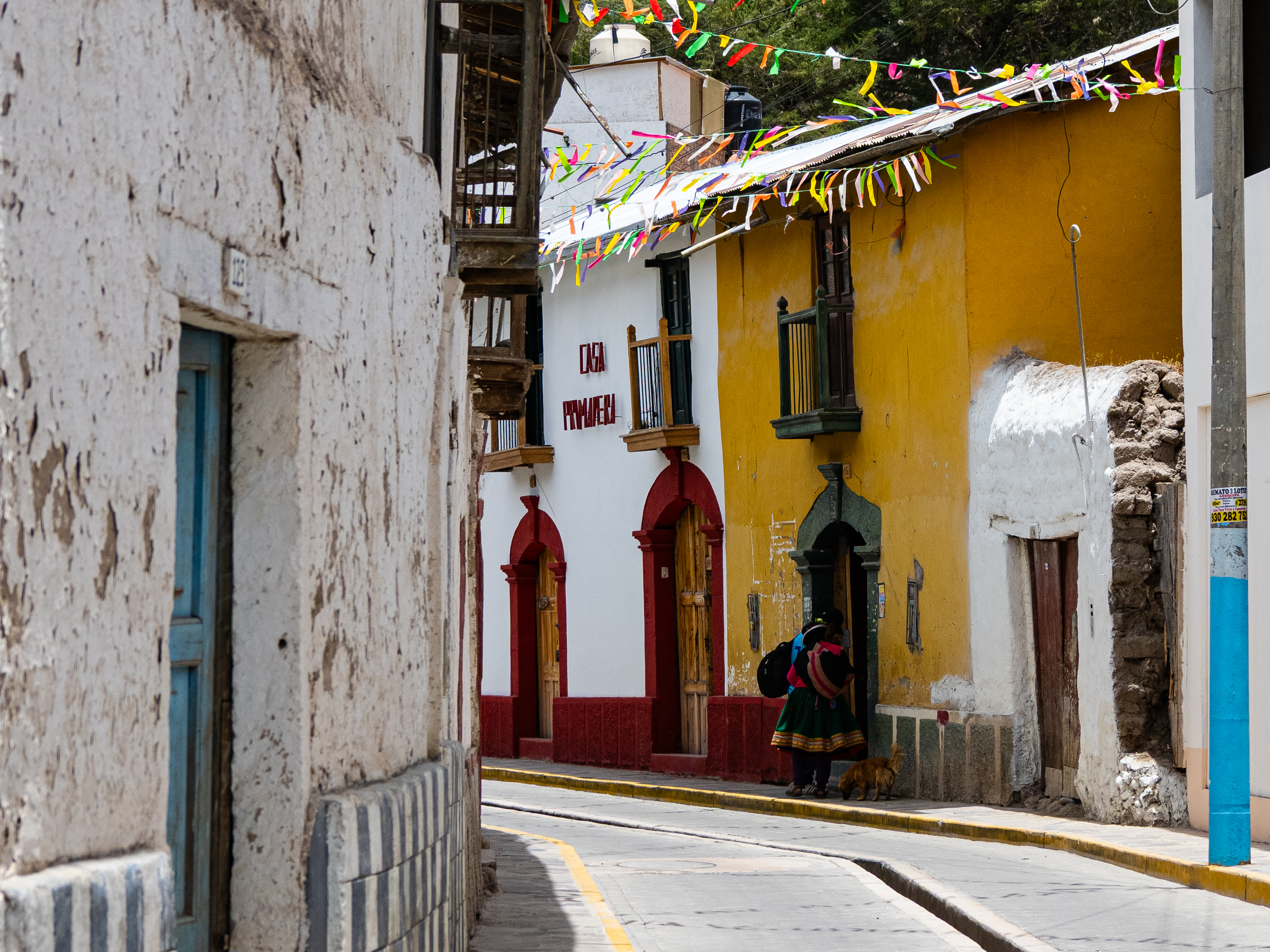
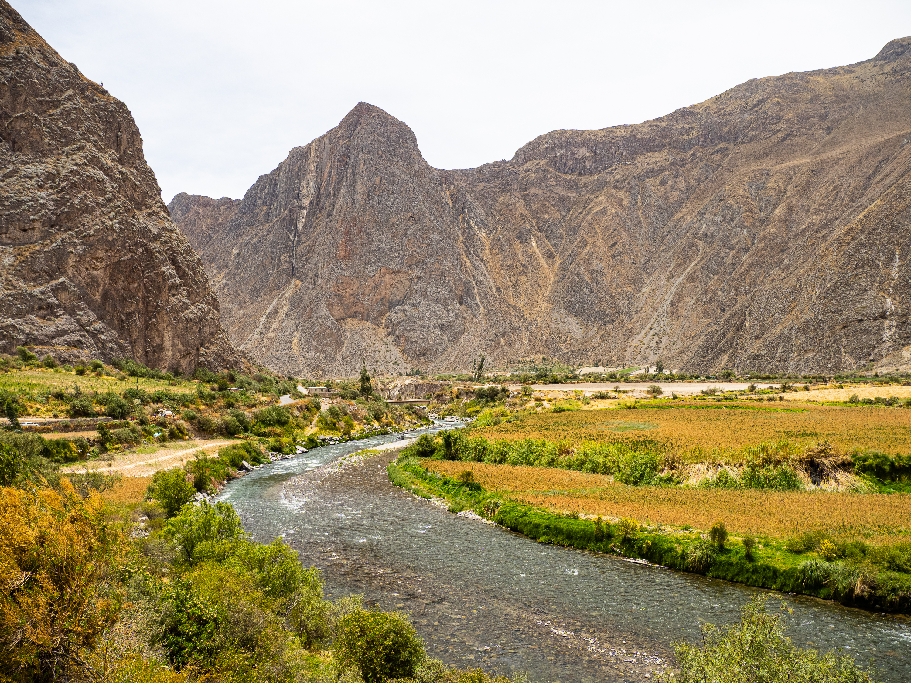
I returned to town, packed up, and found a decent breakfast before rolling away once more. I enjoyed a long descent down to the heart of the canyon, where fields of quinoa spread out along the Cotahuasi River. I passed through two attractive colonial towns before touching pavement again for the first time in 200 km. I climbed the hill into Cotahuasi town, where I found lunch at the local market hall.
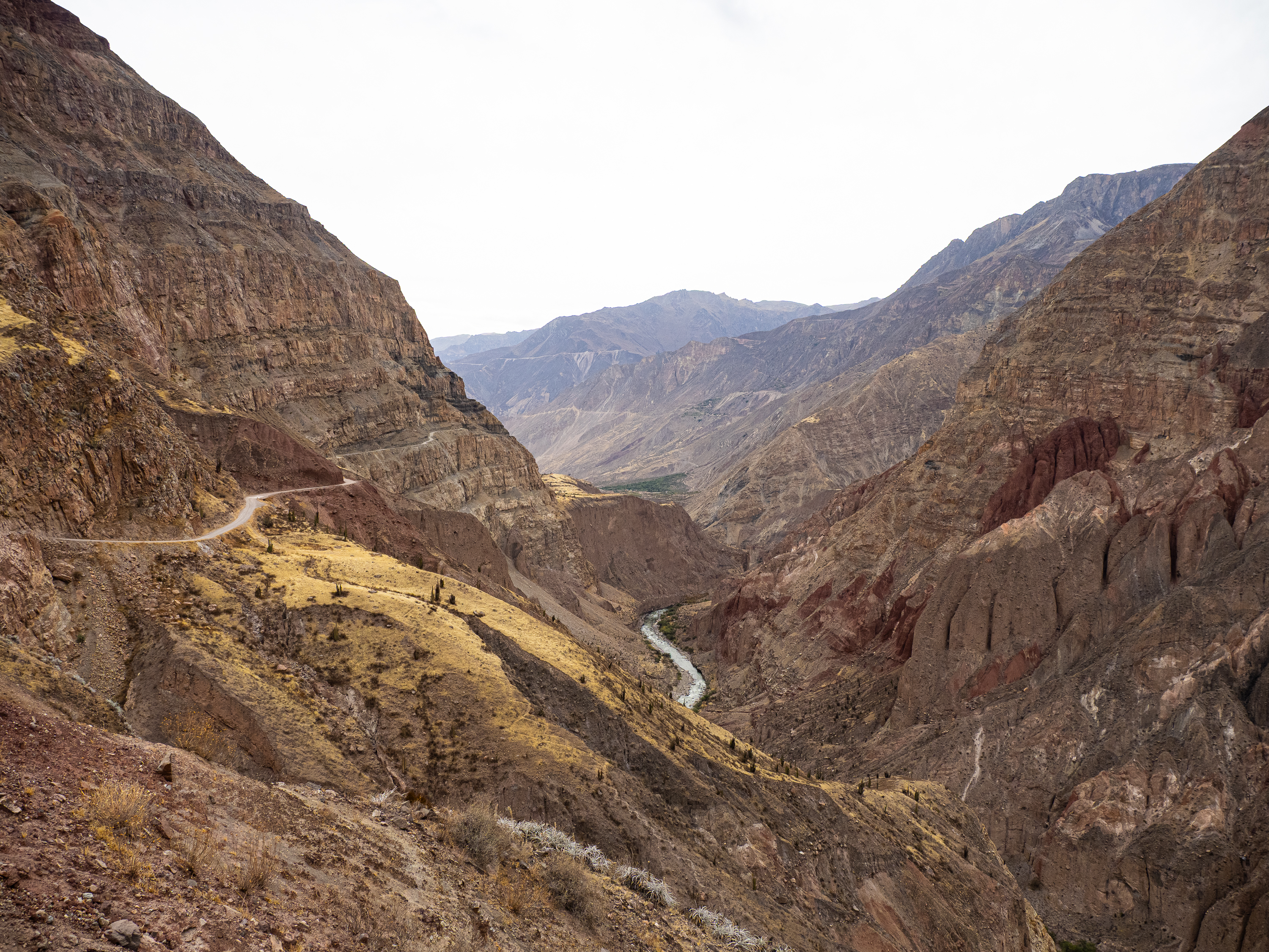
For many, Cotahuasi is the last stop in the canyon. But the road keeps going another 30 km further down, ending at the village of Quechualla at only 1,600 m elevation – 3,200 m below where I started the descent the previous day.
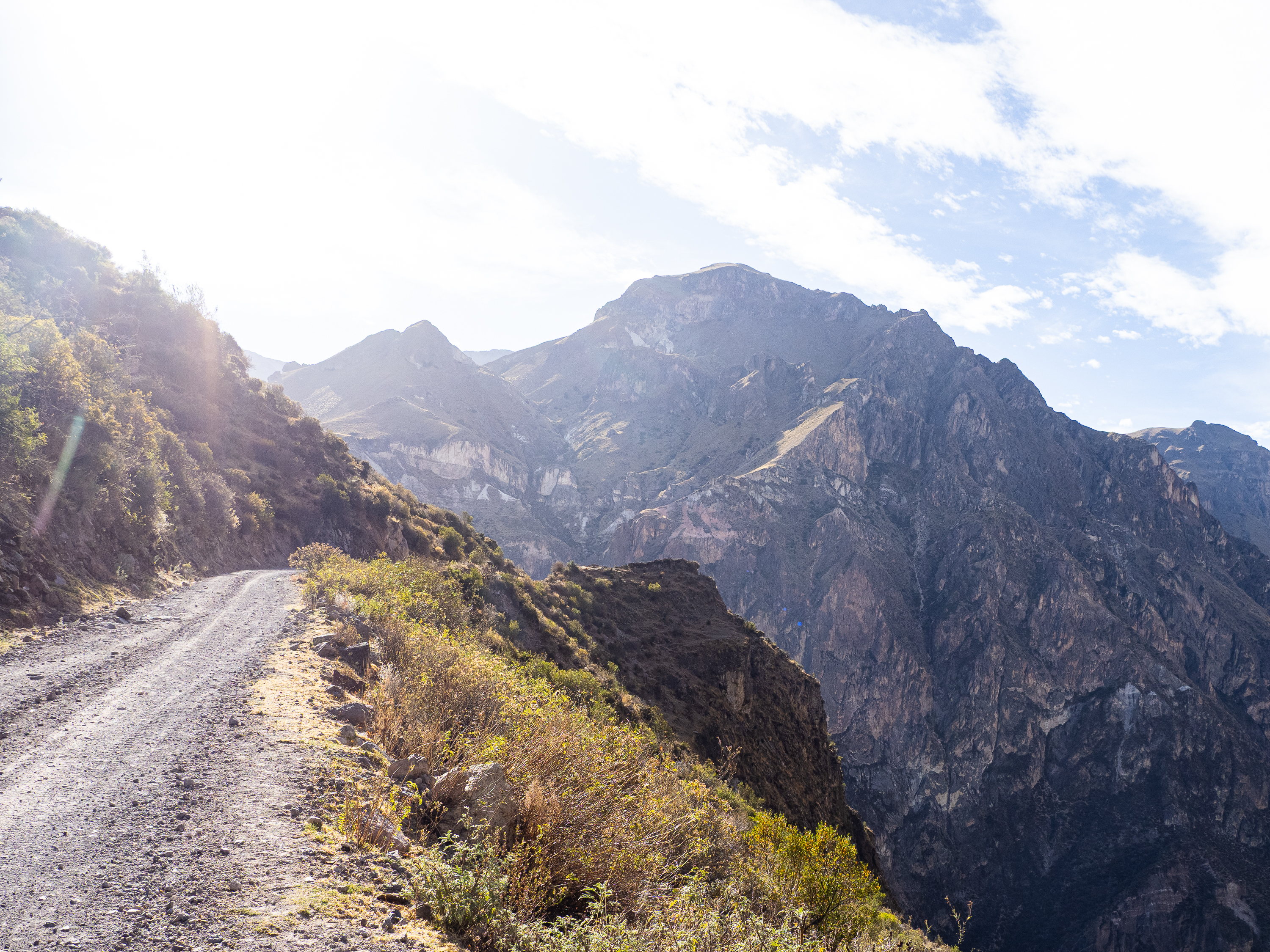
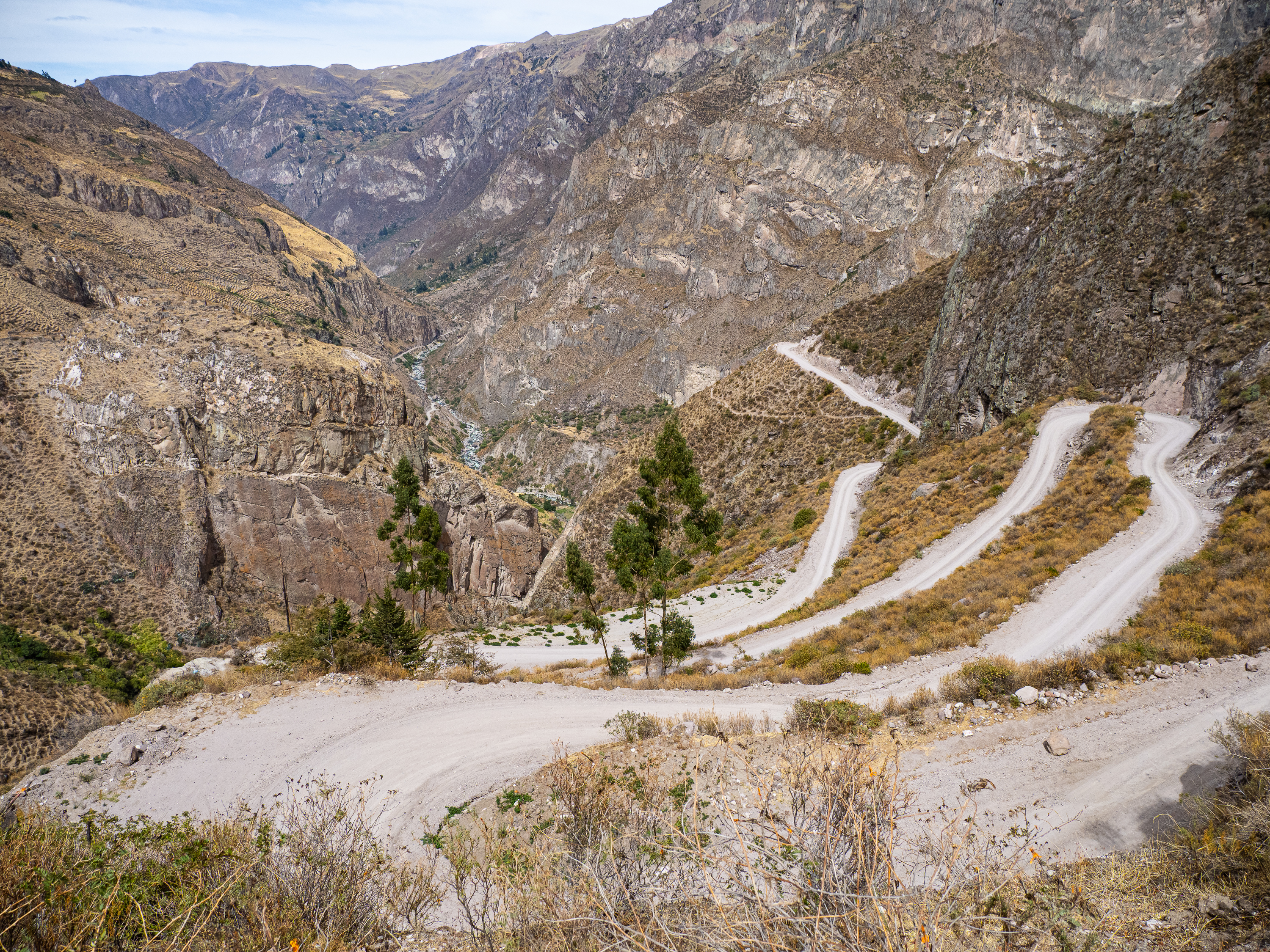
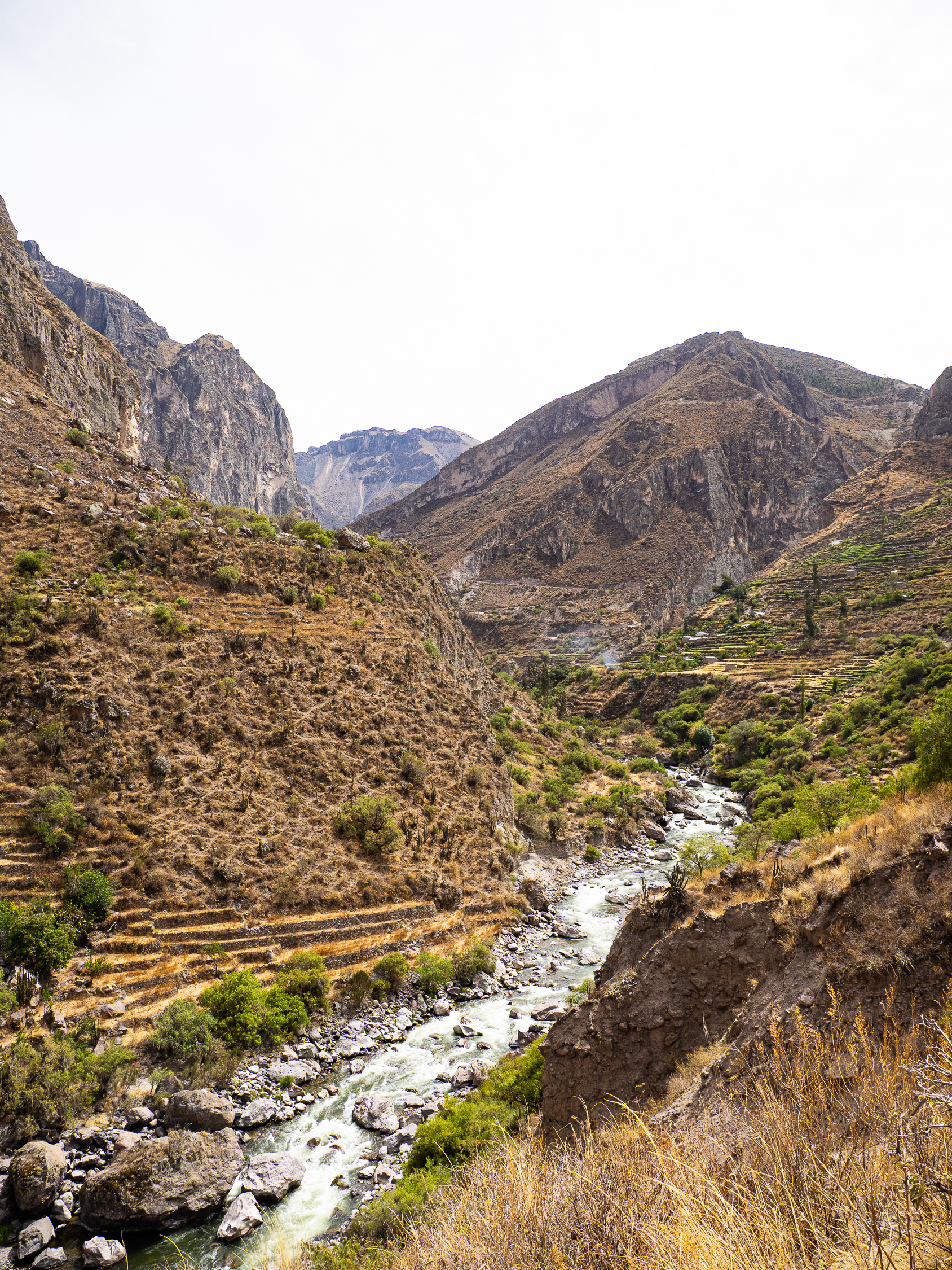
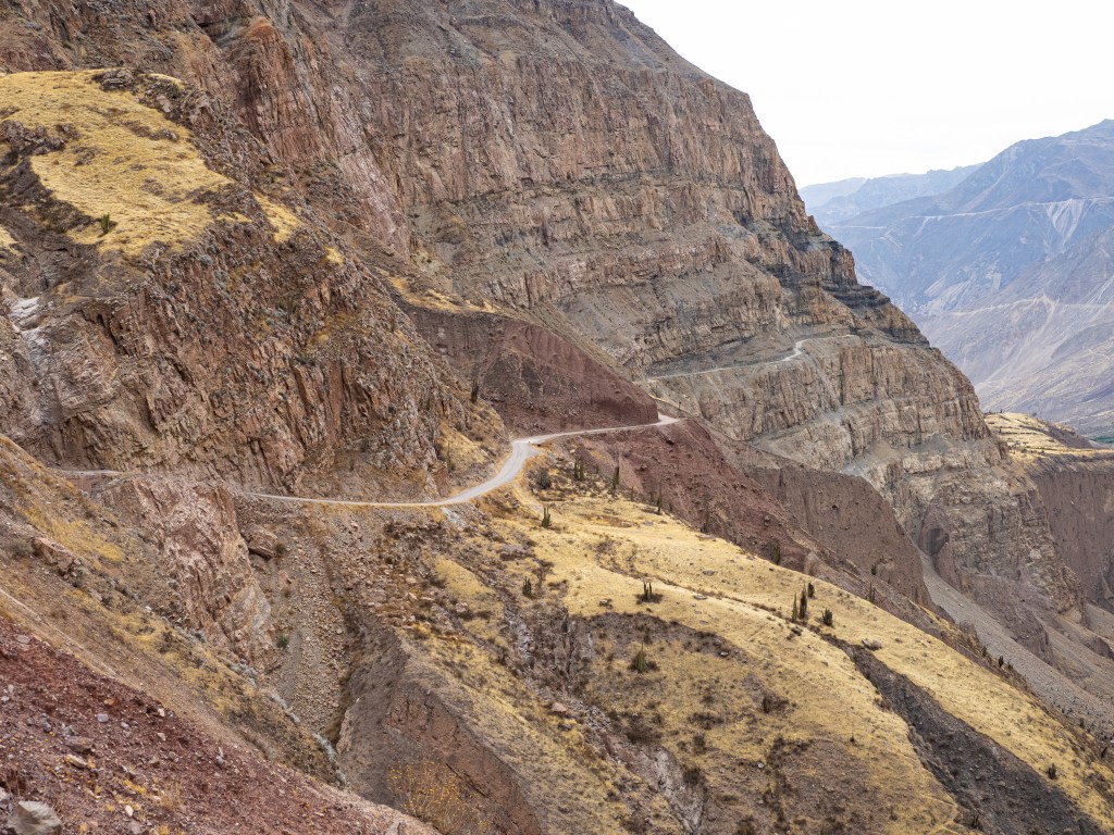
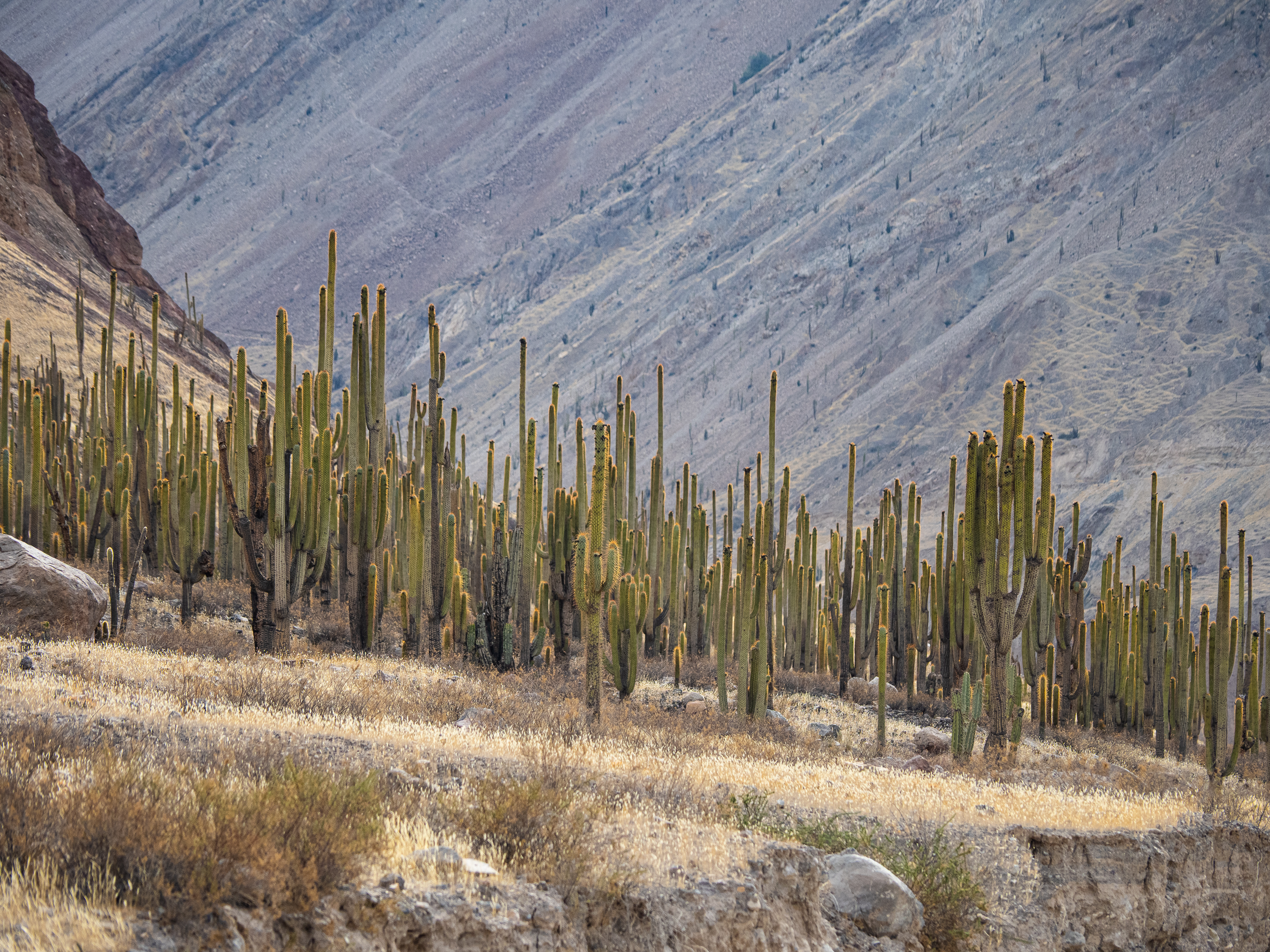
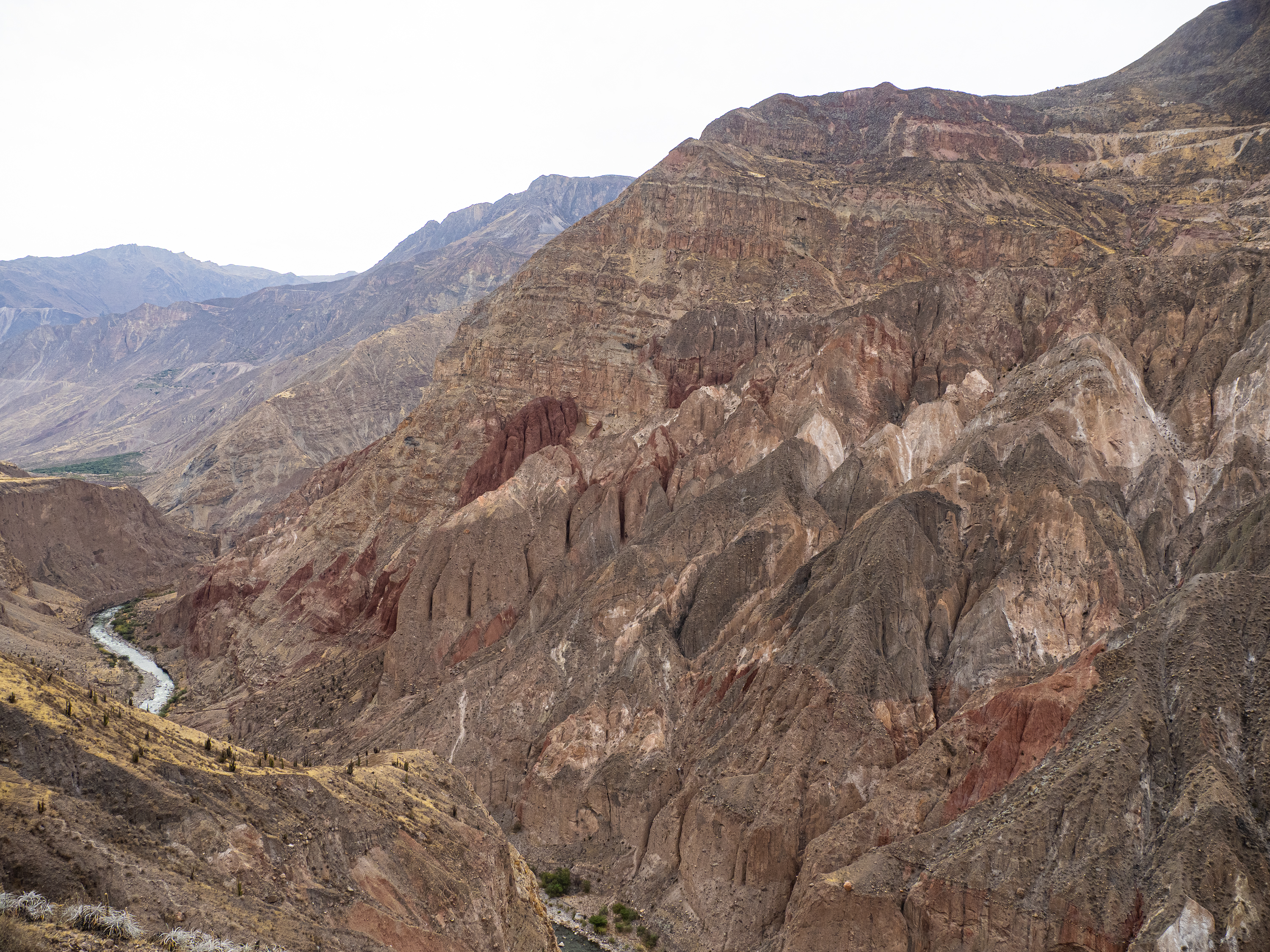
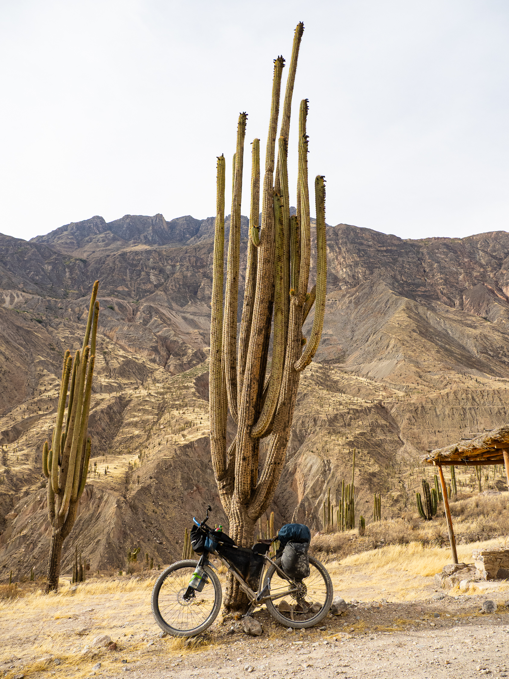
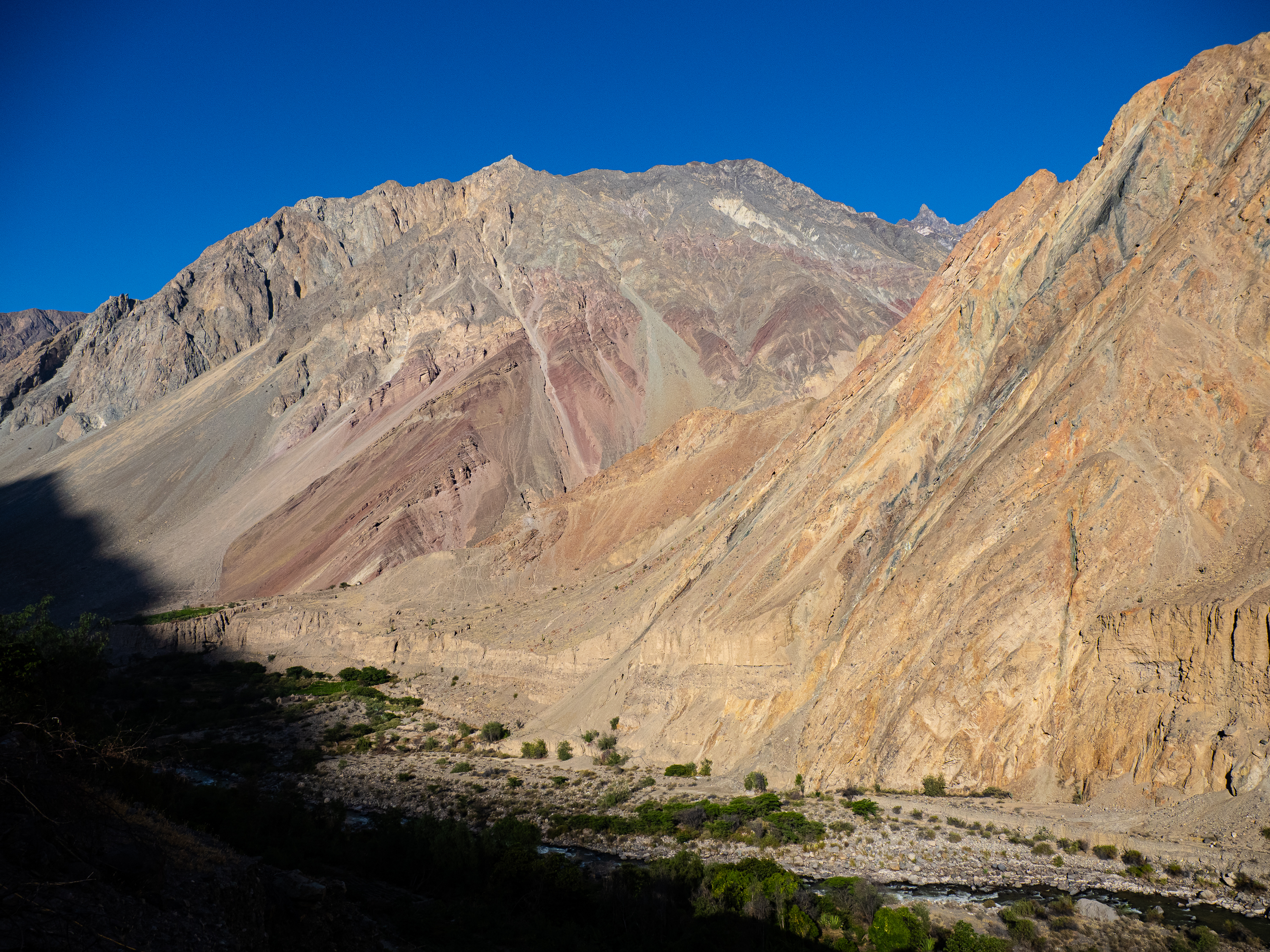
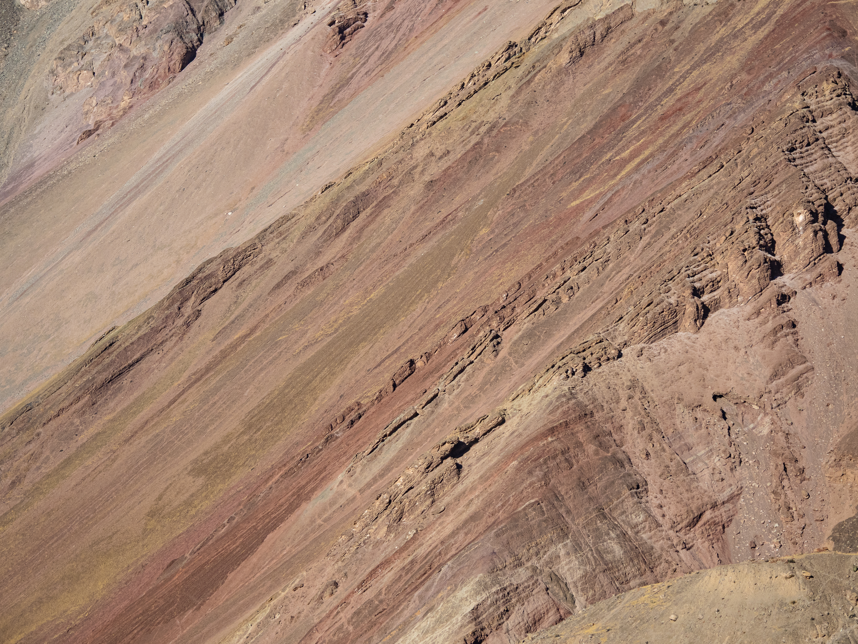
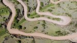
Leaving Cotahuasi, the landscape changes. The fertile valley becomes more arid and more barren. Cacti line the road, except in the occasional spot where the river or a creek provides life. At one such oasis I passed by lush fruit trees and remarkable greenery in an otherwise lifeless location. The road itself was a marvel, etched into the side of cliff and worthy of any “World’s Most Dangerous Roads” list. The precarious curves and gusting afternoon winds meant I had to take it slow, lest I drop off the side.
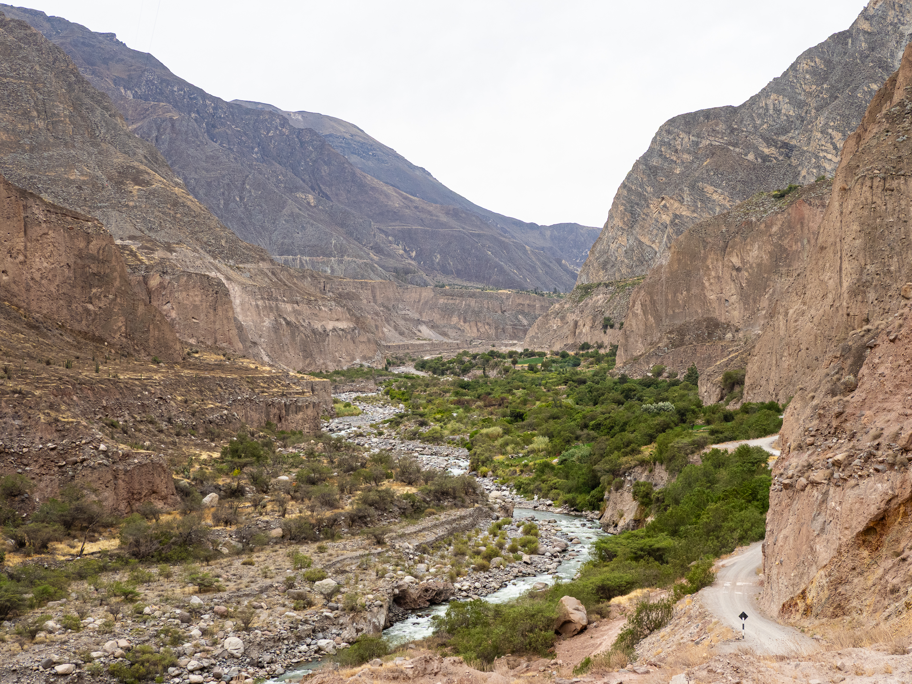
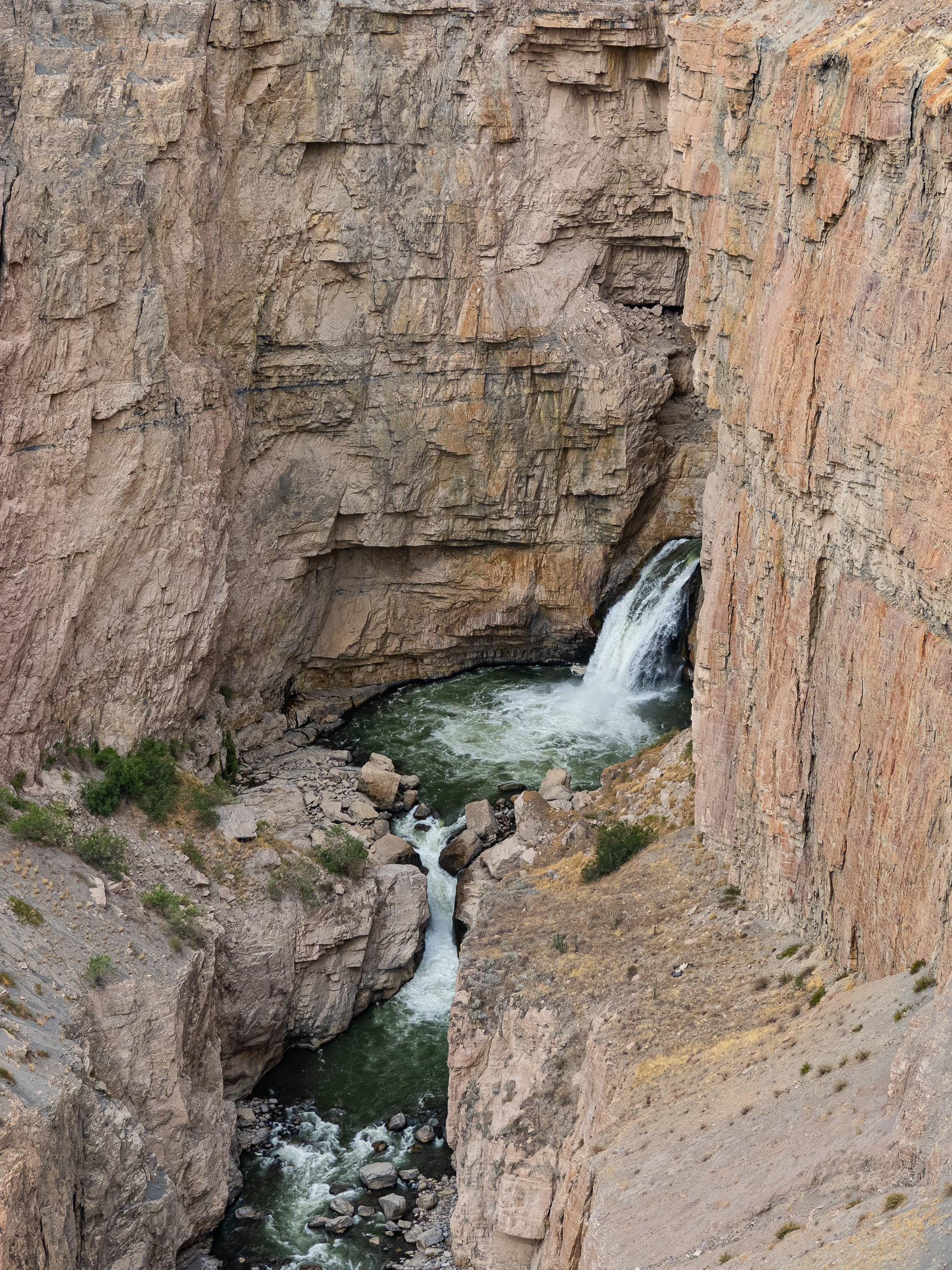
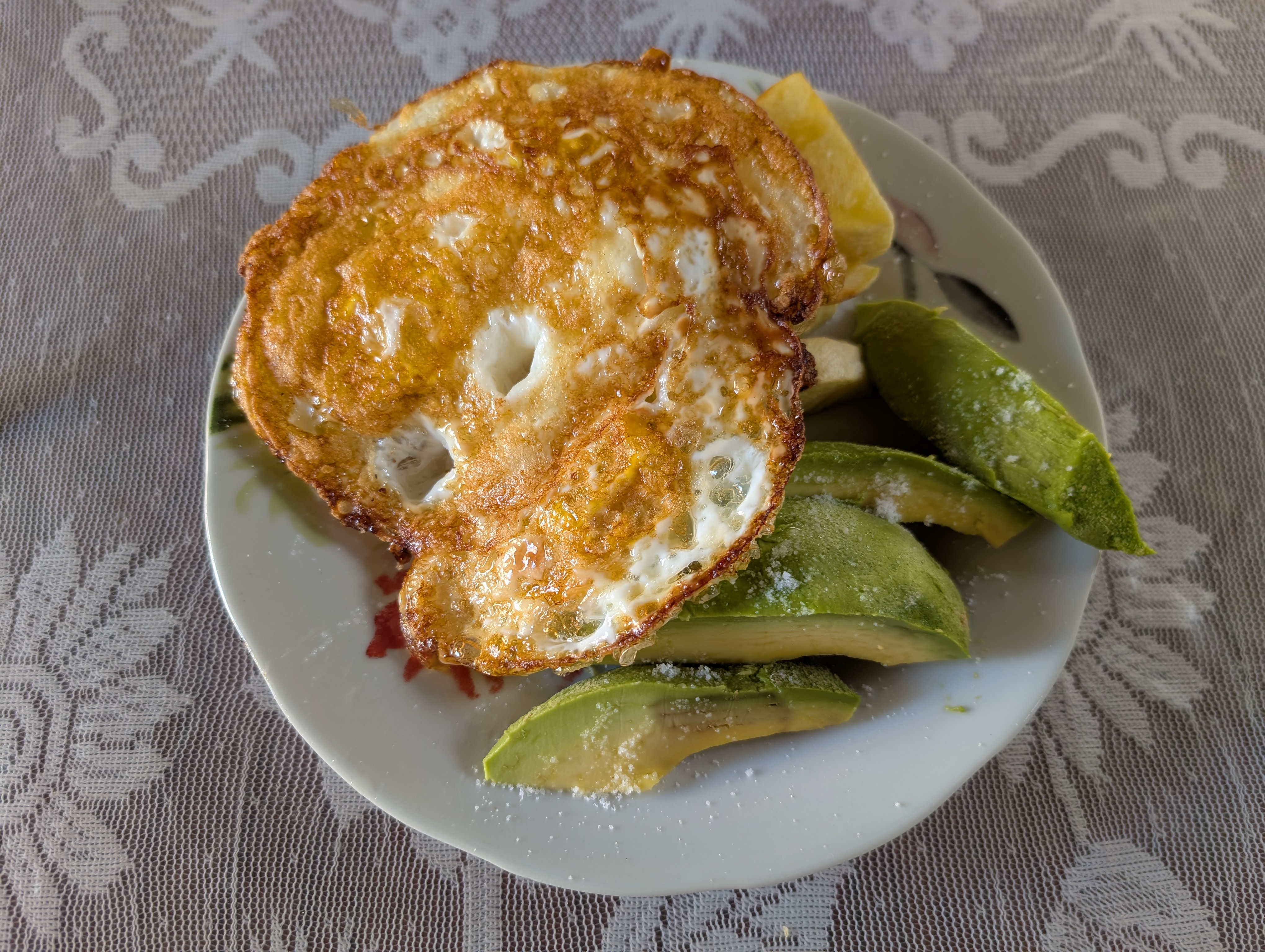
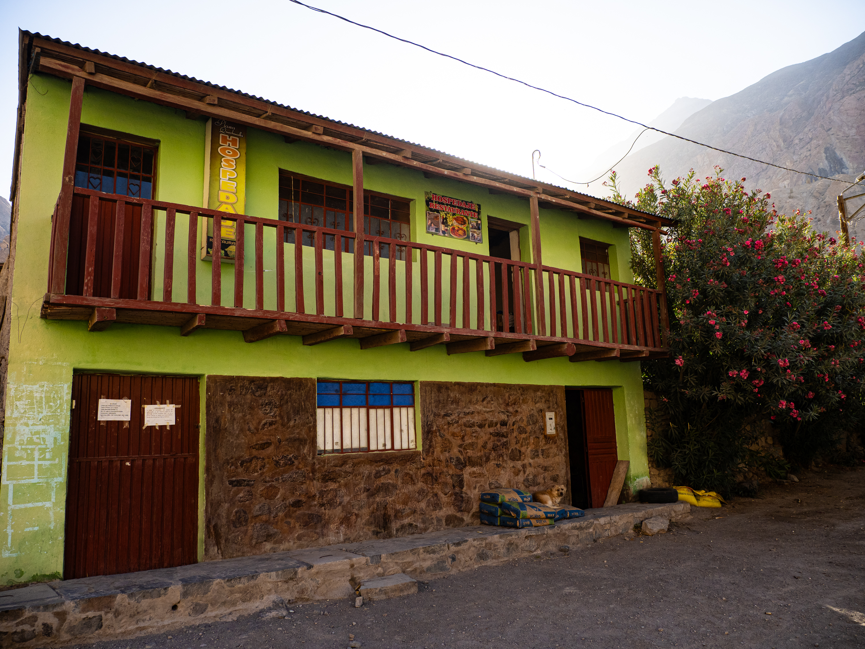
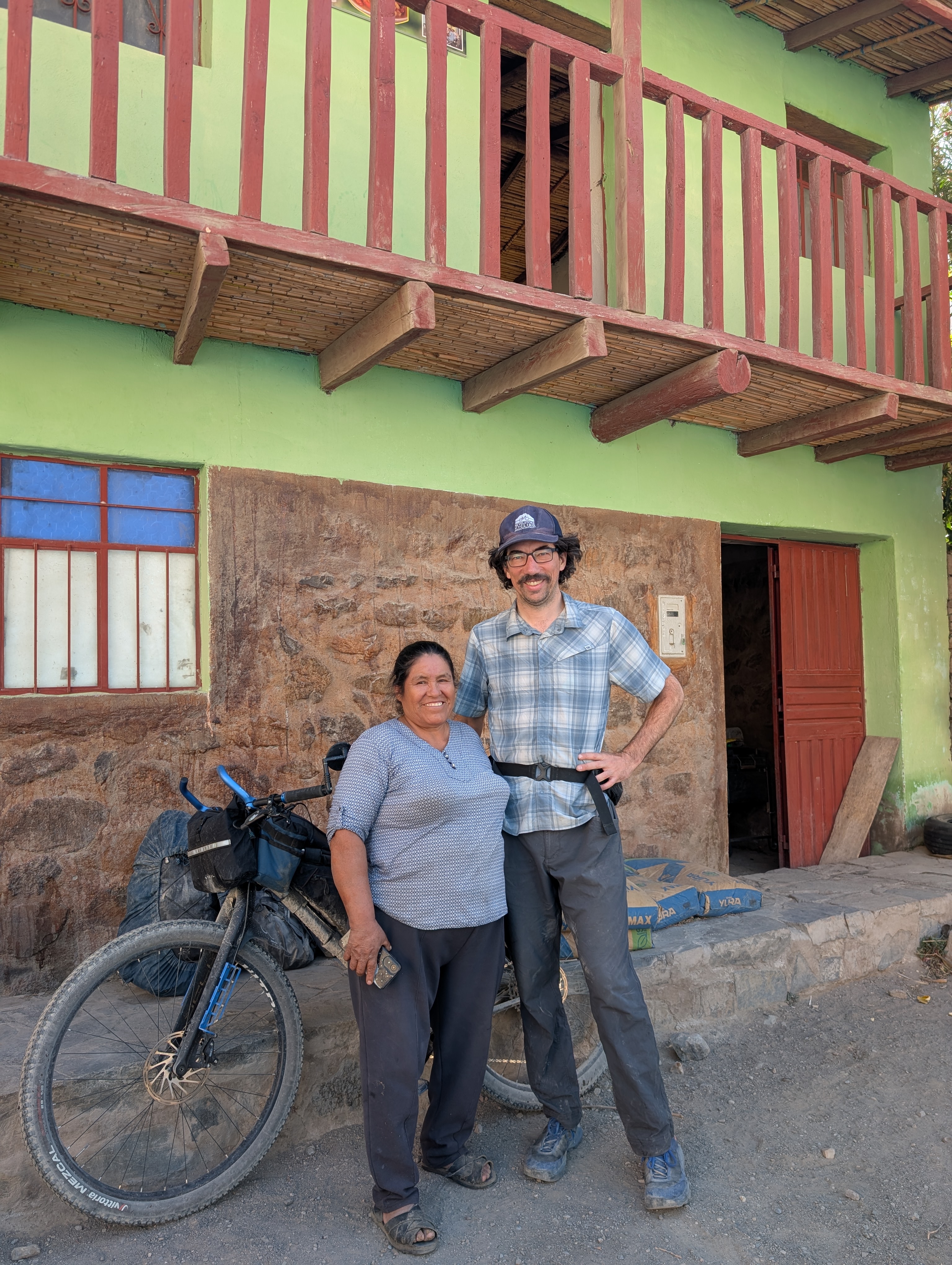
Eventually, the road descended to river level and I enjoyed a gradual downhill cruise down to Quechualla. There, I found a friendly welcome at a simple hospedaje run by a jovial woman named Yanette. Down at 1,600m, it was nice to not have to bundle up at night. I enjoyed a nice hot shower and a delicious lomo saltado for dinner.
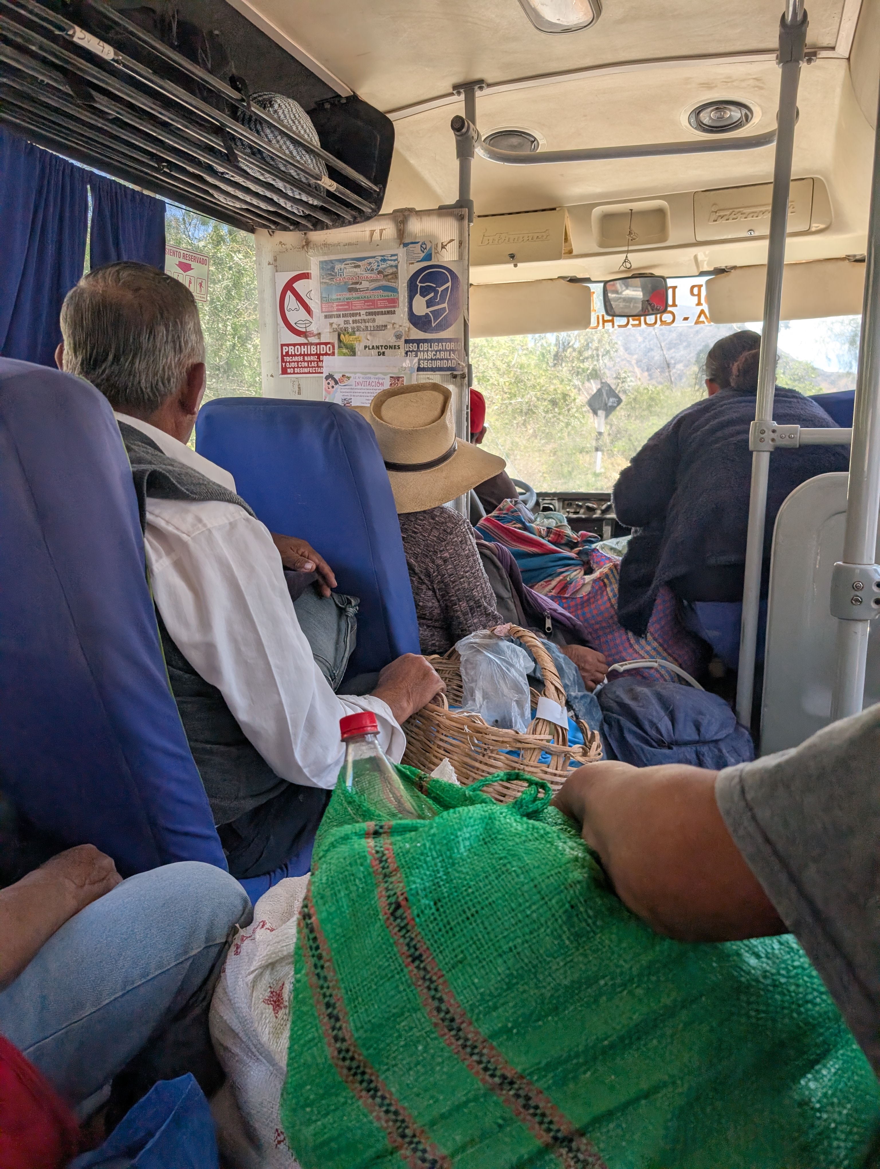
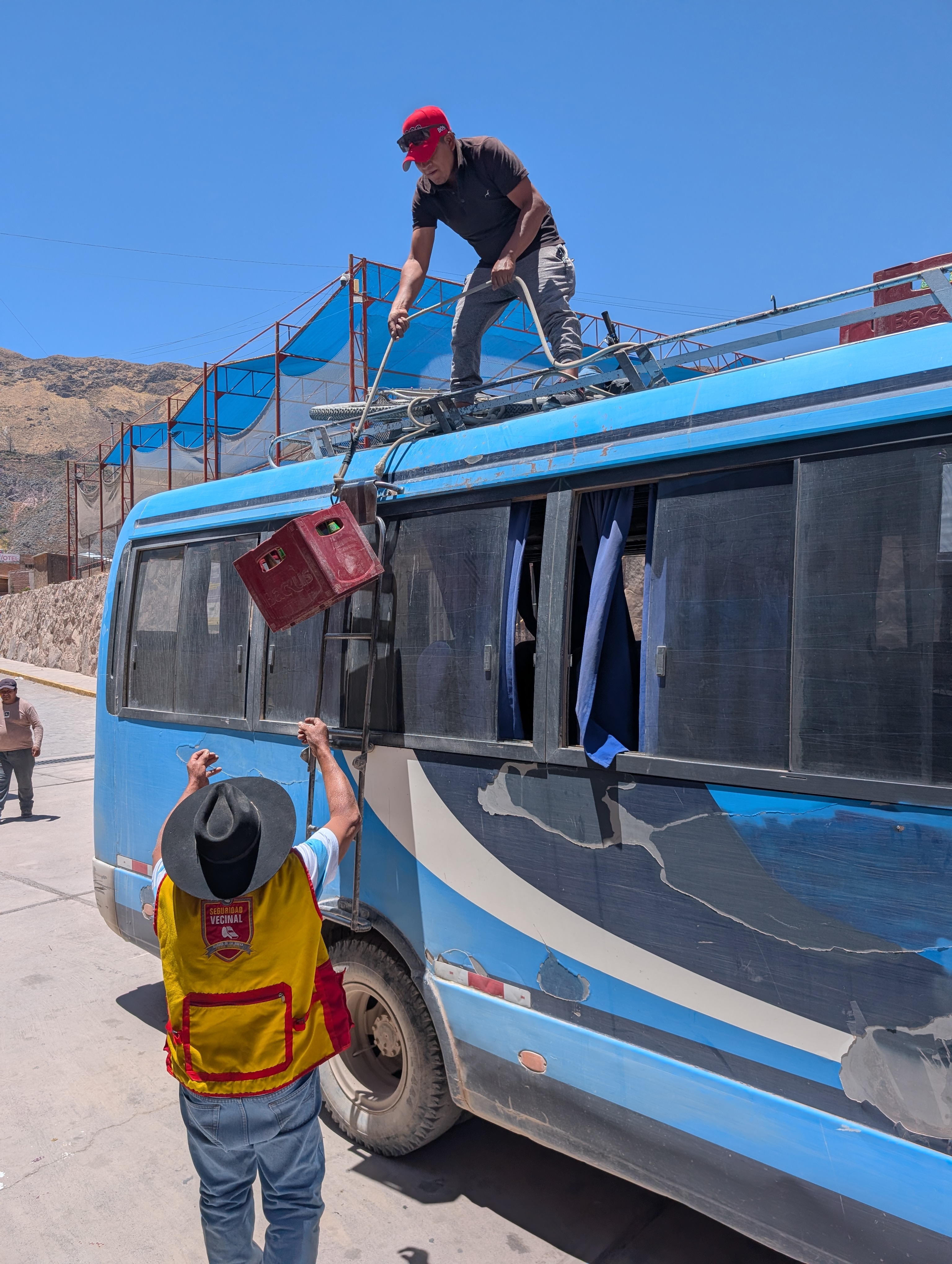
Come morning, I had a great breakfast before hopping the bus back to Cotahuasi town with my bike strapped to the roof. It was scarier to drive that road than to ride it, but we made it safely to town after picking up many locals along the way.
After five pretty challenging days on the bike, it was time for a couple days off before embarking on the final third of my journey.


Leave a comment