Returning to Peru was a dream of mine ever since my last trip in 2018 finished early amidst a mix of illness, bike problems, and general malaise brought on by the rainy season. The country’s vast and varied landscapes, and incredible culture called to me ever since and I knew I would return, it was just a matter of when.
I thought about going back in 2024, but instead went to Vietnam because I’d never really spent much time in Asia. Finally, last year I decided I had to go back to Peru. My work gives me flexibility for time off in November, which coincides with the worst time of year to be in Revelstoke. It’s a month of short days, cold weather, and lots of rain, before winter hits. The downside is that this is also the start of the rainy season in Peru.
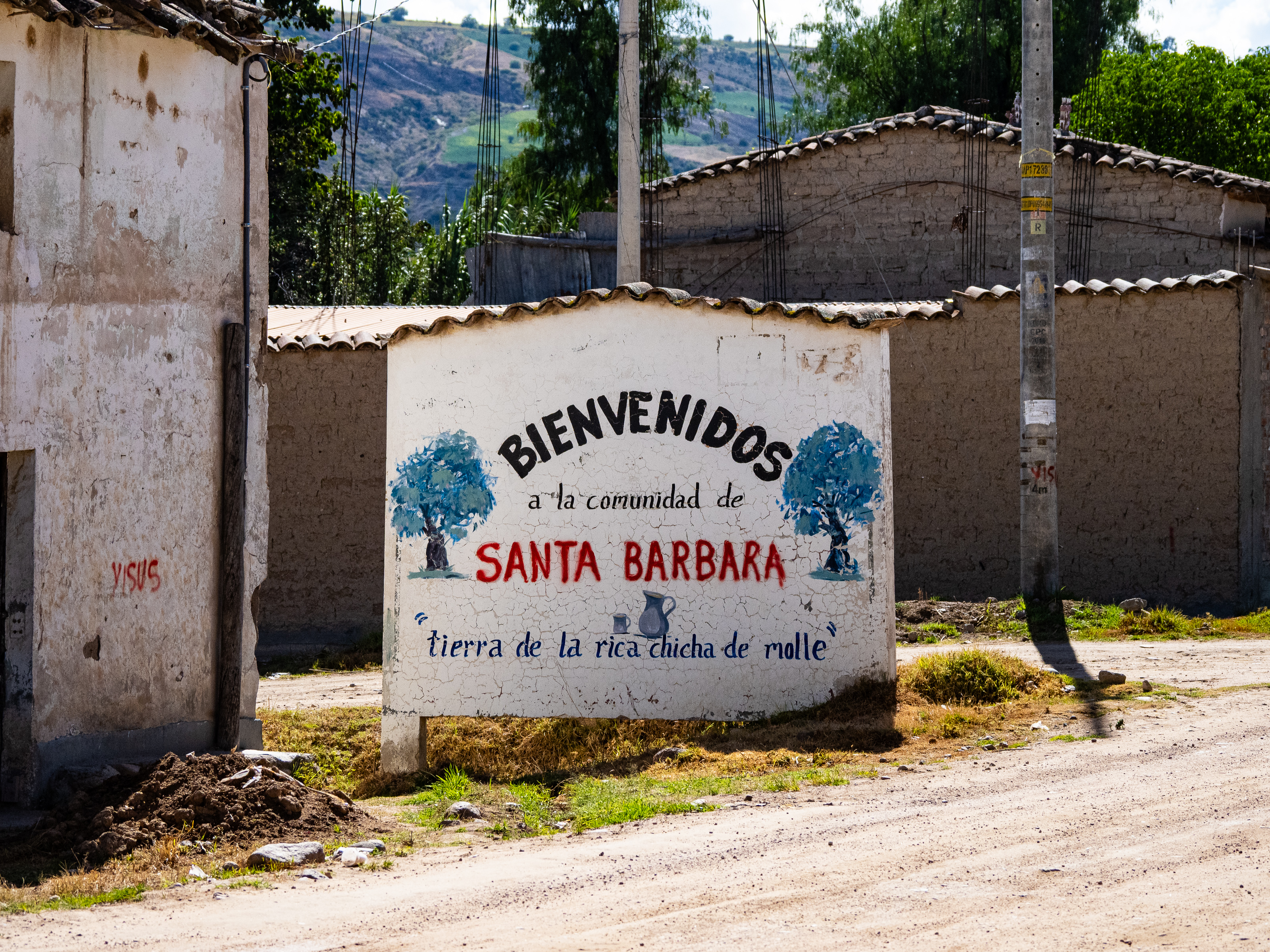
My 2018 trip was during the peak of the rainy season and it ultimately sapped my spirits and led me to come home a few weeks earlier than planned. I was worried about a repeat, so I decided that this time I would go to the southwest of the country. Arequipa is in the driest part of Peru and the rainy season doesn’t really kick off there until at least Christmas, so it was a great target for my ride. I considered a few starting points. Cusco was a logical option, since I didn’t make it there on my last trip and it is Peru’s cultural and tourist heart. But Cusco is also on the eastern side of the Andes and gets more rain.
Then I looked at Ayacucho. It’s a little more west than Cusco and almost directly inland from Paracas, where I finished my last trip. It has a small airport and has a reputation as an attractive colonial city with lots of culture and history. I love Spanish colonial cities, especially ones with strong indigenous culture. I decided I would start there.
Next, came the route planning. The easy way would have been to join the Peru Great Divide and follow it to its southern terminus, and then ride the Cones & Canyons route to Arequipa. But I like to plan my own routes and as I zoomed out on the satellite imagery of the region, the possibilities seemed endless. What I saw was a vast plateau broken up by a number of deep canyons, and there were roads criss-crossing through them.
I knew I wanted to bike through Cotahuasi and Colca Canyons, the two deepest in the Americas. That would be the second half of my trip. For the first half, I watched Peruvian YouTubers for inspiration and learned of little known local tourist spots in Ayaucho district. I looked at different roads on RideWithGPS and connected the dots between them. Peru is a country where you can go down pretty much any road and have a great time, so the biggest challenge was creating a route that was feasible for the month I had for the ride. There was so much I wanted to see, but I also didn’t want to make the ride too exhausting. I marked a few destinations I really wanted to see and went from there: Vilcashuaman, Aguas Turquesas Millpu, Pachapupum, the Sondondo Valley, and Nevado Ccarhuarazo. Then, I just needed to decide how to get to Cotahuasi Canyon.
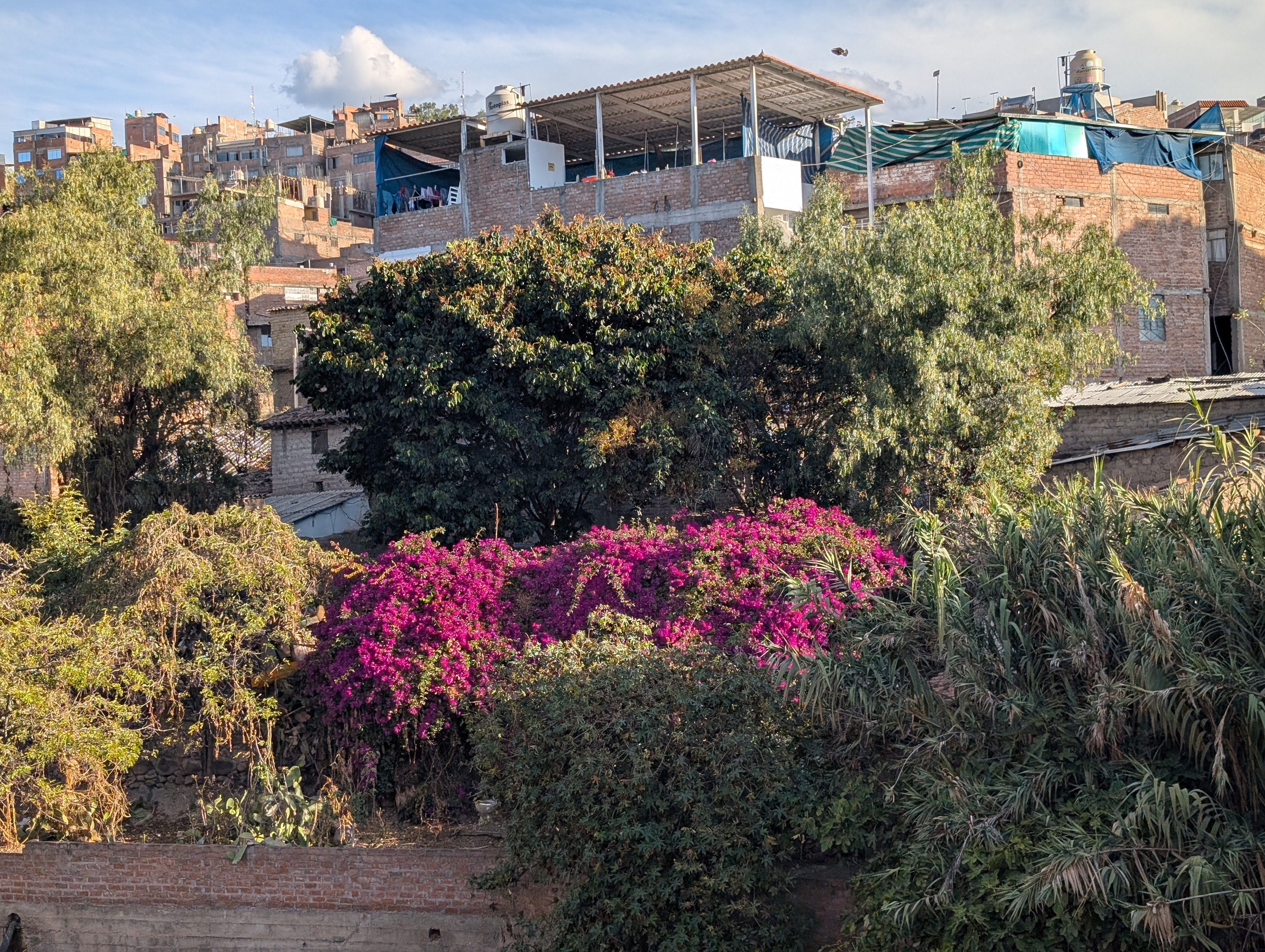
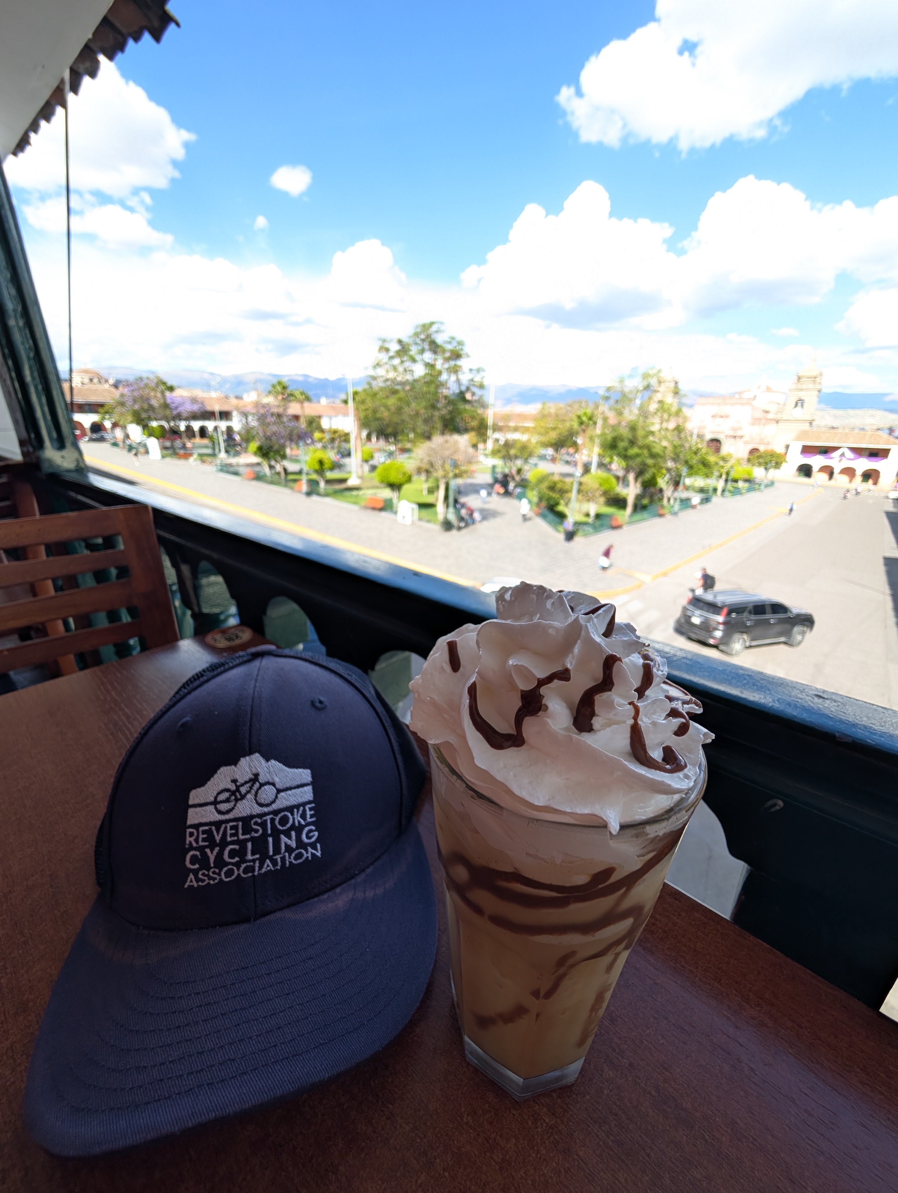
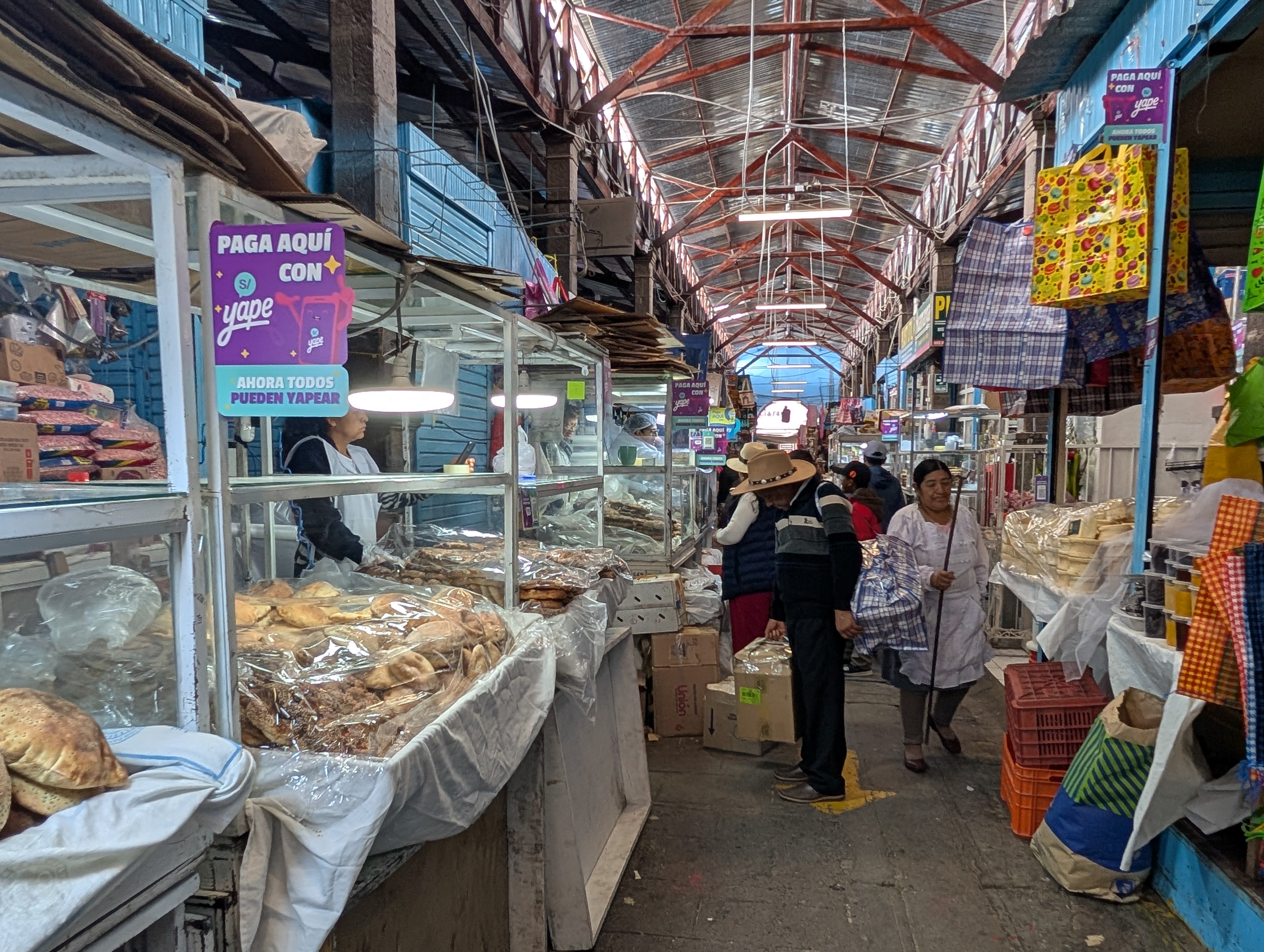
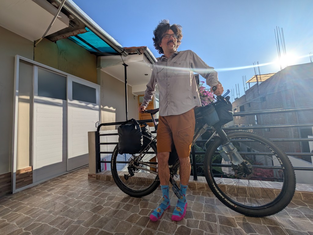
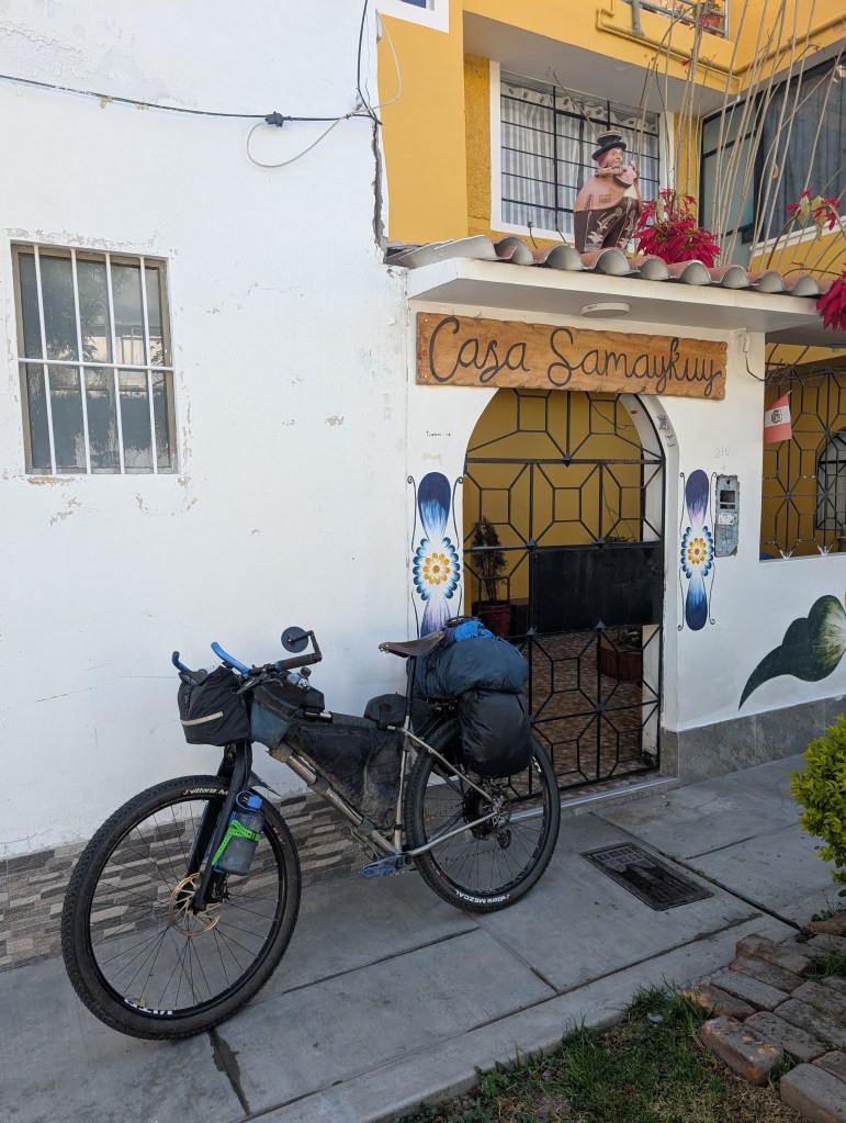
I began the long trip to Ayacucho on Saturday, Oct. 18, leaving a day early so I could beat a storm over Rogers Pass. My flight was Calgary-LA-Lima-Ayacucho and I arrived at my destination around noon on Monday, Oct. 20. Happily, my bike arrived with me. I settled in at Casa Samaykuy, a nice hotel outside the historic centre, which is also marked on Warmshowers. The owner, Pilar, is a cyclist and a few of the reviews mentioned friendliness to bike travellers. My room was spacious and had a small kitchen. It was the perfect place to spend a few days tying up loose ends at work, while also enjoying the sights of Ayacucho. While there, I met three other bikepackers, but they were all heading in different directions.
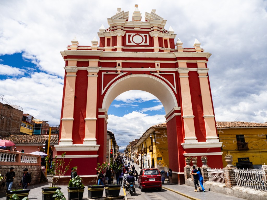
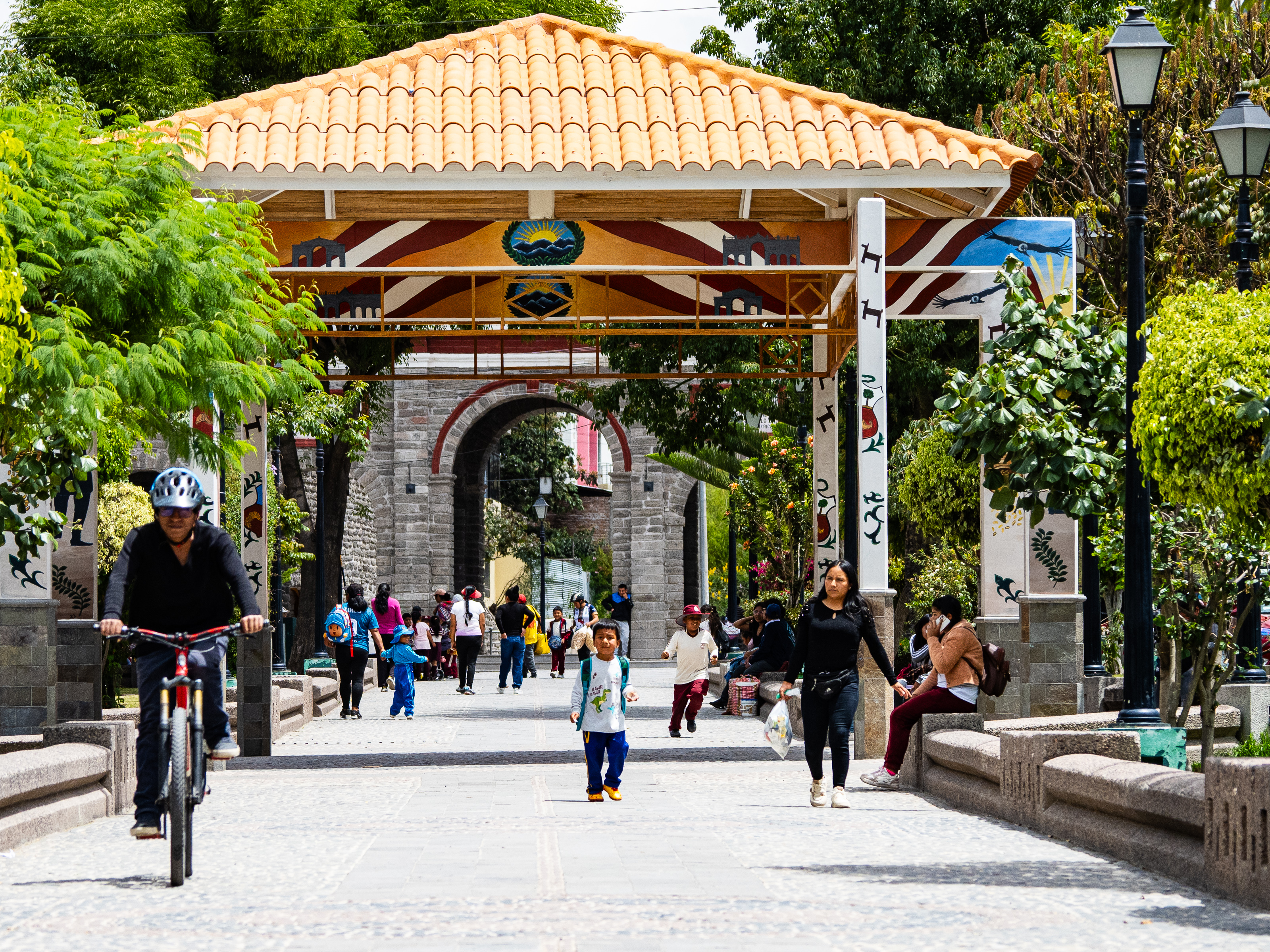
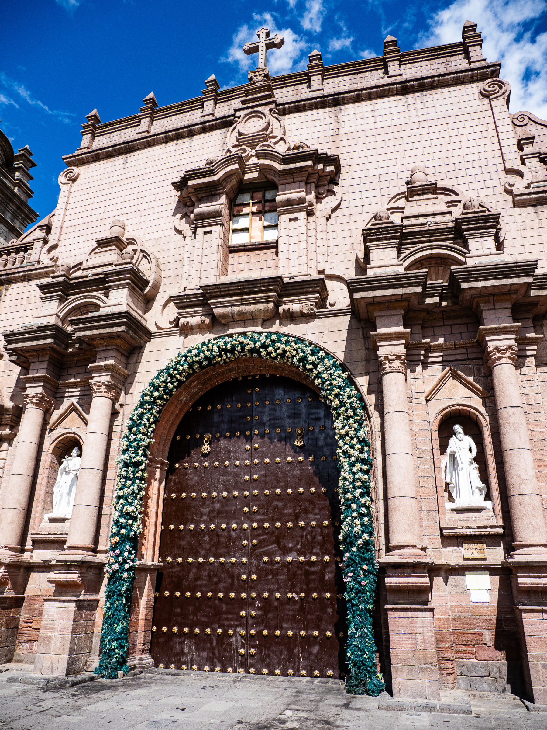
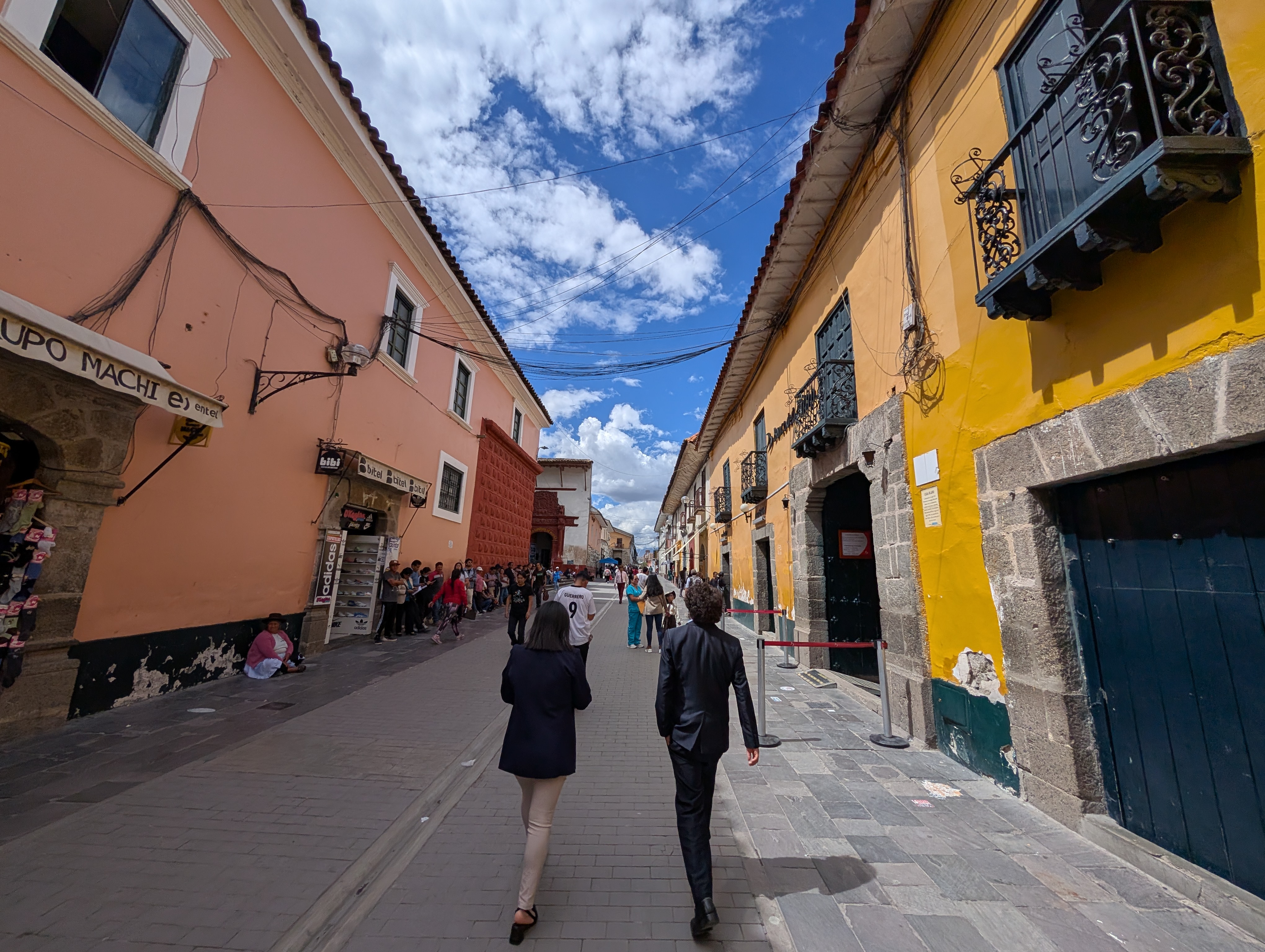
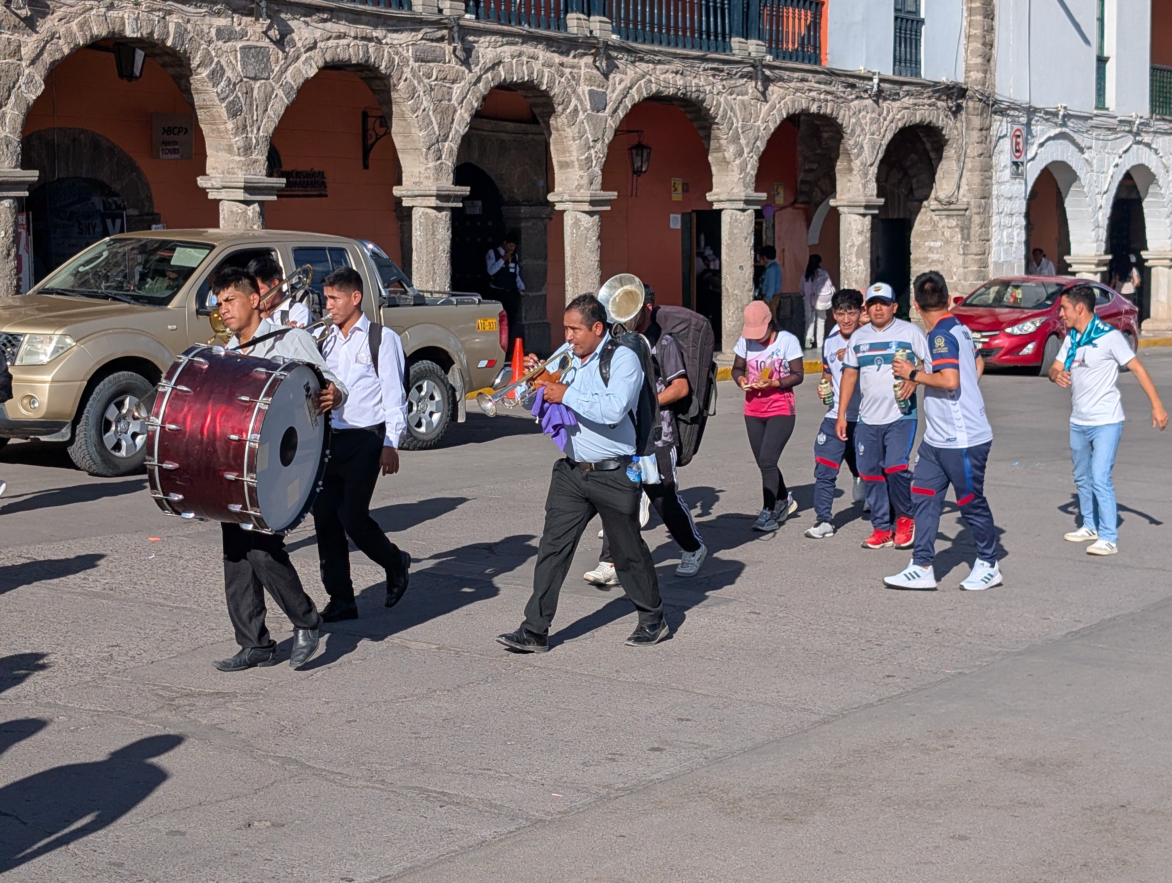
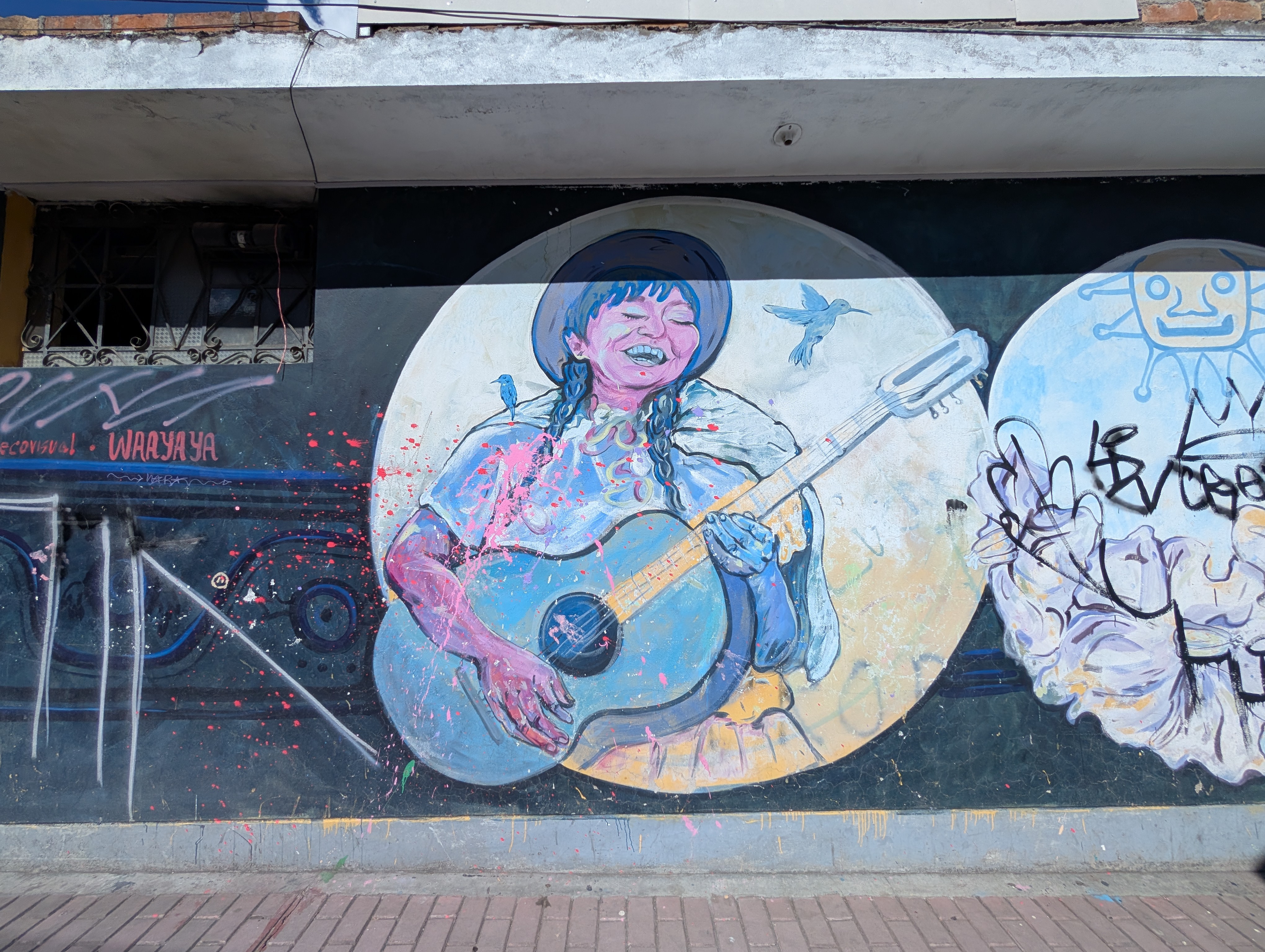
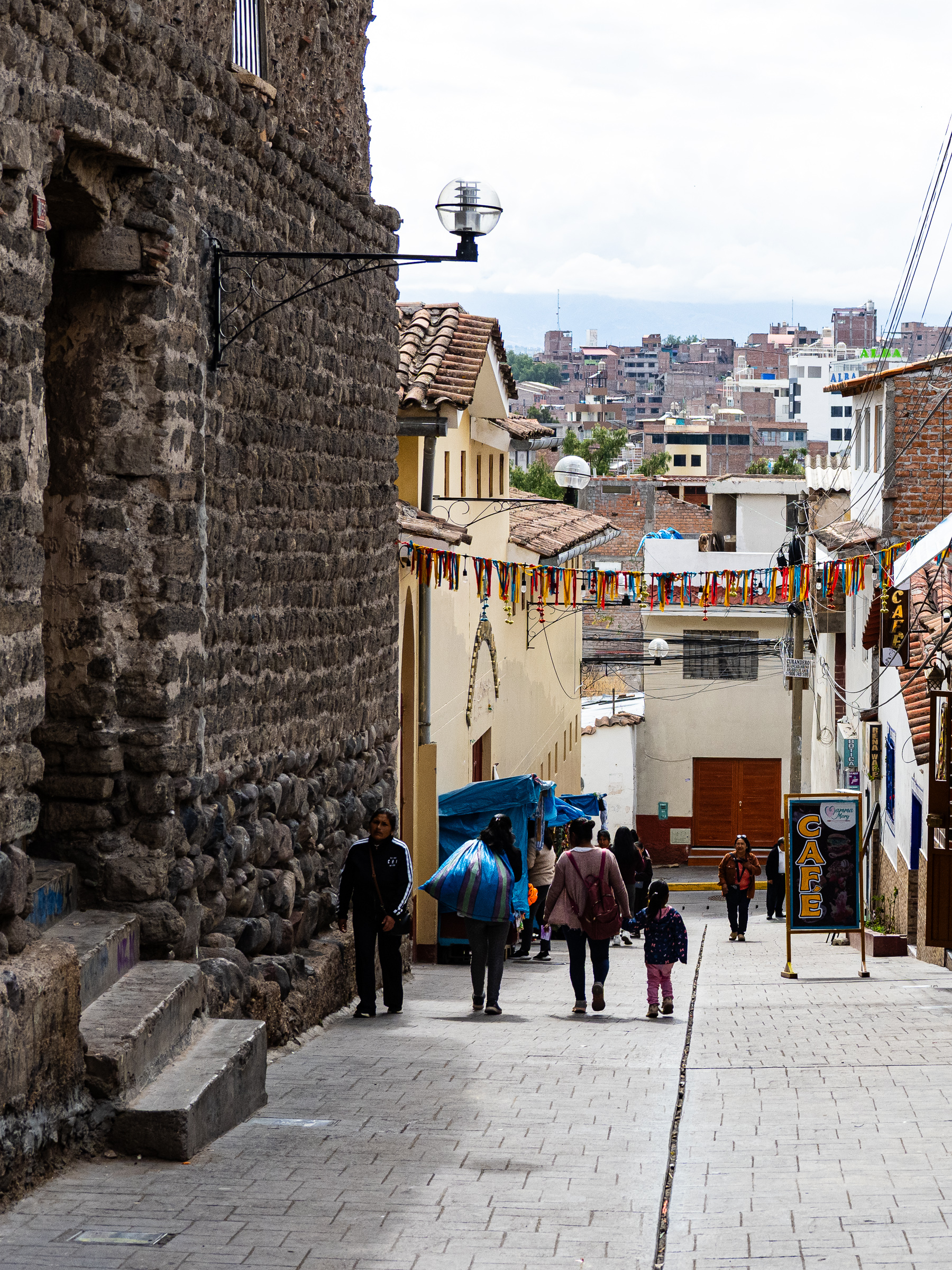
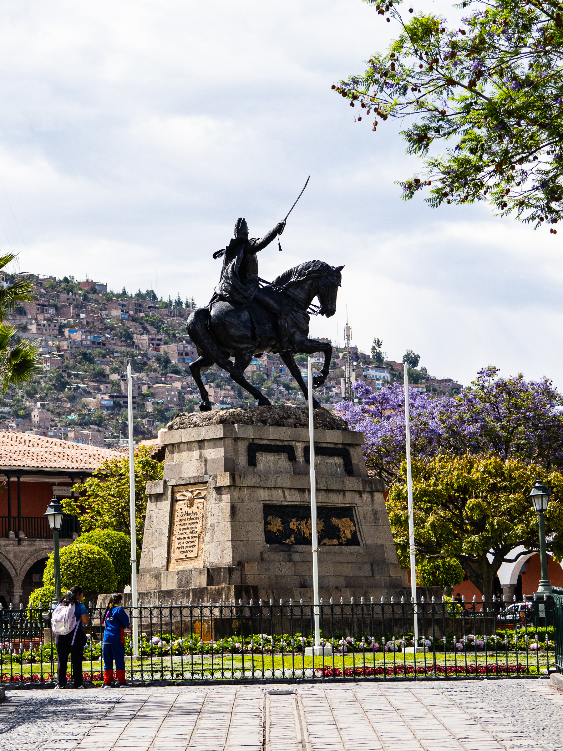
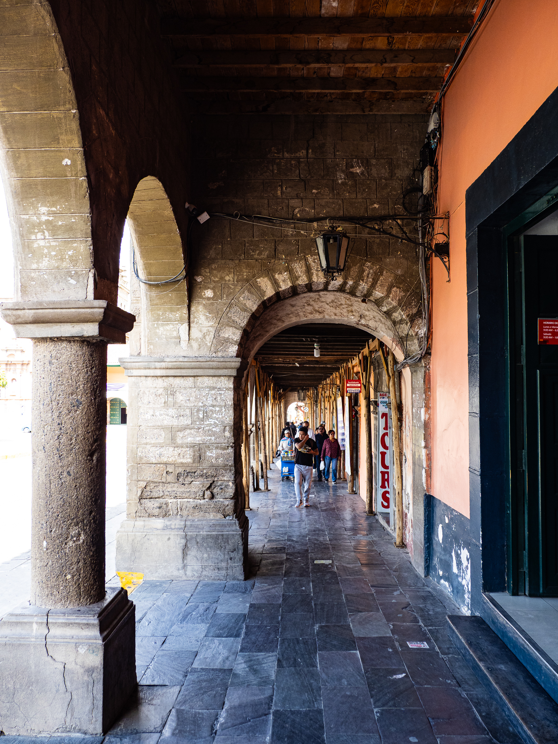
Ayacucho is a small city with a beautiful Spanish colonial centre. It feels local, while also having enough tourist infrastructure to make travel easy, as long as you speak some Spanish. It is famous for its 33 churches, one for each year of Jesus’ life. It is also not far from the ruins of the capital of the ancient Wari empire, which ruled much of Peru hundreds of years before the Inca. Also nearby is the Pampa de Quinua, where South American independence forces defeated the Spanish in 1824, giving Peru and all of South America its independence from Spain. I visited both sites on a day tour from Ayacucho.
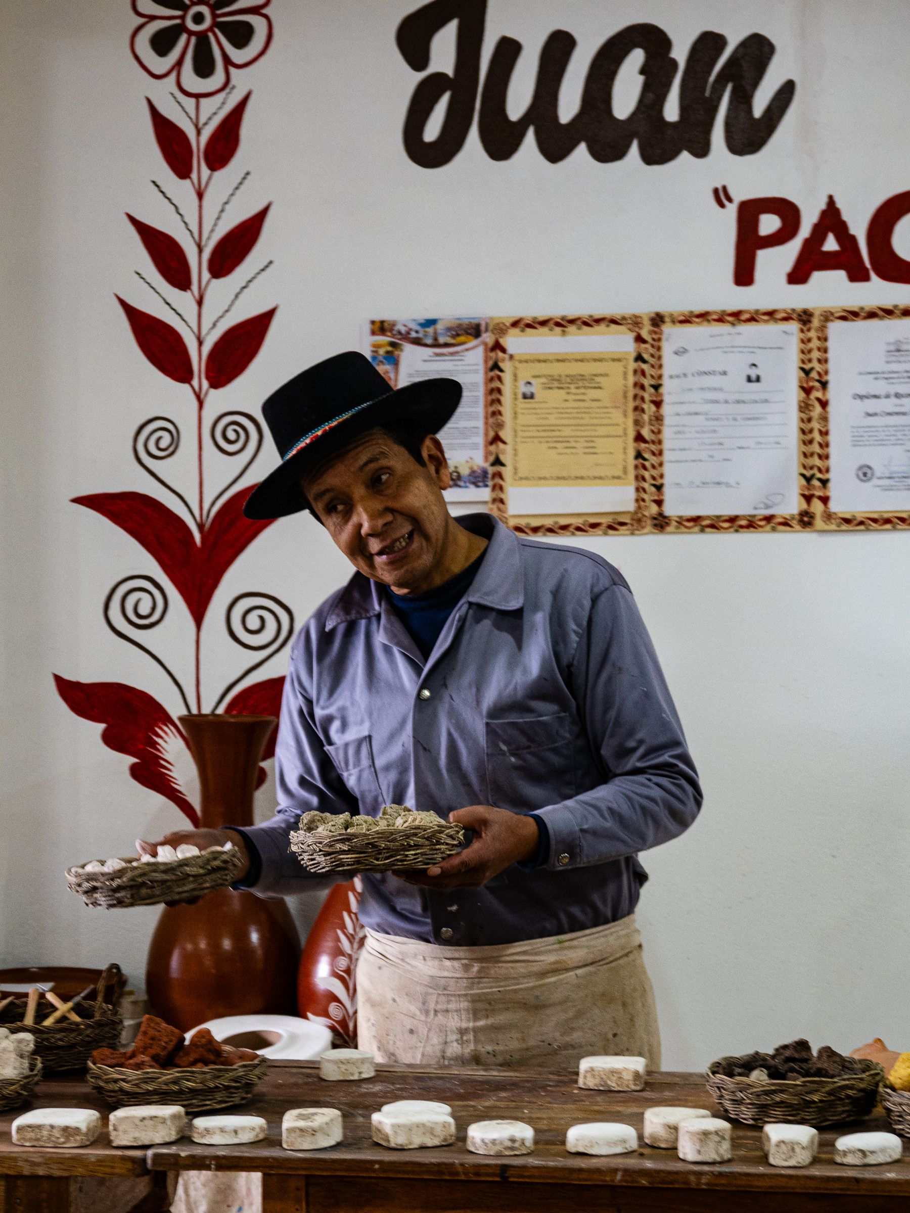


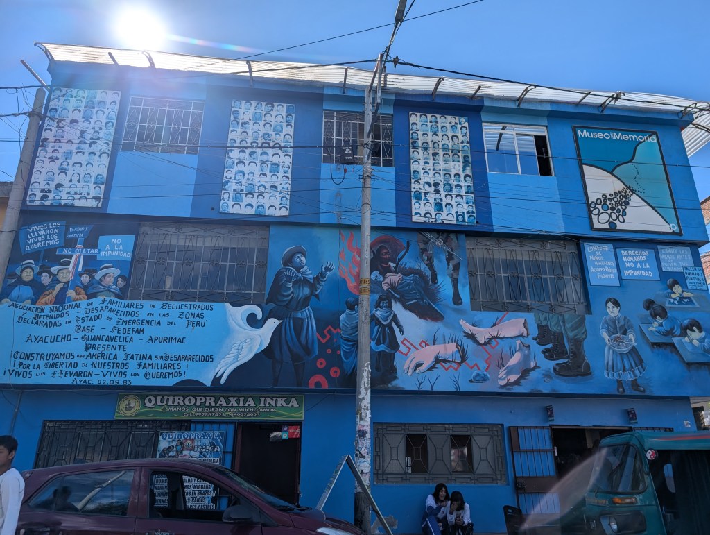
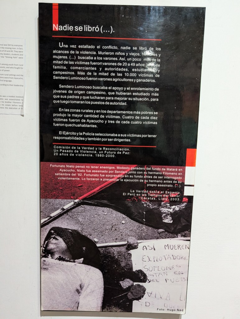
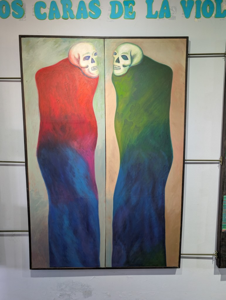
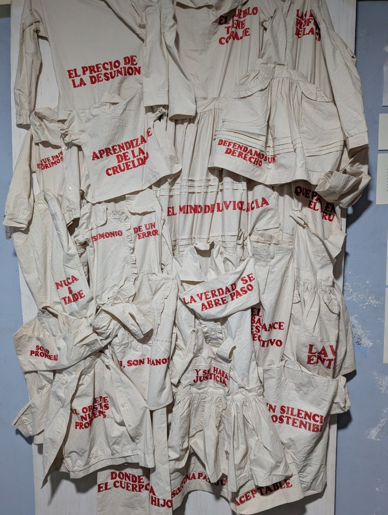
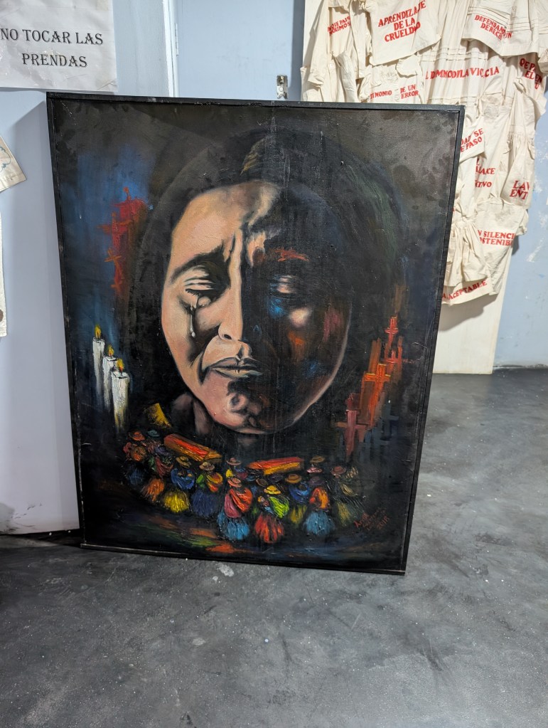
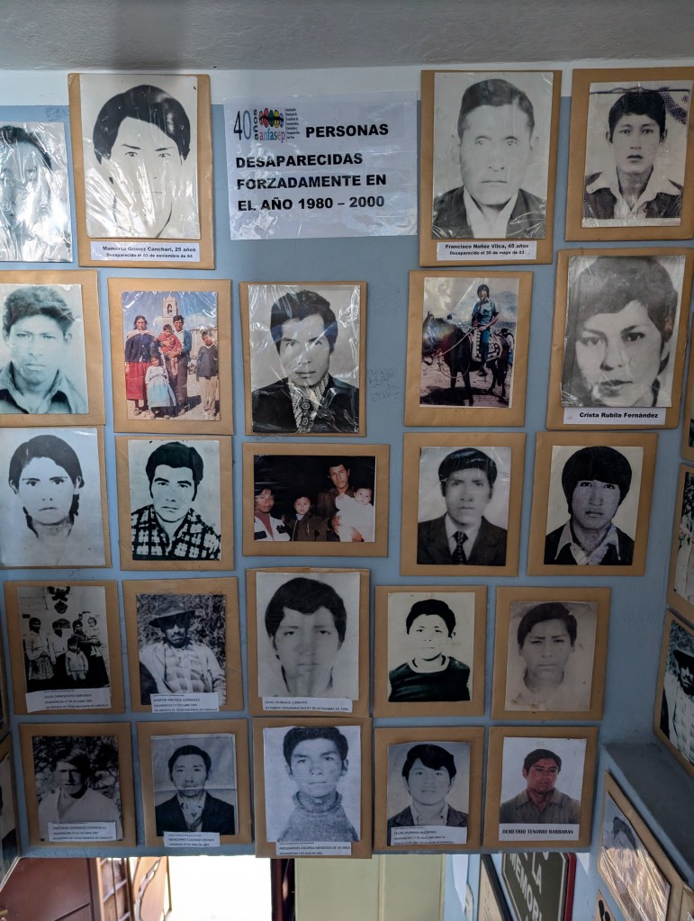
Ayacucho is also home to a number of small museums, which I spent an afternoon visiting. First was the Museo de la Memoria, which is a somber account of the terror inflicted by the Sendoro Luminoso and the government forces that fought them indiscriminately. The rural population was the victim of this civil war, with 24,000 people being killed – half at the hands of the Sendoro Luminoso and many more killed by the government.
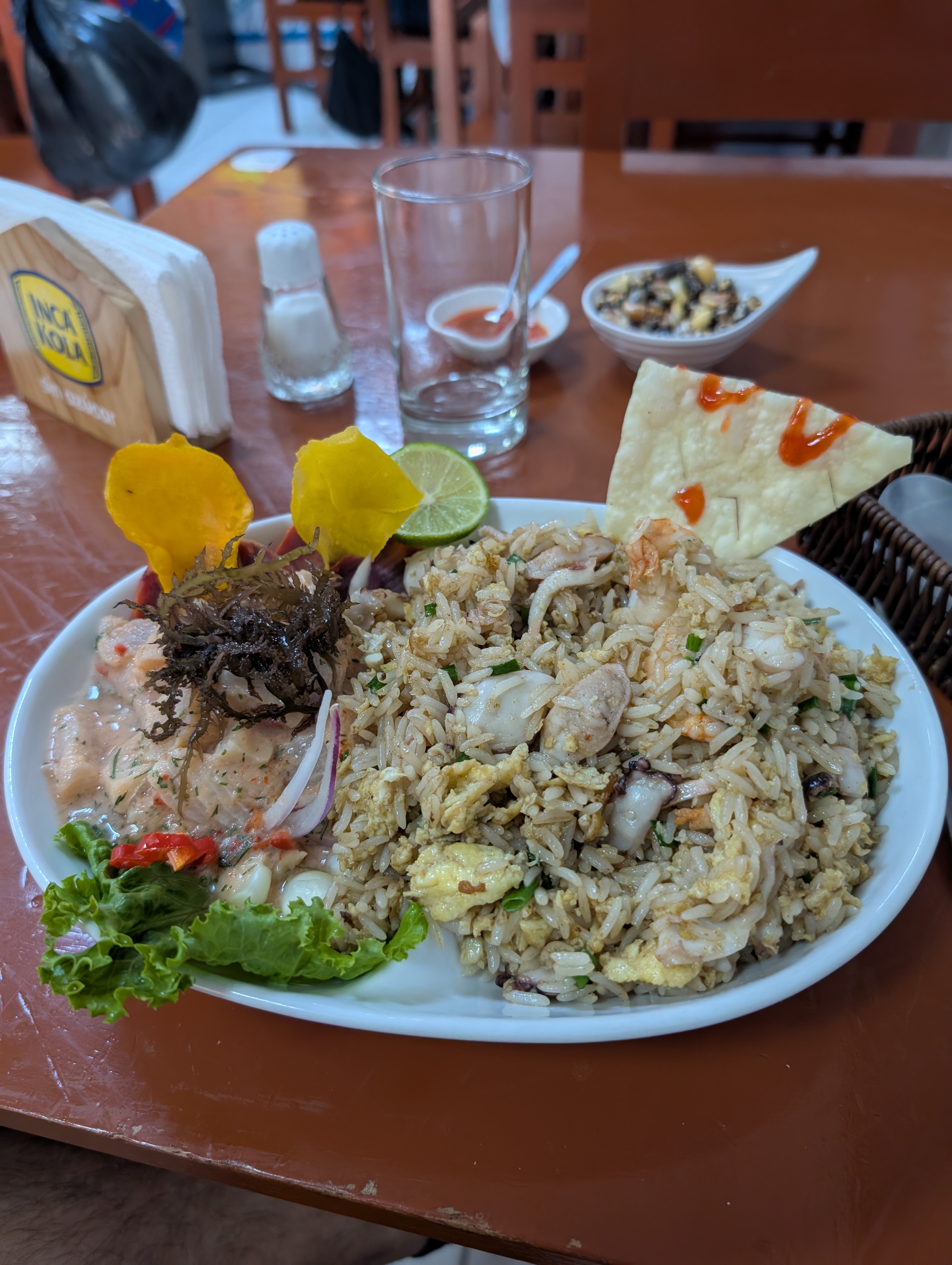
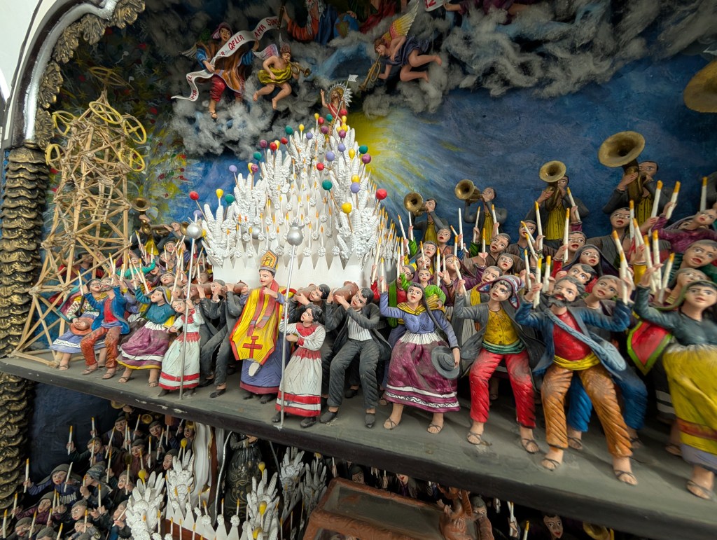
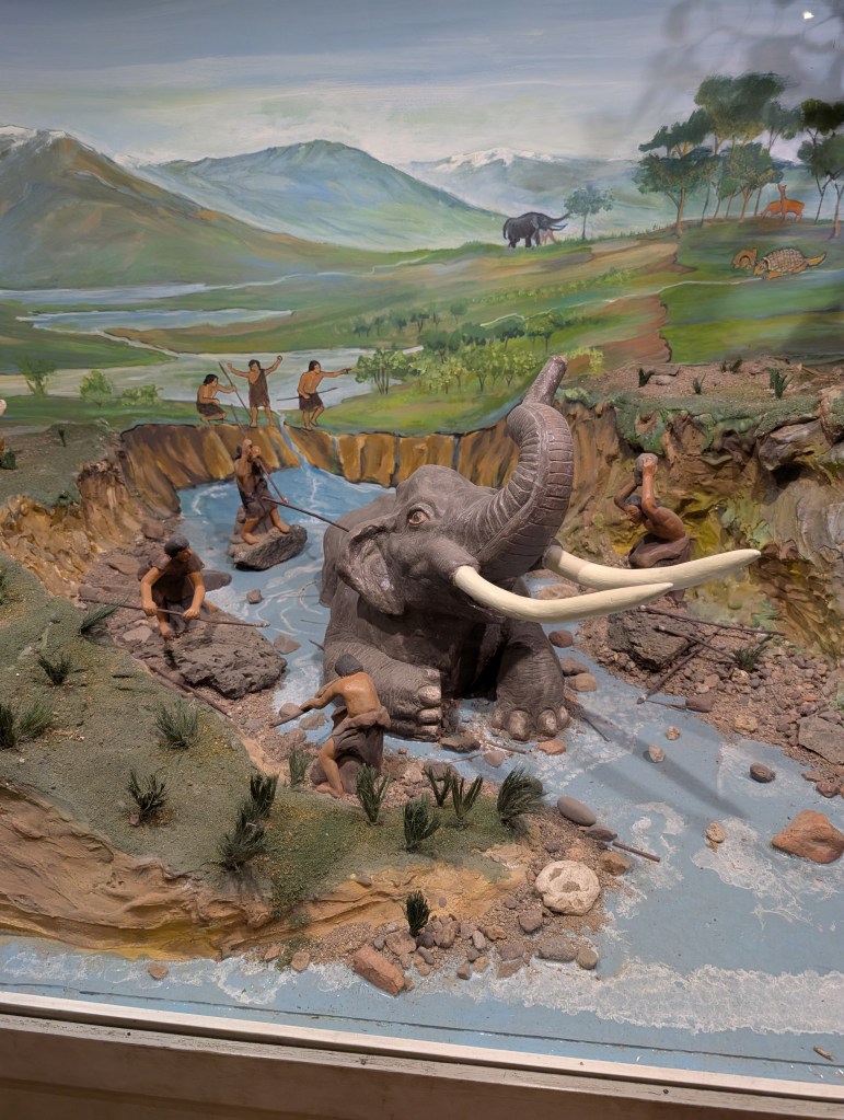
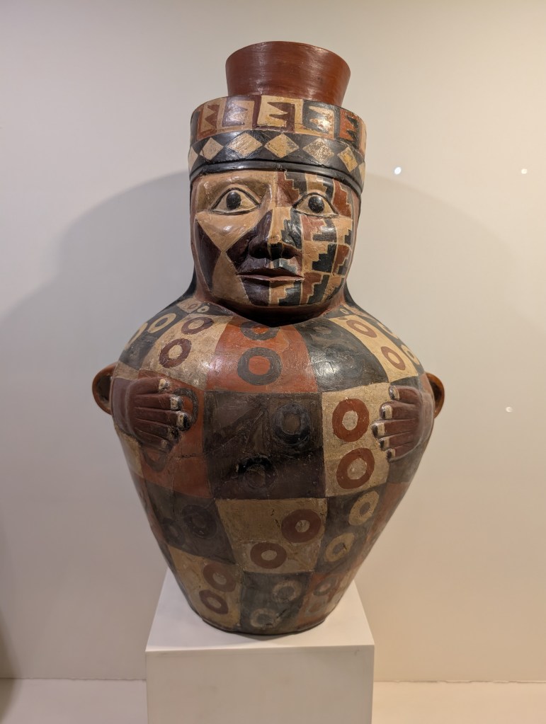
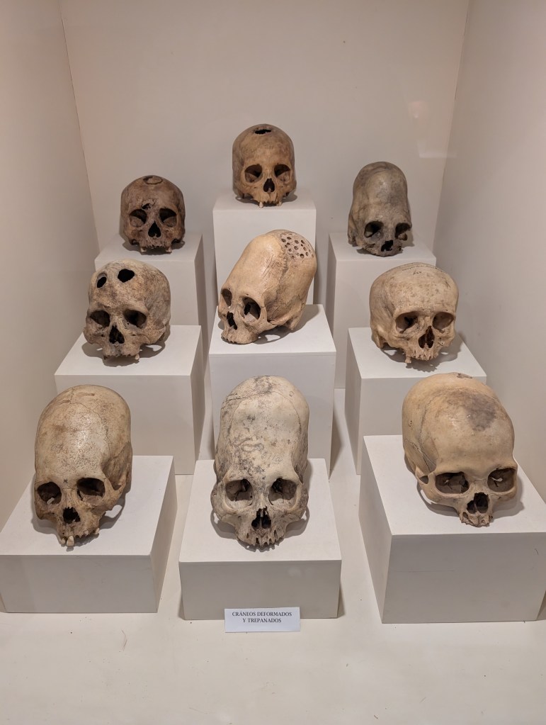
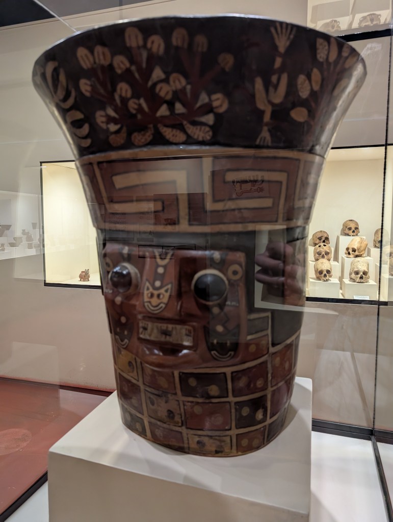
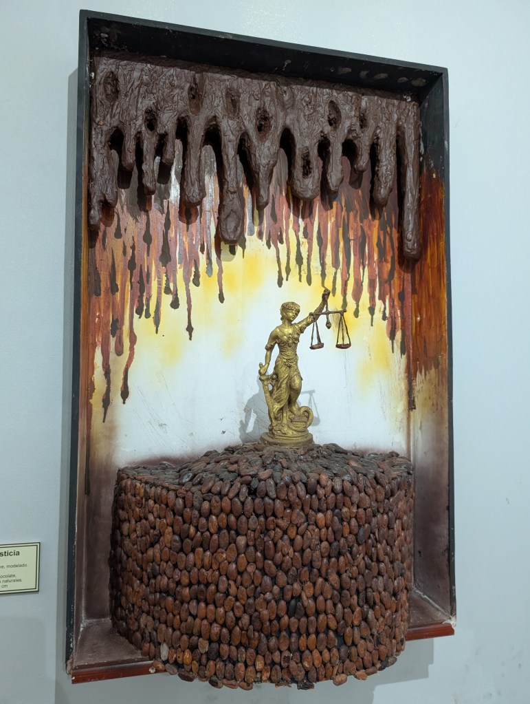
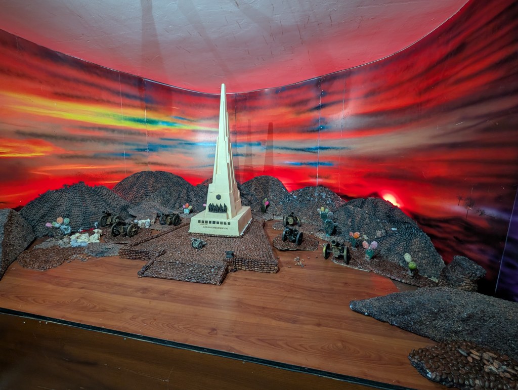
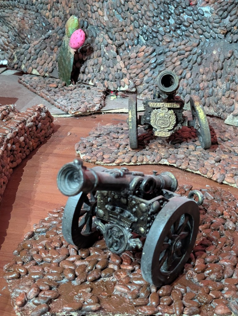
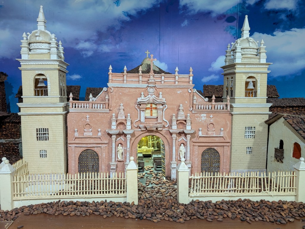
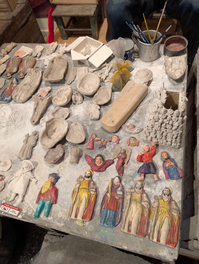
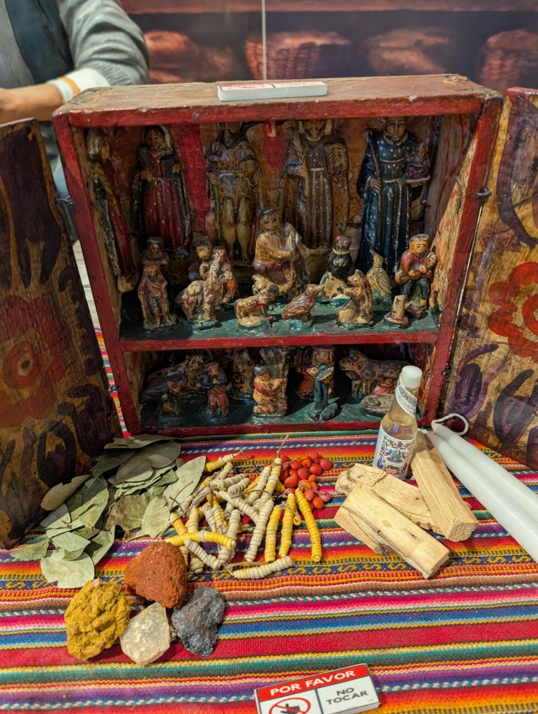
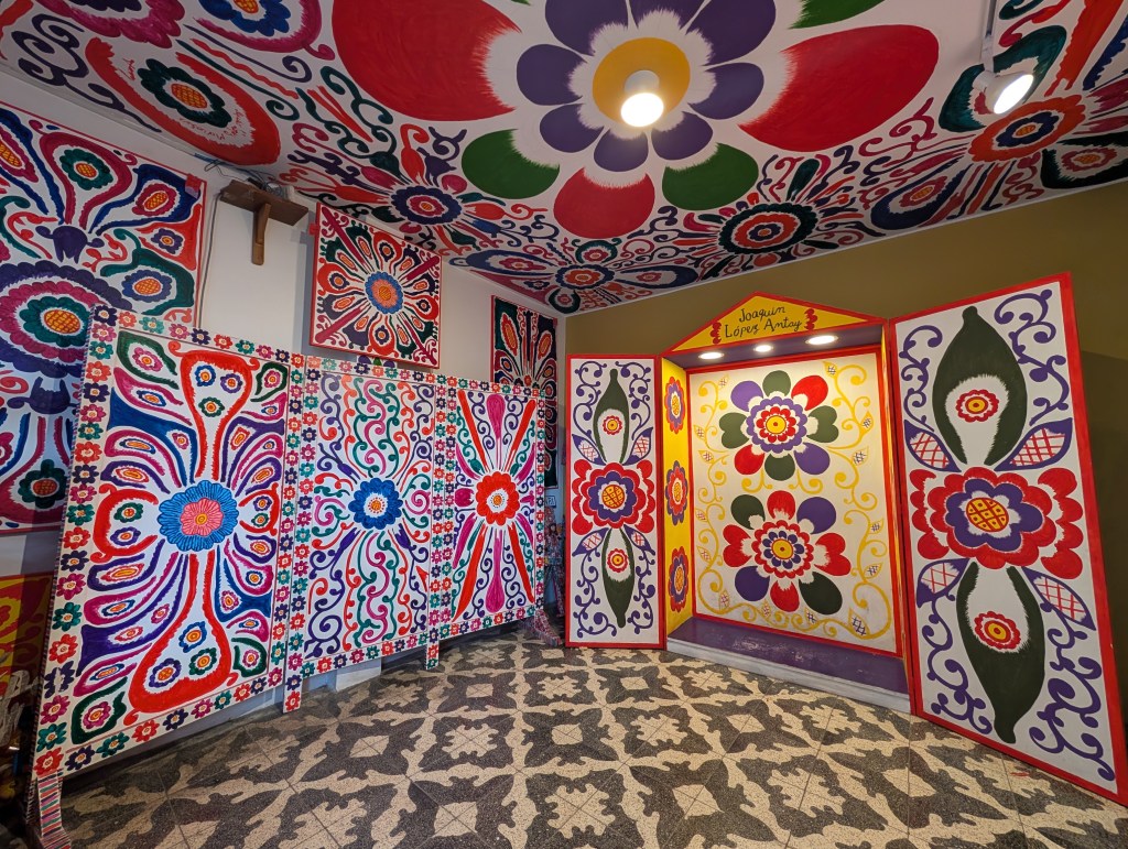
Next, I visited Museuo Hipolito Unanua, which showcases the pre-colonial history of the area, which dates back tens of thousands of years. I also checked out the impressive Museo de Chocolate, where an artisan has created impressive replicas of local buildings and historic sites entirely out of chocolate. Finally, I checked out Casa Museo Joaquin Lopez Antay, which showcases the work of one of Ayacucho’s most prominent artists. These tours were entirely in Spanish, and I was happy that I understood most of what was said.
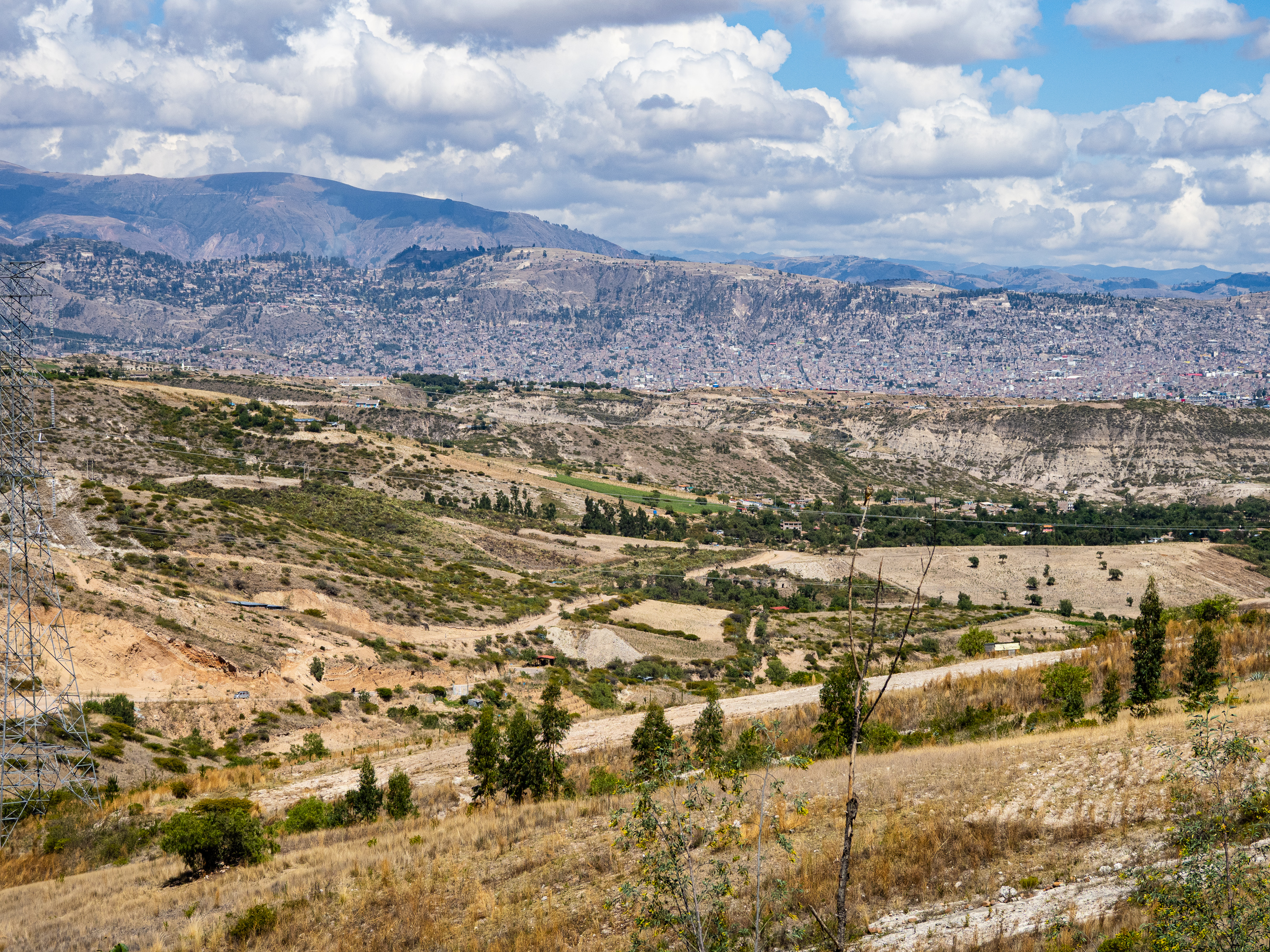
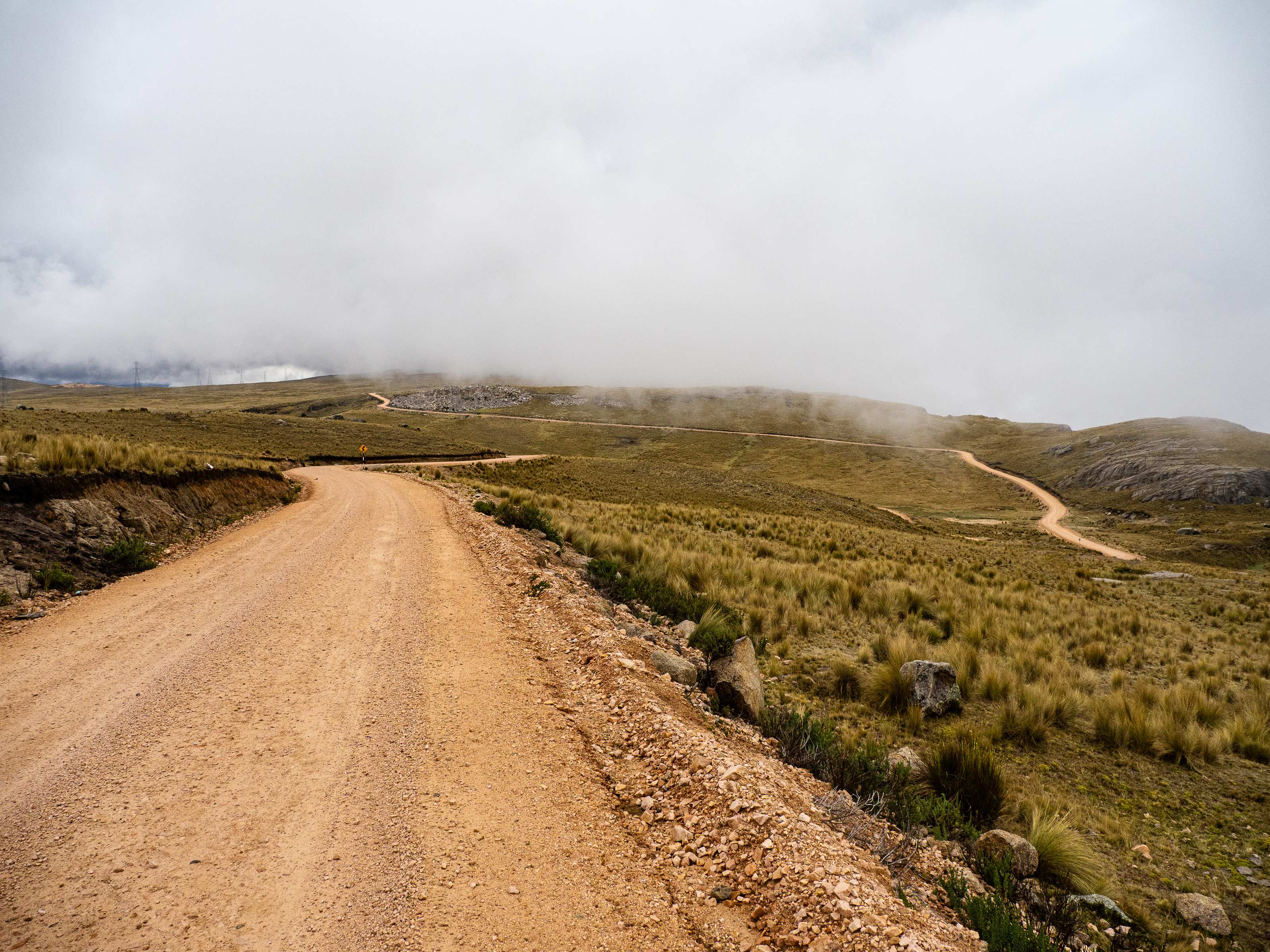
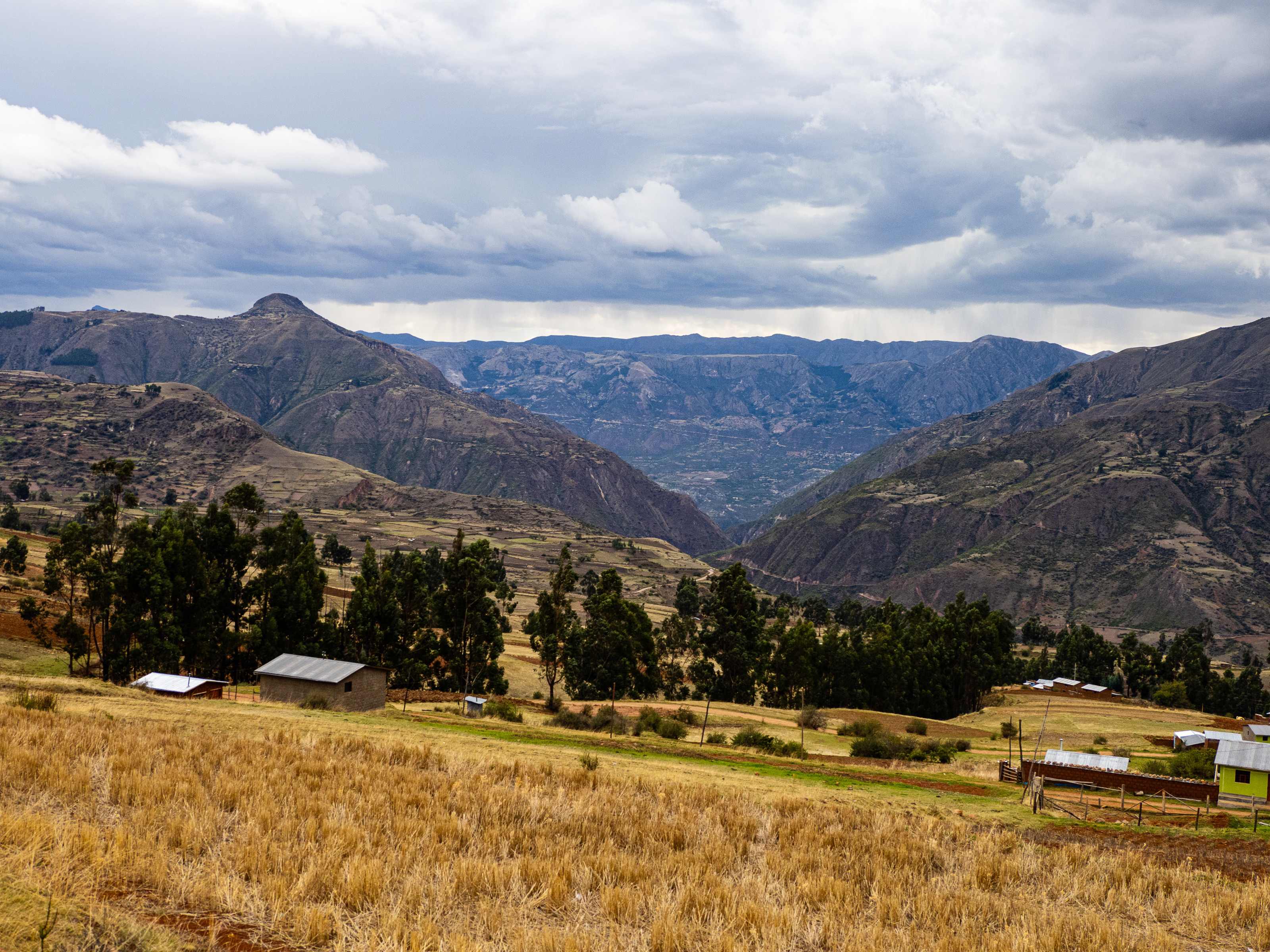
I left Ayacucho on Saturday, a little nervous about what was to come. Ayacucho sits in a bowl and all roads out lead upward. When I planned my route, I didn’t see any good options to camp below 4,000m. I knew it was a bad idea to camp so high up my first night, but I didn’t see any other options. I decide I’d have to chance it and hope for the best. I was also worried about the long climb ahead and the rain.
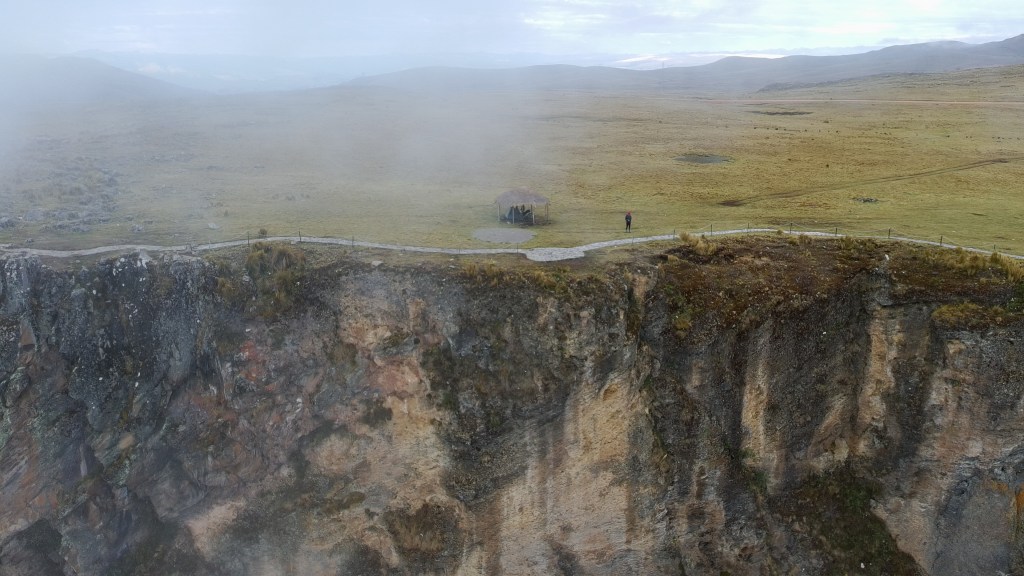
My goal for the first day was El Abismo Puncupata, a viewpoint perched above some cliffs. I figured it would be a great place to watch the sunrise, so I hoped to camp there. First, I had to tackle the long climb. I set off out of Ayacucho through a rundown suburb before finally hitting a dirt road on the outskirts of the city. I descended into a dusty valley and then began the climb.
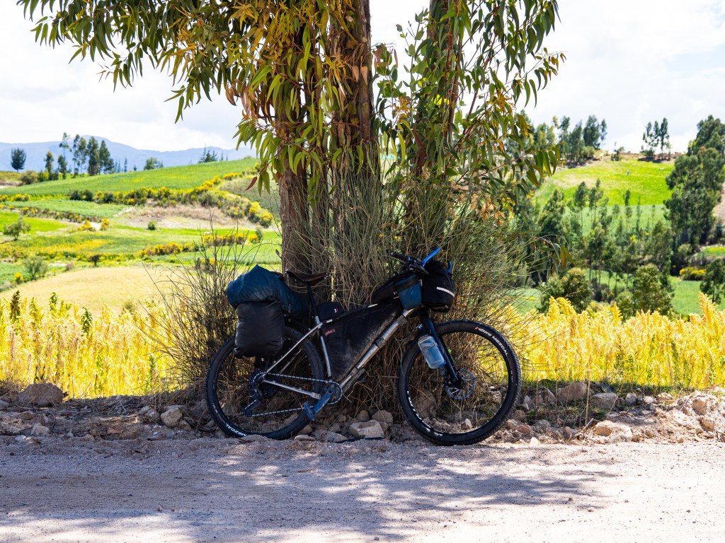
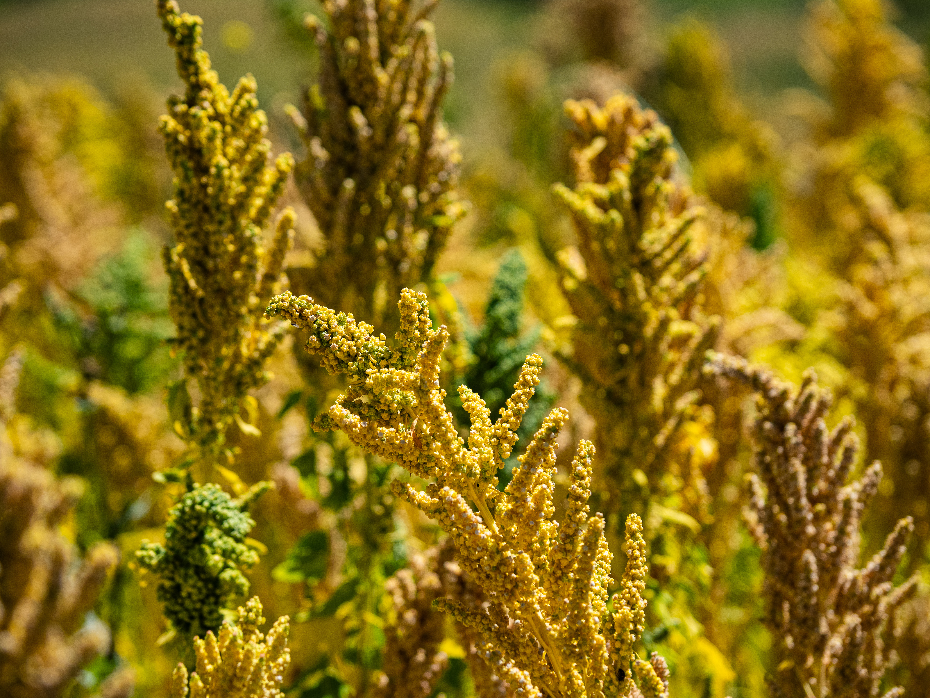
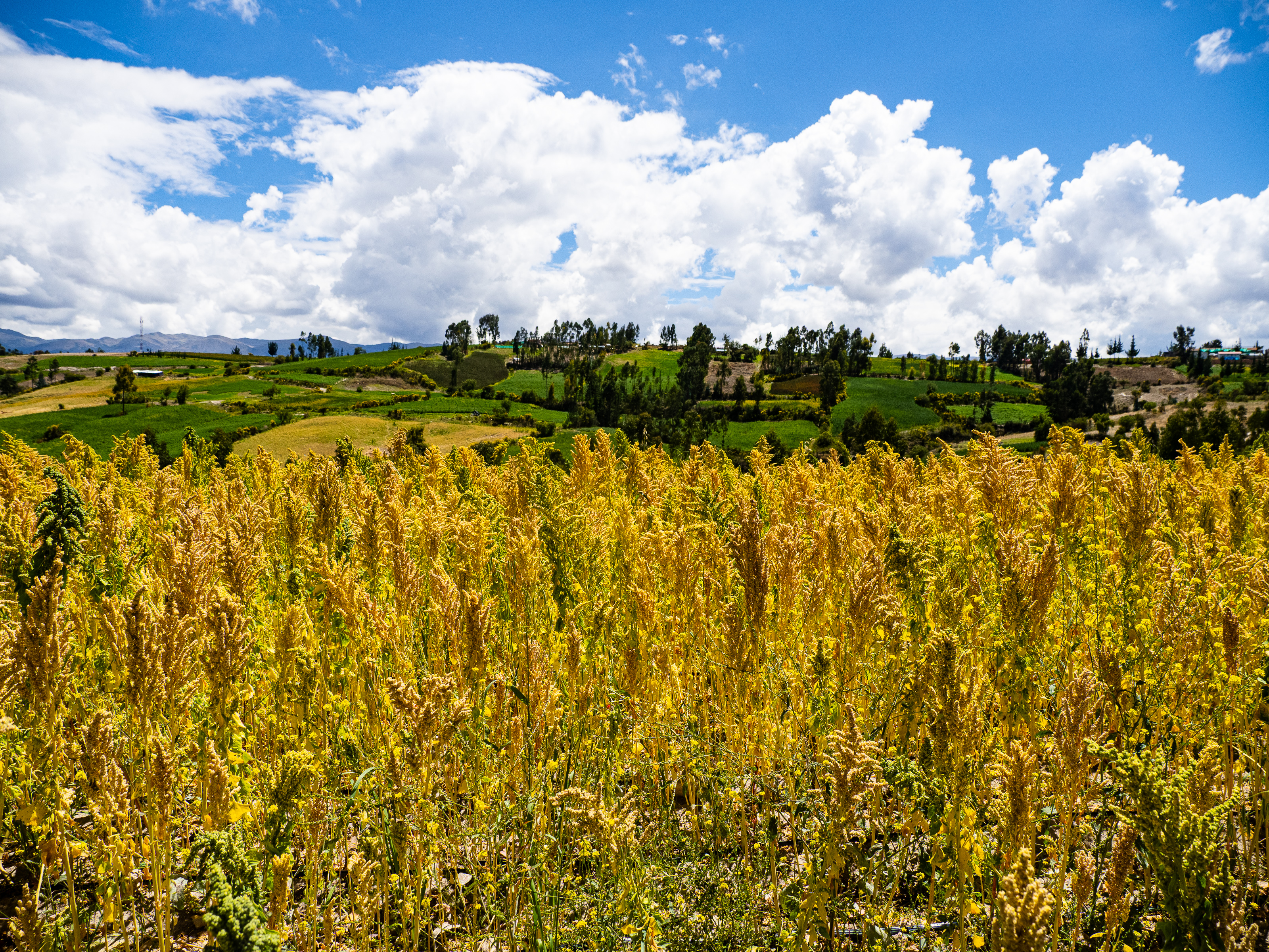
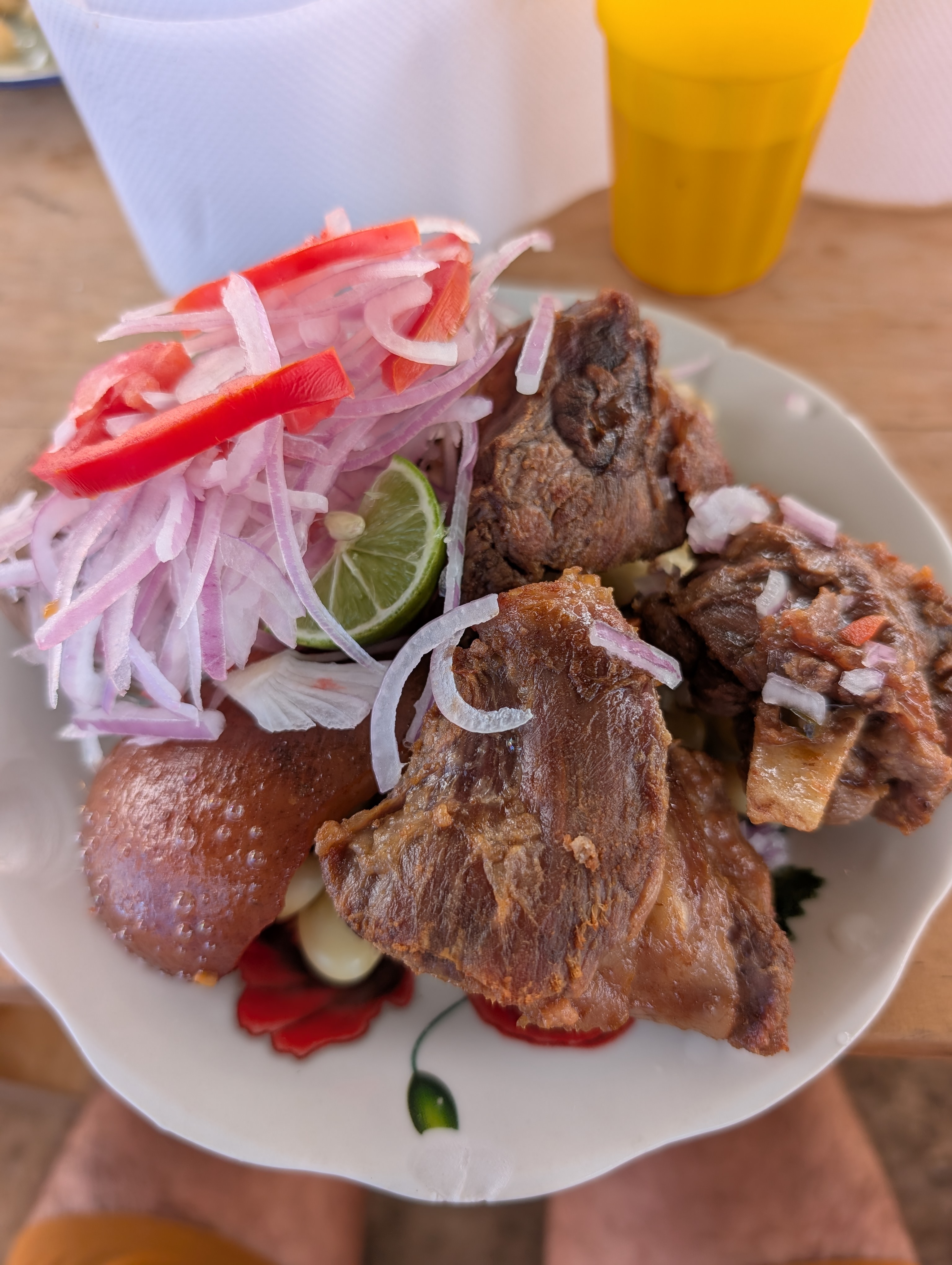
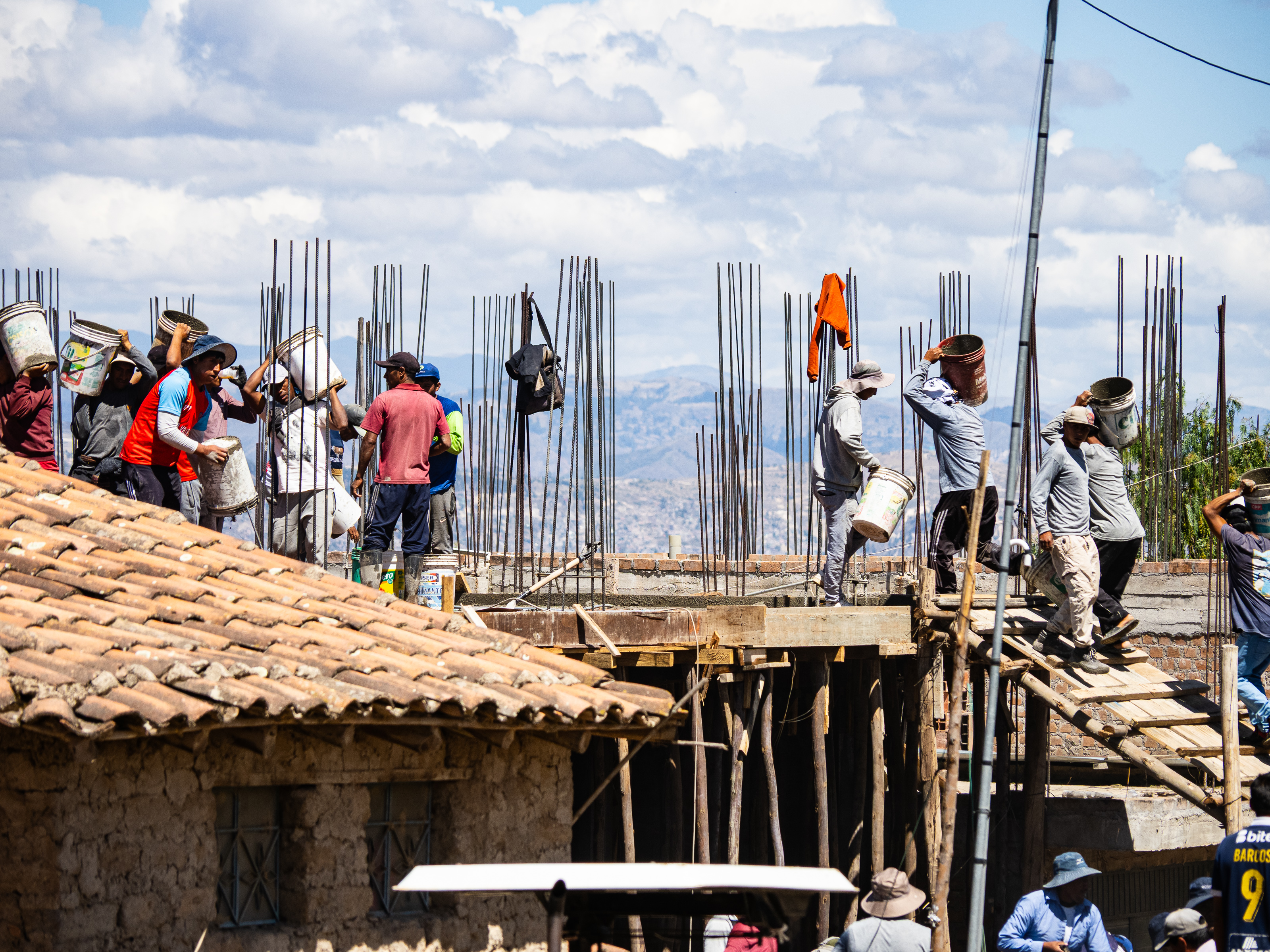
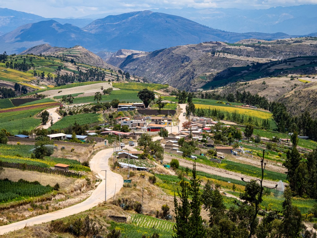
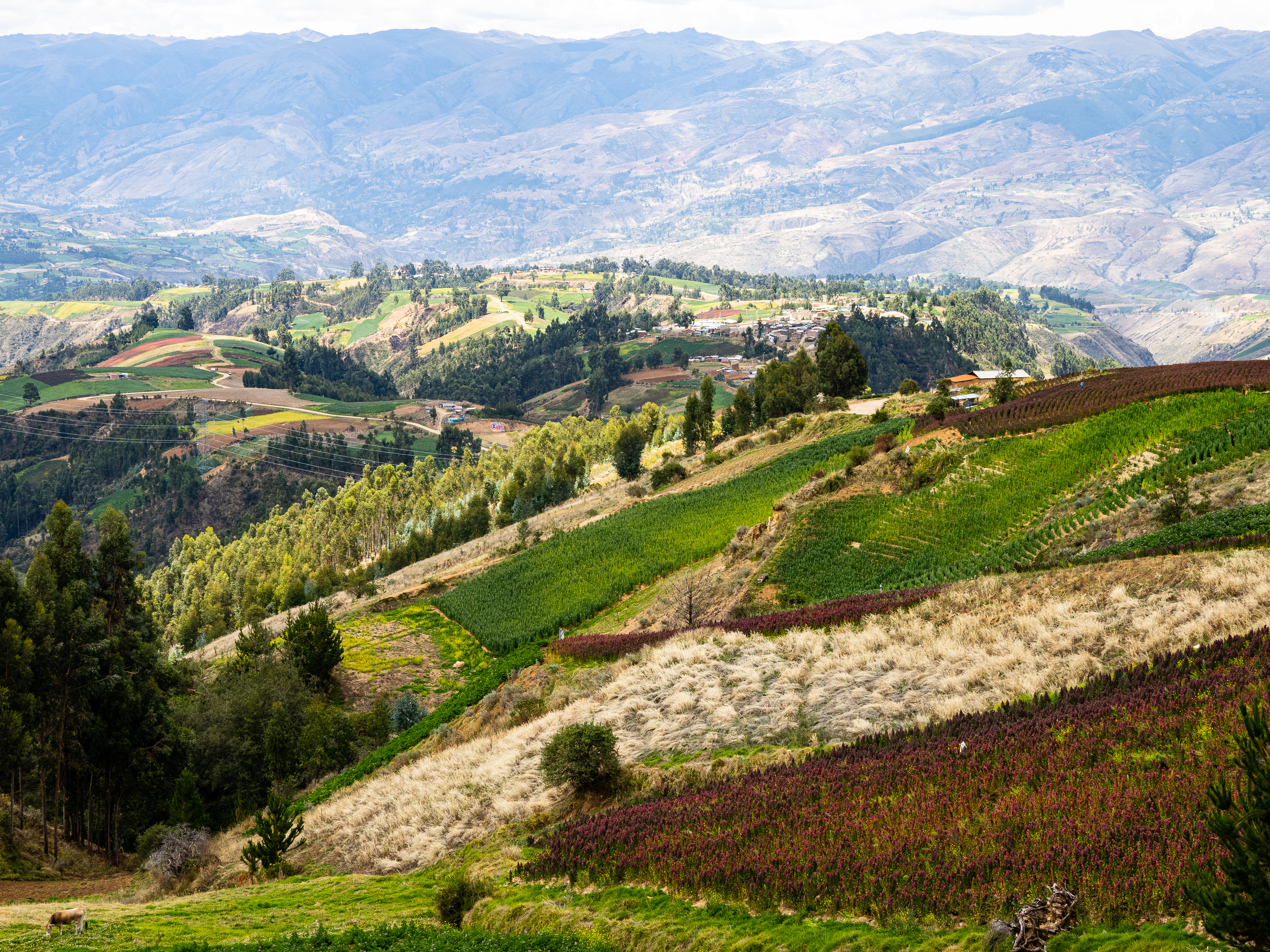
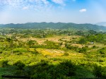
The first 20 kilometres was fairly mellow, with gentle grades and a well-packed surface. I pedaled between colourful fields of quinoa, slowly gaining elevation. I passed through one village where the entire community seemed to be out constructing a new building. They went up and down a ramp carrying buckets of concrete, like ants scurrying back to their colony. At the next village, I stopped for a roadside lunch of chicharon (fried pork belly), potatoes, and corn. I didn’t have much appetite and struggled to get it down – a sign I was feeling the altitude.

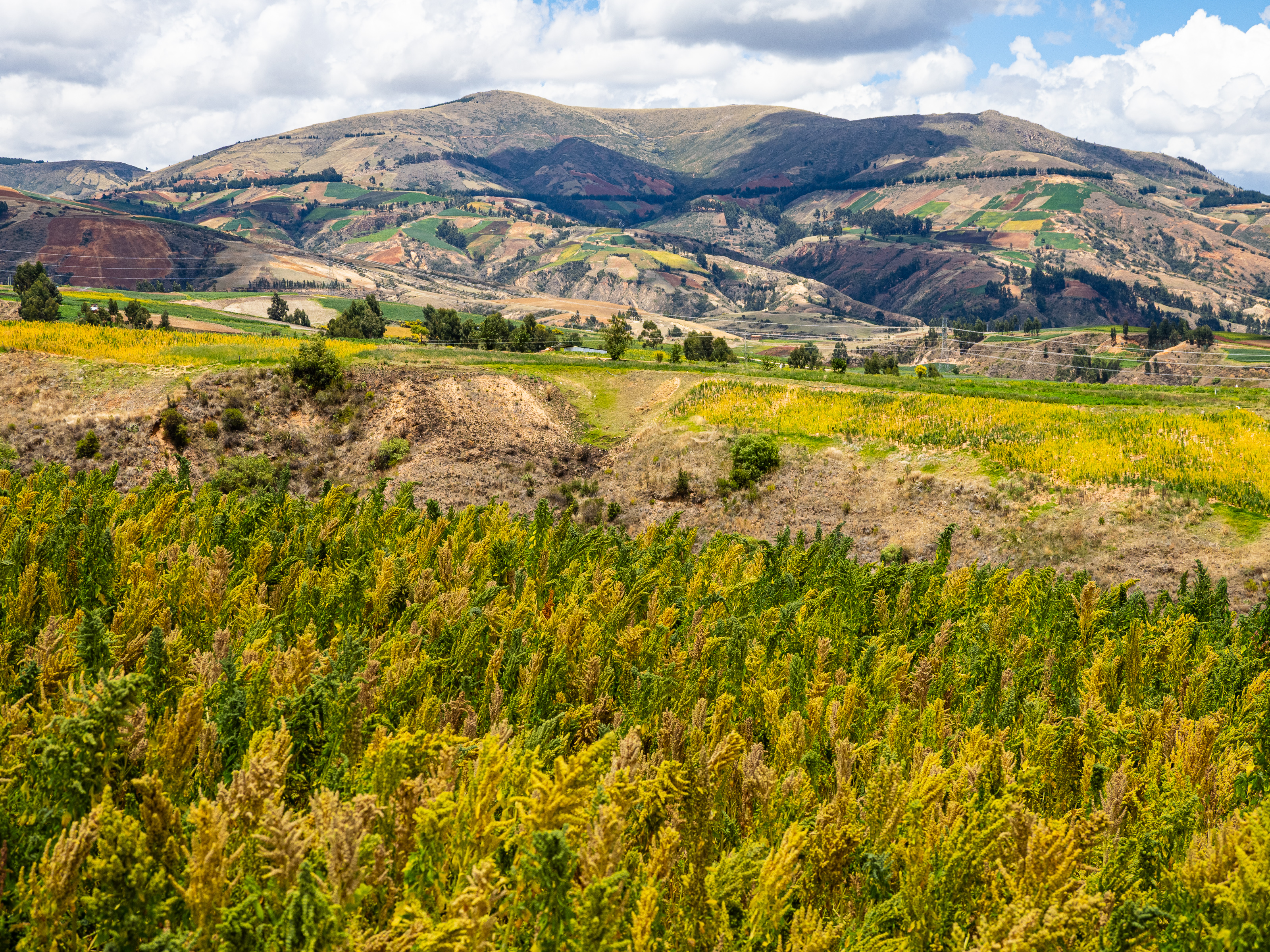
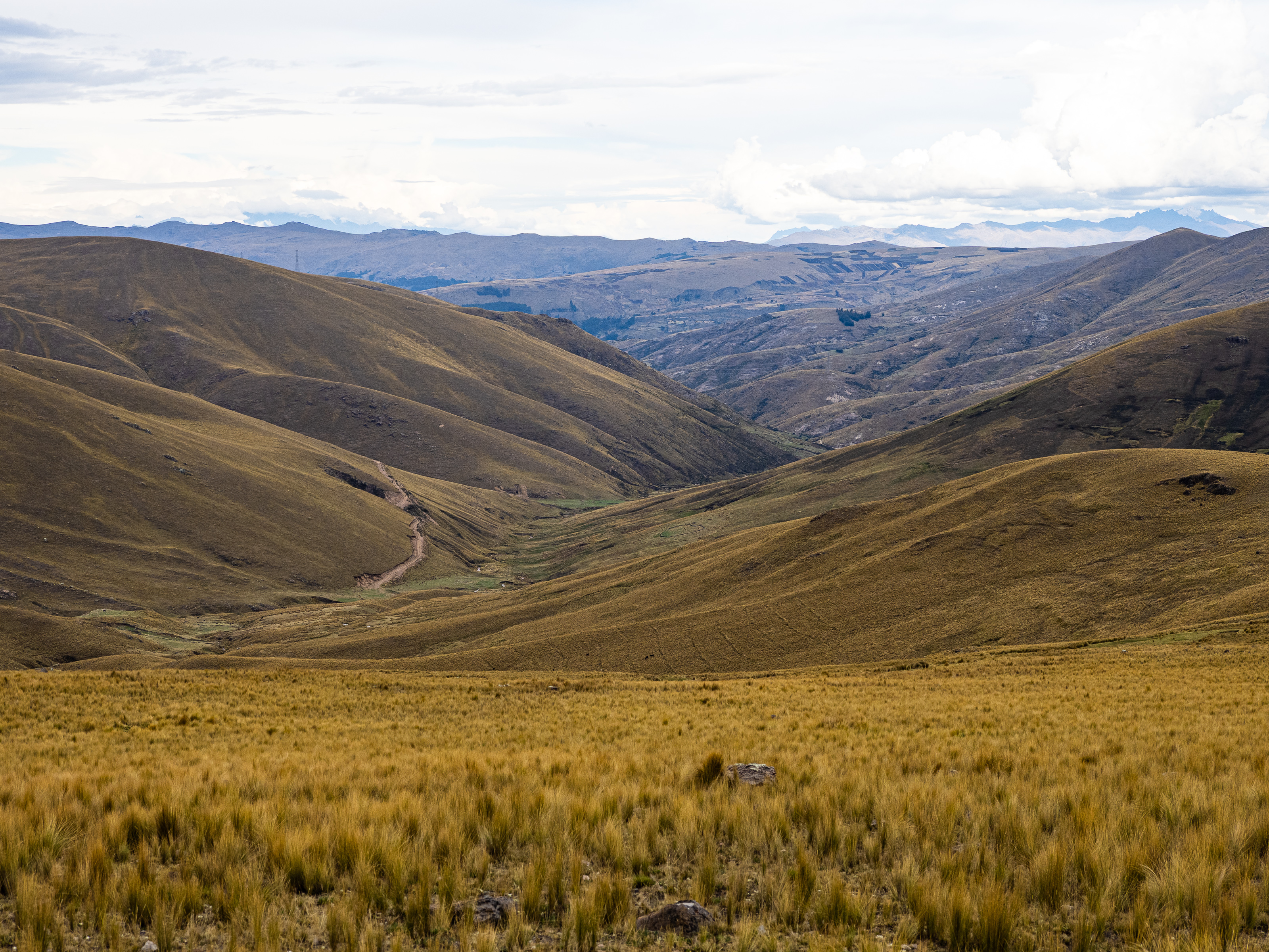
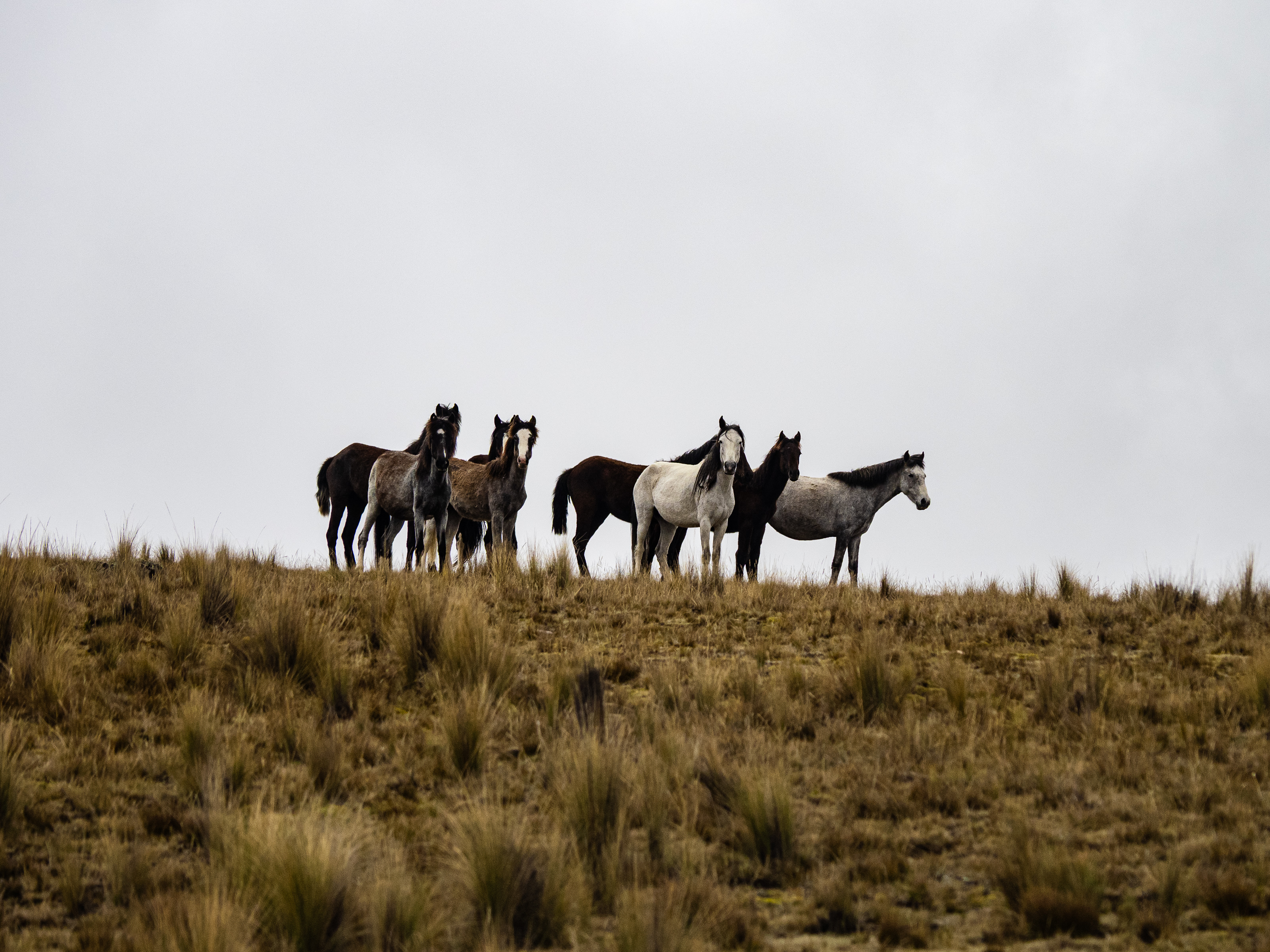
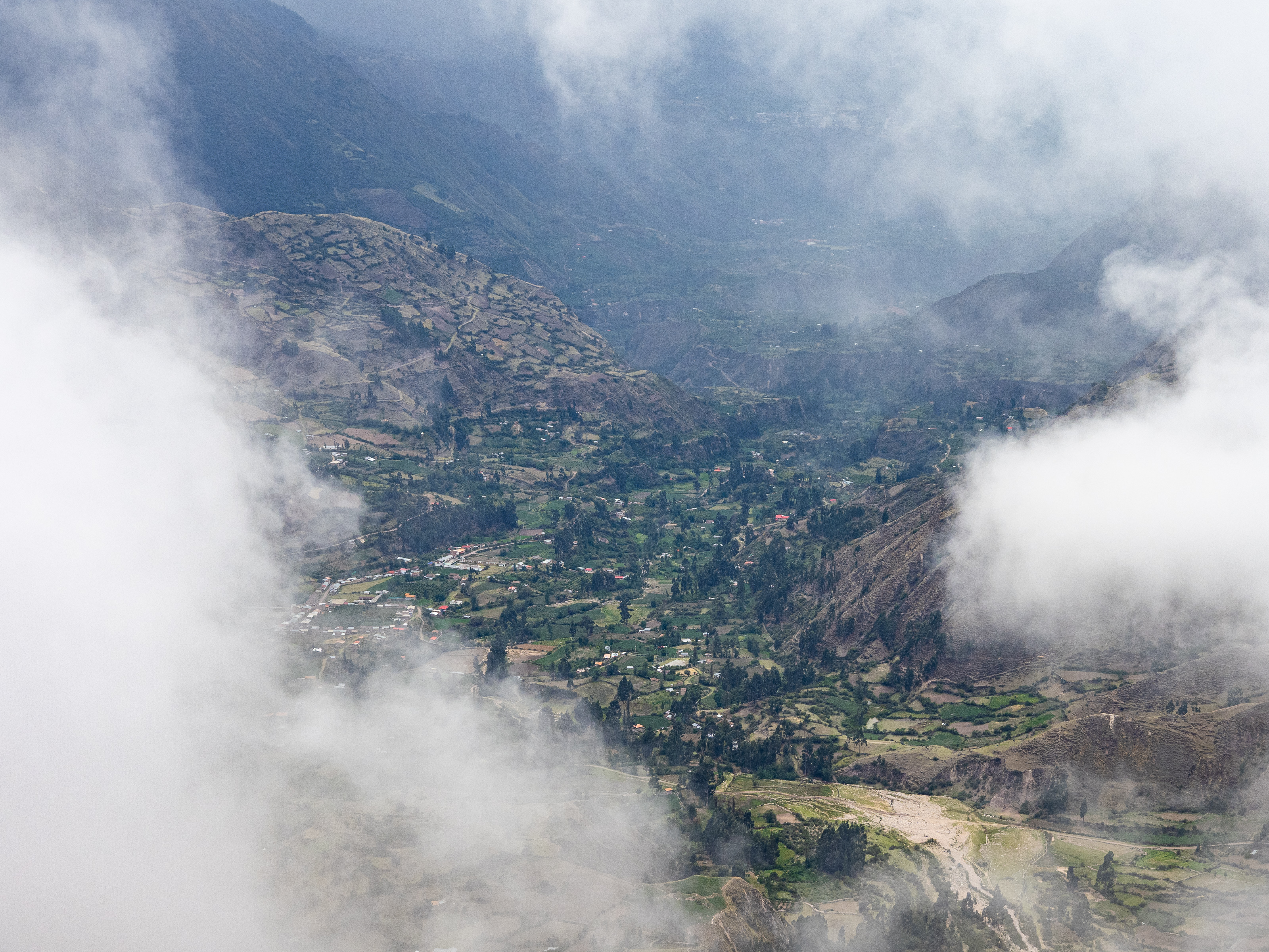
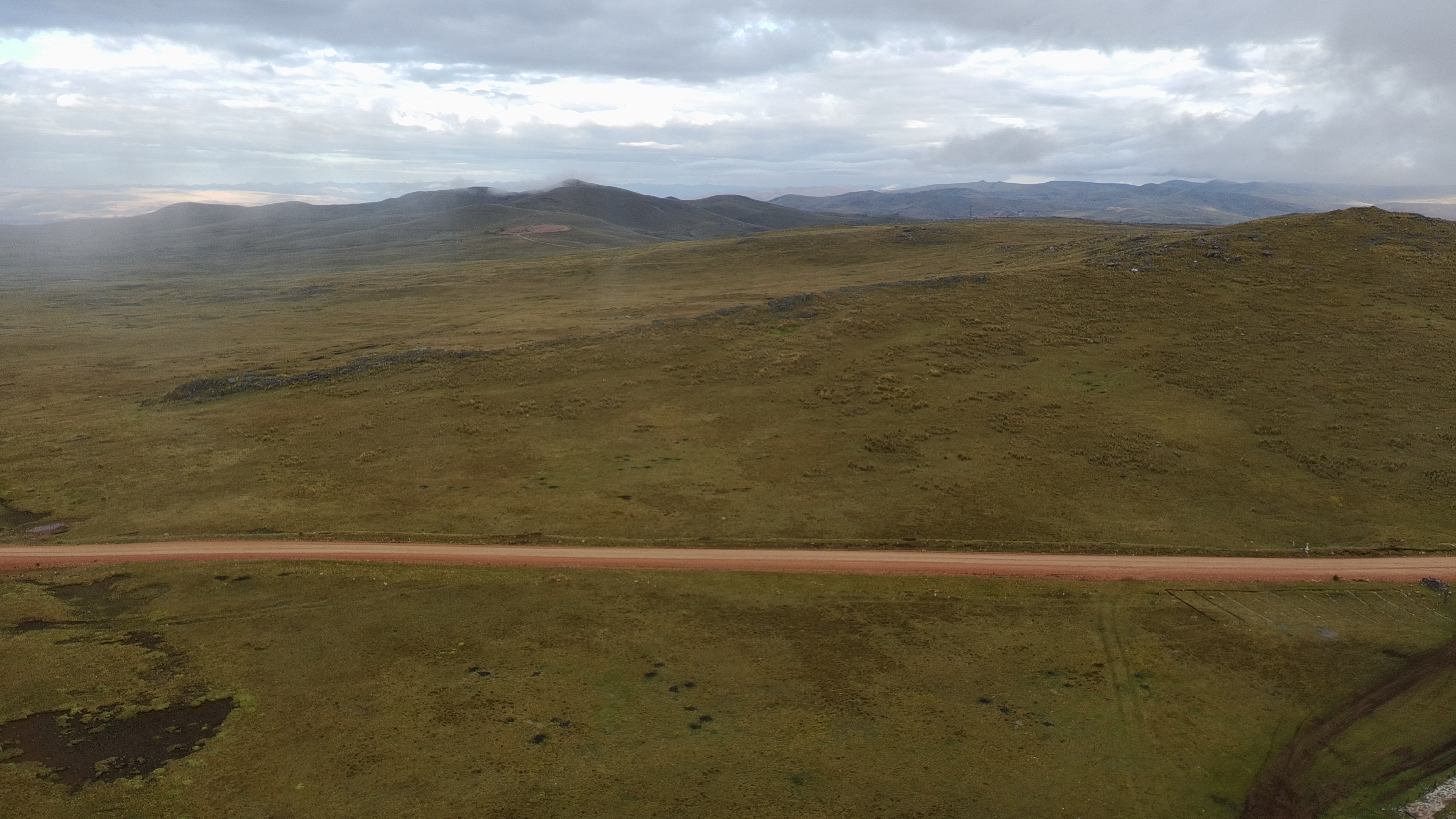
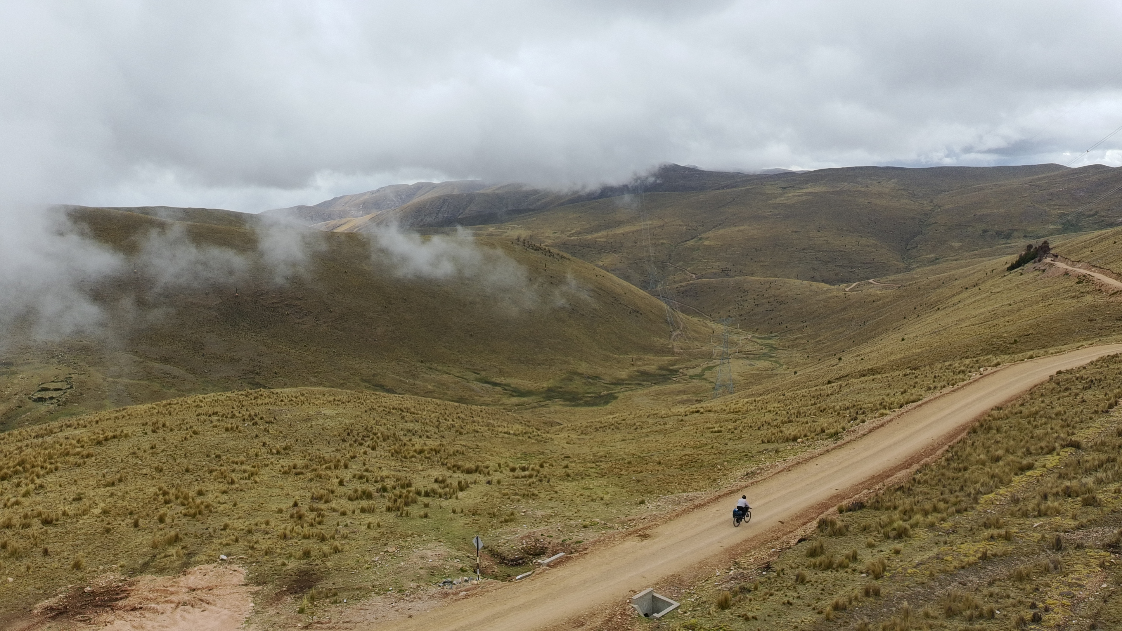
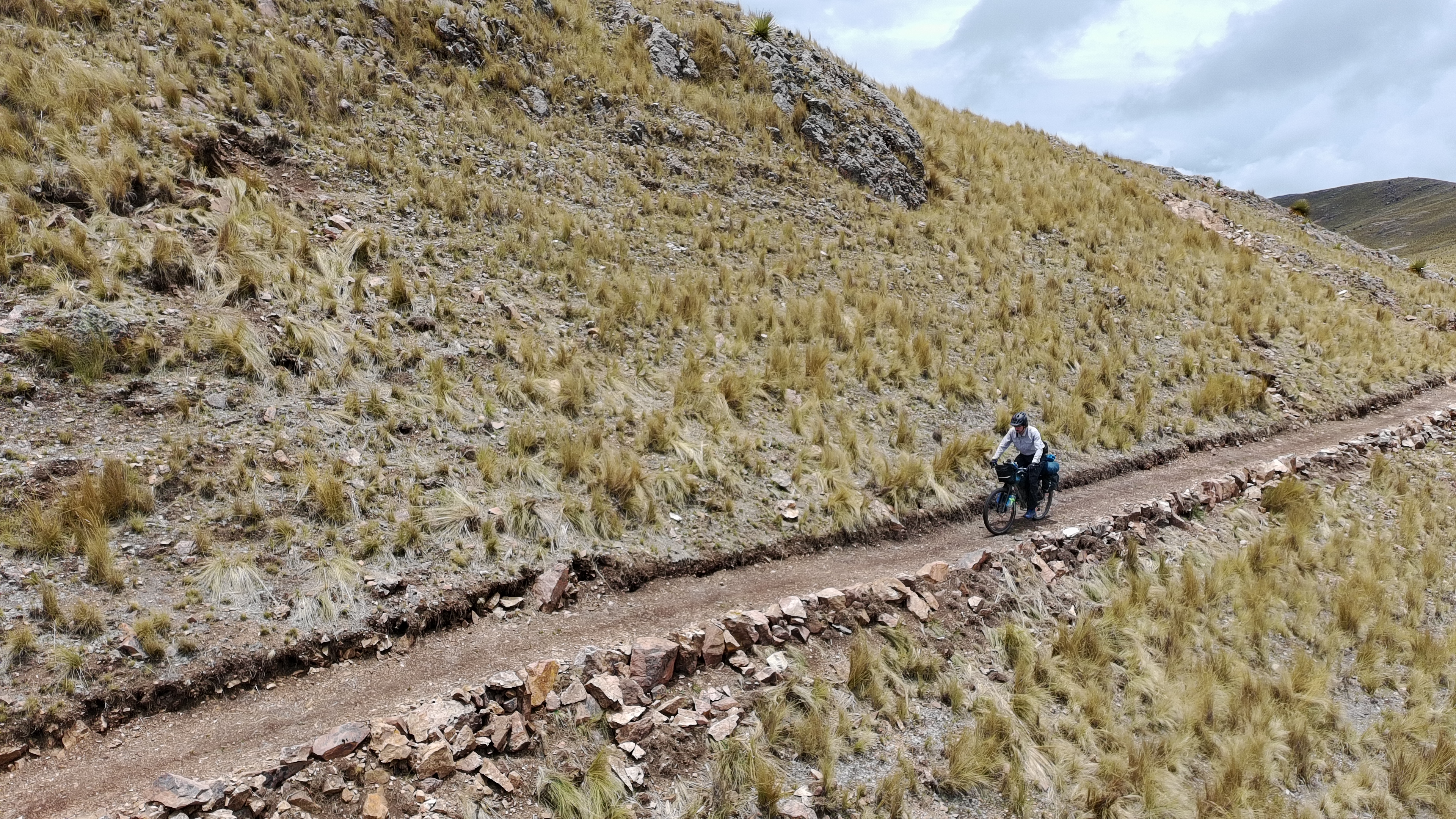
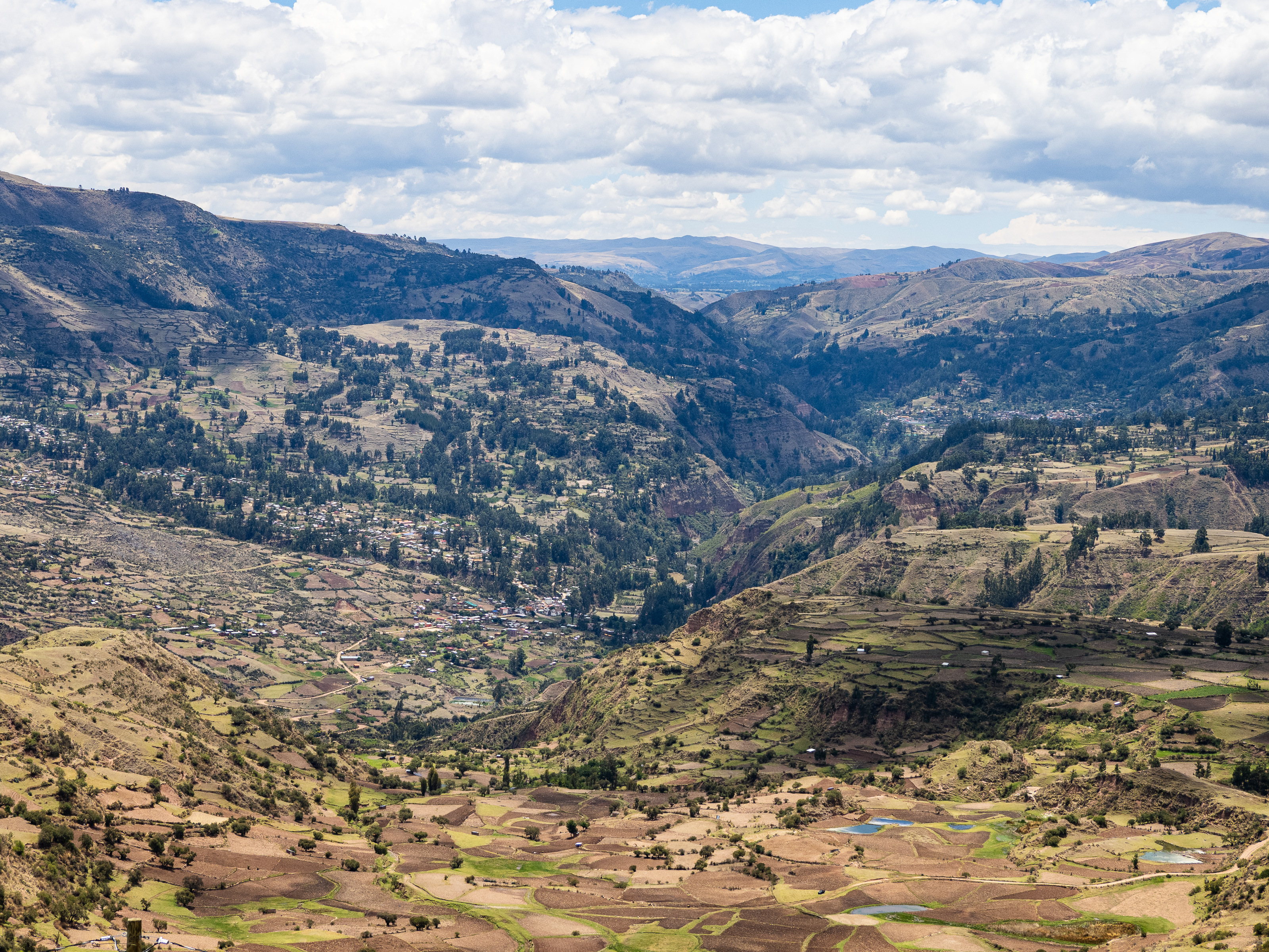
Leaving the village, I got hit by a double-whammy of a flat tire and a spattering of rain. I found a sheltered spot to patch my tire and the rain let up by the time I got going again. The climb continued gently upward through more small villages. Eventually I hit a junction where the road split. I was now 3,700m above sea level and had reached the treeless puna, where agriculture gives way to grazing. I was feeling sluggish, so I shoved a handful of coca leaves into my mouth and started chewing. It seemed to work, as I was able to keep plodding upwards. Looking back, I enjoyed the view of the patchwork landscape and small villages below me, exceedingly happy with my decision to return to Peru.
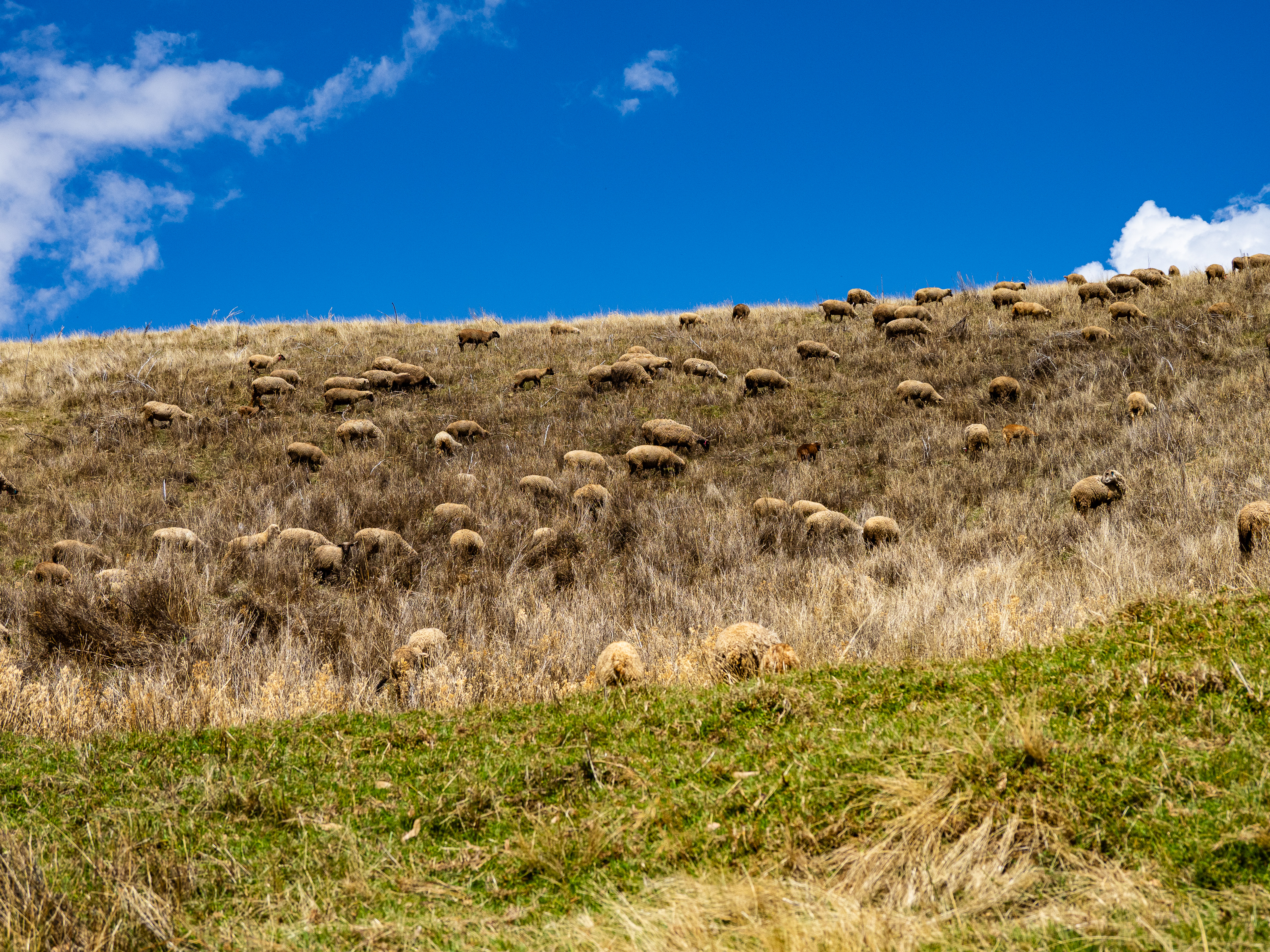
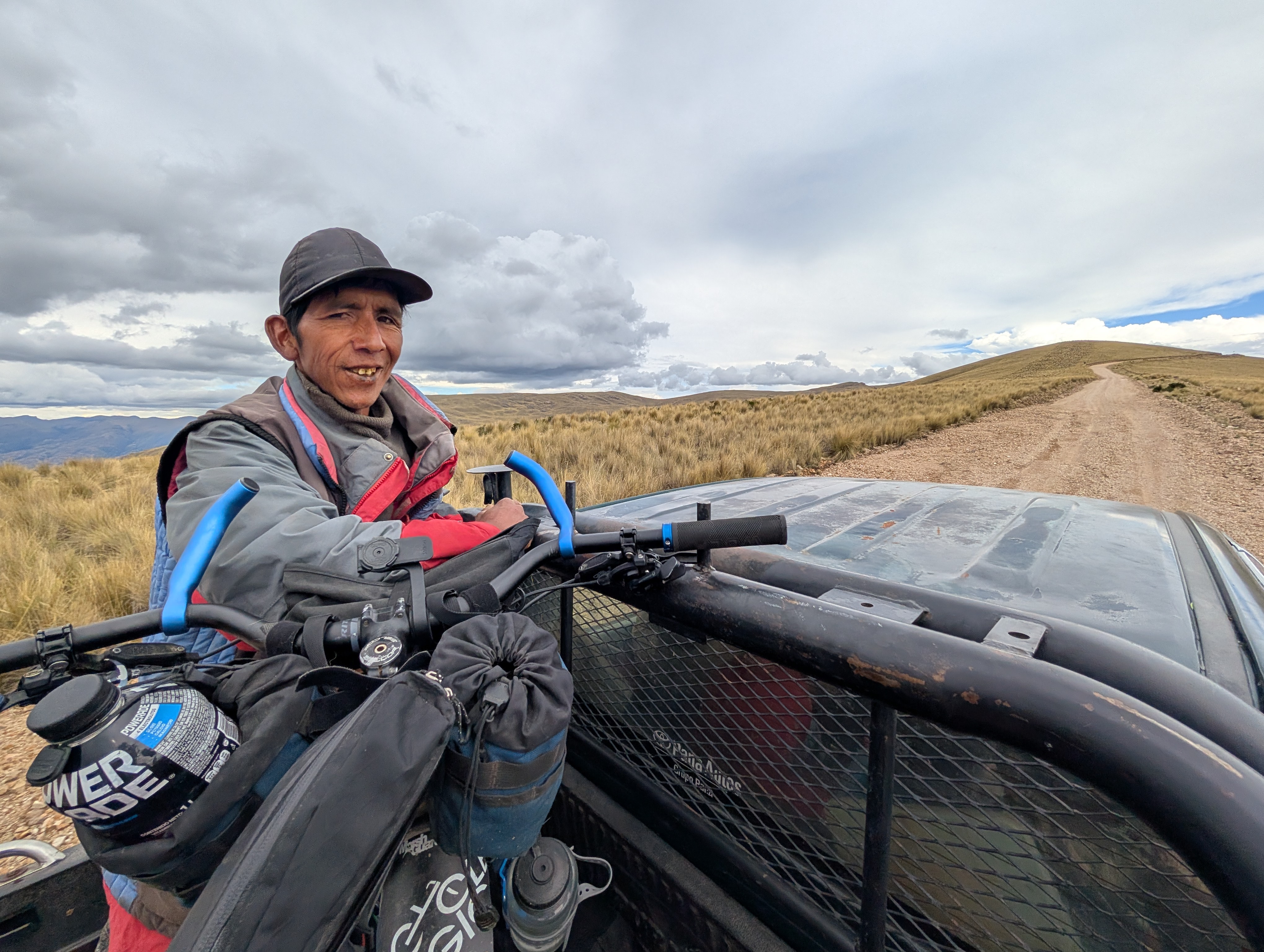
The next stretch was quite steep, especially at this altitude, and I spent a lot of time pushing. The hours were ticking by and I realized I was unlikely to reach my destination before dark. Then, a rancher drove by and offered me a ride in the back of his pickup. None too proud, I accepted. I shared the bed of the pickup with a shepherd who was on his way to tend to his herd of sheep.
I jumped out of the truck at the top of the climb and rolled along to the highway. I had less than two hours of daylight and 25 km of ups and downs to my destination. My first priority was to find water. I was completely out and hadn’t seen any for a while. Fortunately, I came across two small ponds at the side of the road that looked clean enough. I filtered water into my bottles and topped up bladder in case I ended up dry camping.
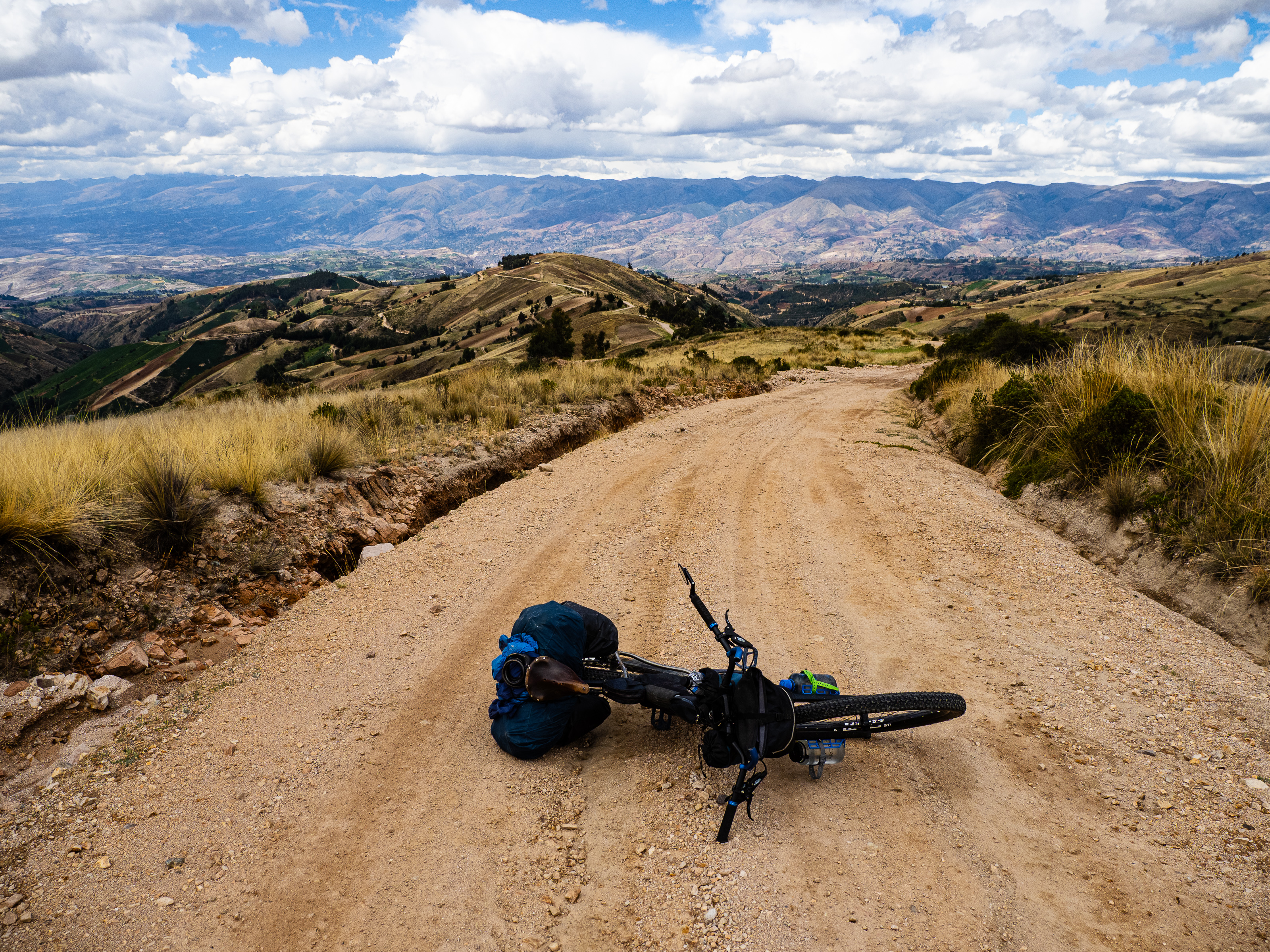

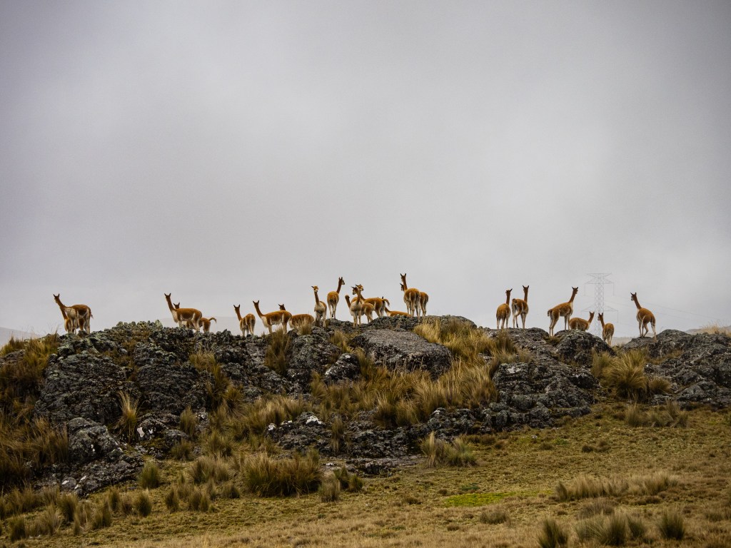
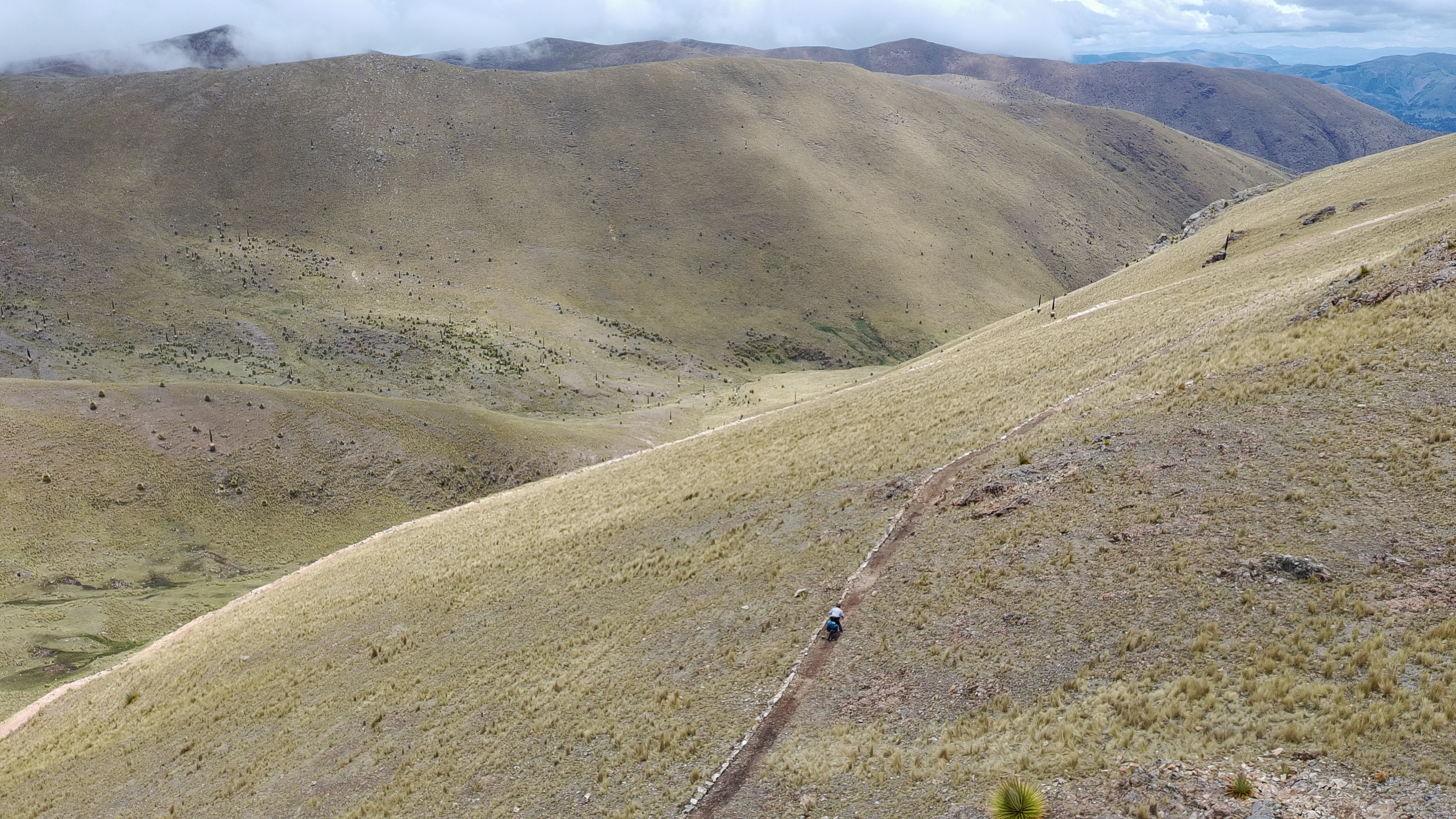
Darkness was quickly approaching as I reached the final climb towards Puncupata. I debated camping at the base of the climb or continuing on into the dusk. I was still moving reasonably well and really wanted that sunrise, so I kept going. I put on my headlamp, tackled the 200m climb and turned onto the dirt road towards my goal. Back on dirt, I made out some vicuna playing in the dark.
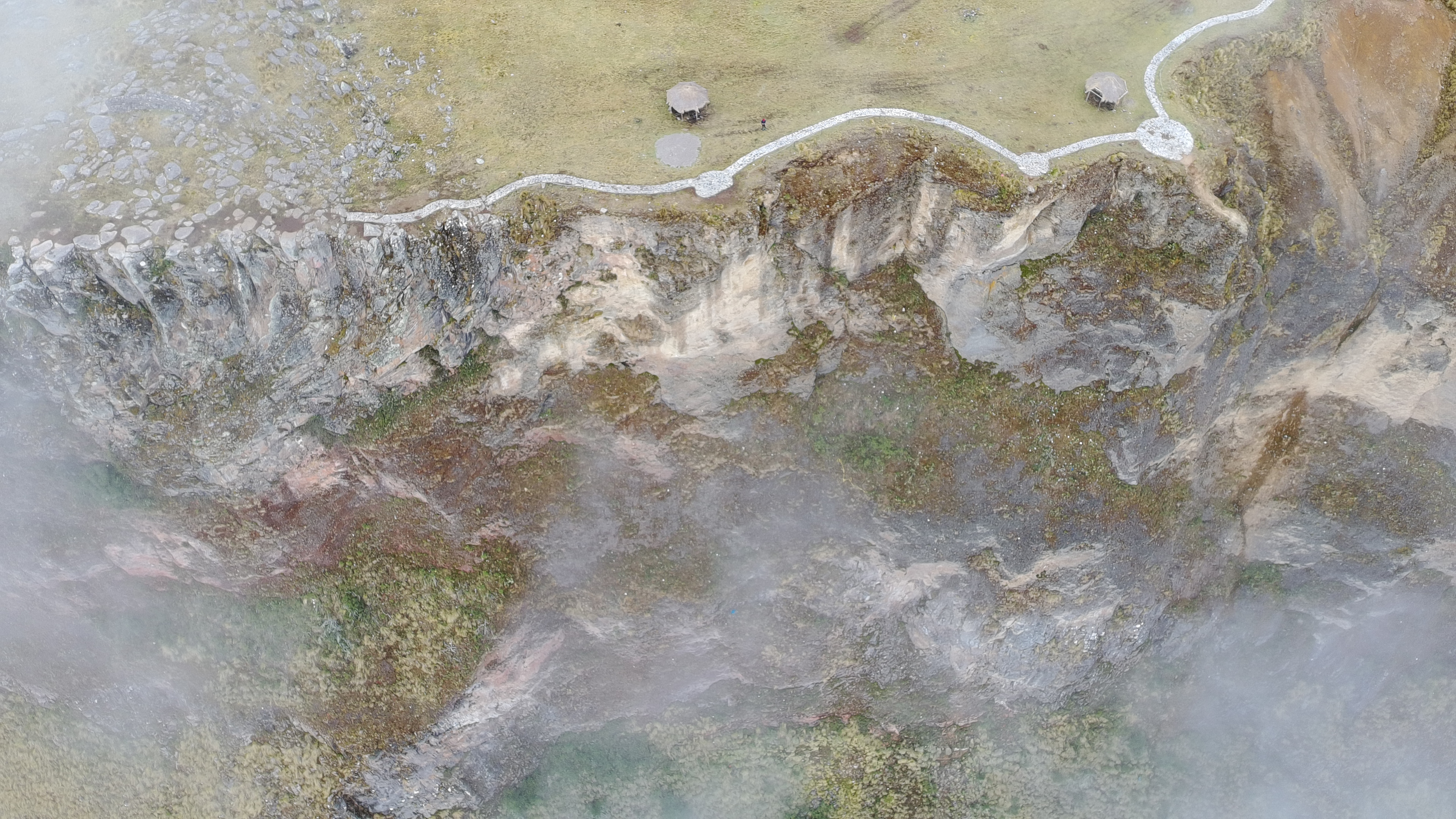
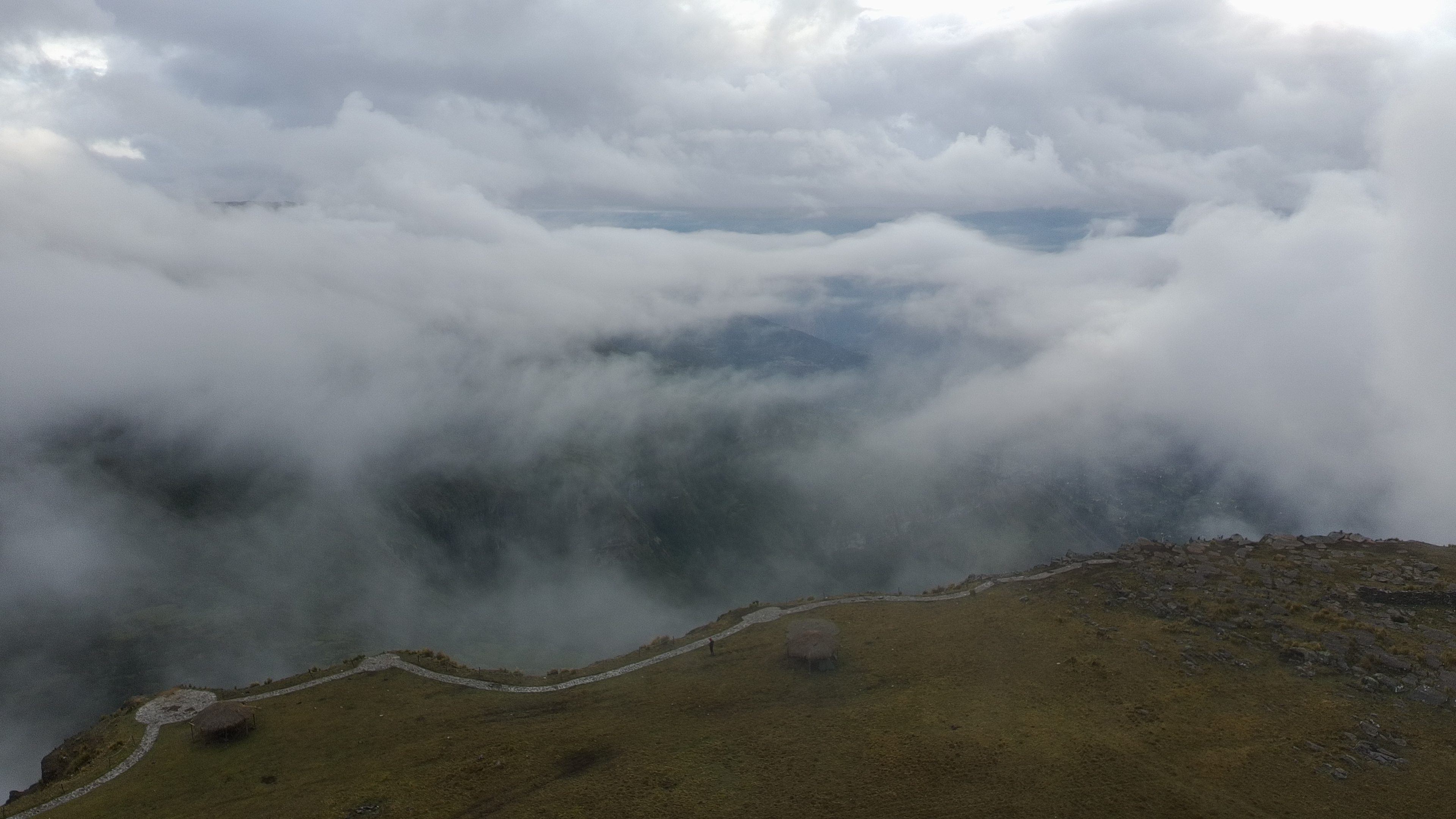
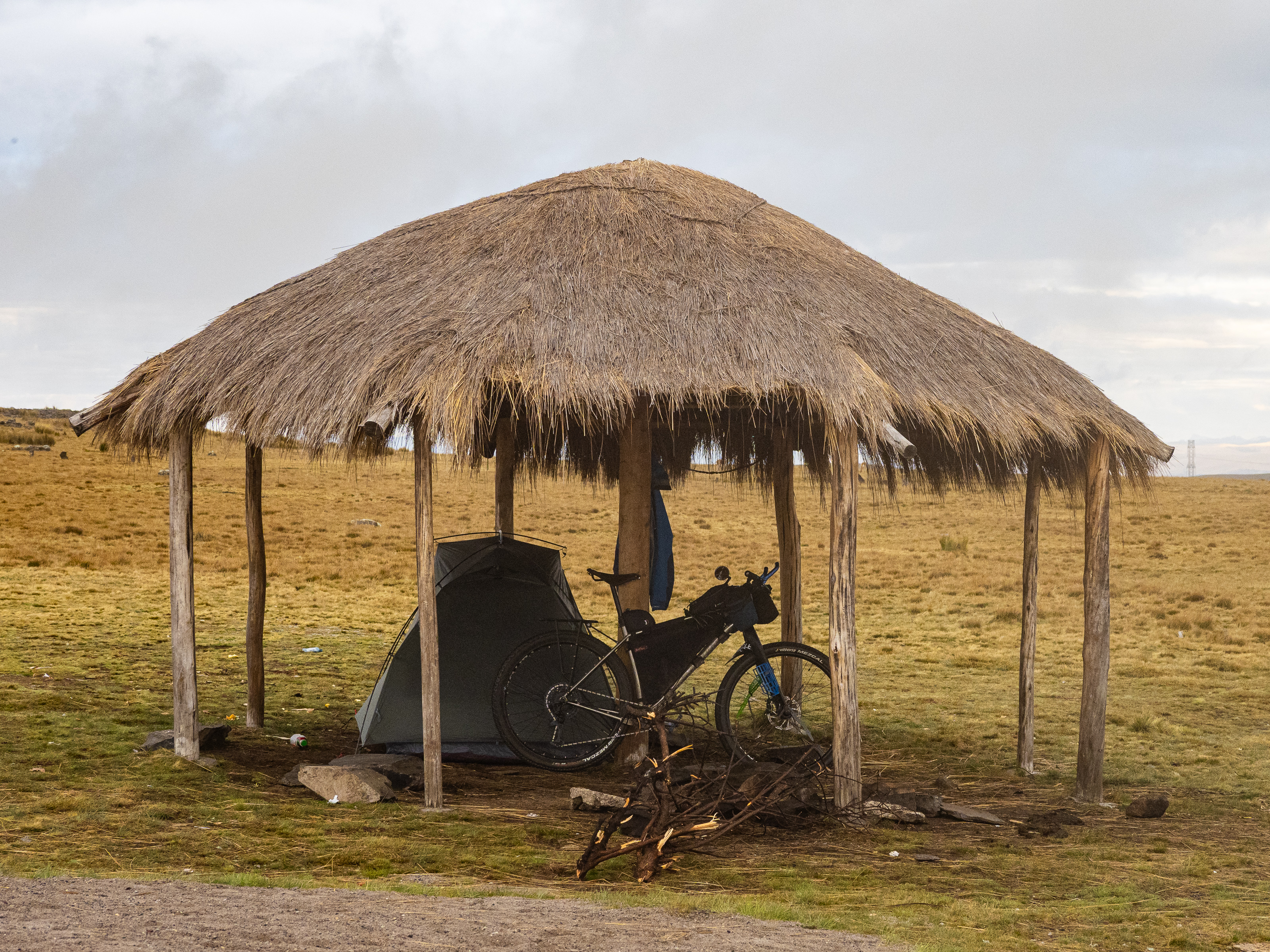
Finally, I reached my destination. Much to my chagrin, there was a group there playing some loud music. There is a series of picnic shelters at Puncupata, so I found one as far from the action as possible to set up camp. It was filled with garbage, so I cleaned it up, pitched my tent, and cooked up some dried meat, mashed potatoes, and spices for dinner. The partiers went home and I settled in with the place to myself.
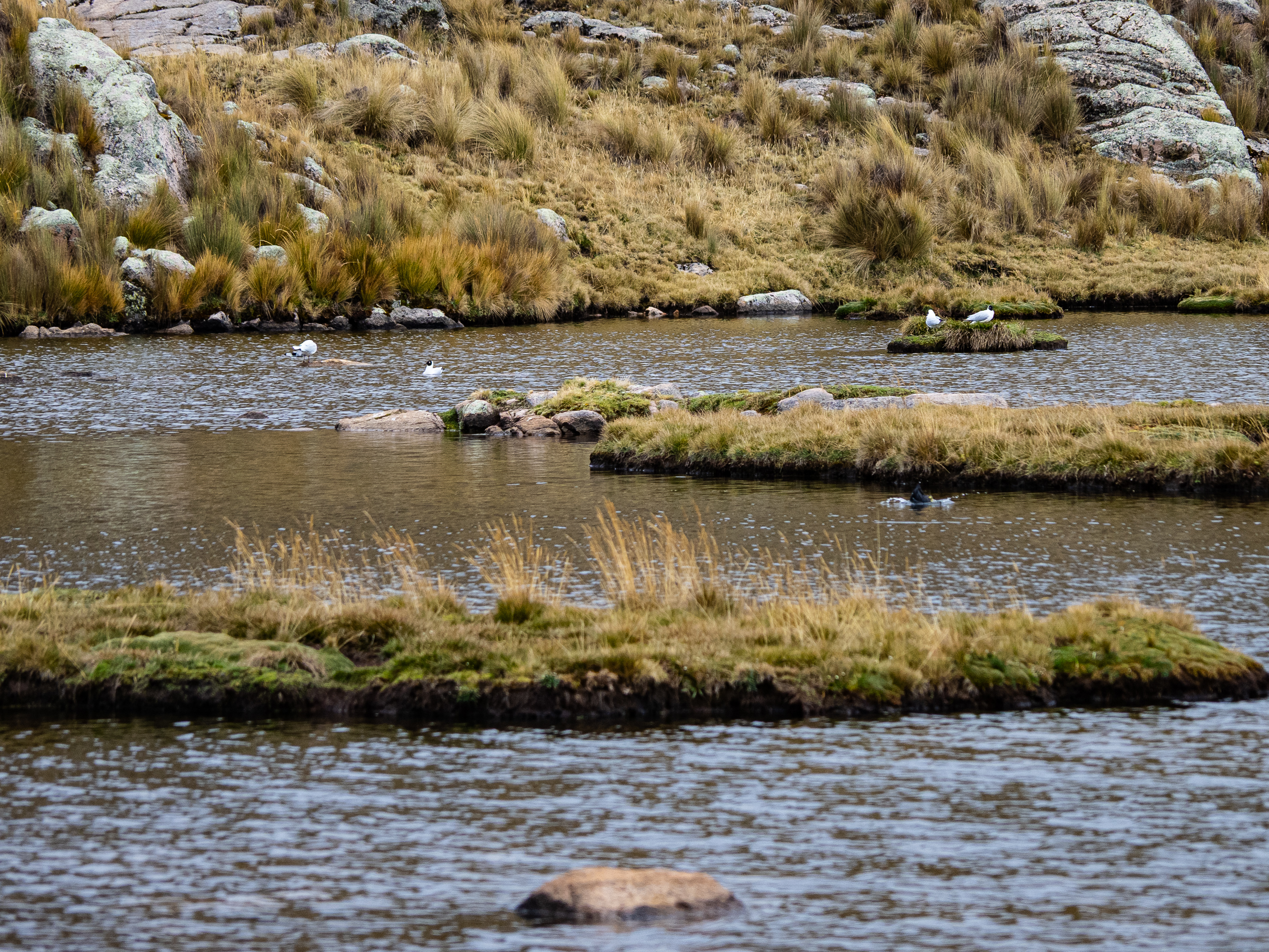
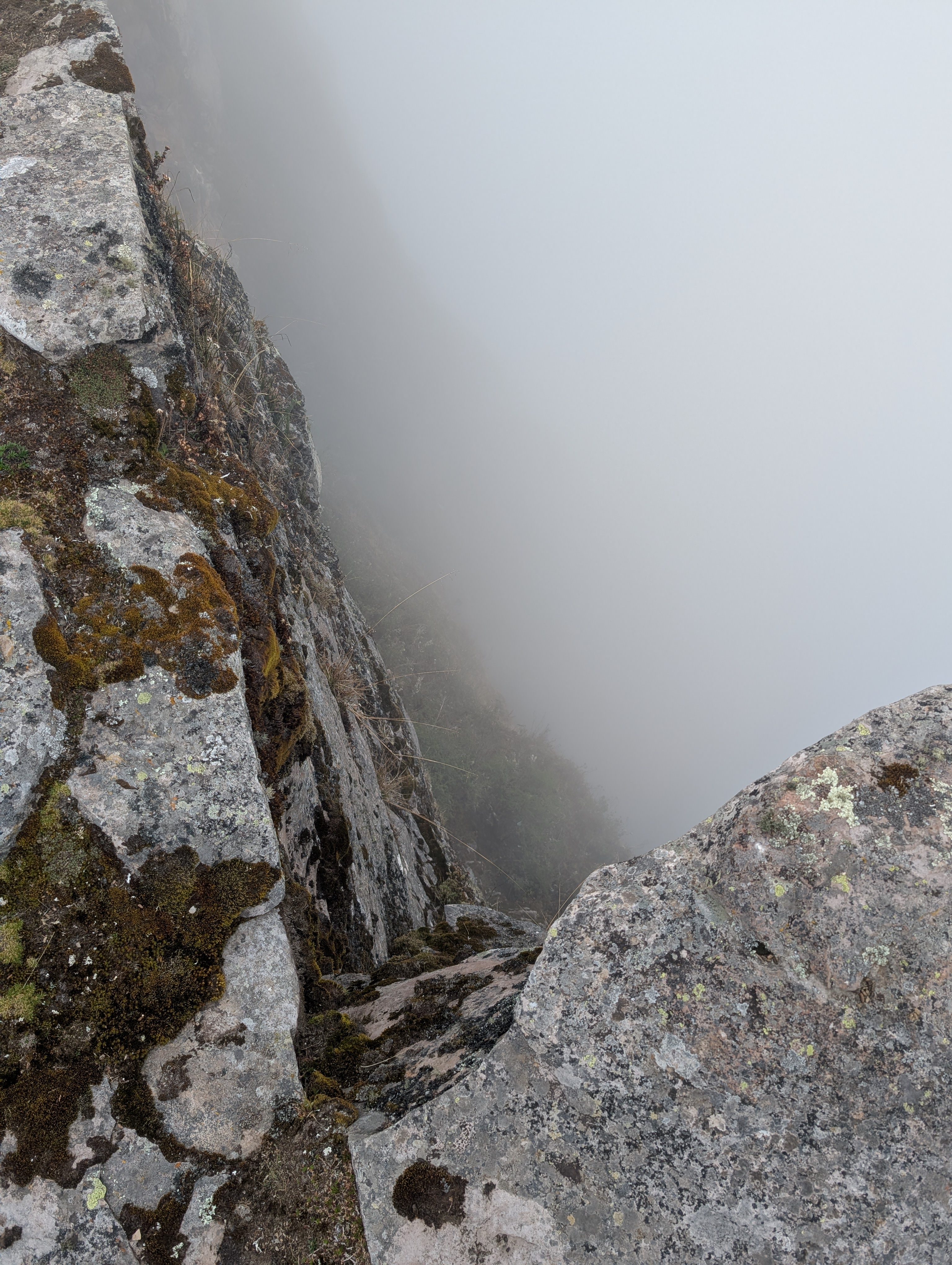
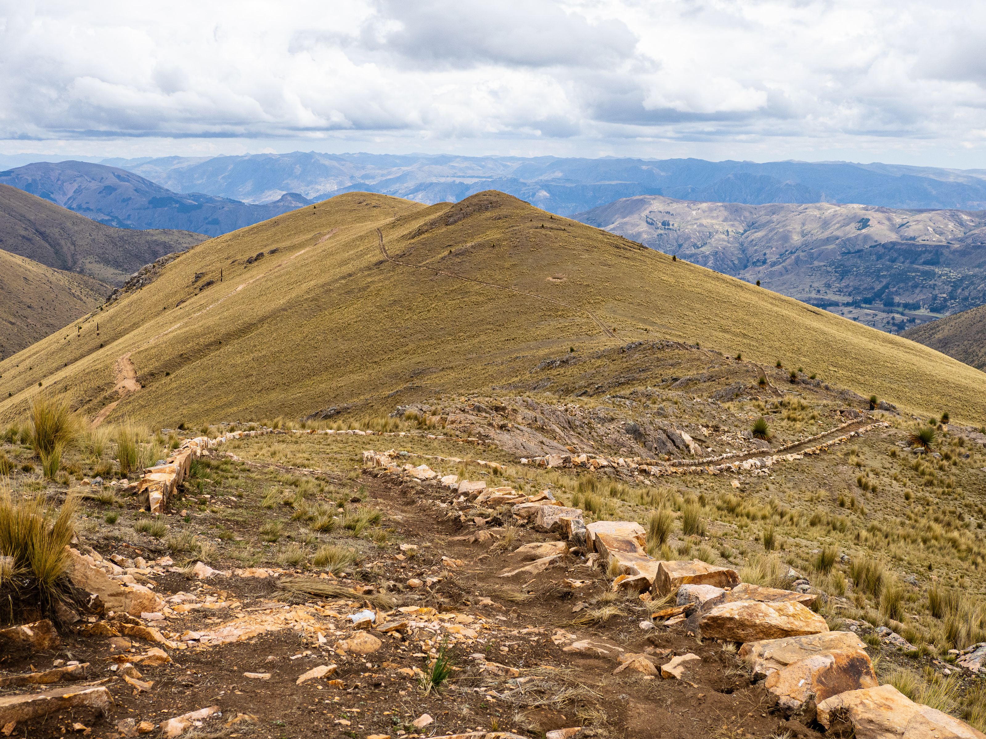
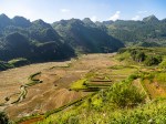
I slept surprisingly well despite being at 4,300m, but I woke up the in a thick cloud. So much for my sunrise. Fortunately, the clouds broke enough so I could enjoy the view of the valley 1,000m below. I took my drone for a flight and watched some birds flutter about. The clouds closed in again and I wandered the cliffside, hoping they would break apart again. Eventually, I enjoyed some coca tea and oatmeal, broke camp and set off into the mist.
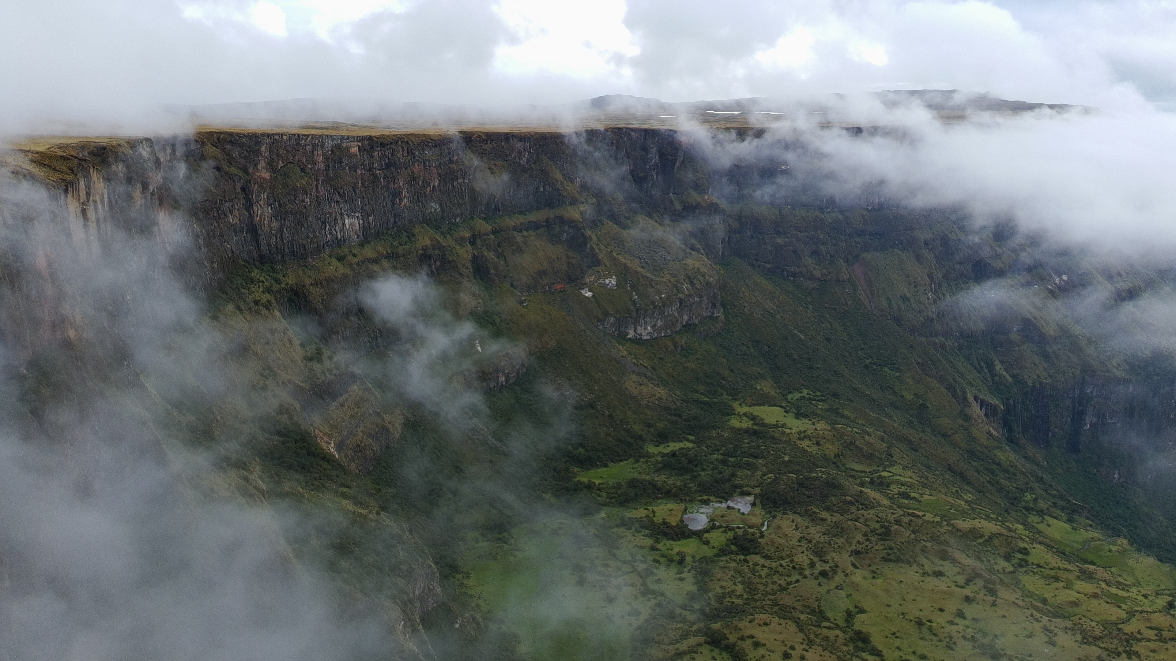

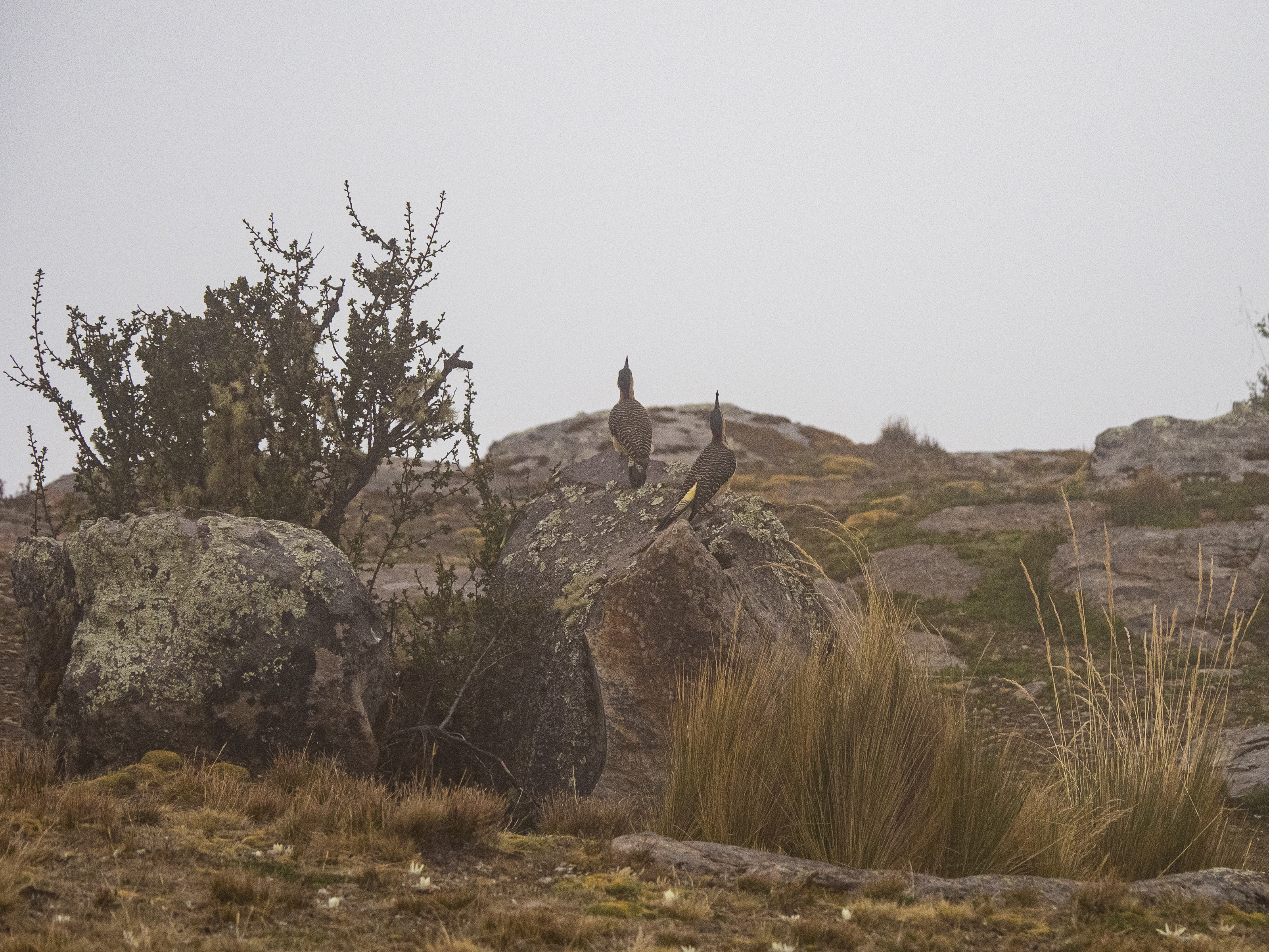
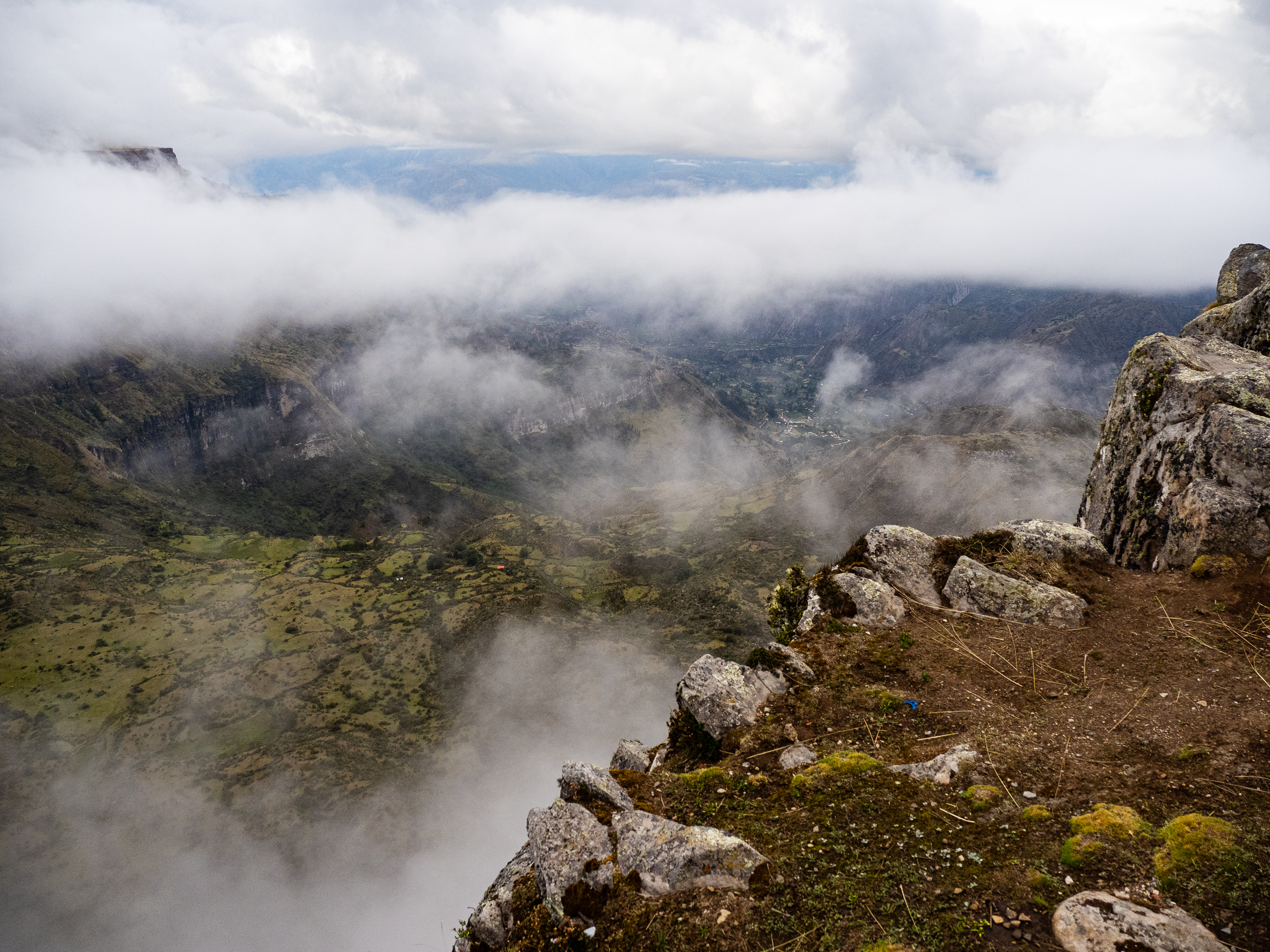
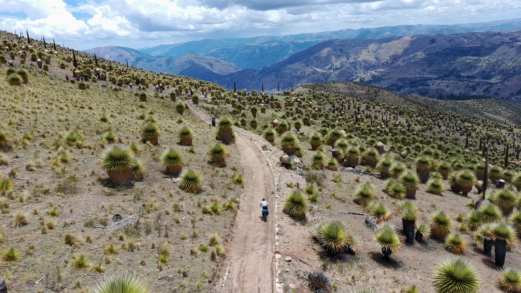
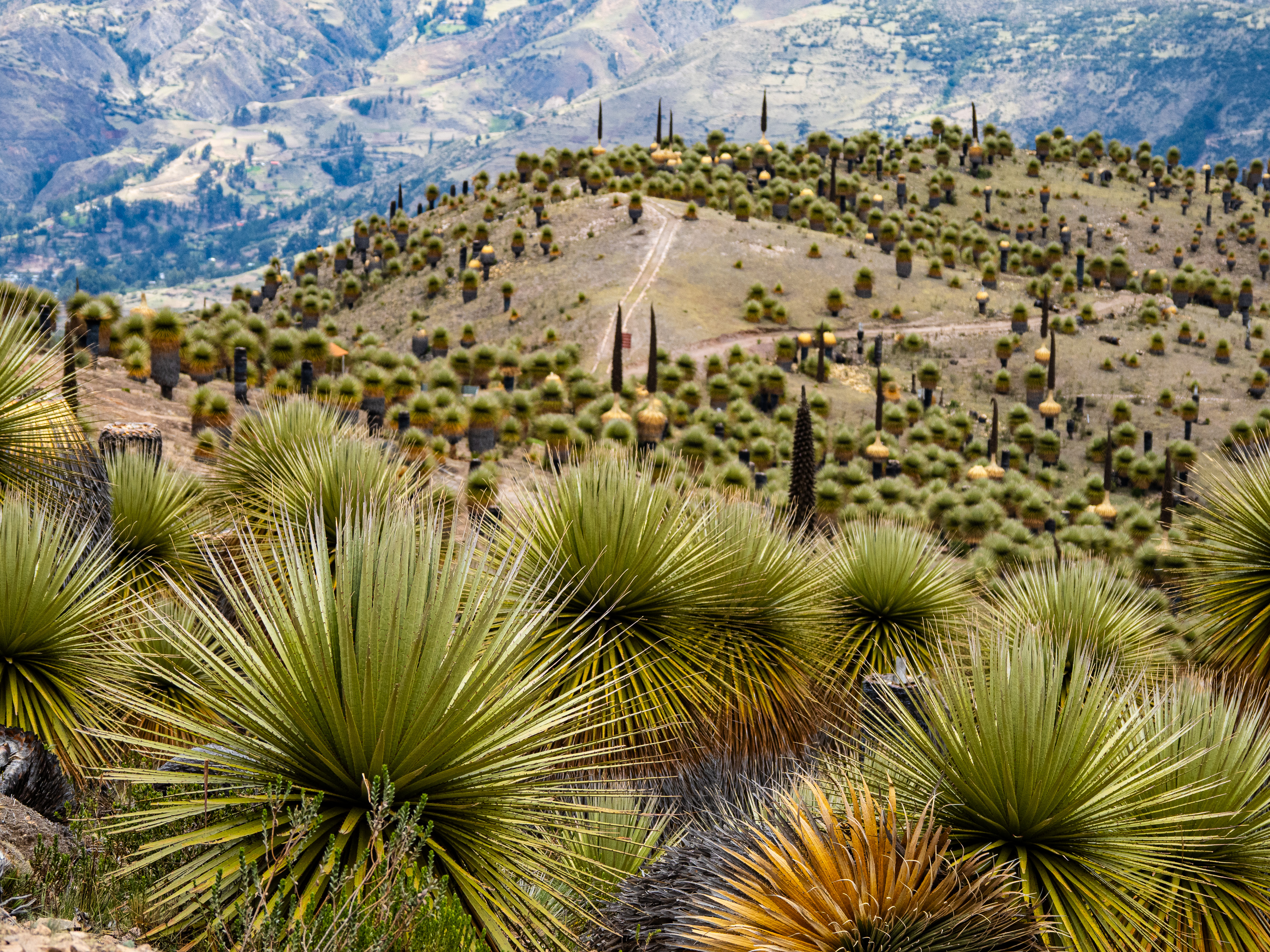
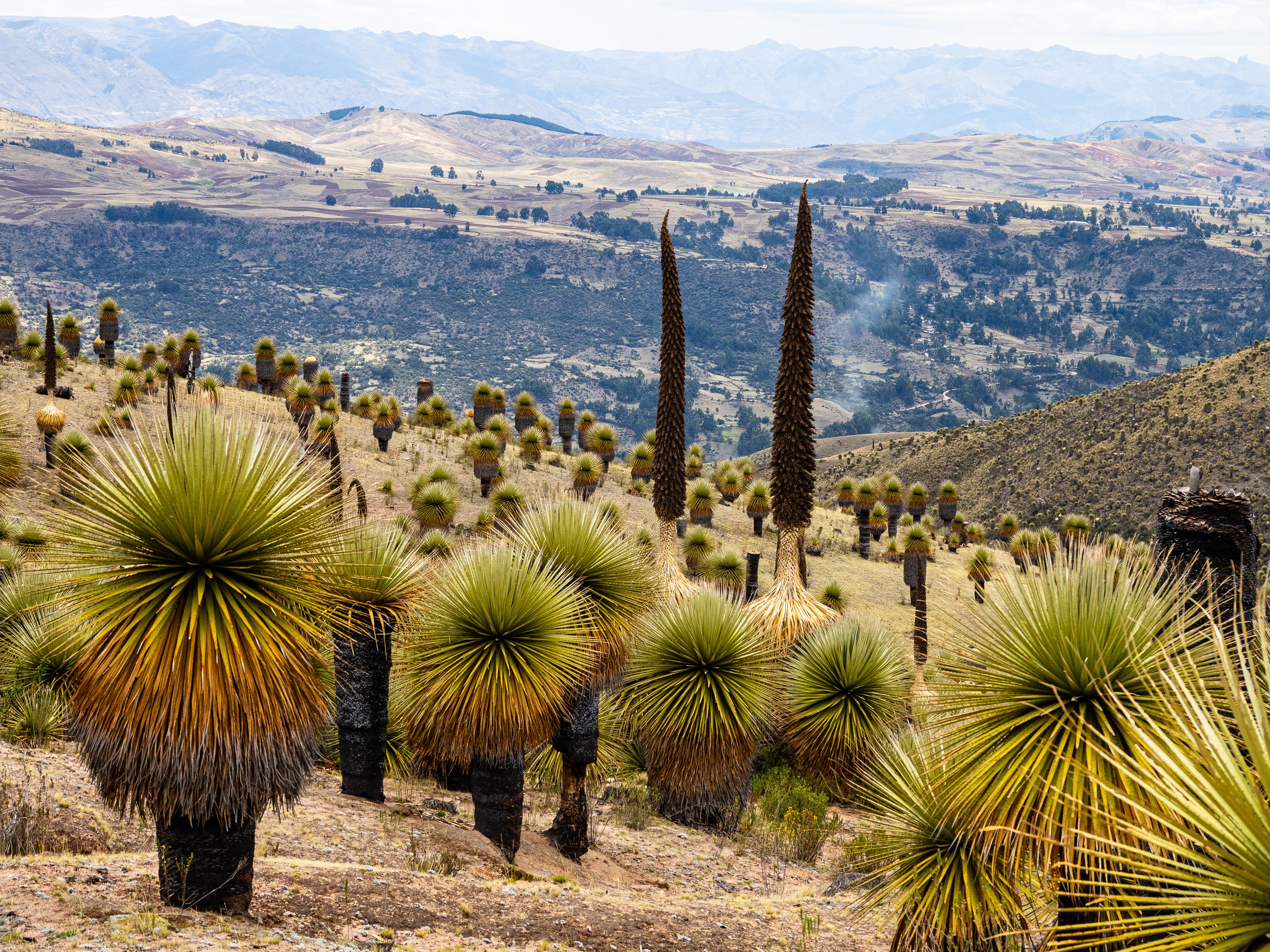
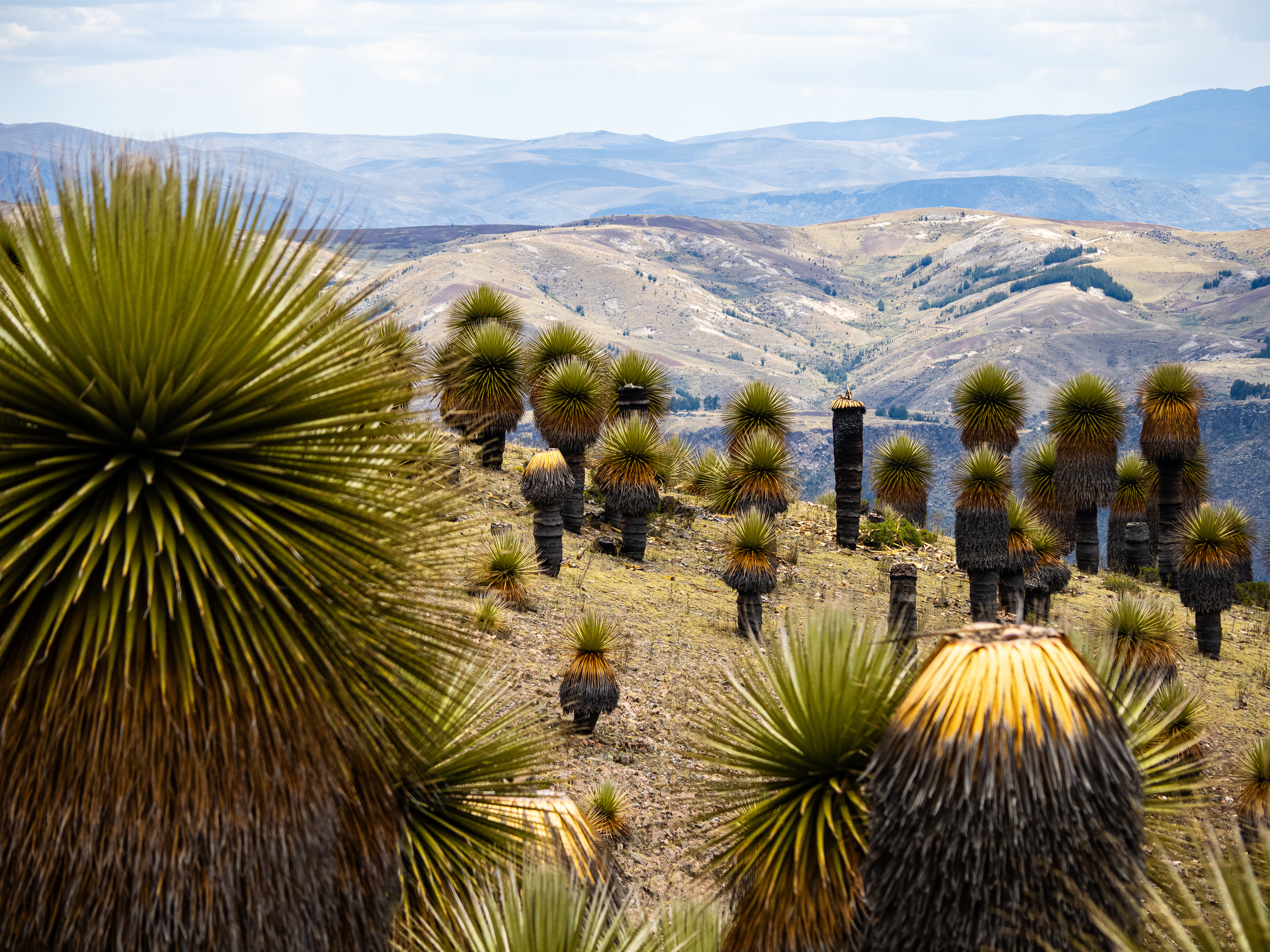
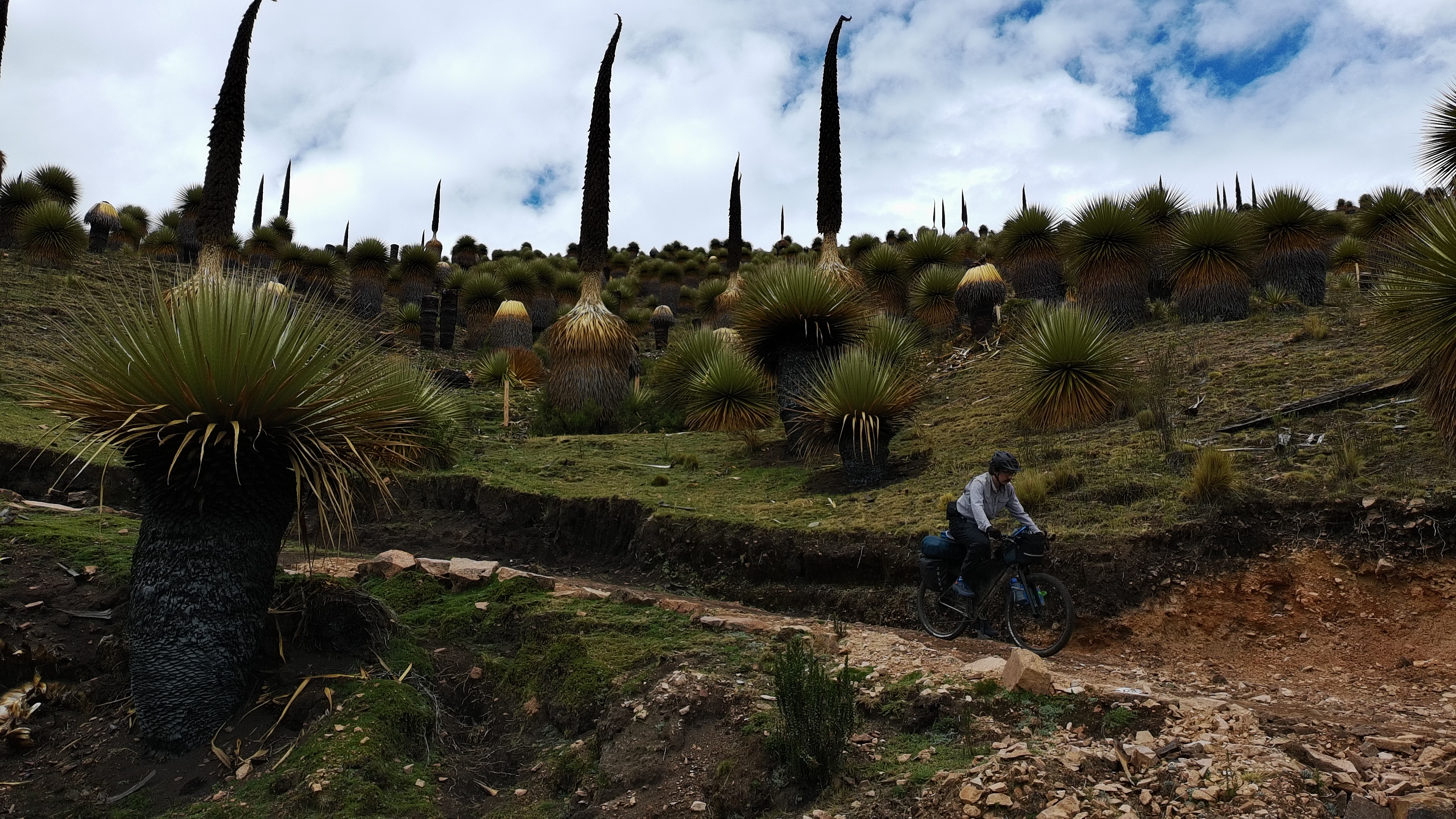
Just outside camp, I was treated to the incredible sight of a group of vicuna silhouetted on a low ridge. I watched as the clouds floated around the herd and then continued onwards. The road followed near the edge of the plateau, affording incredible views when the clouds didn’t interfere. Eventually, I reached the edges of Titancayocc, the world’s largest forest of puya raimondii, which are giant relatives of the pineapple.
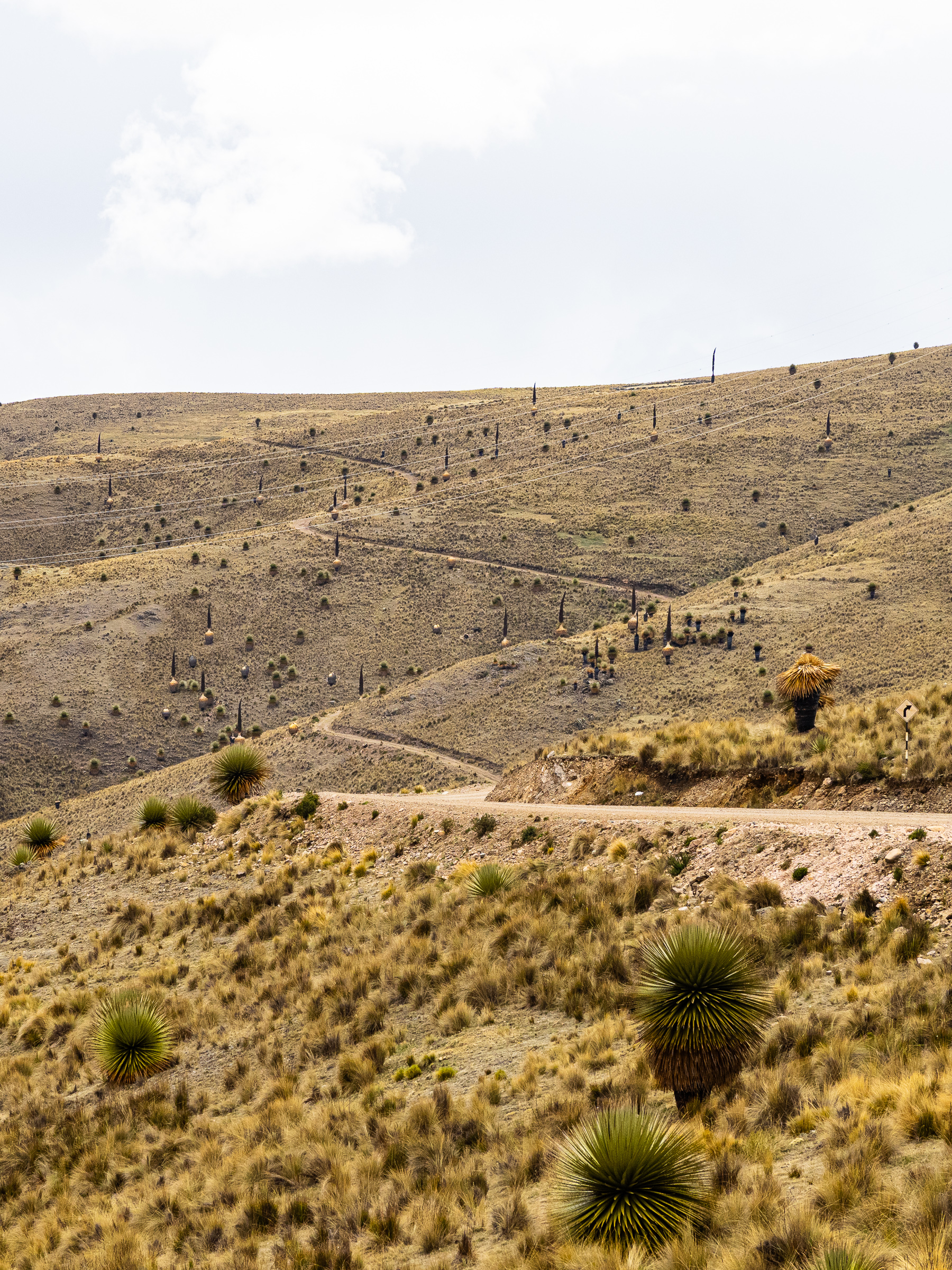

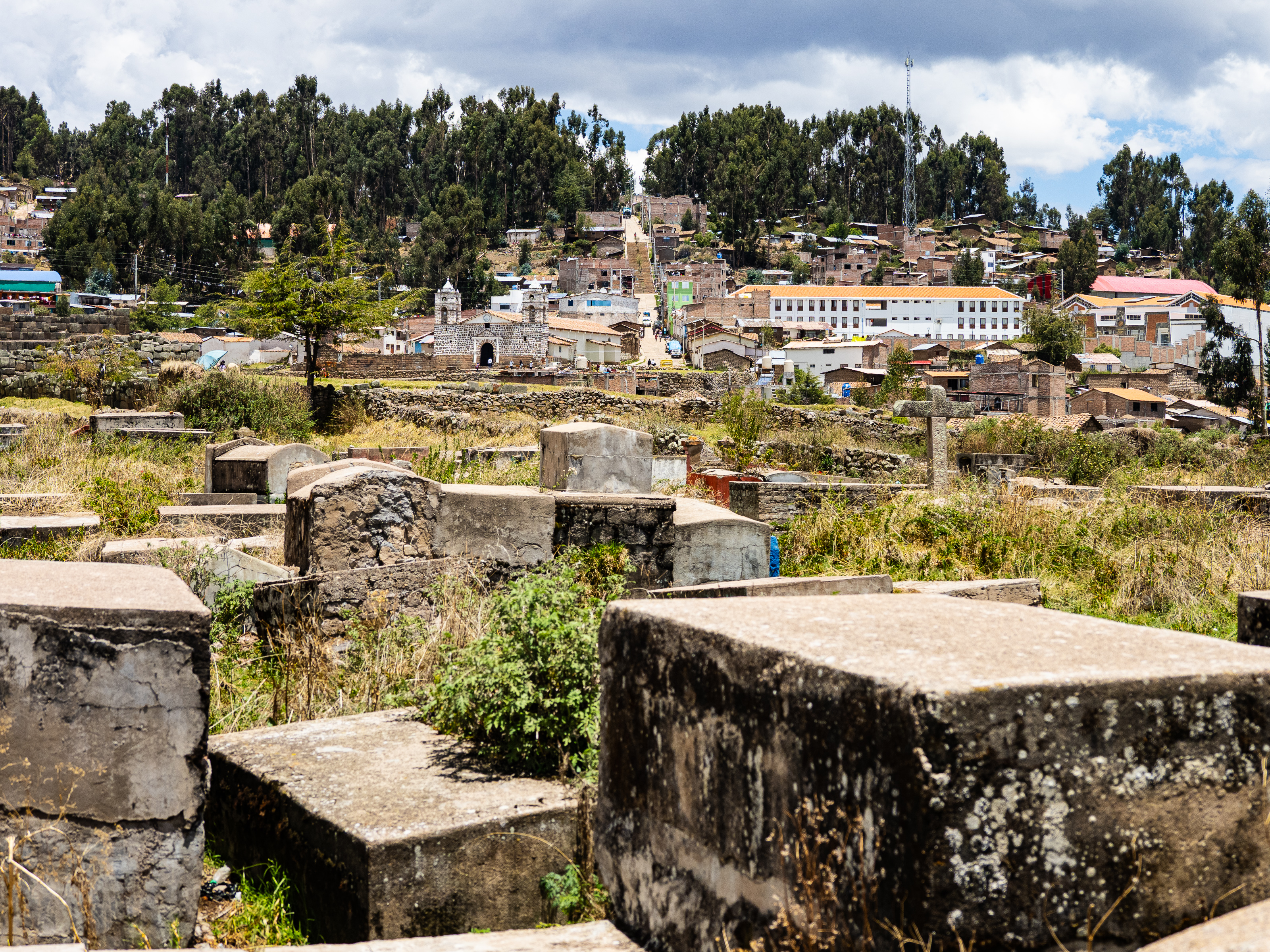
This is where things got tricky. The route I planned was fenced off and the gate was locked. However, I didn’t see any sign prohibiting me from ducking the fence and it was pretty easy to lift up the bottom, so I dragged my bike under it and set off. I made my way along a ridge to a shelter, where I joined a well-graded path. At the bottom, I had to duck under another fence to escape this area. There, I discovered I had just crossed a protected area, and so I shouldn’t have gone through. Still, I was now in the heart of Titancayocc and there was no turning back. I descended through a vast forest of puya raimondii, some standing nearly 10 metres tall. Knowing how slowly these plants grow, I figured some were centuries old. The road was steep and very rough so it was a slow descent. I was also worried about getting in trouble for my trespassing. Fortunately, I didn’t pass anyone on the way down and eventually found myself in the village of Vischongo for lunch.

At lunch, I chatted with some locals who asked me about life in Canada. One was a car mechanic who grew up here but worked in Ayacucho. He was blown away when I told him how much money a mechanic makes in Canada. He was also blown away when I told him how much a meal and an apartment costs. The meal that was costing me about $4 Canadian would cost at least $25 back home, I told him. He couldn’t believe it.
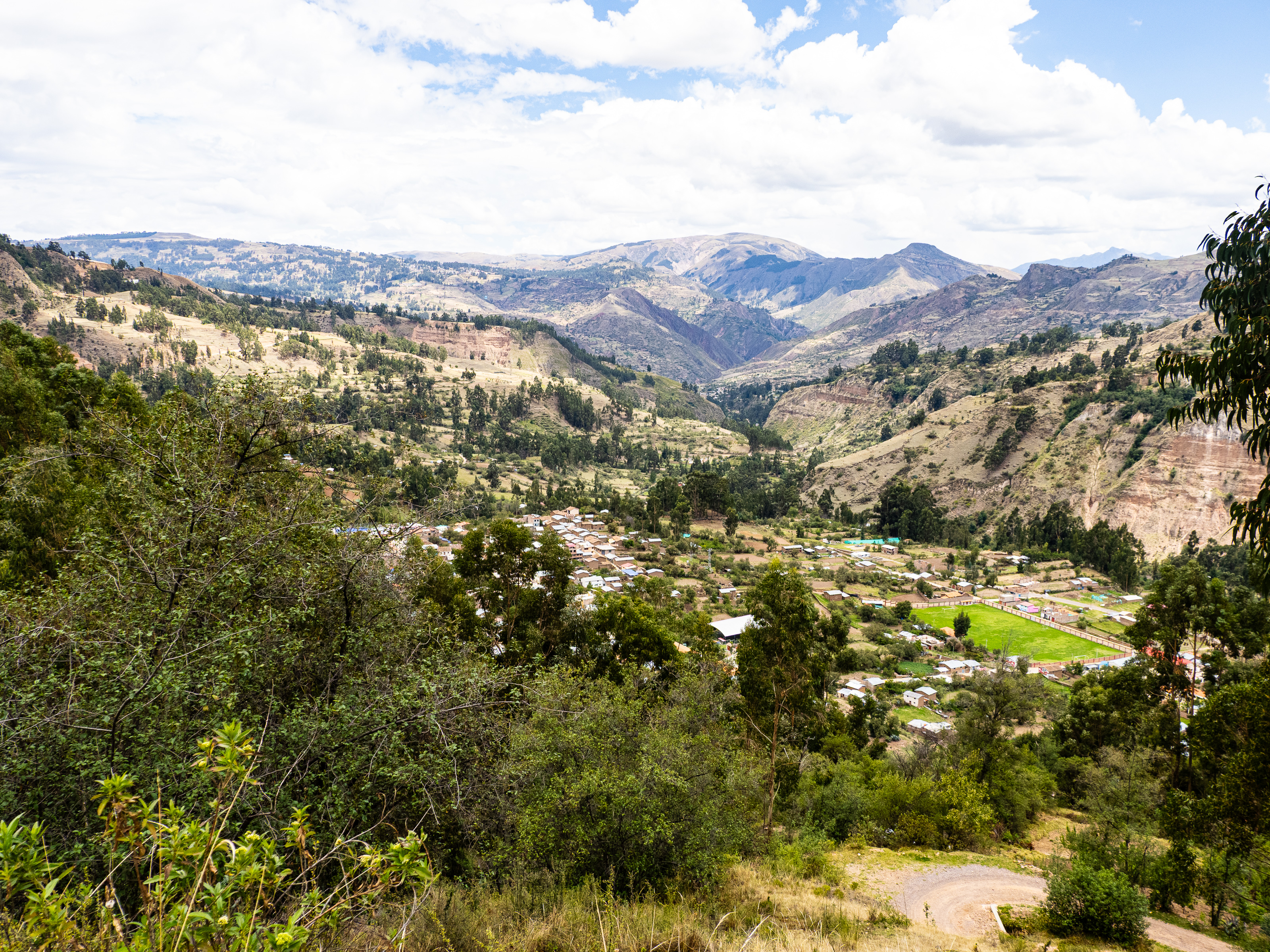
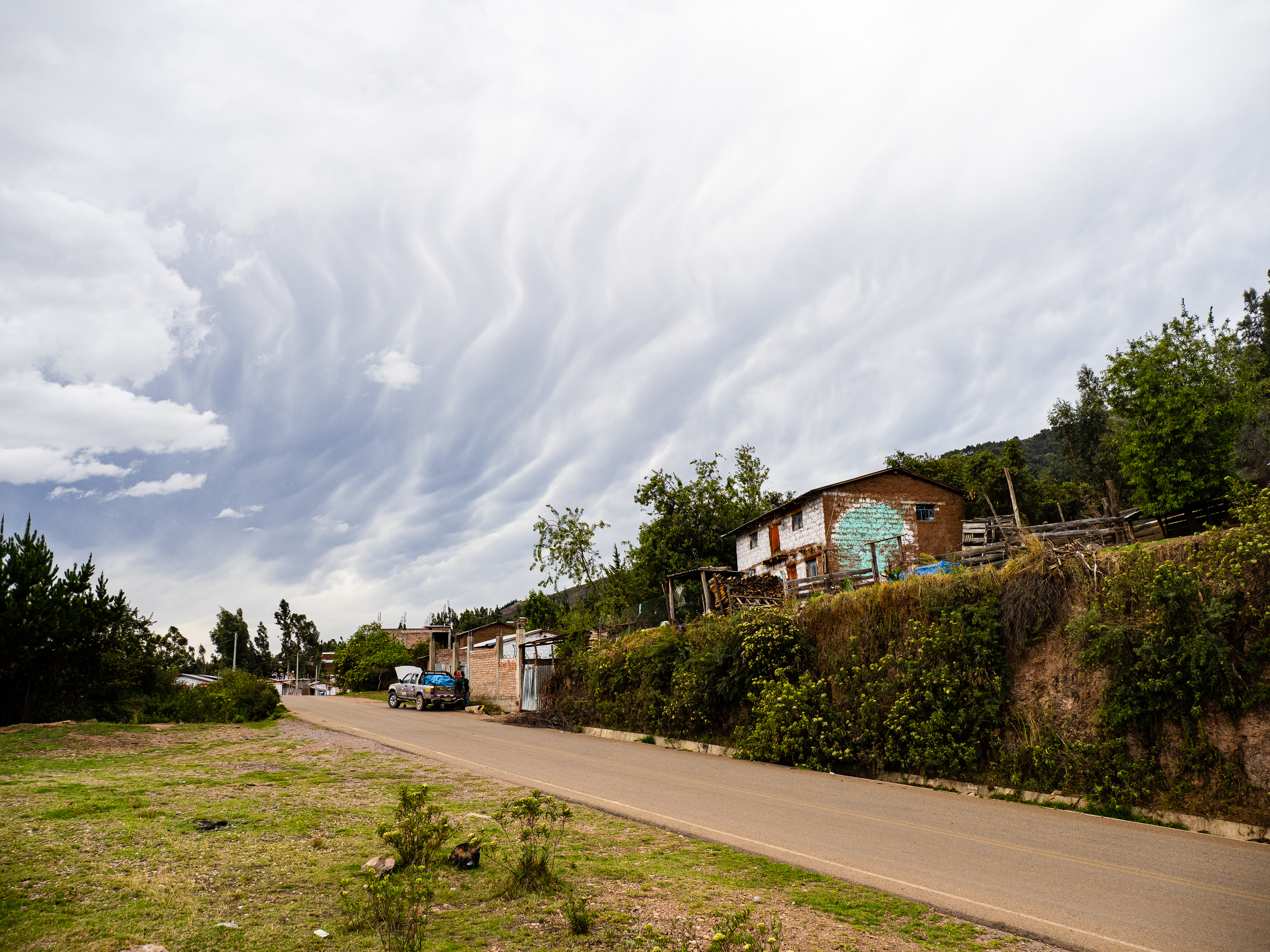
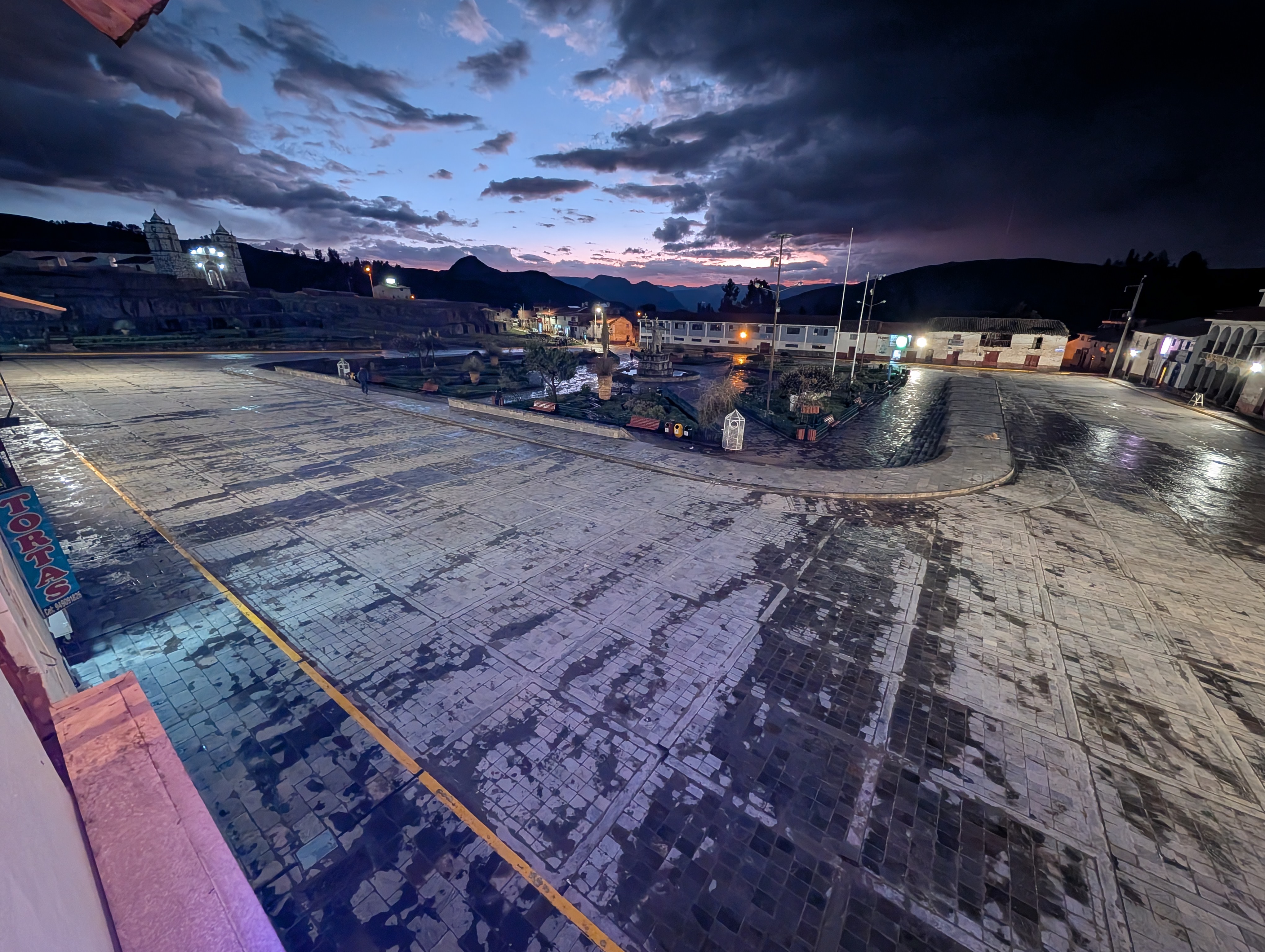
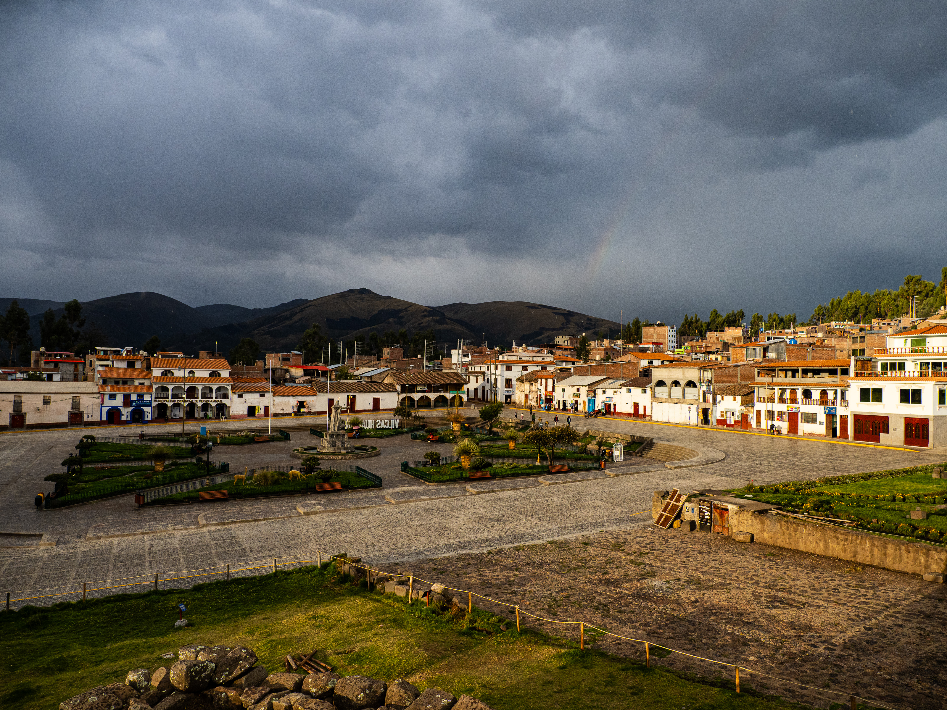
From Vischongo, it was a casual, mostly uphill, 20-kilometre cruise along the highway to Vilcashuaman. As I approached, I could see dark rain clouds gathering. The rain in earnest just as I began the final ascent to town. By the time I got there, it was really starting to pour. I ran into the first hotel I saw and booked a room. It was a little more than I wanted to pay, with the torrential rain and thunder crashing, I didn’t feel like venturing out to look around for a cheaper option. Besides, it had proper hot water, good wifi, free tea and coffee, and included breakfast.

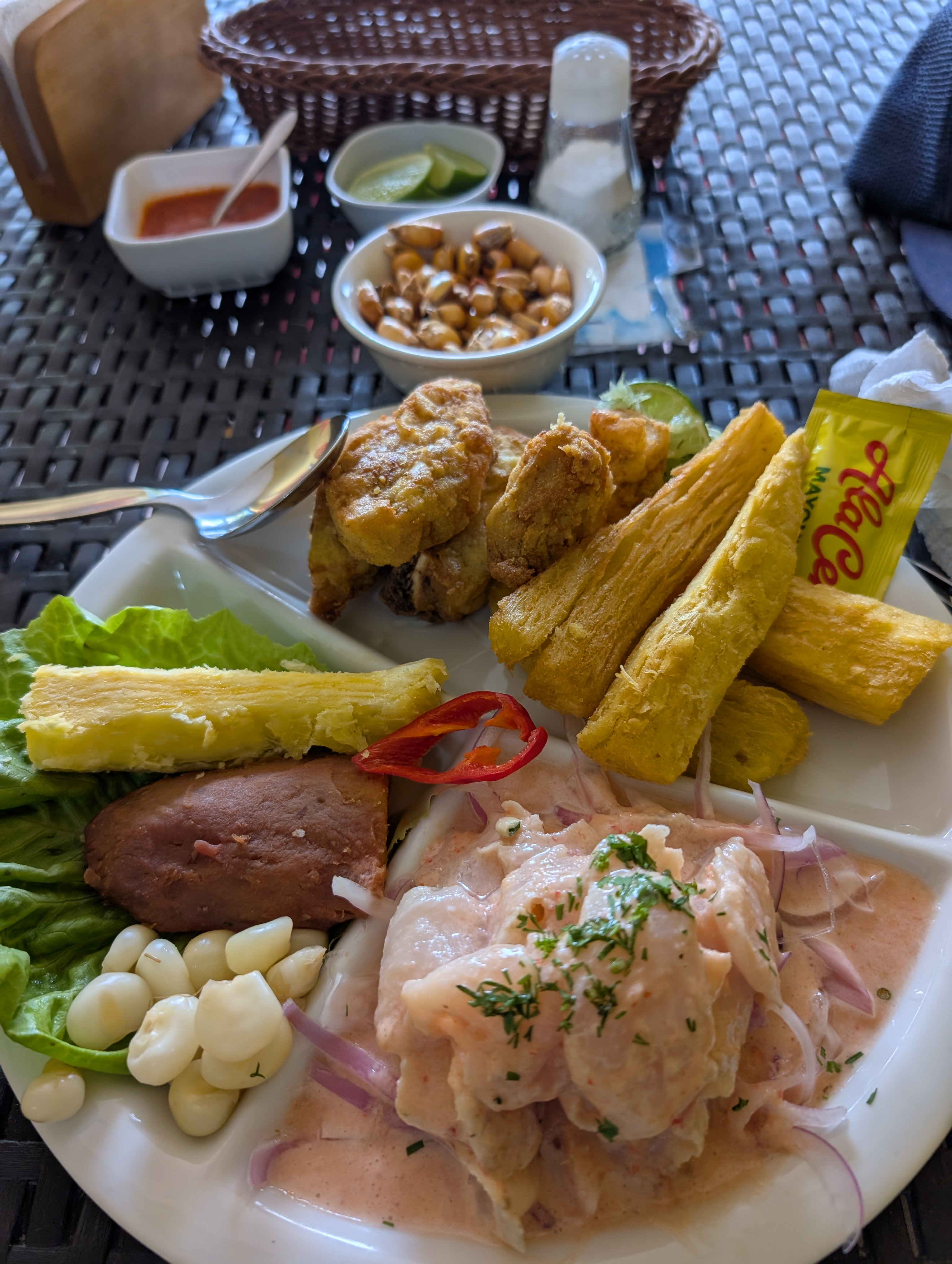
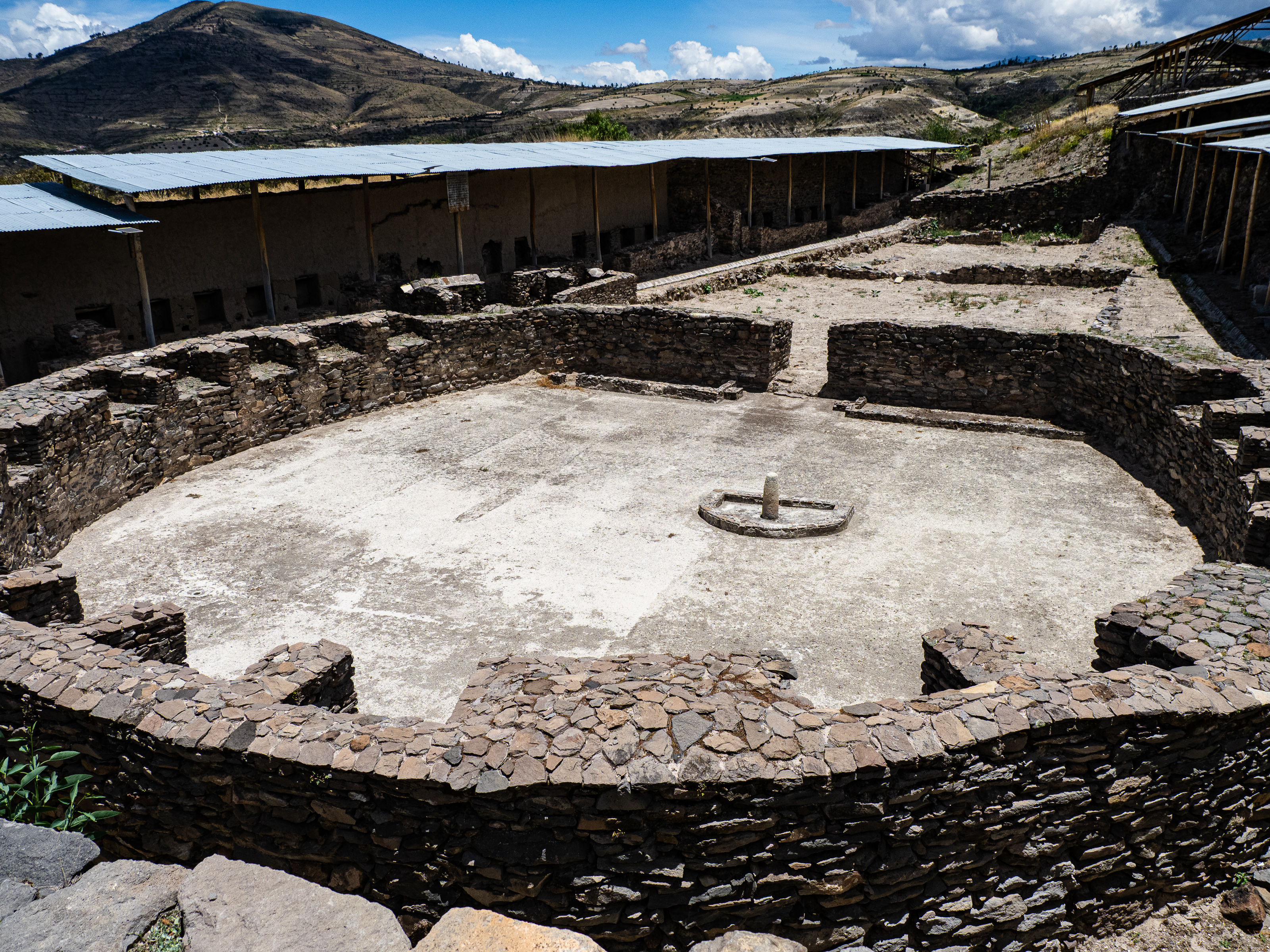
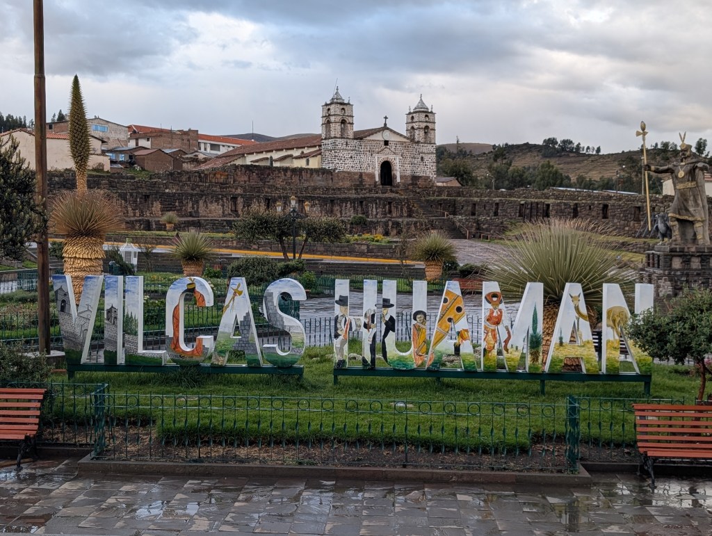
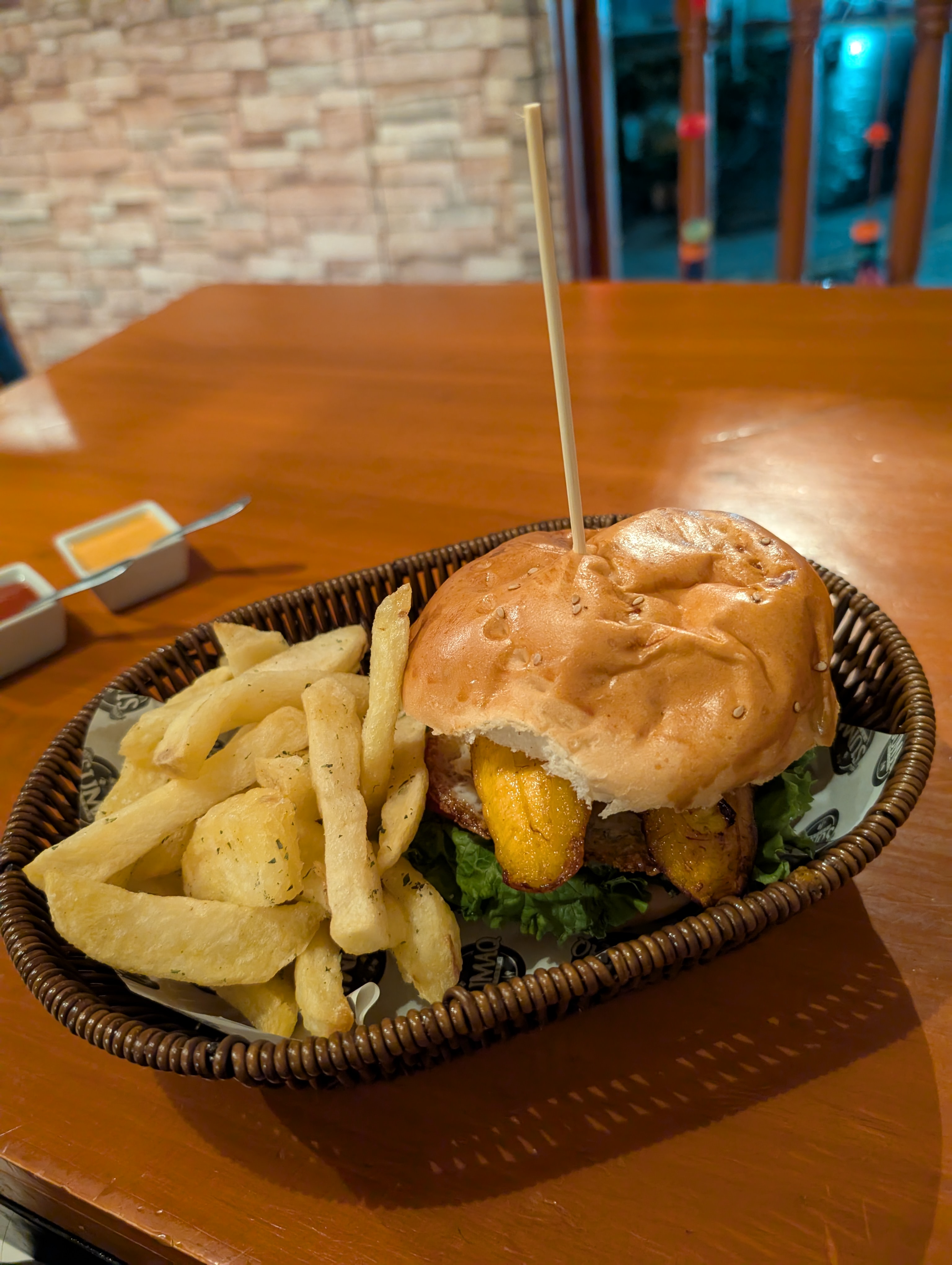
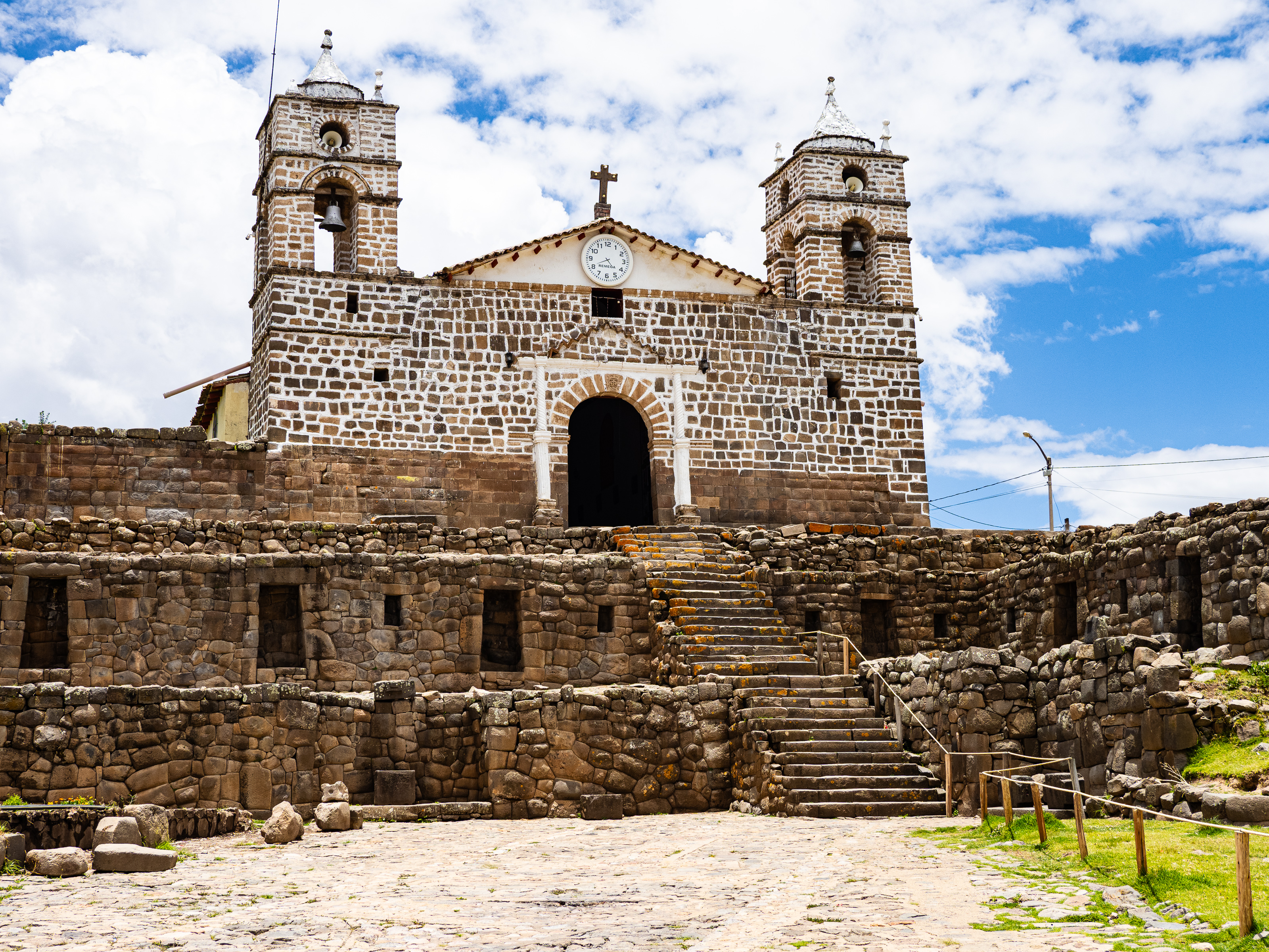
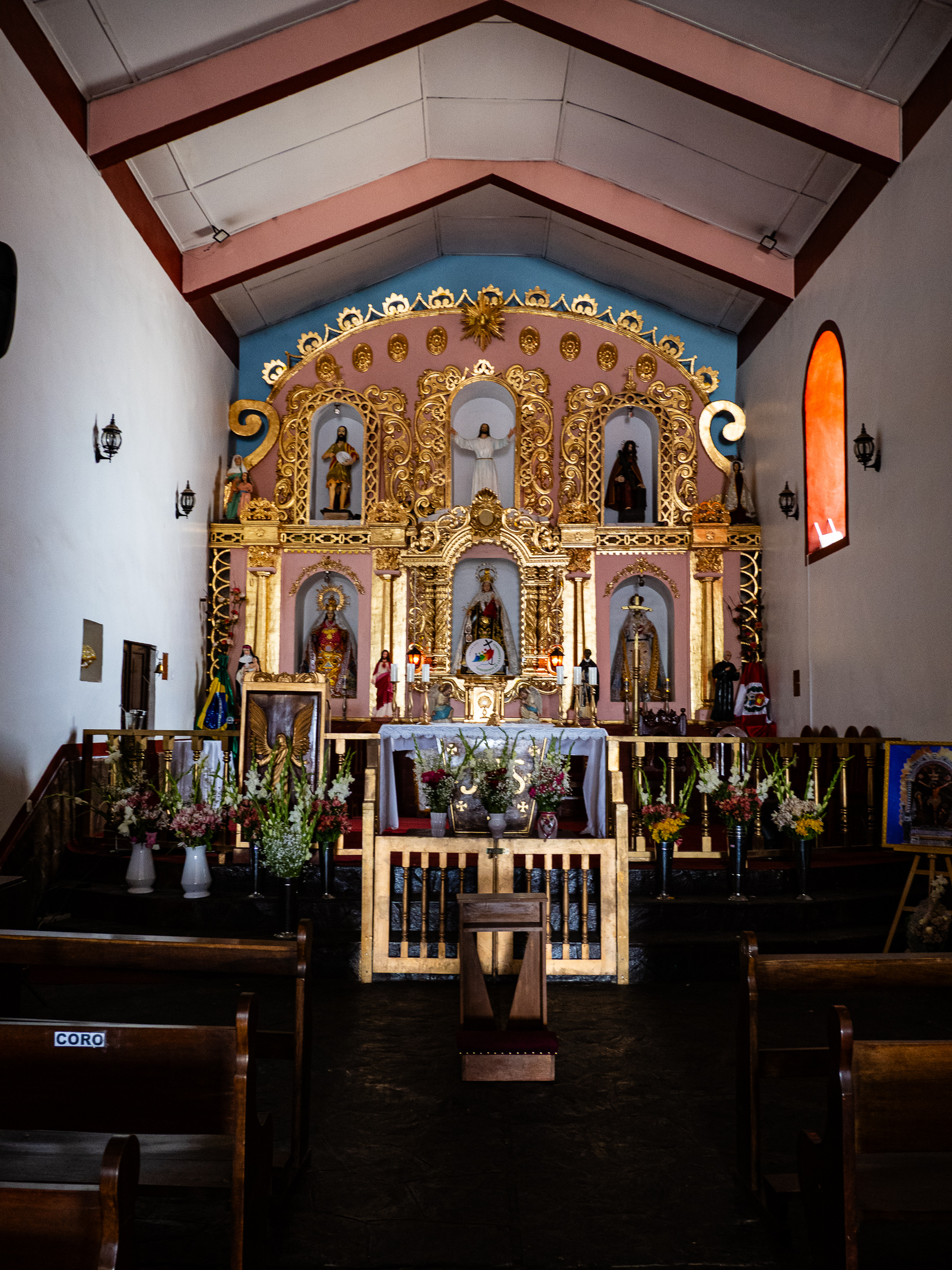
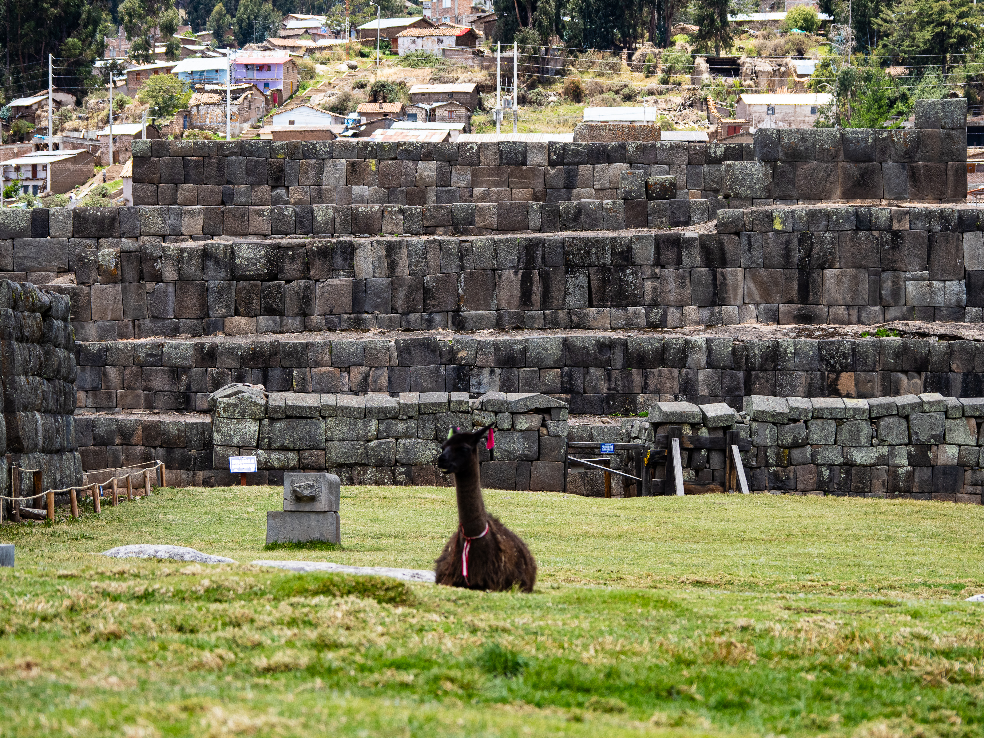
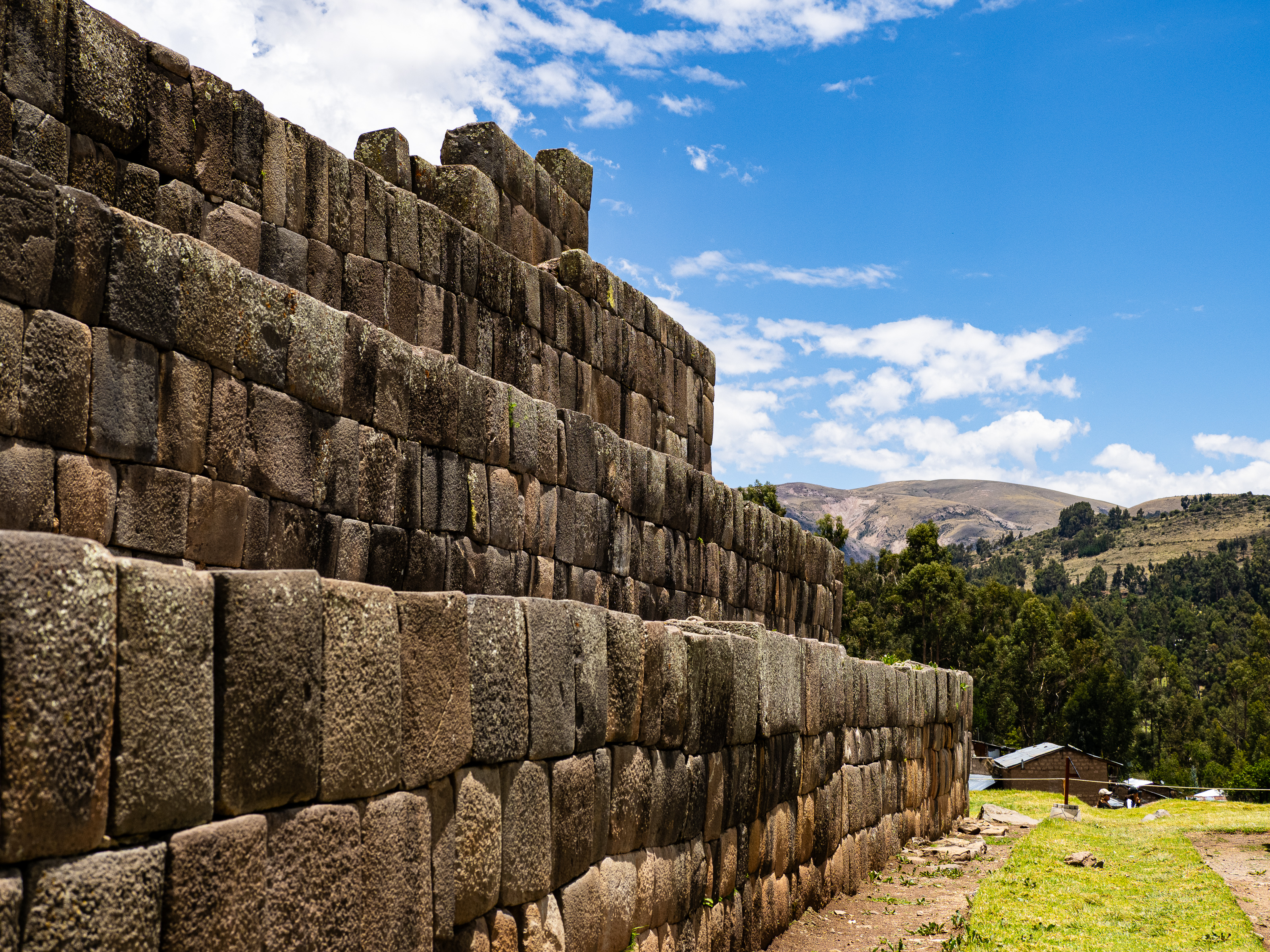
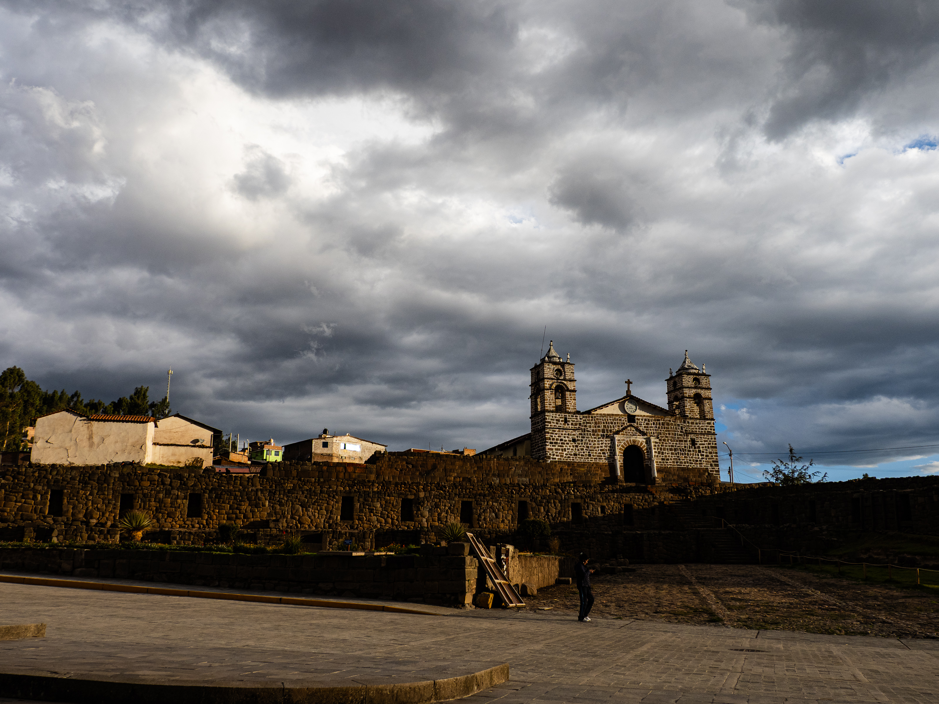
My plan all along was to ride for two days, then take a rest day so I could ease myself into the ride. Vilcashuaman was the regional Incan capital before the Spanish showed up and features some interesting Incan ruins. When the colonizers got here, they built a church on top of the Incan temple – an apt symbol of colonialism if there ever was one. I spent my day off checking out the sights and doing a little work. I found a nice ceviche spot for lunch and enjoyed a burger and chifa for my two dinners. I prepared for my next stretch – a planned six days to the Sondondo Valley.
Check out the route here. Stay tuned for part two.


Leave a comment