I’ve developed a pattern so far on this trip – two days of biking followed by a day of rest. After taking a day off in Villa de Leyva, I hit the road again to make my way to Mongui, with a stop off in Paipa along the way. In travel guides, Mongui is described as the prettiest town in Boyaca province, and there was supposed to be a really great hike in the area, so I decided to add it to the route. Paipa was a convenient rest spot on the way to Mongui – and it had hot springs!
I was a little slow getting out of Hostel Renacer in Villa de Leyva, but I hit the road by nine and began the long, slow climb towards Arcabuco. Unlike two days earlier, the grade was mellow and I was able to get into a groove. Harry Potter & the Philosopher Stone keeping me entertained as I cycled past more small farms, fincas, and haciendas before reaching the top of the 650 metres climb. That was followed by a a fast, fun descent into Arcabuco, where I stopped for a coffee and some snacks.
Looking down towards Arcabuco after cresting the top of a very long climb.
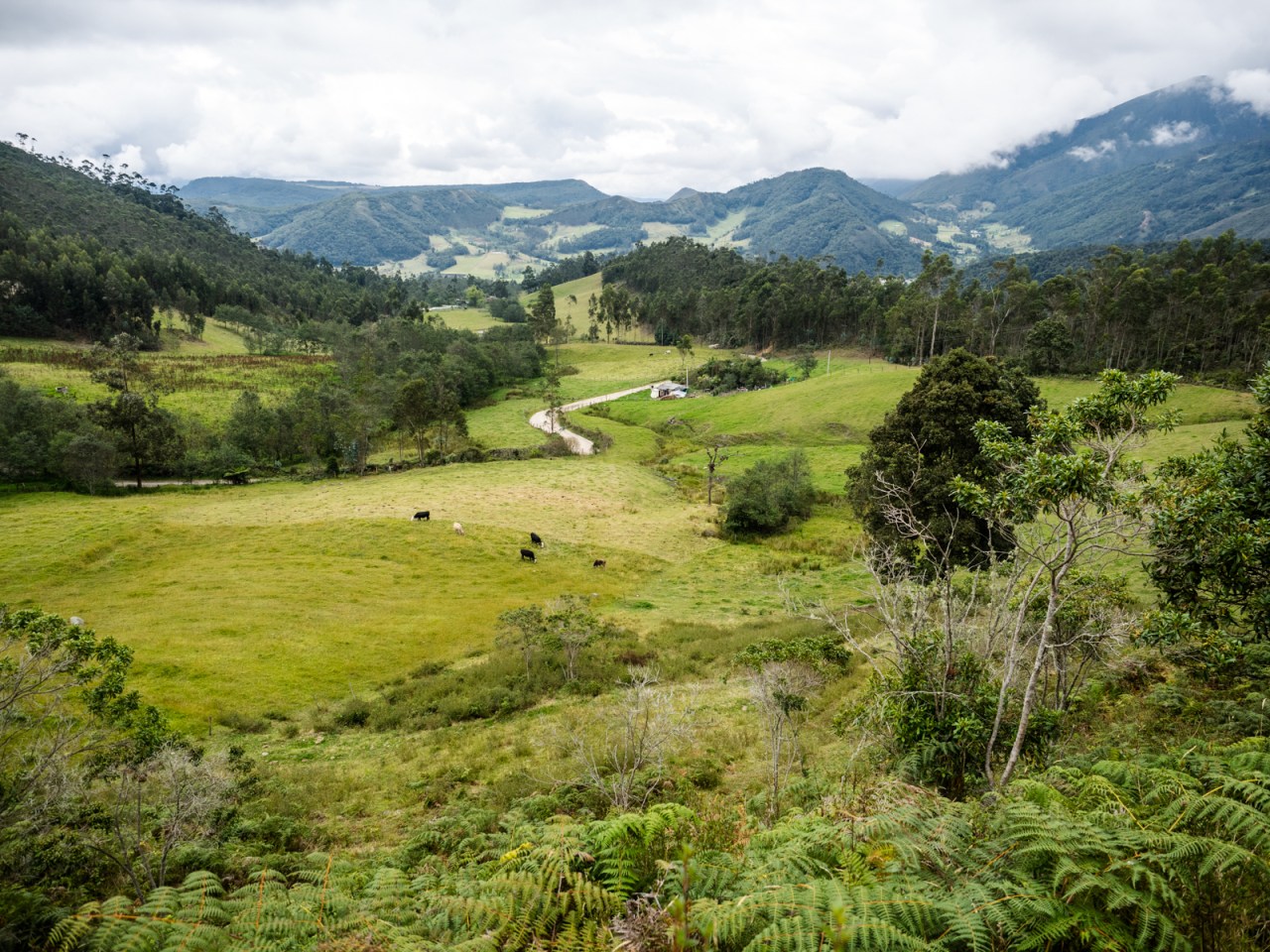
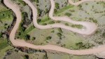
Next was a hazardous stretch of highway through a mountain pass, where I hugged what little shoulder there was as trucks roared past. It lasted for only 7.5 kilometres before I was able to turn off onto a beautiful dirt road that took me through miles of farmland that hugged the slopes off the mountains I’d just rode through. I climbed steadily before the road fell away to the quaint little town of Sotaquira. I enjoyed a late lunch and when I stepped outside, the skies opened up and I was forced to huddle under an awning by the main square while waiting for it to stop. After a while, I pulled out my rain gear, but just after I got it on it stopped raining, of course.
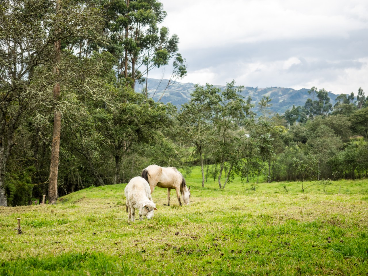
Animals that graze together, stay together.

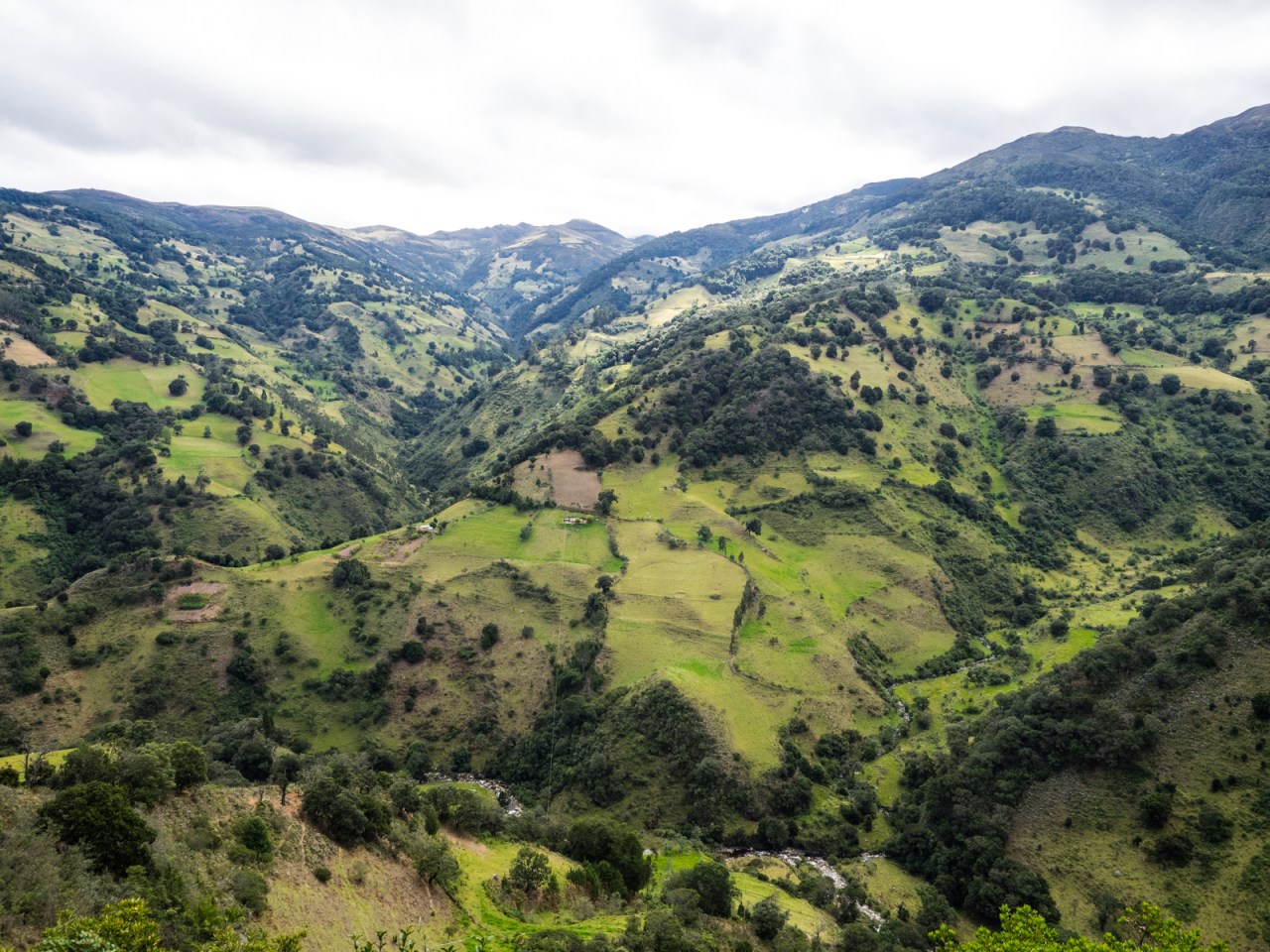
Beautiful dirt roads on the way to Sotaquira.

Waiting out the rain in Sotaquira.

The rain brought freshness to the land.

After the rain.
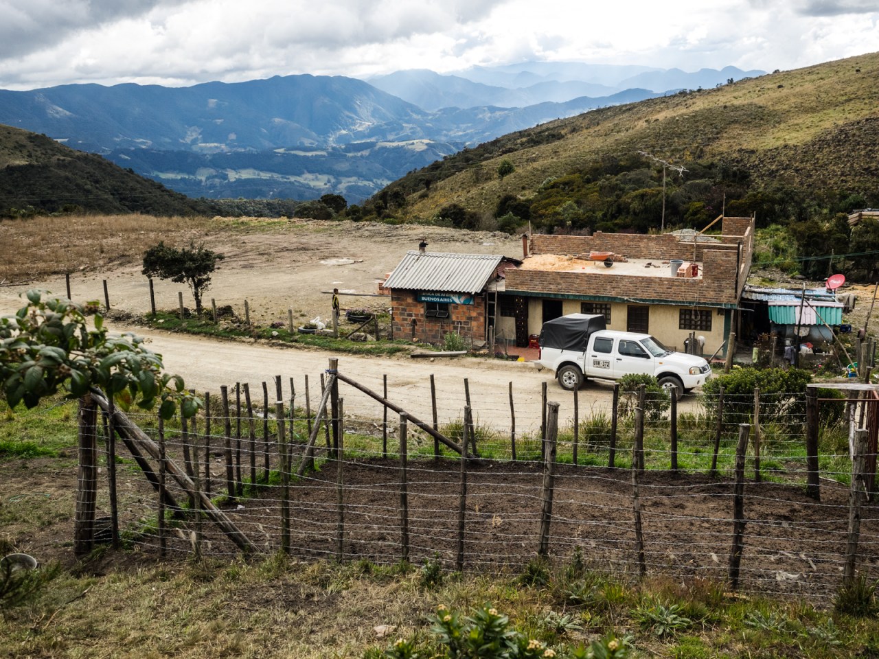
The rain added a rich contrast to the scenery, with the fields even green, the mountains darker and the sky bluer than before. From Sotaquira it was up and down and up and down until I was spit out on onto the main four-lane highway through this part of Colombia. There was a nice wide shoulder and I was able to cruise into Paipa, where I went straight to the public hot springs in the hopes of finding a campsite.
Disappointingly, there wasn’t, and I was sent back towards town to Cabanas Guacata, where I was allowed to pitch my tent on the lawn for a few dollars. I was their only guest and their resident dog kept me up at night, barking and snarling outside my tent – South American dogs don’t seem to care for bike tourers. Before that, I enjoyed a soak in the hot springs, where several Colombian men took great interest in my journey and debated the best way to get from San Gil to Medellin. I didn’t mention I was planning on taking a little-use back road.
After a terrible night sleep, I booked myself a place to stay in Mongui for two nights. It was only about 50 kilometres away, with 1,300 metres of climbing according to the computer. However, the two main climbs turned out to be the steepest so far and the first descent into Tibasosa had me squeezing the brakes as hard as I could, lest I miss a corner – an 80+ pound touring rig isn’t exactly a nimble beast. On the second climb of the day out of Sogamoso, I rode through mining territory and big coal trucks rumbled past with regularity.
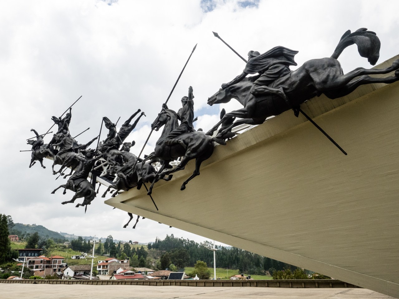
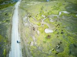
The Pantano de Vargas, a huge monument to one of the key battles that led to Colombian independence in 1819.

Pantano de Vargas.

Tibasosa – where there’s separate bins for garbage, recycling and organics in the town square.

Mines on the way out of Sogamoso.
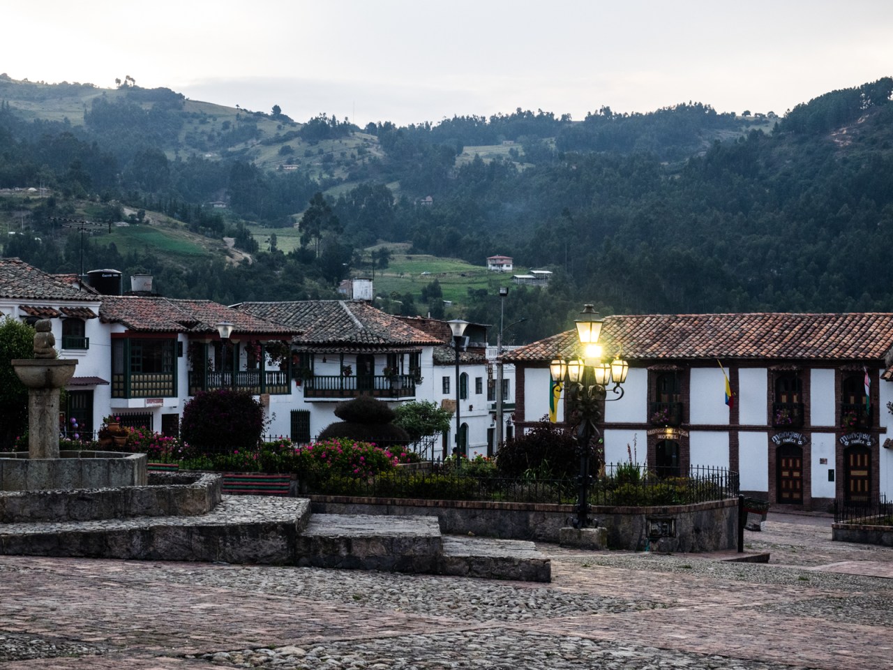
Mongui lived up to its reputation as the prettiest village in the region and I happily settled into my double bed at the Hospedaje Villa De Mongui. I booked a hike in the Paramo Oceta and hit the hay early.
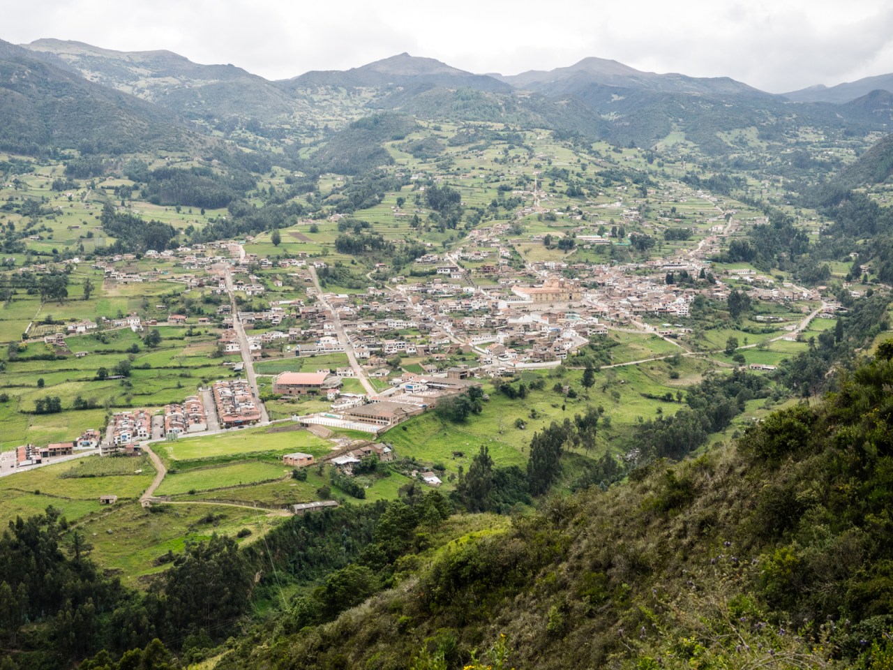
Looking down at Mongui.
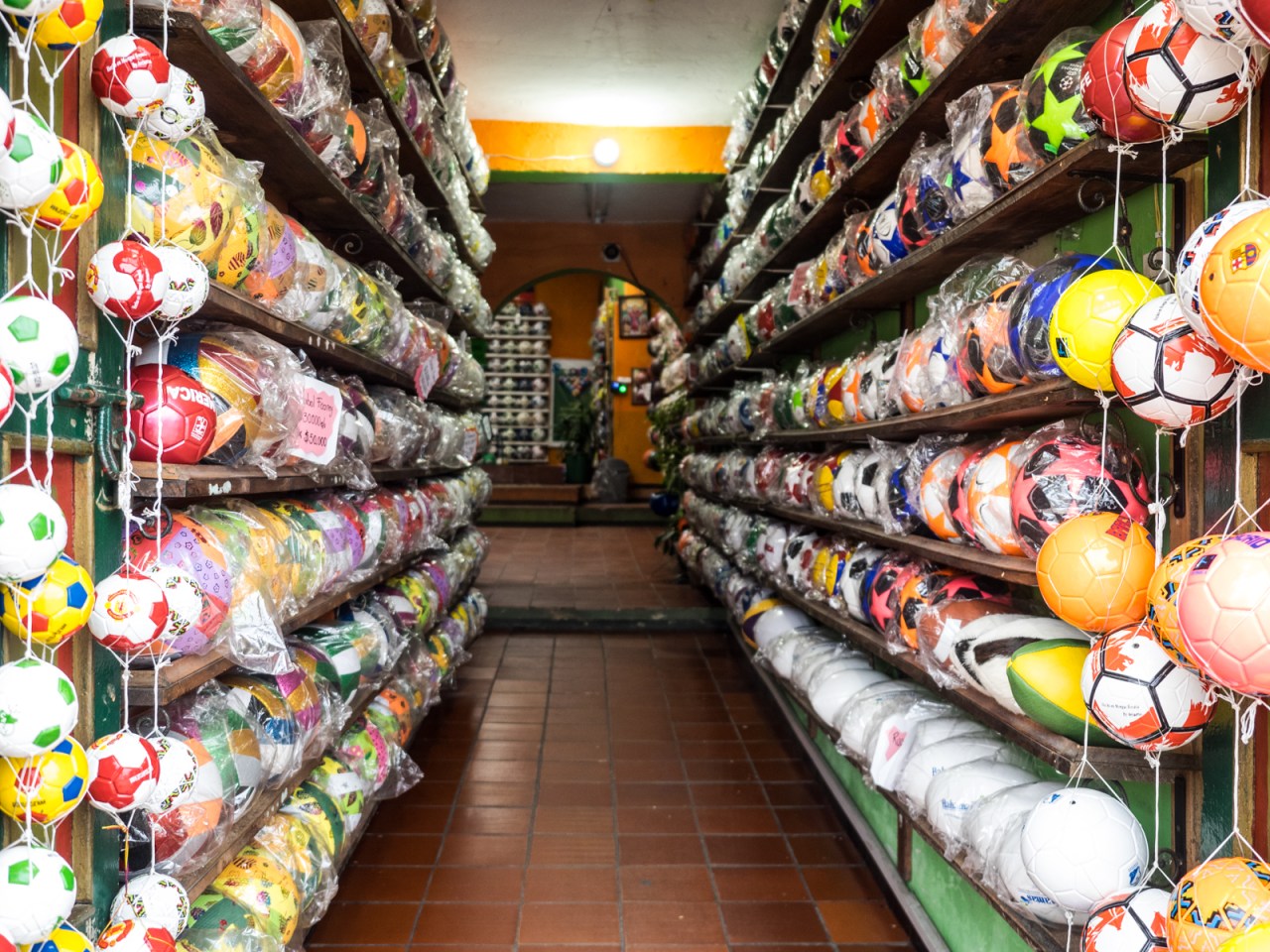
On top of its beautifully preserved heritage, Mongui is also known for making soccer balls.

The historic bridge into Mongui.
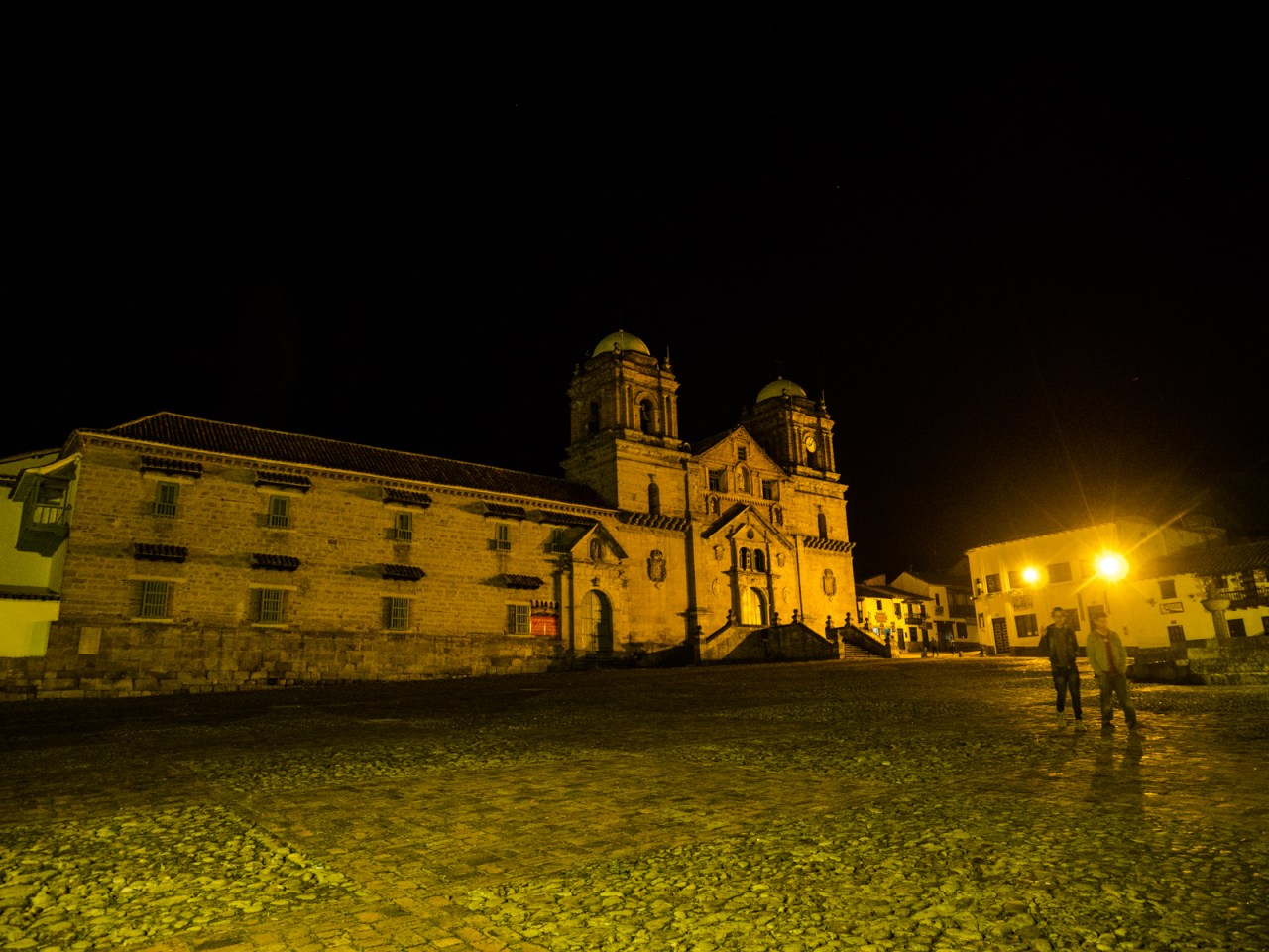
Mongui’s church and town square.
It wouldn’t surprise me if Mongui became a backpacker hot spot soon.
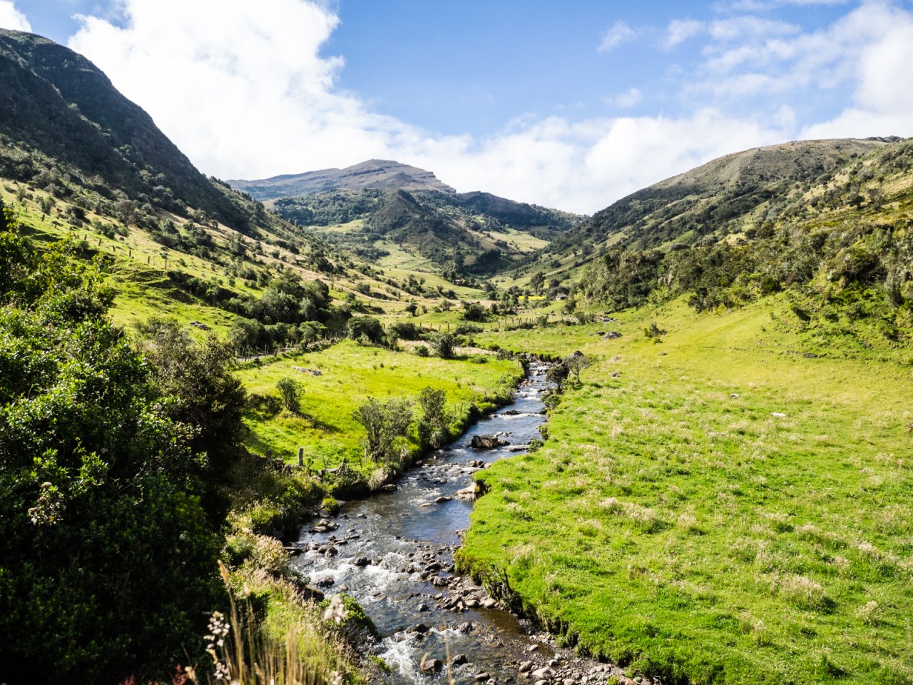
For the hike, I was joined by a group of nine Europeans who were staying at a nearby finca, and our guides Maria and Moses. The hike through the Paramo Oceta was stunning, starting at the headwaters of the local river, where a few hardy farmers tended to cattle that roamed the mountainsides.
The paramo is an ecosystem that only exists in high elevation landscapes near the equator, and they are generally protected in Colombia, or so it seems. The plants, notably the frailejones, store water and they play a key role in keeping the country hydrated. We walked through forests of frailejones and other plants I’d never seen before. Giant lupines grew out of swampy areas, their purple standing out in a sea of green, brown and yellow. Our guides led us down soggy paths to the Laguna Negra and back. We hiked up to a ridgeline at 4,000 metres before following the steep path back to our start point. It truly was a unique area unlike anything I’d seen before.
The hike started in high-elevation farmland at 3,500m asl.

Surprisingly, there were cows grazing up here.
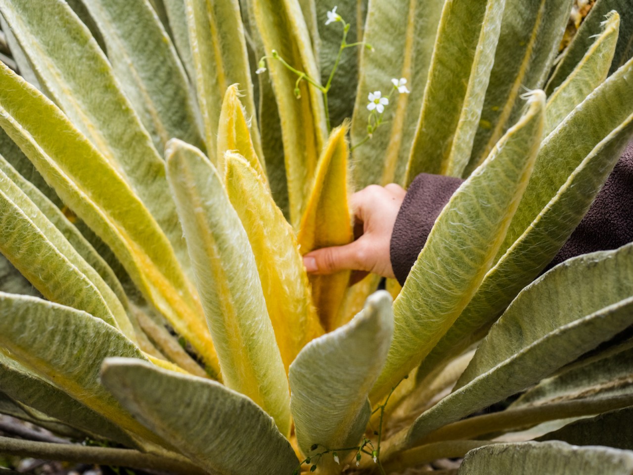
The softest flowers in the world.

These yellow flowers were like mini sunflowers.

Frailejones grow only one centimetre per year, but they’re capable of storing water, making them an important reservoir for Colombia.

Hiking through fields of frallejones.
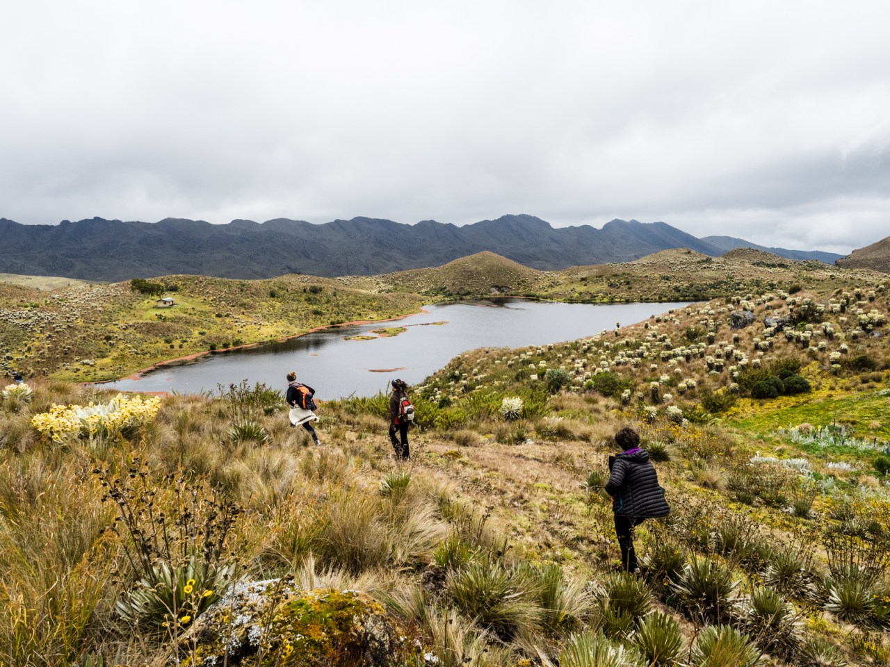
Nearing Laguna Negra.

Obligatory group photo.

The view from the top of the paramo.

Our guide Maria Soto inside a small slot canyon that was an ancient Muisca burial site. The Spanish pillaged the graves of the indigenous people in search of gold.
The next morning I set off on the 160 kilometre road to San Gil. My route would take me up to over 3,800 metres before dropping all the way down to San Gil at 1,100 metres. My goal was to tackle the climb on day one, and the descent on day two. First, I had to get to Duitama, which involved riding on a busy highway where I inhaled the black smoke of passing cars, trucks, buses, and motorcycles. I couldn’t wait to get off the main road and back onto dirt.

At least I know I’m going the right way.
The climb out of Duitama was filled with cyclists out for their Saturday exercise. At the end of the pavement, I stopped at a tienda for a snack and spoke to a local cyclist who was blown away by what I was doing. He called me brave, most think I’m crazy.
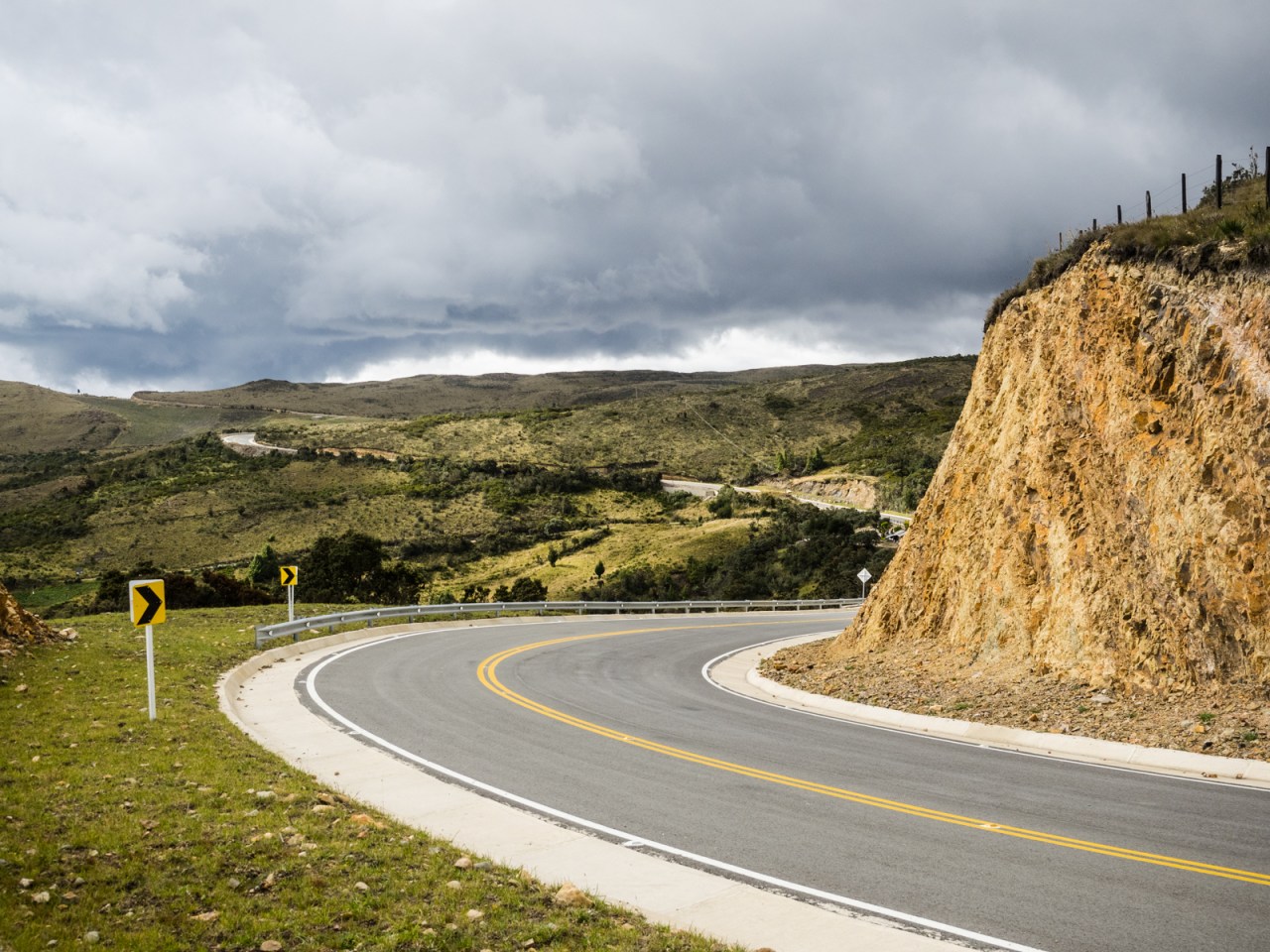
The road turned to dirt for a period and I was all ready for a slow climb to the Paramo Ruisa. What I’d seen earlier on Google Street View (technology makes route planning easy these days) showed a rough surface all the way to the pass, so it was a nice surprise when fresh pavement showed up and led me to the top. It was incredibly peaceful without the crunch of rock under my tires and there was almost no traffic. I love riding on dirt roads, but there is something to be said for a quiet paved road. I took one break on the climb, where a cute little dog took take a nap next to me. The pup joined me for the rest of the climb until I sped away on a short downhill. I’ve grown terrified of Colombian dogs, but this one was a keeper.
That’s some smooth tarmac. The lack of traffic was serene.
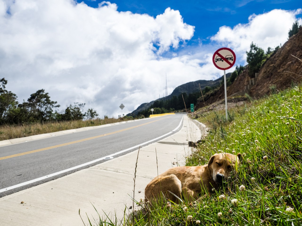
This guy decided to take a nap when I stopped for a rest. He then followed me until the first bit of downhill, where I unfortunately lost him.
It took a while, but I finally reached the turnoff to Paramo Ruisa, where there was a convenience store selling arepas and drinks. I continued the climb and probably could have kept going to the pass, but the perfect campsite presented itself, so I stopped early, cooked dinner, and watched the sunset over a field of majestic frailejones. Sleep was interrupted by a blustery wind.
The most convenient store.

A rare wild campsite in Colombia.
Sunday consisted of a short climb to the top of the paramo, then an endless, jarring descent past countless farms on a rough road where horses were more common than vehicles. I got a flat and after it wouldn’t seal itself, I stopped to put in a tube. I kept going down and down, with a few short bursts of climbing interrupting the flow. I roared through the village of Encino, where the locals were drinking away their Sunday by. There was a flash of pavement and more dirt before I was finally spit out into the valley and the paved cruise to San Gil. I had a quick lunch in Charala before charging out the last 35 kilometres in the pouring rain that nearly flooded the highway into San Gil. I was soaked and neglected to take pictures of motorcyclists easing their way through waves of water in front of me.
Horses are more common than cars in this country.
Today was spent dealing with a few bike issues and checking out San Gil. I’m meeting my brother in Medellin next weekend, so I’m no real rush to get out of here and will spend a few days checking out the sites and activities.
The GPS track for this route can be found here: https://ridewithgps.com/trips/20078784

San Gil’s square came alive after Sunday night church let out.

The San Gil market.

Baaa! I really want to cross this bridge.
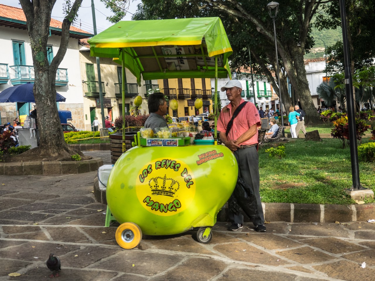
I checked it out – the guy cuts a good mango.

The streets of San Gil.

In San Gil, there’s a pedestrian bridge over the river that leads to a shopping mall. For some reason, people have taken to placing locks along the bridge, often with little messages written on them.
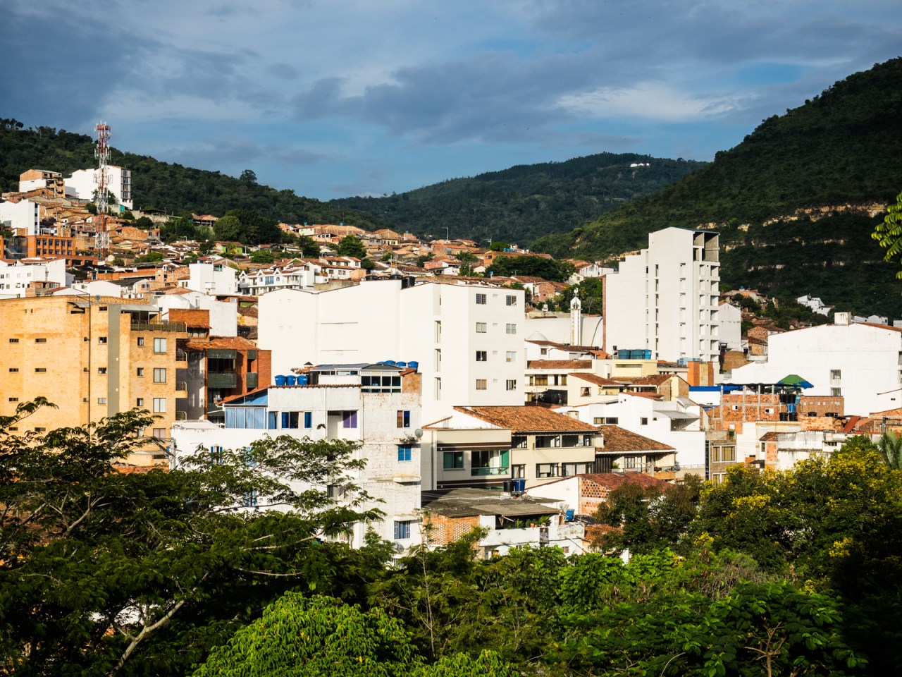
San Gil.

An eagle waits for children to leave Happyland Park.


1 comment ›