Denver to Breckenridge, Days 1-4

In mid-September, I set out to ride the Colorado Trail with my friends Russ and Dru. It’s almost 870 km long, with over 22,000m in climbing. To quote Bikepacking.com, “The Colorado Trail is one of the longest, more arduous, yet most rewarding bikepacking routes in the US.” I was excited, but also nervous. I have done challenging routes before, but never with so much single-track, and not with a fixed timeline.
The Colorado Trail (the CT) was Russ’ idea. He wanted to do something big for his 40th birthday and I was the only one of his core adventure friends who could commit to the trip. At some point over the summer, I told Dru about the trip. Since he was also planning a trip around then, he asked if he could join. That made us three.
I had good intentions on getting in great shape for this trip, but they never panned out. I put myself through a few sufferfests over the summer, but didn’t do any consistent training or back-to-back long days. I did one 130 km gravel ride (woth 3,000 m of climbing), The Full Teriyaki, and a three-day bikepacking trip towing my 60-pound dog Briggs most of the way. Russ and I went on a shakedown ride on Silver Cup ridge in mid-August, which was a good opportunity to strap gear to the bikes and practice pushing them through the mountains, but it was only 70 km total, which is about what we’d have to do in a single day on the CT.

Our aspirational goal was to ride the CT in 12 days, which would mean averaging 72 km and 1,800 m of climbing per day. Those were basically the stats of the Full Teriyaki, the longest mountain bike ride I did all summer, and the thought of doing that every day for 12 days with a loaded bike was daunting, to say the least. Our limit was 14 days, which was still 62km and 1,575m of climbing per day. My hope was that I could survive the first few days and get in shape as I went.
We set out to Colorado on Friday, September 8. We camped in northern Montana the first night and south of Moab the second night, reaching Durango Sunday morning. We dropped off our extra gear at my brother’s friends house, picked up our one-way rental car from the airport, and made our way to Denver. We spent the night at the Marriott Towneplace Suites in Littleton (highly recommended as a starting point) and set of Monday morning after returning the rental vehicle.


Day 1
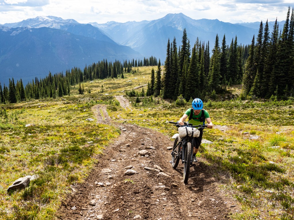
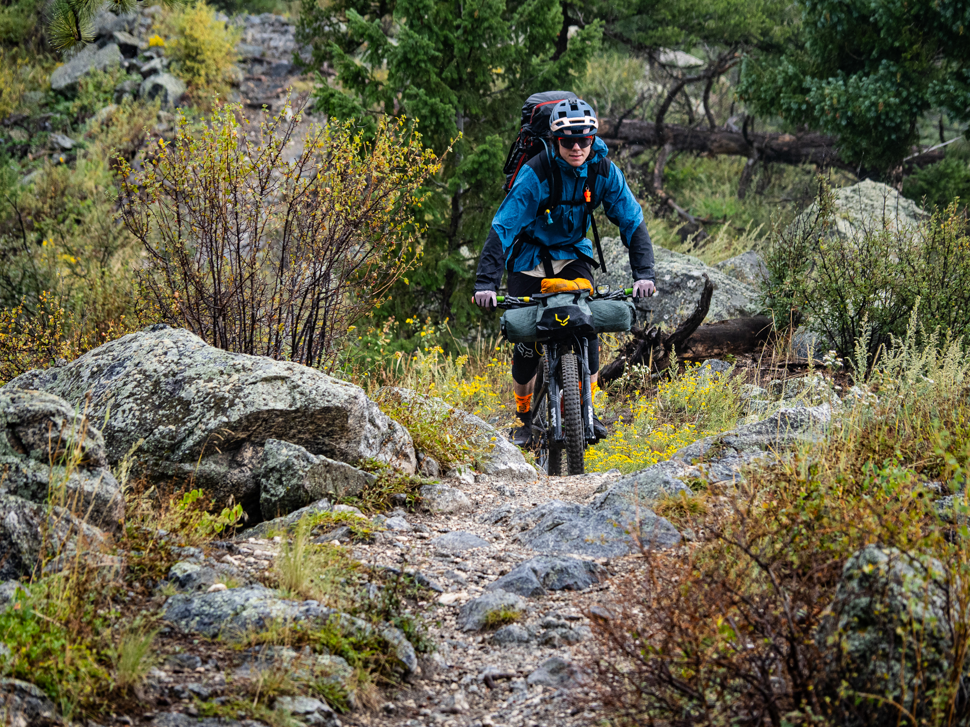
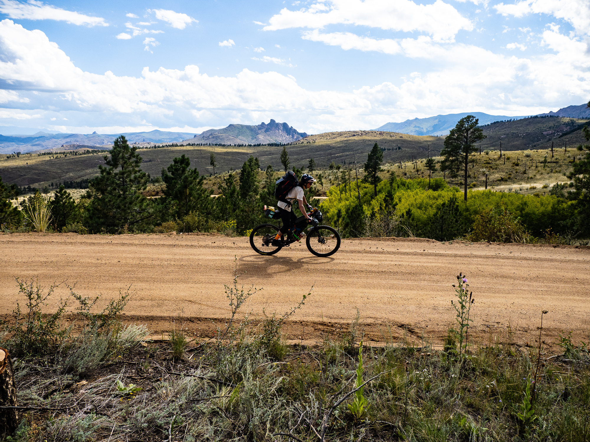
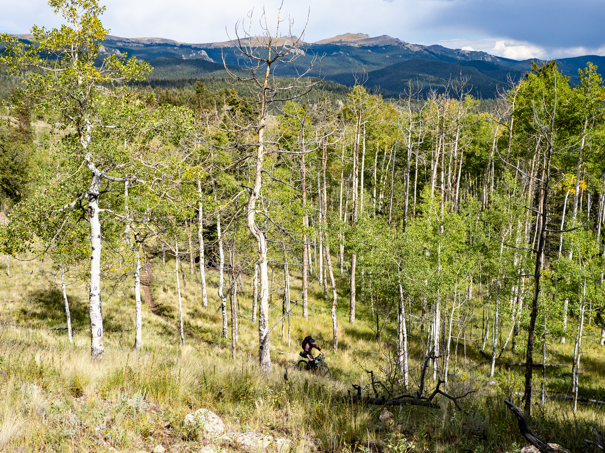
We began our trip with some single track through some hayfields starting almost from the hotel door. This took us through a small sub-division, then onto a double-track alongside the highway and onwards to Water Canyon, the official start of the trail. We made a few bike adjustments, then began the cruise up the canyon. The gradual dirt-road climb made for a nice warm-up before turning onto the singletrack at the Waterton Dam.
I was nervous about this first section. I read about some steep, tight switchbacks and was expecting the worst. Fortunately, I was pleasantly surprised at how ridable it was. I had to push a little bit, but was able to pedal most of the first climb. The second climb was much worse, with notably more pushing.


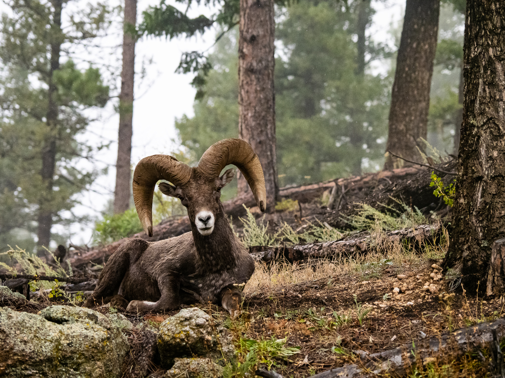
We stopped for a break at the high point only to find ourselves sharing our spot with a bighorn sheep. It peered at us curiously and cautiously while it munched on grass. I was halfway into putting on rain gear and scrambled to get moving, less it live up to its ornery reputation. We hoofed it out of there while it continued to eye us lazily. A pretty fast descent brought us down to the South Platte River and the start of Segment 2.

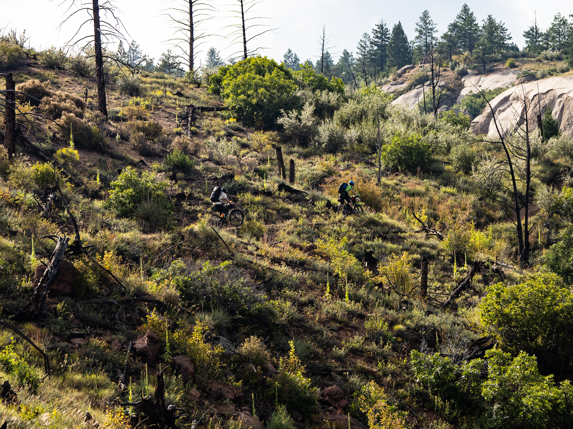
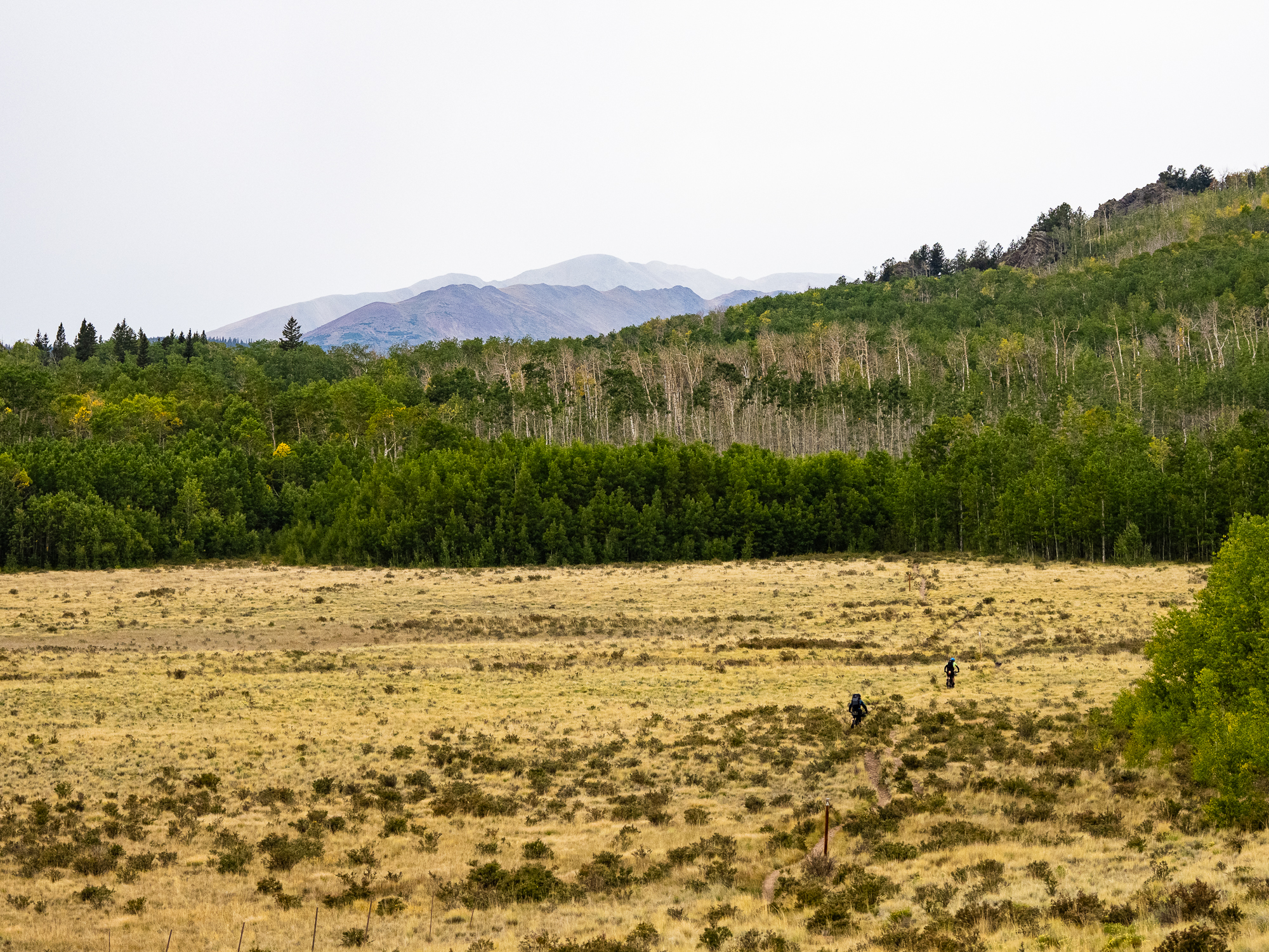
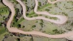
Segment 2 has a poor reputation because of how exposed it is to the elements. Several decades ago, the forest was destroyed in a fire, and it hasn’t grown back. There’s few trees standing, little shade, and no water. The plus side is the expansive views of big mountains and lots of impressive rock formations. It was mostly rideable too, and mostly uphill. The segment ended next to a rural firehall, where we topped up with water while locals showed up for a community meeting. We set up camp across the road, back on public land.


Stats, per Strava: 54.33 km, 1,485 m of climbing, and 5:49 moving time. I turned it on a few K into the ride, so we actually did a little more than that. I was hoping to make it further, but knew the next day would involve a lot of road, so we could make up some of the missing distance.
Day 2
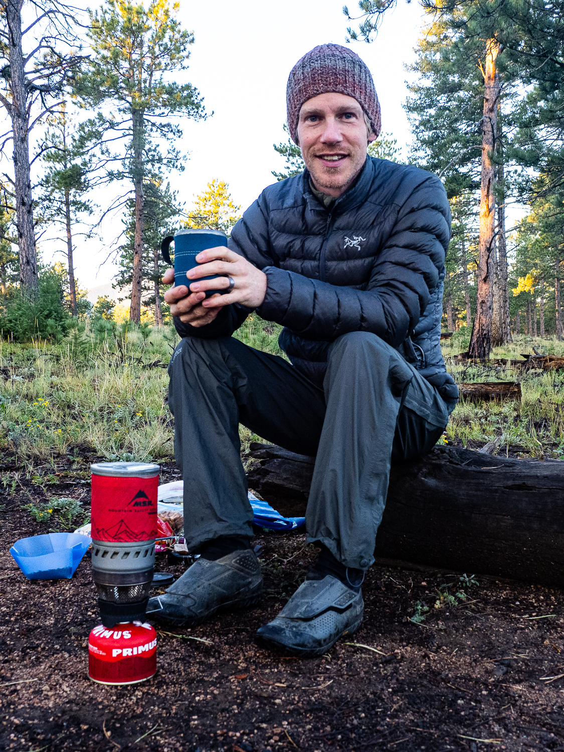
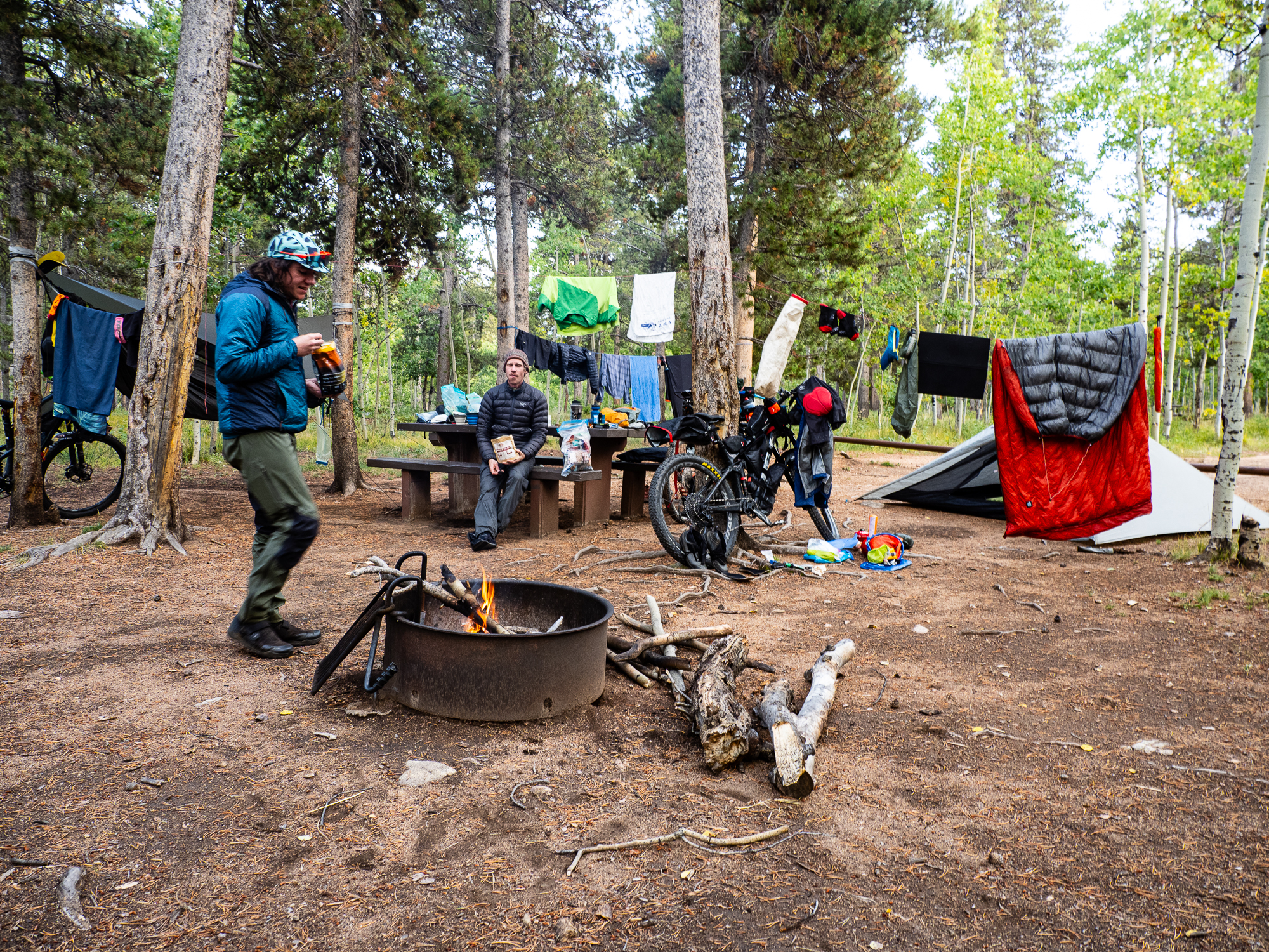
Russ and I were sharing a tent and we quickly developed a system for the morning. Around 6:30 am, one of us would let the air out of our sleeping pad, and that would be the signal to get moving. We would pack up everything inside the tent so we could hang up the fly to dry while we ate breakfast. This system served us well.
Breakfast was my usual camping fare of instant oatmeal and tea. It’s boring, but quick and easy. As is my pattern, it took my about 1.5 hours to eat, clean, and pack up. And then I sat around for an hour waiting for Dru. In hindsight, I should have spoken up then. I knew that if we wanted to stick to a 12 or 13 day target, we would need to maximize our days. Today, I hoped we could cover 105 km (with only 20 of that on singletrack) and make it to a campground on the Tarryall Reservoir. Plan B was another campground “only” 90 km away. I thought that was a realistic goal, and didn’t really have a Plan C in mind.
So, I sat and waited for Dru, but didn’t say anything. It was our first morning at camp and I figured I would bring it up at our next camp that night, I told myself. Instead, I took off a little early to make use of an outhouse a few kilometres down the trail. It was just about 9 am by the time we got going.

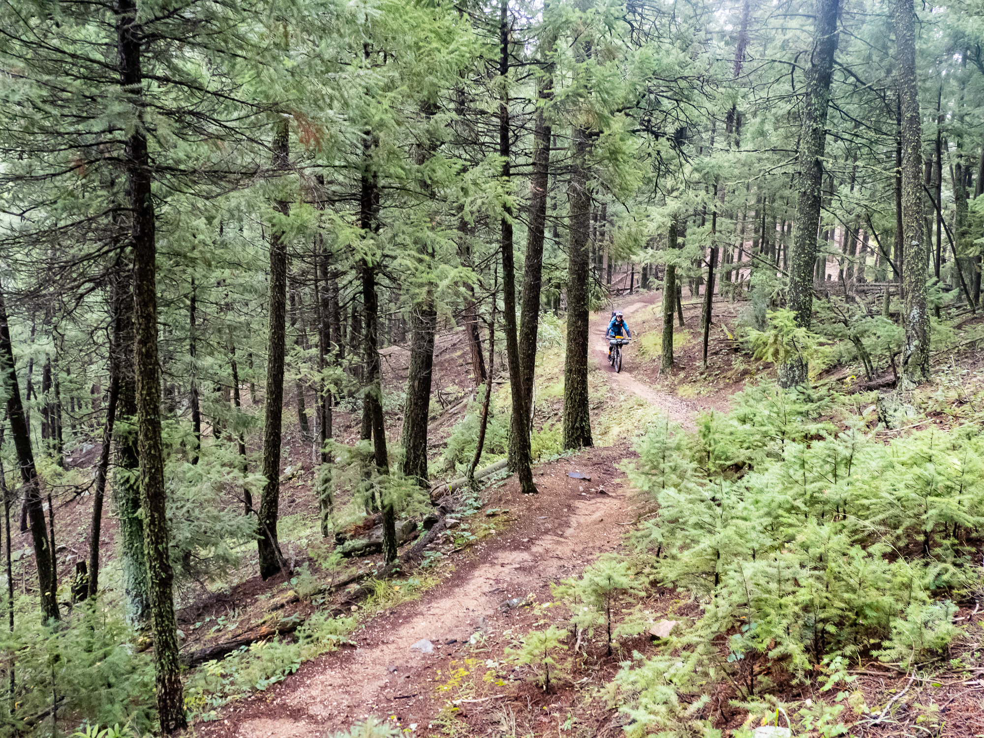
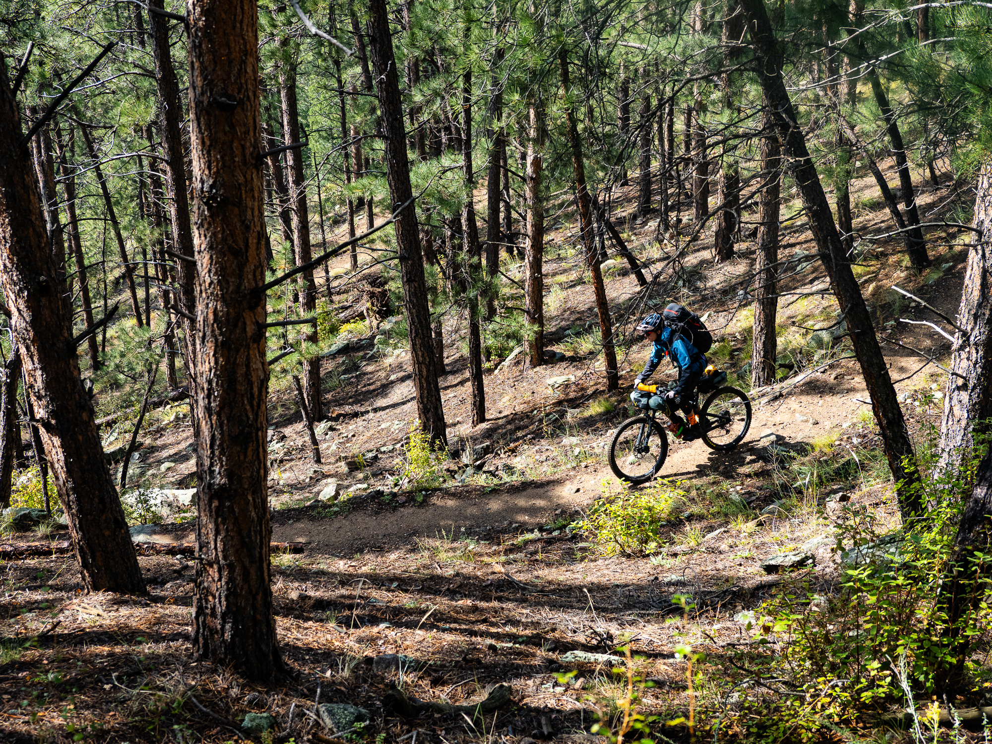
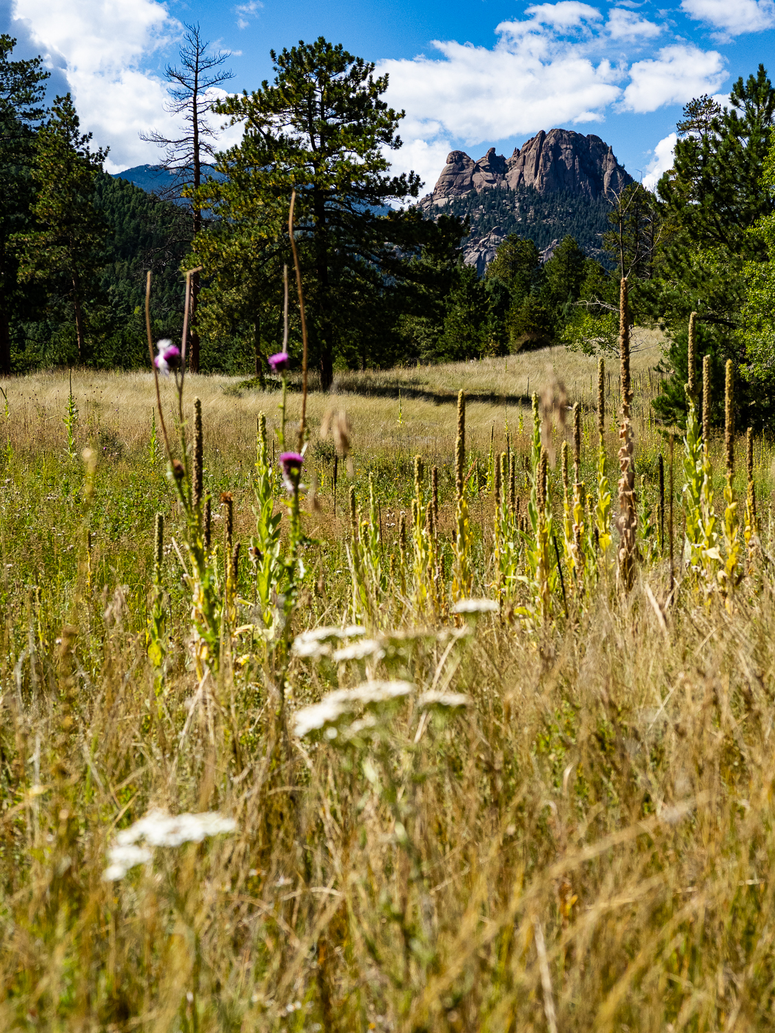
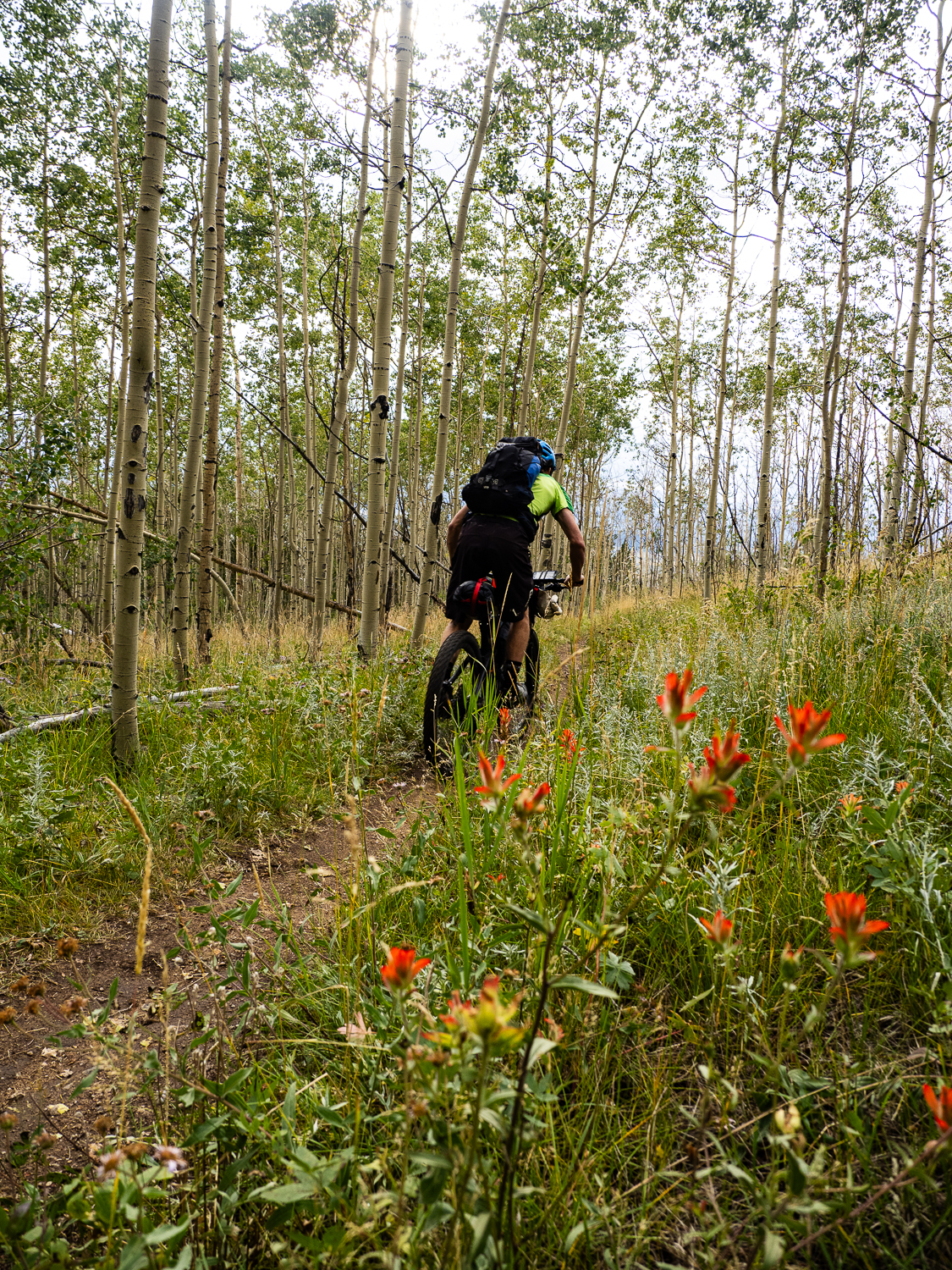
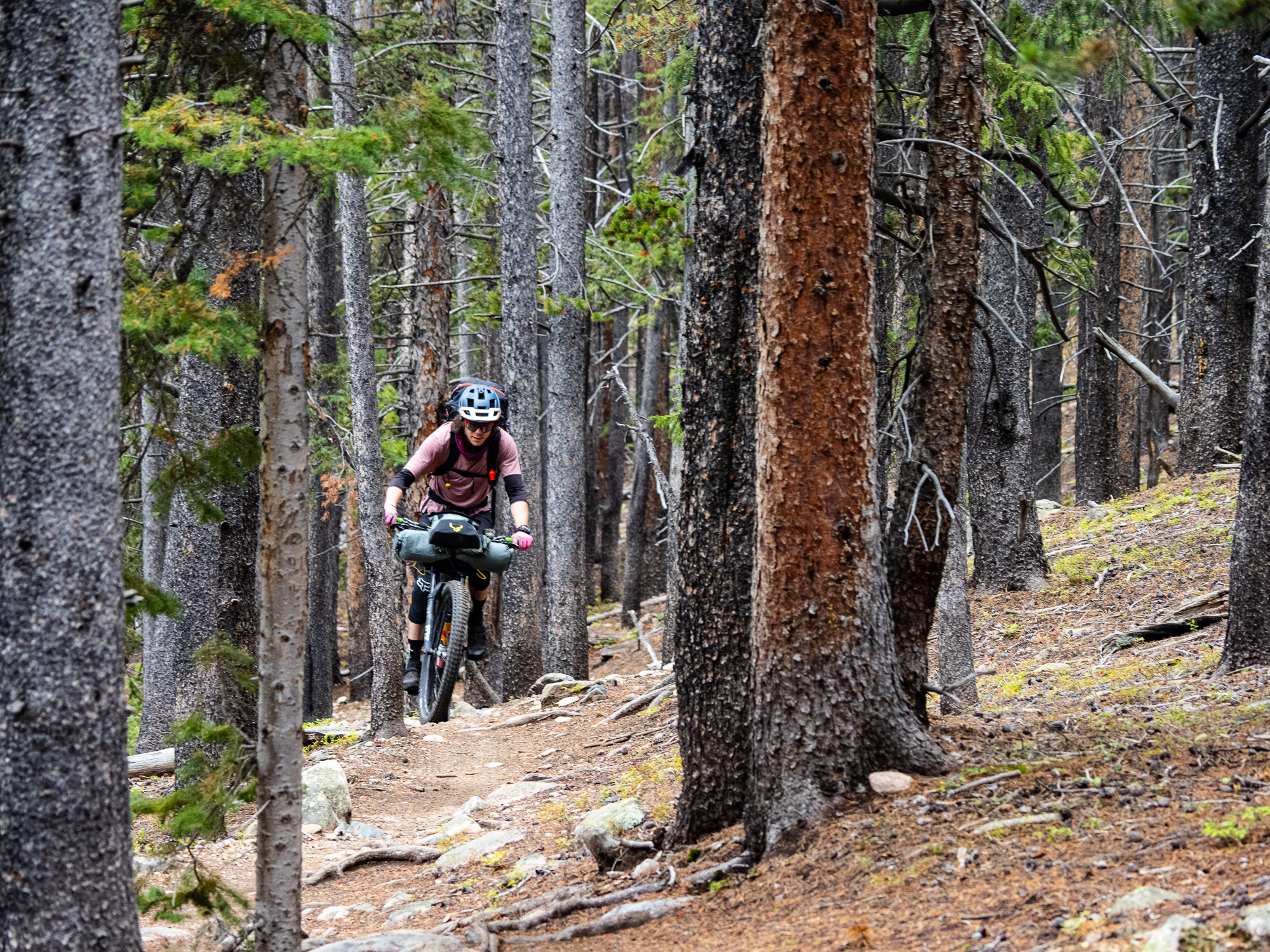
We started with 20 km of proper mountain bike trails, with great flow and reasonable grades. Even though the riding was relatively easy, it still took us three hours to complete this section. There was stops for photos and water and snacks, which all add up. We reached a campground to get more water, then stopped for lunch further down the road to avoid paying the day-use fee at the campground. The Tarryall detour was hot and exposed, with long climbs on loose surfaces, which made for somewhat slow travel. The scenery across the arid landscape was beautiful, with one rocky mountain dominating the view. The biggest issue was the lack of water—we went about five hours between water sources until we reached Goose Creek around 4 p.m.


Here, we faced a decision: we had 30 km to the first campground, with over 700 m of climbing, and only a little over three hours of daylight left. We could either stock up with water and be ready to dry camp, or we could go light and push hard to get to the campground. I argued for option two. I knew the final 12 km was on pavement, and I felt that with a good push, we could make it there before it got dark. Also on my mind, but unspoken, was my thought that if we stopped early, we’d fall further off pace. I honestly don’t remember how the other two felt, which speaks to my own strong-headedness.
It was the wrong call.


I had a burst of energy going up the next climb I flew up while Russ and Dru just barely kept pace. A fast descent was followed by another climb, which was a bit slower. I still felt good about getting to camp on time, but now we could hear rumbling in the distance. Partway down the descent to the highway, Dru stopped. It was about 6:30 p.m. and he was worried about the thunder. He felt we should set up camp before it started raining, and that we shouldn’t risk getting caught in a thunderstorm, especially with less than an hour of daylight left.
Sensible advice, but I continued my stubbornness. I had only about a litre of water left and felt we could make it to camp, if not by dark, at least not long after. Internally, I was grumbling that if Dru had been faster in the morning, we’d already be at camp and wouldn’t be having this discussion, though I did not vocalize this.
Dru decided he would boil some water for his dehydrated meal here, and Russ and I continued onwards. It didn’t take long to coast downhill the highway. With the sky rumbling and little drizzle falling, we put on our rain gear in anticipation. As we turned onto the highway, a woman stopped and warned me about the storm ahead. We pushed on.
The storm hit just as it got dark. Or it hastened the onset of night. Thunder roared around us and the sky flashed bright with lightning. We could see strikes nearby. We were very exposed. To make matters worse, Russ was bonking hard, and we still had a hill to climb. This was the worst situation imaginable, and it was my fault. We didn’t really have a choice but to keep going until we got to Spruce Grove Campground. There was nowhere to take cover, so we just had to hope for the best. At first, I charged ahead, but I slowed down when I realized how slow Russ was going. What I thought would be a quick ride seemed to take ages. The lightning abated slightly, but the rain continued to hammer us the whole way.
At the campground, we found the closest site to the outhouse and I quickly got our tent pitched. That was kind of a waste, since we ended up getting changed and drying off in the outhouse anyway. I huddled under the awning, cooking some ramen for dinner, while I heard Russ vomiting inside; he couldn’t get down any food that night. Dru showed up half-an-hour later; he said he hid out under a rock for a while. I felt terrible for putting the group into a truly dangerous situation. I immediately apologized for pushing the group too hard and not heeding Dru’s advice.
Eventually the rain stopped and the stars came out. The campground host came out to say hello and said we could camp for free that night. He offered us some dry firewood, but instead we crawled into our respective tent and hammock.
Our stats were over 90 km and about 2,000 m of climbing.
Day 3
The day dawned bright and clear. We slowly went about our routines, when Dru broke the ice. He appreciated my apology, but said we couldn’t let that happen again, we should aim to be at camp by six every night, and we needed to avoid riding if was stormy. We all agreed on that. I also took the opportunity to say my piece: Dru needed to get ready faster in the morning because we had to maximize our days. If our plan was to be at camp by six every night, we needed to start riding around eight to reach our daily goals, given our pace.
Given the events of the previous night, we were all moving slowly. We agreed we’d have an easy day and set a reasonable target of Kenosha Pass. It was 55 km away, with only about 1,000 m of climbing, and over half of that was on pavement. We cruised out of the campground and onto the pastoral Tarryall Road. As usual in the morning, I brought up the rear, and felt particularly sluggish that day. Russ raced ahead, seemingly recovered from the previous day. We regrouped at the Tarryall Reservoir and again at the turnoff to the Stagestop Saloon, which wasn’t going to open for another few hours. I pushed on ahead, turning onto the dirt Rock Creek Hills Road not far after. Partway along, I stopped under a tree and enjoyed a leisurely lunch consisting of a wrap with my peanut butter/Nutella mix. I was pretty surprised Dru and Russ didn’t pass me, but maybe they were resting somewhere else? I continued on to junction where the detour re-joined the CT.

Dru caught up not long after; he missed the turnoff and pedaled an extra 5 km down the Tarryall Road before realizing his mistake. But, where was Russ? Russ left the Stagestop first, so he should have been there. Turns out, he also missed the Rock Creek turnoff, and went even further the wrong way than Dru! So much for an easy day, but at least we were all back together. The remaining 10 km to our campground took us through open grasslands and stands of towering aspen, the trunks like twisting marble columns.


We reached Kenosha Pass Campground around 5 p.m. and set up camp. We had ample time to hang stuff up to dry and I scavenged leftover wood from other campsites so we could start a fire. Dru busted out some instant caramel pudding for desert.
The ugliness of the previous day was behind us.

Day 4
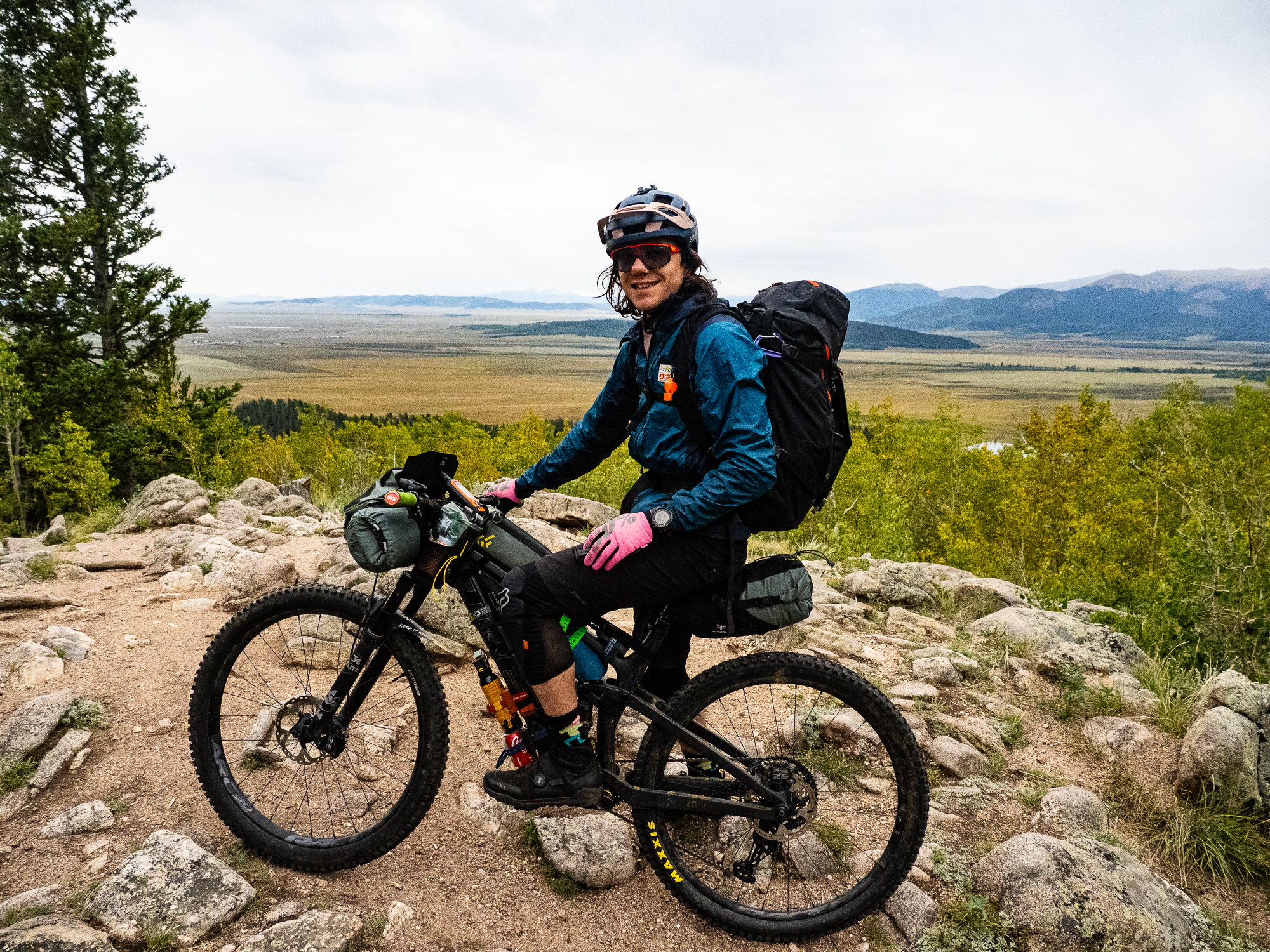
With food supplies dwindling, we decided to take another “easy” day and spend the night at a hostel in Breckenridge. An easy day on the CT still means over 50 km of riding and 1,000 m of climbing. We also had our first big pass of the trip—Georgia Pass at 3,600m.
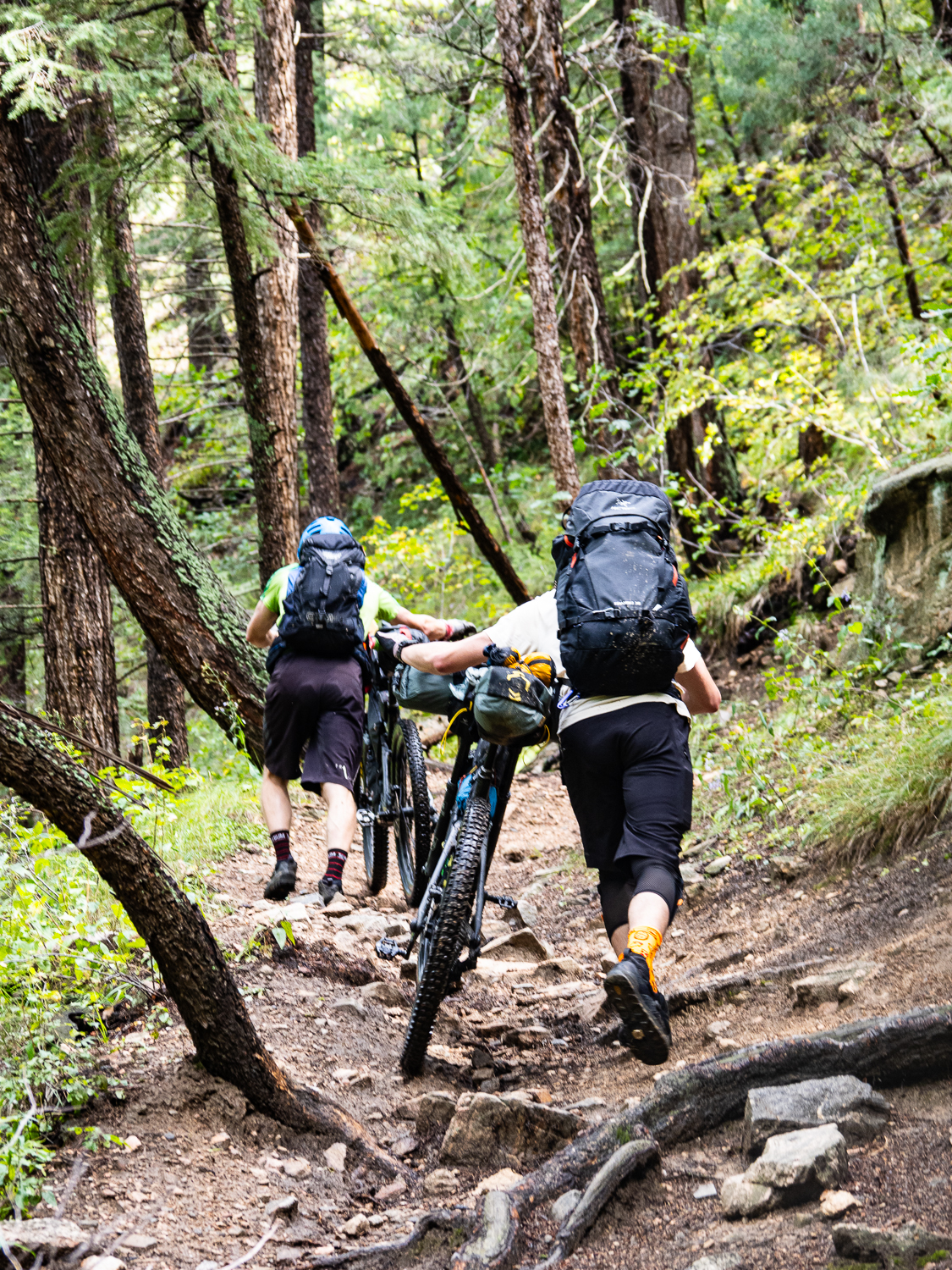
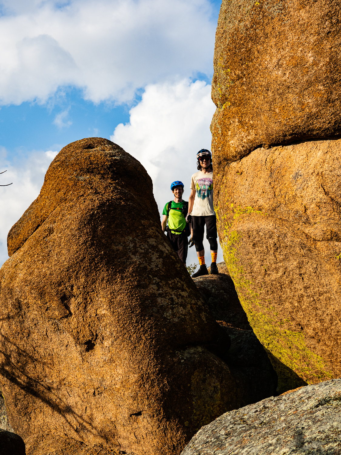
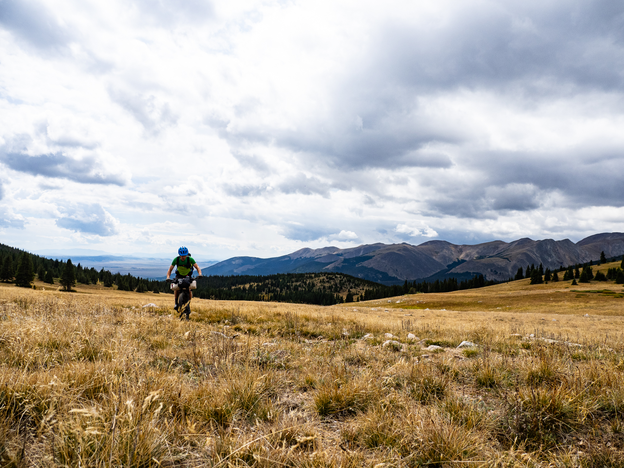
The first 10 km featured small ups and downs, most of it pretty fun. We enjoyed expansive views of South Park, which is actually a vast plateau and not a small town filled with bizarre characters. Then we began the 9 km, 600 m climb to Georgia Pass. The first third was filled with soul-sucking roots, the second third was buff and mellow, and the final stretch in the alpine was rutted and frustrating. Dru uncharacteristically brought up the rear. As we waited for him to catch up, we got the bad news—his shock had blown. We crested the pass in the snow; our only hope was his shock would get him down to Breckenridge, and he could get it repaired promptly.


The official CT route down to Breck involved a long descent, a 350 m climb, then another long descent with about 200 bonus climbing metres thrown in. With Dru needing to get to a bike shop, opted for a more direct route that cut out the big climb for a trail called Galena Ditch. That would get us to the valley, where we could follow the bike path into town. Unfortunately for Dru, the first downhill was an endless rock garden; I didn’t envy Dru riding it without a shock. With one, it was a blast, as I let my bike crash through the endless melon-sized rocks. Galena Ditch was an easy cruise along the hump of long dredging piles, remnants of Breckenridge’s mining days. We got to town and Dru went to find a bike shop while Russ and I checked into the Bivvi Hostel.
Dru managed to get himself a service appointment the next morning at 8 am at a shop 20 km away. That night, we ate way too much food at Empire Burger, met an interesting character at the local laundromat, and enjoyed a nice soak in the hot tub. Knowing we weren’t going to be rushing off the next day, we put off grocery shopping until the morning.
Stay tuned for Part 2.


1 comment ›