
My timing for a holiday this summer couldn’t have been better. When I was busy with work and completing a course, it was dreary and rainy. Combined with the pandemic, there wasn’t much motivation (or time) for any adventures. Then, mid-July, someone flipped the switch. The incessant rain ended, the sun came out, and the world started to open up a little. I met a couple of deadlines, then booked off for a week.
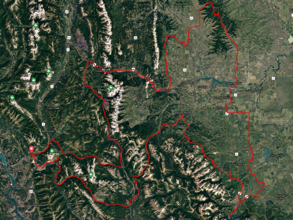
My destination–a route I devised that would take me through the Flathead region of southeastern B.C. into the foothills of southwest Alberta and back again. Starting in Elko, my plan was to make my way through the Flathead to Middle Kootenay Pass, which was once used by First Nations and is now an OHV route on the BC side and a hiking trail in Alberta. From there, I would head to Waterton National Park, then loop through the foothills and back into the Flathead.
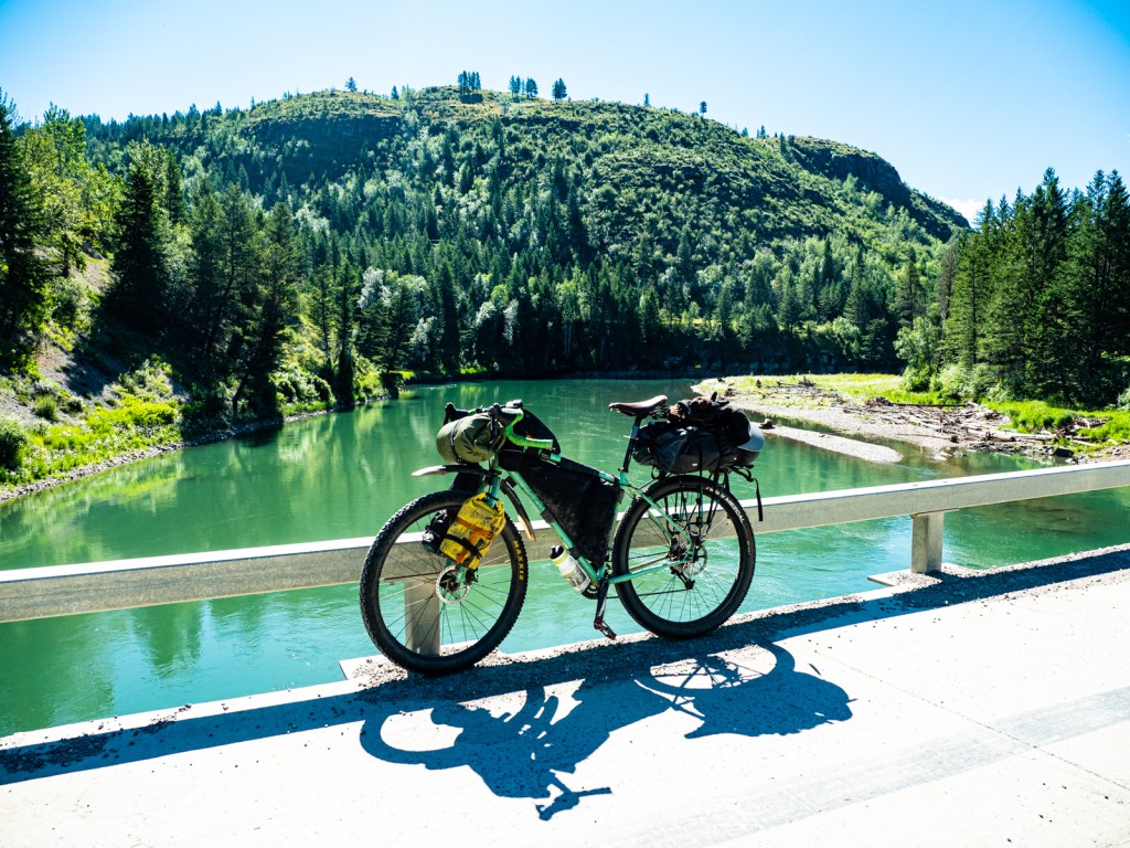
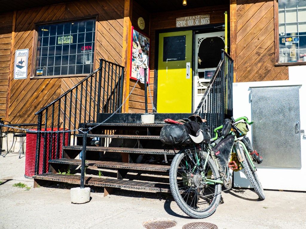
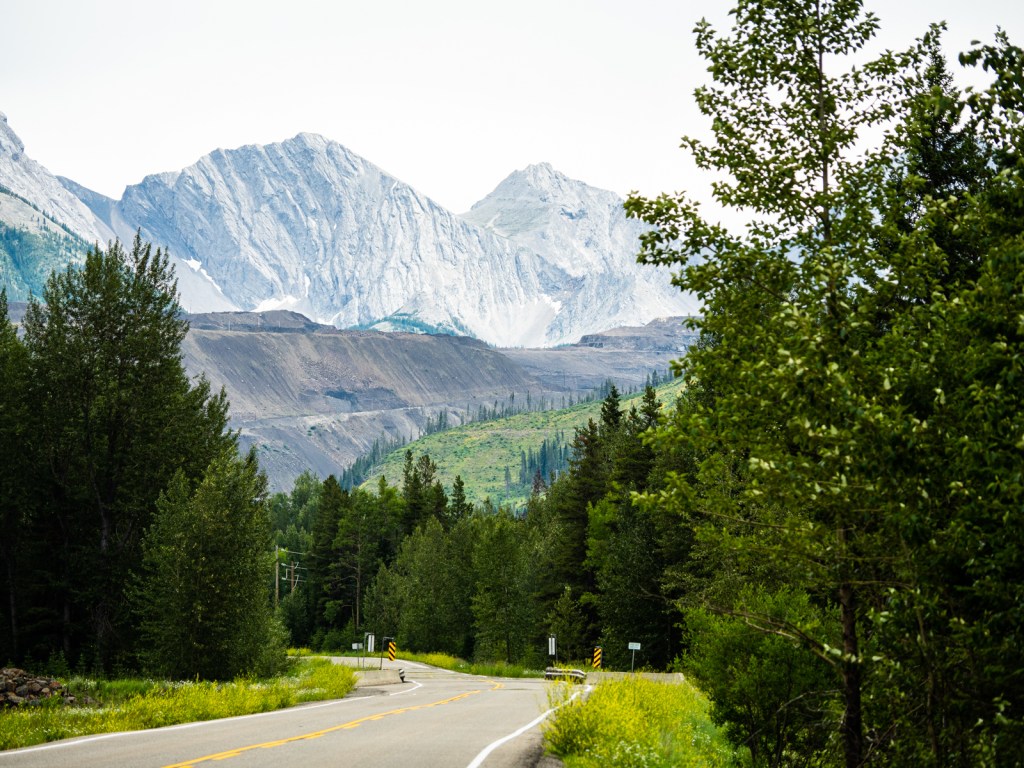
The trip got off to an ominous start. First, I left my sandwich for the first day at my friend’s house in Kimberley (replaced with a gas station sandwich). Then, my front tire sprung a leak in the parking lot of the Elko Motel, where I left my car for the week (thank you bacon plugs). Finally my chain snapped a few kilometres in while going up a steep hill.
Fortunately the rule of three would apply and the next week went as smooth as possible afterwards.
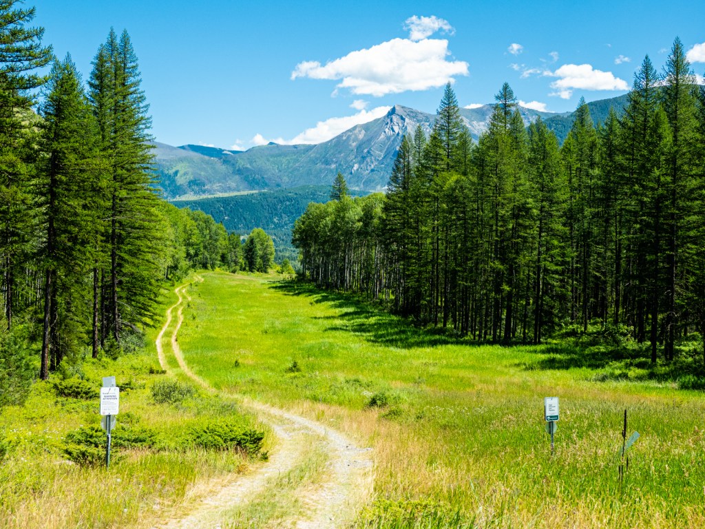
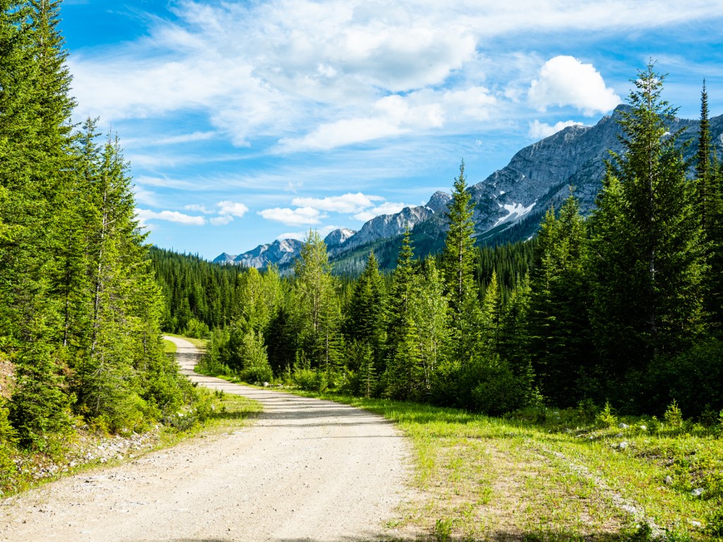
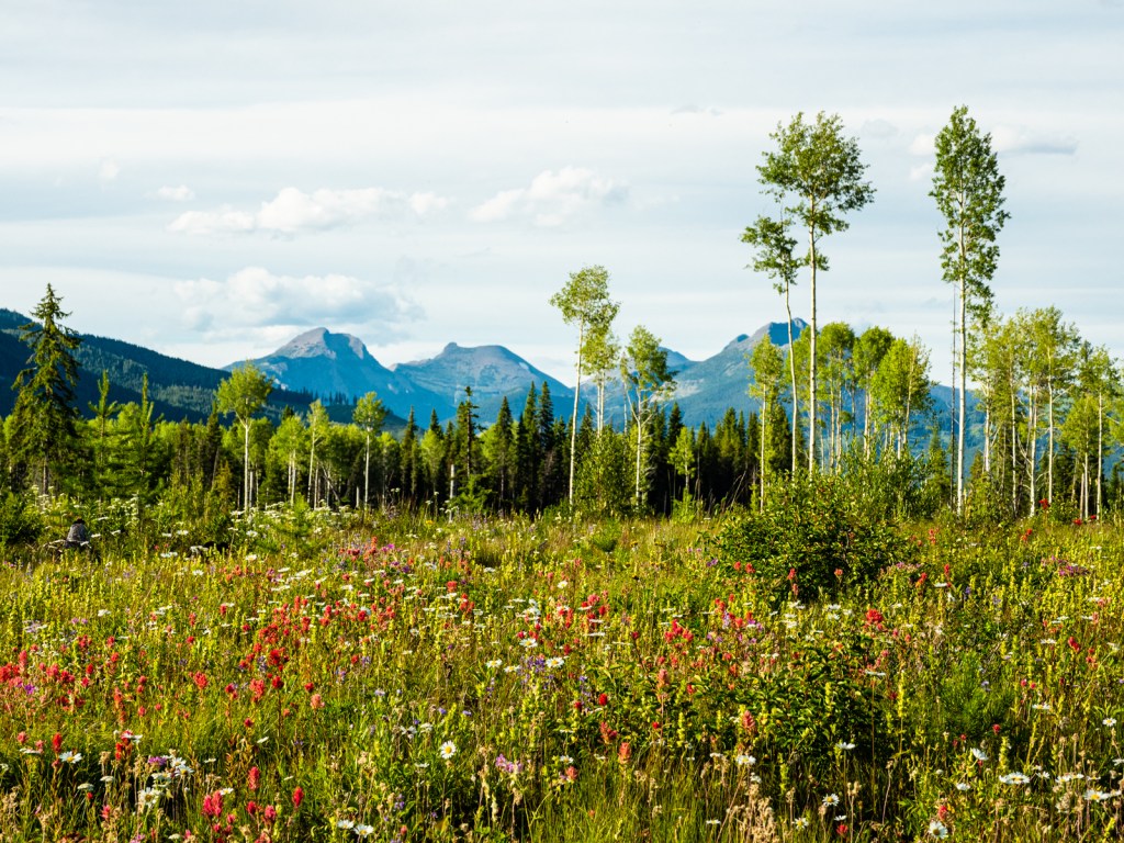
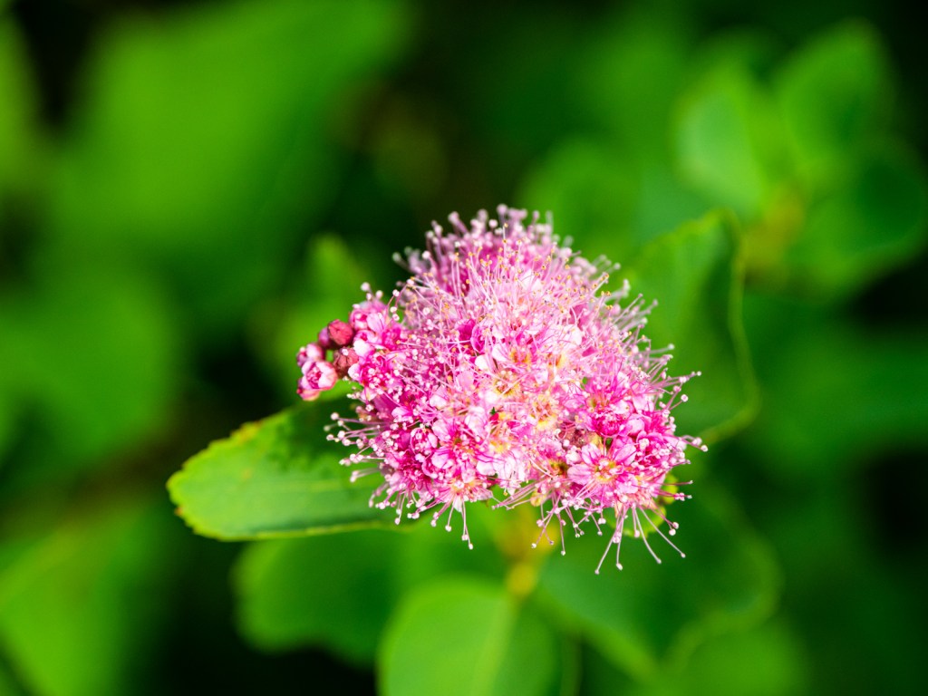
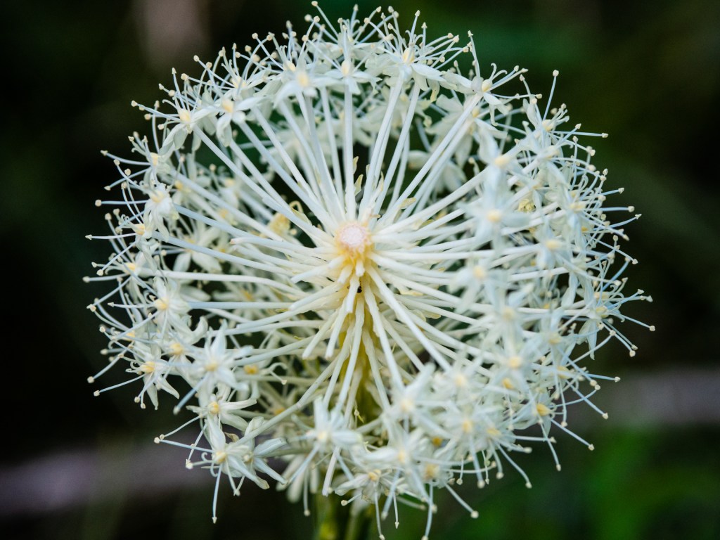
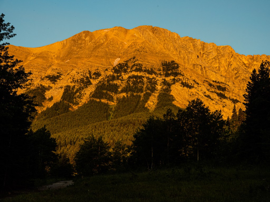
I left Elko on a hot Saturday morning, the mid-summer sun making itself felt. I pedaled steeply up to the Wigwam Flats, a huge wildflower meadow sitting south of Mount Broadwood. I rode gentle singletrack that was only discernable thanks to another group of cyclists that weren’t far ahead, but just out of sight. The trail followed the rim of a canyon high above the Wigwam River, the flowers in full technicolour bloom. It was a slow start as I soaked in the views, stopping for way too many photos.
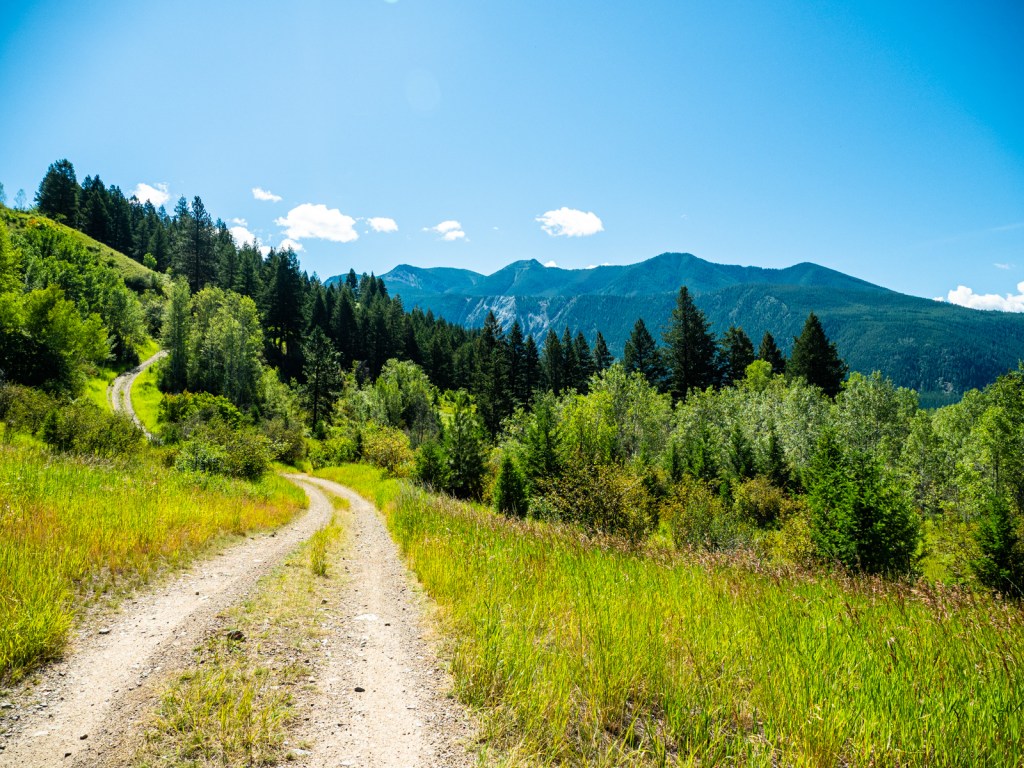
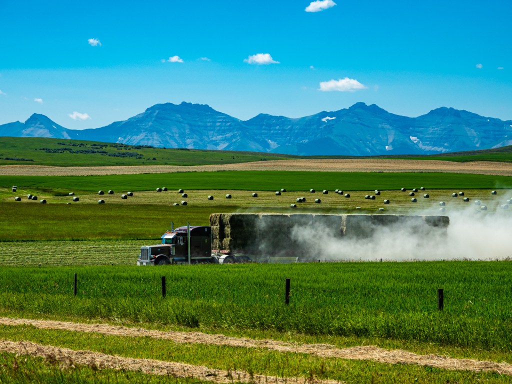
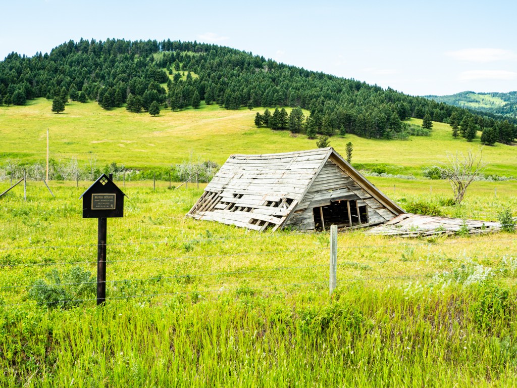
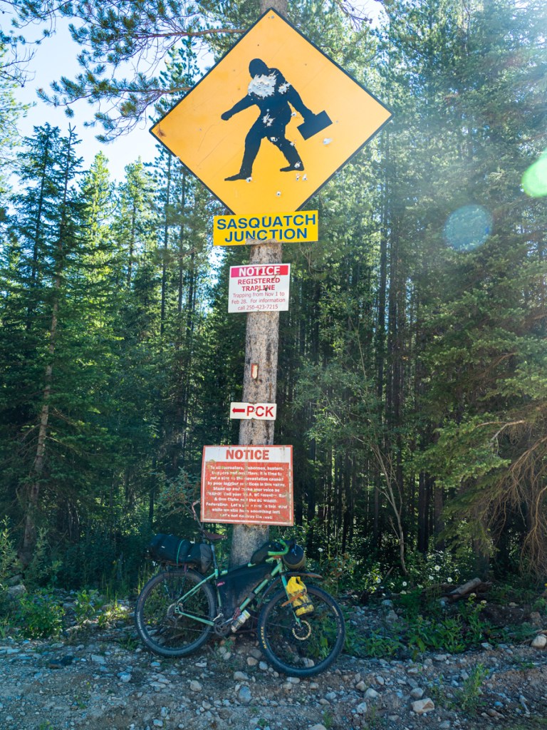
Leaving the meadows, I ran into a family just starting a trip west on the BC Trail. I circled Mount Broadwood until the road turned into the heart of the Flathead, and up through a significant forest burn. My goal for the day was Butt’s Cabin, a semi-famous stopping point on the Great Divide Mountain Bike Route. I wasn’t sure I would make it, but some gravel riders convinced me it wasn’t too far (they were off by about 15K), so I pushed hard to get up and over Castle Pass.
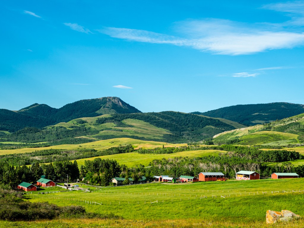
I arrived to find the campground full of people enjoying a weekend away. My bike stood out amongst the big trucks, RVs, and spacious tents. I grabbed an empty picnic table in a clearing that was occupied by another party, but no people. I pitched my tent and started cooking dinner when someone rocked up in a truck with a friendly warning.
“Just so you know, these guys are a little rough. They’re pretty redneck.”
“You mean they’re here to party?” I asked.
“Yep. You might want to find somewhere else to sleep tonight,” they advised, before telling me there was a good spot by the river.
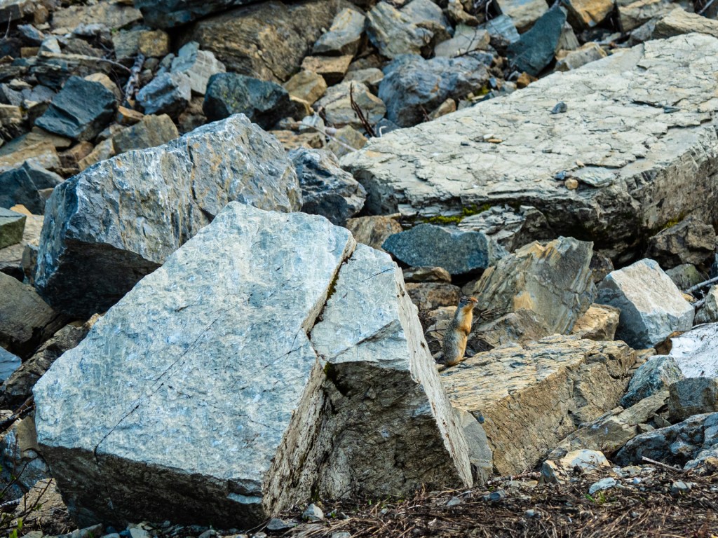
I thanked them and looked at my options. My eyes went from my neighbours huge RV to my tiny bike and tent, and back again several times. I didn’t want to camp solo out here, given the Flathead’s reputation for grizzlies, but I also wanted to sleep. Alas, my desire to sleep won out over my concern about bears. Grudgingly, I wolfed down my dinner and packed up, strapping my gear haphazardly to my bike. I reached the river and set up on the sandy back beneath the bridge.
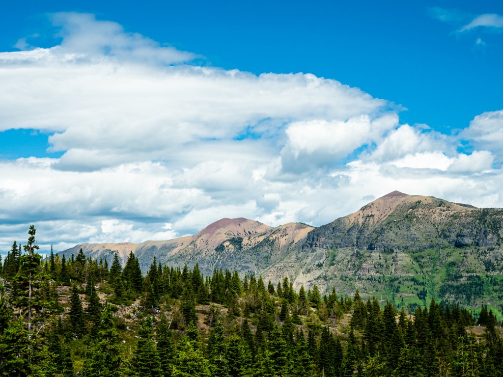
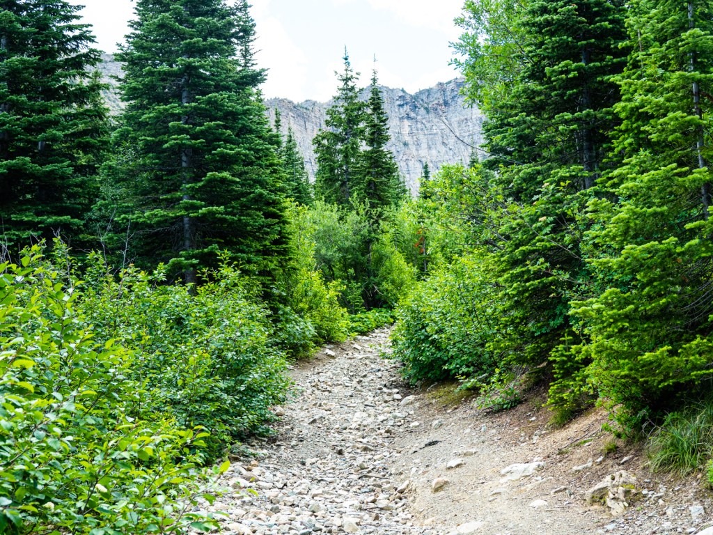
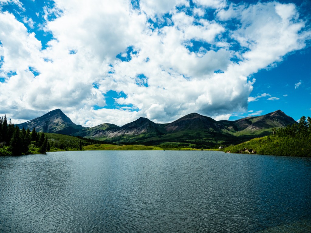
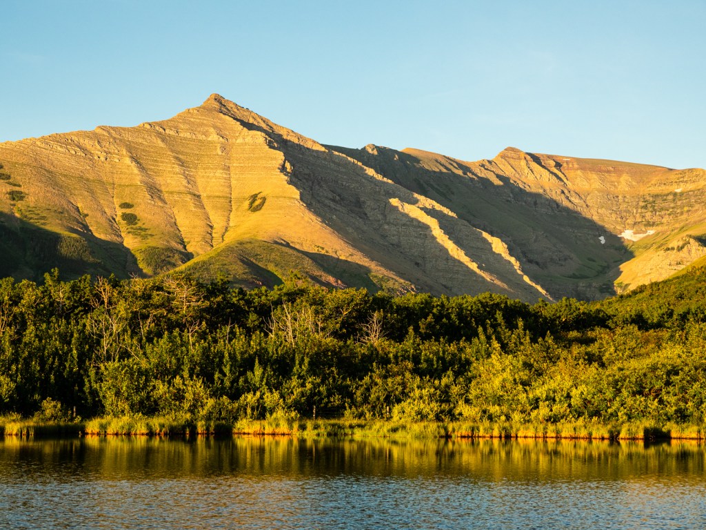
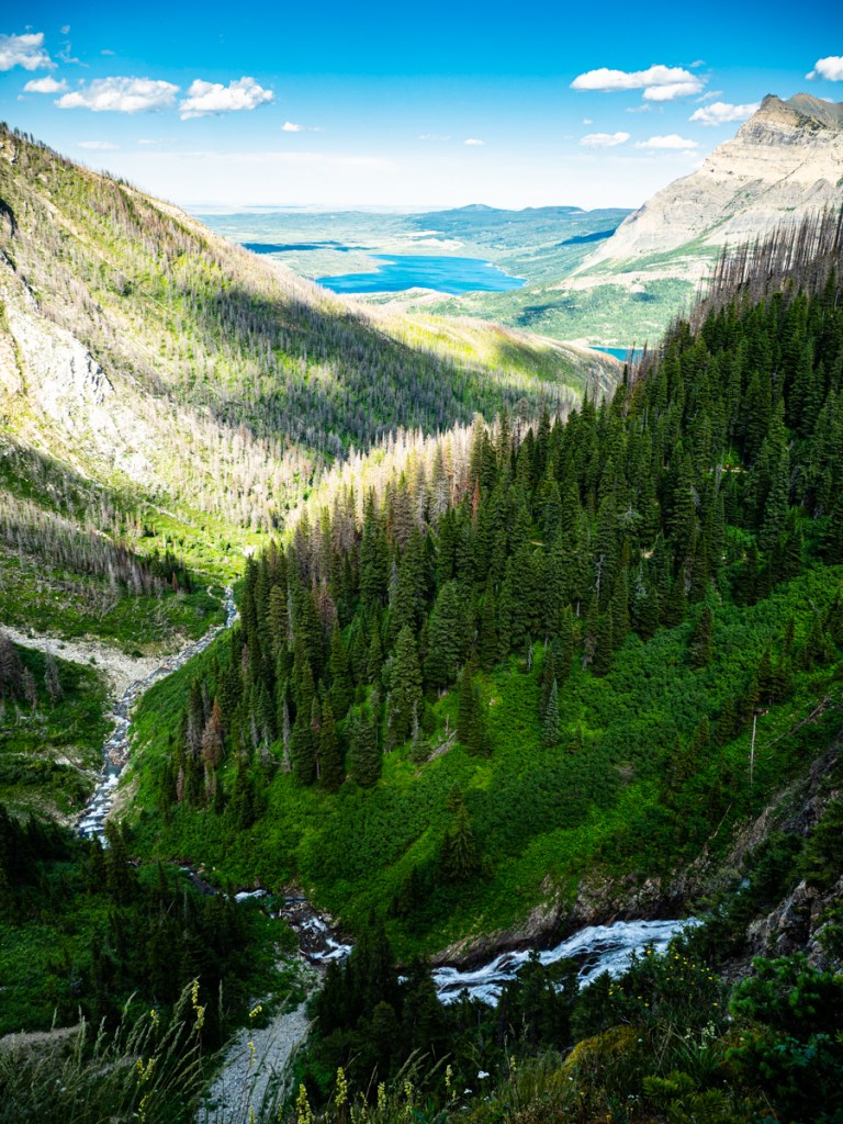
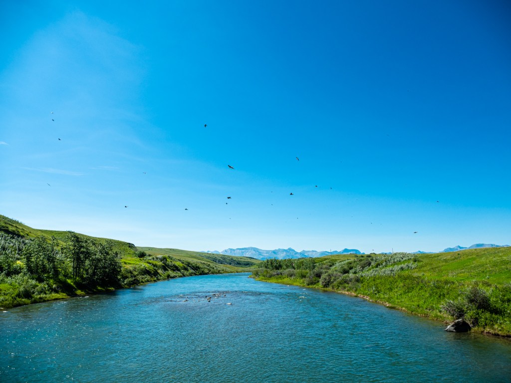
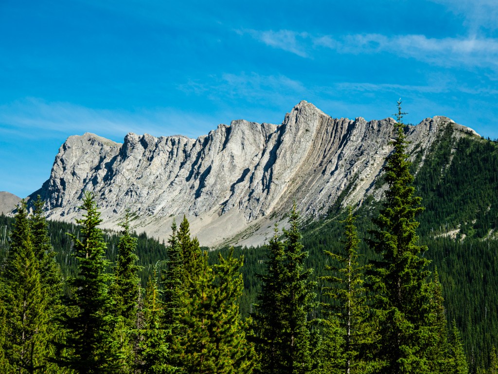
I woke up the next morning aiming to get across Middle Kootenay Pass and into Alberta. It was 30 kilometres and 700 metres of climbing away. The first 25K was pretty easy. The last five involved some bushwacking and hike-a-bike. The view from the top at over 2,000m looked out over a colourful array of mountains. The wind that would be my companion for most of time in Alberta showed itself, making my time at the top brief.
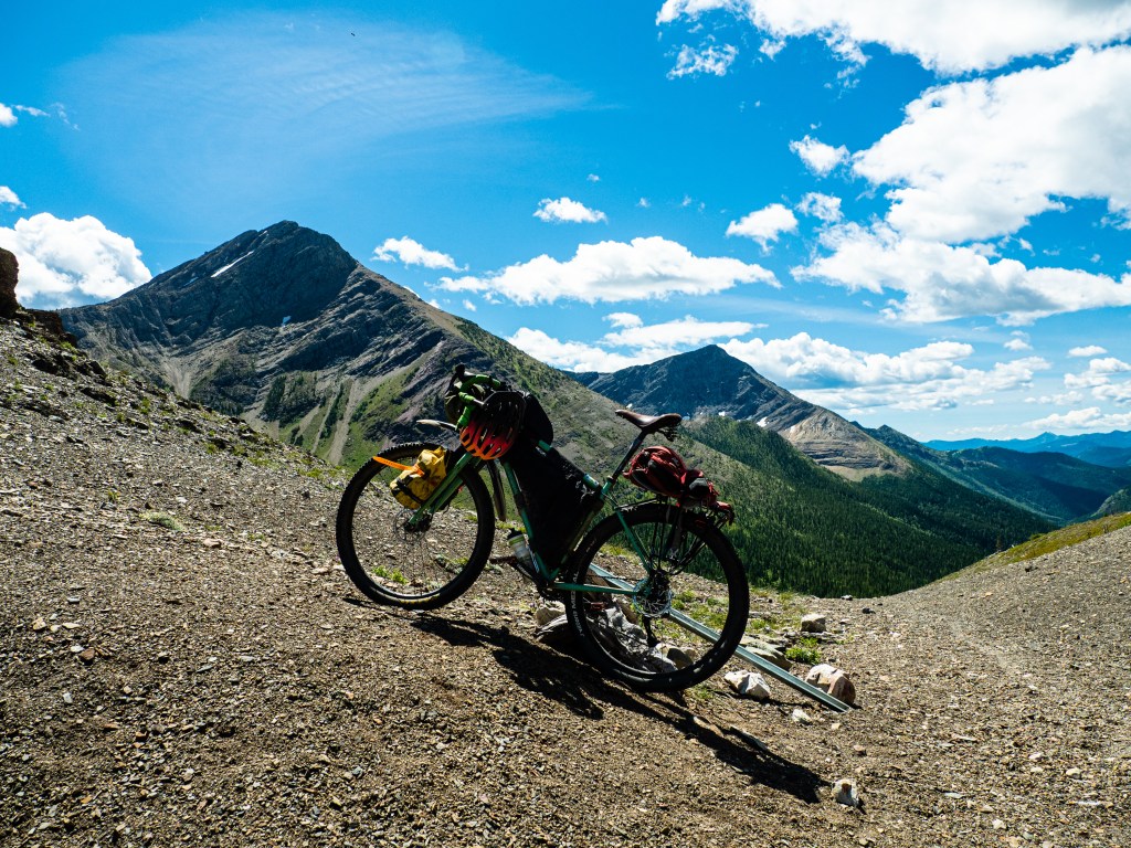
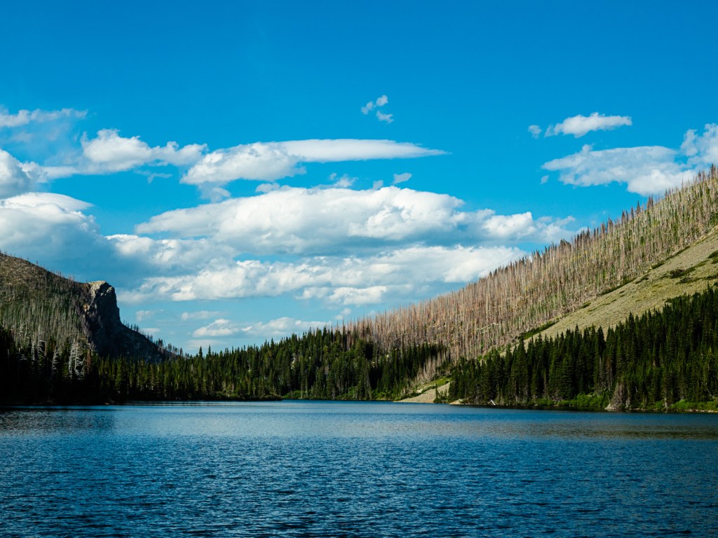
The descent into Alberta was steep and rocky. I rode what I could and walked what I couldn’t. Eventually I found myself back in civilization at Castle Mountain Resort. I stopped quickly to mooch some wifi and tell my emergency contacts I was alive, then took off for Beaver Mines Lake, eager for a swim (and free camping nearby). Unfortunately, the road to the lake was uphill and busy with weekend traffic. I choked on dust as I battled a hill and a headwind, but fortunately it wasn’t too long. I had a wonderful swim, but I regretfully chose a mosquito-infested campsite. I took refuge in my tent shortly after dinner rather than enjoy the warm evening by the fire.
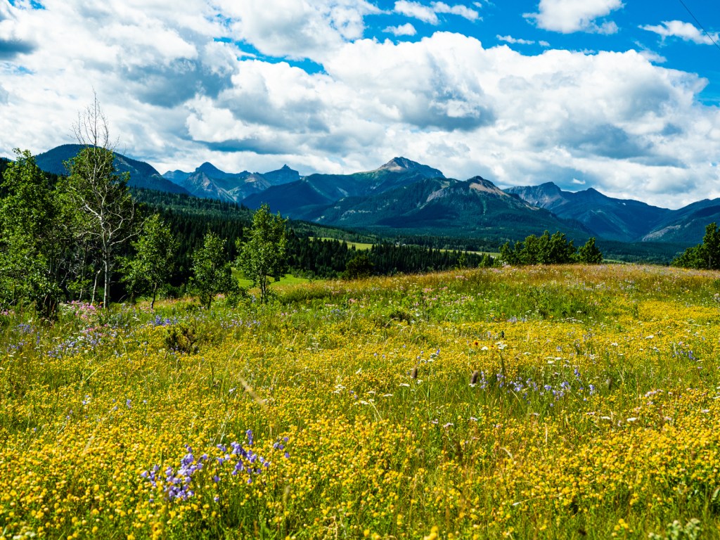
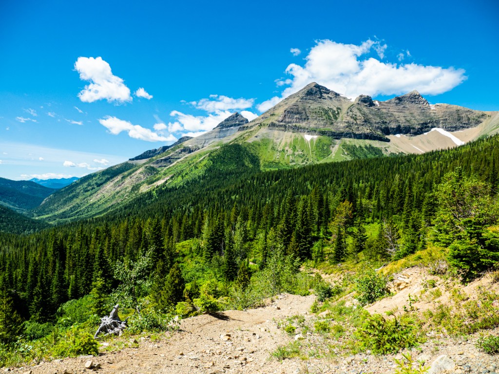
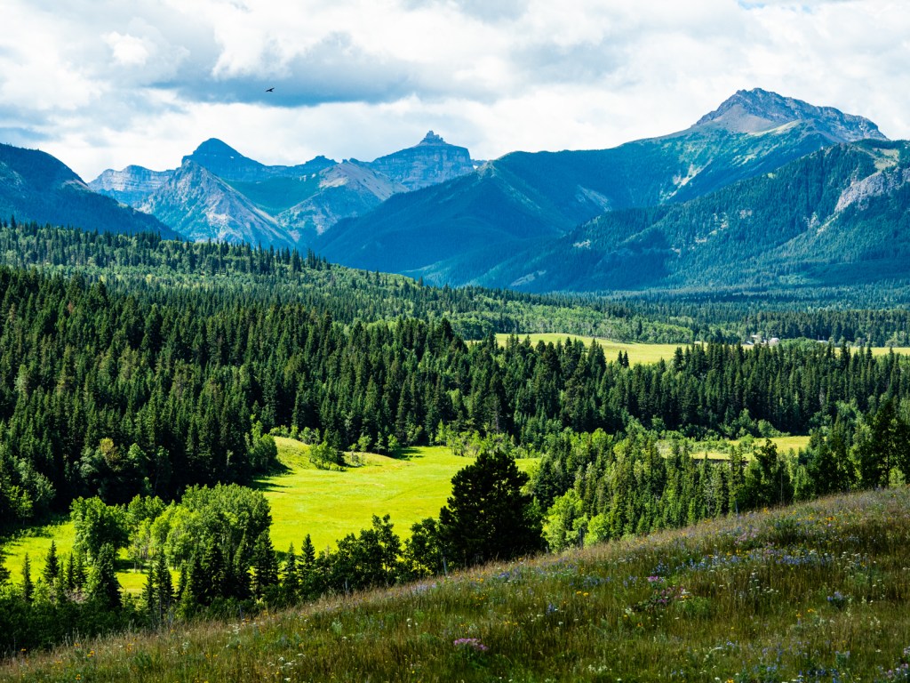
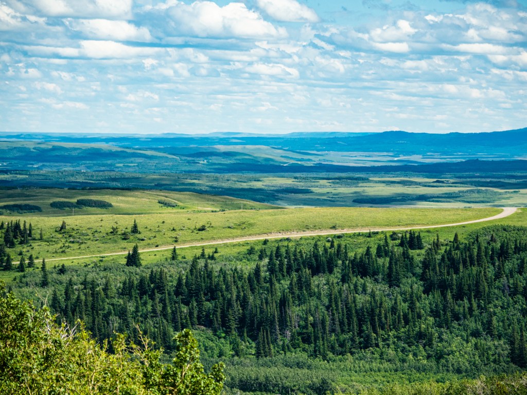
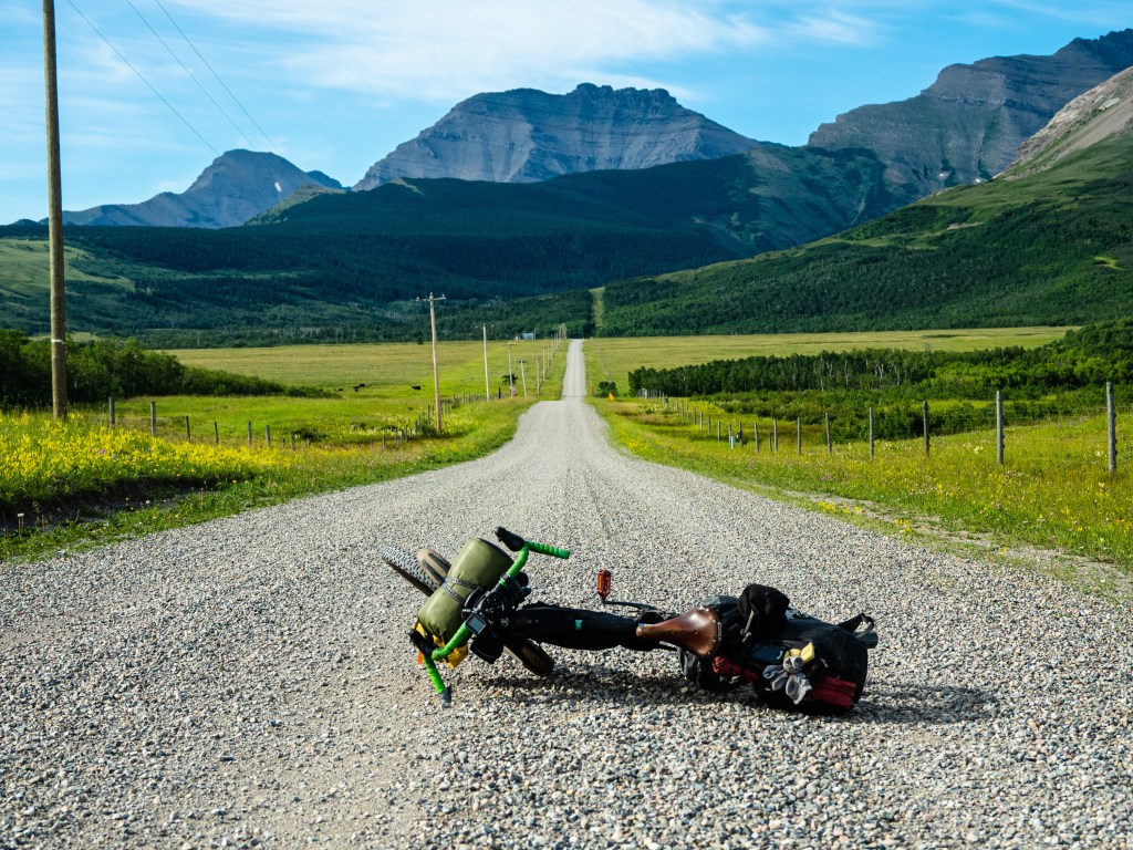
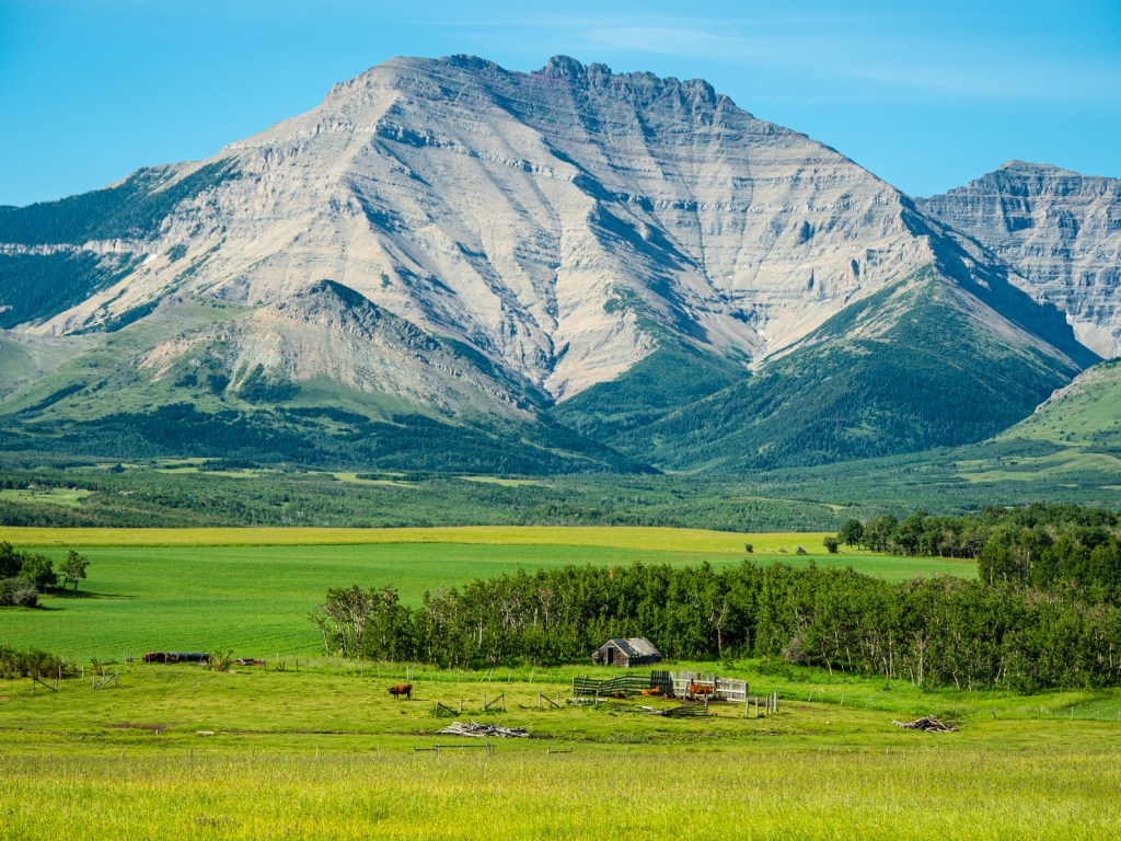
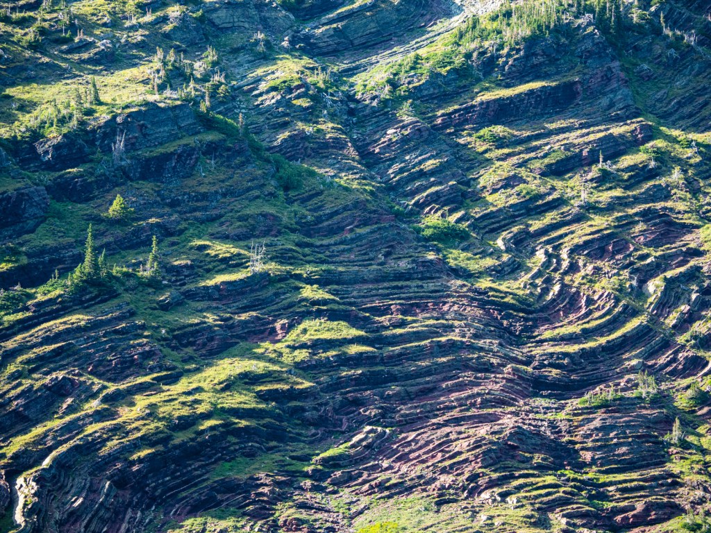
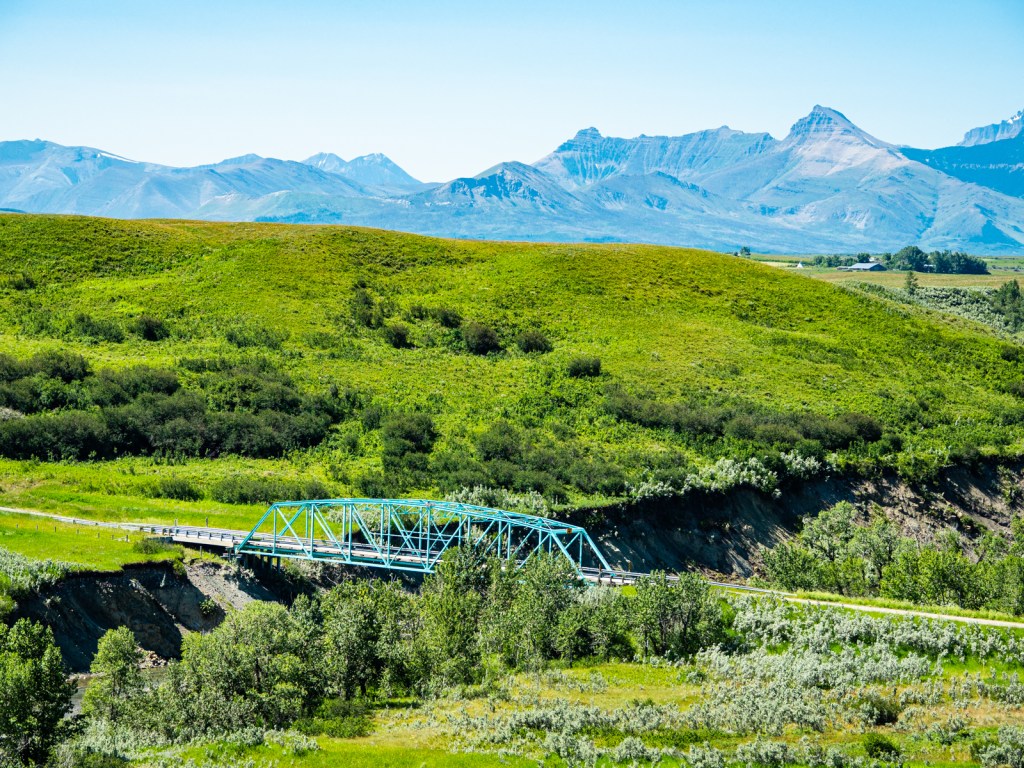
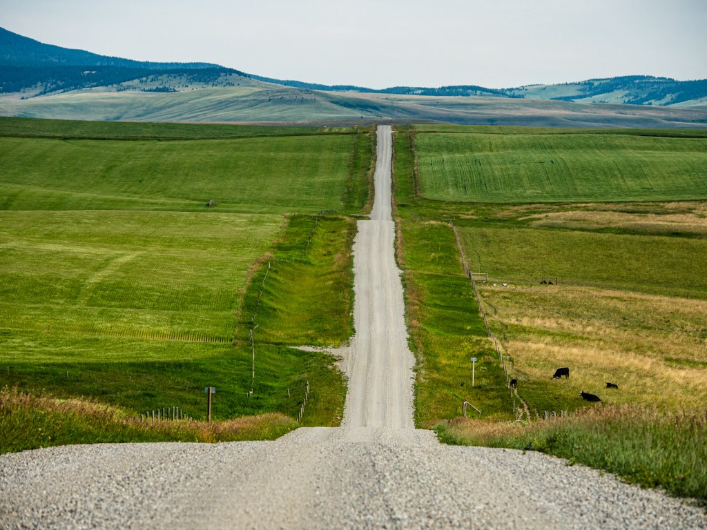
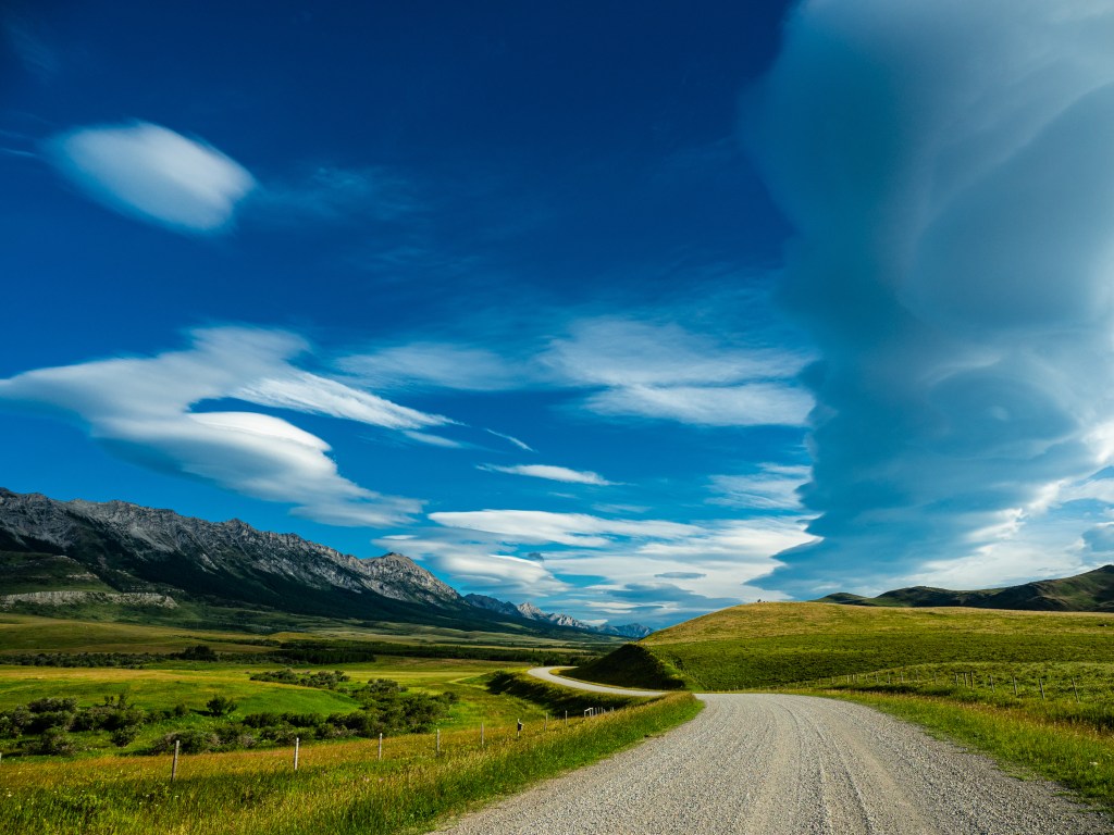
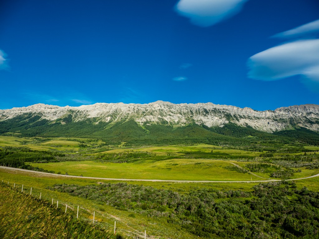
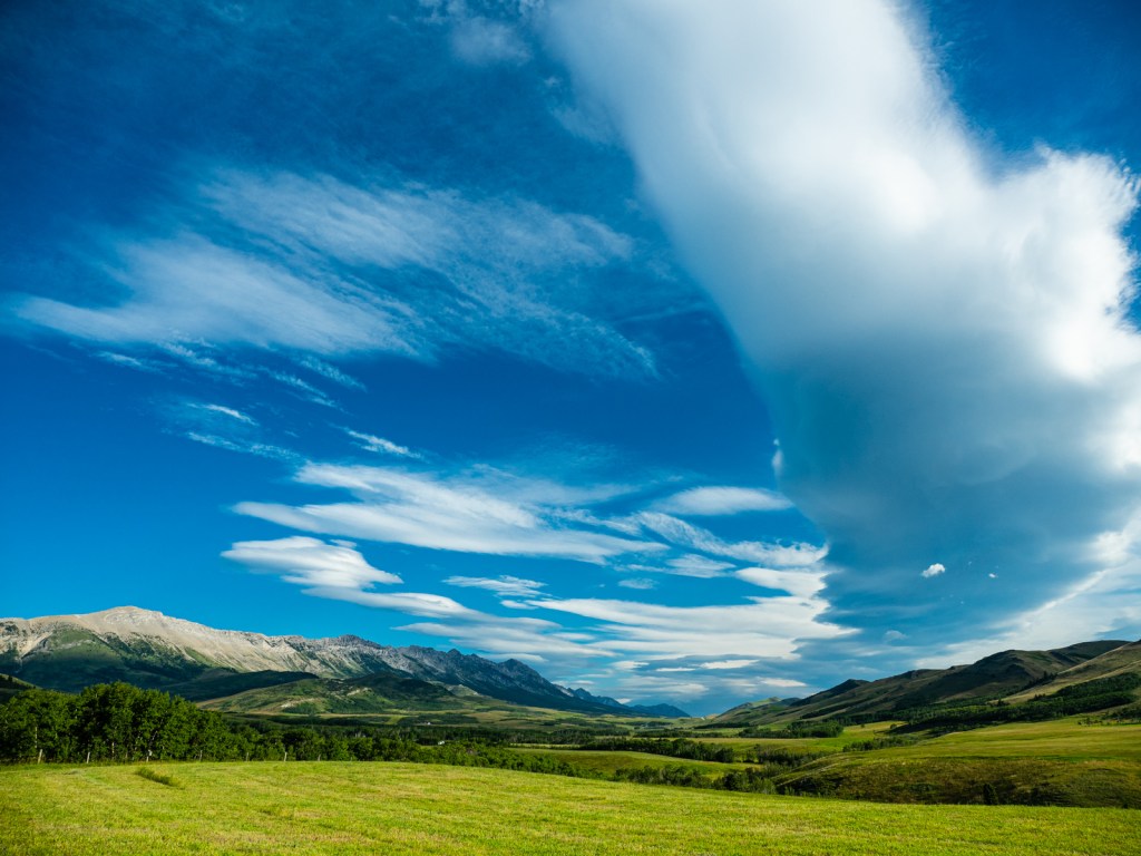
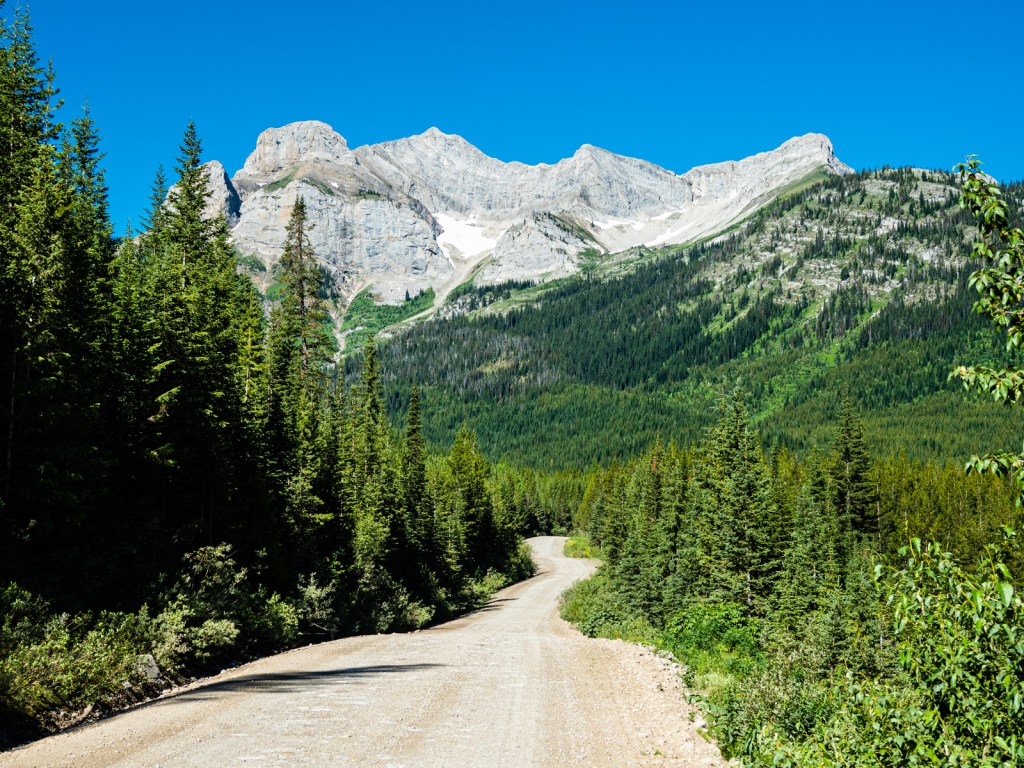
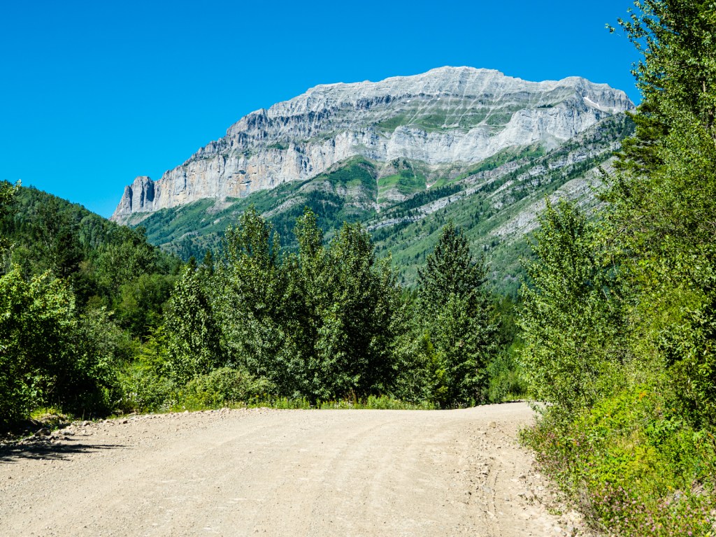
My first stop Monday morning was the general store in Beaver Mines. I grabbed a delicious sandwich and some baked goods and head off into Castle Provincial Park. This was a highlight of the trip – smoot dirt roads cut into the edge of the Rocky Mountains, the endless Prairies to my left and the mighty Rockies dominating to the right. I wondered what it must have been like for the first people to witness this landscape, especially if they were coming from the east. I imagined how spectacular and impenetrable the Rockies must have seemed after months crossing the Prairies.
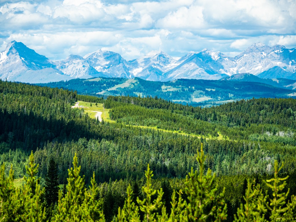
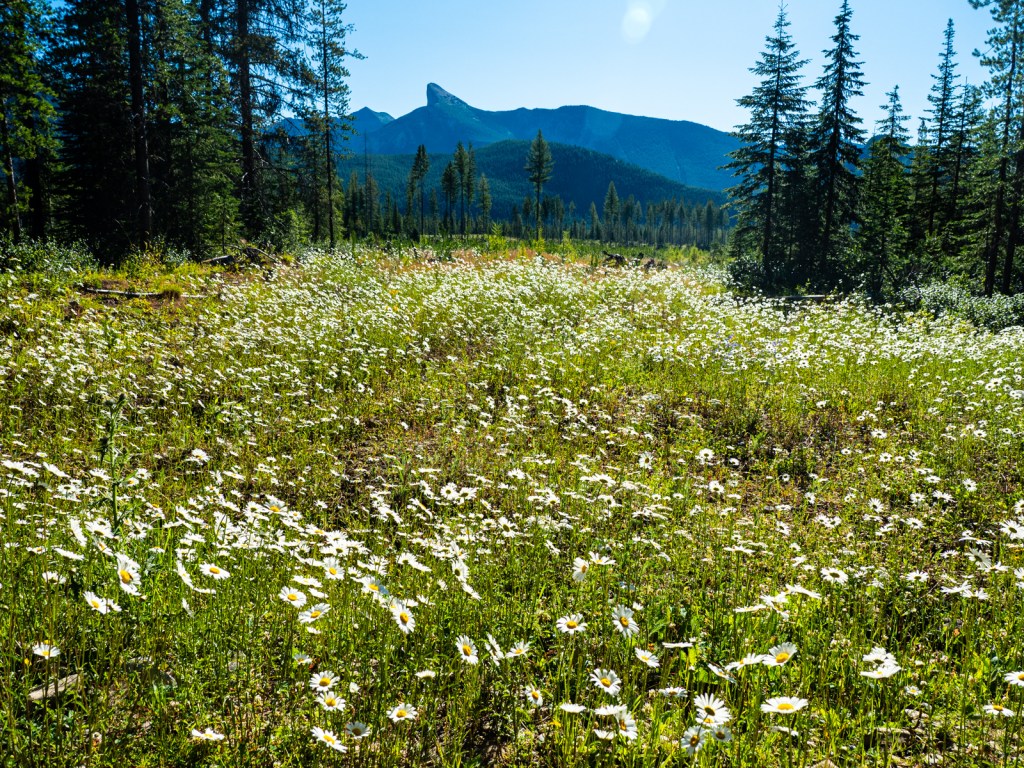
I enjoyed this wondrous terrain as I climbed back up to 1,700m, the road topping out at the base of an alpine bowl. Below were rugged ranches, a natural gas refinery, and windfarms stretching out through the foothills of southwest Alberta. I was hoping to reach the edge of Waterton National Park, but as I was coasting back downhill, I passed a day-use area called Bathing Lake. Hot and sweaty, I couldn’t resist. I slammed the brakes and pulled in. It was just my luck that four girls beat me there and were already in the lake topless. Once they left, I had the spot to myself. It was too nice to leave, so even though it was day-use only, I set up camp for the night.

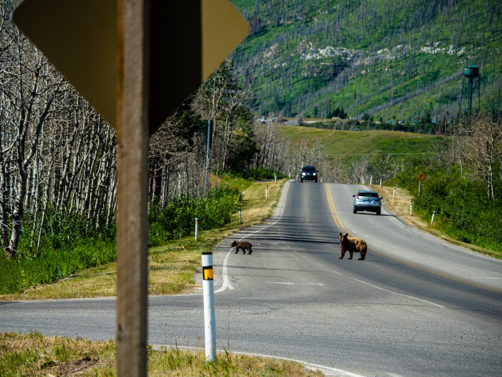
In the morning I pedaled into Waterton National Park, the only obstacles being a fierce headwind on the access road and a mama bear and cub that decided they’d like to use the bike path. I wanted to do an overnight hike and was fortunate to get the last backcountry campsite available. I found a place to store my bike, transferred my camping gear into my backpack, and set off – but only after enjoying a burger and pint for lunch.
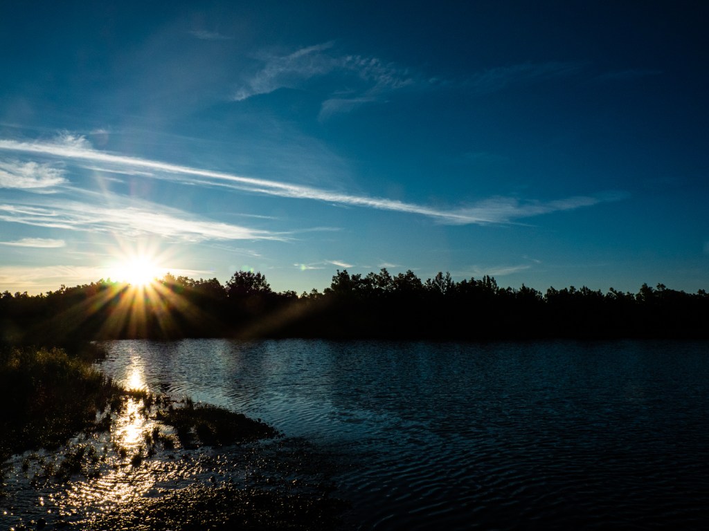
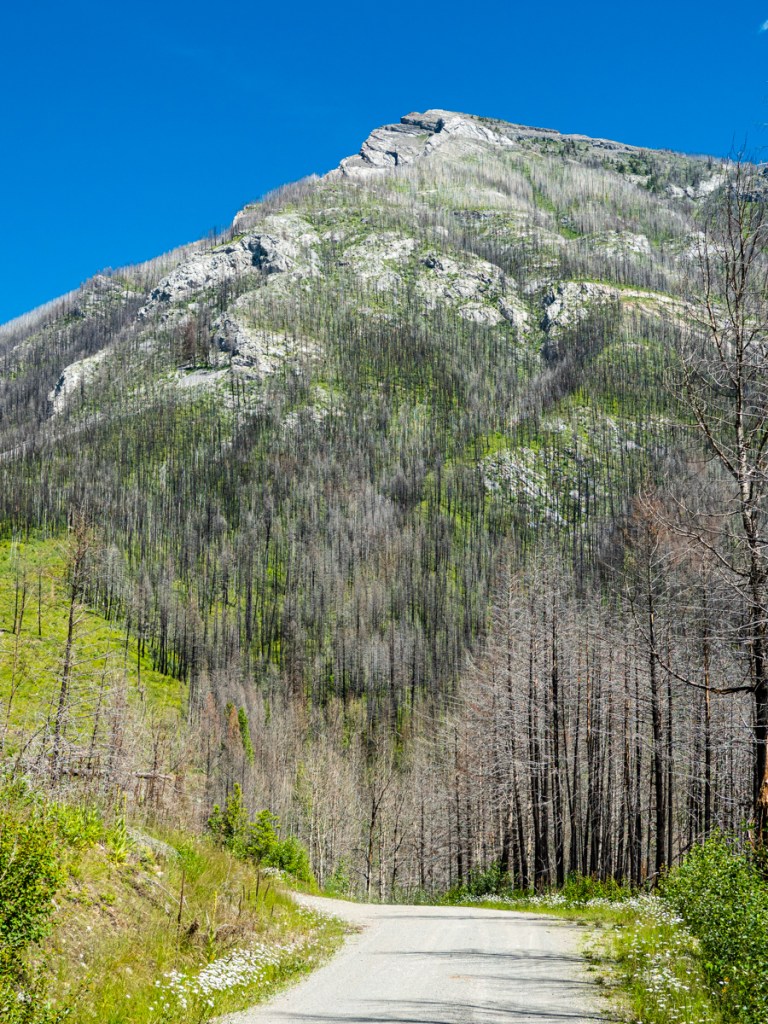
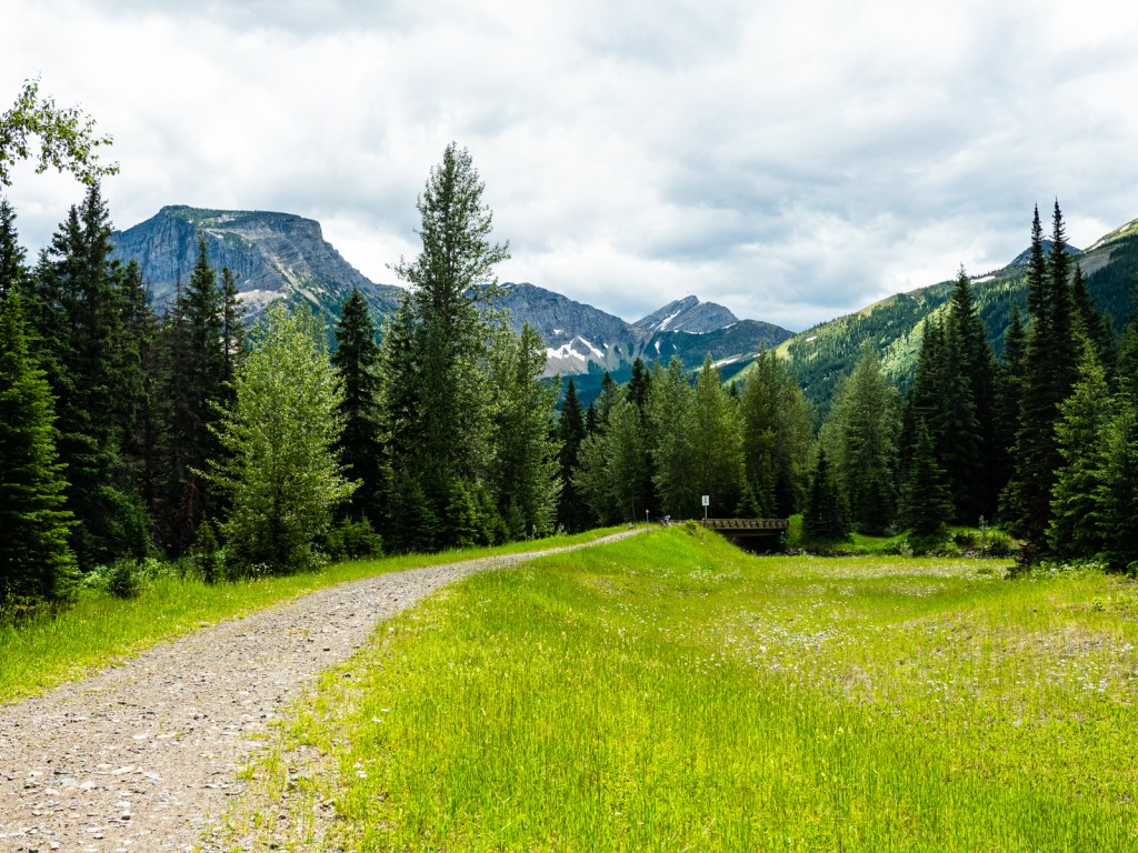
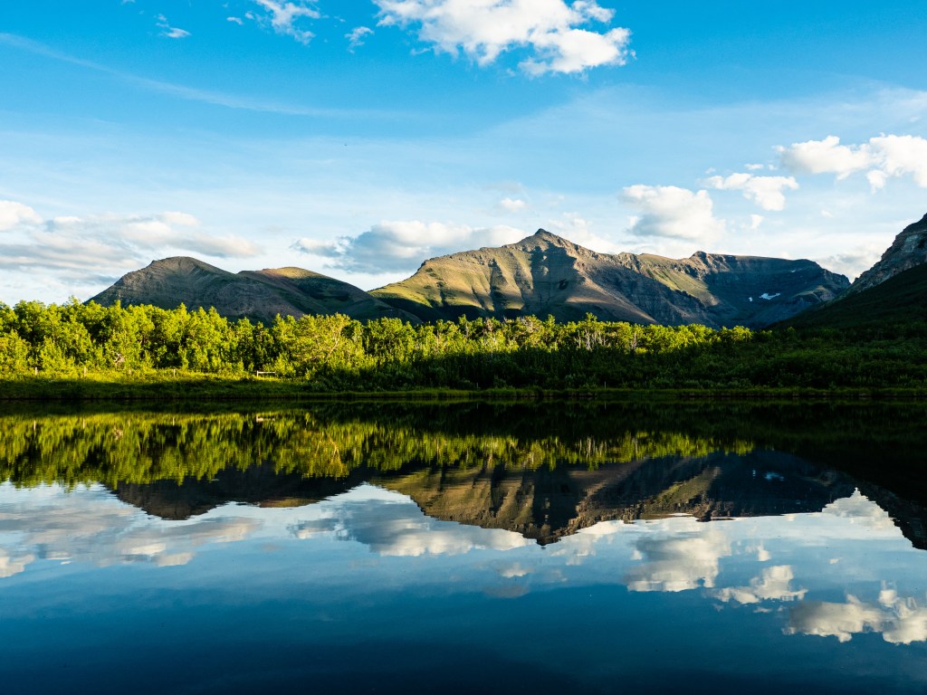
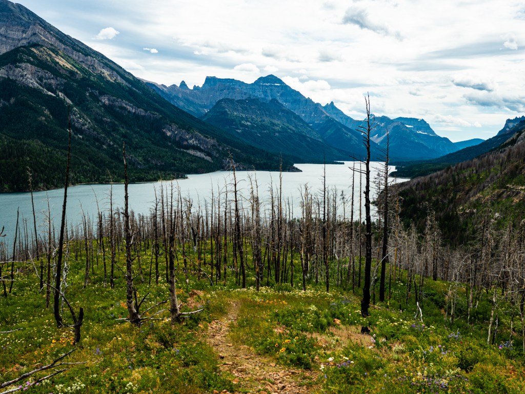
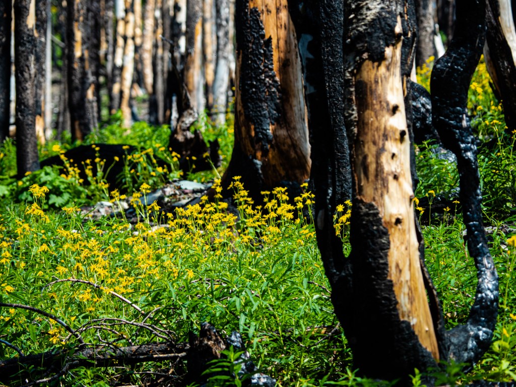
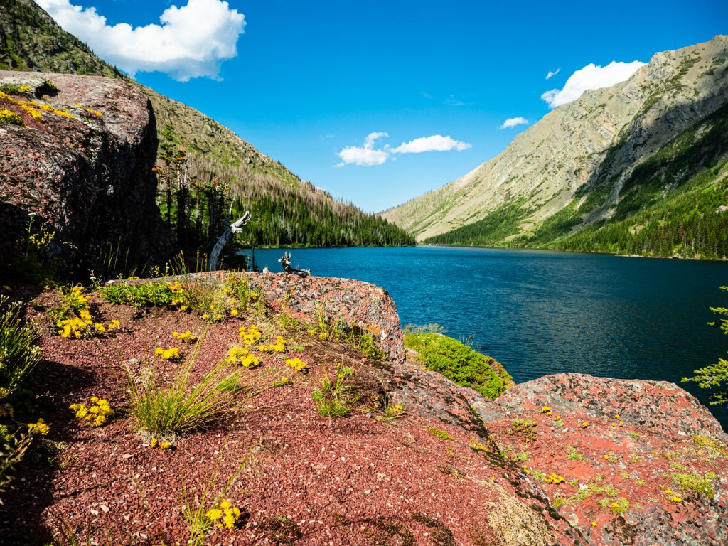
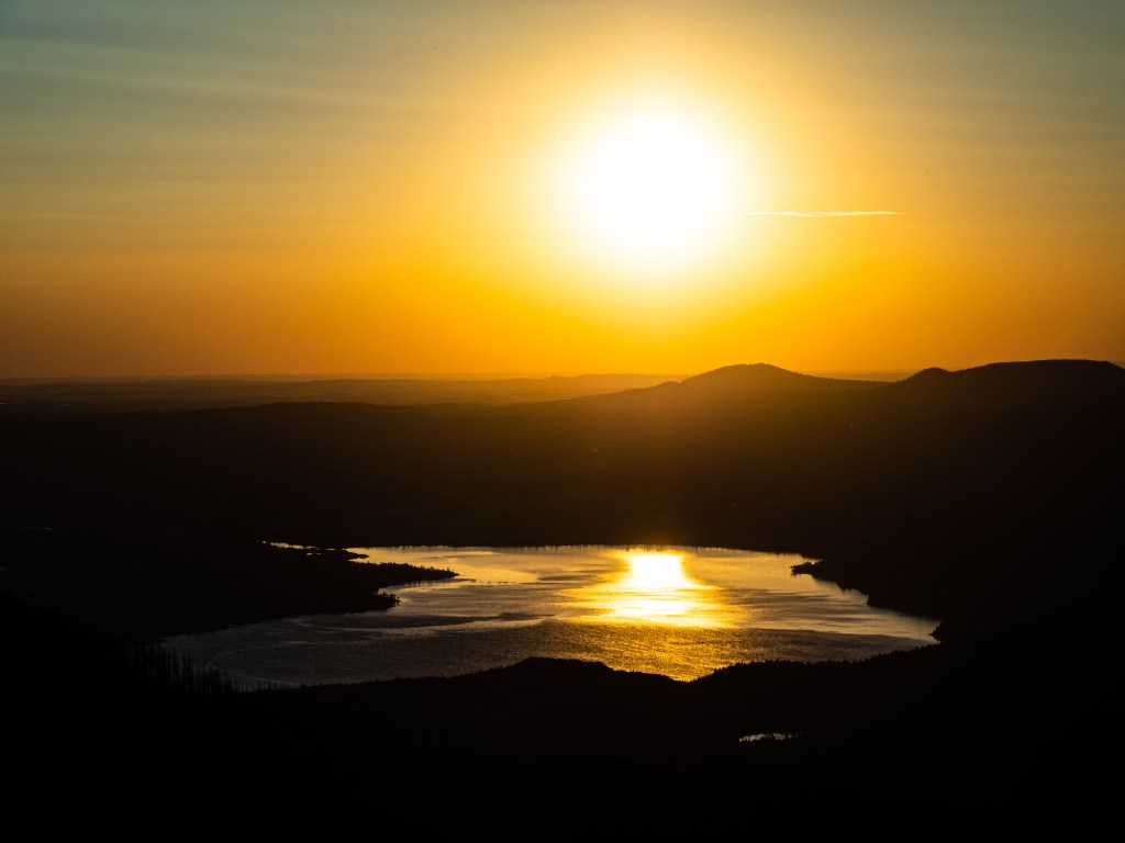
I made my way up to Bertha Lake through the remnants of the Kenow wildfire that devastated the park in 2017. It opened up the views as I climbed above Waterton Lake, past Bertha Falls, to the lake above. The lake was surrounded by steep slopes and big rock faces, but the highlight was the view from the tent site, which looked out over the Waterton Valley to the Prairies beyond. The next morning I was treated to one of the greatest sunrises I’ve ever witnessed.
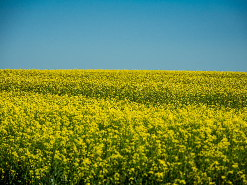
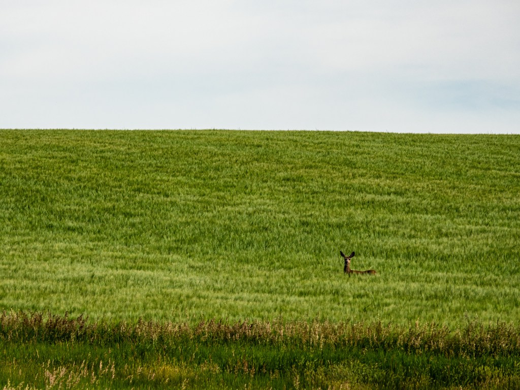
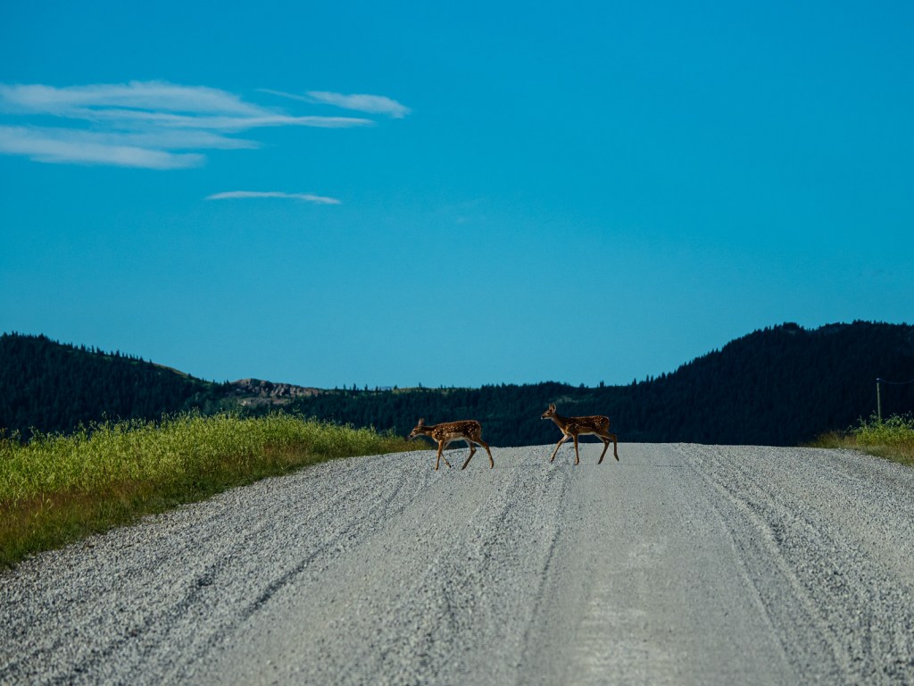
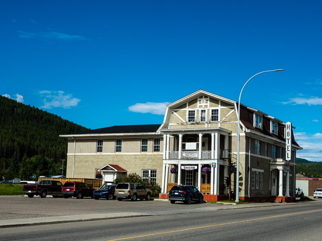
I was up early because I wanted to get back on my bike quickly. The forecast was calling for a high in the 30s and I didn’t want to be out in the Prairies during the heat of the day. I skipped breakfast, hustled down the trail back to my bike, and was ready to go by 9 a.m. I followed a network of range roads through rolling farmland of the foothills. Once again, I had endless Prairies to my right, though the mountains were considerably father off. I pedaled between golden yellow fields of Canola while deer occasionally pranced down the road ahead of me and into the fields. It was a pleasant day, made easy by a tailwind until I turned onto the highway to Pincher Creek and battled 10 kilometres of headwind into town. I found a cheap motel, showered, went grocery shopping, bought some beer, did my laundry, ordered a pizza, and slept reasonably. Many years ago, I interviewed for a job at the Pincher Creek newspaper; after my quick stop in the town, I’m glad I wound in Revelstoke instead.
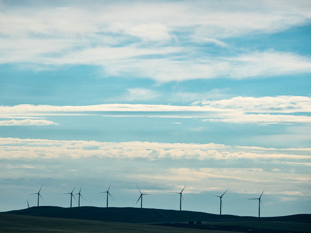
I woke up the next morning knowing I had 300 kilometres to go in three days to get back to my car. I decided to push hard for two days, so I could have a relatively easy final day and get home in daylight. I underestimated just how hard I would have to push. Thursday started with a nice pedal through the Prairies under the watch of wind turbines that spun high above. The road took me into a pleasant farm valley as I climbed into the Porcupine Hills. Up I went, a lone cyclist amongst numerous dirt bikers and ATVers. Up and up I went all morning and into the afternoon. I was looking forward to the downhill on the other side.
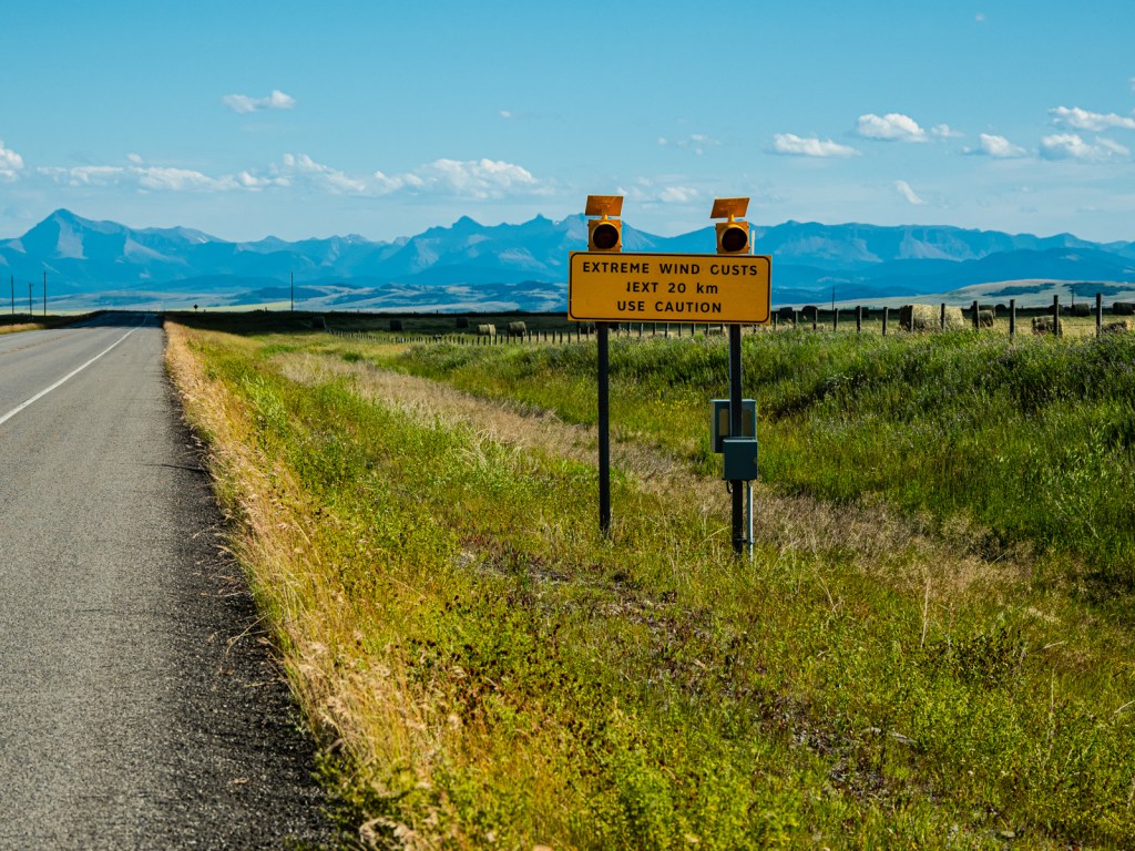
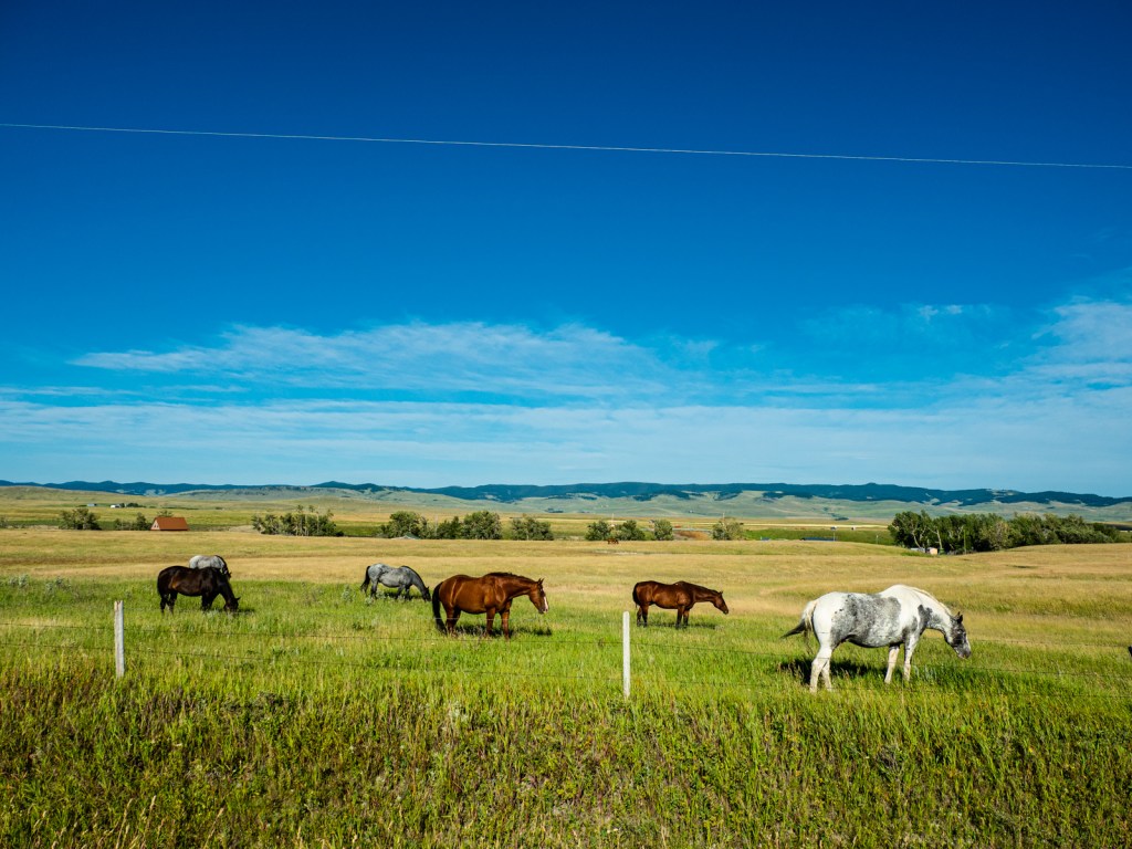
As I turned out of the hills and started heading back southwest, I was hit by the full force of the winds of southwest Alberta. This was no fun and carefree coast; instead I was forced to pedal hard to maintain my momentum downhill. After a tough morning, it was extremely frustrating and to make matters worse, I sprung another leak in my front tire. I continued to battle the wind as I crept slowly to Highway 22. It’s hard to convey how crushing it was that after all that climbing, there was no reward of a wild descent. What goes up must come down, by I would have rather kept going up. I had to work hard for every metre and I just wanted it to end. I wanted to enjoy the views of the foothills as they butted up against the fortress beyond; the sprawling fields and herds of cattle and scattered forests, but I couldn’t. All I could think about was the wind.
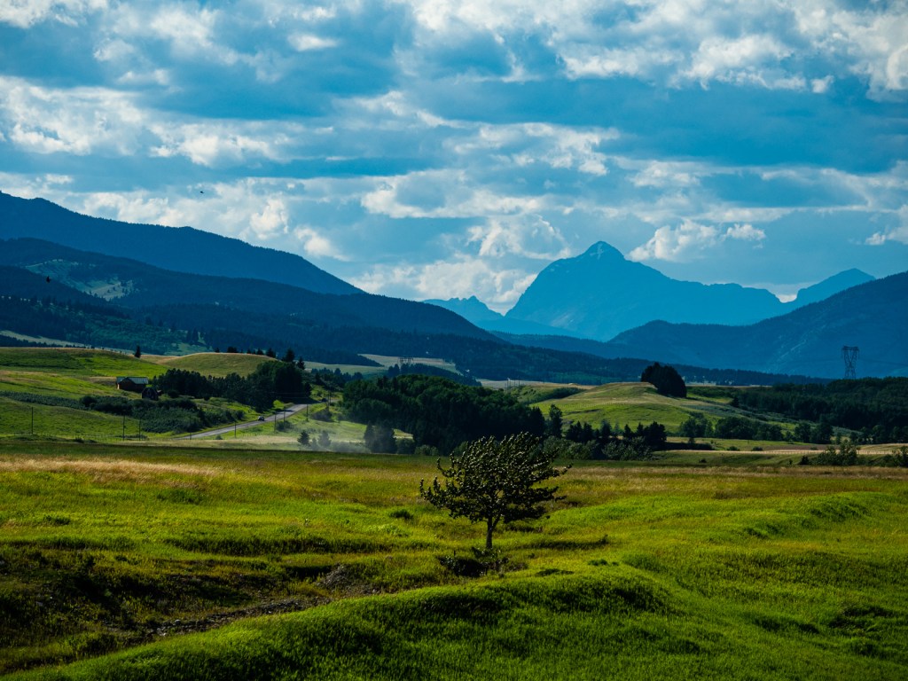
Eventually I reached a campsite by the highway, but it was noisy, lacked shade, and there was still lots of sunlight left so I kept going into the wind. I reached the Willow Valley Road and followed it to the edge of the Livingston Range – the easternmost range of the Rockies. The valley was incredible – an Eden of rolling ranches separated from the world by the Rockies and some large hills. I rode through the golden hour until I finally found a gate that didn’t have a no trespassing sign. I went through, found a hidden spot and set up camp in one of the few spots not covered in cow dung. After 105km, nearly 1,400m of climbing, and some brutal headwinds, I was happy to lay my head. I thought I could sleep without the tent fly on, but the wind had other ideas. It roared most of the night, impacting my sleep and dashing my hopes of a calm morning.
I was up early the next day, keen to get going before anyone found my camp spot, just in case some people or cows came by. I resigned myself to a day battling headwinds as I crossed back into B.C. and adopted a Zen-like attitude. Rather than fight them, I would accept their presence and enjoy their cooling nature. I would pedal my usual cadence and accept a much slower speed.
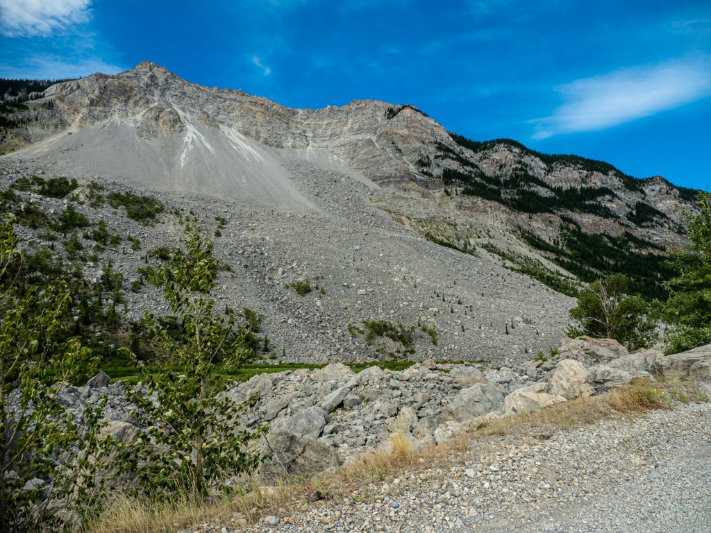
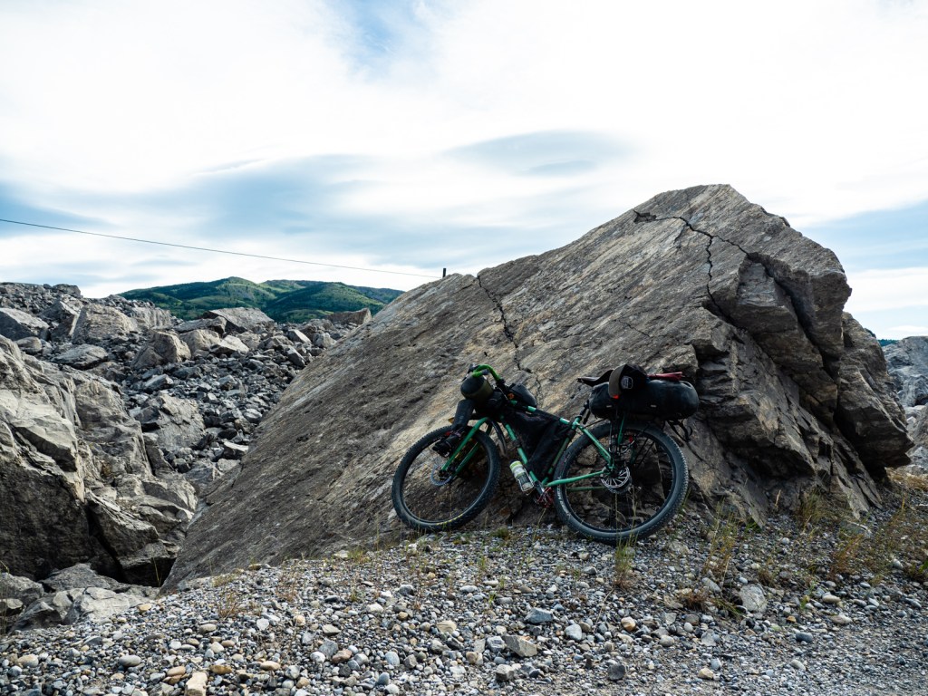
The sun cast long shadows over the fields as I cruised downhill to the Crowsnest Highway. I escaped the highway briefly to take a side road that went right through the Frank Slide, and re-stocked on food before crossing back into B.C. – headwinds the whole way. My Zen approach helped and I was much more relaxed than the previous afternoon.
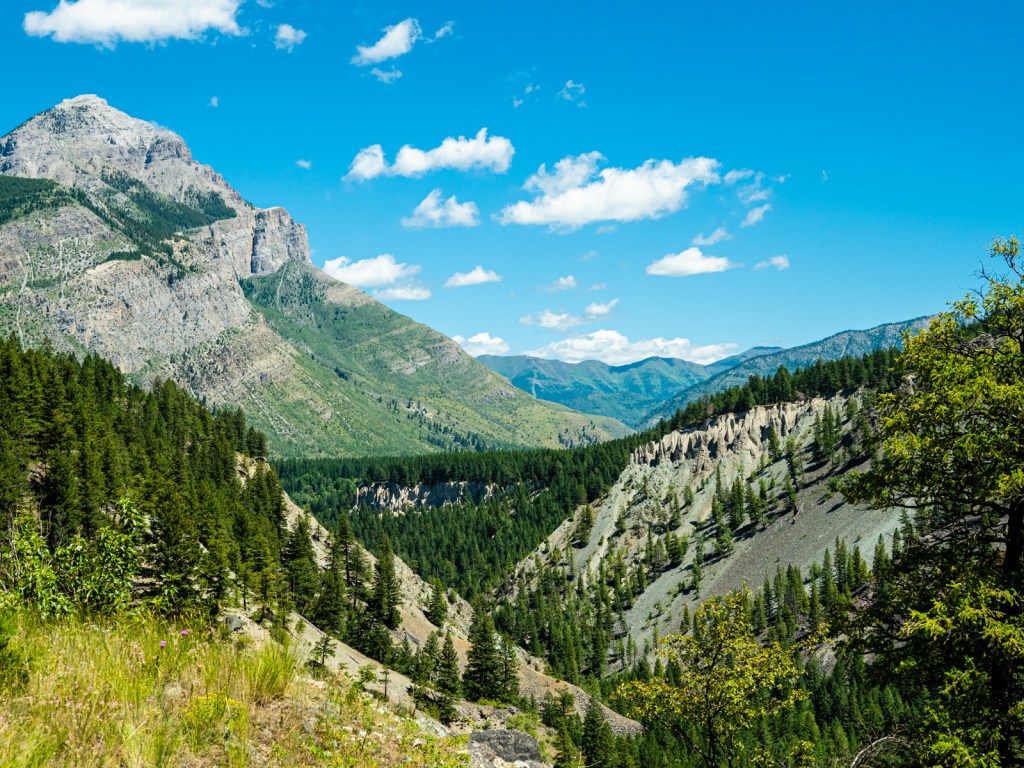
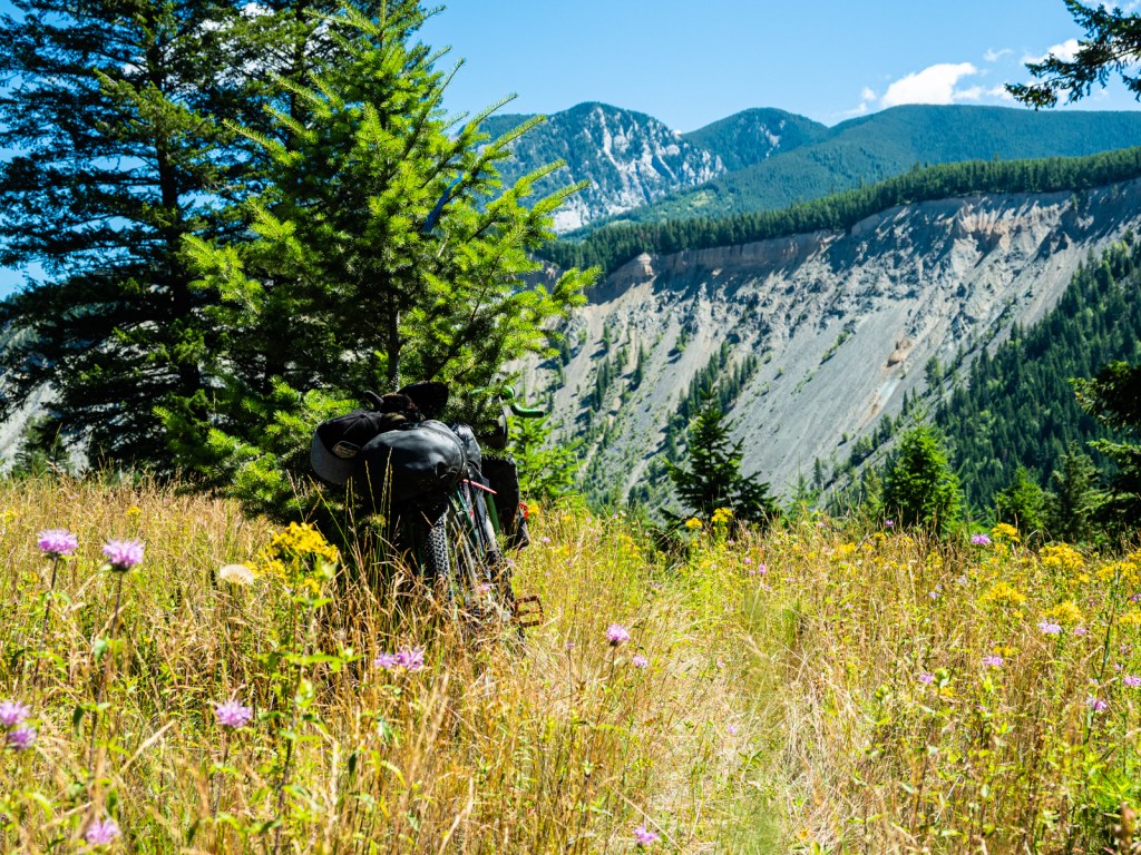
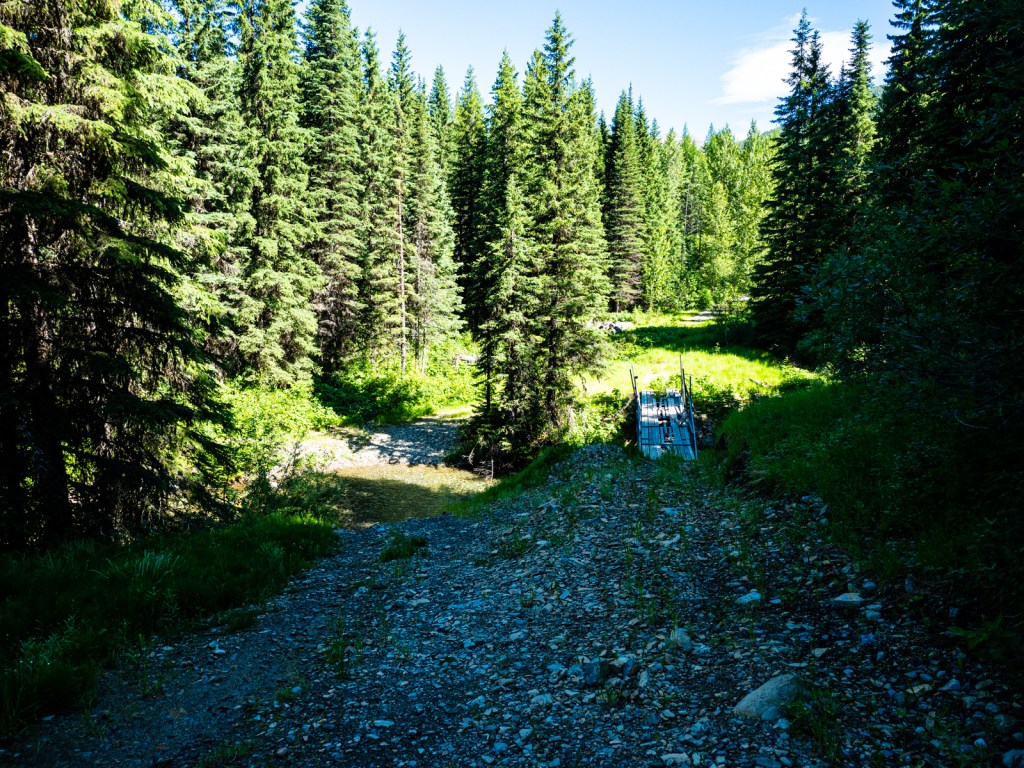
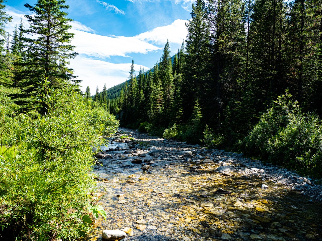
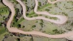
I turned off the highway onto Corbin Road towards Teck’s massive Coal Mountain operation. I passed the mine, where they busy removing the mountain, and reached the dirt road. The climb to Flathead Pass was gradual and it was nice to be free of a headwind. On the way up, some ATVers warned me the road had turned into a creek on the other side. I wasn’t too concerned, but I should have been. On the way down I battled several kilometres of running water and boulder-strewn road surface. One-hundred kilometres into the day, I was spent. What I thought would be a fun downhill to camp was instead a massive struggle as I had to walk sections through the creek, fruitlessly trying to keep my feet dry. After pedaling downhill into a wind yesterday, it was even more discouraging to have to walk downhill. The views of the Continental Divide as I crested the pass were amazing, but I was too tired to really enjoy them. I just wanted to get to camp. I finally pulled in after 120 kilometres and 1,350m of climbing, most of it into a headwind. I started a fire and enjoyed the last few beers I’d been lugging since Pincher Creek.

I woke up early Saturday for the final push back to my car. I tackled the final big climb quickly and had a rollicking time on the way down the other side. A few more kilometres of ups and downs and I was back in Elko. The trip was amazing and I’d recommend it to anyone. Southwest Alberta was amazing and I’d love to do more riding there.


Leave a comment