Relentless. It’s one of my favourite words. I often pre-curse it with the f-word – they just fit so well together.
As I rode from my campsite above Angamarca on Wednesday, Nov. 29, to Salinas de Guaranda (or de Bolivar, depending on which source you use), all I could think of was how “fucking relentless” the hills were. Just a constant series of steep climbs, followed by short but steep descents that inevitably resulted in more “fucking relentless” ascents. In total, in about 50 kilometres of riding, I gained more than 2,500 metres of elevation. I’ve done lots of climbing on this trip, but none have taken so much out of me as these climbs. And when there was a nice long downhill, it was punctuated by a section of technical single track that I had to walk my over-loaded bike down. @#$*!

Downhill hike-a-bike is not what I had in mind after a series of punishing climbs.
The last four days of riding started in Lasso, a small village along a collector road off the Pan-American Highway just outside Cotopaxi National Park. I had a lazy start, knowing I only had 45 kilometres of riding ahead of me, most of it a gradual climb followed by a much shorter, steeper descent to the village of Isinlivi, where I heard there was a great hostel and planned on taking a day off.
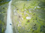
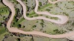
The ride started on pavement as I crossed the Pan-American and made my way west. It gained elevation slowly but steadily, and the route I was following (the Trans-Ecuador Mountain Bike Route – Dirt Road Edition) eventually turned off onto a cobblestone road that thankfully gave way to a sandy road mostly devoid of traffic. The scenery was idyllic – quilt-like fields covering every mountainside imaginable. It was planting season, so the colours were more brown and yellow than green, but it was still very distracting and pleasing while I climbed to 4,000 metres.

Farms covered every inch of ground.

A five-way junction. Really? My map only showed two, but fortunately I guessed right.

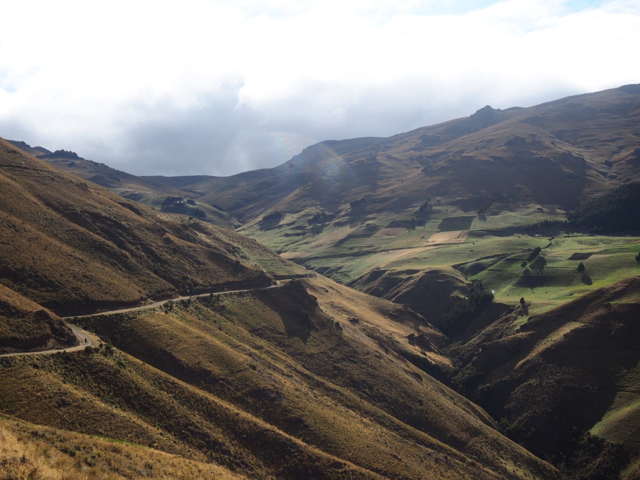
Another valley covered in farmland.

Farmers sow the fields.
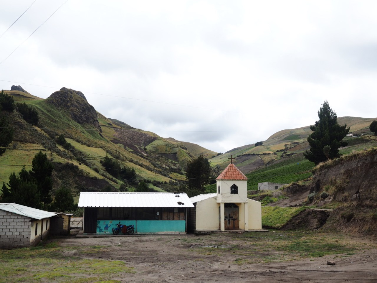
A rural church high in the mountains.
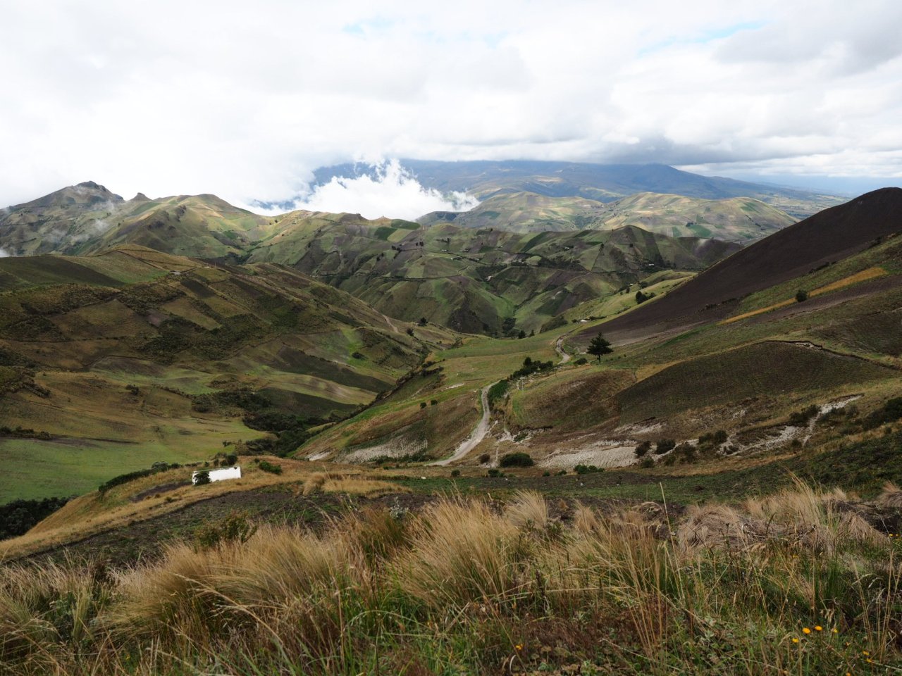
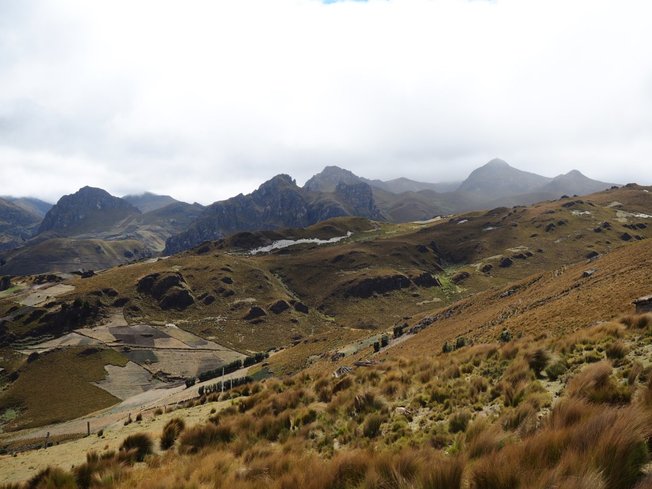
Stunning views from the top of the climb.
The climb was long, but never too steep and other than a bit of sand, was pretty easy going. I was greeted by children and chased by dogs; one group of four kids ran out to the road to wave to me, but when I stopped to take a picture, a pack of dogs came running out and chased me away. Trust me – they were really cute (the kids, not the dogs).
I reached the pass and descended into the next valley. Clouds from the Pacific butted against the mountains and I rode down into a thick fog. It could have been an awesome descent, but the lack of visibility and the constant twists and turns had me squeezing the breaks. Eventually I broke out of the fog and could see my destination – the tiny village of Isinlivi, one of the destinations on the Quilotoa hiking circuit. I pulled into the Taita Cristobal Hostel and got a private room for $15, including breakfast and dinner. It was clean, comfortable and there was a good crew staying there consisting of a Canadian, Irish, English couple and three French (who made themselves crepes for dessert while us English speakers played cards). I booked in for two nights, sticking to my goal of taking more frequent rest days, and this was day four in a row of riding for me after leaving Quito.

Clouds roll into the ridge at the top of the climb towards Isinlivi.
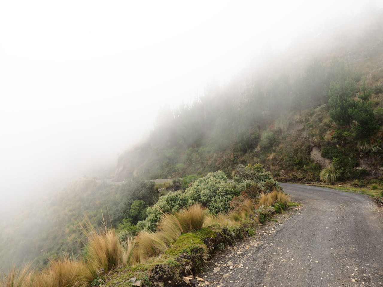
Descending into the fog.

Looking down on Isinlivi.

No matter how small the town, there’s always an impressive church.
I woke up the next morning earlier than I wanted, but I also didn’t want to miss breakfast. Everyone else staying at the hostel was heading off on the second third of the Quilotoa Trek, so breakfast was at 7:30. The trek starts in Sigchos, which is reachable by bus, and goes to Isinlivi, Chugchilan and, ends at Lake Quilotoa. It’s three days, with about 10-13 kilometres of hiking per day and seems to be gaining in popularity amongst backpackers, and is helping to foster a small local tourism industry.
My day was spent doing nothing. The morning was glorious and sunny, but I decided to take it easy before going out for a walk. Of course, by the time I rustled myself from my blog writing, the clouds had come in and I lost my motivation to go for a hike. Instead, I cooked a big lunch and got some more writing done. I’m almost ashamed to say I didn’t leave the hostel grounds all day. That night, the only other guest was a British actor who’d been living in Spain, Steven Jeram, and who I’m making not of in case he becomes famous one day 🙂 But really, we had a good conversation about traveling, climbing mountains and Spanish politics before heading to bed.
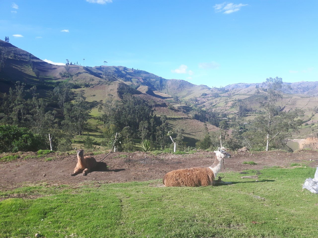
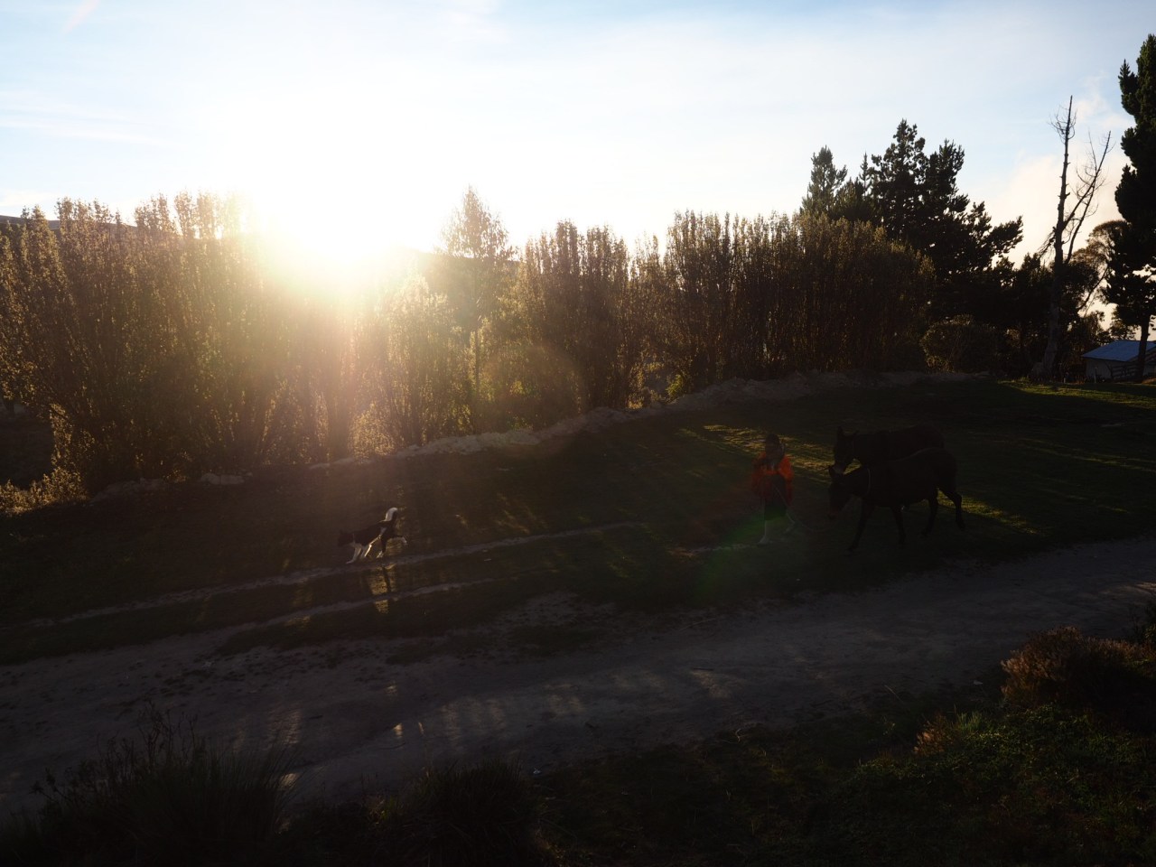
The hostels resident llamas.
I was off to Lake Quilotoa the next day via a route that followed a canyon along the east side of the crater. The area was surprisingly dry and dusty, with the occasional cactus lining the road. It was a relatively short day – about 4.5 hours in the saddle before I reached Quilotoa village at the top of the crater. Lake Quilotoa is beautiful. It sits in the crater of an extinct volcano and the locals hold it sacred and believe its bottomless. The shores of the lake shone green in the afternoon sun and after admiring the view for a bit I spent an eternal time debating whether to stay at a hostel at the top of the crater, or descend to Zumbuhua below and save myself some riding the next day. In the end, I opted for the former, hoping to catch a beautiful sunrise (which I promptly slept through). I did, though, catch the sunset.

My only company on the ride to Quilotoa was the occasional local transport truck.

The ride took me in and out of the Toachi River canyon.

Lake Quilotoa in the afternoon light.
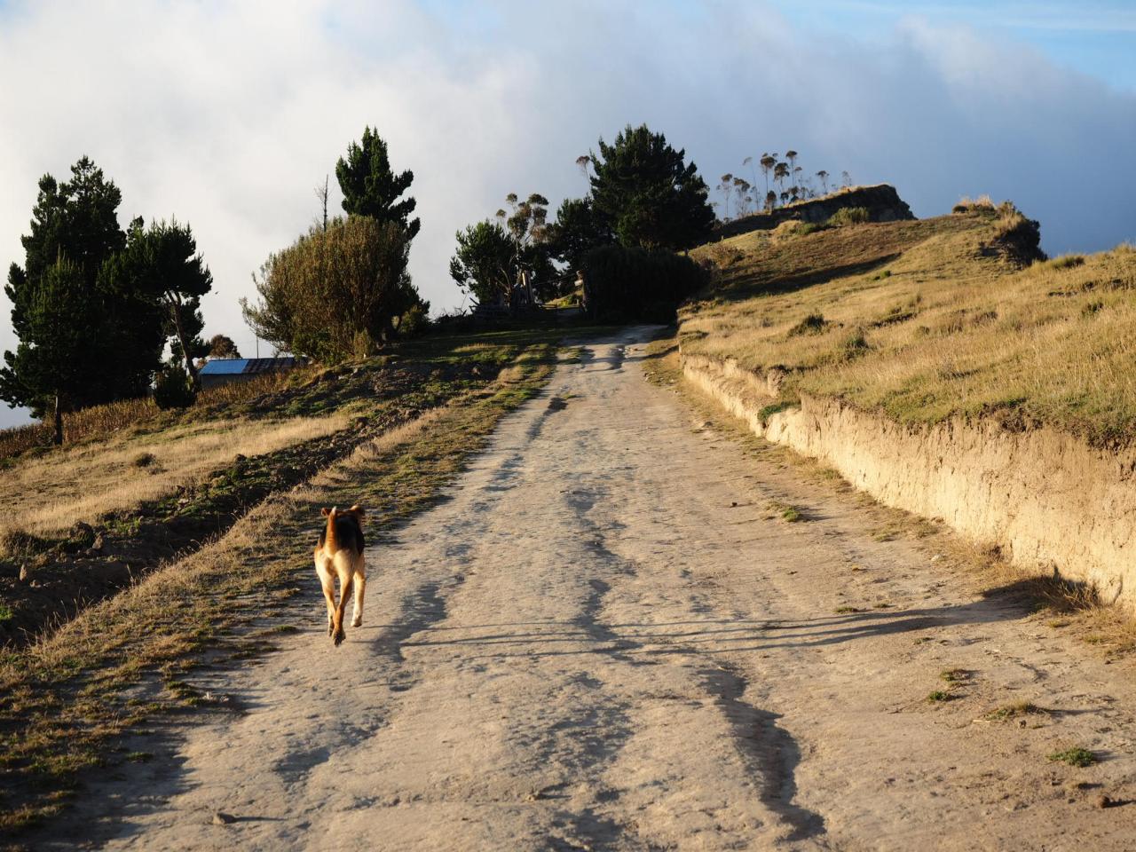
A dog runs down the road in the golden hour.
Sunset from the rim of the Quilotoa Crater.

Clouds roll into the crater at dusk.

Lake Quilotoa in the morning.
After a relatively easy set of days riding (I don’t think I topped 50K over the previous five days in the saddle), I set out the next day with the ambitious goal of pedaling 130 kilometres with almost 5,000 metres of climbing over the next two days. It started with a paved descent to Zumbahua, where I overloaded on snacks, and was followed by a gentle paved climb to where I turned off towards Angamarca. The next 20 or so kilometres were some of the most scenic of the trip as the road rolled up and down through a mix of open alpine and farmers field, where sheep and llamas grazed and gave me puzzled looks. I enjoyed a tail wind and was able to cruise along until I reached the top of the last climb and the long descent down to Angamarca.

The canyon on the way down to Zumbahua.

Zumbahua.
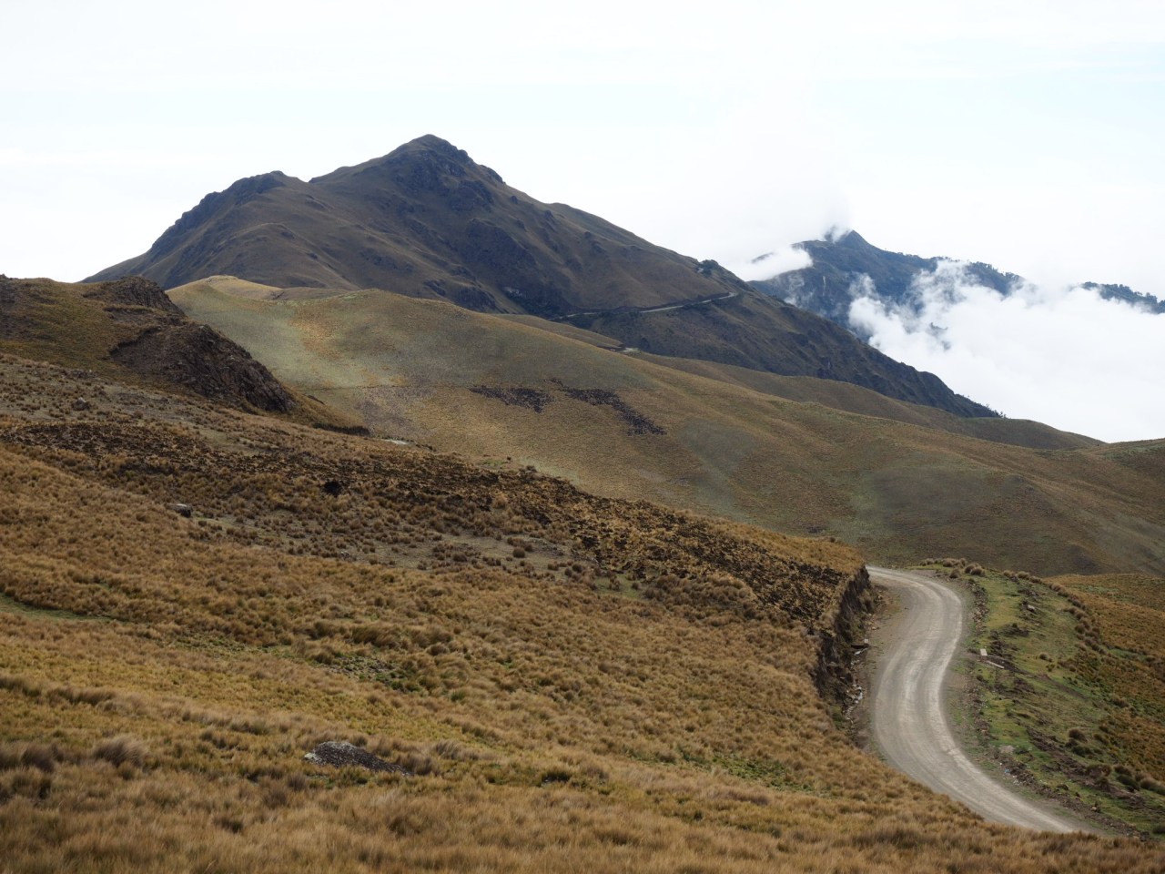
Riding at 4,000 metres through the paramo.

I’d been waiting a while to see some llamas grazing. These looked at me quizzically, but got back to eating grass by the time I got my camera out.
This road is one of my favourite of he trip – fast, smooth and incredibly scenic.

An abandoned church at the top of the final climb.
Everything changed as I crested the hill. The sun disappeared and I was enveloped in a thick fog. I could scarcely see more then 10 metres ahead of me for most of the 15-kilometre, 1,000 metre descent into Angamarca. It was slightly terrifying, especially when I realized full-sized buses plied this road.

I’m glad I was stopped when this guy came roaring up the hill.
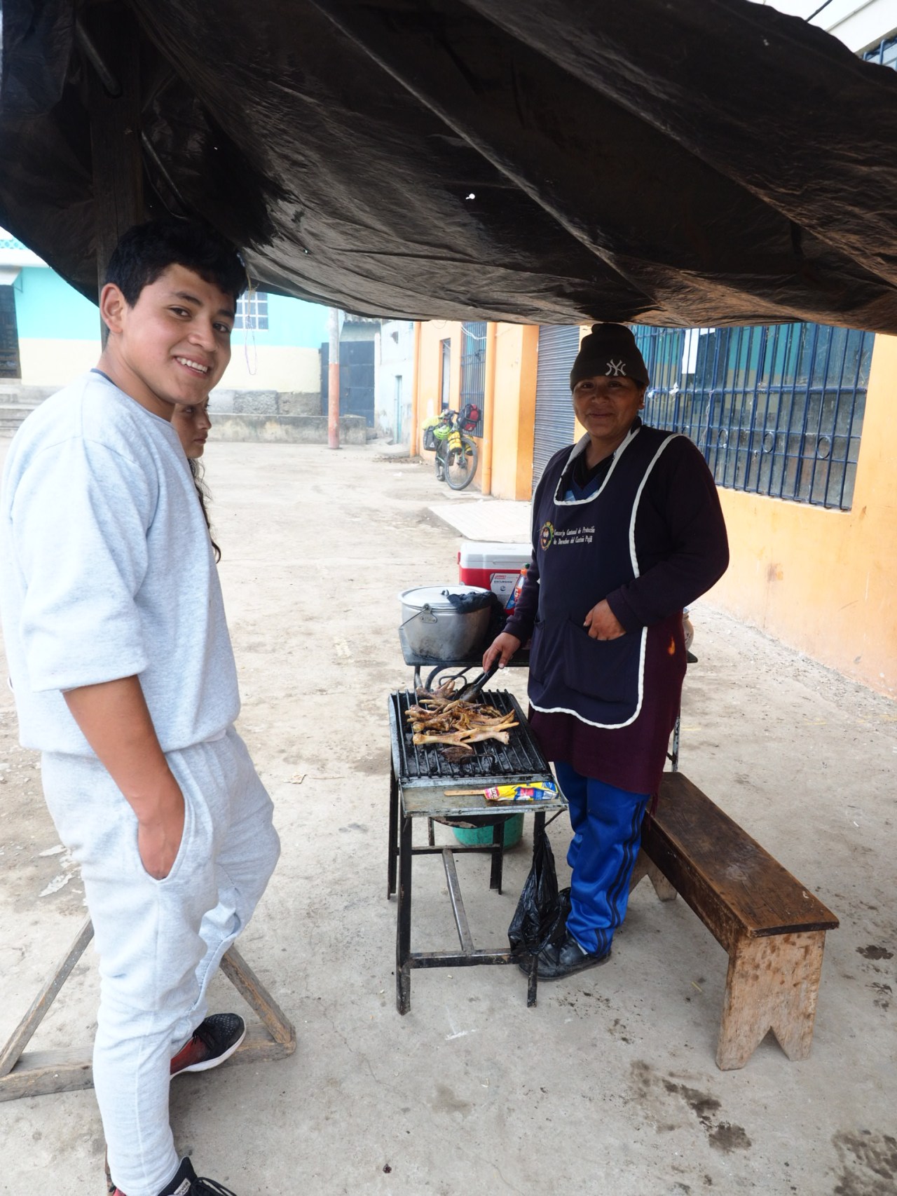
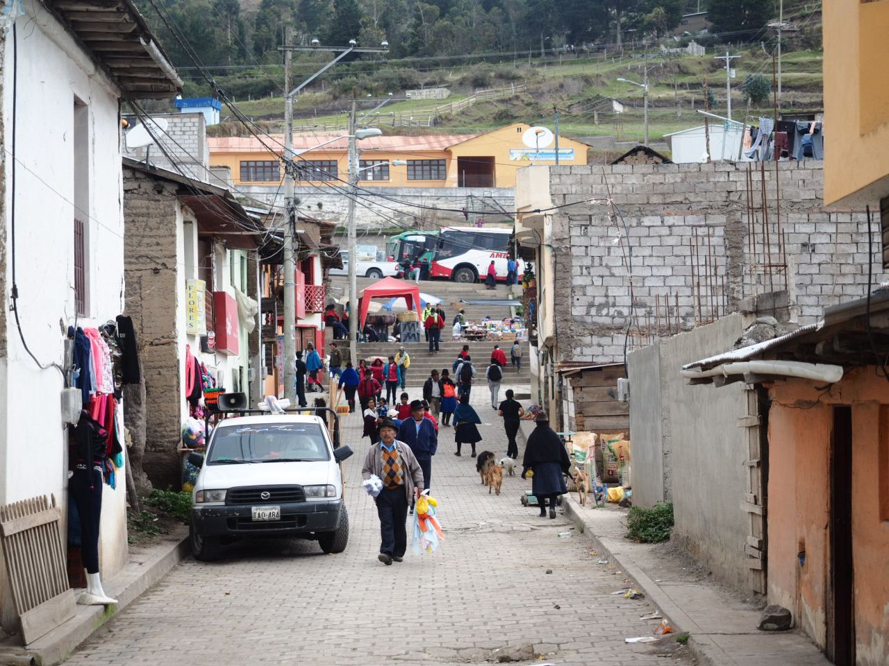
Angamarca wasn’t much – a few streets lined with concrete buildings covered in peeling paint. I rode into the central square in search of a restaurant, but instead only found a women selling grilled chicken feet. She also had a slab of over-cooked beef on the grill, so I took that and a bread roll and made myself a sandwich. I also tried some chicken feet, but found they were better snacks for the local dogs than for me. Then the owner of the lone restaurant in town approached me and showed me to his place – an unlit spot that I had not-surprisingly missed. He gave me a bowl of soup along with some eggs and rice. The soup was nice and thick with big chunks of chicken, but the main course left something to be desired. Still, I was thankful to get a proper meal because I knew what lay ahead.
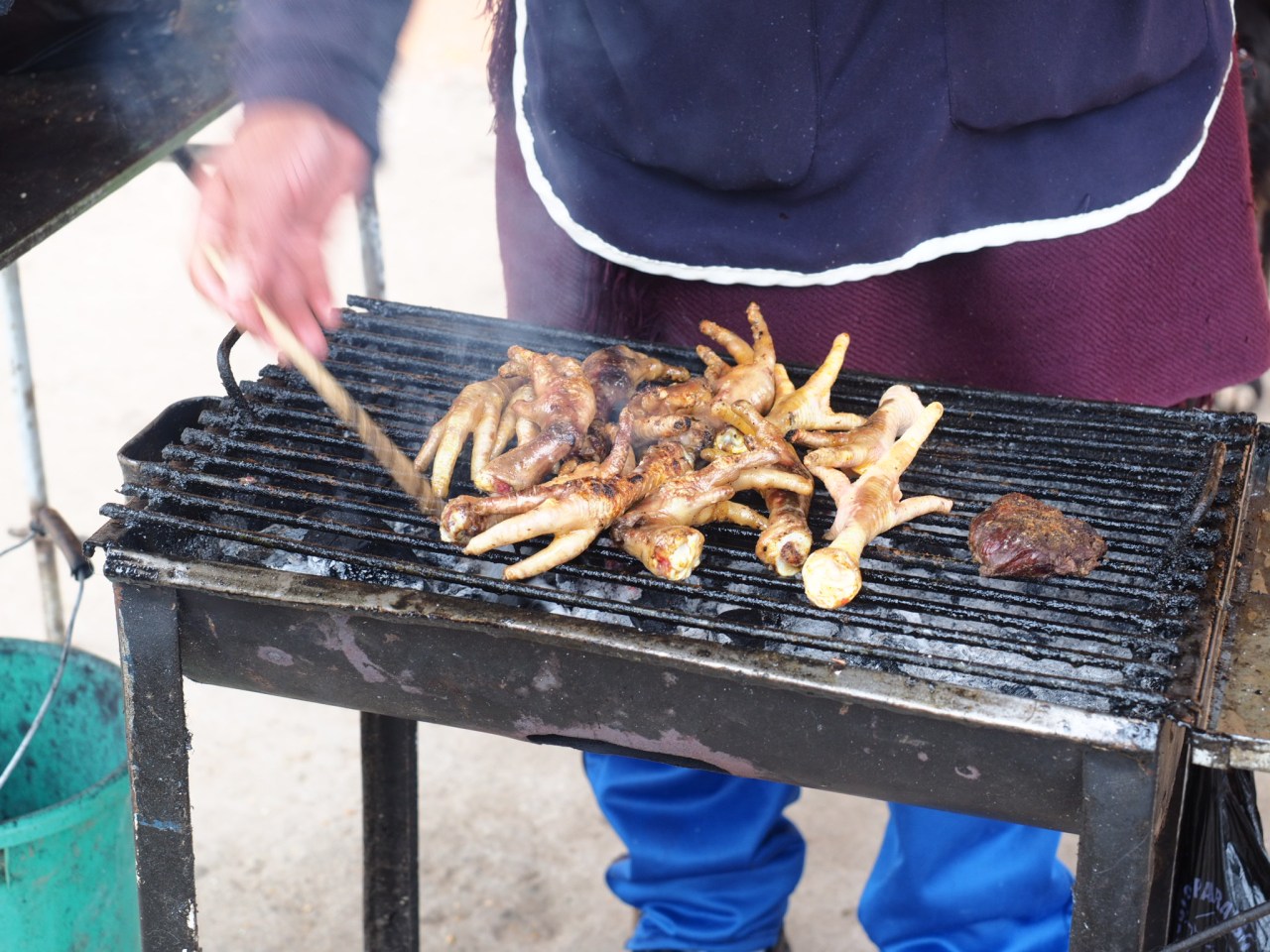
Chicken fete – the snack of choice for local kids.

School had just got out when I showed in town, and while most kids were flung away on buses, these guys stuck around.
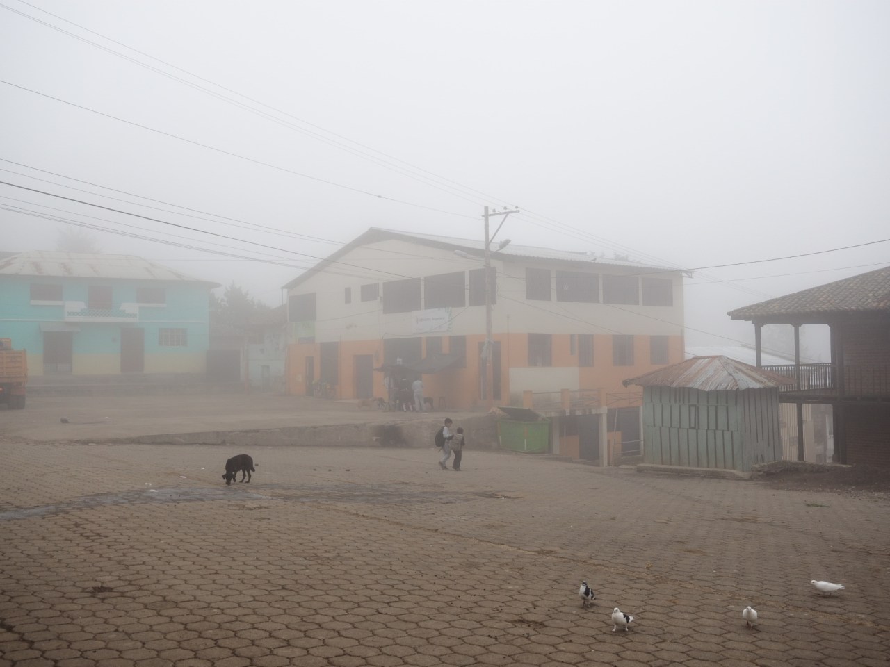
Angamarca’s misty town square. I wonder what it looks like when it’s sunny?
The TEMBR description warns of an incredibly steep hill after Angamarca and my GPS concurred – showing a 10 kilometre climb that gained 1,000 metres. It also showed some campsites partway up and my goal was to make it to one of them before dark. The description didn’t lie – the climb was punishing, with long, steep hills followed by occasional flat sections, and more relentless climbing. It didn’t help that the whole time I was enveloped in fog and could scarcely see more than 100 metres around me. Long climbs are OK when the views are there, but insufferable without those rewards. I ascended at a snail’s pace, secretly hoping that someone would pass by in a pick-up truck and give me a ride. I had no such luck and struggled upwards until I finally reached a flat spot, where I pitched my tent, cooked dinner and went to bed. I didn’t even take any pictures of this stretch.
The next morning I finished the climb – nothing like starting the day with a series of hills that approached a 20 per cent grade. I finished the first climb, enjoyed a short descent and was met by another punishing climb. As I said, it was fucking relentless. I did brake free of the clouds for short stretch, which bolstered my spirits, but it didn’t last, and I again found myself riding into nothingness, each steep downhill met by a steeper up. The relentlessness was interrupted when I ran into Lucas and Lena, to bikepackers heading in the opposite directions. We shared some stories and route notes before heading off in our respective directions.
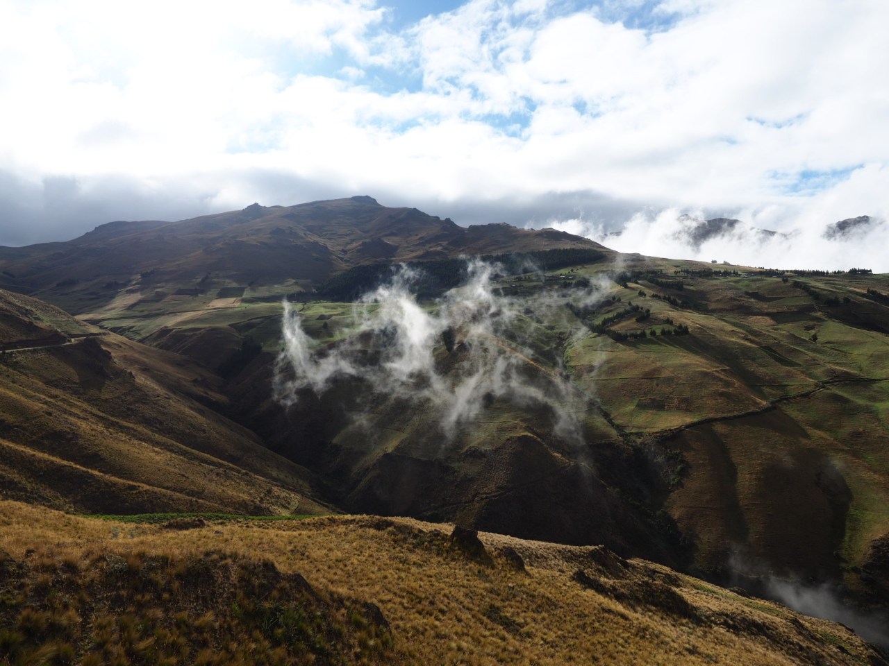
A rare view. Normally I was stuck in the clouds.

I could have used one of these guys this day – the donkey, not the boy.
This is the scenery I missed out when stuck in the clouds. Or maybe it was all terrible?
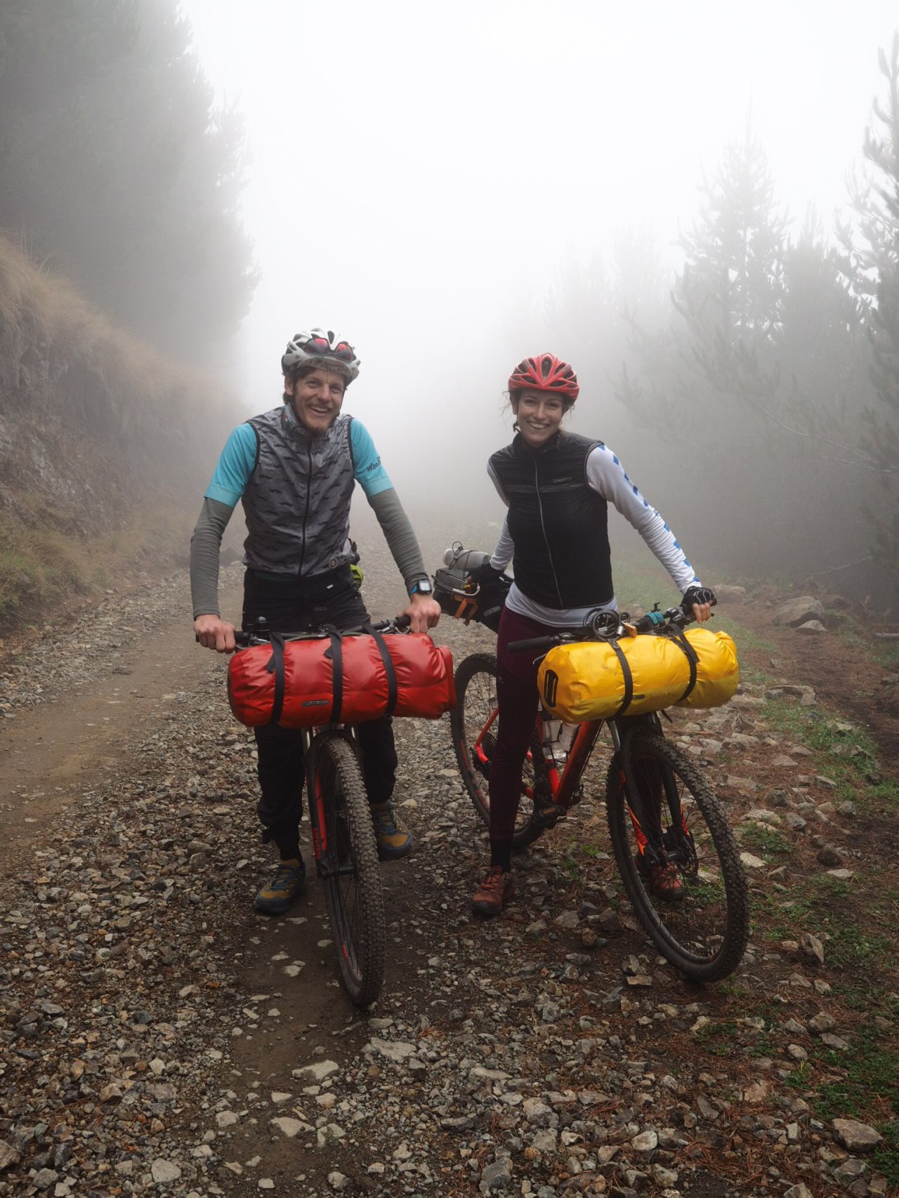
Lucas and Lena – bikepackers doing the TEMBR from south to north.

And off they go.
From there, I forgot how many grueling climbs I completed. I remember stopping by a bridge and watching a herd of sheep for a bit. At another point I gave up halfway up an unforgivingly steep hill and pondered my very goal. It wasn’t late, but I was doubting I would make it to Salinas. Thankfully, when I checked my GPS, it said I had less than one kilometre of climbing left, followed by a nice long down to Simiatug, where I planned to stop for lunch. I wolfed down my last chocolate bar, summoned my reserves and suffered my way to the top. Even the descent wasn’t perfect – it was interrupted by a few short climbs before turning off onto a rough track through a pasture. I cruised down some mellow single track, the kind that’s just right for my heavy set up. But then the trail took a turn for the worse, descending through a series of steep switchbacks filled with loose rocks that had me yearning for my mountain bike. Instead of an gentle cruise into Simiatug, I found myself walking my bike downhill. No one mentioned this section in the route description.

This looks like fun!
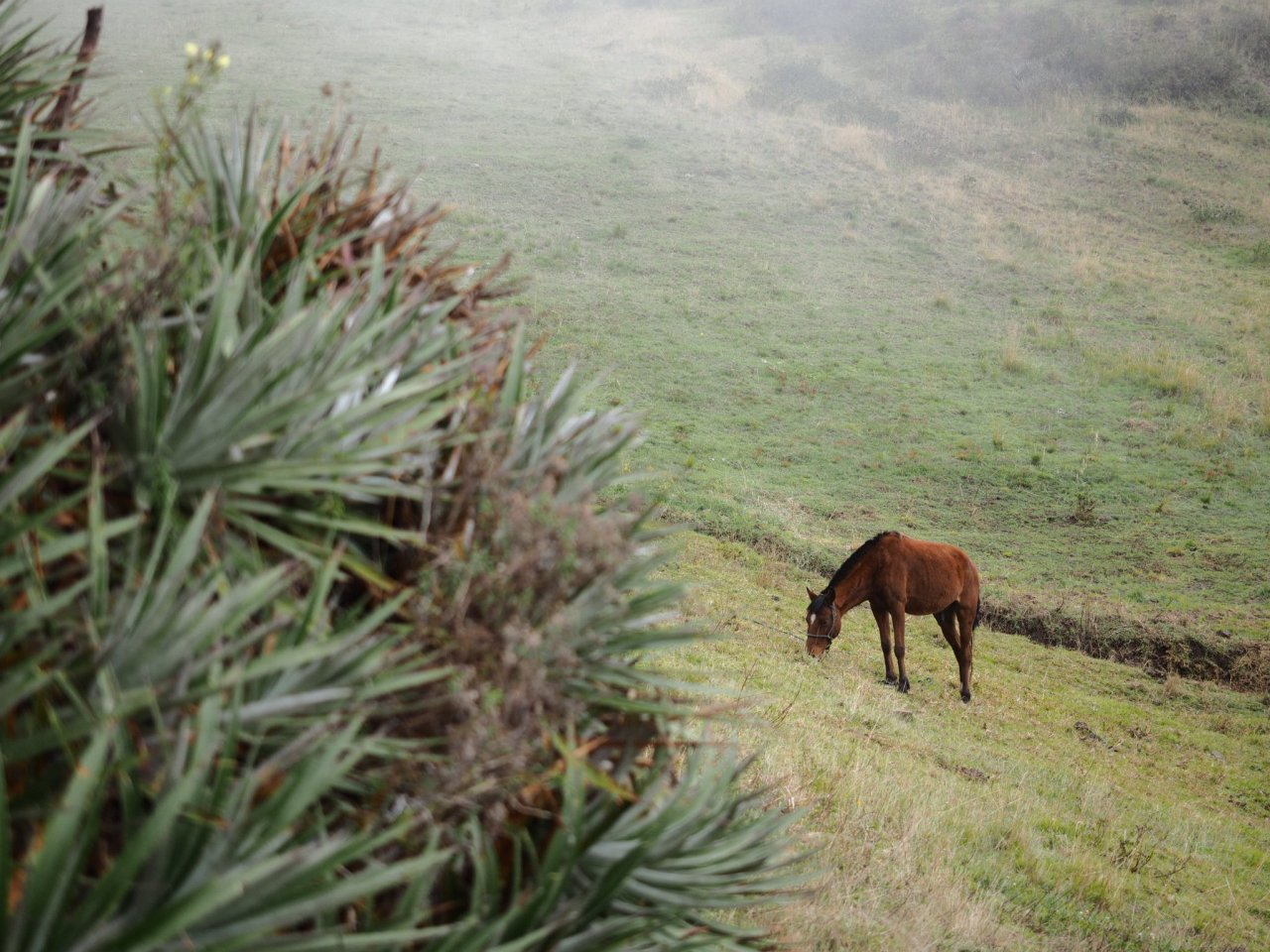
Just me and the horses around here.
Yeah, this part wasn’t fun.
I reached Simiatug around 1:45, about an hour later than expected. It was market day and the small town was bustling with people, who eyed me strangely as I passed through. All I cared about was food, and I quickly found my way to the lunch vendors and enjoyed a $2 meal of tasty soup, chicken, rice, veggies and this potato patty I don’t know the name of. I checked my GPS to see how far I had to go to Salinas – only 22 kilometres it said, but there was one big 900 metre climb left. Nuts. Somehow I missed that when planning out my day.

Simiatug was busy on market day.
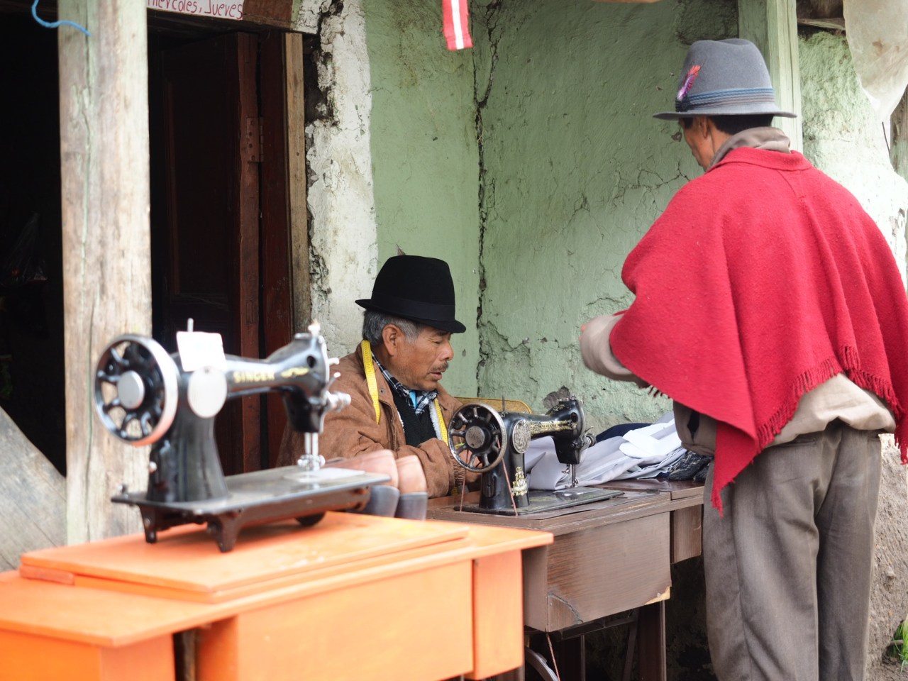
An elderly man fixes clothes on the main street.
Simiatug is a very utilitarian town.
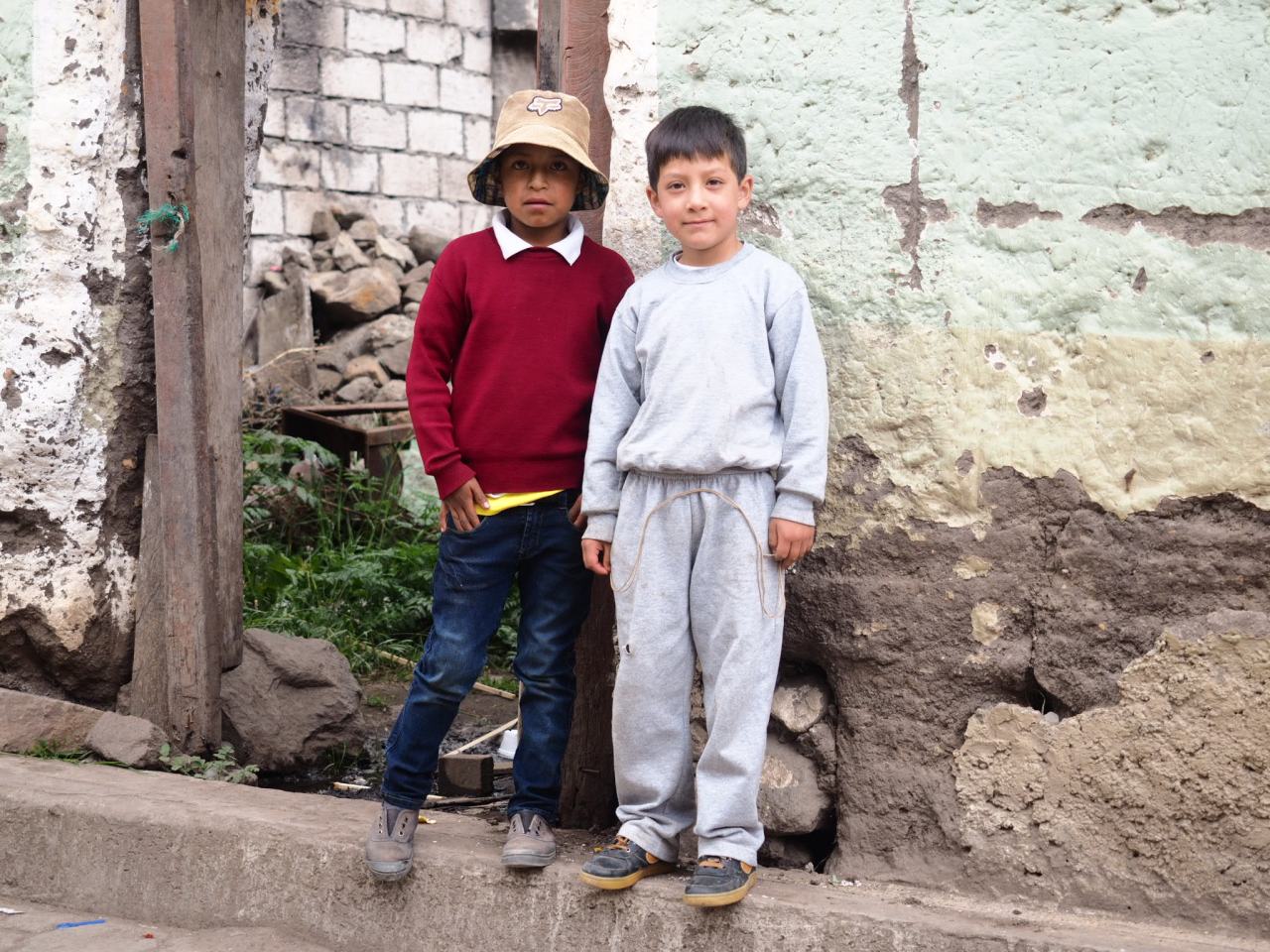
These kids took an interest in me and my bike.
I set off around three after restocking on snacks. I took a dirt road that climbed past poor farmhouses before unexpectedly getting spit out onto the main highway. I was moving slow – too slow – and I worried about making my destination. Every time I heard a vehicle approaching I would stop and stick out my thumb and pray for a ride. I was five kilometres from the top of the climb when someone finally stopped and picked me up. It meant missing out on the descent into Salinas, but it also meant getting to town while it was still light.
I was dropped off just outside of town and hopped on my bike to La Minga Hostal, which had a hot shower, comfy beds and a pizza place attached. I spoiled myself to a medium pizza and a large beer before crashing hard.
You can view the GPS track of this route here: https://ridewithgps.com/routes/26717015


3 comments ›